The best walks and hikes in Occitania
4.5
(38584)
266,546
hikers
25,460
hikes
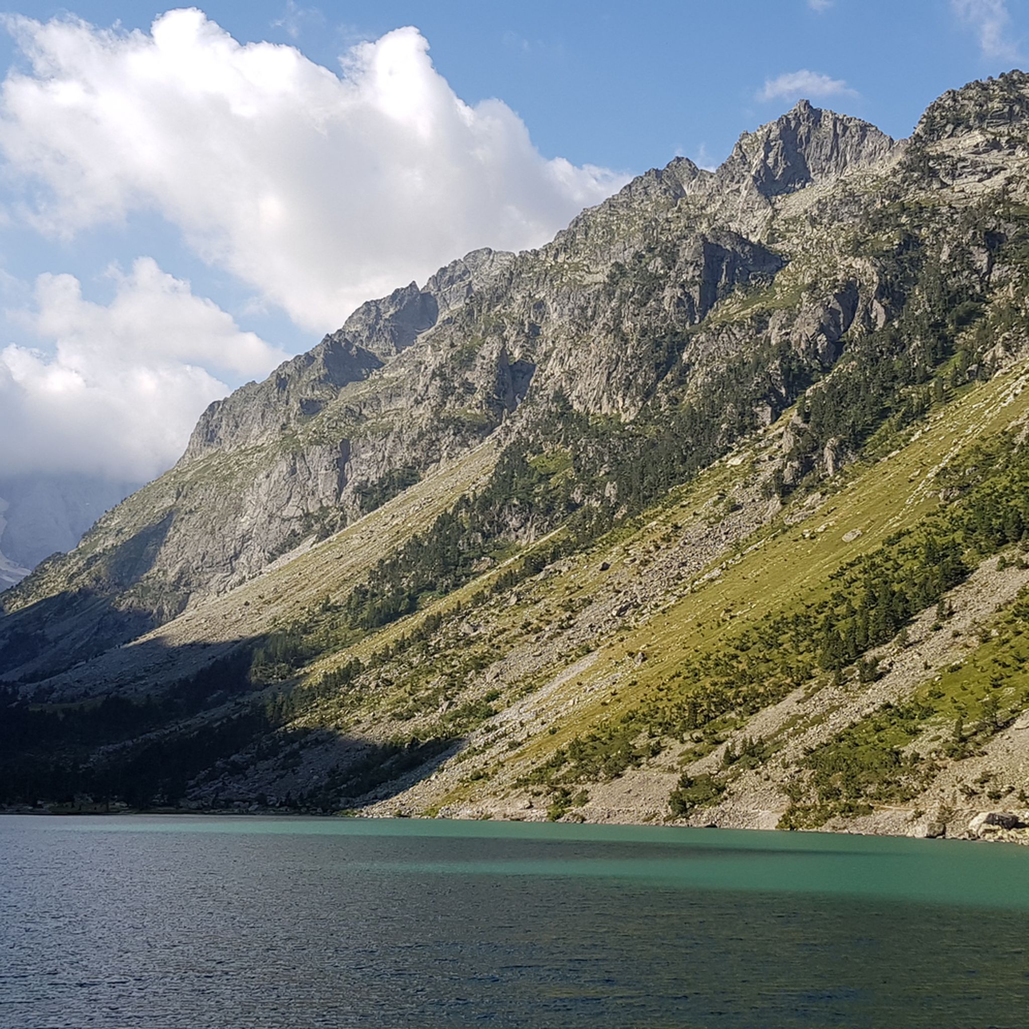
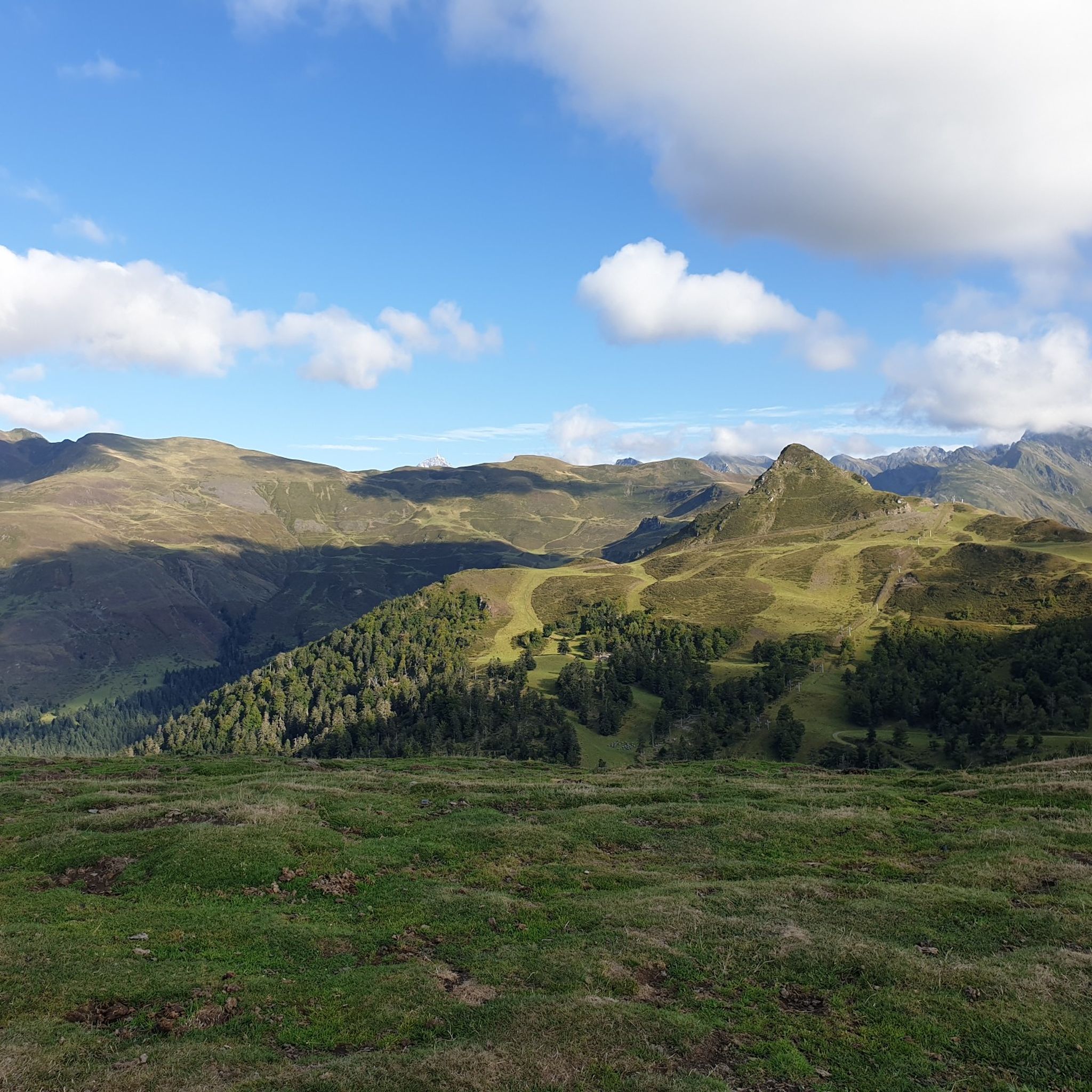
Hiking in Occitania offers diverse landscapes, from the high peaks of the Pyrenees to the mid-mountain ranges of the Cévennes. The region features dramatic river gorges carved into limestone cliffs, vast plateaus, and unique coastal wetlands. An extensive network of marked footpaths provides varied terrain for outdoor activities.
Best hiking trails in Occitania
- The most popular hiking route is The cirque de Gavarnie, a 7.3 miles (11.8 km) trail that takes 4 hours 38 minutes to complete. This moderate…
Last updated: September 29, 2026
4.8
(488)
2,877
hikers
11.8km
04:38
670m
670m
Moderate hike. Good fitness required. Mostly accessible paths. Sure-footedness required.
4.5
(255)
3,328
hikers
5.65km
01:57
310m
310m
Hike the moderate 3.5-mile Pic Saint-Loup Trail from Cazevieille for panoramic views of the Cévennes and the Mediterranean Sea.

4.8
(195)
2,276
hikers
16.5km
05:20
690m
690m
Hard hike. Very good fitness required. Easily-accessible paths. Suitable for all skill levels.
4.8
(190)
2,532
hikers
The ascent to Pic Carlit from Lac des Bouillouses is one of the most iconic routes in the Catalan Pyrenees, offering a complete immersion in a landscape of stunning alpine…
4.7
(247)
1,933
hikers
9.59km
03:42
460m
470m
Moderate hike. Good fitness required. Mostly accessible paths. Sure-footedness required.
4.7
(308)
2,488
hikers
7.14km
02:19
310m
310m
Moderate hike. Good fitness required. Easily-accessible paths. Suitable for all skill levels.
4.7
(184)
2,258
hikers
13.4km
06:00
930m
930m
Hard hike. Very good fitness required. Mostly accessible paths. Sure-footedness required.
4.8
(362)
1,438
hikers
If you're looking for a route that combines adventure with breathtaking scenery, the Gorges de la Carança offer an unforgettable experience. The trail winds through a spectacular canyon, featuring imposing…
4.8
(184)
2,187
hikers
11.2km
04:19
420m
420m
Hike the moderate 6.9-mile Refuge and Lac d'Estom Trail in Pyrenees National Park, featuring waterfalls, wildlife, and a stunning lake.
4.9
(304)
1,810
hikers
11.5km
04:18
570m
570m
Moderate hike. Good fitness required. Mostly accessible paths. Sure-footedness required.
Get access to more routes and recommendations from other explorers.
Already have an account?
Our route recommendations are based on thousands of hikes, rides, and runs completed by other people on komoot.
Start today with a free account
Your next adventure awaits.
Other adventures in Occitania


Tips from the Community

It is a path carved into the rock, hence its name. If you have a bit of courage, you will enjoy an exciting adventure walking through here.
1
0

The GR10 continues towards the Baysselance refuge.
0
0
At the foot of the giant of the Pyrenees, the Vignemale
0
0

The lake, which I had never heard of before my Pyrenees tour, is obviously a "must see" in this region. Together with the waterfall at the end of the lake, it is also a truly worthwhile hiking destination.
2
0
beautiful lake not very difficult within everyone's reach.
0
0

The cornice path is superb. Shady and spectacular at the same time.
0
0
As a local and a cyclist, I can confirm that the scenery is magnificent and the small roads are ideal for cycling, provided you avoid the peak period from July 15th to August 15th. However, I regret that you only mention the village of Le Rozier in the route descriptions, while the photos are mostly of Peyreleau, a superb, unspoiled village, away from the traffic of the gorges, which it faces on the other side of the Jonte River! Note: Le Rozier is in Lozère, while Peyreleau is in Aveyron.
0
0

Splendid view of the surrounding peaks.
0
0
Frequently Asked Questions
How many hiking trails are available in Occitania?
Occitania boasts an extensive network of over 24,000 hiking routes. These trails cater to all abilities, from easy strolls to challenging multi-day treks, ensuring there's something for every hiker.
What is the best time of year to go hiking in Occitania?
The best time to hike in Occitania varies by region. The high Pyrenees are ideal during summer (June to September) when trails are clear of snow. For coastal paths and lower-altitude areas like the Cévennes or Camargue, spring (April to May) and autumn (September to October) offer pleasant temperatures and vibrant scenery, avoiding the summer heat.
Are there family-friendly hiking options in Occitania?
Yes, Occitania offers many family-friendly hikes. The Camargue region, with its unique wetlands and wildlife, provides easy trails perfect for families. Many regional nature parks also feature well-maintained, shorter loops suitable for all ages. For example, the area around the Cirque de Gavarnie offers accessible paths to witness its impressive waterfall.
Can I find circular hiking routes in Occitania?
Absolutely. Many trails in Occitania are designed as circular routes, allowing you to start and finish at the same point. A notable example is the Mont Liausson - Hike of the Cirque de Mourèze, which offers a loop through unique rock formations. The region's diverse landscapes, from gorges to plateaus, provide numerous opportunities for varied circular walks.
What kind of natural features and landmarks can I expect to see on hikes in Occitania?
Occitania's hikes offer a stunning array of natural features and landmarks. You can explore the dramatic Gorges du Tarn, the high peaks of the Pyrenees with pristine lakes like Lac d'Oô, and the unique wetlands of the Camargue. Historic sites such as the Carcassonne Citadel and the medieval village of Saint-Cirq-Lapopie are also accessible near hiking areas.
Are there any hikes that feature waterfalls in Occitania?
Yes, Occitania is home to spectacular waterfalls, particularly in the Pyrenees. The Cirque de Gavarnie, a UNESCO World Heritage site, is renowned for one of Europe's highest waterfalls, offering a truly breathtaking hiking experience.
What do other hikers enjoy most about hiking in Occitania?
The hiking experience in Occitania is highly rated by the komoot community, with an average score of 4.5 stars from over 29,000 reviews. Hikers frequently praise the region's incredible diversity, from majestic mountain panoramas and dramatic gorges to serene coastal paths, as well as the extensive and well-maintained network of trails.
Are there options for long-distance hiking in Occitania?
Occitania is a prime destination for long-distance hiking. The famous GR10 long-distance trail traverses the entire Pyrenees, offering challenging treks with passes over 2,000 meters. The GR70, also known as Stevenson's Trail, provides an immersive journey through the Cévennes. Additionally, sections of the St. James's Way pilgrimage routes and the historic Cathar Trail pass through the region. For more information on GR footpaths, you can visit visit-occitanie.com.
Are there coastal hiking paths in Occitania?
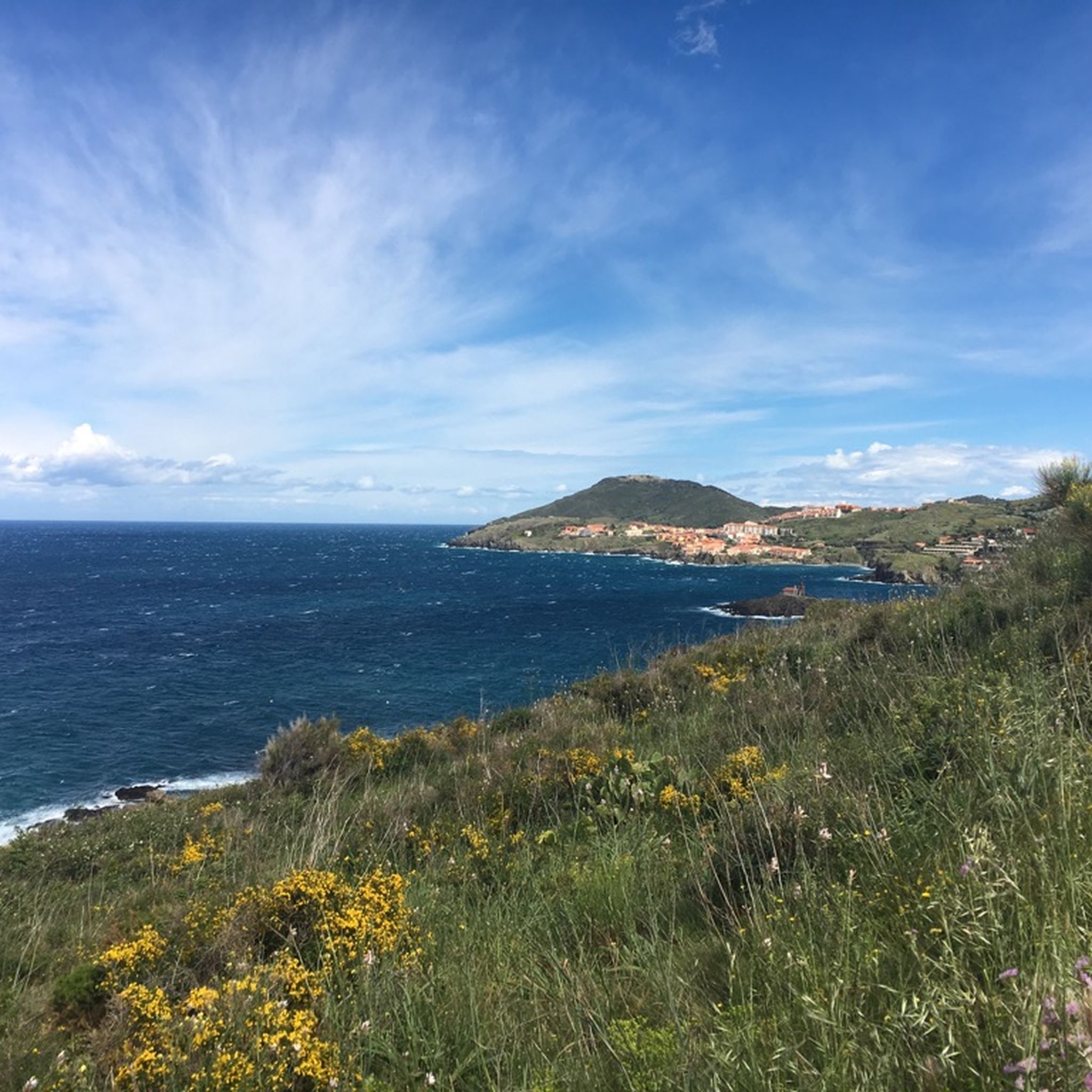
Yes, Occitania's Mediterranean coastline offers unique hiking experiences. Trails like the Coastal Path: Le Racou to Collioure provide a varied mix of sandy beaches, verdant banks, and rocky cliffs, often with stunning sea views. The Camargue region also features easy coastal trails through its distinctive marshland ecosystem.
Are there any challenging hikes for experienced trekkers in Occitania?
Experienced trekkers will find plenty of challenging routes in Occitania, particularly in the Pyrenees. Hikes like Pic Carlit or From Astau Barns to Saussat Lake involve significant elevation gains and rugged terrain, offering rewarding views and a true test of endurance.
Can I access hiking trails in Occitania using public transport?
While many trailheads in Occitania are accessible by car, some areas, particularly around towns and popular destinations, offer public transport options. It's advisable to check local bus or train schedules for specific routes, especially when planning hikes in national or regional parks. For general travel information in Occitania, you might find resources on tourism-occitania.co.uk helpful.
Are there specific regional nature parks worth exploring for hiking in Occitania?
Beyond the national parks, Occitania boasts eight regional nature parks, each protecting diverse landscapes and offering numerous trails. Notable examples include the Haut-Languedoc and Causses du Quercy. These parks provide a wide range of hiking experiences, from granite peaks to vast karst plateaus and deep forests. You can learn more about these parks at visit-occitanie.com.
Most popular routes in Occitania
Most popular attractions in Occitania

Get inspired with the komoot mobile app


Didn’t find what you were looking for?
Check out more Hikes throughout Occitania below and find the perfect route in your destination.
Explore more
Browse the best Hikes in other regions.
