The best walks and hikes around Oberpframmern
4.6
(3352)
18,433
hikers
34
hikes
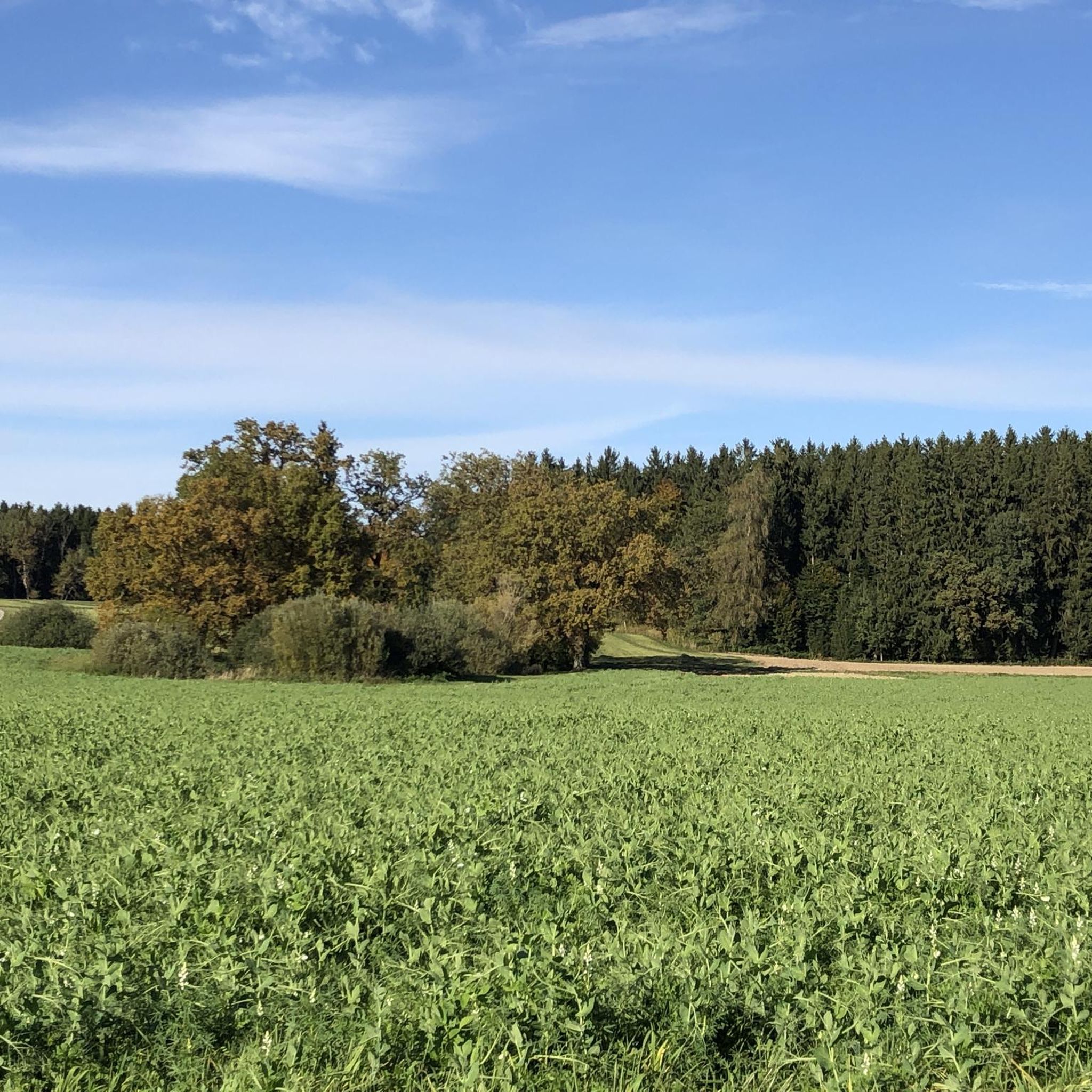
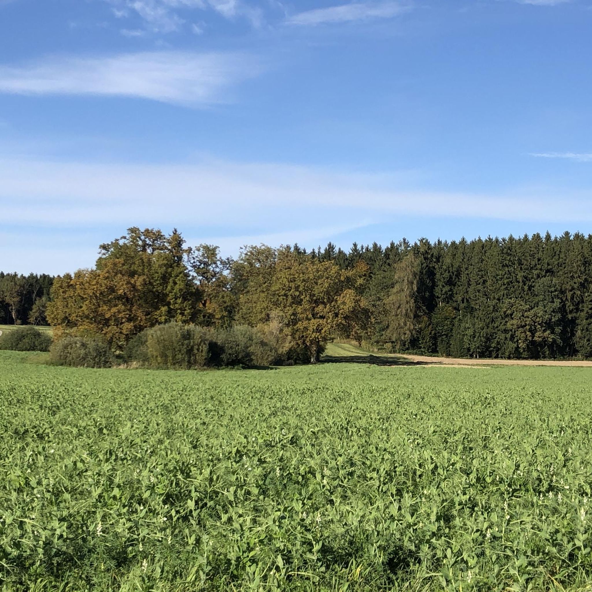
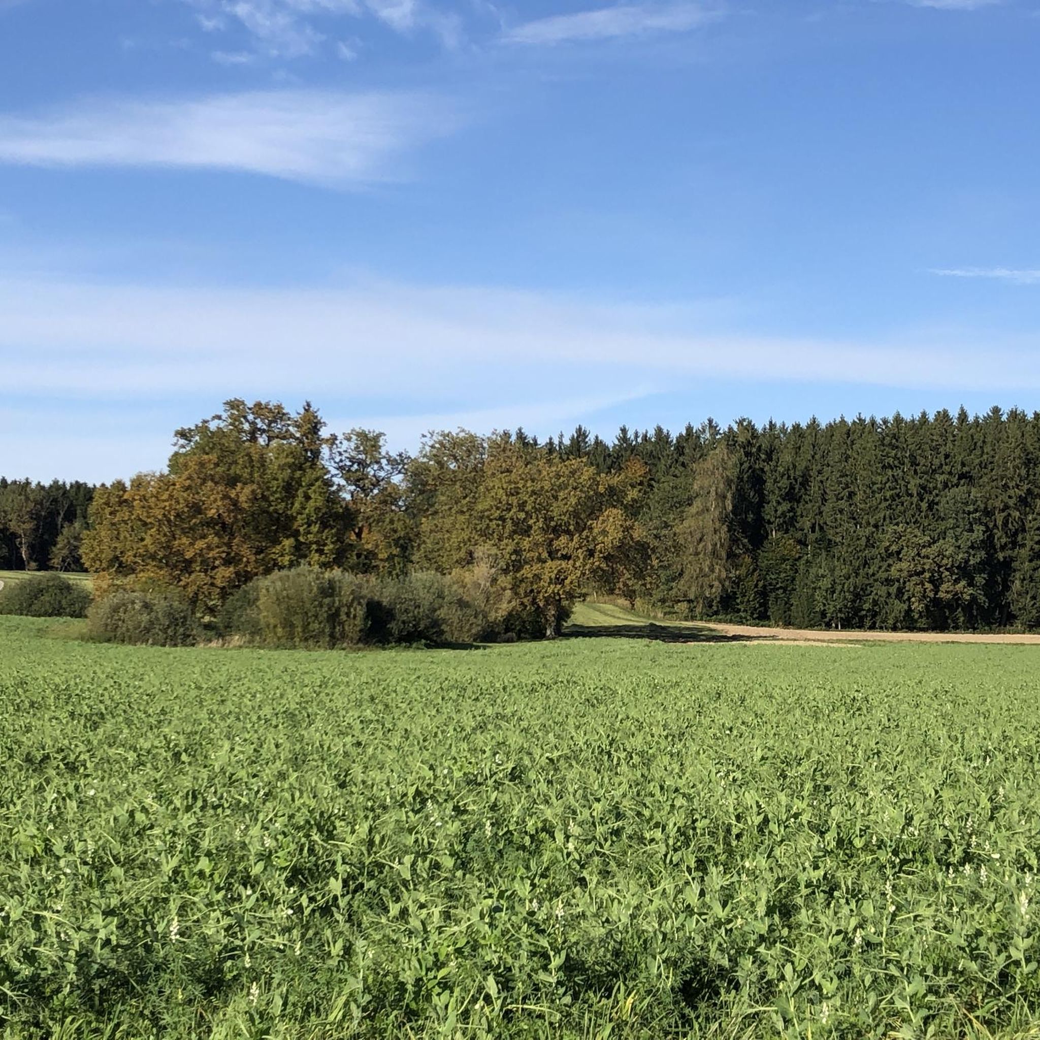
Hiking around Oberpframmern offers diverse landscapes in the Bavarian foothills of the Alps, east of Munich. The region features rolling hills, dense green forests, and vital moors such as the Buchenberger Moos. Trails often follow the Glonn river valley, passing picturesque ponds, and lead to highlights like the Steinsee. Its proximity to the Alps provides potential for panoramic mountain views.
Best hiking trails around Oberpframmern
- The most popular hiking route is St. Andrew's Church, Oberpframmern – Oberpframmern Pond loop from…
Last updated: July 12, 2026
4.8
(14)
55
hikers
Easy hike. Great for any fitness level. Easily-accessible paths. Suitable for all skill levels.
5.0
(2)
9
hikers
8.94km
02:24
110m
110m
Moderate hike. Good fitness required. Easily-accessible paths. Suitable for all skill levels.

Sign up for free
4.3
(4)
13
hikers
Moderate hike. Good fitness required. Easily-accessible paths. Suitable for all skill levels.
5.0
(2)
10
hikers
Easy hike. Great for any fitness level. Easily-accessible paths. Suitable for all skill levels.
4.0
(1)
11
hikers
Easy hike. Great for any fitness level. Easily-accessible paths. Suitable for all skill levels.
Get access to more routes and recommendations from other explorers.
Sign up for free
Already have an account?
Our route recommendations are based on thousands of hikes, rides, and runs completed by other people on komoot.
Start today with a free account
Your next adventure awaits.
Login or Signup
Tips from the Community

Kaffeekandl GbR (July 6, 2025): https://www.kaffeekandl.de/ - Café Opening Hours (Thurs., Fri., Sat., etc.) FACEBOOK (Kaffeekandl Café & Guesthouse, July 6, 2025): https://de-de.facebook.com/people/Kaffeekandl-Café-Pension/100063533765397/
3
0

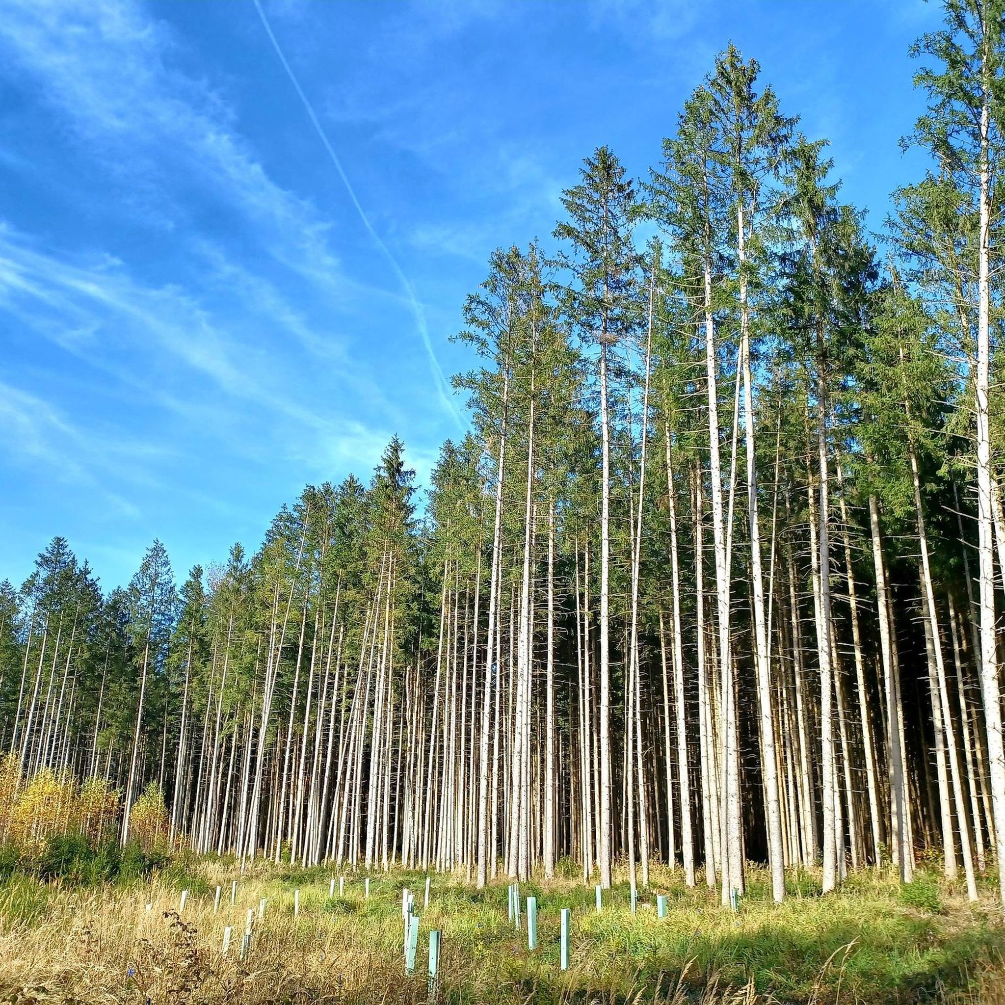
Great gravel route through the forest
1
0

Pretty church, also inside.
3
0

A beautiful church with an onion dome.
3
0

Beautiful gravel path through the forest between Wolfersberg and Schattenhofen.
2
0

The church was built between 1400 and 1430. Inside we find remains of Romanesque frescoes and a Vesperbild from the period 1515 to 1520.
3
0

The Lourdes Grotto is the name given to Marian Grottoes, which are replicas of the Grotto of Massabielle near Lourdes in southern France and Our Lady of Lourdes. In 1858, Saint Bernadette said she saw Our Lady in this grotto. At the site of the Marian apparitions, a Madonna figure adorns the grotto, the original of which Joseph-Hugues Fabisch created for Massabielle in 1864 based on Bernadette's information. Source and further information https://de.m.wikipedia.org/wiki/Lourdesgrotte
1
0

The Steinsee is always very beautiful whether on foot or by bike.
1
1
Frequently Asked Questions
What types of hiking trails can I find around Oberpframmern?
Oberpframmern offers a variety of trails, from easy strolls along river valleys to moderate climbs through rolling hills and dense forests. You'll find 37 hiking routes in total, with 19 classified as easy and 18 as moderate, ensuring options for different fitness levels.
Are there any easy, family-friendly hiking routes in Oberpframmern?
Yes, Oberpframmern has several easy routes suitable for families. An excellent option is the St. Andrew's Church, Oberpframmern – Oberpframmern Pond loop from Oberpframmern. This easy 4.3-mile (6.9 km) trail takes about 1 hour 46 minutes, circling the picturesque Oberpframmern Pond and passing St. Andrew's Church.
Can I find circular hiking routes in the Oberpframmern area?
Many of the trails around Oberpframmern are designed as circular routes, allowing you to start and end in the same location. For example, the View of Steinsee – Steinsee loop from Oberpframmern is a moderate 5.6-mile (9.0 km) path that circles the beautiful Steinsee.
What natural attractions or points of interest can I see while hiking?
The region is rich in natural beauty. You can explore vital moors like the Buchenberger Moos and the "Waldhauser Moor" nature reserve, known for rare plant species. The Glonn river valley offers serene paths, and the Steinsee is a local highlight for its clean water. You might also encounter interesting grottoes, such as the Lourdes Grotto or the Grotto of the Virgin Mary.
What is the best time of year to go hiking in Oberpframmern?
Spring and autumn are particularly recommended seasons for hiking in Oberpframmern. In spring, the flora is in bloom, and in autumn, the landscape is vibrant with golden colors. The mild climate, influenced by the nearby Bavarian Alps, makes it pleasant for outdoor activities throughout these seasons.
Are there any hikes that include a stop at a cafe or guesthouse?
Yes, some routes offer opportunities to stop for refreshments. The Lourdes Grotto – Kaffeekandl Café & Guesthouse loop from Oberpframmern is a 5.1-mile (8.3 km) trail that leads through varied terrain and includes a guesthouse, providing a perfect spot for a break.
What do other hikers say about the trails in Oberpframmern?
The hiking routes in Oberpframmern are highly regarded by the komoot community, holding an average rating of 4.5 stars from over 1600 reviews. Hikers often praise the diverse landscapes, from rolling hills and dense forests to tranquil river valleys and picturesque ponds.
Are there any dog-friendly hiking trails in Oberpframmern?
Many of the natural trails and paths through forests and along river valleys in Oberpframmern are suitable for dogs. Always ensure your dog is on a leash where required, especially in nature reserves like the "Waldhauser Moor," and be mindful of local wildlife.
Are there any viewpoints or panoramic views on the hikes?
While Oberpframmern itself is characterized by rolling hills and forests, its proximity to the Bavarian Alps means that some trails, or nearby elevated points, can offer potential for panoramic mountain views, such as those towards the Wendelstein mountain.
How many hiking routes are available in the Oberpframmern area?
There are 37 distinct hiking routes available around Oberpframmern, offering a wide range of experiences for hikers. These include 19 easy and 18 moderate trails.
Can I find trails that explore the unique moor landscapes of the region?
Yes, the Ebersberg district, where Oberpframmern is located, is known for its moors. You can find trails that lead through or near areas like the Buchenberger Moos and the "Waldhauser Moor" nature reserve, which are important ecosystems and home to rare plant species.
Is there a scenic forest trail I can explore?
Certainly. The Scenic Forest Trail – Small Water Source loop from Kitzelsee und Umgebung is an easy 3.3-mile (5.2 km) route that takes you through beautiful forested areas, perfect for a peaceful walk.
Most popular routes around Oberpframmern
Most popular attractions around Oberpframmern

Get inspired with the komoot mobile app


Explore more
Browse the best Hikes in other regions.
