The best walks and hikes around Neuendorf-Sachsenbande
4.6
(1741)
7,242
hikers
567
hikes
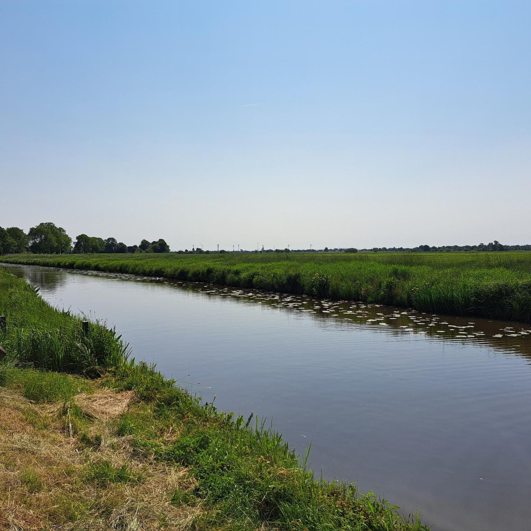
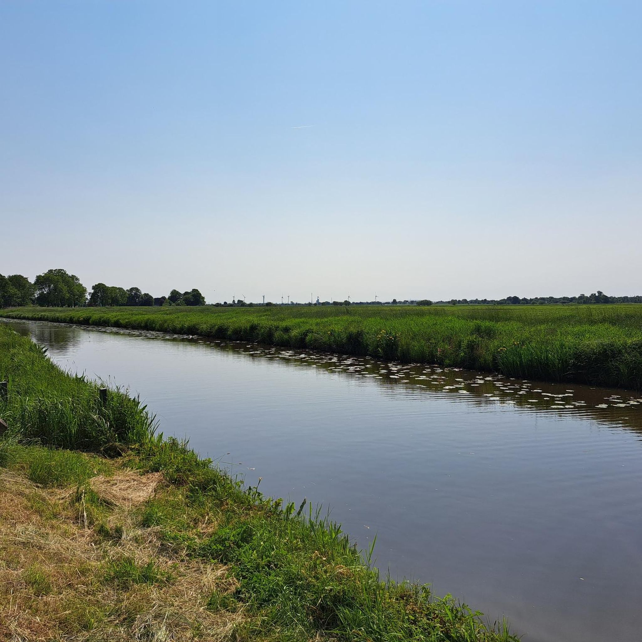
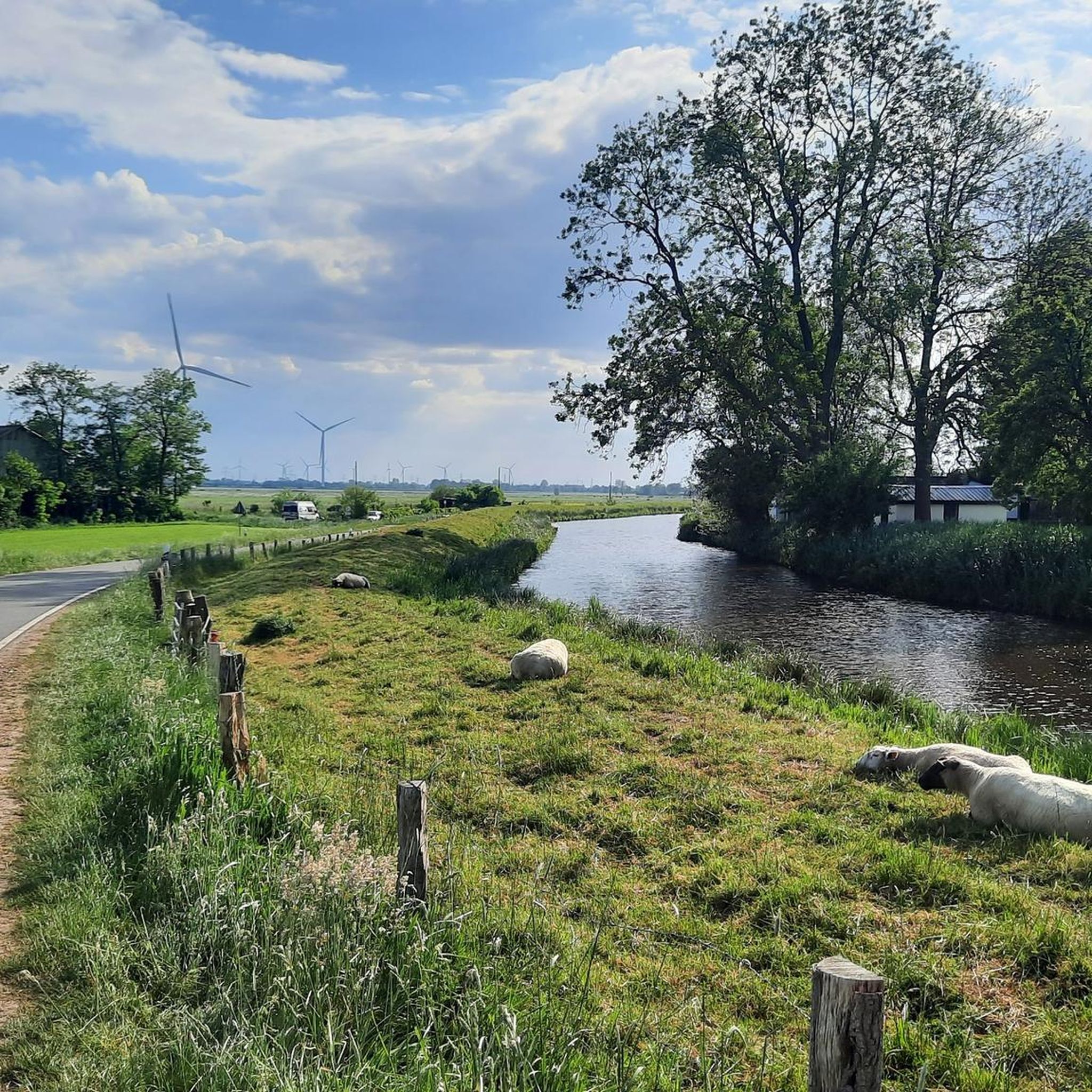
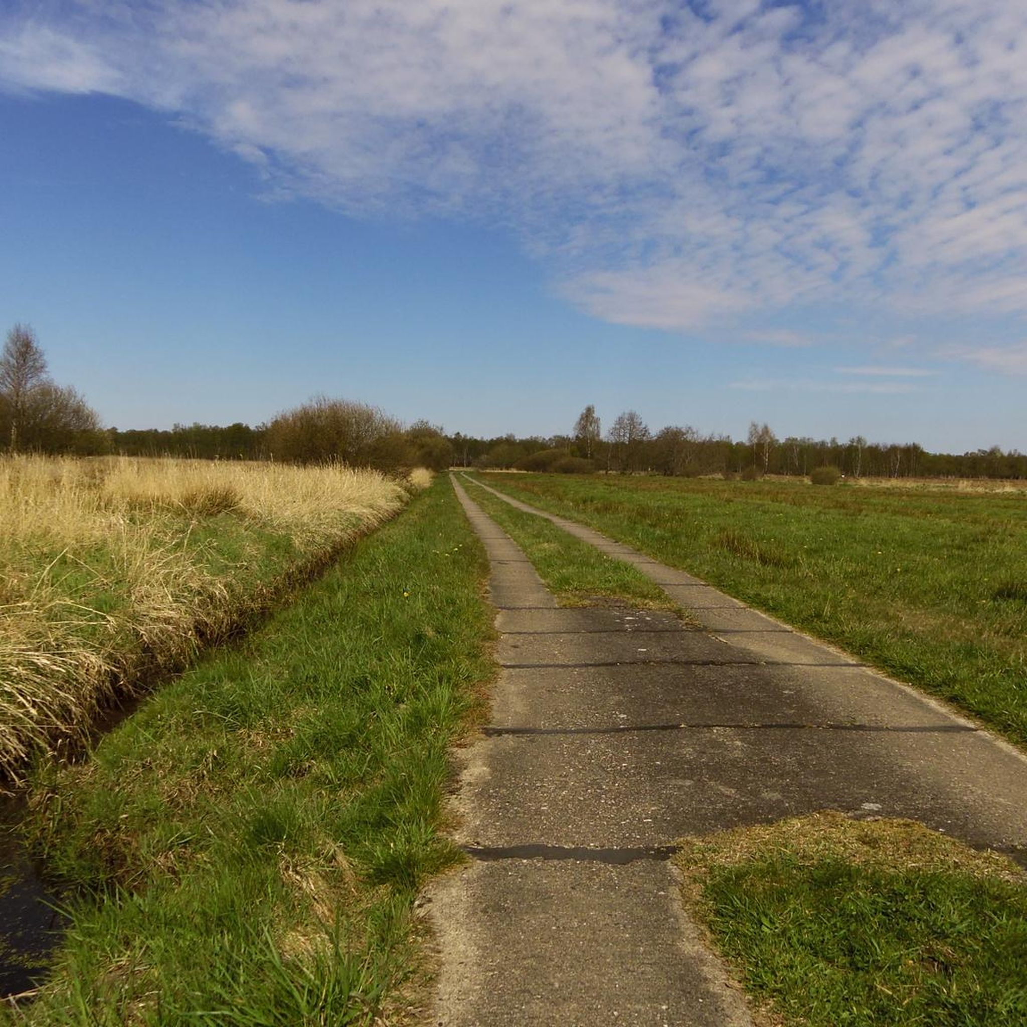
Hiking around Neuendorf-Sachsenbande offers exploration of a distinctive low-lying landscape in the Wilstermarsch region of Schleswig-Holstein, Germany. The area is characterized by an extensive network of waterways, dikes, and flat agricultural lands, including Germany's lowest accessible point at 3.54 meters below sea level. This environment provides opportunities for leisurely walks and observing unique natural and cultural elements shaped by its low elevation. The terrain is generally flat, making it accessible for various fitness levels.
Best hiking trails around Neuendorf-Sachsenbande
- The…
Last updated: May 14, 2026
4.8
(31)
89
hikers
Moderate hike. Good fitness required. Easily-accessible paths. Suitable for all skill levels.
4.7
(15)
38
hikers
Moderate hike. Good fitness required. Easily-accessible paths. Suitable for all skill levels.

Sign up for free
4.7
(3)
10
hikers
Moderate hike. Good fitness required. Easily-accessible paths. Suitable for all skill levels.
3.0
(1)
6
hikers
10.8km
02:44
20m
20m
Moderate hike. Good fitness required. Easily-accessible paths. Suitable for all skill levels.
3.5
(4)
5
hikers
Easy hike. Great for any fitness level. Easily-accessible paths. Suitable for all skill levels.
Get access to more routes and recommendations from other explorers.
Sign up for free
Already have an account?
Our route recommendations are based on thousands of hikes, rides, and runs completed by other people on komoot.
Start today with a free account
Your next adventure awaits.
Login or Signup


Other adventures around Neuendorf-Sachsenbande

Tips from the Community

Nice restaurant with delicious food and cool drinks - highly recommended 💯🔝👍🏻😋
0
0


The Old Harbor of Burg looks back on a long history. It was once an important transshipment point for shipping in Dithmarschen and shaped life in the town for many decades. Today, the calm lake is reminiscent of the time of sailors and boatmen and makes the past of the place still palpable.
1
0
The Herthateich pond is the ideal place to experience Burg's unusual topography (forest and hills in the heart of Dithmarschen). It combines nature (orchard), culture (open-air stage), and history (Bökelnburg Castle) in a very small area. The Herthateich is located in the center of the health resort of Burg. The area is characterized by a strong contrast to the otherwise rather flat marsh landscape of Dithmarschen. Because Burg lies on the geest (a ridge), the area around the pond is hilly and wooded, giving it an almost fairytale-like, sheltered atmosphere.
0
0
This massive viaduct was built in 1920 for the Marsh Railway and, with a length of 210 meters and a height of up to 26 meters, is one of the largest bridge structures in all of Schleswig-Holstein. The viaduct is still in regular use today by the railway line, which connects Kiel and Hamburg, among other cities.
0
0


A nice place for a short break, very informative place, friendly staff, a visit to the men's restroom is worthwhile ;-)
2
0

Frequently Asked Questions
How many hiking trails are available in Neuendorf-Sachsenbande?
There are over 500 hiking trails around Neuendorf-Sachsenbande. The region offers a wide variety of routes, from easy strolls to more moderate excursions, all exploring the unique low-lying landscape of the Wilstermarsch.
What kind of terrain can I expect on hikes in Neuendorf-Sachsenbande?
The terrain in Neuendorf-Sachsenbande is predominantly flat, characterized by extensive waterways, dikes, and agricultural plains. This makes for generally easy walking conditions, suitable for various fitness levels, focusing on peaceful walks and observing the unique environment shaped by its low elevation.
Are there any easy or family-friendly hiking routes in the area?
Yes, the region is ideal for easy and family-friendly walks due to its flat terrain. Over 380 of the routes are rated as easy. An excellent option is the Burger Ferry House – Burg Ferry Over the Kiel Canal loop from Burger Fährhaus, an easy 7.0 km path that follows the waterways and offers scenic views of the canal.
Are there any circular hiking routes in Neuendorf-Sachsenbande?
Many of the trails in Neuendorf-Sachsenbande are circular, allowing you to start and end at the same point. For example, the Hochdonn Railway Bridge – Burg Ferry Over the Kiel Canal loop from Aebtissinwisch is a moderate 9.4 km loop offering views of the Kiel Canal infrastructure.
What interesting landmarks or attractions can I see while hiking?
The region's unique landscape is dotted with interesting sights. You can explore structures like the Hochdonn Ferry and Railway Bridge on the Kiel Canal or the Kasenort Lock, where the Wilsterau flows into the Stör. The Elbe Cycle Path at Brokdorf also offers consistent terrain along the Elbe River for long-distance walking.
What do other hikers enjoy most about hiking in Neuendorf-Sachsenbande?
The area is highly rated by the komoot community, with an average score of 4.6 stars from over 1600 reviews. Hikers often praise the peaceful atmosphere, the unique low-lying landscape with its extensive waterways, and the accessibility of the flat trails for various activity levels.
Are there any challenging hikes in Neuendorf-Sachsenbande?
While the region is known for its flat terrain, there are a few routes that offer a bit more distance, which can be considered more challenging. There are 15 routes rated as difficult, often due to their length rather than significant elevation changes. The Lowest Point in Germany – View of Herrenmoor bei Kleve loop from Neuendorf-Sachsenbande, at 13.0 km, offers a longer, moderate experience through the unique low-lying landscape.
Can I bring my dog on the hiking trails?
Yes, many trails in Neuendorf-Sachsenbande are suitable for hiking with dogs. Given the rural and agricultural nature of the area, it's generally a dog-friendly environment. However, always keep your dog on a leash, especially near livestock or in nature protection areas, and be mindful of local regulations.
Is there public transport available to reach the trailheads?
Information on specific public transport connections to individual trailheads can vary. It's advisable to check local bus schedules or regional train services that connect to towns within the Wilstermarsch region, such as Wilster or Itzehoe, and then plan your route to the starting points from there.
What is the best time of year to hike in Neuendorf-Sachsenbande?
The flat, open landscape of Neuendorf-Sachsenbande can be enjoyed year-round. Spring and summer offer lush green views and pleasant temperatures, while autumn brings unique colors to the agricultural fields. Even in winter, the clear, wide-open spaces can provide a serene hiking experience, though paths might be damp.
Are there any hikes that pass by lakes or water features?
The region is defined by its water features. Many hikes will take you along dikes and waterways. While large natural lakes are less common, you can find highlights like Deckmann's Ponds or the Muldsberg Clay Pit Lake, which offer scenic spots for a break or observation.
Where can I find parking for hiking trails?
Parking availability often depends on the specific trailhead. Many routes start from small villages or near local attractions where public parking might be available. For example, routes starting from Neuendorf-Sachsenbande or Aebtissinwisch typically have designated parking areas nearby. Always look for local signage.
Most popular routes around Neuendorf-Sachsenbande
Most popular attractions around Neuendorf-Sachsenbande

Get inspired with the komoot mobile app


Explore more
Browse the best Hikes in other regions.
