The best cycling routes around Neuendorf-Sachsenbande
4.6
(3780)
14,410
riders
718
rides
Touring cycling around Neuendorf-Sachsenbande is characterized by its unique low-lying marshland terrain within the Wilstermarsch region. The landscape features extensive waterways, including the Elbe River and the Kiel Canal, providing a flat and accessible environment for cycling. This area is notable for containing the lowest accessible point in Germany, situated 3.54 meters (11.6 feet) below sea level. The region's network of paths often follows dikes and canals, offering consistent and scenic routes.
Best touring cycling routes around Neuendorf-Sachsenbande
- The most…
Last updated: June 27, 2026
4.9
(43)
92
riders
29.9km
01:42
50m
50m
Easy bike ride. Great for any fitness level. Mostly paved surfaces. Suitable for all skill levels.
4.8
(4)
25
riders
Easy bike ride. Great for any fitness level. Mostly paved surfaces. Suitable for all skill levels.

Sign up for free
20
riders
11.5km
00:41
20m
20m
Easy bike ride. Great for any fitness level. Mostly paved surfaces. Suitable for all skill levels.
5.0
(4)
10
riders
Easy bike ride. Great for any fitness level. Mostly paved surfaces. Suitable for all skill levels.
4.9
(7)
12
riders
Easy bike ride. Great for any fitness level. Mostly paved surfaces. Suitable for all skill levels.
Get access to more routes and recommendations from other explorers.
Sign up for free
Already have an account?
Our route recommendations are based on thousands of hikes, rides, and runs completed by other people on komoot.
Start today with a free account
Your next adventure awaits.
Login or Signup

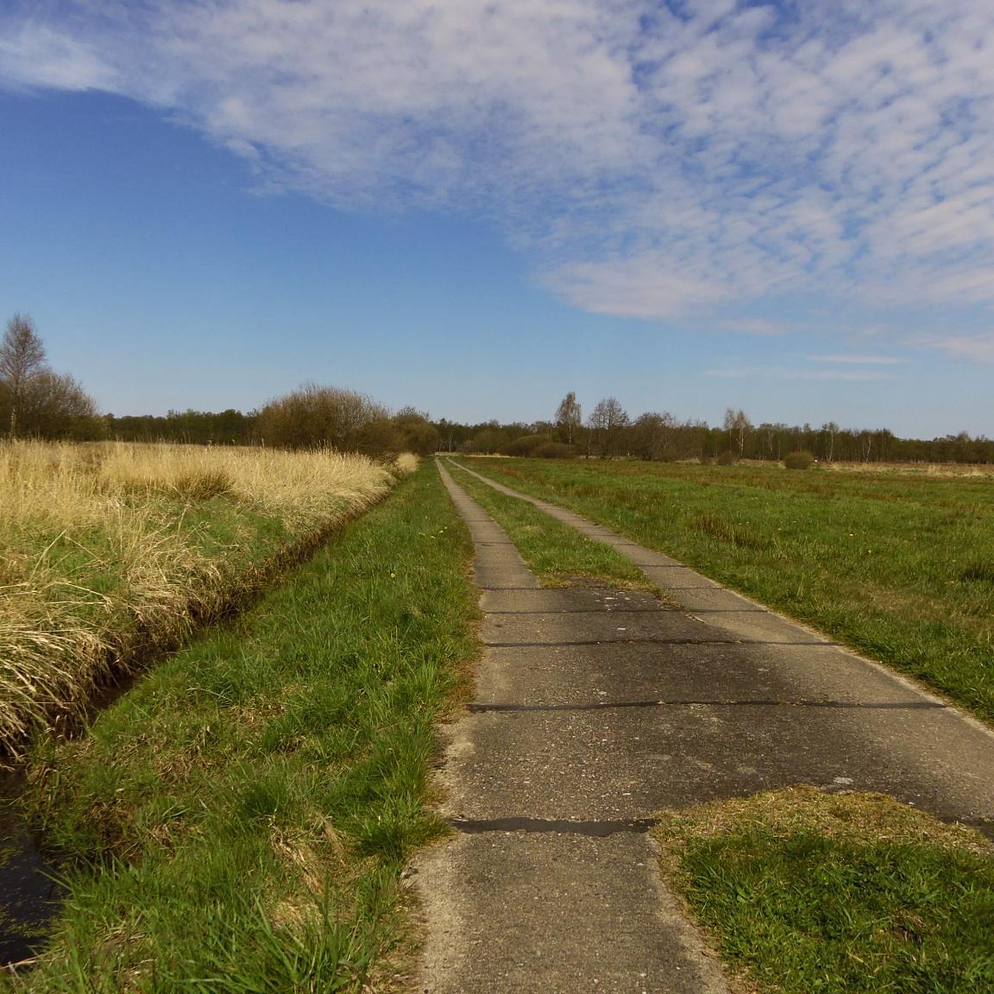
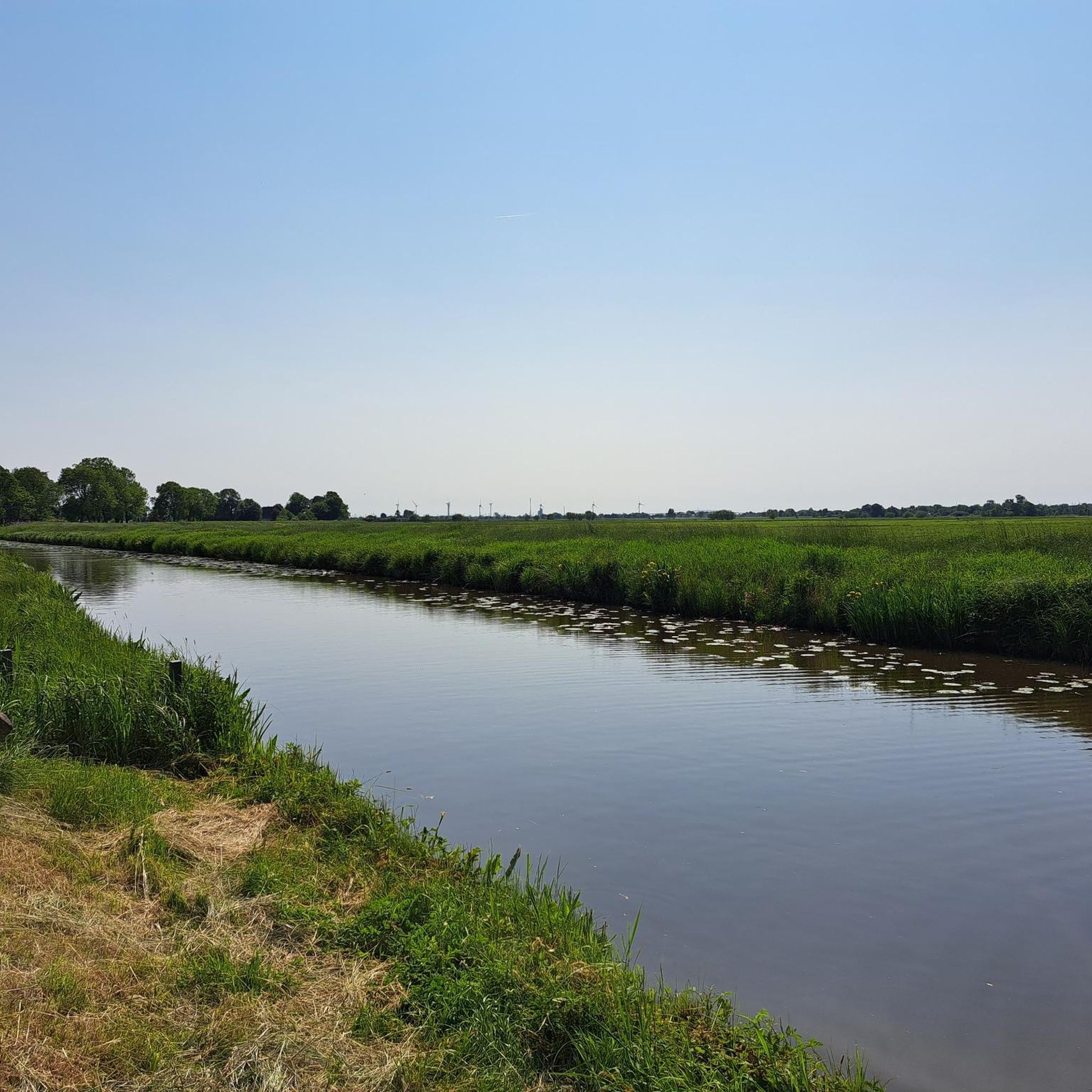
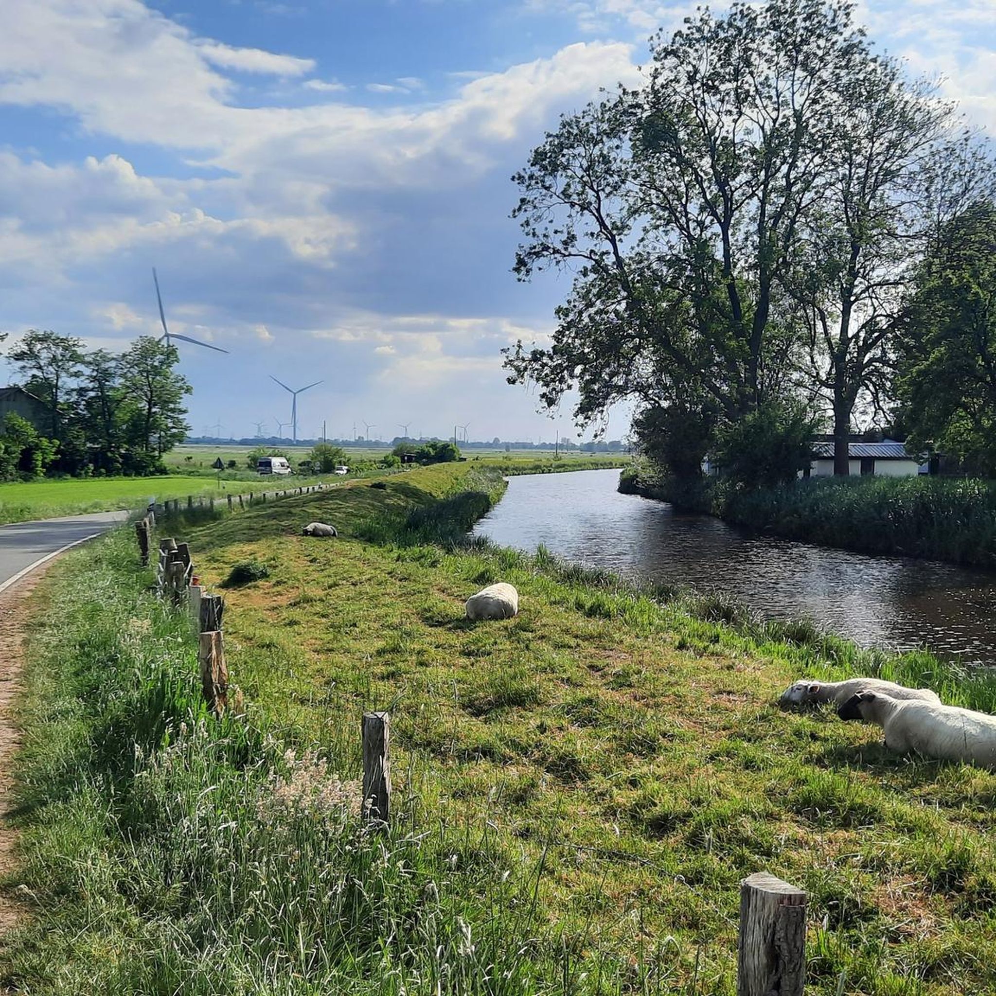
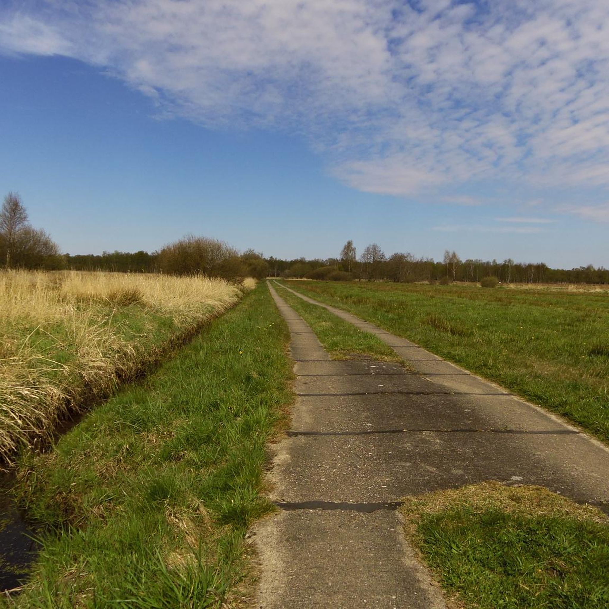

Other adventures around Neuendorf-Sachsenbande

Tips from the Community

Impressive railway bridge - worth seeing 💯🔝👍🏻🚴♀️
3
0


The Burger Au is a so-called marsh water body near Burg in Dithmarschen, in the north of Schleswig-Holstein, and runs approximately parallel to the Kiel Canal. In the past, the Burger Au was an important waterway for regional freight transport; on the bank, the so-called Burger Au harbor (later Kattenstieg) was established, where mainly agricultural products and peat from the Kudensee lowlands were transshipped.
0
0
The Old Country Pharmacy on the market square in Burg Dithmarschen is a historical gem with a unique history that lives on today in a museum. The royally privileged pharmacy was originally founded in 1839 in a roughly 200-year-old building on the market square in Burg. The building is often described as picturesque, with blue wooden doors in a white house surrounded by old linden trees. The pharmacy's historical inventory was later closed (the pharmacy itself closed in 2010) and reconstructed as a pharmacy museum on the upper floor of the local history museum, DITMARSIUM (Große Mühlenstraße 6), and opened to the public.
0
0


Hello, this is definitely the Hochdonn railway bridge. The Rendsburg High Bridge is located about 45 km further east in Rendsburg. This bridge was built between 1913 and 1920 to replace a swing bridge 12 km further west (Taterpfahl). Parts of this swing bridge were used to cross the Schlei River for the Lindaunis Bridge.
2
0

You should see this impressive piece of steel construction at least once and watch the many trains as they pass over the high bridge like on a toy train!
1
0

A large pumping station on the Stör.
1
0
Frequently Asked Questions
How many touring cycling routes are available around Neuendorf-Sachsenbande?
There are over 740 touring cycling routes available around Neuendorf-Sachsenbande. This extensive network offers a wide variety of options for cyclists of all levels.
What is the typical terrain like for touring cycling in Neuendorf-Sachsenbande?
The terrain in Neuendorf-Sachsenbande is predominantly flat, characteristic of the Wilstermarsch region. You'll find yourself cycling through marshland, often along dikes and beside numerous waterways, including the Elbe River and the Kiel Canal. The low-lying landscape, which includes the lowest accessible point in Germany, makes for generally easy and accessible cycling.
What is the best time of year to go touring cycling in Neuendorf-Sachsenbande?
The flat terrain and open landscapes of Neuendorf-Sachsenbande are generally pleasant for cycling from spring through autumn. Warmer months offer the best conditions for enjoying the waterways and nature reserves. Always check local weather forecasts before heading out.
Are there touring cycling routes suitable for families in Neuendorf-Sachsenbande?
Yes, the flat and well-maintained paths in Neuendorf-Sachsenbande are ideal for family cycling. Many routes, like the easy Rumflether Mühle Aurora – Rumflether Mill Aurora loop from Nortorf, offer gentle gradients and scenic views suitable for all ages.
Are there any circular touring cycling routes in the area?
Yes, many touring cycling routes in Neuendorf-Sachsenbande are designed as loops, allowing you to start and end at the same point. An example is the View of the Stör – Kasenort Lock loop from Wilster, which offers scenic views and returns you to your starting location.
What interesting landmarks or natural features can I see while touring cycling in Neuendorf-Sachsenbande?
While cycling, you can encounter several unique features. Don't miss the Lowest Point in Germany, a geographical marvel. You can also cycle along the Elbe Cycle Path at Brokdorf, or visit the Kasenort Lock where the Wilsterau meets the Stör. The St. Margarethen Outer Dike Nature Reserve is also a great spot for nature observation.
Can I experience the Kiel Canal while cycling?
Absolutely! The Kiel Canal (Nord-Ostsee-Kanal) is a prominent feature of the region. You can cycle along its paths and even cross it using the free ferries, such as near the Hochdonn Ferry and Railway Bridge or the Burg Ferry. The Kudensee Pumping Station – Nord-Ostsee-Kanal Cycle Path loop from Aebtissinwisch is a great route to explore this area.
Is public transport available to access touring cycling routes in Neuendorf-Sachsenbande?
While the region is primarily rural, some local bus services connect the smaller towns and villages. For specific route access, it's advisable to check local public transport schedules in advance, especially if you plan to combine cycling with public transport.
Where can I park my car when starting a touring cycling route?
Many starting points for touring cycling routes in and around Neuendorf-Sachsenbande, particularly in larger villages like Wilster or Aebtissinwisch, offer designated parking areas. Look for public parking facilities in town centers or near popular trailheads.
Are touring cycling routes in Neuendorf-Sachsenbande dog-friendly?
Many of the touring cycling routes in Neuendorf-Sachsenbande are suitable for cycling with dogs, especially those along dikes and through open marshland. However, always keep your dog on a leash, especially near livestock or in nature reserve areas like the Nordoe Inland Dunes Nature Reserve, and ensure they are comfortable with the distance and terrain.
What do other touring cyclists say about the routes in Neuendorf-Sachsenbande?
The touring cycling routes in Neuendorf-Sachsenbande are highly regarded by the komoot community, with an average rating of 4.6 stars from over 3,600 reviews. Cyclists often praise the flat, scenic paths along the waterways and the unique marshland experience.
What are the difficulty levels of touring cycling routes in Neuendorf-Sachsenbande?
The majority of touring cycling routes in Neuendorf-Sachsenbande are classified as easy, making them accessible for most cyclists. There are 552 easy routes, 177 moderate routes, and a smaller number of 17 difficult routes for those seeking more of a challenge. The flat topography generally ensures a comfortable ride.
Is it true that Neuendorf-Sachsenbande has the lowest point in Germany?
Yes, Neuendorf-Sachsenbande is indeed home to the lowest accessible point in Germany, situated 3.54 meters (11.6 feet) below sea level. This unique geographical feature is a notable landmark in the region and highlights the distinctive low-lying marshland landscape.
Most popular routes around Neuendorf-Sachsenbande
Most popular attractions around Neuendorf-Sachsenbande

Get inspired with the komoot mobile app


Explore more
Browse the best Cycling routes in other regions.
