The best walks and hikes in Mtskheta-Mtianeti
4.7
(1366)
9,109
hikers
66
hikes
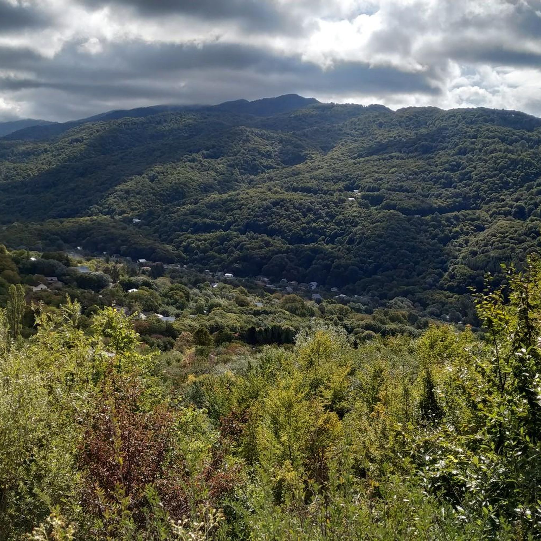
Hiking in Mtskheta-Mtianeti offers diverse terrain within the Greater Caucasus Mountains of eastern Georgia. The region is characterized by high mountain peaks, including Mount Kazbegi, deep river valleys like Truso and Dariali, and protected areas such as Kazbegi National Park. Glacial valleys, alpine meadows, and dense birch forests define much of the landscape, providing varied environments for outdoor activities.
Best hiking trails in Mtskheta-Mtianeti
- The most popular hiking route is Gergeti Holy Trinity Church – Gergeti Watchtower loop from Stepantsminda, a 11.4 miles (18.4 km) trail that takes 8 hours 13 minutes to complete. This difficult route features significant elevation gain towards the iconic church.
- Another top favourite among local hikers is Truso Valley – Sakagori Fortress loop from Truso Valley, a difficult 12.8 miles (20.7 km) path. This trail explores a picturesque gorge known for its mineral water deposits and historical fortresses.
- Local hikers also love the View of Chaukhi Mountain – Kazbegi Boulders Climbing Area loop from Juta, a 5.6 miles (9.1 km) trail leading through mountain scenery, often completed in about 3 hours 3 minutes.
- Hiking in Mtskheta-Mtianeti is defined by soaring mountain peaks, glacial valleys, and historic cultural sites. The network offers options for various ability levels, from moderate walks to challenging multi-day treks.
- The routes in Mtskheta-Mtianeti are highly rated by the komoot community with an average score of 4.6 stars from over 1000 reviews. More than 6000 hikers have used komoot to explore Mtskheta-Mtianeti's varied terrain.
Last updated: August 18, 2026
4.9
(160)
793
hikers
17.9km
08:01
1,350m
1,350m
Hard hike. Very good fitness required. Mostly accessible paths. Sure-footedness required.
4.8
(160)
887
hikers
20.9km
05:47
350m
350m
Hard hike. Very good fitness required. Mostly accessible paths. Sure-footedness required.

Sign up for free
4.7
(145)
732
hikers
Moderate hike. Good fitness required. Mostly accessible paths. Sure-footedness required.
4.9
(76)
426
hikers
9.00km
03:13
450m
450m
Moderate hike. Good fitness required. Mostly accessible paths. Sure-footedness required.
4.8
(73)
589
hikers
Hard hike. Very good fitness required. Mostly accessible paths. Sure-footedness required.
4.9
(61)
371
hikers
9.02km
03:15
450m
450m
Moderate hike. Good fitness required. Mostly accessible paths. Sure-footedness required.
4.9
(60)
472
hikers
Moderate hike. Good fitness required. Mostly accessible paths. Sure-footedness required.
4.7
(54)
277
hikers
6.05km
01:58
290m
290m
Easy hike. Great for any fitness level. Easily-accessible paths. Suitable for all skill levels.
4.6
(22)
152
hikers
Moderate hike. Good fitness required. Mostly accessible paths. Sure-footedness required.
4.6
(26)
110
hikers
4.88km
01:36
240m
240m
Easy hike. Great for any fitness level. Easily-accessible paths. Suitable for all skill levels.
Get access to more routes and recommendations from other explorers.
Sign up for free
Already have an account?
Our route recommendations are based on thousands of hikes, rides, and runs completed by other people on komoot.
Start today with a free account
Your next adventure awaits.
Login or Signup
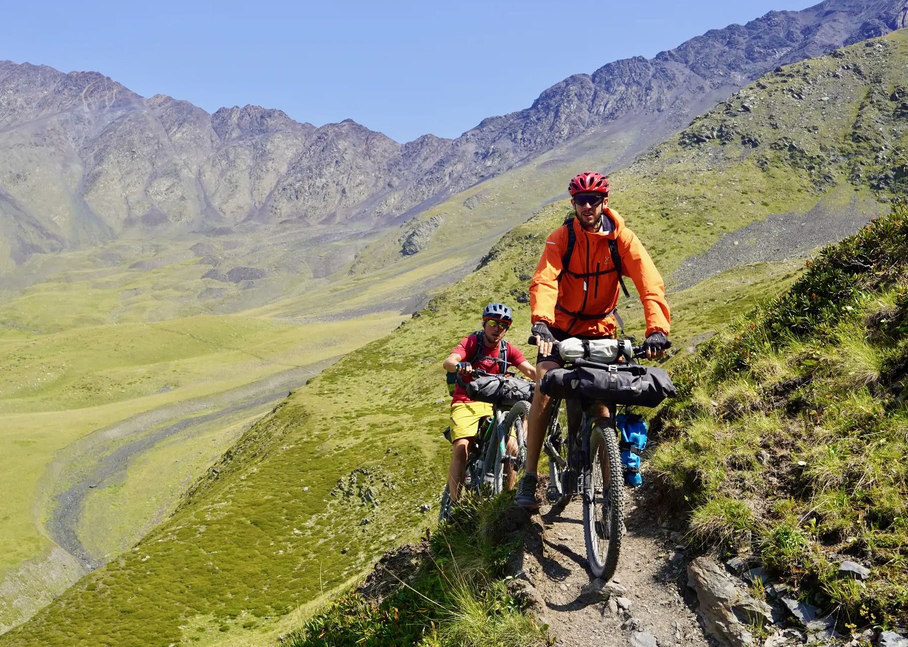
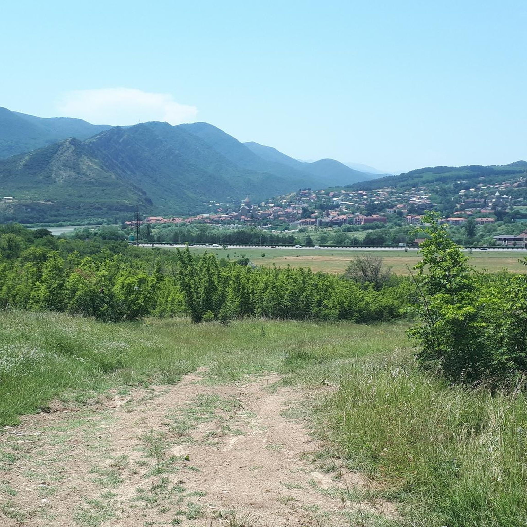
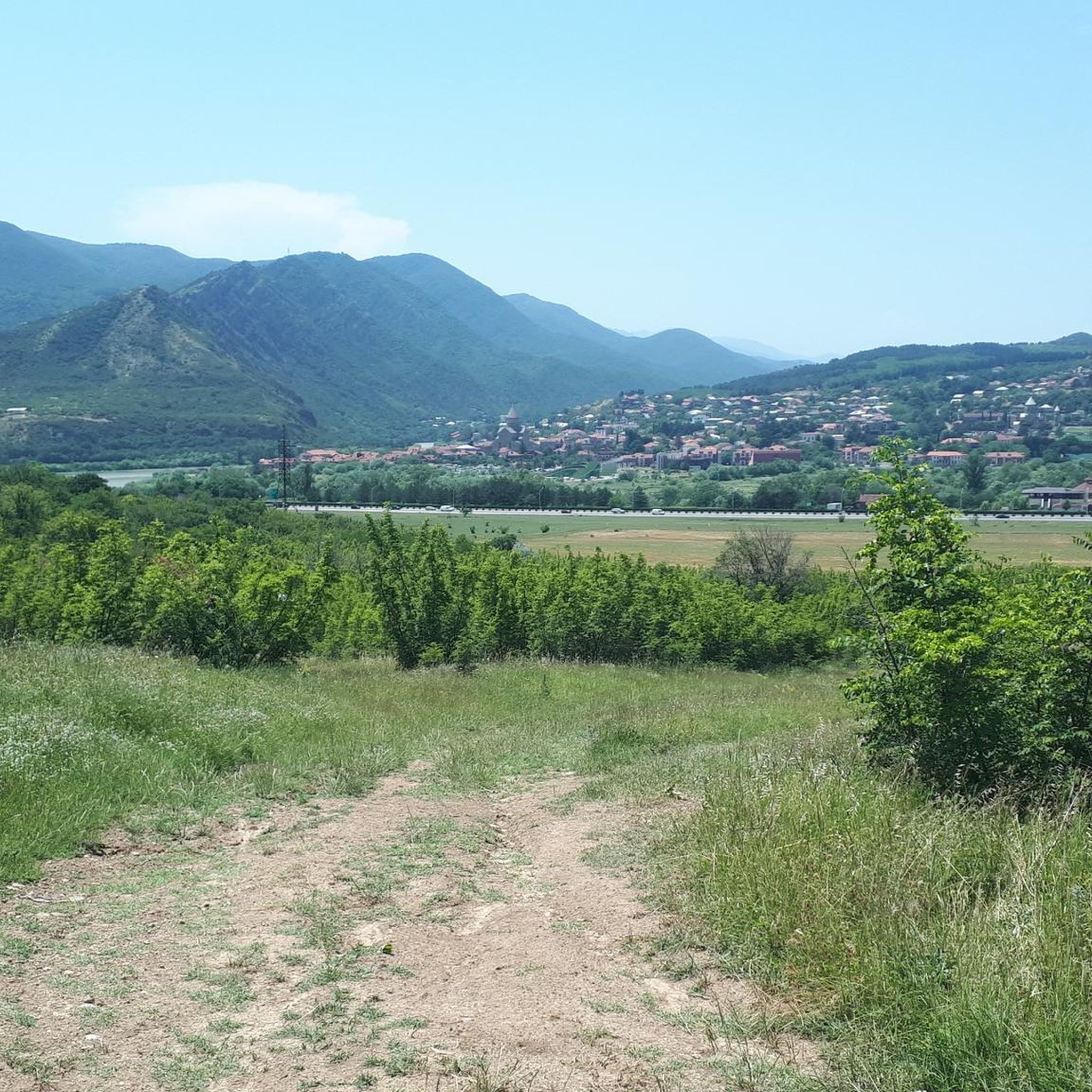
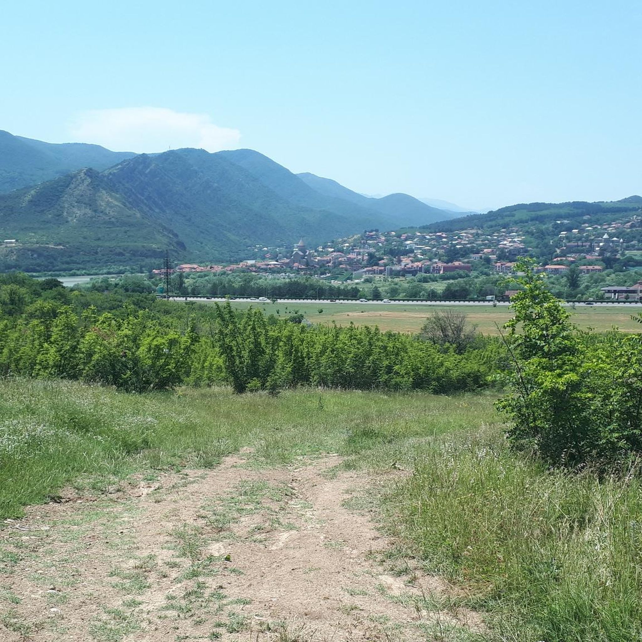


Other adventures in Mtskheta-Mtianeti

Tips from the Community

There is indeed a (metal) bridge over the Terek River here, but it has collapsed and is hanging crooked. Nevertheless, it is still usable to cross the river with dry feet. Wading through the water (certainly doable when I passed in August) is also an option.
1
0
The small Chaukh lake is located at about 2550m above sea level. Hikers on their way to the Chaukhi pass sometimes take a refreshing(!) foot bath or swim a little. A dive is not possible - given the shallow depth. For many tourists with less hiking ambition, it is the final destination of their walk.
1
0
The area with benches and hammocks (but not the back part around the pool) is also accessible for those who eat or drink something in the restaurant/bar. Picnicking is not allowed there. Currently, a larger restaurant with a view of Chaukhi is being built.
1
0
Juta or Ushguli (in Svaneti)? Which of the two is the highest permanently inhabited village in Georgia? Both villages are located at about 2200 meters above sea level.
1
0
The Jutistskali river originates in the high mountains near the mountain village of Juta, where water from local waterfalls flows into it, among other sources, and flows through the Snovallei where it empties into the Snostskali river.
1
0
Travertine is the rock from which the entire Sacré-Coeur in Paris is built. A bit more technically: a limestone formed by the precipitation of lime from calcium carbonate-supersaturated water from hot springs. ... but don't just think of white, but also of the red and orange traces left by mineral springs. This is the case in Keteresi and Abano, two almost abandoned villages, a little further down the valley, among others.
2
0

The Gergeti Trinity Church was the cultural highlight of a tour. Easily accessible from Stepantsminda, a visit is worthwhile just for the great view.
0
0

There's no bridge here. The river is quite fast and cold, but not deep.
0
1
Frequently Asked Questions
How many hiking trails are available in Mtskheta-Mtianeti?
Mtskheta-Mtianeti offers a wide variety of hiking experiences, with over 60 routes documented on komoot. These trails cater to different skill levels, including easy walks, moderate treks, and challenging multi-day expeditions through the Greater Caucasus Mountains.
Are there any easy or family-friendly hiking options in Mtskheta-Mtianeti?
Yes, Mtskheta-Mtianeti has several easy trails suitable for families or beginners. One such route is the Small Chapel – Mountain Stream Valley loop from Stepantsminda, which is just over 6 km long and offers a pleasant walk through the landscape.
What kind of natural attractions can I expect to see while hiking in Mtskheta-Mtianeti?
The region is rich in natural beauty. You can encounter stunning features like the Mineral Spring and Pond in Truso Valley, dramatic gorges, and the iconic Gveleti Waterfall. The Greater Caucasus Mountains, including views of Mount Kazbegi, provide breathtaking backdrops for many trails.
Are there any circular hiking routes in Mtskheta-Mtianeti?
Yes, many trails in Mtskheta-Mtianeti are designed as loops, allowing you to start and end at the same point. A notable example is the Truso Valley – Sakagori Fortress loop from Truso Valley, which explores a picturesque gorge with unique mineral deposits and historical sites.
Can I find trails that feature waterfalls in Mtskheta-Mtianeti?
Absolutely. The region is home to beautiful waterfalls. You can explore the Gveleti Waterfall loop from გველეთის გაჩერება, a moderate 4 km hike that leads directly to the scenic Gveleti Waterfall. Another option is the View of Chaukhi Mountain – Chaukhi Waterfall loop from Juta, offering mountain views and a waterfall.
What are the typical durations and difficulties of hikes in Mtskheta-Mtianeti?
Hikes in Mtskheta-Mtianeti vary significantly. You can find shorter, moderate routes like the View of Chaukhi Mountain – Kazbegi Boulders Climbing Area loop from Juta, which is about 9 km and takes around 3 hours. More challenging, longer routes, such as the Gergeti Holy Trinity Church – Gergeti Watchtower loop from Stepantsminda, can be over 18 km and require more than 8 hours to complete due to significant elevation changes.
What do other hikers say about the trails in Mtskheta-Mtianeti?
The hiking trails in Mtskheta-Mtianeti are highly regarded by the komoot community, boasting an average rating of 4.6 stars from over 1000 reviews. Hikers often praise the stunning mountain scenery, the unique geological formations, and the blend of natural beauty with historical landmarks like the Gergeti Trinity Church.
Are there any historical or cultural landmarks to explore along the hiking routes?
Yes, Mtskheta-Mtianeti is rich in history. The iconic Gergeti Trinity Church, perched high with Mount Kazbegi as its backdrop, is a popular hiking destination. You can also find ancient villages with medieval watchtowers, such as Mutso, and fortresses like Sakagori, which are often integrated into hiking routes, offering a glimpse into Georgia's past.
What is the best time of year to go hiking in Mtskheta-Mtianeti?
The best time for hiking in Mtskheta-Mtianeti is generally from late spring to early autumn (May to October) when the weather is milder and the trails are more accessible. During these months, you can fully enjoy the alpine meadows, clear mountain views, and comfortable temperatures. Winter hiking is possible but requires specialized gear and experience due to snow and colder conditions.
Are there any trails that lead to high mountain views or glaciers?
Absolutely. The region is dominated by the Greater Caucasus Mountains, offering numerous opportunities for high-altitude treks. The Gergeti Waterfall – View of Mount Kazbek Glacier loop from Gergeti is a challenging route that provides stunning views of Mount Kazbek and its glacier. The area around Kazbegi is particularly renowned for its glaciers and dramatic gorges.
Can I find trails that explore unique geological features?
Yes, Mtskheta-Mtianeti is known for its distinctive geological formations. The Truso Valley, for instance, is famous for its colorful mineral water deposits and travertines, which you can experience on routes like the Truso Valley – Sakagori Fortress loop from Truso Travertines Natural Monument.
Most popular routes in Mtskheta-Mtianeti
Most popular attractions in Mtskheta-Mtianeti

Get inspired with the komoot mobile app


Explore more
Browse the best Hikes in other regions.
