The best cycling routes around Mottener Forst-Süd
4.6
(963)
4,817
riders
238
rides
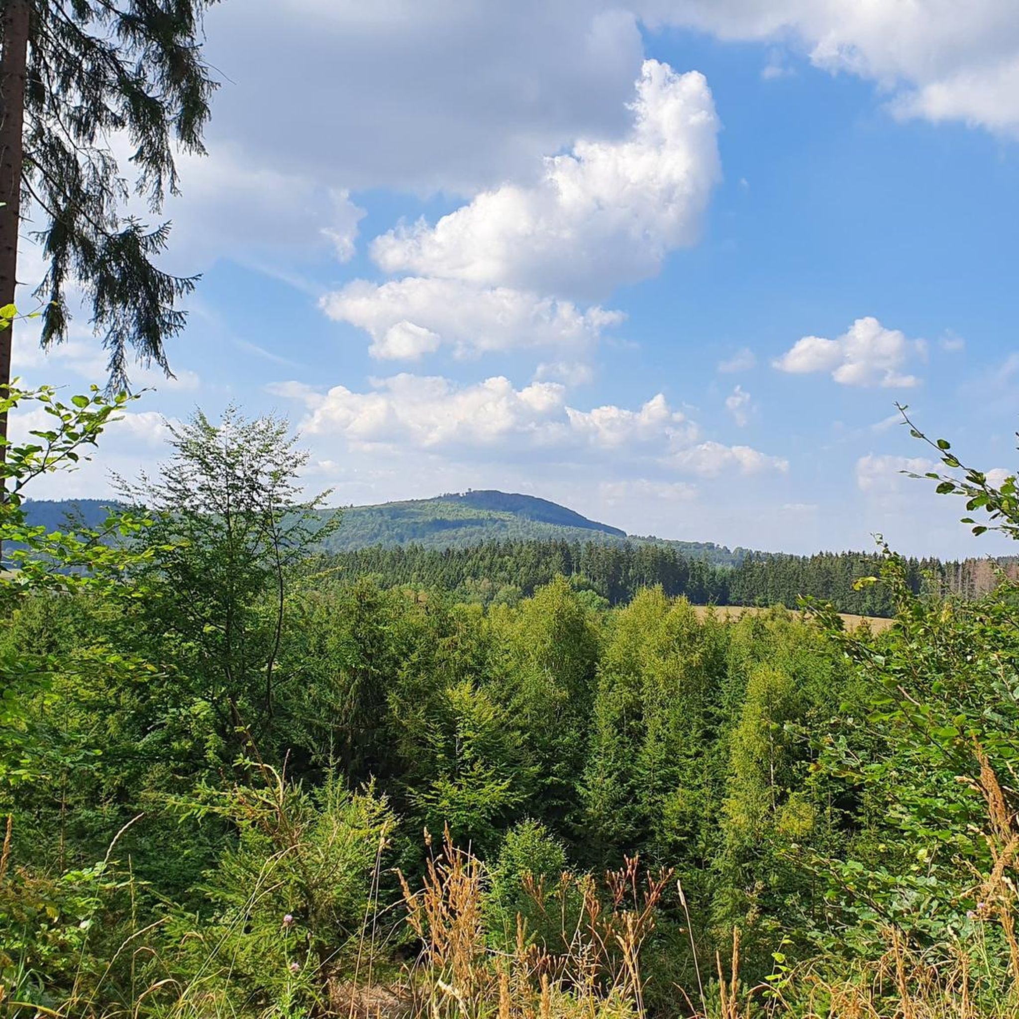
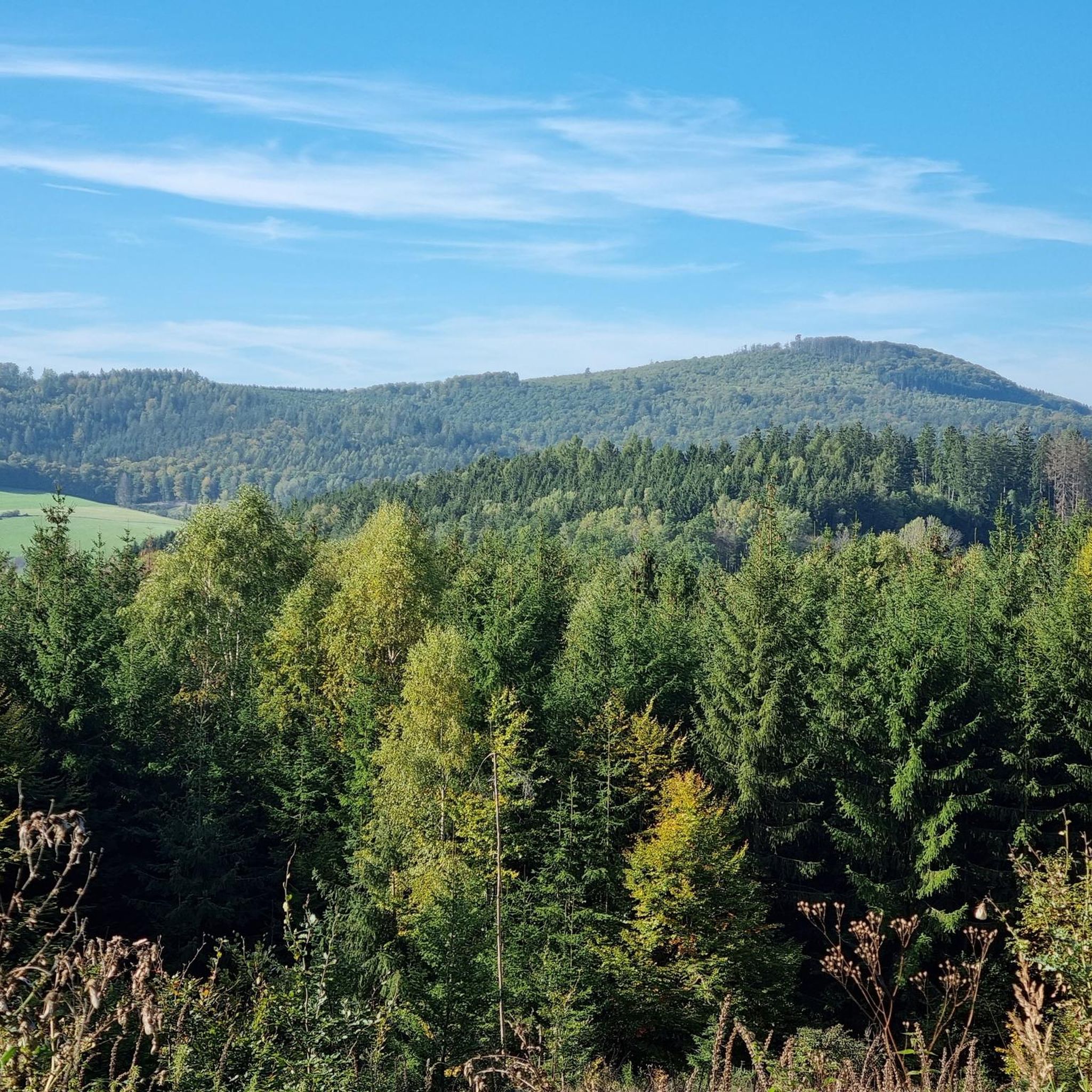
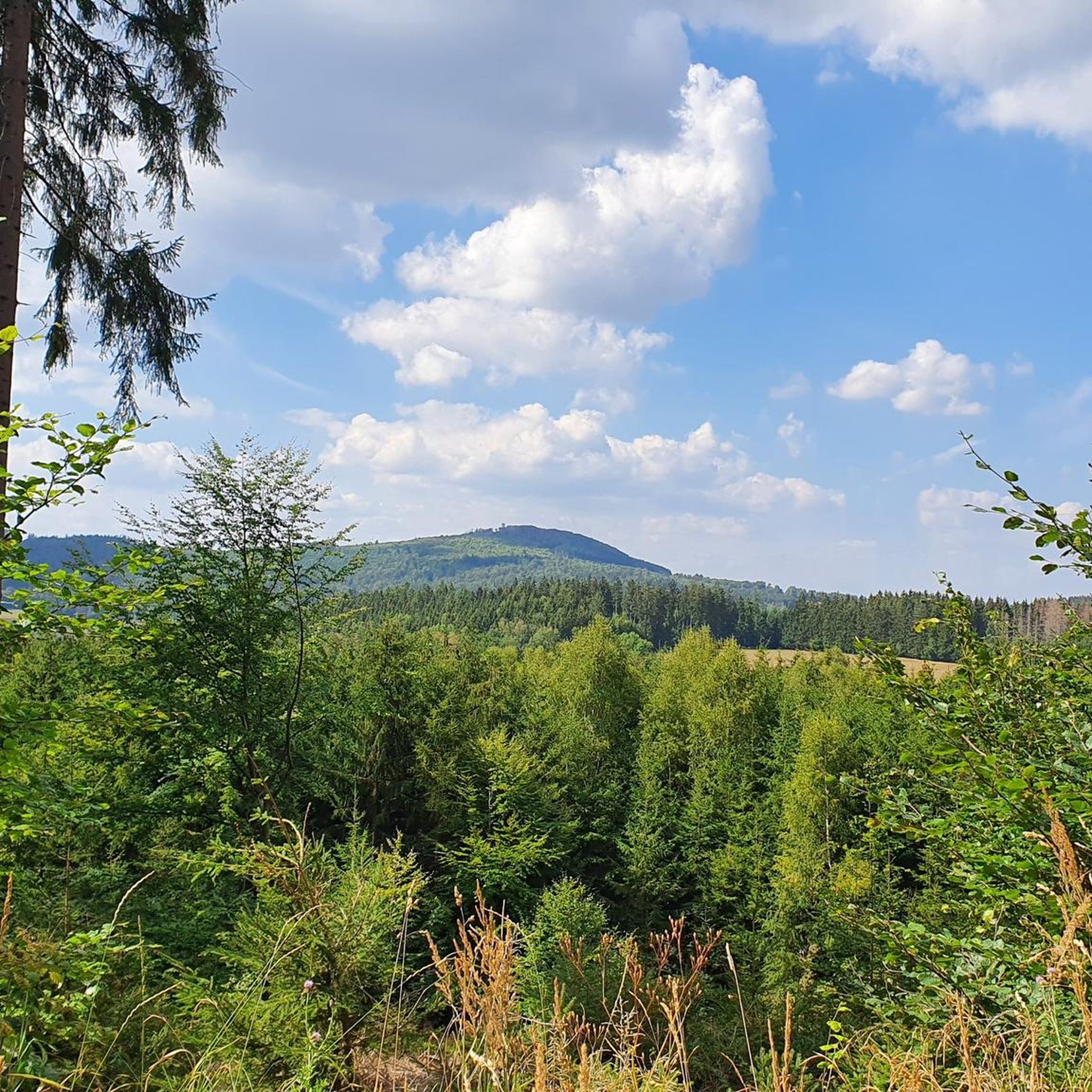
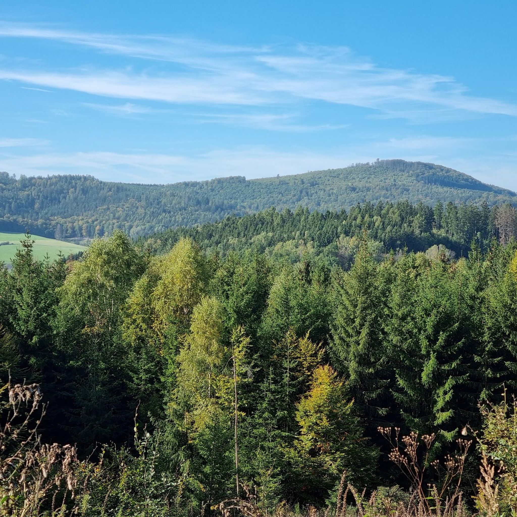
Touring cycling around Mottener Forst-Süd offers routes through an entirely forested and uninhabited area within the Black Mountains Nature Reserve and the broader Rhön Biosphere Reserve. This region features extensive forests, rolling hilltops, and panoramic viewpoints, providing diverse landscapes for cyclists. A notable natural feature is the Basalt Lake Tintenfass, adding a unique geological element to the scenery. The area is well-integrated into extensive cycling networks, making it suitable for various touring cycling routes.
Best touring cycling routes around Mottener…
Last updated: May 20, 2026
4.7
(15)
51
riders
14.7km
01:02
170m
170m
Moderate bike ride. Good fitness required. Mostly paved surfaces. Suitable for all skill levels.
4.7
(20)
93
riders
41.2km
02:53
490m
490m
Hard bike ride. Very good fitness required. Mostly paved surfaces. Suitable for all skill levels.

Sign up for free
4.1
(7)
33
riders
Hard bike ride. Very good fitness required. Mostly paved surfaces. Suitable for all skill levels.
4.7
(7)
31
riders
22.6km
01:43
460m
460m
Hard bike ride. Very good fitness required. Mostly paved surfaces. Suitable for all skill levels.
5.0
(8)
25
riders
45.6km
02:55
560m
560m
Hard bike ride. Very good fitness required. Mostly paved surfaces. Suitable for all skill levels.
Get access to more routes and recommendations from other explorers.
Sign up for free
Already have an account?
Our route recommendations are based on thousands of hikes, rides, and runs completed by other people on komoot.
Start today with a free account
Your next adventure awaits.
Login or Signup

Tips from the Community

Beautiful area!
0
0

The hotel's beer garden is very busy during the summer months, especially with cyclists and hikers. 🍻🚴♀️🚶♂️ #BeerGarden #Hotel #Summer #Occupancy #Cyclists #Hikers
0
0

The oldest known documented mention of Altengronau appears in a Latin document, according to which a certain Hainradus bequeathed the village of Gruona above the Gaza River (today: Jossa) to the monastery of Echternach for the salvation of his soul. The document bears the tenth year of Charlemagne's reign as its only dating feature. According to the Luxembourg historian Henri-Camille Wampach's observations on the dating of Echternach documents, Hainradus' donation was dated to the year 780. This date is now generally accepted as the first documented mention of Altengronau. In contrast, more recent research suggests that Charlemagne's reign as king began as early as 768. After Charlemagne's father, Pippin, died on September 24, 768, an assembly on October 9 elected his sons, Charles and Carloman, joint kings of the Frankish Empire; Carloman ruled the southeastern part of the empire, while Charles ruled the other part. Following this interpretation, Hainradus's deed of gift, and thus the first documented mention of Altengronau, can be dated to 777 or 778. Source: Wikipedia
1
0
At the Gerhausen marble works in Altengronau, approximately 200 employees cut and processed stones from all over the world. In 1985, the company was forced to file for bankruptcy.
1
0
The castle was first documented in 1280. In 1333, it passed to the County of Hanau as an inheritance from the House of Rieneck. It was an imperial fief and formed the administrative center of the Schwarzenfels district. Therefore, after the castles were built, it was expanded into a residential palace, as evidenced today by the richly decorated portal from 1621 with the fountain in front of it. Source: Wikipedia
1
0


Kothener Sauerbrunnen: Beautiful cold mineral water fresh from the spring, a little special in taste but definitely refreshing
0
0

Frequently Asked Questions
How many touring cycling routes are available in Mottener Forst-Süd?
Mottener Forst-Süd offers a wide selection of touring cycling routes, with over 230 options available. These routes cater to various skill levels, including 21 easy, 111 moderate, and 105 difficult trails.
What kind of terrain can I expect when cycling in Mottener Forst-Süd?
The region is characterized by extensive forests and rolling hilltops, providing a diverse landscape for touring cyclists. You'll traverse through serene woodlands and over elevated areas, often enjoying panoramic views of the Rhön mountains. While specific routes may vary, the area is well-integrated into cycling networks, offering options for different terrain types.
Are there routes suitable for beginners or families in Mottener Forst-Süd?
Yes, Mottener Forst-Süd has 21 easy touring cycling routes, making it suitable for beginners and families looking for a more relaxed ride. These routes often follow picturesque river valleys and less-trafficked roads, providing a pleasant experience for all skill levels.
What are some notable natural features or landmarks to see along the cycling routes?
Cyclists can explore several unique features. The Rhön Mountain Lodge offers a welcoming stop, and the Würzburger Karl-Straub-Haus is another hut worth noting. The region also features the unique Basalt Lake Tintenfass and numerous panoramic viewpoints across the Rhön landscape. For a historical perspective, the Mottener Haube Observation Tower provides breathtaking views and is near border stones from 1729.
Are there any circular touring cycling routes in the area?
Yes, many routes in Mottener Forst-Süd are designed as loops, allowing you to start and end at the same point. For example, the Grenzwald Bridge – Beaver Dam at Bieberteich loop from Kothen is a moderate 9.0-mile (14.5 km) path that traverses forested areas and passes by natural features like the Beaver Dam.
Can I bring my dog on the touring cycling routes in Mottener Forst-Süd?
While specific regulations can vary by trail, the natural environment of Mottener Forst-Süd, with its extensive forests, generally welcomes dogs. It's always recommended to keep your dog on a leash, especially in nature reserve areas, and to check local signage for any specific restrictions on individual routes.
Where can I find accommodation or places to eat near the cycling trails?
The region offers several options for rest and refreshment. The newly built Rhön Mountain Lodge provides accommodation and self-service food. Other huts like the Würzburger Karl-Straub-Haus and Luitpold Hut also offer places to stop. Additionally, the nearby Sinntal (Sinn Valley) and towns like Bad Brückenau have further options for cafes, pubs, and accommodation.
What is the best time of year to go touring cycling in Mottener Forst-Süd?
The Rhön region, including Mottener Forst-Süd, is beautiful throughout the warmer months. Spring offers lush greenery, while summer provides pleasant temperatures for longer rides. Autumn brings vibrant foliage, making it a picturesque time to cycle. Always check local weather forecasts before heading out.
How challenging are the touring cycling routes in Mottener Forst-Süd?
The routes in Mottener Forst-Süd range from easy to difficult. You'll find 21 easy routes, 111 moderate routes, and 105 difficult routes. This variety ensures that cyclists of all fitness levels can find a suitable challenge, from leisurely rides through valleys to more demanding ascents over hilltops.
Are there any routes that follow historical paths or offer unique cultural insights?
Yes, the Rhönexpress Rail Cycle Path – Rhönexpress Rail Trail loop from Speicherz is a great example. This 23.9-mile (38.5 km) route follows a historic rail trail, offering a unique blend of cycling and local history through the scenic Rhön landscape.
What do other touring cyclists enjoy the most about touring cycling in Mottener Forst-Süd?
The area is highly rated by the komoot community, with an average score of 4.6 stars from over 800 reviews. Reviewers often praise the extensive forests, the rolling hilltops, and the panoramic viewpoints that offer expansive vistas of the Rhön mountains. The well-integrated cycling networks and diverse route options are also frequently highlighted.
Are there any routes that lead to prominent viewpoints?
Absolutely. Many routes in Mottener Forst-Süd are designed to take you to scenic spots. For instance, the Zum Taufstein Beer Garden – Eichenrieder Weitblick Viewpoint loop from Kothen is a 24.3-mile (39.2 km) trail that leads through forested hills directly to a prominent viewpoint, offering stunning vistas of the surrounding area.
Can I access the cycling routes using public transport?
While Mottener Forst-Süd is a forested area, public transport options to nearby towns and villages exist. It's advisable to check local bus or train schedules for connections to starting points of routes, especially if you plan to bring your bike. Some routes, like those in neighboring Moths, often utilize less-trafficked roads that might be accessible via local transport hubs.
Most popular attractions around Mottener Forst-Süd

Get inspired with the komoot mobile app


Explore more
Browse the best Cycling routes in other regions.
