The best gravel rides around Mottener Forst-Süd
5.0
(10)
60
riders
14
rides
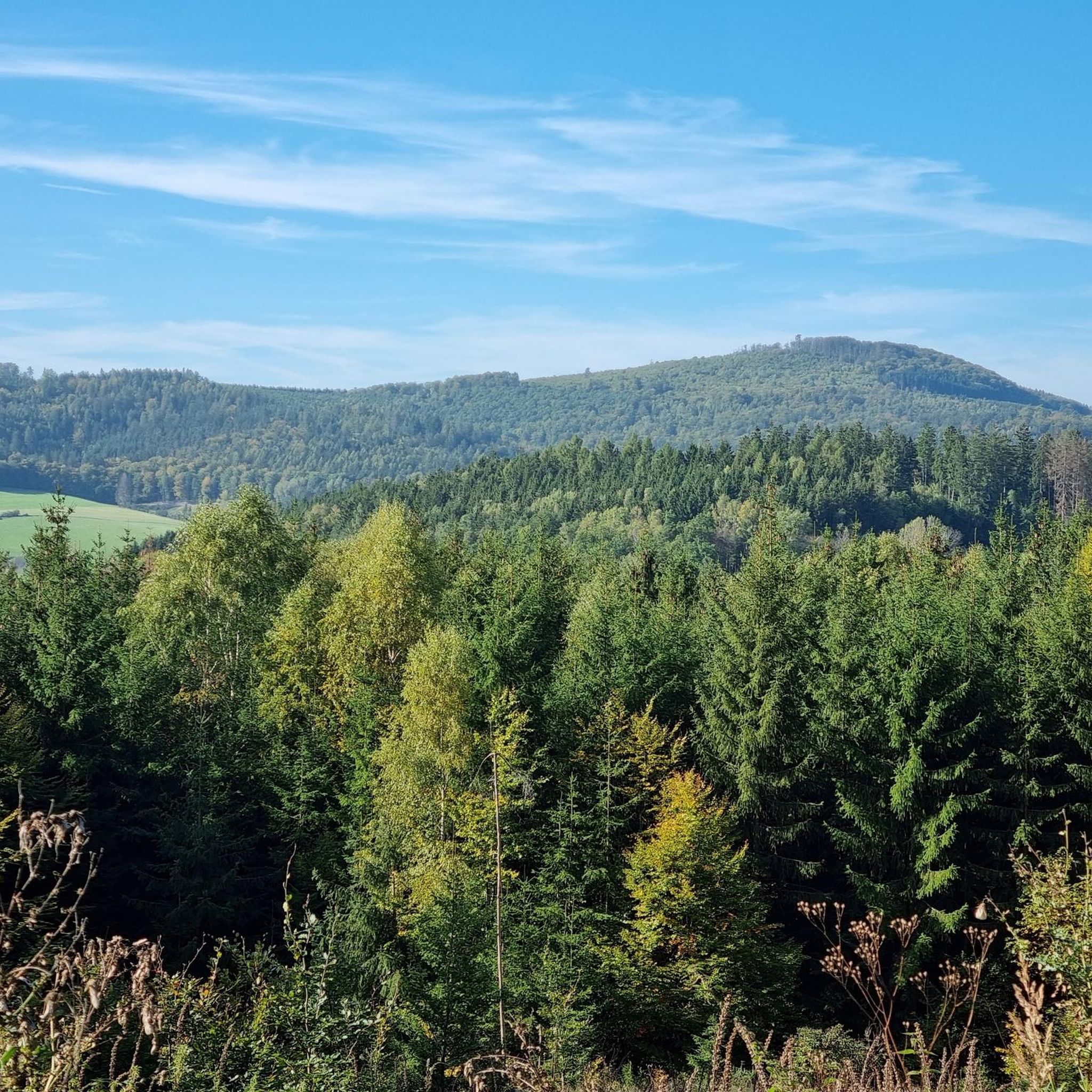
Gravel biking around Mottener Forst-Süd offers varied terrain within an uninhabited, entirely forested area of the Bavarian Rhön. This region is part of both the Black Mountains Nature Reserve and the broader Rhön Biosphere Reserve, providing a rich natural environment. The landscape features extensive cycling networks, native forests, and open views, with elevations reaching up to 633 meters. Mottener Forst-Süd is characterized by its diverse topography, making it suitable for a range of gravel biking experiences.
Best gravel bike trails…
Last updated: July 2, 2026
5.0
(2)
10
riders
34.7km
02:26
740m
750m
Hard gravel ride. Very good fitness required. Mostly paved surfaces. Suitable for all skill levels.
12
riders
69.1km
04:22
1,180m
1,180m
Hard gravel ride. Very good fitness required. Mostly paved surfaces. Suitable for all skill levels.

Sign up for free
5.0
(1)
7
riders
Hard gravel ride. Very good fitness required. You may need to push your bike for some segments of this route.
5.0
(1)
4
riders
48.3km
02:48
570m
580m
Hard gravel ride. Very good fitness required. Mostly paved surfaces. Suitable for all skill levels.
5.0
(2)
5
riders
50.9km
03:28
1,000m
1,000m
Hard gravel ride. Very good fitness required. You may need to push your bike for some segments of this route.
Get access to more routes and recommendations from other explorers.
Sign up for free
Already have an account?
Our route recommendations are based on thousands of hikes, rides, and runs completed by other people on komoot.
Start today with a free account
Your next adventure awaits.
Login or Signup
Tips from the Community

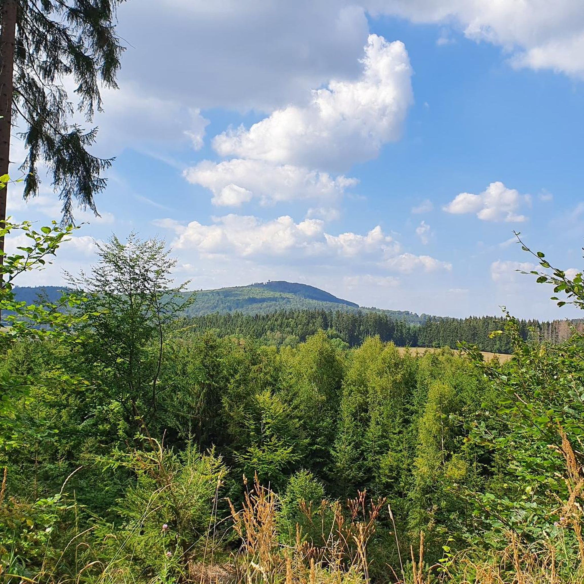
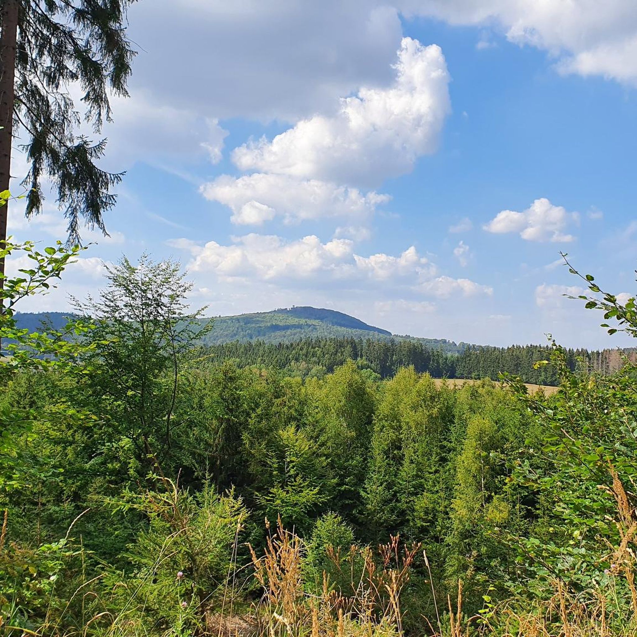
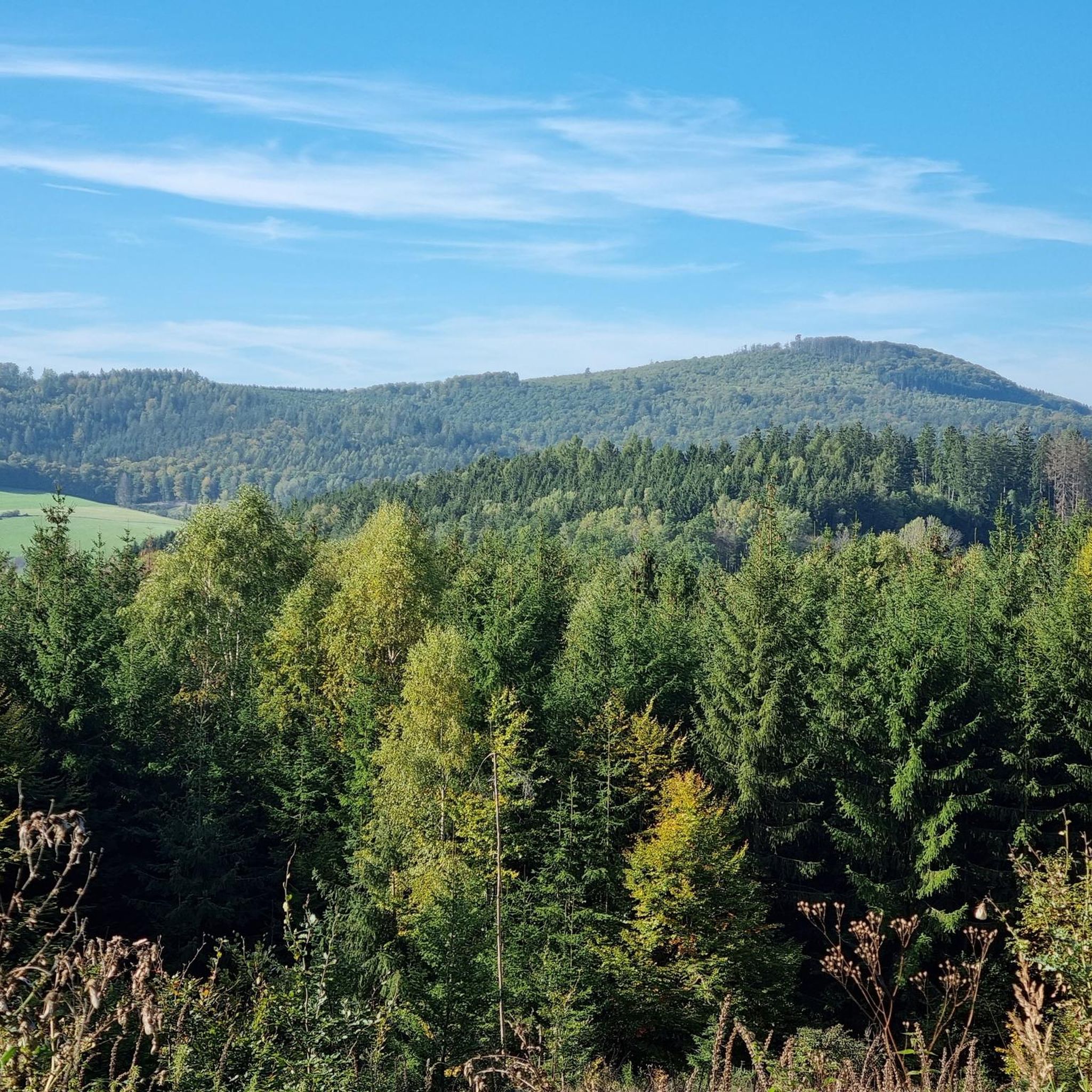
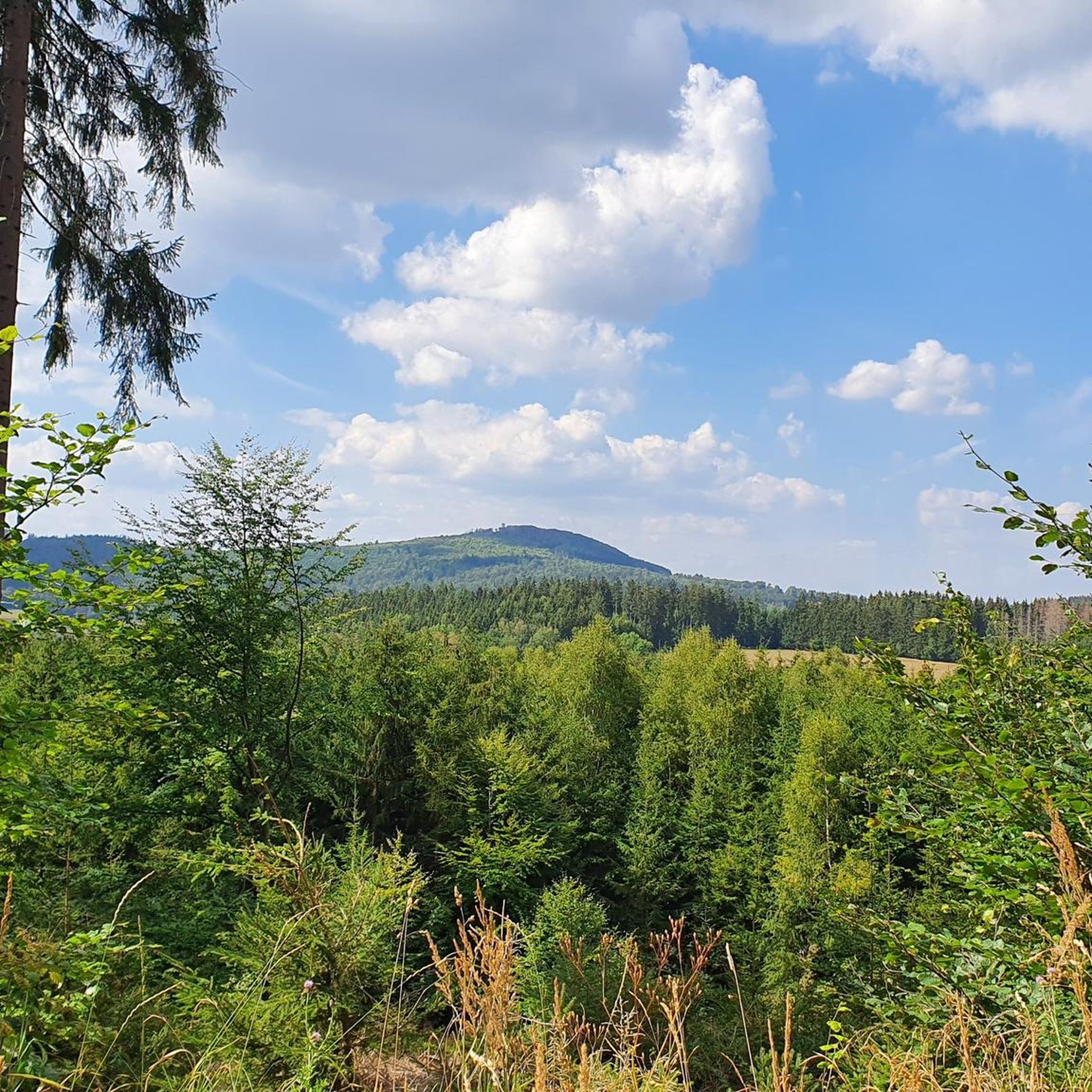
The Arnsberg is located northwest of the Kreuzberg in the Bavarian Rhön. It is a striking and widely visible mountain, 842 m high, which belongs to the natural region of the Hohe Rhön.
1
0

Wonderful cycle path with a perfect surface
0
0

Steep mountain with up to 20% in the forest (shady). Particularly steep in the lower and upper sections, somewhat unrhythmic
0
0

This is a great place to start your car tour. There's also plenty of parking for those arriving by car. 🚗🅿️ #CarTour #Parking #Car
0
0

The Kursaal building, dating from 1830, is one of the most important buildings in the state spa of Brückenau.
6
0

The Kinzig is a river approximately 86 kilometers long. It rises in Sterbfritz, flows southwest through the Main-Kinzig district of Hesse, and flows into the Main from the right in Hanau. The Kinzig is a second-order river in low mountain ranges. It overcomes an elevation of 301 meters and has a bed gradient of 3.5 per thousand. The Kinzig's catchment area covers 1,058 square kilometers, and the calculated mean discharge (MQ) at the mouth of the Kinzig is 10.97 cubic meters per second. The Kinzig was first documented in 796 as "iuxta fluvium Kincihen." In 815, the name was written as "Chinzicha," around 900 as "Kincicha"/"Kinzicham," in 1364 as "Kinzige," in 1584 as "Kintzig," in 1607 as "Bintz," in 1681 as "Kintz," in 1716 as "Kins," in 1769 as "Kinzing," and in 1802 as "Kinzig." In the river's headwaters, there was the now-defunct village of Kinzig, mentioned in 815 as "Chirizichheimero." The village and river were often confused by monastery scribes at that time with "Chizzicha" (now Bad Kissingen), both of which were described as being located in the Saalegau. The name presumably derives from the ancient Celtic *ku̯anti̯o- meaning "flat hill, valley." The name was therefore derived from the mountainous region from which the Kinzig flows. Source: Wikipedia
1
0

Great destination, but during the holidays when the weather is nice, it is very, very crowded on the Kreuzberg
0
0

The dance square is located between Rommerz and Giesel on the hilltop
0
0
Frequently Asked Questions
How many gravel bike trails are available in Mottener Forst-Süd?
Mottener Forst-Süd offers a good selection of gravel biking routes, with over 25 trails available for exploration. These routes cater to various skill levels, ranging from moderate to difficult.
What kind of terrain can I expect on the gravel bike trails in Mottener Forst-Süd?
The terrain in Mottener Forst-Süd is varied, featuring extensive cycling networks through native forests and offering open views across the Rhön Mountains. You'll encounter diverse topography with elevations reaching up to 633 meters, providing both challenging climbs and scenic descents.
Are there any family-friendly gravel bike routes in Mottener Forst-Süd?
While many routes in Mottener Forst-Süd are rated as difficult, there are some moderate options that might be suitable for families with older children or those seeking a less strenuous ride. For example, the View of Schwarzenfels Castle – Sinn Bridge Altengronau loop from Staatsbad Brückenau is a moderate 29.3 km trail that leads through scenic countryside.
What are some notable landmarks or viewpoints along the gravel bike trails?
The region is rich in natural features and attractions. You can find panoramic views from the Mottener Haube Observation Tower. Other points of interest include the Basalt Lake Tintenfass and the historic Bad Brückenau Spa Park with its beautiful gardens.
Are there any circular gravel bike routes in the area?
Yes, many of the gravel bike routes in Mottener Forst-Süd are designed as loops. An example of a challenging circular route is the View from the summit of Kreuzberg – Gemündener Hut loop from Riedenberg, which covers 34.7 km with significant elevation changes.
What do other gravel bikers say about the trails in Mottener Forst-Süd?
The gravel biking routes in Mottener Forst-Süd are highly regarded by the komoot community, boasting an average rating of 4.96 stars from over 20 reviews. Riders often praise the varied terrain, the extensive network of trails, and the stunning natural environment of the Rhön Biosphere Reserve.
Where can I find places to rest or refuel during my ride?
The area offers welcoming accommodations that can serve as excellent resting points. You can find places like the Rhön Mountain Lodge and the Würzburger Karl-Straub-Haus, which are ideal for taking a break and refueling.
What is the best time of year for gravel biking in Mottener Forst-Süd?
The Rhön Mountains, including Mottener Forst-Süd, are generally excellent for gravel riding throughout the warmer months. Spring and autumn offer pleasant temperatures and beautiful scenery, while summer provides longer daylight hours. Always check local weather conditions before heading out.
Are there any longer, more challenging gravel routes for experienced riders?
Absolutely. For experienced riders seeking a significant challenge, routes like the View of the Schmale Sinn – Sinn River loop from Oberzell offer a difficult 77.4 km path traversing varied terrain, including sections along the Sinn River.
Can I access the gravel trails using public transport?
While Mottener Forst-Süd is an uninhabited, forested area, the broader Rhön region has some public transport connections. For specific trailheads, it's advisable to research local bus services or train stations in nearby towns like Bad Brückenau or Oberzell and plan your route accordingly to reach the starting points.
Are there any specific trails that follow old railway lines?
Yes, the region features routes that incorporate former railway lines. For example, the Rhönexpress Rail Cycle Path – Rhönexpress Rail Trail loop from Volkers is a difficult 50.2 km route that utilizes sections of the historic Rhönexpress railway path, offering a unique riding experience.
What is the highest elevation I might reach on a gravel bike trail here?
The highest point within Mottener Forst-Süd itself reaches an elevation of 633 meters. Many gravel routes will take you through diverse topography, including climbs that lead to significant viewpoints and higher elevations within the Rhön Mountains.
Most popular attractions around Mottener Forst-Süd

Get inspired with the komoot mobile app


Explore more
Browse the best Gravel rides in other regions.
