The best gravel rides around Brea De Tajo
13
riders
7
rides
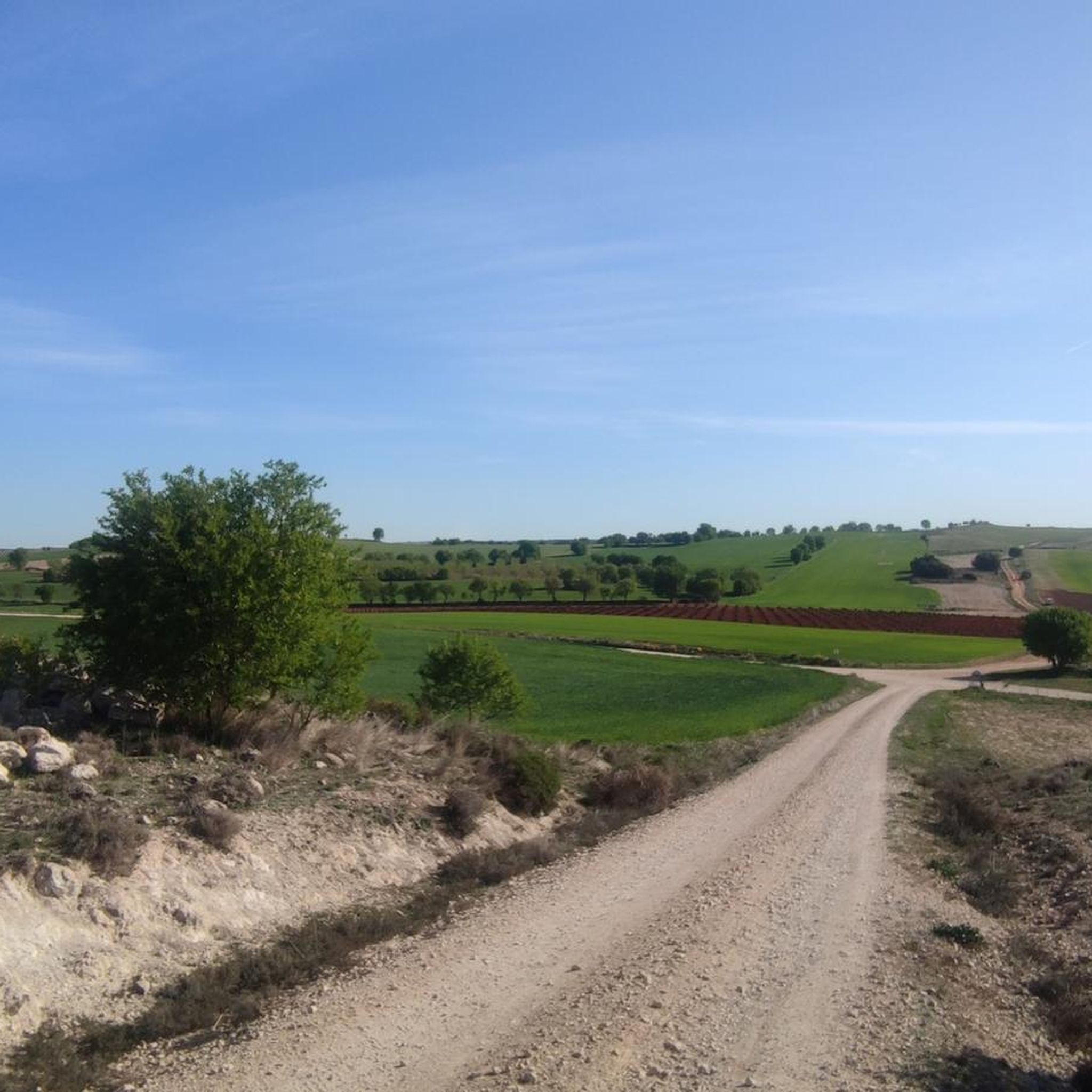
Gravel bike trails around Brea De Tajo traverse a diverse landscape influenced by the Tajo River and its tributaries, such as the Tajuña. The region features riverine environments, extensive agricultural plains with olive groves and cereal crops, and Mediterranean holm oak forests. Unique geological formations, including clay hills, whitish marls, and gypsum ravines, contribute to varied terrain. The area also incorporates former railway lines, now greenways, providing accessible routes for gravel biking.
Best gravel bike trails around Brea De Tajo
…Last updated: August 19, 2026
4
riders
Hard gravel ride. Very good fitness required. Mostly paved surfaces. Suitable for all skill levels.
1
riders
52.3km
04:34
560m
560m
Hard gravel ride. Very good fitness required. Mostly paved surfaces. Suitable for all skill levels.

Sign up for free
1
riders
26.2km
02:15
450m
450m
Hard gravel ride. Very good fitness required. Mostly paved surfaces. Suitable for all skill levels.
4
riders
56.9km
03:33
560m
560m
Hard gravel ride. Very good fitness required. Mostly paved surfaces. Suitable for all skill levels.
1
riders
50.6km
03:35
530m
530m
Hard gravel ride. Very good fitness required. Mostly paved surfaces. Suitable for all skill levels.
Get access to more routes and recommendations from other explorers.
Sign up for free
Already have an account?
Our route recommendations are based on thousands of hikes, rides, and runs completed by other people on komoot.
Start today with a free account
Your next adventure awaits.
Login or Signup
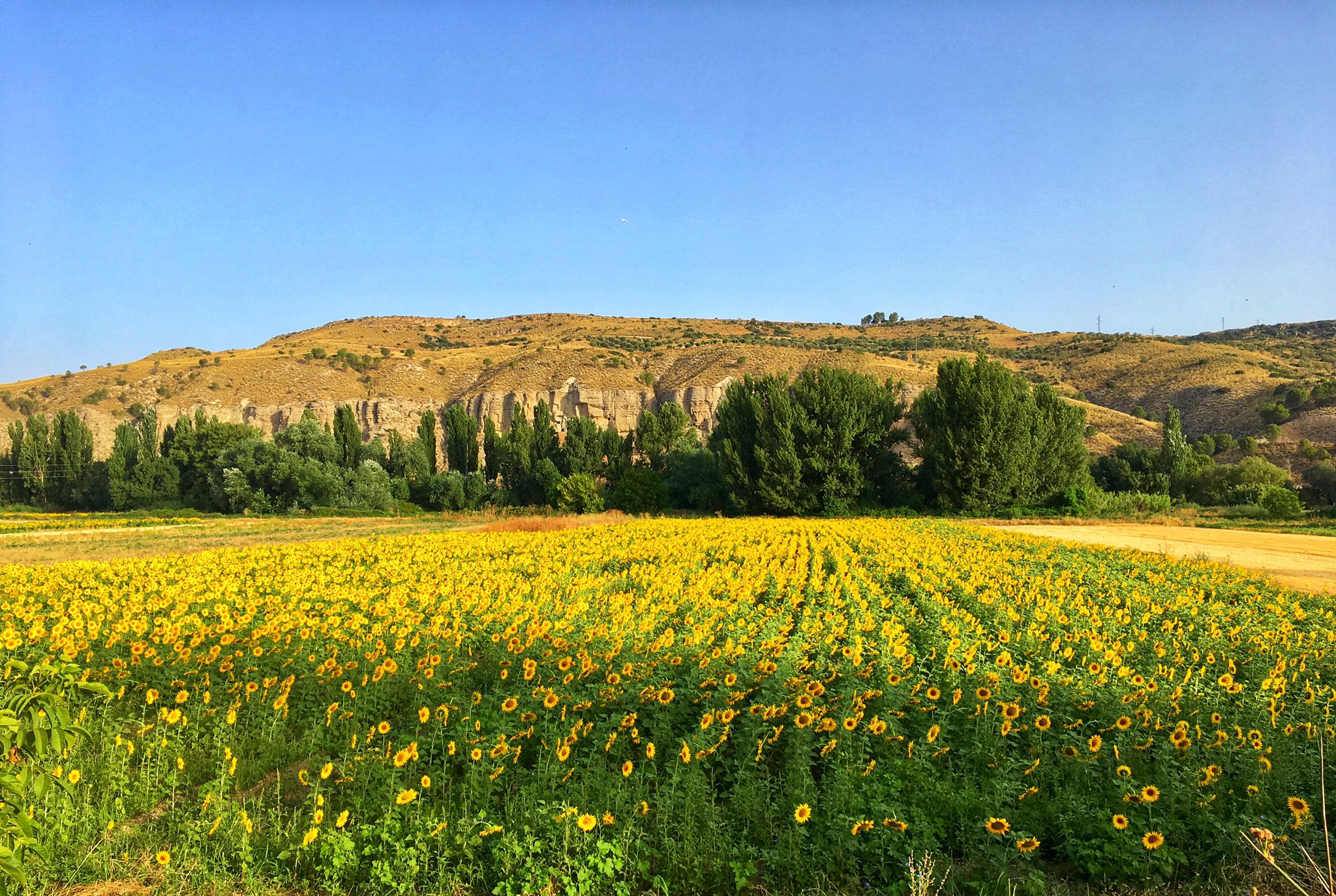
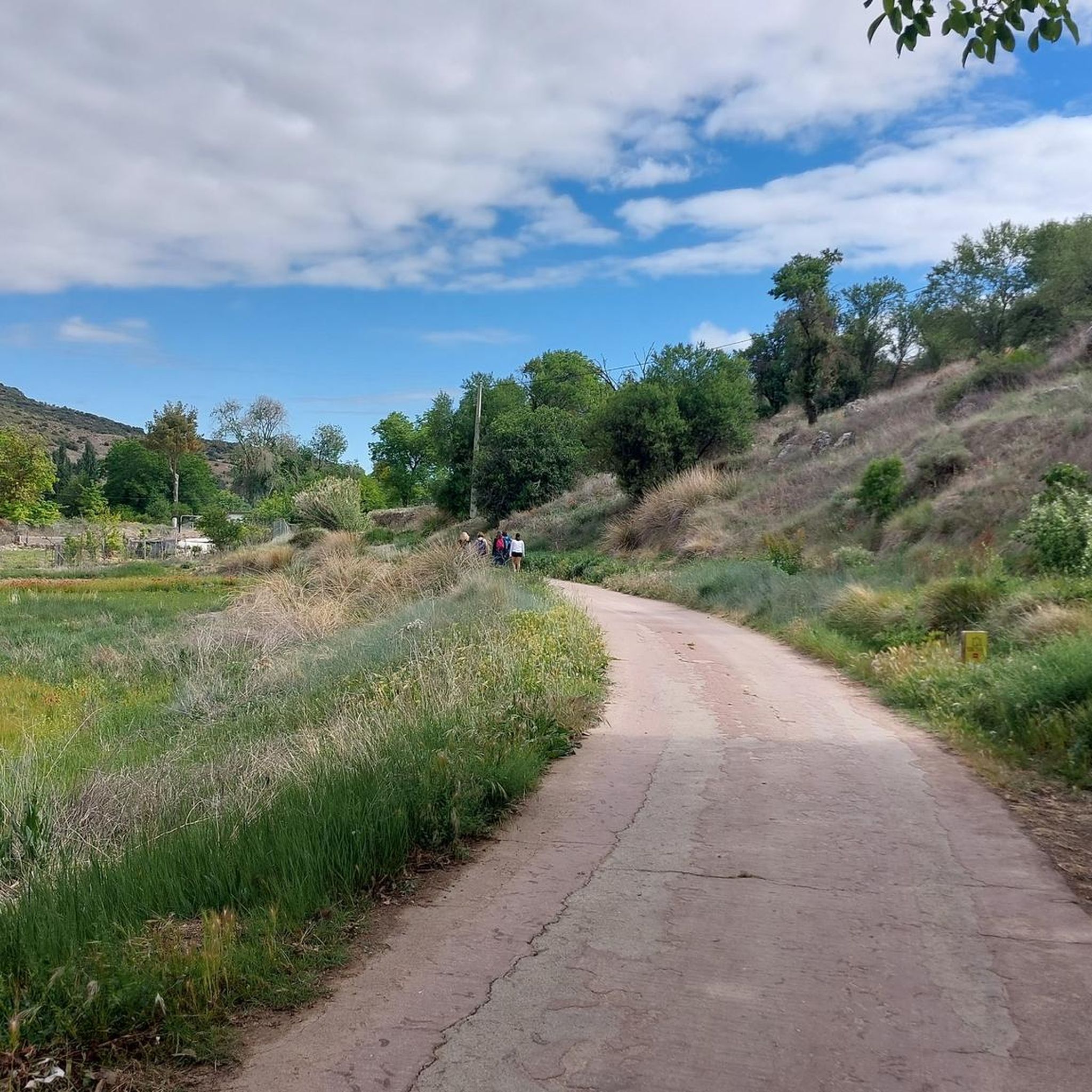
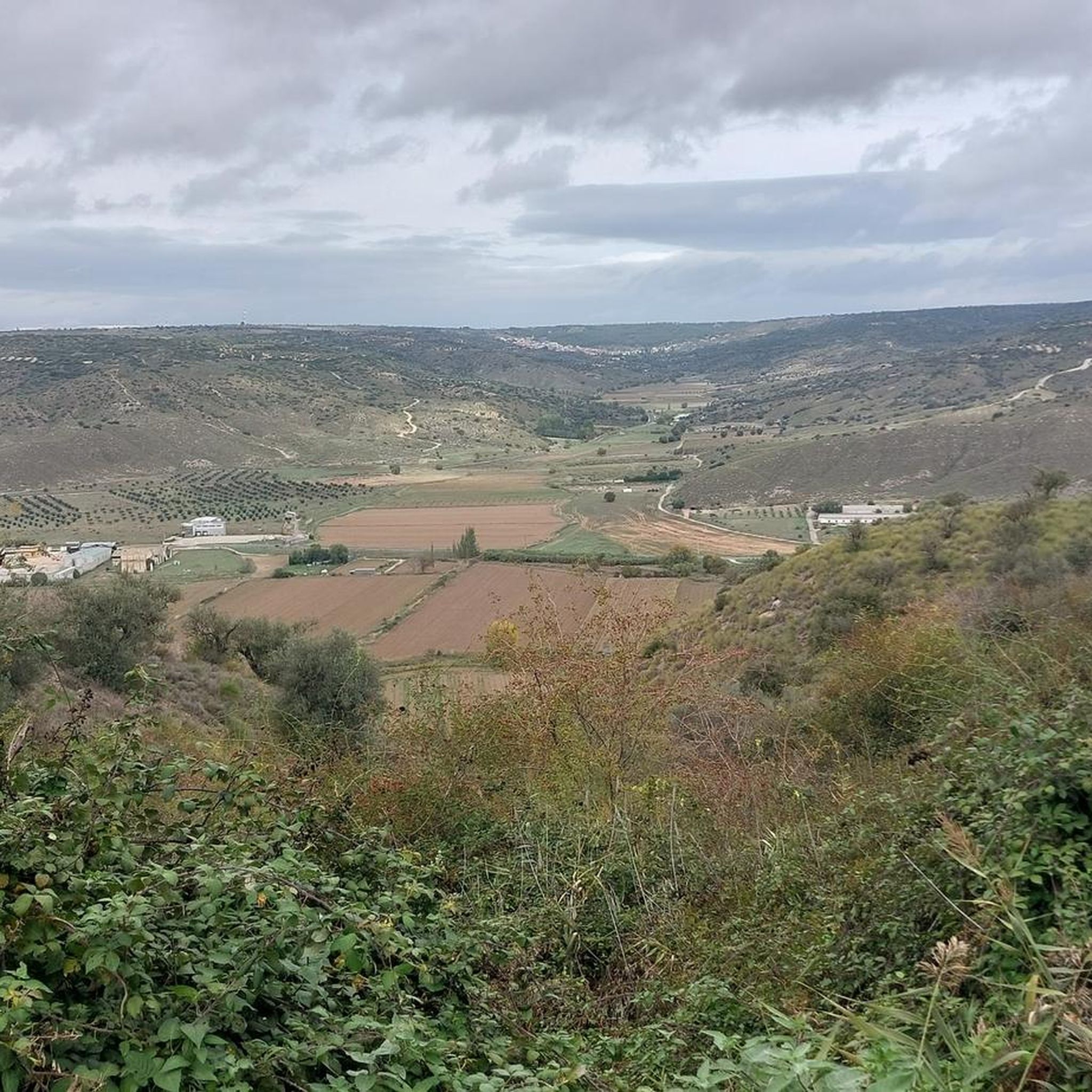
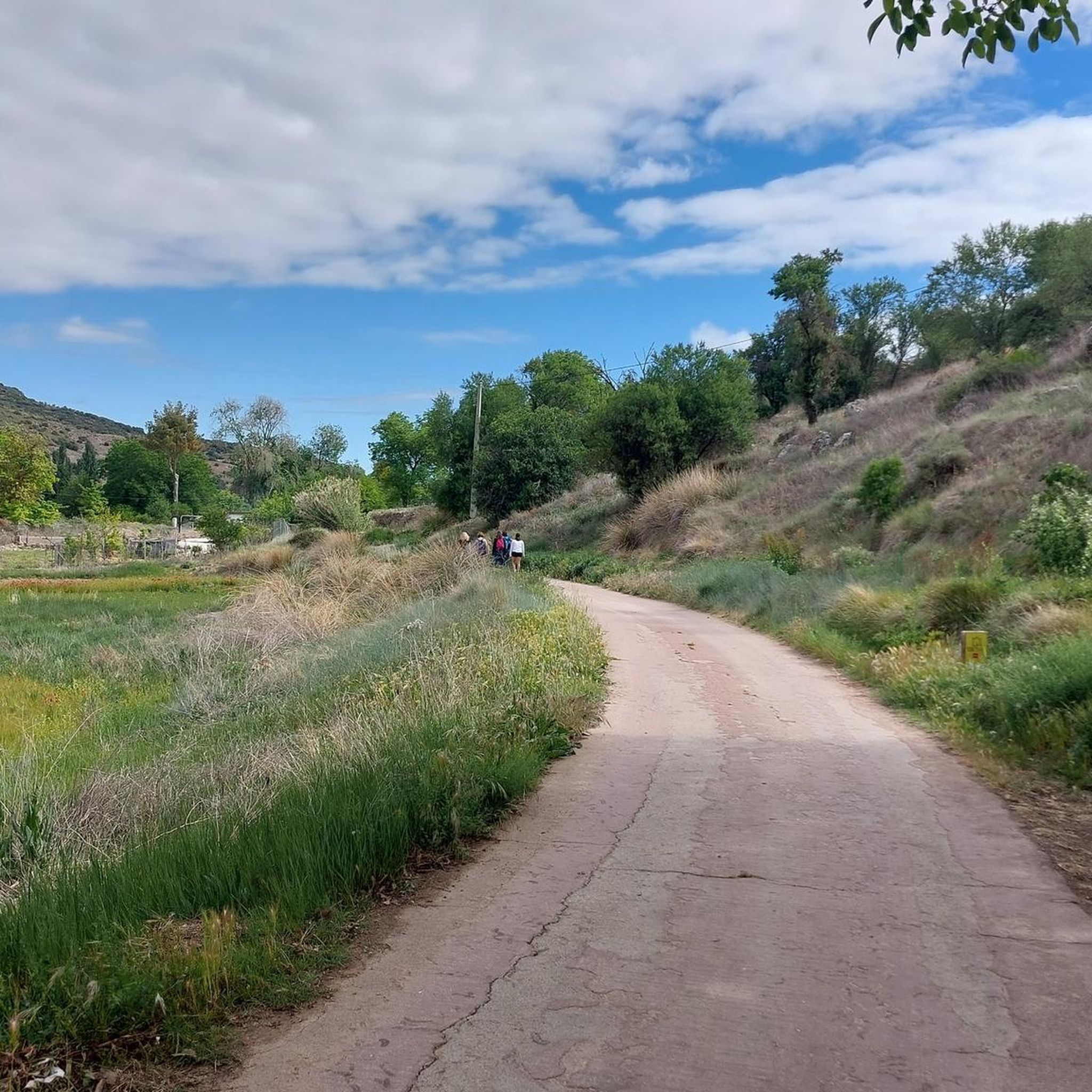

Other adventures around Brea De Tajo

Tips from the Community

The landscapes from Ambite to Mondejar are worth seeing.
0
0

Flat and accessible route that follows the old railway line between Arganda del Rey and Ambite, ideal for e-bikes, amidst fields, charming villages, and illuminated tunnels.
0
0

The paved section ends here.
0
0
Easy and comfortable route along this old railway line
0
0

Very compact cycle track
0
0
Halfway point for a snack
0
0

The section of the Tajuña Green Route in La Marañana de Carabaña runs along the old Vereda de Tielmes, now known as Camino de Vaciabotas. The Arganda railway ran along the opposite bank, where the Chávarri Central station is located. In the current section of the Green Route you can visit the historic Puente del Palo, of Roman origin, old mills and several dams and waterholes, one of them known as the Tajuña waterfall.
0
0
The white and blue signs of the Camino de Uclés are paired with the yellow arrows of the Camino de Santiago de Uclés, one of the variants of the Jacobean routes that leaves for Santiago de Compostela from the Monastery of Uclés, one of the heads (Caput Ordinis) of the Order of Santiago from the 13th century.
0
0
Frequently Asked Questions
How many gravel bike trails are available around Brea De Tajo?
There are currently 7 gravel biking routes available around Brea De Tajo on komoot. These routes offer diverse experiences across the region's unique landscapes.
What is the typical difficulty of gravel biking routes in Brea De Tajo?
Most of the gravel biking routes in Brea De Tajo are considered challenging, with 5 out of 7 routes rated as 'difficult' and 2 as 'moderate'. They often feature significant elevation changes, making them suitable for experienced riders looking for a good workout.
What kind of terrain can I expect on gravel bike trails near Brea De Tajo?
The terrain around Brea De Tajo is quite varied. You'll encounter riverine environments along the Tajo and Tajuña rivers, extensive agricultural fields including olive groves, and unique geological formations like clay hills, whitish marls, and gypsum ravines. Some routes also pass through Mediterranean holm oak forests.
Are there any circular gravel bike routes in the area?
Yes, many of the gravel routes around Brea De Tajo are designed as loops, allowing you to start and finish at the same point. For example, the Fountain of the Five Spouts – View of the Monastery of Uclés loop from Estremera and the Uclés Trail – Fuentidueña de Tajo loop from Cerro del Aire are excellent circular options.
When is the best time of year for gravel biking in Brea De Tajo?
Given the Mediterranean climate, spring and autumn are generally the best times for gravel biking in Brea De Tajo. The temperatures are milder, and the landscapes are vibrant. Summers can be very hot, while winters are typically mild but can have cooler, wetter days.
What natural landmarks can I see while gravel biking in Brea De Tajo?
The region offers several natural highlights. You might encounter the ancient Encina de la Pica, the refreshing Fuente del Arca, or the distinctive geological formations known as the Alcarrias of the Tajo: Gypsum, Marl, and Esparto. The Robledillo Spring is another notable natural monument.
Are there any historical or cultural sights along the gravel routes?
Yes, the area is rich in history. You can explore traditional rural architecture in towns like Brea de Tajo, which features the neoclassical parish church of Nuestra Señora de la Asunción and two 19th-century hermitages. The Picturesque bridge is also a notable sight. The Museo Oleico La Almazara, an old olive oil mill, offers insight into the region's heritage.
Are there any specific greenways or dedicated cycling paths for gravel biking?
Absolutely. The Tajuña Greenway is a significant feature, following the Tajuña River on a former railway line. You can also find the Junction of the Tajuña Greenway and the Tren de los 40 Días Greenway, which connects various towns and agricultural lands.
Are there any routes that offer views of the Tajo River or its valleys?
Many routes in the region are influenced by the Tajo River and its tributaries. While not directly within Brea de Tajo, the broader Tajo river basin is known for its canyons and gorges. Routes like the Tajuña Greenway – Uclés Trail loop from Ctra. M222 - Los Carrascales will take you through riverine landscapes.
What are some longer gravel biking options for experienced riders?
For experienced riders seeking longer distances, the Fountain of the Five Spouts – View of the Monastery of Uclés loop from Estremera covers nearly 94 km with over 900 meters of elevation gain. Another substantial option is the Tajuña Greenway – Uclés Trail loop from Ctra. M222 - Los Carrascales, which is about 57 km long.
Are there any shorter gravel routes suitable for a quicker ride?
If you're looking for a shorter gravel ride, the Picturesque bridge – View of Ambite loop from Ambite is a good option. It's approximately 26 km long with around 470 meters of elevation, offering a challenging but more condensed experience.
Most popular attractions around Brea De Tajo

Get inspired with the komoot mobile app


Explore more
Browse the best Gravel rides in other regions.
