The best traffic-free bike rides around Mooserboden
4.0
(3)
150
riders
3
rides
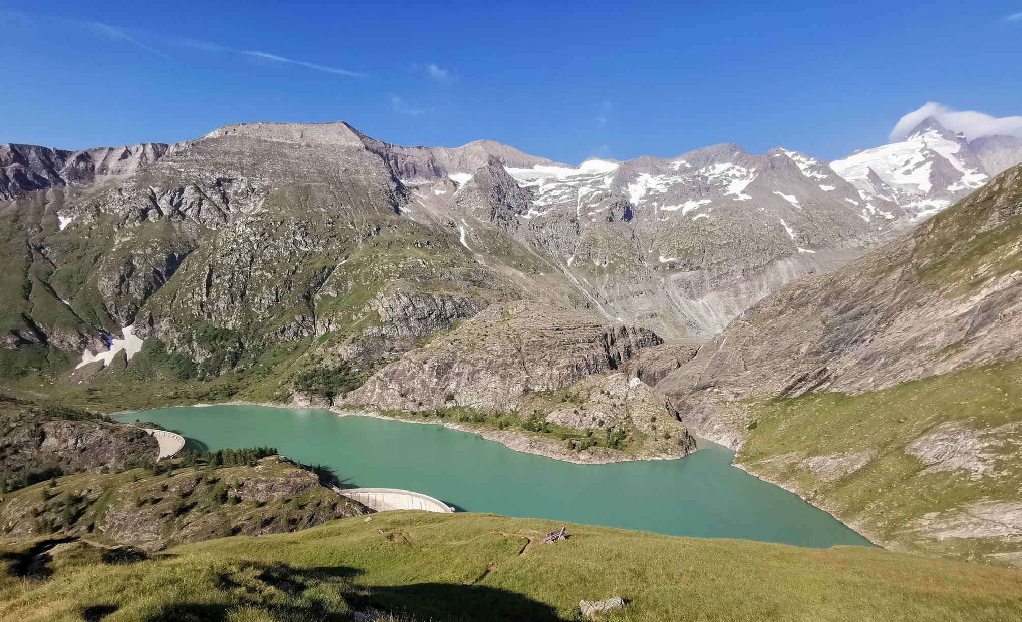
No traffic road cycling routes around Mooserboden are situated within Austria's Hohe Tauern National Park, offering a high-alpine environment for road cyclists. The region features towering 3,000-meter peaks, glaciers, and two artificial lakes, Mooserboden and Wasserfallboden reservoirs, known for their turquoise waters. While direct access to the reservoirs is restricted, the broader Kaprun region provides diverse terrain for road cycling, characterized by high-mountain scenery and massive dams.
Best no traffic road cycling routes around Mooserboden
- The most popular no traffic road cycling route is On the Tauern Cycle Path – Niedernsill bathing lake loop from Enzingerboden Weißseeseilbahn, a 30.4 miles (48.9 km) trail that takes about 2 hours 33 minutes to complete. This moderate route features an elevation gain of 2,576 feet (785 meters).
- Another top favourite among local road cyclists is Großes Wiesbachhorn – Ferleiten Wildlife Park loop from Ferleiten, a moderate 9.4 miles (15.2 km) path. This route offers 2,272 feet (692 meters) of ascent through high-mountain scenery.
- Local road cyclists also love the Schleier Waterfall – Großes Wiesbachhorn loop from Ferleiten, a 6.3 miles (10.2 km) trail leading through alpine landscapes, often completed in about 50 minutes. This moderate route includes an elevation gain of 1,538 feet (469 meters).
- Road cycling around Mooserboden is defined by high-mountain scenery, turquoise reservoirs, and massive dams. The network offers options for different ability levels, primarily featuring moderate routes.
- The routes in Mooserboden are highly rated by the komoot community with an average score of 4.0 stars from 3 reviews. More than 100 road cyclists have used komoot to explore Mooserboden's varied terrain.
Last updated: July 8, 2026
5.0
(2)
107
riders
Moderate road ride. Good fitness required. Some segments of this route may be unpaved and difficult to ride.
3.0
(1)
35
riders
15.2km
01:15
690m
690m
Moderate road ride. Good fitness required. Mostly well-paved surfaces and easy to ride.
Our route recommendations are based on thousands of hikes, rides, and runs completed by other people on komoot.
Start today with a free account
Your next adventure awaits.
Login or Signup
Popular around Mooserboden

Other adventures around Mooserboden

Tips from the Community


Nice little oasis to fill up your water bottles.
0
0

Great route with a real mountain feeling!
0
0

Mostly good to drive, rarely a "trip" on the country road
1
0

Death
0
0

Here, you'll cycle part of the Tauern Cycle Path, which runs along the Salzach and Inn rivers. Surrounded by the stunning mountain scenery, cycling practically takes its course.
1
0

With the glaciers simply gigantic
0
0
Seen from the GGHigh Alpine Road
0
0
Frequently Asked Questions
How many no-traffic road cycling routes are available around Mooserboden?
There are currently 3 dedicated no-traffic road cycling routes around Mooserboden, all offering a moderate challenge. These routes allow you to experience the stunning high-alpine scenery of the Hohe Tauern National Park without vehicle interference.
What kind of terrain and elevation can I expect on these routes?
The routes around Mooserboden are set in a high-alpine environment, meaning you can expect significant elevation gains. For example, the route "On the Tauern Cycle Path – Niedernsill bathing lake loop from Enzingerboden Weißseeseilbahn" features over 780 meters of ascent over nearly 49 kilometers. All listed routes are classified as moderate difficulty, requiring good fitness to tackle the climbs and enjoy the panoramic views.
What are some notable landmarks or natural features I can see along these cycling routes?
While direct access to the Mooserboden reservoirs is restricted, the broader Kaprun region offers breathtaking views and impressive sights. You can explore the engineering marvel of the Mooserboden Dam, visit the historical Heathen Church Memorial at Mooserboden, or enjoy panoramic vistas from the Höhenburg Summit (2,108 m). One route, "Schleier Waterfall – Großes Wiesbachhorn loop from Ferleiten", even passes by a beautiful waterfall.
What is the best time of year to go road cycling in Mooserboden?
Given Mooserboden's high-alpine location at over 2,000 meters, the best time for road cycling is typically during the warmer months, from late spring to early autumn. This period offers more stable weather conditions, less chance of snow, and access to higher elevations. Always check local weather forecasts before heading out, as mountain weather can change rapidly.
Are there any family-friendly no-traffic road cycling options?
The listed no-traffic road cycling routes around Mooserboden are all rated as moderate difficulty due to significant elevation changes. While not specifically designed as 'easy' family routes, experienced cycling families with good fitness levels may enjoy the challenge and the stunning scenery. For easier, more general cycling with children, the broader Kaprun region offers various paths, including segments of the Tauern Bike Trail.
Are there any loop routes available for no-traffic road cycling?
Yes, all three featured no-traffic road cycling routes around Mooserboden are designed as loops. This allows for convenient starting and ending points without needing to retrace your path. Examples include the "On the Tauern Cycle Path – Niedernsill bathing lake loop" and the "Großes Wiesbachhorn – Ferleiten Wildlife Park loop".
What do other road cyclists think about the routes in Mooserboden?
The no-traffic road cycling routes in the Mooserboden area are highly regarded by the komoot community, with an average rating of 4.0 stars. Cyclists often praise the challenging ascents, the quiet roads, and the unparalleled views of the Hohe Tauern mountains and reservoirs.
What should I wear for road cycling in this high-alpine region?
Due to the high-alpine environment, it's crucial to dress in layers. Even on sunny days, temperatures can be cooler at altitude, and weather can change quickly. We recommend moisture-wicking base layers, a cycling jersey, arm and leg warmers, a windproof and waterproof jacket, gloves, and a helmet. Don't forget sunglasses and sunscreen.
Is parking available for these routes, and how do I access the area?
While direct access to the Mooserboden reservoirs by private car or bicycle is restricted, requiring transfer buses and an inclined lift, parking is generally available in the broader Kaprun region, such as near Ferleiten or Enzingerboden, which serve as starting points for some routes. From these points, you can begin your no-traffic cycling adventure.
Are there any cafes or places to stop for refreshments along the routes?
The high-alpine nature of these specific no-traffic routes means amenities directly on the quietest sections might be limited. However, the broader Kaprun region, where these routes often start or pass through, offers various cafes, restaurants, and accommodation options. It's always a good idea to carry sufficient water and snacks, especially for longer rides in remote areas.
What is the typical duration for these no-traffic road cycling routes?
The duration varies depending on the route length and your pace. For instance, the "On the Tauern Cycle Path – Niedernsill bathing lake loop" is estimated to take around 2 hours and 30 minutes, while the shorter "Schleier Waterfall – Großes Wiesbachhorn loop" can be completed in about 1 hour and 40 minutes. These estimates are for cycling time and do not include stops for breaks or sightseeing.
Most popular routes around Mooserboden
Most popular attractions around Mooserboden

Get inspired with the komoot mobile app


Explore more
Browse the best Road cycling routes in other regions.
