The best traffic-free bike rides around Lac Des Bouillouses
4.3
(105)
7,871
riders
1
ride
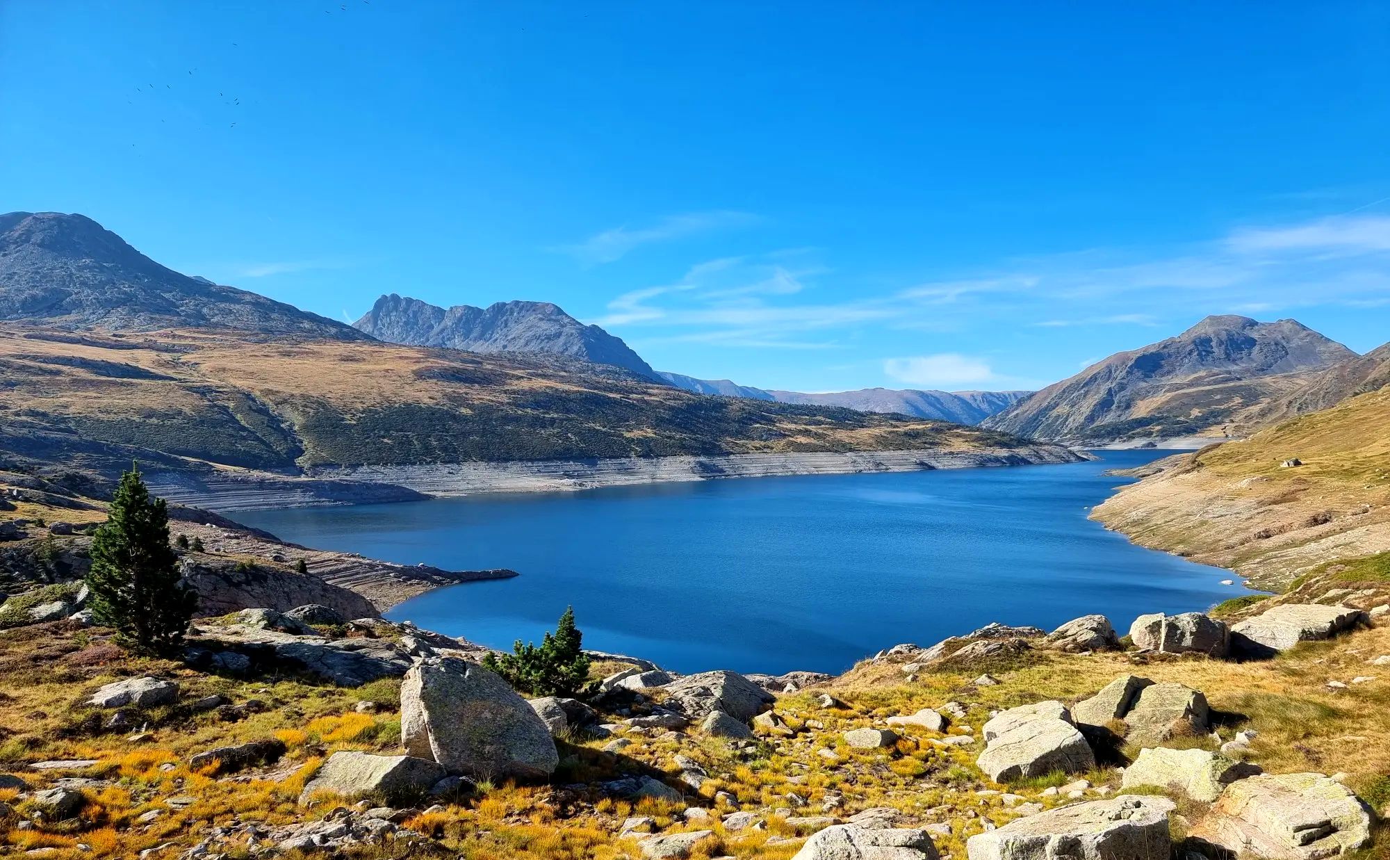
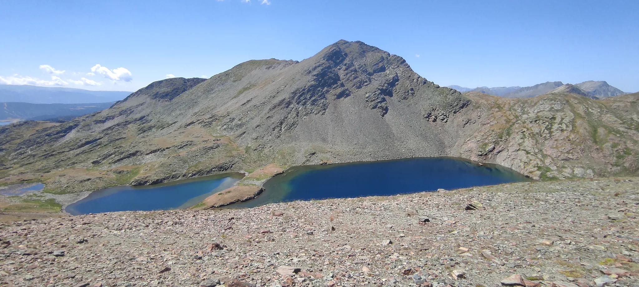
No traffic road cycling routes around Lac Des Bouillouses are situated in the Pyrénées-Orientales department of France, within a high mountain environment at approximately 2,000 meters altitude. The region is characterized by the impressive Carlit massif, the large Lac des Bouillouses, and numerous smaller lakes, offering a diverse landscape of rocky paths, open plains, forests, and pastures. This area provides a unique setting for road cycling, with routes that navigate through varied terrain and significant elevation changes. The natural beauty of this Natura 2000 site is preserved, making it ideal for car-free road cycling experiences.
Best no traffic road cycling routes around Lac Des Bouillouses
- The most popular no traffic road cycling route is View from Les Angles – Lake Balcère loop from Les Angles, a 4.9 miles (7.8 km) easy trail that takes about 30 minutes to complete. This route offers views of the surrounding high mountain landscape.
- Another top favourite among local road cyclists is Col de la Creu – Col de la Llose loop from Les Angles, a difficult 40.9 miles (65.9 km) path. This route features significant elevation gain through varied high mountain terrain.
- Local road cyclists also love the Col de la Creu – Lake Matemale loop from Matemale, a 14.1 miles (22.8 km) trail leading through high mountain scenery and forests, often completed in about 1 hour 30 minutes.
- Road cycling around Lac Des Bouillouses is defined by high mountain environments, extensive forests, and numerous lakes, with options for different ability levels.
- The routes in Lac Des Bouillouses are highly rated by the komoot community with an average score of 4.3 stars from over 50 reviews. More than 6,000 road cyclists have used komoot to explore Lac Des Bouillouses's varied terrain.
Last updated: August 29, 2026
4
riders
7.81km
00:27
170m
170m
Easy road ride. Great for any fitness level. Mostly well-paved surfaces and easy to ride.
7
riders
22.8km
01:29
650m
650m
Moderate road ride. Good fitness required. Some segments of this route may be unpaved and difficult to ride.

Sign up for free
5
riders
8.59km
00:24
80m
80m
Easy road ride. Great for any fitness level. Mostly well-paved surfaces and easy to ride.
Our route recommendations are based on thousands of hikes, rides, and runs completed by other people on komoot.
Start today with a free account
Your next adventure awaits.
Login or Signup


Other adventures around Lac Des Bouillouses

Tips from the Community


Small pass at the exit of Ayguatebia which leads back to the Col de Creu. Not cleared of snow from November to March.
0
0

Here you can get shadow, several cans (coke, Fanta, icetea) and different icecreams. Payment by PayPal possible. Washroom is also available
0
0
Go to the Mairie, there you have self service with several cans and ice, pay per cash or PayPal
0
0

Lake Matemale with its beautiful beaches is located at an altitude of 1500 metres and therefore the water is between 19 and 23°.
1
1


Frequently Asked Questions
What makes Lac des Bouillouses ideal for no-traffic road cycling?
The Lac des Bouillouses area, situated at approximately 2,000 meters altitude in the Pyrénées-Orientales, offers a unique high-mountain environment with stunning vistas. Its classification as a Natura 2000 site ensures preserved natural beauty, and during peak season, vehicle access to the immediate vicinity of the lake is regulated, creating excellent opportunities for peaceful, car-free road cycling.
Are there road cycling routes suitable for beginners or families looking for no-traffic options?
Yes, there are options for various fitness levels. For an easier, traffic-free ride, consider the View from Les Angles – Lake Balcère loop from Les Angles. This route is 7.8 km long with a manageable 167 meters of elevation gain, making it a great choice for those seeking a gentle introduction to the area's beauty without vehicle interference.
What kind of terrain can I expect on the no-traffic road cycling routes around Lac des Bouillouses?
You can expect a diverse mix of terrain, even on routes designed to minimize traffic. The region features high mountain scenery, extensive forests, open plains, and pastures. While many routes offer well-paved surfaces, the elevation means you'll encounter rewarding climbs and descents, providing varied and engaging rides through this rugged landscape.
What are some notable natural features or landmarks I can see while road cycling in the area?
The region is rich in natural beauty. You'll cycle through areas offering dramatic mountain vistas of the Carlit massif and past numerous crystal-clear lakes. The central attraction is Lac des Bouillouses itself, one of the largest lakes in the French Pyrenees, featuring an impressive dam on the River Têt. Other smaller lakes like Lake Calvet, Estany Negre, and Lake Pradeilles also add to the picturesque scenery.
What is the best time of year for no-traffic road cycling around Lac des Bouillouses?
The high-altitude environment means that the best time for road cycling is typically from late spring through early autumn. During these months, the weather is generally more favorable, and the roads are clear of snow. Always check local conditions before heading out, as mountain weather can change rapidly.
How can I access the Lac des Bouillouses area for cycling, especially with traffic restrictions?
During peak season, private vehicle access to the immediate vicinity of Lac des Bouillouses is regulated. However, shuttle services and chairlifts are available to transport visitors, including cyclists, to the starting points of many routes. This system helps maintain the area's tranquility and provides excellent opportunities for traffic-free cycling.
Are there any challenging no-traffic road cycling routes for experienced riders?
Absolutely. For experienced road cyclists seeking a significant challenge, the Col de la Creu – Col de la Llose loop from Les Angles is an excellent option. This difficult route spans 65.8 km and features a substantial 1,391 meters of elevation gain, offering a demanding ride through the stunning mountain landscape.
What do other road cyclists enjoy most about cycling in Lac des Bouillouses?
The area is highly rated by the komoot community, with an average score of 4.3 stars from 58 ratings. Reviewers often praise the breathtaking high-mountain scenery, the tranquility offered by the traffic-restricted roads, and the diverse cycling experiences, from challenging climbs to serene lakeside loops.
Can I find moderate no-traffic road cycling routes in the region?
Yes, for those looking for a balanced challenge, the Col de la Creu – Lake Matemale loop from Matemale is a moderate option. This route covers 22.7 km with 646 meters of elevation gain, providing a rewarding ride through varied landscapes without the intensity of the most difficult trails.
Are there any facilities like accommodation or places to eat near the no-traffic cycling routes?
While the immediate vicinity of Lac des Bouillouses is a protected natural site, you can find facilities in nearby villages and towns. There are options for cafes, restaurants, and accommodation in areas like Les Angles or Matemale, which often serve as starting points or access hubs for the cycling routes. For a unique stop near the lake, consider visiting the Carlit Inn.
What should I consider regarding elevation when planning a no-traffic road cycling trip here?
The Lac des Bouillouses region is situated at a high altitude (around 2,000 meters), so all routes will involve significant elevation changes. Even easier routes will have climbs, and more challenging ones can feature over 1,000 meters of ascent. Be prepared for sustained climbs and rewarding descents, and ensure your fitness level matches the chosen route's elevation profile.
Most popular routes around Lac Des Bouillouses

Get inspired with the komoot mobile app


Explore more
Browse the best Road cycling routes in other regions.
