The best walks and hikes around Lac Des Bouillouses
4.6
(2468)
26,045
hikers
386
hikes
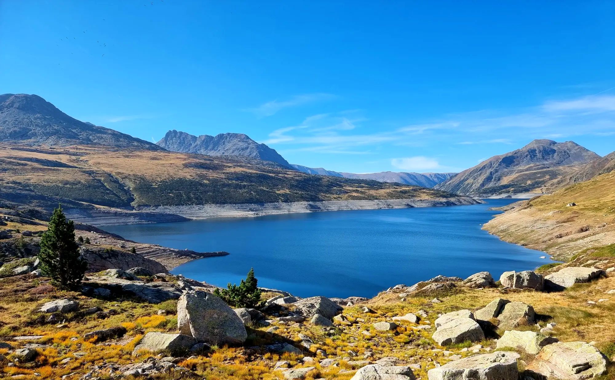
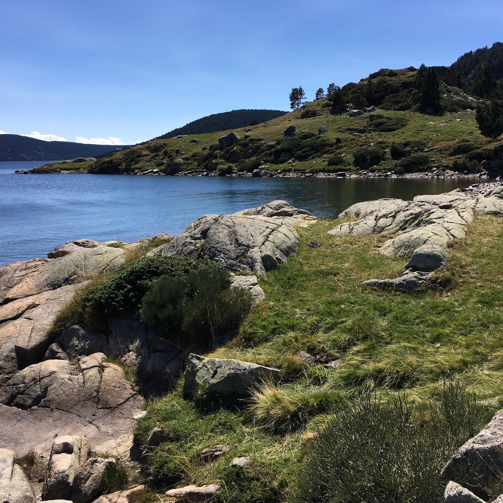
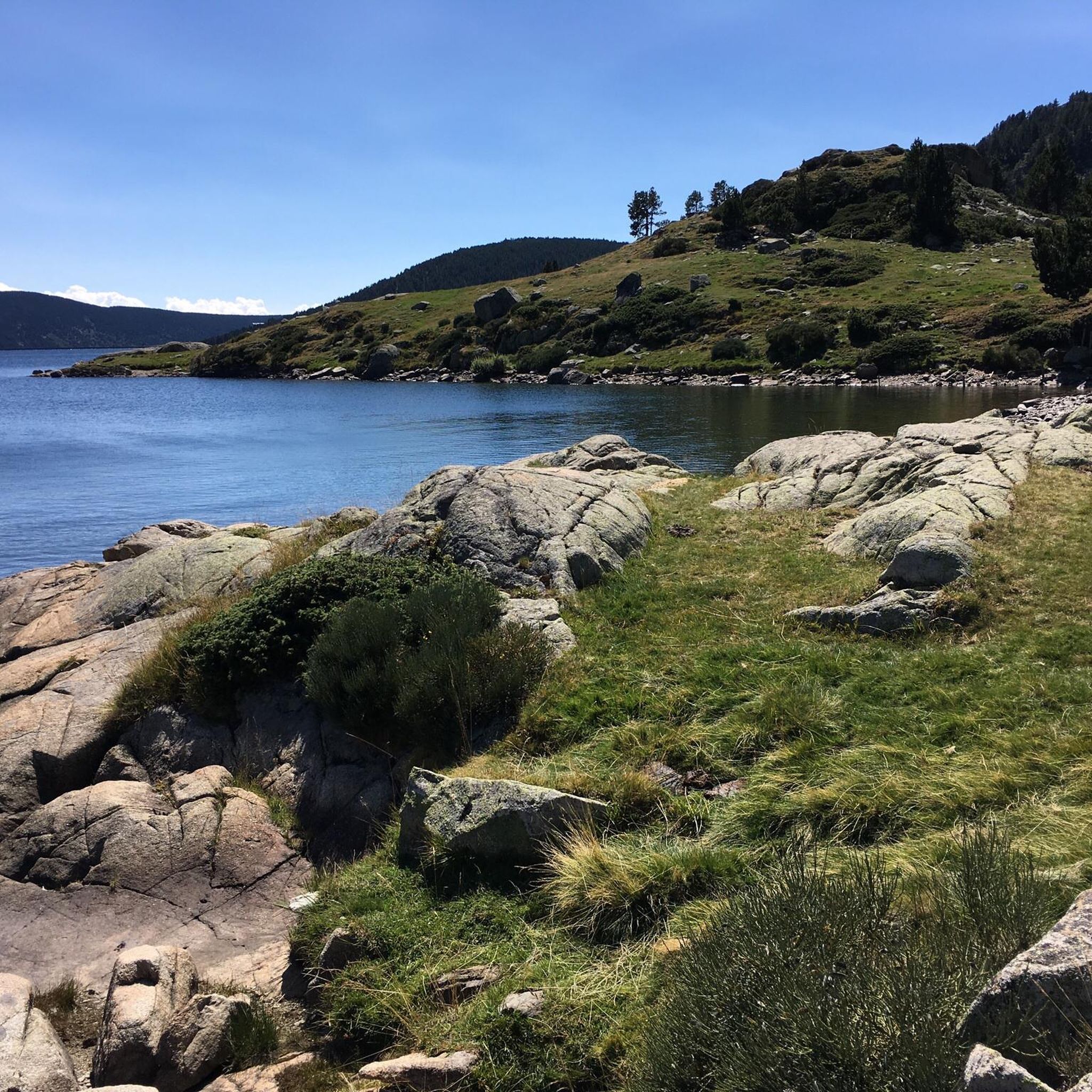
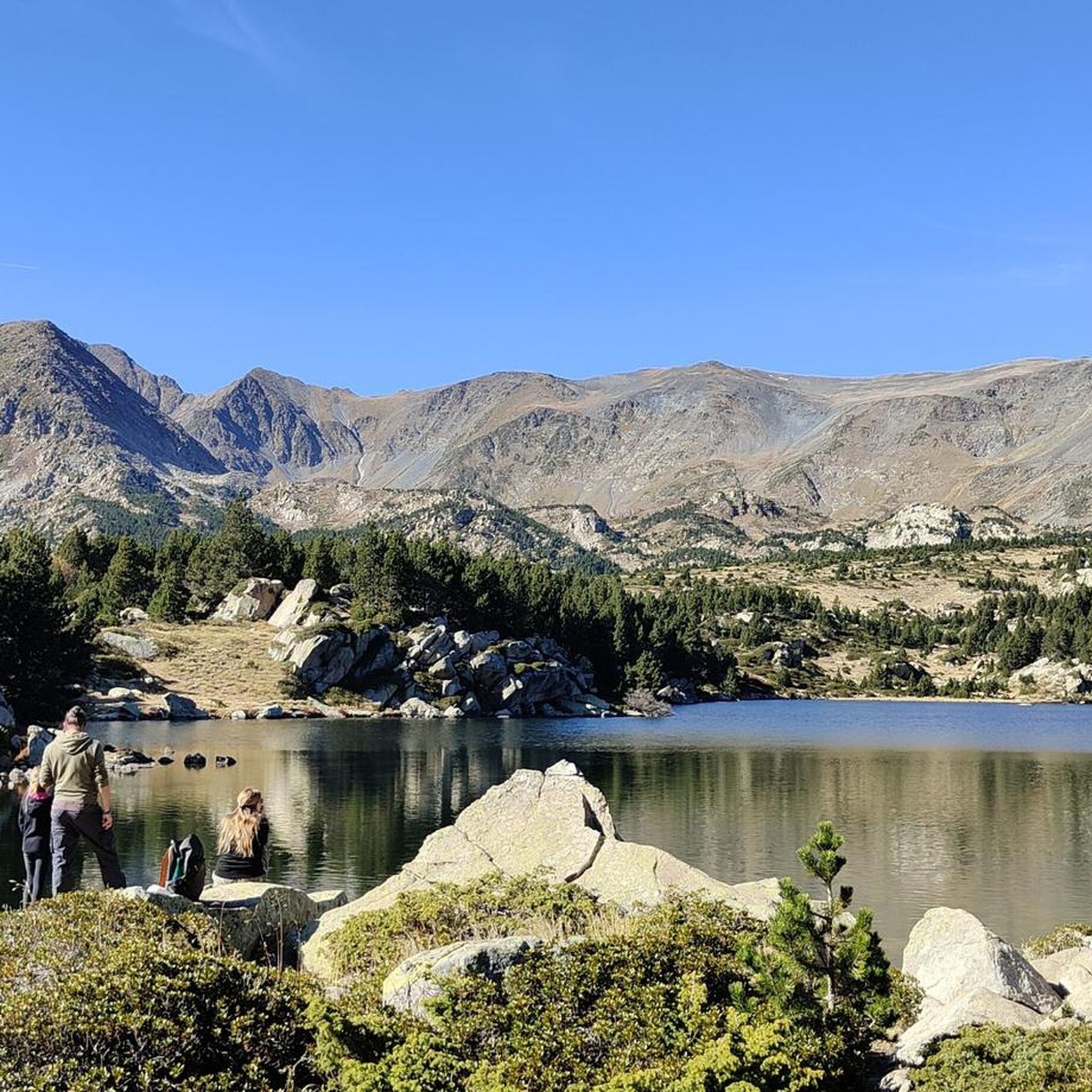
Hiking trails around Lac Des Bouillouses are set within the French Pyrenees, characterized by a rugged landscape of verdant meadows and majestic peaks. Located at an altitude of over 2,000 meters, the region features the large artificial Lac des Bouillouses, along with numerous smaller mountain lakes and ponds. This Natura 2000 area offers diverse terrain, from accessible paths around the lake to challenging ascents towards high summits.
Best hiking trails around Lac Des Bouillouses
- The most popular hiking route is Pic Carlit – hike starting from the parking lot of lac des Bouillouses – Parc naturel régional des Pyrénées Catalanes, an 8.9 miles (14.3 km) trail that takes 6 hours 31 minutes to complete. This difficult route ascends Pic Carlit, the highest point in the department, passing many small mountain lakes.
- Another top favourite among local hikers is Estany Negre (Black Lake) – Lake Vallell loop from Lac des Bouillouses, a moderate 7.3 miles (11.8 km) path. This loop offers stunning views of multiple mountain lakes and takes approximately 4 hours 7 minutes.
- Local hikers also love the Lake Aude – Lake Bouillousses loop from Lac des Bouillouses, a 7.1 miles (11.5 km) trail leading through a landscape dotted with mountain lakes, often completed in about 3 hours 54 minutes.
- Hiking around Lac Des Bouillouses is defined by high-altitude lakes, rugged peaks, and alpine meadows. The extensive network of trails offers options for various ability levels, from easy strolls to strenuous climbs.
- The routes in Lac Des Bouillouses are highly rated by the komoot community with an average score of 4.6 stars from over 2,000 reviews. More than 22,000 hikers have used komoot to explore Lac Des Bouillouses's varied terrain.
Last updated: August 27, 2026
4.8
(182)
2,346
hikers
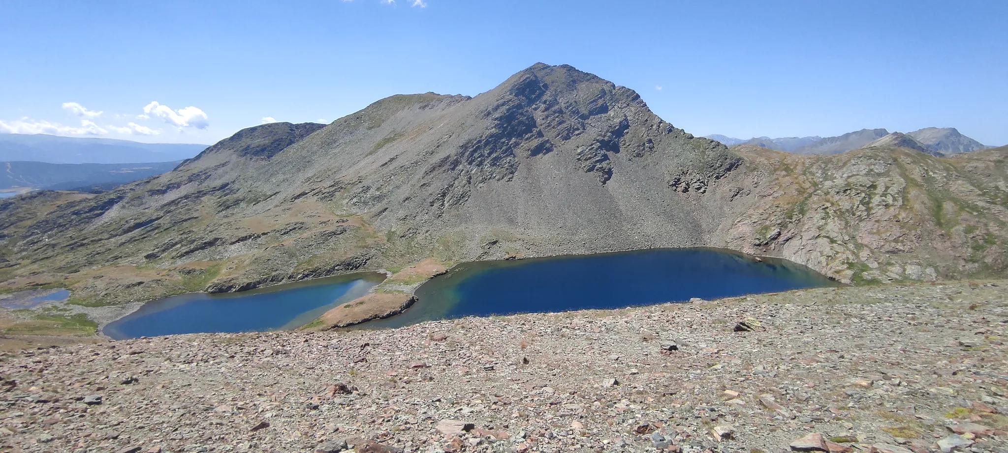
The ascent to Pic Carlit from Lac des Bouillouses is one of the most iconic routes in the Catalan Pyrenees, offering a complete immersion in a landscape of stunning alpine beauty. The trail leads you through forests and meadows, winding alongside numerous glacial lakes, such as Estany de Vallell and Viver Lake, before tackling the more rocky and technical section towards the summit. It's an experience that combines the serenity of the lakes with the thrill of a challenging peak.
This hiking route is considered difficult, with a distance of 14.3 kilometers and an elevation gain of 868 meters, translating to approximately 6 hours and 31 minutes of effort. It is essential to have good physical fitness and be sure-footed on uneven terrain, especially in the final meters of the ascent where scrambling is required. During the summer months, access to Lac des Bouillouses is regulated, so you will need to use shuttle buses to reach the trailhead.
Pic Carlit, at 2,921 meters, is the highest point in the Eastern Pyrenees and offers 360-degree panoramic views stretching from Canigó to Puigmal. The area is renowned for its biodiversity and the chance to spot wildlife such as marmots and chamois. The abundance of lakes, often referred to as the "12 lakes of Carlit," adds a special charm to this popular route in the Parc naturel régional des Pyrénées Catalanes.
4.6
(68)
537
hikers
7.19km
02:08
120m
120m
This challenging 4.5-mile loop near Lake Bouillouses offers stunning mountain lakes and requires good fitness and alpine experience.

Sign up for free
4.8
(205)
1,722
hikers
11.8km
04:08
380m
380m
Moderate hike. Good fitness required. Mostly accessible paths. Sure-footedness required.
4.8
(98)
1,105
hikers
11.8km
04:20
400m
400m
Moderate hike. Good fitness required. Mostly accessible paths. Sure-footedness required.
3.8
(4)
72
hikers
6.10km
01:41
100m
90m
Moderate hike. Great for any fitness level. Mostly accessible paths. Sure-footedness required.
Get access to more routes and recommendations from other explorers.
Sign up for free
Already have an account?
Our route recommendations are based on thousands of hikes, rides, and runs completed by other people on komoot.
Start today with a free account
Your next adventure awaits.
Login or Signup
Popular around Lac Des Bouillouses
Tour des Pérics – Carlit and Grand Péric variants
Loop of the Carlit – Tour of the massif along the lakes
MTB Trails around Lac Des Bouillouses
Cycling around Lac Des Bouillouses
Road Cycling Routes around Lac Des Bouillouses
Running Trails around Lac Des Bouillouses

Gravel biking around Lac Des Bouillouses
Mountain Hikes around Lac Des Bouillouses
Other adventures around Lac Des Bouillouses

Tips from the Community

More "high mountain" atmosphere than the other lakes in Carlit
0
0

A superb lake reflecting the neighboring peaks. The morning light amplifies this mirror effect.
1
0


At an altitude of 2,330 metres, this lake is located in a dreamlike mountain environment. From there you can see the Carlit peak, the highest point of the massif.
0
0

Nestled in a glacial basin, this small lake often lies dry in summer, revealing an impressive mineral setting, surrounded by meadows and imposing peaks. The trails leading to the lake offer magnificent views of the surrounding mountains and allow you to enjoy the tranquility of this timeless place.
1
0
Frequently Asked Questions
How many hiking trails are available around Lac Des Bouillouses?
There are over 370 hiking trails around Lac Des Bouillouses, offering a wide range of experiences from easy strolls to challenging ascents. The region is known for its diverse terrain, including high-altitude lakes, rugged peaks, and alpine meadows.
What are the difficulty levels of hikes around Lac Des Bouillouses?
The trails around Lac Des Bouillouses cater to all fitness levels. You'll find approximately 124 easy routes, 182 moderate trails, and 65 difficult hikes, ensuring options for beginners and experienced mountaineers alike.
Are there any circular hiking routes around Lac Des Bouillouses?
Yes, the area is rich in scenic loop trails. For a moderate experience, consider the Estany Negre (Black Lake) – Lake Vallell loop, which offers stunning views of multiple mountain lakes. Another popular option is the Lake Aude – Lake Bouillousses loop, leading through a landscape dotted with high-altitude lakes.
What natural features or landmarks can I see while hiking in the area?
The region is renowned for its stunning natural beauty. Beyond the main Lake Bouillouses itself, you'll encounter numerous smaller mountain lakes and ponds, such as the Esquits Ponds, Estany Negre (Black Lake), and Lake Aude. The landscape is characterized by verdant meadows and majestic peaks like Carlit, Puigmal, and Peric. Keep an eye out for local wildlife, including marmots, eagles, and free-roaming horses and cows.
Are there family-friendly hiking options around Lac Des Bouillouses?
Yes, there are many accessible paths suitable for families. While specific 'easy' routes are numerous (around 124), the region offers shorter, less strenuous loops around the main lake and smaller ponds, perfect for a leisurely outing with children. These trails often feature gentle gradients and beautiful scenery.
Can I bring my dog on the hiking trails?
Generally, dogs are welcome on many trails around Lac Des Bouillouses, especially if kept on a leash. However, as the area is a Natura 2000 site with rich biodiversity and free-roaming animals, it's always best to check specific trail regulations or local signage for any restrictions, particularly in protected zones or during certain seasons to protect wildlife.
What is the best time of year to hike around Lac Des Bouillouses?
The best time to hike is typically from late spring to early autumn (June to September) when the weather is mild, and trails are clear of snow. During summer, the meadows are verdant, and alpine flowers are in bloom. Winter hiking is possible but requires appropriate gear and experience due to snow and colder conditions.
How do other hikers rate the trails in Lac Des Bouillouses?
The trails in Lac Des Bouillouses are highly rated by the komoot community, with an average score of 4.6 stars from over 2,000 reviews. Hikers often praise the stunning views of the mountain lakes, the diverse terrain, and the well-maintained paths that cater to various skill levels.
What are the parking and public transport options for accessing Lac Des Bouillouses?
During summer months, car access directly to Lac Des Bouillouses is restricted to preserve the environment. Visitors can typically reach the lake via a shuttle bus service from Pla de Barrès. Alternatively, you can use chairlifts from Font-Romeu, followed by a short walk. Parking is available at the shuttle departure points.
Are there any accommodations or places to eat near Lac Des Bouillouses?
Yes, for those looking to extend their stay, accommodations such as the Hôtel des Bones Hores and Auberge du Carlit are available near the lake. There are also refuges for hikers, providing basic amenities and a place to rest after a long day on the trails. These spots often offer meals and refreshments.
What is the highest point I can reach on a hike in this region?
The highest point you can reach on a hike in the department is Pic Carlit. The challenging Pic Carlit hike starts from the Lac des Bouillouses parking lot and ascends this majestic peak, often passing many small mountain lakes along the way.
Is the Lac des Bouillouses area protected?
Yes, the Lac des Bouillouses area is classified as a Natura 2000 site. This designation highlights its rich biodiversity and the importance of preserving its natural habitats and species. This protection contributes to the pristine condition of the landscape and its wildlife.
Most popular routes around Lac Des Bouillouses

Get inspired with the komoot mobile app


Explore more
Browse the best Hikes in other regions.
