The best mountain hikes around Lac Des Bouillouses
4.9
(8)
47
hikers
10
hikes
Mountaineering around Lac Des Bouillouses is characterized by its high-altitude setting at approximately 2,000 meters (6,617 feet), offering access to the rugged Carlit massif and numerous mountain lakes. The region features diverse landscapes, including dense forests and open alpine terrain, with Pic Carlit reaching 2,921 meters as a prominent landmark. This area, classified as a Natura 2000 site, provides a range of challenging ascents and scenic lake loops.
Best mountaineering routes around Lac Des Bouillouses
- The most popular mountaineering route…
Last updated: July 4, 2026
5.0
(2)
9
hikers
8.03km
02:54
260m
260m
Moderate mountaineering route. Good fitness required. Mostly accessible paths. Sure-footedness required.
5.0
(1)
2
hikers
11.0km
03:42
330m
330m
Moderate mountaineering route. Good fitness required. Mostly accessible paths. Sure-footedness required.

Sign up for free
2
hikers
14.2km
04:45
420m
420m
Moderate mountaineering route. Good fitness required. Mostly accessible paths. Sure-footedness required.
5
hikers
11.1km
03:31
370m
370m
Hard mountaineering route. Good fitness required. Sure-footedness, sturdy shoes and alpine experience required.
5.0
(2)
4
hikers
16.8km
05:37
550m
550m
Hard mountaineering route. Very good fitness required. Mostly accessible paths. Sure-footedness required.
Get access to more routes and recommendations from other explorers.
Sign up for free
Already have an account?
Our route recommendations are based on thousands of hikes, rides, and runs completed by other people on komoot.
Start today with a free account
Your next adventure awaits.
Login or Signup
Popular around Lac Des Bouillouses
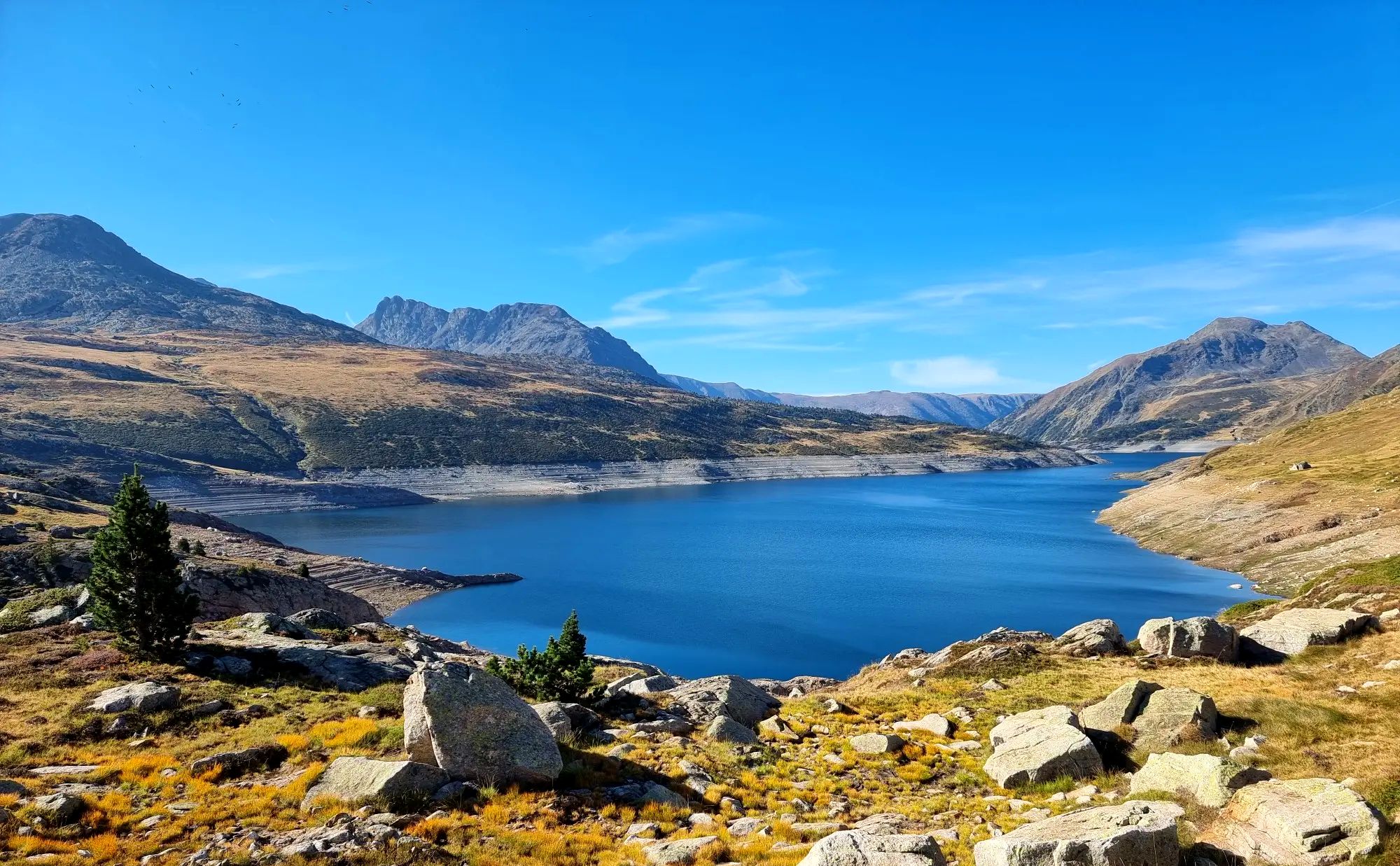
Tour des Pérics – Carlit and Grand Péric variants
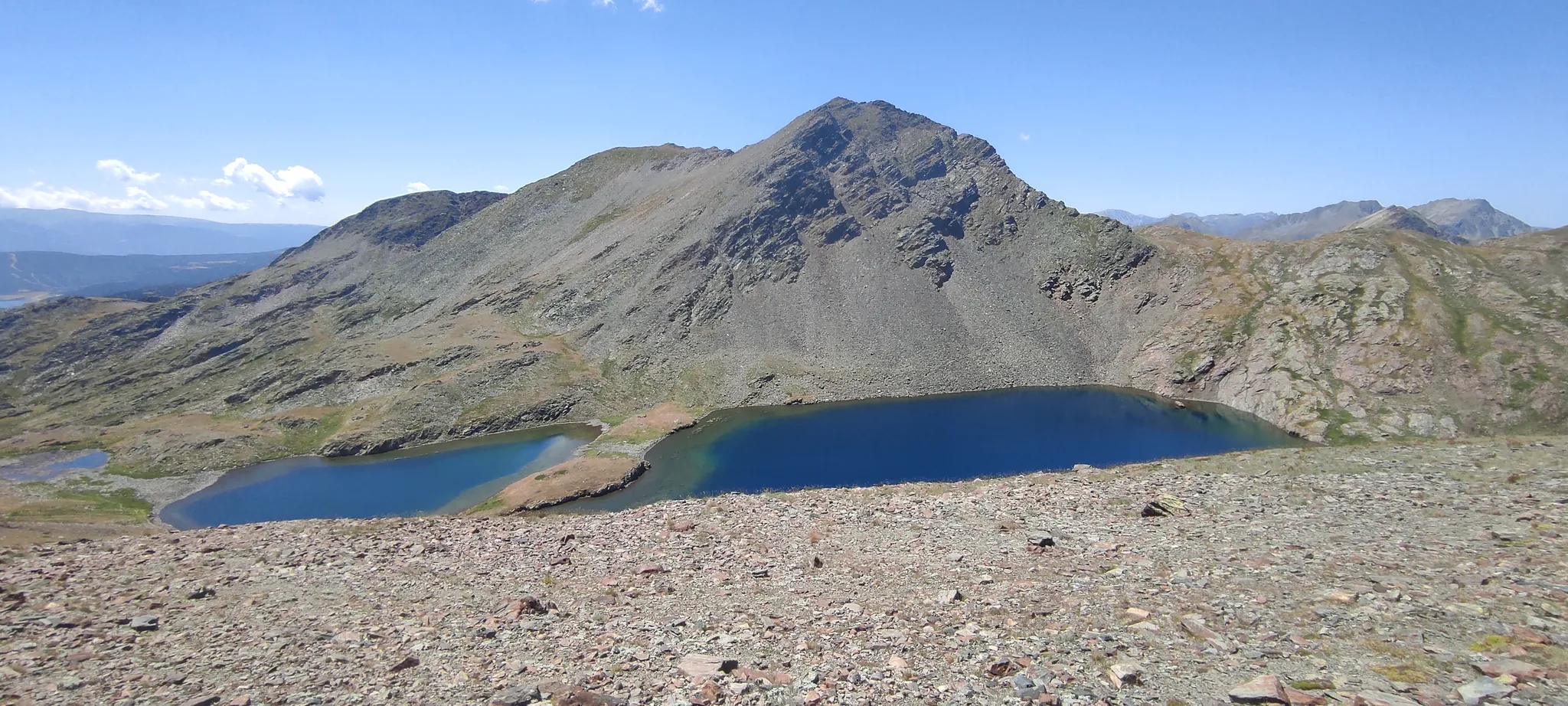
Loop of the Carlit – Tour of the massif along the lakes
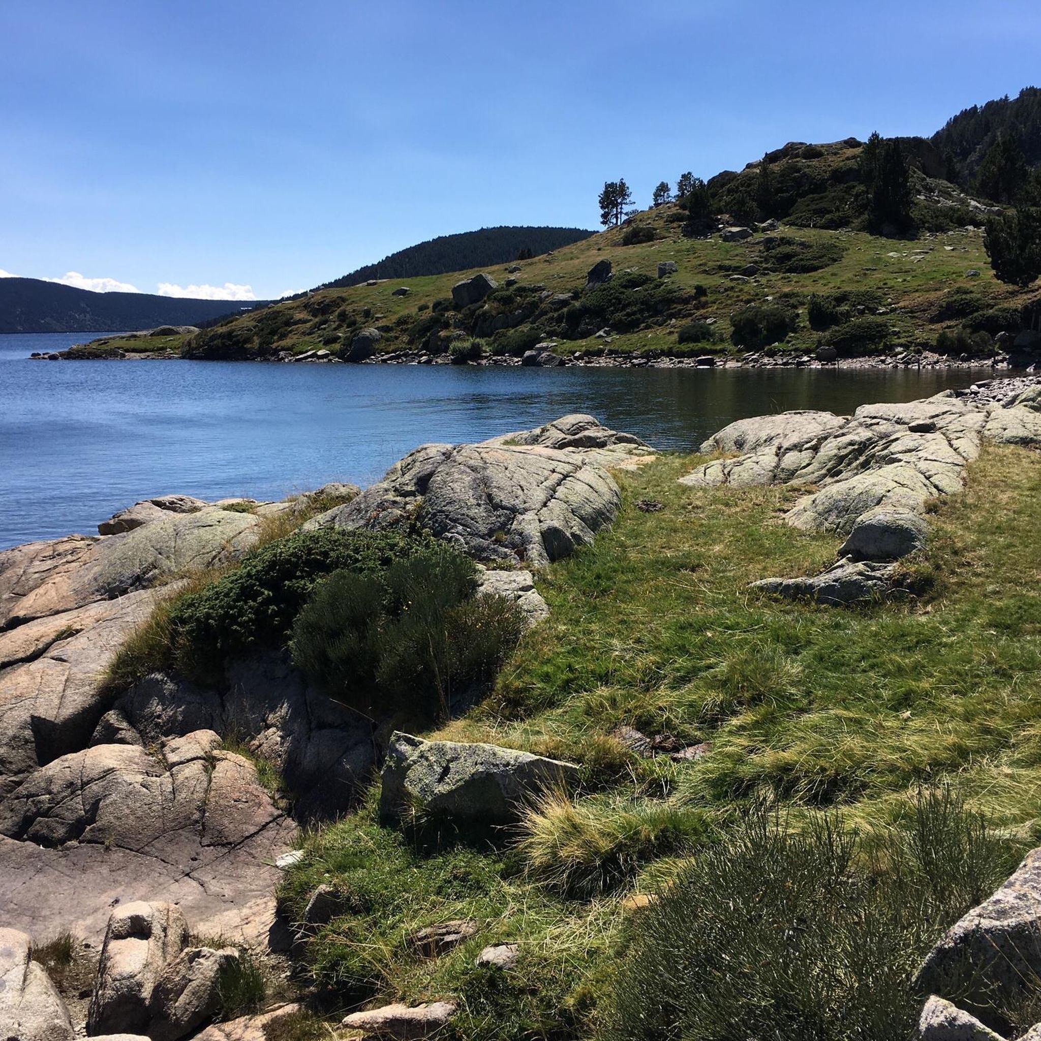
Hiking around Lac Des Bouillouses
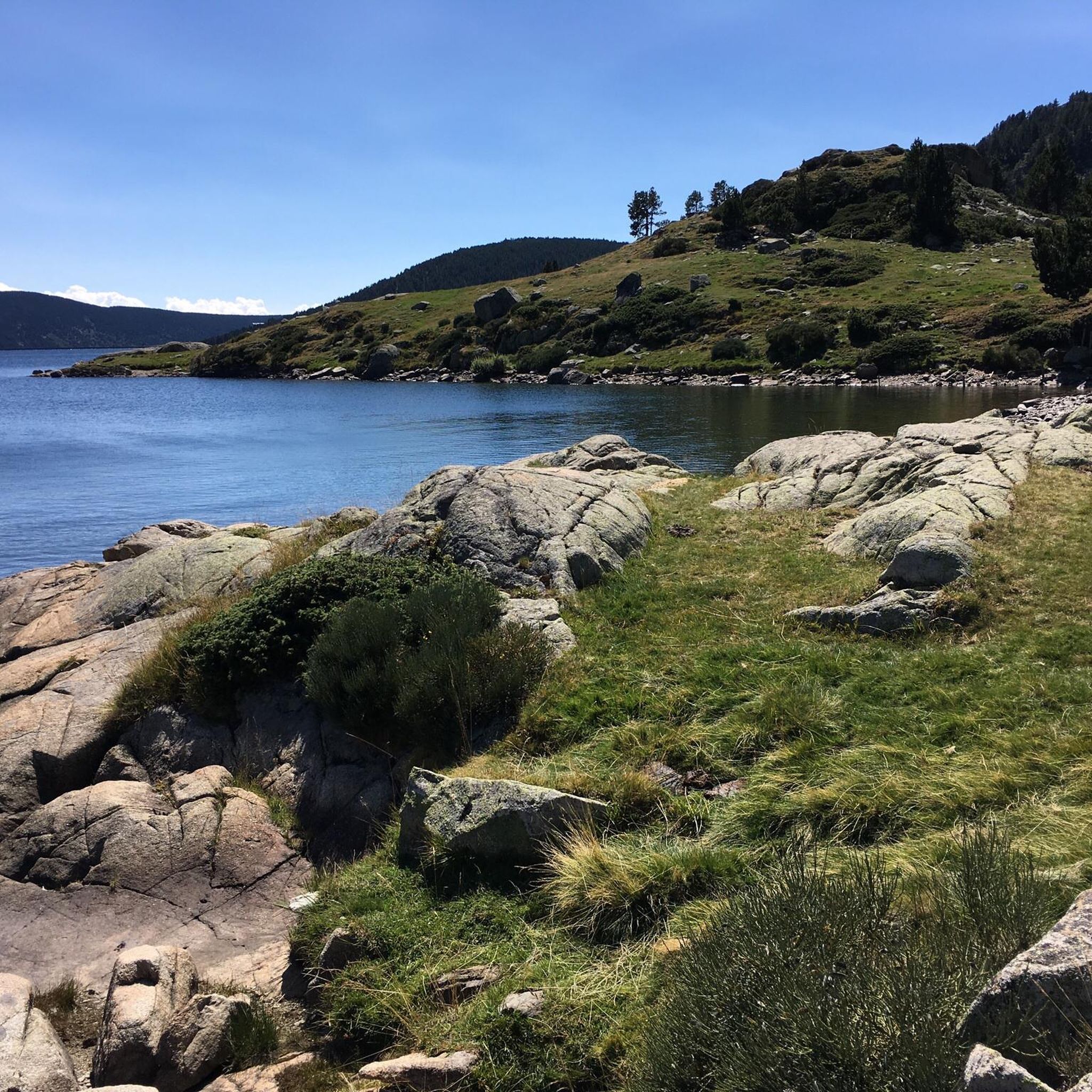
Cycling around Lac Des Bouillouses
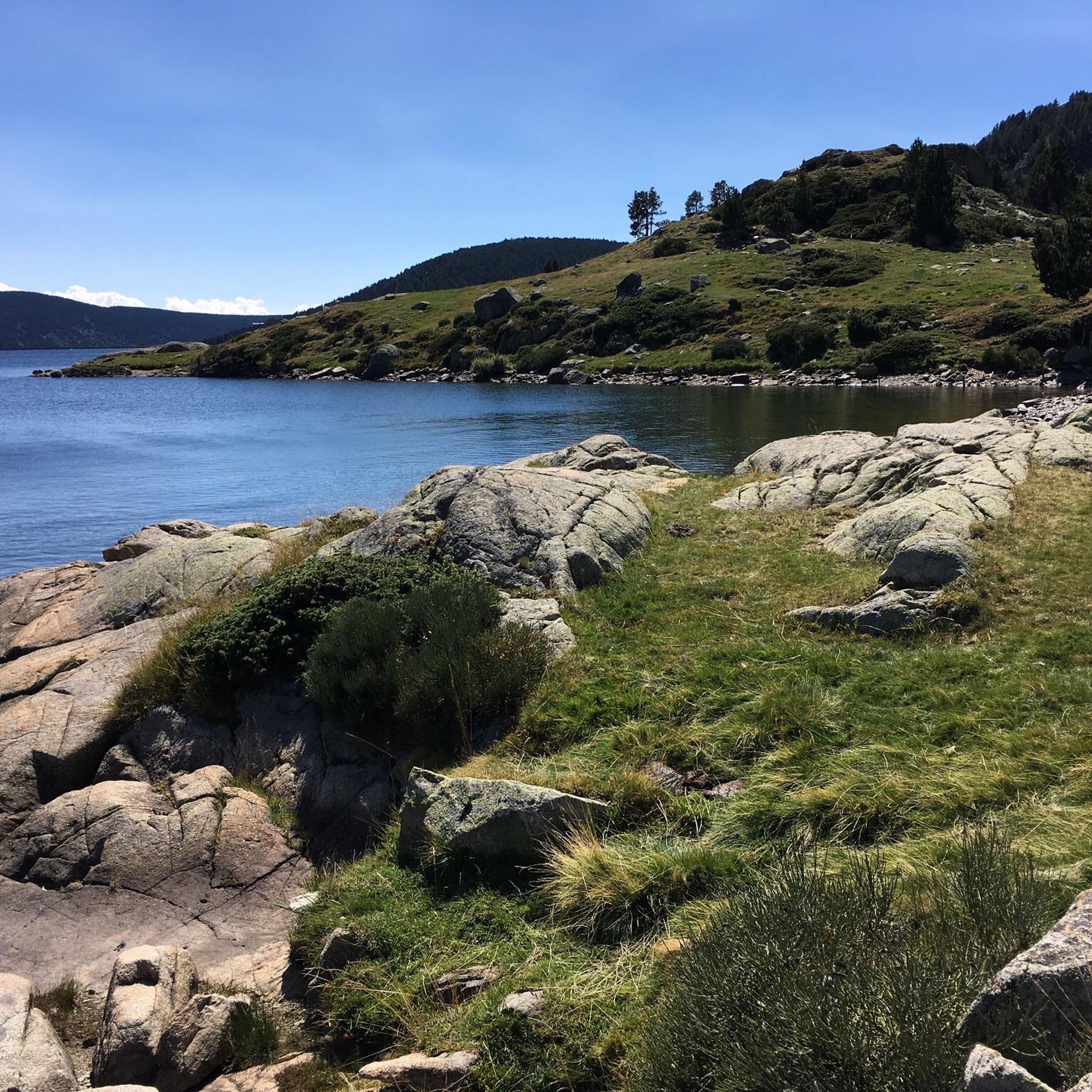
MTB Trails around Lac Des Bouillouses
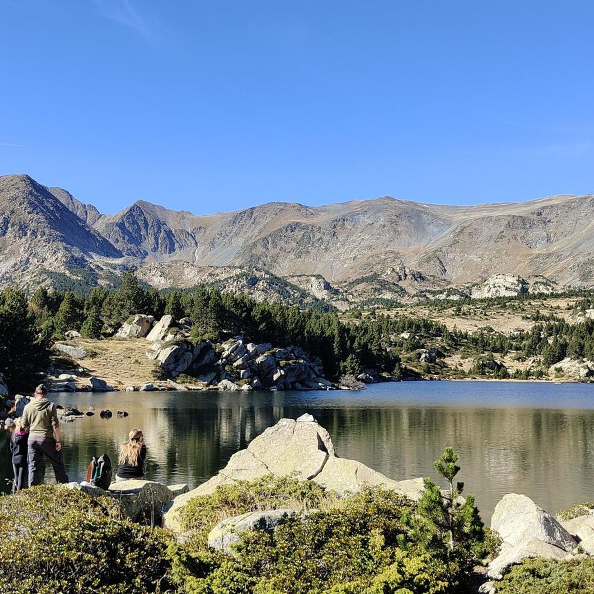
Road Cycling Routes around Lac Des Bouillouses
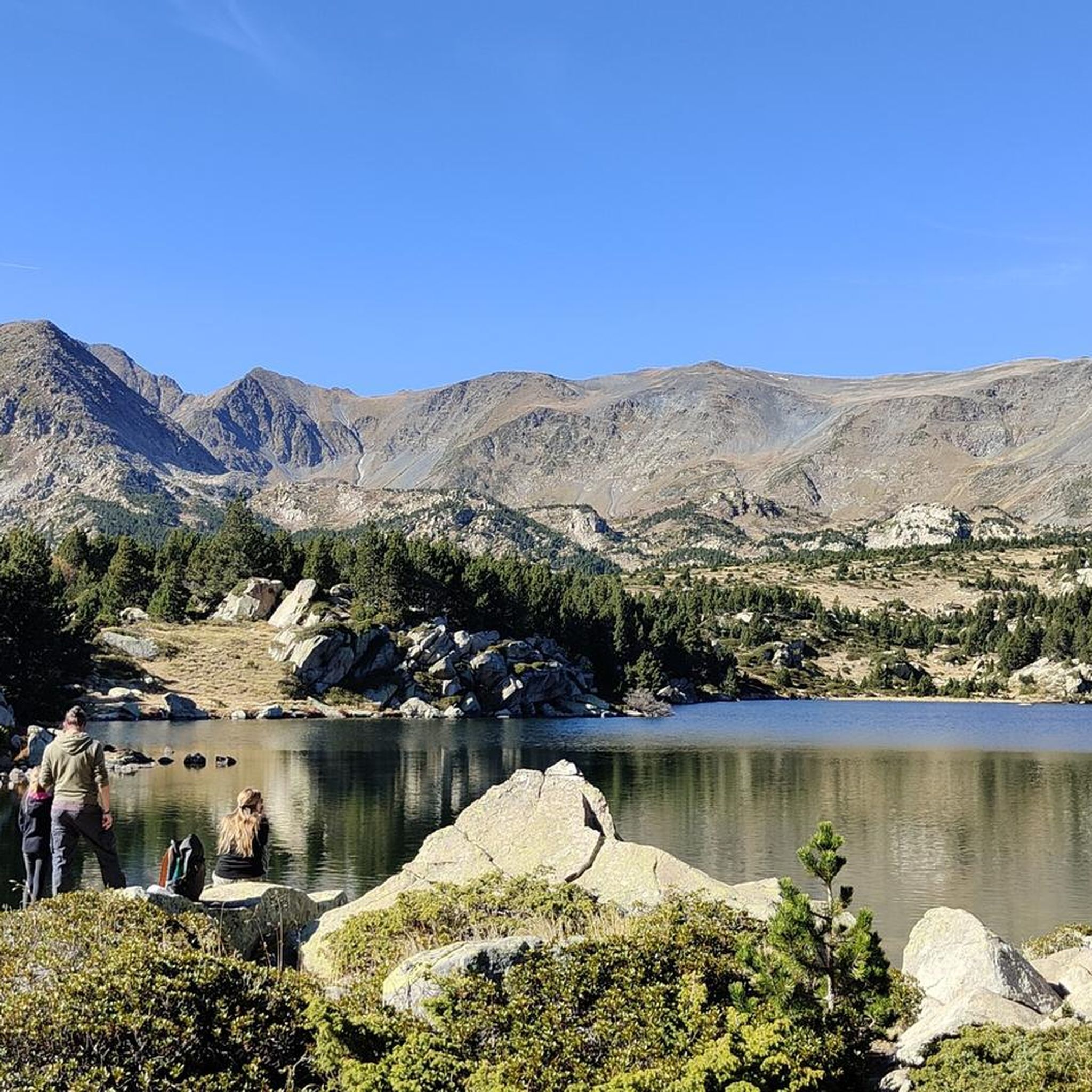
Running Trails around Lac Des Bouillouses

Gravel biking around Lac Des Bouillouses
Other adventures around Lac Des Bouillouses

Tips from the Community

More "high mountain" atmosphere than the other lakes in Carlit
0
0

A superb lake reflecting the neighboring peaks. The morning light amplifies this mirror effect.
0
0

Snowshoeing itinerary in the Bulloses area https://www.youtube.com/watch?v=esdackshECU
0
0


At an altitude of 2,330 metres, this lake is located in a dreamlike mountain environment. From there you can see the Carlit peak, the highest point of the massif.
0
0
Estany de la Pradella, also called the pond or lake of Pradeilles, is a beautiful mountain lake in the Pyrénées-Orientales. A superb setting for cycling in the heart of nature.
0
0

Nestled in a glacial basin, this small lake often lies dry in summer, revealing an impressive mineral setting, surrounded by meadows and imposing peaks. The trails leading to the lake offer magnificent views of the surrounding mountains and allow you to enjoy the tranquility of this timeless place.
1
0
Frequently Asked Questions
What kind of terrain can I expect on mountaineering routes around Lac des Bouillouses?
The region offers diverse terrain, ranging from dense pine forests to open alpine landscapes. You'll encounter numerous high-altitude lakes and ponds, streams to cross, and rugged sections, especially on ascents towards peaks like Pic Carlit. The area is characterized by its stunning high-altitude scenery at approximately 2,000 meters (6,617 feet).
Are there any easy mountaineering routes suitable for beginners or families?
While many routes are moderate to difficult, there is at least one easy mountaineering route available. For a moderate option that offers expansive views of the surrounding mountain lakes, consider the Lac de la Coumasse – View of the lakes loop from Lac des Bouillouses, which takes about 2 hours 54 minutes to complete.
What are some notable natural features or landmarks to see while mountaineering here?
The area is rich in natural beauty. Beyond the main Lake Bouillouses itself, you'll find numerous smaller high-altitude lakes and ponds, such as the Esquits Ponds and Estany Negre. Pic du Carlit, the highest point in the Pyrénées-Orientales department, is a prominent landmark and a major draw for experienced mountaineers. The region is also a classified Natura 2000 site, known for its rich wildlife, including Pyrenean chamois.
Are there any circular mountaineering routes available?
Yes, several routes are circular. For a moderate loop that explores the immediate vicinity of the main lake, try the Lake Bouillouses – Lake Bouillousses loop from Lac des Bouillouses. This route is about 11.0 km (6.9 miles) long and typically takes around 3 hours 41 minutes.
What is the best time of year for mountaineering in Lac des Bouillouses?
The summer months are generally ideal for mountaineering, offering good weather conditions for high-altitude routes. However, the region also transforms for winter activities like snowshoeing. Always check local weather conditions, especially for higher elevations like Pic Carlit, which can involve off-trail sections and require good visibility.
How many mountaineering routes are available in the Lac des Bouillouses area?
There are over 10 mountaineering routes documented for the Lac des Bouillouses region, catering to various skill levels from easy to difficult. The komoot community has rated these routes highly, with an average score of 4.9 stars.
Are there any challenging routes for experienced mountaineers?
Absolutely. For experienced mountaineers seeking a significant challenge, the Les Bones Hores Bar & Restaurant – Peak Carlit loop from Pla des Avellans is a difficult route covering 24.4 km (15.2 miles) with over 1,100 meters of elevation gain, typically taking around 9 hours 42 minutes. Another difficult option is the Pradeilles pond – Étang Noir loop from Pla des Avellans.
What do other mountaineers say about the routes in Lac des Bouillouses?
The mountaineering routes in Lac des Bouillouses are highly rated by the komoot community, with an impressive average score of 4.9 stars from nearly 20 reviews. Mountaineers often praise the varied terrain, the stunning high-altitude lakes, and the dramatic Carlit massif.
Is there accommodation or places to eat near the mountaineering routes?
Yes, there are options for accommodation and dining. Near the lake, you can find refuges and a hotel, such as the Carlit Inn, which provide places to stay and eat, allowing you to extend your visit and fully immerse yourself in the natural beauty of the area.
How is access managed to Lac des Bouillouses, especially during peak season?
Access to the site is managed, particularly during the summer months, to help preserve the natural environment. This often involves the use of shuttle buses and chairlifts to reach the lake area. It's advisable to check local regulations and transport options before your visit, especially if planning a trip during high season.
Most popular routes around Lac Des Bouillouses

Get inspired with the komoot mobile app


Explore more
Browse the best Mountain Hikes & Routes in other regions.
