The best walks and hikes around Messenkamp
4.6
(17035)
58,441
hikers
1,182
hikes
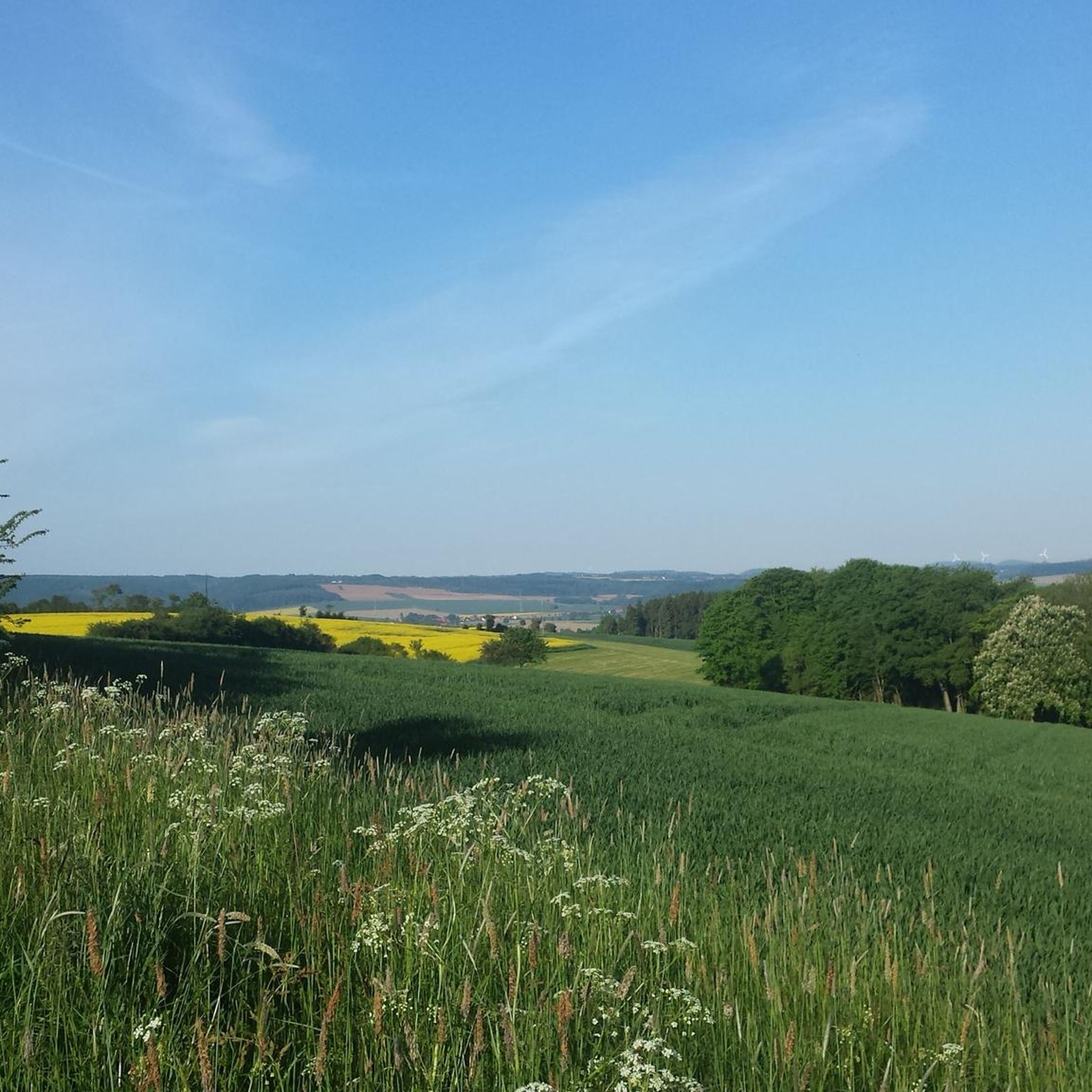
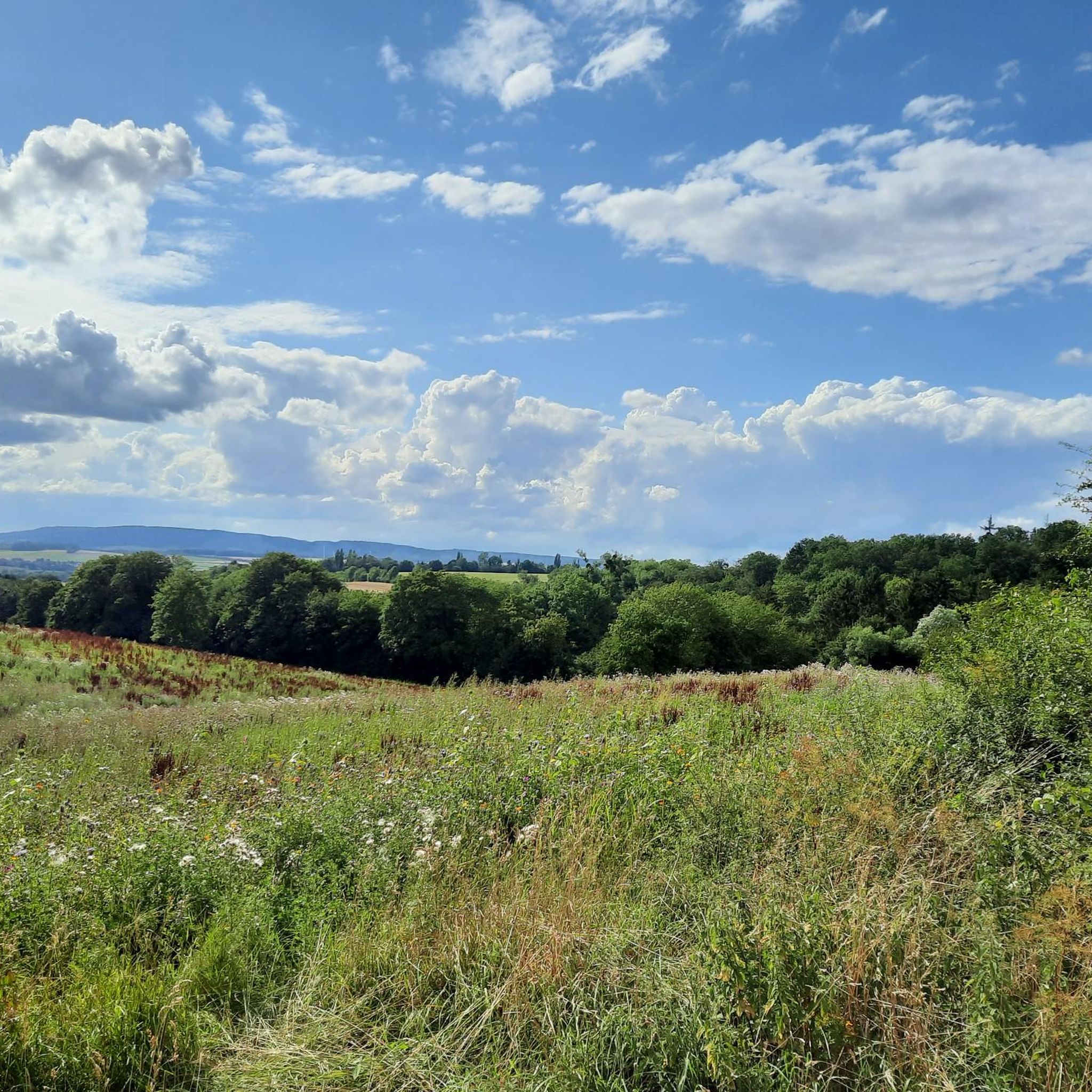
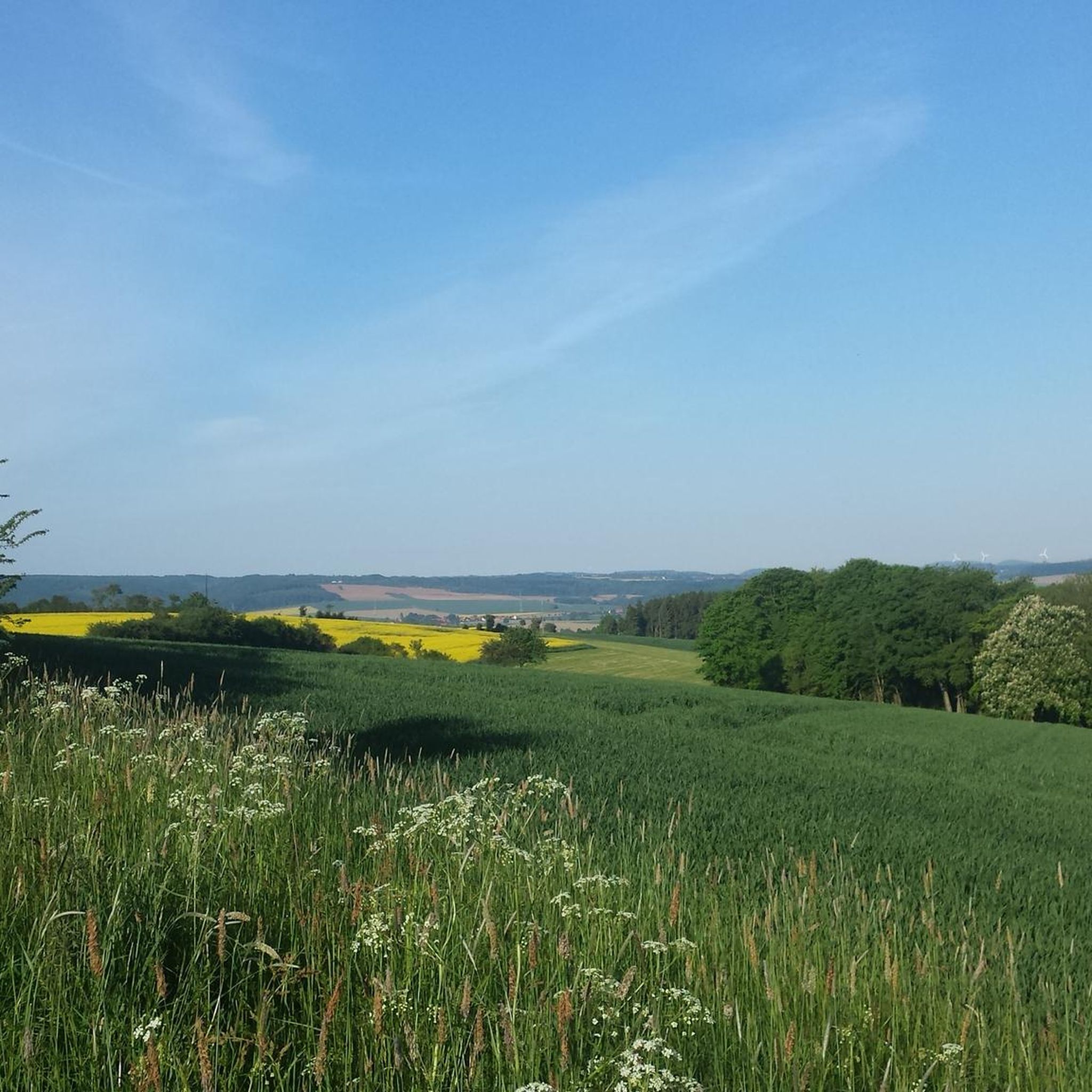
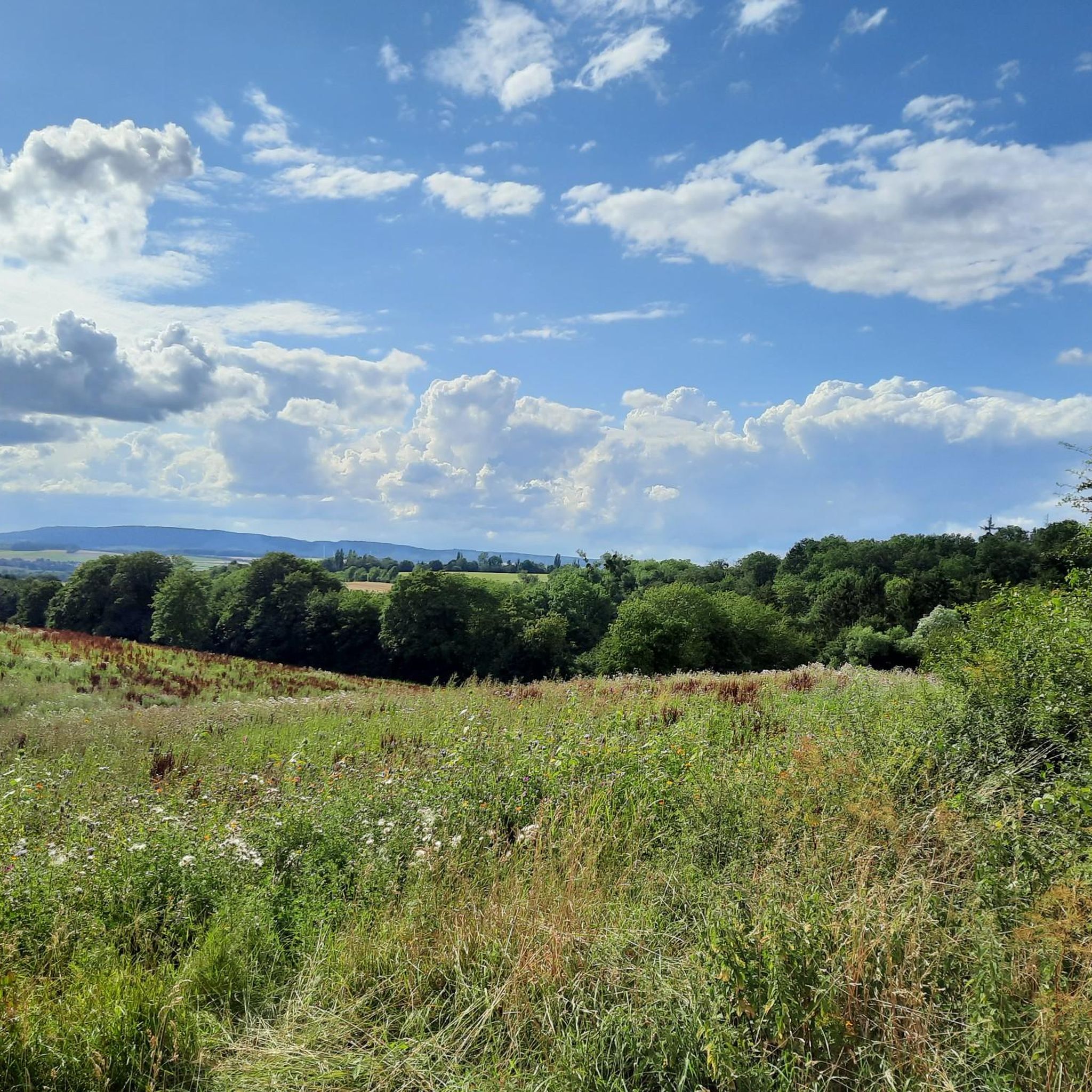
Hiking around Messenkamp offers diverse landscapes for outdoor activities. The region is situated on the edge of the Weserbergland, featuring dense forests, rolling hills, and rocky terrain. Natural features include the Weser Mountains, Mount Ith, and the Deister, providing varied hiking experiences. The Walterbachtal also offers trails through a scenic valley.
Best hiking trails around Messenkamp
- The most popular hiking route is Walterbach Valley Nature Reserve – Walterbach Valley Nature Reserve loop from Walterbachtal, a 2.7 miles (4.4 km)…
Last updated: August 28, 2026
4.8
(100)
279
hikers
Easy hike. Great for any fitness level. Easily-accessible paths. Suitable for all skill levels.
4.6
(78)
234
hikers
Easy hike. Great for any fitness level. Easily-accessible paths. Suitable for all skill levels.

Sign up for free
4.6
(53)
210
hikers
Moderate hike. Good fitness required. Easily-accessible paths. Suitable for all skill levels.
4.6
(17)
59
hikers
Moderate hike. Good fitness required. Mostly accessible paths. Sure-footedness required.
4.8
(22)
45
hikers
Moderate hike. Good fitness required. Easily-accessible paths. Suitable for all skill levels.
Get access to more routes and recommendations from other explorers.
Sign up for free
Already have an account?
Our route recommendations are based on thousands of hikes, rides, and runs completed by other people on komoot.
Start today with a free account
Your next adventure awaits.
Login or Signup

Tips from the Community

The Nienstedter Blick lies above this rock formation and can be reached via a small path on the left.
1
0
The Devil's Pulpit (Teufelskanzel) is a rocky outcrop in the Deister hills near Nienstedt, designated as a natural monument. It lies within the Devil's Chamber (Teufelskammer), a section of the state forest in the Deister hills between the Nordmann Tower (Nordmannsturm) and the Old Baptismal Font (Alte Taufe). Besides the forestry use of the beech forest, there was a quarry east of the Devil's Pulpit near the Nordmann Tower, as well as several mine shafts, such as the Devil's Chamber Tunnel (Teufelskammerstollen) about 500 meters west of the Devil's Pulpit, for extracting coal. Numerous other smaller sandstone blocks can be found on the Deister slopes in the vicinity of the Devil's Pulpit. This is due to the varying weathering of the sandstone and marl layers from the Lower Cretaceous period that outcrop on the southwest slope and dip to the northeast. Source: https://de.wikipedia.org/wiki/Teufelskanzel_(Nienstedt)
1
0
A beautiful shelter at the intersection of Emmerkenbrink, which leads from Egestorf up to the ridge path, and Bierweg, which runs below the ridge path.
1
0
The stone building with an information panel stands directly on the path from the open-air stage to the telecommunications tower. The door was bricked up in 1981. The inscription "1981" in the wall is unfortunately only partially preserved. "In Barsinghausen, the existing water supply was increasingly disrupted or interrupted by mining operations, and the wells ran dry. Since the mine operator was required to provide free drinking water, he had spring enclosures and reservoirs constructed in the Deister hills in 1909. Water pipes were then laid from there to the town." After mining ceased between 1956 and 1960, the Hanover district took over the water extraction facilities in 1962 and transferred them to a newly founded water association in 1964. Waterworks I ceased operation in 1980.
2
0
On a snowshoe hike, the Wallmannhütte in the Deister hills becomes a quiet, almost magical place. Surrounded by snow-covered forest, it offers a welcome break where you can pause for a moment and enjoy the winter tranquility.
1
0
The Walterbach is a small, unassuming, yet significant stream in the Deister hills, giving its name to the Walterbach Valley. It originates in the wooded heights of this low mountain range and flows gently through a diverse valley of meadows, moorland, and dense deciduous forests. Its course appears natural and largely untouched, giving the stream special ecological value. Typical of the Walterbach is its clear, cool water, which meanders gently through the valley. Alders, willows, and ferns grow along its banks, providing shade for the stream and simultaneously offering habitat for numerous animals. Amphibians, dragonflies, and waterfowl find ideal conditions here, while the stream itself is home to small animals and insect larvae, which play a vital role in the ecological balance. The Walterbach not only shapes the natural landscape but also the atmosphere of the valley. Its soft babbling accompanies walkers and hikers on the surrounding paths, enhancing the feeling of peace and seclusion. Especially during periods of heavy rain, the stream becomes more prominent, demonstrating just how dynamic and vibrant this small body of water can be. Historically, the Walterbach likely played a role in the water supply and the use of the surrounding land, for example, for grazing livestock or small-scale forestry.
1
0

Memorial stone for Heinrich Koch with benches for resting
0
0
Memorial stone on Schraube Way (Albert Schraube)
0
0
Frequently Asked Questions
How many hiking trails are there around Messenkamp?
Messenkamp offers a wide variety of hiking experiences, with over 1,100 trails available. These routes cater to all skill levels, from easy strolls to more challenging treks through diverse landscapes.
What kind of terrain can I expect on hikes in Messenkamp?
The terrain around Messenkamp is quite varied, situated on the edge of the Weserbergland and at the foot of the Deister hills. You'll find dense forests, gentle rolling hills, and picturesque valleys with paths winding along streams. Some areas, like Mount Ith, feature rocky formations, offering a rich tapestry of landscapes for hikers.
What is the best time of year to go hiking in Messenkamp?
Spring and autumn are generally considered the best times for hiking in Messenkamp. During these seasons, temperatures are mild, and nature displays vibrant colors, making for particularly scenic and enjoyable walks. The lush greenery of spring and the rich hues of autumn enhance the natural beauty of the region.
Are there easy hiking trails suitable for beginners or families in Messenkamp?
Yes, Messenkamp has over 670 easy hiking trails, perfect for beginners or families. A great option is the Walterbach Valley Nature Reserve – Walterbach Valley Nature Reserve loop from Walterbachtal, an easy 4.4 km route that explores the natural beauty of the valley. Another family-friendly choice is the Blumenhagener Bach – Feggendorfer Adit loop from Samtgemeinde Rodenberg, an easy 6.8 km path winding through forests and past streams.
Can I find moderate or challenging hikes in Messenkamp?
Absolutely. Messenkamp offers over 450 moderate trails and 60 difficult trails for more experienced hikers. For a moderate challenge, consider the Walterbach Valley Nature Reserve – Eimbeckhausen Panorama Trail loop from Samtgemeinde Rodenberg, which covers 12.5 km with notable elevation changes. Another moderate option is the Wallmann Hut – Panoramic View of Nienstedt loop from Walterbachtal, a 9.2 km route offering scenic vistas.
Are there circular hiking routes available in Messenkamp?
Yes, many of the trails around Messenkamp are designed as loops, allowing you to start and end at the same point. Popular circular routes include the Walterbach Valley Nature Reserve – Walterbach Valley Nature Reserve loop from Walterbachtal and the Blumenhagener Bach – Feggendorfer Adit loop from Samtgemeinde Rodenberg, both offering beautiful scenery without retracing your steps.
What natural features or landmarks can I see along the hiking trails?
Hiking in Messenkamp allows you to explore diverse natural features. You'll encounter dense forests, clear streams, and scenic valleys, particularly in areas like the Walterbachtal. The region also offers impressive viewpoints, such as the Hohenstein Cliffs and Scenic Viewpoint, and the Green Altar Viewpoint, providing spectacular vistas of the surrounding Weserbergland and Deister hills. You might also discover the historic Hoffmann's Windmühle, a fully functional mill.
Are there dog-friendly hiking trails in Messenkamp?
Many trails in Messenkamp are suitable for hiking with dogs, allowing you and your canine companion to enjoy the natural beauty of the region. The diverse landscapes, from forests to open paths, provide ample opportunities for walks. It's always a good idea to keep your dog on a leash, especially in nature reserves or areas with wildlife, and to check local regulations for specific trails.
What do other hikers enjoy most about hiking in Messenkamp?
The hiking trails around Messenkamp are highly rated by the komoot community, with an average score of 4.6 stars from over 13,000 reviews. Hikers often praise the region's diverse landscapes, including dense forests, rolling hills, and scenic valleys, as well as the well-maintained paths that wind past streams and offer numerous viewpoints. The variety of routes catering to all ability levels is also frequently highlighted.
Are there places to eat or stay near the hiking trails in Messenkamp?
Messenkamp and its surrounding villages offer various amenities for hikers. You can find cafes, pubs, and restaurants to refuel after your hike, as well as accommodation options like hotels or guesthouses if you plan an extended stay. These local establishments provide a welcoming atmosphere and a chance to experience the regional hospitality.
Is parking available at the trailheads in Messenkamp?
Yes, parking is generally available near many of the popular trailheads in Messenkamp and the surrounding areas, such as the Walterbachtal and near Mount Ith. While specific parking information for each route varies, you can often find designated parking areas or roadside spots convenient for accessing the trails.
Can I reach hiking trails in Messenkamp using public transport?
Public transport connections are available to Messenkamp and some nearby areas, which can provide access to certain hiking trails. While some trailheads might require a short walk from a bus stop, it is possible to plan your hiking trips using public transport. It's advisable to check local bus schedules and routes in advance to plan your journey effectively.
Most popular routes around Messenkamp
Most popular attractions around Messenkamp

Get inspired with the komoot mobile app


Explore more
Browse the best Hikes in other regions.
