The best gravel rides around Messenkamp
4.6
(65)
399
riders
55
rides
Gravel biking around Messenkamp offers diverse landscapes at the foot of the Deister, a prominent ridge known for its natural beauty. The region is characterized by a network of trails traversing fields, streams, and forests, extending into the Weserbergland with its spectacular views. Mount Ith adds a rocky landscape with varied terrain, while the Waltersbachtal provides a nature-protected area. These features create a varied environment suitable for gravel cycling.
Best gravel bike trails around Messenkamp
- The most popular gravel bike…
Last updated: August 27, 2026
5.0
(5)
77
riders
65.2km
04:41
1,300m
1,300m
Hard gravel ride. Very good fitness required. Mostly paved surfaces. Suitable for all skill levels.
4.5
(2)
30
riders
84.7km
06:20
1,650m
1,650m
Hard gravel ride. Very good fitness required. Mostly paved surfaces. Suitable for all skill levels.

Sign up for free
4.7
(3)
34
riders
49.8km
03:35
1,040m
1,040m
Hard gravel ride. Very good fitness required. Mostly paved surfaces. Suitable for all skill levels.
3.0
(2)
12
riders
34.9km
02:32
640m
640m
Hard gravel ride. Very good fitness required. Mostly paved surfaces. Suitable for all skill levels.
4.0
(1)
9
riders
71.4km
04:43
1,240m
1,240m
Hard gravel ride. Very good fitness required. Mostly paved surfaces. Suitable for all skill levels.
Get access to more routes and recommendations from other explorers.
Sign up for free
Already have an account?
Our route recommendations are based on thousands of hikes, rides, and runs completed by other people on komoot.
Start today with a free account
Your next adventure awaits.
Login or Signup
Tips from the Community

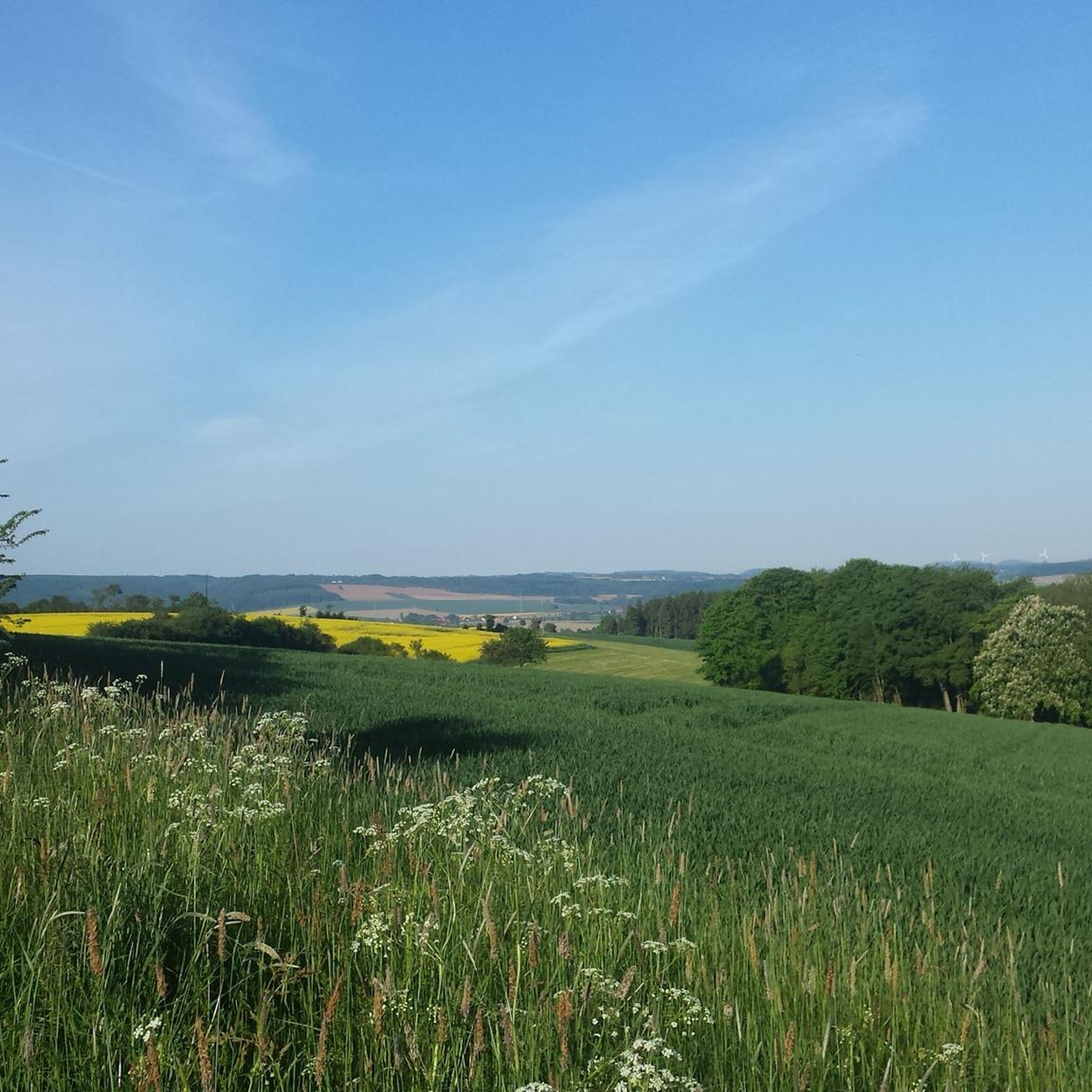
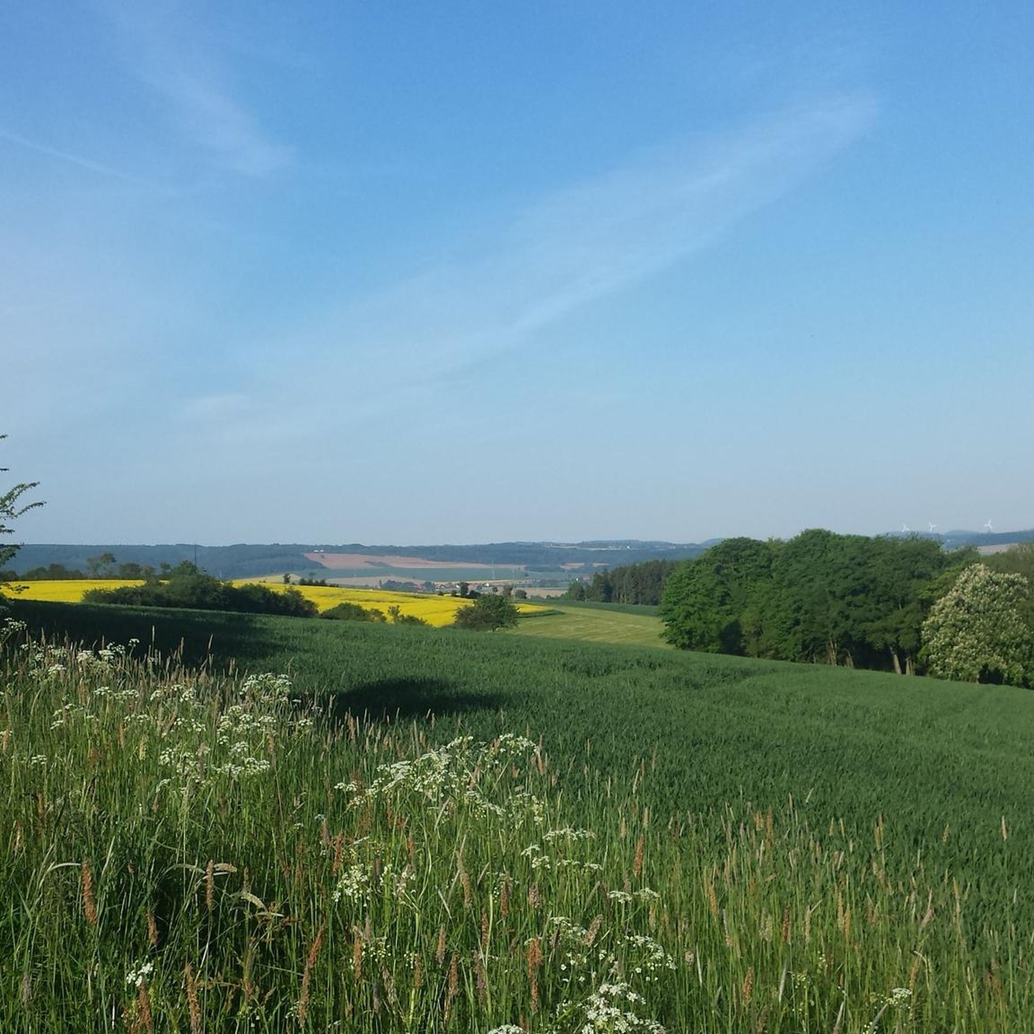
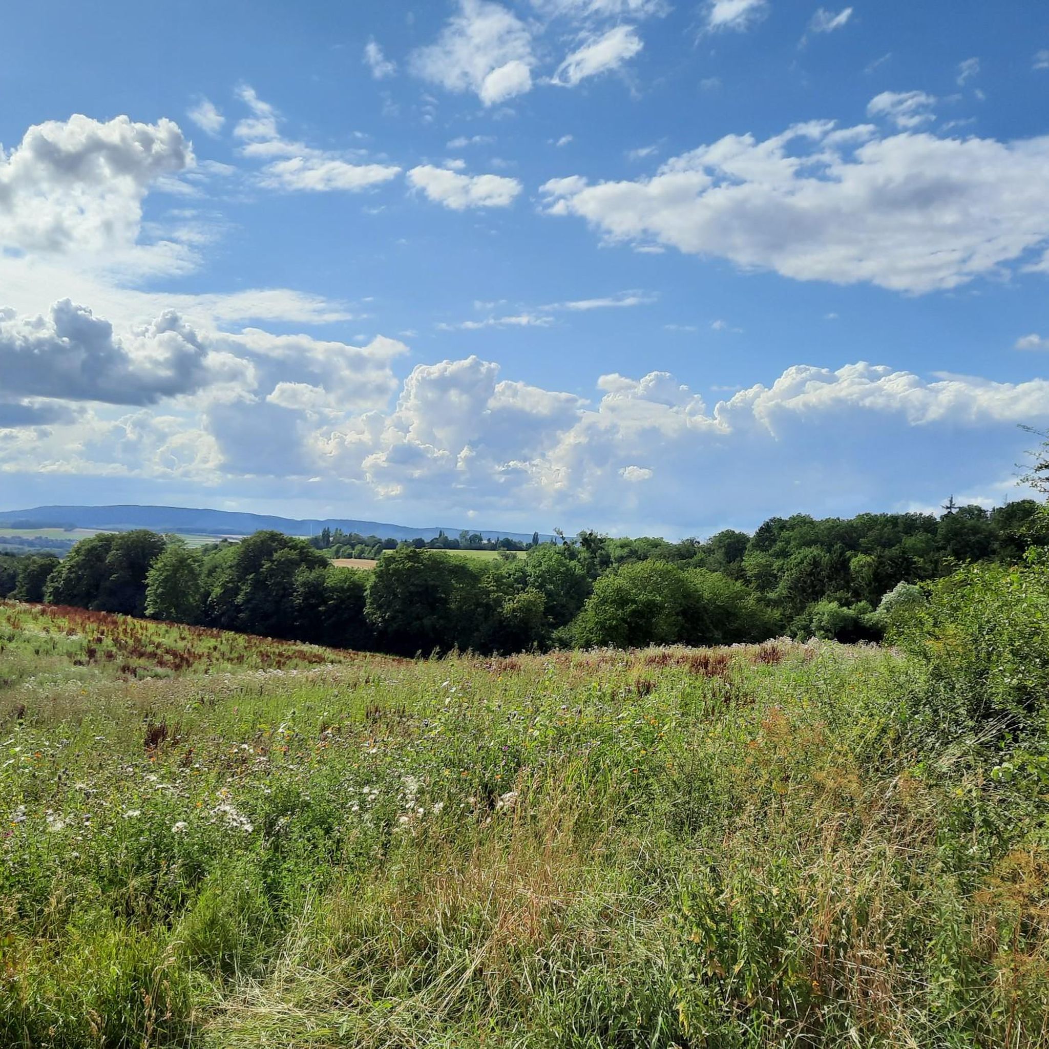
Beautiful view of Springe
0
0

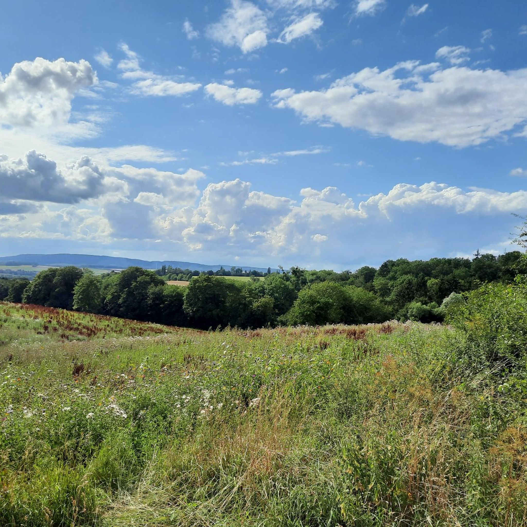
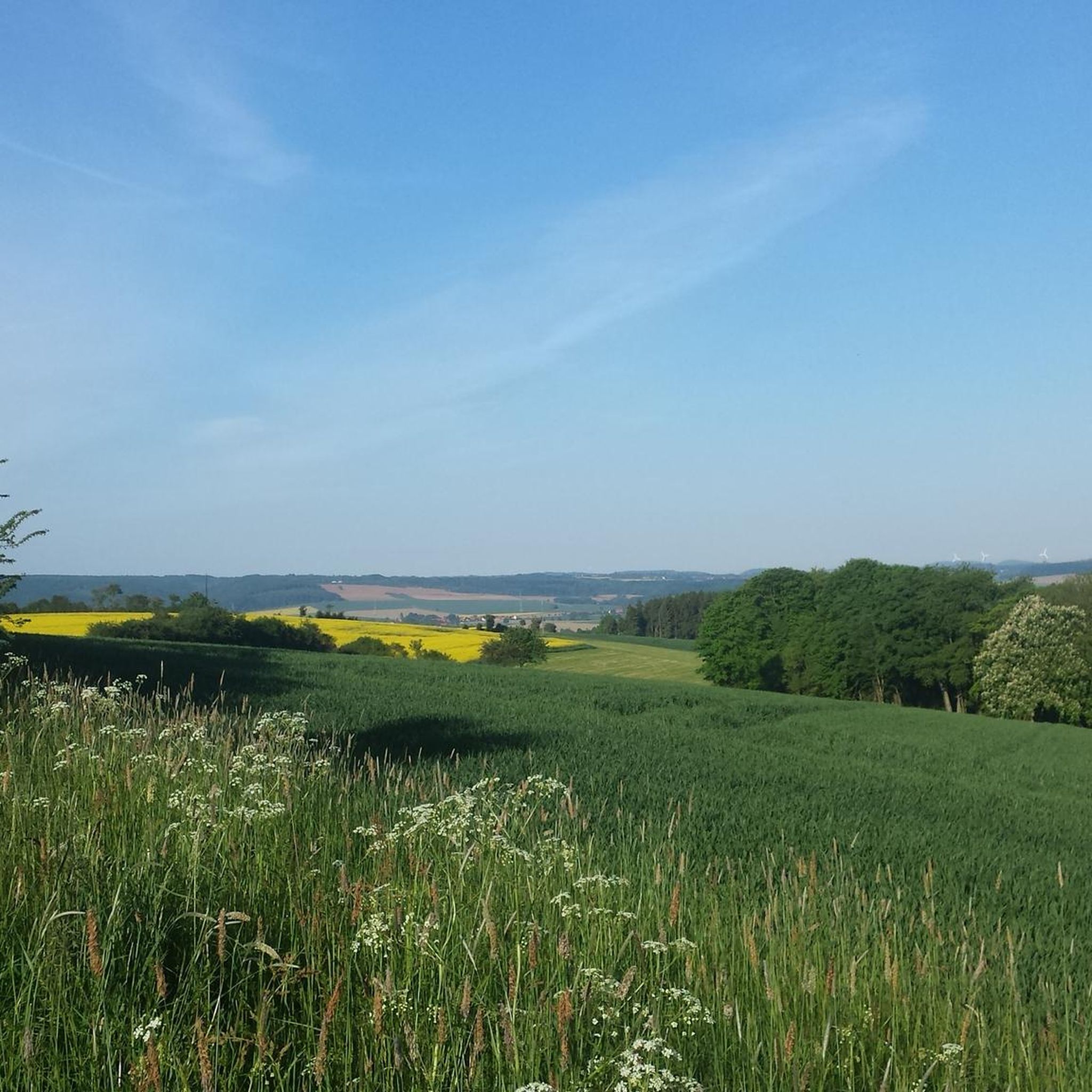
Beautiful view of the surrounding area.
1
0
Rest stop with a bench, great view of the surrounding area. Beautiful distant view.
1
0

Der Alte Busch, the mountain is actually called that, simply offers a great all-round view!
1
0

Wide path along the edge of the forest with beautiful views.
0
0

You can eat very well 🥘 or just take a short break with coffee and cake 🍰 after hiking 🥾 in the Deister or cycling 🚴♂️
0
0


Originally, where the Mooshütte is today, there was a shelter made of sticks and moss, next to a small pond that was fed by the Hessian spring. As early as 1895, the innkeeper of the Königseiche in Bantorf, Fritz Hecht, had been running the restaurant at the spring with a horse and cart, and only when the weather was good. In 1924, Fritz Hecht had the building of today's Mooshütte built, but it only contained a bar and a kitchen and was only later converted to residential use. In 1940, an ice and storage cellar was built into the mountain behind the Mooshütte, which always had the same temperature in summer and winter. In 1951, the steel construction company Preussag began emergency mining facilities around the Mooshütte. In 1954, the hall was added to the left of the building. Five years later, the Mooshütte was taken over by the daughter of the innkeeper Friedolf Hecht and her family, the Watermann family, who continued to expand the Mooshütte. After mining ceased in 1960, the Watermann family had the washhouse converted into a guest house. In October 1998, the Mooshütte was purchased by the Flügge family from Schmarrie, who had been interested in the building for some time and were in negotiations with the previous owner. They immediately set about renovating the property. On May 1, 1999, the Mooshütte opened its doors as a restaurant for day trippers and hikers. Since then, the Mooshütte has once again enjoyed its traditionally lively popularity. In the 2000s, further extensive renovations took place. There were new extensions and further redesigns. Source: https://mooshuette.de/#hi
4
0
Frequently Asked Questions
How many gravel bike trails are available around Messenkamp?
There are over 60 gravel bike trails around Messenkamp, offering a wide variety of routes for different skill levels. The komoot community has explored these diverse paths over 400 times.
Are there easy gravel bike trails suitable for beginners in Messenkamp?
Yes, Messenkamp offers 8 easy gravel bike trails. These routes typically feature less elevation gain and smoother terrain, perfect for those new to gravel biking or looking for a relaxed ride through the scenic landscapes.
What are some challenging gravel bike routes in the Messenkamp area?
For experienced gravel bikers seeking a challenge, there are 31 difficult routes. One such demanding route is the Wennigsen Waterwheels – Süntel Tower loop from Barsinghausen, which covers nearly 95 km with significant elevation changes, taking you through the Deister and Süntel regions.
What is the best time of year for gravel biking around Messenkamp?
The mild weather during spring and autumn makes these seasons ideal for gravel biking around Messenkamp. Spring offers blooming flowers, while autumn showcases beautiful changing leaves, enhancing the natural beauty of the Deister and Weserbergland.
Are there any family-friendly gravel biking options in Messenkamp?
While specific 'family-friendly' routes are not explicitly categorized, the region's 8 easy trails are generally suitable for families. These routes often traverse idyllic natural settings like fields and forests, providing a pleasant experience for all ages. Always check the route details for distance and elevation to ensure it matches your family's capabilities.
Can I find circular gravel bike routes in Messenkamp?
Yes, many of the gravel bike trails around Messenkamp are designed as loops, allowing you to start and finish at the same point. An example is the Mooshütte Deister – Rodenberger Höhe Viewpoint loop from Barsinghausen, which offers a rewarding circular ride with scenic views.
What interesting landmarks or viewpoints can I see along the gravel bike trails?
The routes often lead to impressive viewpoints and historical sites. You can visit the View from Rodenberger Höhe, or explore historical structures like Hülsede Water Castle. The Deister ridge itself offers numerous scenic spots, including the Anna Tower on the Bröhn.
Are there any castles or historical sites accessible by gravel bike?
Absolutely. The Schaumburger Land region is rich in historical sites. You can cycle to impressive castles such as Hülsede Water Castle or the Rodenberg Castle and Open-Air Museum. These historical gems can be integrated into your gravel biking tours for a cultural experience.
What do other gravel bikers enjoy most about Messenkamp's trails?
The area is highly rated by the komoot community, with an average score of 4.8 stars from over 60 reviews. Reviewers often praise the diverse landscapes, from the prominent Deister ridge to the serene Waltersbachtal, and the varied forest and field paths that make each ride unique.
Are there any routes that offer views of the Weserbergland?
Yes, Messenkamp's location on the edge of the Weserbergland means many routes offer spectacular views of this uplands region. The Nienstedter Pass – Wennigsen Waterwheels loop from Barsinghausen, for instance, winds through forested areas and provides glimpses of the surrounding Weserbergland scenery.
Can I find routes that lead to the Anna Tower on the Bröhn?
Yes, a popular route that includes the Anna Tower is the Bielstein Hut (Deister) – Anna Tower on the Bröhn loop from Barsinghausen. This trail explores the Deister ridge and offers significant elevation changes, culminating at the tower.
Are there gravel routes that offer expansive views of Schaumburg Land?
Indeed. The Nienstedter Pass – View of Schaumburg Land loop from Barsinghausen is a great option. This 71.4 km trail leads through the Deister and provides expansive vistas of the beautiful Schaumburg Land region.
Most popular routes around Messenkamp
Most popular attractions around Messenkamp

Get inspired with the komoot mobile app


Explore more
Browse the best Gravel rides in other regions.
