The best traffic-free bike rides in Warren County
5.0
(7)
131
riders
8
rides
No traffic touring cycling routes in Warren County, Missouri, traverse a landscape shaped by the Missouri River and its surrounding bluffs. The region features extensive river floodplains, offering generally flat terrain ideal for cycling, interspersed with rolling hills and forested areas. These routes often follow historic rail-trails, providing a mix of paved and packed gravel surfaces.
Best no traffic touring cycling routes in Warren County
- The most popular no traffic touring cycling route is Bums Cave – Missouri River loop…
Last updated: July 7, 2026
5.0
(1)
20
riders
64.4km
05:47
120m
120m
Hard bike ride. Very good fitness required. Mostly paved surfaces. Suitable for all skill levels.
13
riders
37.4km
03:05
70m
70m
Moderate bike ride. Good fitness required. Mostly paved surfaces. Suitable for all skill levels.

Sign up for free
9
riders
39.1km
03:36
50m
50m
Moderate bike ride. Good fitness required. Mostly paved surfaces. Suitable for all skill levels.
11
riders
24.8km
02:17
30m
30m
Moderate bike ride. Good fitness required. Mostly paved surfaces. Suitable for all skill levels.
5.0
(1)
11
riders
34.3km
02:55
80m
80m
Moderate bike ride. Good fitness required. Mostly paved surfaces. Suitable for all skill levels.
Get access to more routes and recommendations from other explorers.
Sign up for free
Already have an account?
Our route recommendations are based on thousands of hikes, rides, and runs completed by other people on komoot.
Start today with a free account
Your next adventure awaits.
Login or Signup


Tips from the Community

Known locally as “Devil’s Boot Cave,” this natural overhang carved in sandstone resembles the shape of a boot and stretches roughly 25 feet deep and wide, near Marthasville. Once used as a pioneer shelter and noted by local schools for nature trips, the site offers a little geological curiosity beside the trail—a hands-on reminder of Missouri’s limestone landscape and early frontier life. Great for a quick stop and photo op!
0
0
Shortly after turning onto Case Road, cyclists enter the 3,520-acre Daniel Boone Conservation Area — part of Missouri’s preserved forestland celebrated for wooded hills, glades, four fishable ponds, and trails that wind through rugged valleys and wildlife habitat, perfect for birding, nature photography, or stretching legs before the climb While the Katy Trail has been smooth and flat up to this point, once you turn onto Case Road and enter the conservation area, expect a steady climb that eventually reaches a challenging maximum grade of about 12% (you may want to walk your bike at this part) This ascent leads you up to the campground within the Conservation Area—so pace yourself, shift into a lower gear, and take short breaks if needed before reaching the ridge and the peaceful campsites above.
0
0
This small town offers a convenient trailhead with parking, restrooms, and a bike repair station. Just off the trail, Loutre Market serves hot deli food, snacks, drinks, and trail essentials—making it a great resupply stop. The restored McKittrick Farmers Mercantile building now offers loft-style lodging steps from the trail. With both charm and function, McKittrick is a worthwhile pause on your ride east.
0
0
Between mile markers 93.2 and 89.0, the Katy Trail offers some of its most breathtaking views of the Missouri River. This section features sweeping vistas of the river, dramatic limestone bluffs, and serene floodplain landscapes. The Missouri River, often called the "Big Muddy" due to its high silt content, is the longest river in North America, stretching over 2,300 miles from Montana to its confluence with the Mississippi River near St. Louis.
0
0

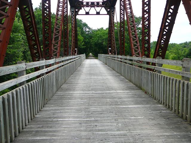
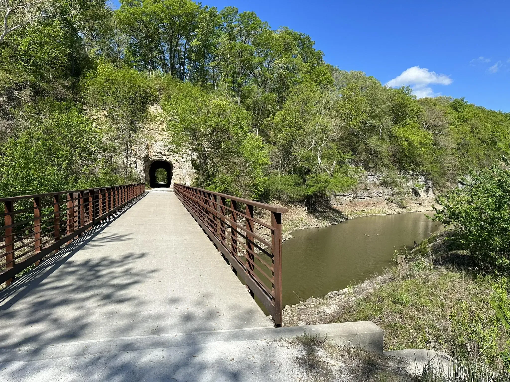
The Katy Trail from Matson to Augusta or vice versa offers mostly shaded paths, providing views of bluffs, wooden bridges, and glimpses of Klondike Park and the surrounding rural area along the way.
0
0
Klondike Park, nestled alongside the Missouri River near Katy Trail State Park, was a former silica sand quarry, now restored by St. Charles County Parks. Enjoy stunning views of the Missouri River from its bluffs. The park offers numerous camping sites and is known for its powdery white silica sand, once used for glass production. The Lewis and Clark Expedition also passed through this area.
0
0
Augusta is a historic town nestled among rolling hills on the Missouri River bluffs. Incorporated in 1855, it proudly holds the distinction of being America's first designated wine region, recognized by the Federal Government in 1980—preceding even Napa and Sonoma! Known for its quaint charm and historic sites, Augusta stands as one of the most popular stops along the Katy Trail. Here, visitors can easily hop on or off the trail to discover wineries, a brewery, restaurants, a coffee shop, antiques, specialty stores, and relaxing B&Bs.
0
0
The Katy Trail from Matson to Augusta offers mostly shaded paths, providing views of bluffs, wooden bridges, and glimpses of Klondike Park and the surrounding rural area along the way.
0
0
Frequently Asked Questions
How many no-traffic touring cycling routes are available in Warren County?
There are 8 dedicated no-traffic touring cycling routes listed in Warren County. These routes offer a variety of distances and difficulties, ensuring options for different skill levels.
Are there any easy, car-free touring bike trails for beginners or families in Warren County?
Yes, there are 2 easy no-traffic touring cycling routes in Warren County, perfect for beginners or families. These routes typically feature flatter terrain and shorter distances, providing a relaxed cycling experience away from vehicle traffic.
What is the longest no-traffic touring cycling route in Warren County?
The longest no-traffic touring cycling route in Warren County is the Bums Cave – Missouri River loop from Dutzow, spanning approximately 86.3 kilometers (53.6 miles). This route offers a significant distance for those looking for a longer, car-free adventure.
Are there any circular no-traffic touring bike trails in Warren County?
Yes, several routes in Warren County are designed as loops, allowing you to start and end at the same point without retracing your path. Examples include the Bums Cave – Missouri River loop from Dutzow and the Augusta – Bums Cave loop from Augusta.
What kind of terrain can I expect on the no-traffic touring cycling routes in Warren County?
The no-traffic touring cycling routes in Warren County generally feature relatively flat terrain, with moderate elevation changes. For example, the Katy Trail – Klondike Park Quarry loop from Dutzow has an elevation gain of about 74 meters, making for a comfortable ride.
What do other touring cyclists enjoy most about the no-traffic routes in Warren County?
The no-traffic routes in Warren County are highly rated by the komoot community, with an average score of 4.7 stars. Reviewers often praise the peaceful, car-free environment, the scenic views along the Missouri River, and the well-maintained trails like sections of the Katy Trail.
Are there any routes that connect to the Katy Trail in Warren County?
Yes, several no-traffic routes in Warren County utilize or connect to sections of the famous Katy Trail. For instance, the Katy Trail – Klondike Park Quarry loop from Dutzow is a great option that incorporates this popular trail.
What is the best time of year for no-traffic bike touring in Warren County?
Spring and fall generally offer the most pleasant conditions for no-traffic bike touring in Warren County, with mild temperatures and beautiful scenery. Summer can be enjoyable, but be prepared for warmer weather, while winter might see some trails affected by snow or ice.
Are there any routes suitable for a moderate challenge in Warren County?
Yes, the majority of no-traffic touring cycling routes in Warren County are rated as moderate, offering a good balance of distance and mild elevation. An example is the Augusta loop from Dutzow, which provides a satisfying ride without being overly strenuous.
Where can I find information about parking access for no-traffic touring bike trails in Warren County?
Parking access for no-traffic touring bike trails in Warren County is typically available at trailheads in towns like Dutzow, Augusta, and McKittrick, which serve as common starting points for many routes. Specific parking details are usually provided on individual route pages or local tourism websites.
Can I find routes that explore historic areas or small towns in Warren County?
Yes, many no-traffic routes in Warren County pass through or near charming historic towns and areas. Routes starting from Dutzow or Augusta, such as the Augusta – Bums Cave loop from Augusta, allow cyclists to experience the local character and history of the region.

Get inspired with the komoot mobile app


Explore more
Browse the best Cycling routes in other regions.
