The best road cycling routes in Warren County
44
riders
6
rides
Road cycling in Warren County features a landscape characterized by rolling hills, river valleys, and agricultural areas. The region offers a mix of paved country roads and scenic routes that traverse varied terrain. Elevations typically involve gradual ascents and descents, with some routes featuring climbs of over 1,000 feet. The area's natural features include proximity to the Missouri River and several lakes, providing diverse backdrops for rides.
Best road cycling routes in Warren County
- The most popular road cycling route…
Last updated: July 2, 2026
8
riders
77.8km
05:44
530m
530m
Hard road ride. Very good fitness required. Some segments of this route may be unpaved and difficult to ride.
9
riders
21.3km
00:55
120m
120m
Easy road ride. Great for any fitness level. Mostly well-paved surfaces and easy to ride.

Sign up for free
3
riders
62.1km
03:39
420m
420m
Moderate road ride. Good fitness required. Some segments of this route may be unpaved and difficult to ride.
3
riders
64.9km
03:13
530m
530m
Moderate road ride. Good fitness required. Mostly well-paved surfaces and easy to ride.
2
riders
81.8km
03:35
610m
610m
Moderate road ride. Good fitness required. Mostly well-paved surfaces and easy to ride.
1
riders
Easy road ride. Great for any fitness level. Mostly well-paved surfaces and easy to ride.
Our route recommendations are based on thousands of hikes, rides, and runs completed by other people on komoot.
Start today with a free account
Your next adventure awaits.
Login or Signup




Tips from the Community

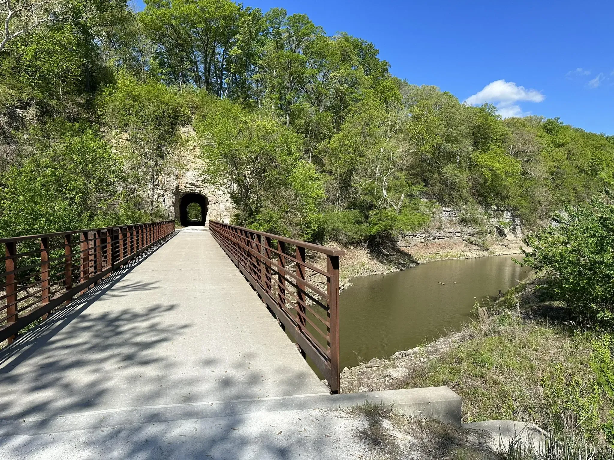
Known locally as “Devil’s Boot Cave,” this natural overhang carved in sandstone resembles the shape of a boot and stretches roughly 25 feet deep and wide, near Marthasville. Once used as a pioneer shelter and noted by local schools for nature trips, the site offers a little geological curiosity beside the trail—a hands-on reminder of Missouri’s limestone landscape and early frontier life. Great for a quick stop and photo op!
0
0

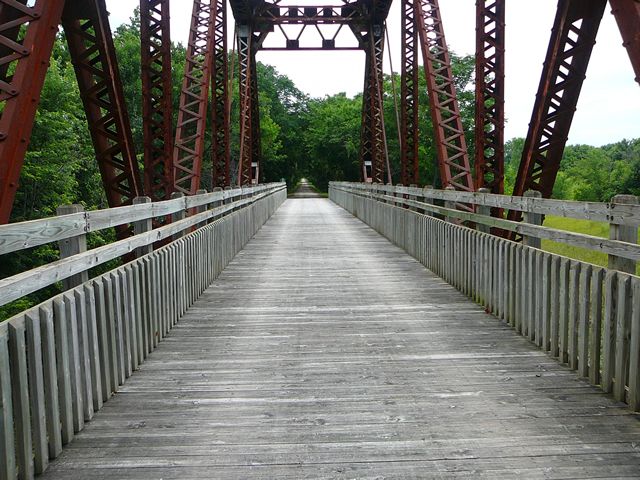
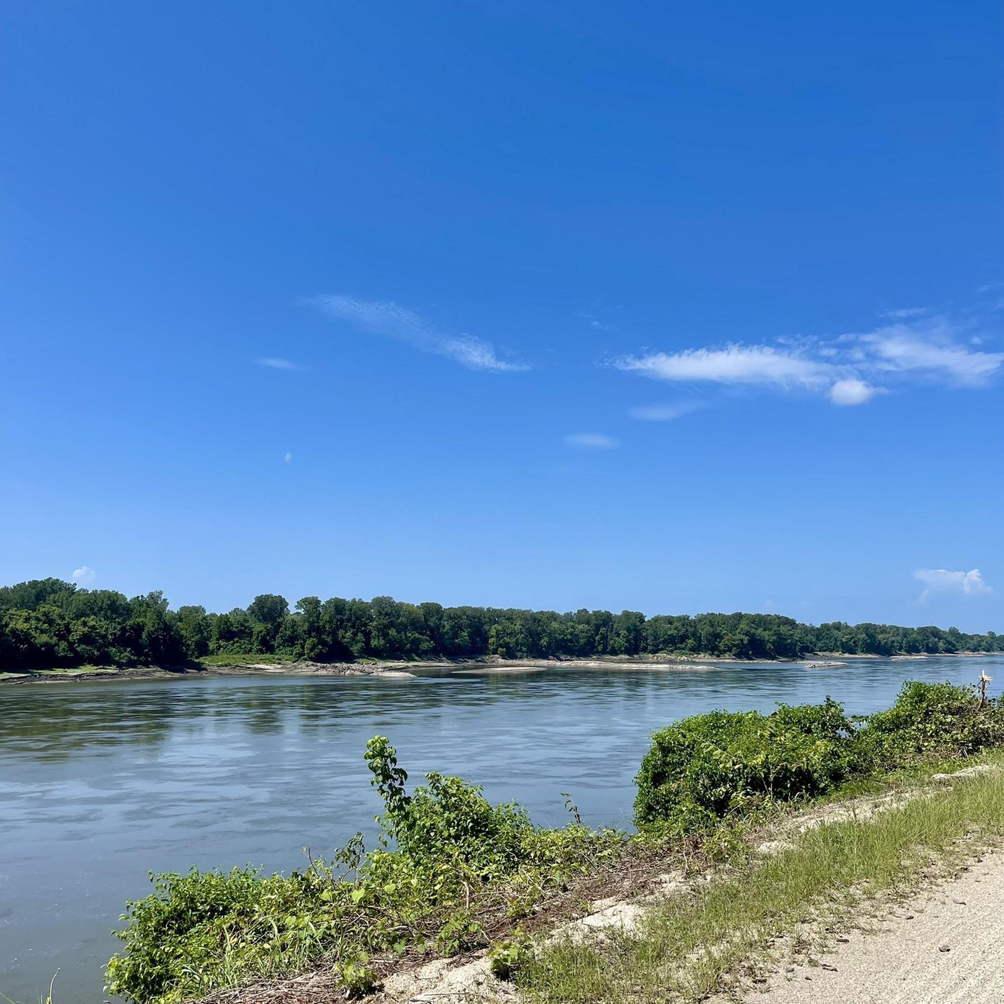
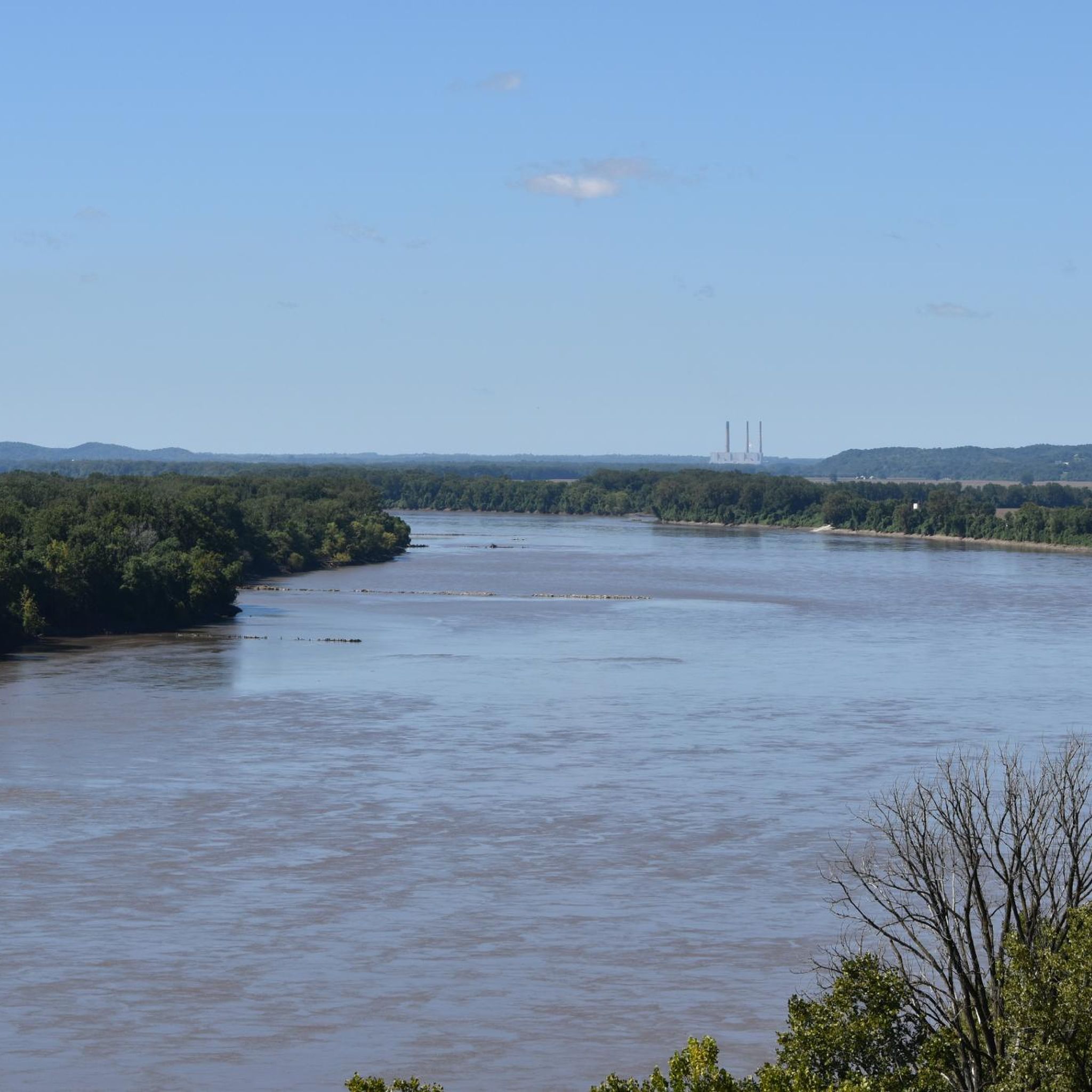
Fantastic trail along the Missouri. Can be busy with pedestrians.
0
0
Frequently Asked Questions
How many road cycling routes are available in Warren County?
Warren County offers a selection of 7 road cycling routes, catering to various skill levels. These routes provide diverse experiences across the region's rolling hills and river valleys.
Are there road cycling routes suitable for beginners in Warren County?
Yes, Warren County has at least one route specifically rated as easy, making it suitable for beginners or those looking for a more relaxed ride. The majority of routes are moderate, offering a good progression for developing cyclists.
What are some challenging road cycling routes for advanced riders in Warren County?
For advanced riders seeking a challenge, the Bums Cave loop from Marthasville is a difficult 48.4-mile path featuring significant elevation changes and varied rural landscapes. This route is ideal for experienced cyclists looking to test their endurance.
What is the best time of year for road cycling in Warren County?
The most pleasant times for road cycling in Warren County are typically spring and fall. During these seasons, temperatures are milder, and the natural scenery, from blooming landscapes to vibrant autumn foliage, enhances the riding experience. Summer can be warm, and winter may bring colder temperatures and potential for icy conditions.
Are there any scenic loop routes in Warren County?
Yes, Warren County features several scenic loop routes. The McKittrick loop from Hermann Station is a popular moderate option offering views of the Missouri River valley. Another great choice is the Roadbike loop from Warrenton, which takes you through the area's characteristic rolling terrain.
What kind of terrain can I expect on road cycling routes in Warren County?
Road cycling in Warren County is characterized by a mix of rolling hills, river valleys, and agricultural areas. Routes often feature paved country roads with gradual ascents and descents, though some include climbs exceeding 1,000 feet, providing varied challenges and scenic backdrops.
Are there any routes that pass by lakes or rivers?
Many routes in Warren County offer proximity to natural water features. The region is near the Missouri River, and several routes provide views of its valley, such as the McKittrick loop from Hermann Station. Additionally, routes like the Aspenetter Lake – Alpine Lake loop from Brandi Lake incorporate lake scenery into the ride.
What should I wear for road cycling in Warren County?
Given the varied terrain and potential for elevation changes, it's advisable to wear appropriate cycling attire that allows for comfort and temperature regulation. Layering is recommended, especially during spring and fall, to adapt to changing weather conditions. Always wear a helmet for safety.
Are there any cafes or places to stop for refreshments along the routes?
While specific cafes are not listed for every route, many routes pass through or near towns like Hermann, Marthasville, Warrenton, and Washington. These towns typically offer local establishments where cyclists can find refreshments and take a break. Planning your route with potential stops in mind is always a good idea.
What do other road cyclists appreciate about Warren County's routes?
The komoot community frequently praises Warren County for its diverse landscape, which includes rolling hills, picturesque river valleys, and quiet rural roads. Cyclists often highlight the well-maintained paved country roads and the variety of routes available for different skill levels, from moderate loops to more challenging climbs.
How long do road cycling routes in Warren County typically take to complete?
The duration of routes varies depending on their length and difficulty. For example, the moderate McKittrick loop from Hermann Station typically takes around 3 hours, while the more challenging Bums Cave loop from Marthasville can take significantly longer due to its 48.4-mile distance and elevation changes.
Are there any routes that offer views of historic areas or landmarks?
While specific historic landmarks are not detailed for every route, Warren County's rural and river valley settings often provide glimpses into the region's agricultural heritage and historic towns. Routes originating from or passing through places like Hermann or Washington may offer views of charming small-town architecture and historical points of interest.

Get inspired with the komoot mobile app


Didn’t find what you were looking for?
Check out more Road cycling routes throughout Warren County below and find the perfect route in your destination.
Explore more
Browse the best Road cycling routes in other regions.
