The best hikes from bus stations around Sierra de Albarracín
4.5
(623)
4,002
hikers
53
hikes
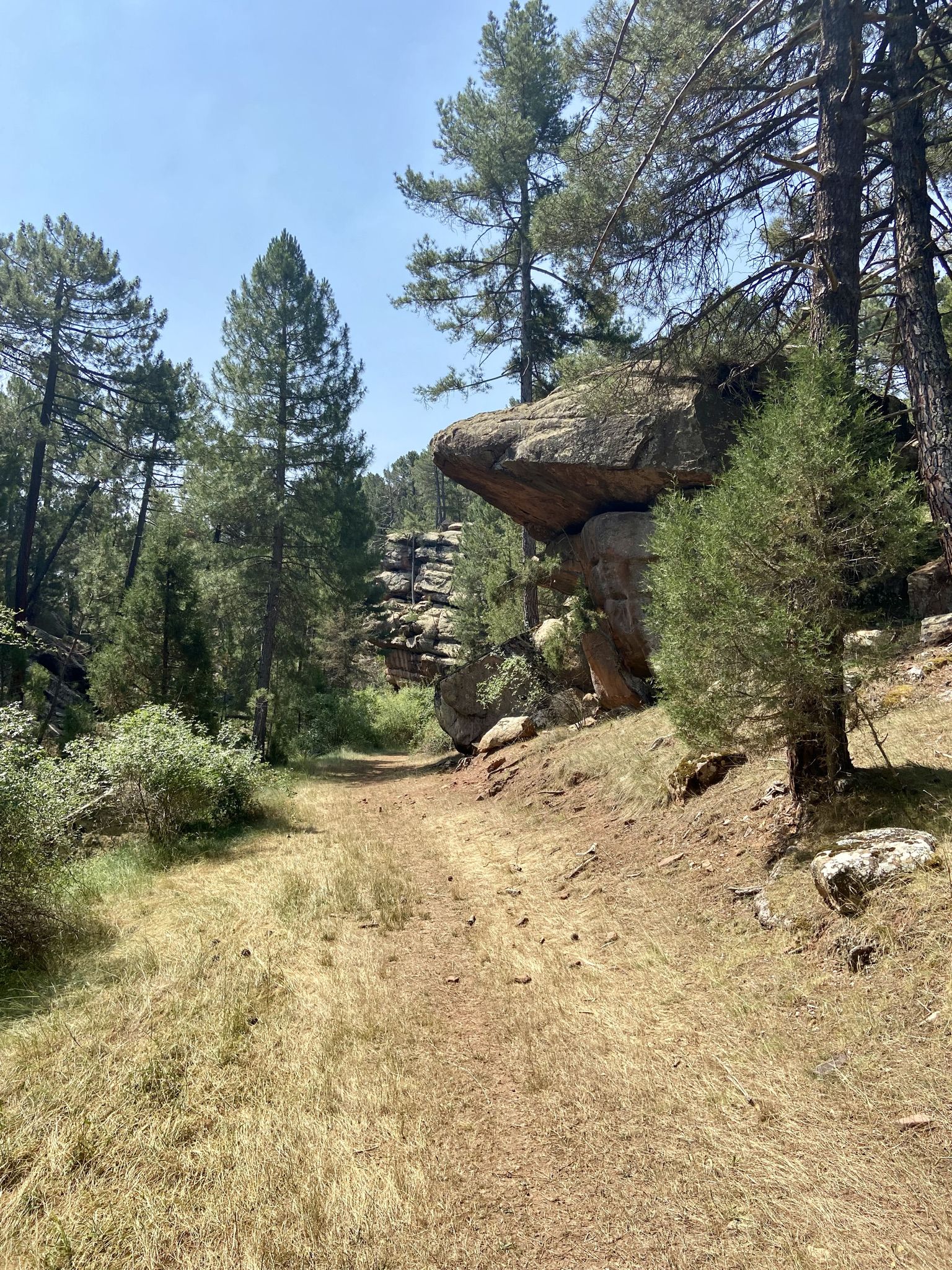
Bus station hiking trails around Sierra de Albarracín offer access to a diverse landscape within the Iberian System. The region features extensive pine forests, notably the Protected Landscape of Los Pinares del Rodeno, characterized by dramatic red sandstone formations. Numerous rivers, including the Tagus and Guadalaviar, carve out rugged canyons and create picturesque waterfalls. Hikers can explore a variety of terrains, from river valleys to higher elevations, providing varied experiences for different skill levels.
Best bus station hiking trails around…
Last updated: July 7, 2026
Hard hike. Very good fitness required. Easily-accessible paths. Suitable for all skill levels.
21.4km
06:17
610m
610m
Hard hike. Very good fitness required. Easily-accessible paths. Suitable for all skill levels.

Sign up for free
4.7
(14)
49
hikers
10.3km
03:03
270m
270m
Moderate hike. Good fitness required. Mostly accessible paths. Sure-footedness required.
4.5
(2)
17
hikers
8.99km
02:43
280m
280m
Moderate hike. Good fitness required. Easily-accessible paths. Suitable for all skill levels.
4.8
(9)
44
hikers
9.17km
02:38
230m
230m
Moderate hike. Good fitness required. Easily-accessible paths. Suitable for all skill levels.
Get access to more routes and recommendations from other explorers.
Sign up for free
Already have an account?
Our route recommendations are based on thousands of hikes, rides, and runs completed by other people on komoot.
Start today with a free account
Your next adventure awaits.
Login or Signup
Popular around Sierra de Albarracín

Hikes from bus stations in Fuente De La Cruz
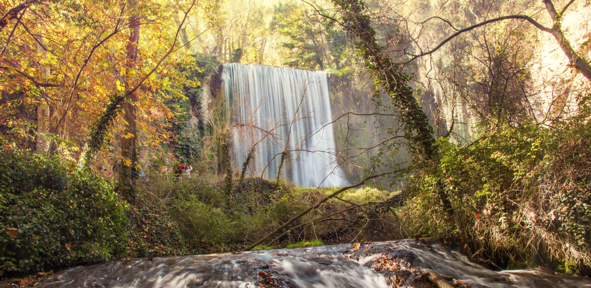
Landscapes of water and rock – Spain’s Jalón and Jiloca Trail (GR 24)

Albarracín to Toledo – Eastern Tagus Nature Trail
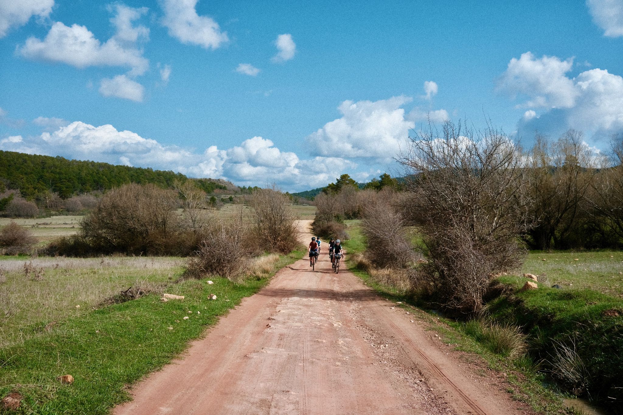
Women's Montañas Vacías 2022 — bikepack in rural Spain

MontañasVacías official — bikepacking across the Spanish Lapland
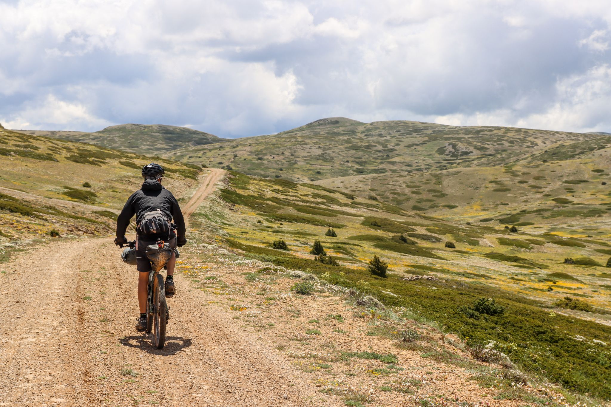
Montañas Vacías — bikepacking the wild and remote 'Empty Mountains'
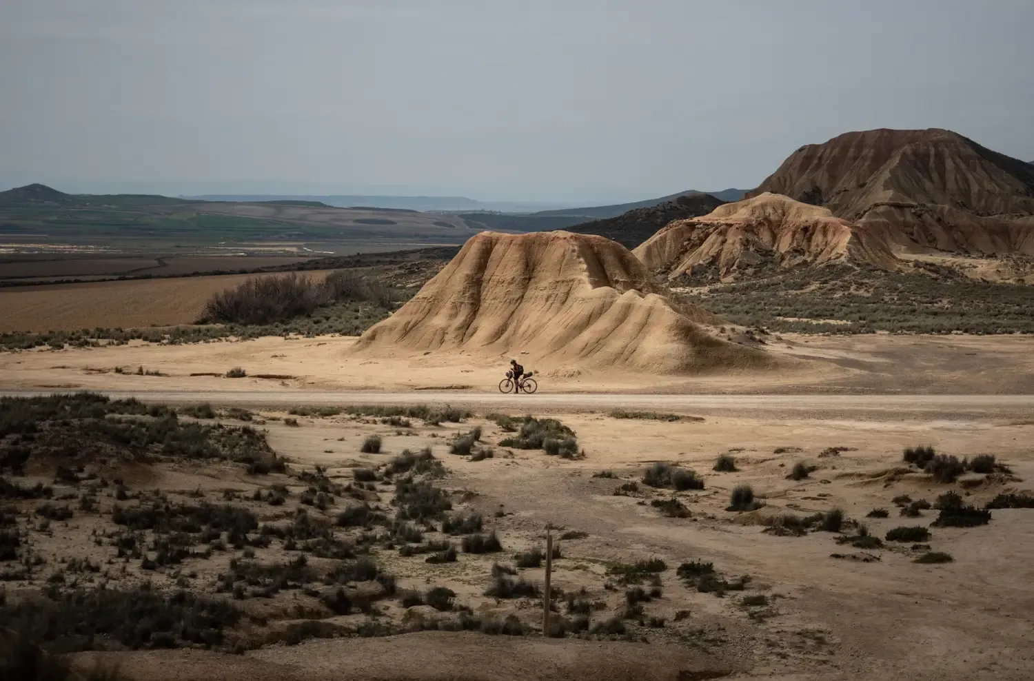
9 mountain biking routes in undiscovered Spain
A journey on the Iberian Peninsula – Tagus Nature Trail
Nature in its purest form – bikepacking in the Sierra de Albarracín
The Three Taifas by gravel bike – El Camino del Cid
Other adventures around Sierra de Albarracín


Tips from the Community

The Molina Gate consists of two massive square towers and a semicircular arch with carved stone keystones. Once through the gate, the defensive system of the city wall becomes visible, with towers and wall sections running stepwise along its length. The two streets leading to the Plaza Mayor,
11
0

Everything about this place is beautiful
0
0
Viewpoint for the church offers a great view over the valley
0
0
Beautiful place, the village, the castle, the church, everything!
0
1

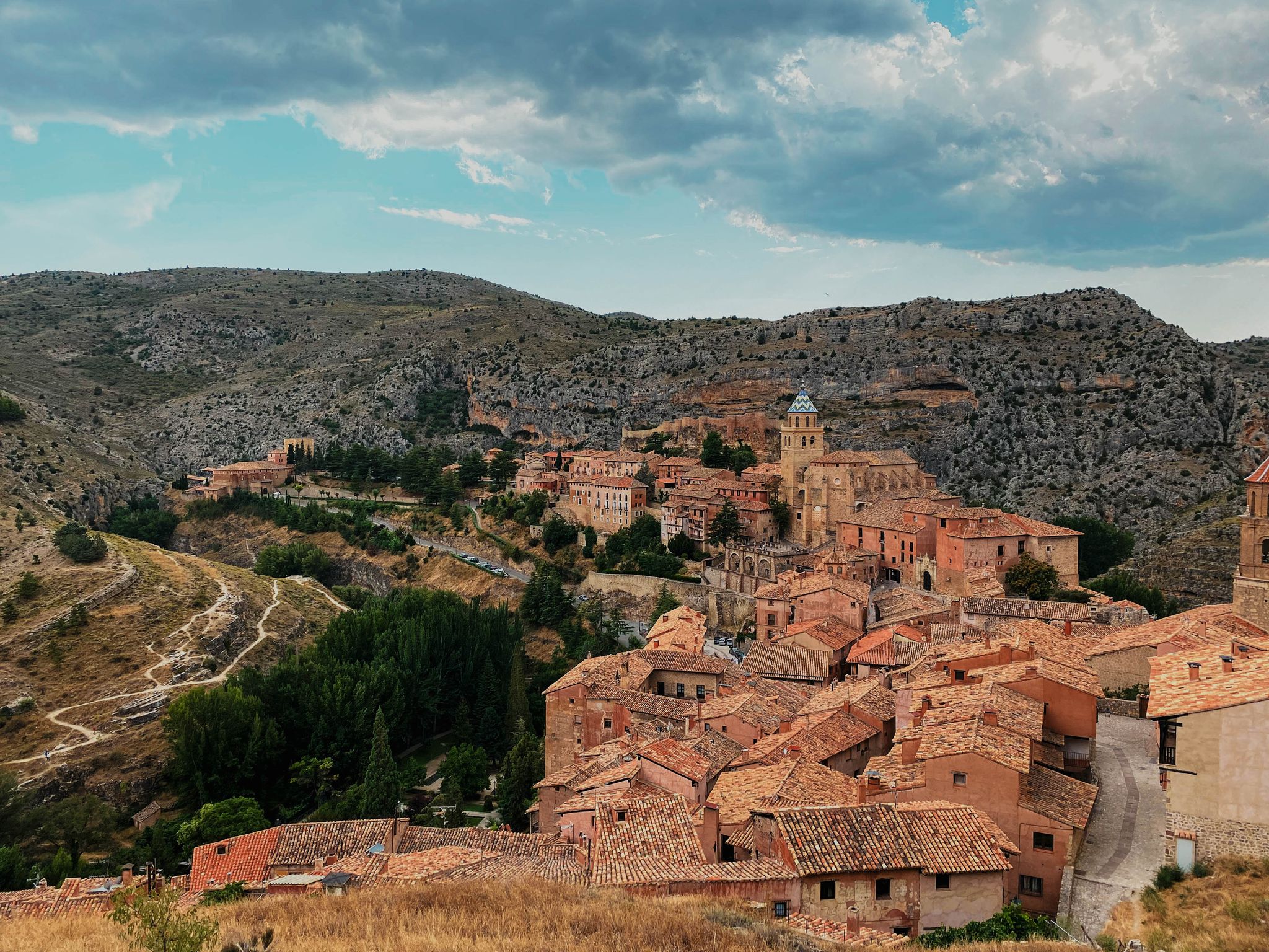
The Cathedral of El Salvador is located in the center of Albarracín, a city known for its challenging terrain, perched on a hill surrounded by the Guadalaviar River gorge. The bell tower is not only a functional element for housing the bells, but also a key component in the cathedral's aesthetics and silhouette.
4
0
The view of the Guadalaviar Ravine in Tramacastilla, within the Sierra de Albarracín, is one of the most spectacular in the area, especially in the section known as Barranco Hondo. This setting combines rugged nature, crystal-clear water, and impressive rock formations.
4
0
The Bull Shelter of Prado del Navazo, also known as Toricos del Navazo, is one of the most prominent sites of Levantine Rock Art in the Sierra de Albarracín (Teruel), and is part of the complex declared a Site of Cultural Interest and World Heritage Site by UNESCO. Naturalistic representations of large bovids are painted in a yellowish-white color, unique in Levantine rock art, which typically uses reddish tones.
4
0
Frequently Asked Questions
How many bus-accessible hiking trails are available in Sierra de Albarracín?
There are over 50 hiking trails in Sierra de Albarracín that are easily accessible from bus stations, catering to various skill levels. You'll find everything from easy strolls to more challenging full-day adventures.
Are there any easy, family-friendly hikes accessible by bus in Sierra de Albarracín?
Yes, several easy routes are perfect for families. For a gentle introduction to the area, consider the Main Square – Albarracín Old Town loop from Albarracín, which offers a pleasant walk around the historic town. The region's diverse landscapes, including pine forests and riverbanks, provide engaging scenery for all ages.
What kind of natural features can I expect to see on bus-accessible hikes?
Sierra de Albarracín is renowned for its striking natural beauty. You'll encounter extensive pine forests, dramatic red sandstone formations, and picturesque river valleys. Many trails follow the sources of major rivers like the Tagus and Guadalaviar, leading to beautiful canyons and occasional waterfalls. The region also boasts the largest juniper forest in Europe.
Are there any circular walks starting directly from a bus station?
Absolutely. Many routes are designed as circular walks, allowing you to start and end at the same point, often conveniently located near bus stops. An excellent example is the Main Square – Portal de Molina, Albarracín loop from Albarracín, which provides a moderate circular experience with great views of the town and surrounding landscape.
Can I find trails with waterfalls or interesting geological features?
Yes, the region is rich in both. The abundance of rivers means you can discover charming waterfalls, such as the Cascada de la Herrería or those along the Straits of the Ebron River. Geologically, the area is famous for its ancient red sandstone formations, especially in the Protected Landscape of Los Pinares del Rodeno, which create unique and visually stunning landscapes. You might also encounter dolinas and lagoons like Laguna de Bezas.
What do other hikers enjoy most about hiking in Sierra de Albarracín?
The area is highly rated by the komoot community, with an average score of 4.5 stars. Reviewers often praise the region's diverse and well-maintained trails, the stunning contrast of red sandstone with green pines, and the charming medieval towns like Albarracín itself. The sense of tranquility and immersion in nature are frequently highlighted.
Are there any dog-friendly trails accessible by public transport?
Many trails in Sierra de Albarracín are suitable for hiking with dogs, provided they are kept under control, especially in areas with wildlife or livestock. Always check local regulations for specific routes. The natural environment with its forests and rivers offers plenty of opportunities for your canine companion to enjoy the outdoors.
What are some longer, more challenging point-to-point hikes accessible by bus?
For those seeking a more demanding adventure, point-to-point routes offer a great challenge. The Tramacastilla - Villar del Cobo via the Barranco del Guadalaviar (PR-TE 1) is a difficult, longer route that can be accessed by bus at both ends, allowing you to traverse significant portions of the landscape without needing to loop back.
Are there any historical or cultural landmarks along the bus-accessible trails?
Yes, the region is rich in history. You can find prehistoric Levantine rock paintings, a UNESCO World Heritage Site, in Pinares de Rodeno. Some trails also pass by sections of an ancient Roman Aqueduct. Additionally, the charming medieval town of Albarracín itself, with its historic architecture and walls, serves as a significant cultural landmark and a great starting point for many hikes.
What is the best time of year to hike in Sierra de Albarracín from bus stations?
The best times for hiking are generally spring (April to June) and autumn (September to October) when the weather is mild and the landscapes are particularly vibrant with wildflowers or autumn colors. Summer can be hot, especially in July and August, while winter offers a different, often snowy, experience, requiring appropriate gear and caution.
Are there any lakes or wild swimming spots accessible from bus routes?
While the region is known for its rivers, there are also several picturesque lagoons. Laguna de Bezas is a notable lake that provides a tranquil setting and is often accessible via trails. Always check local regulations regarding swimming, as some areas may be protected for wildlife.
What are the options for moderate hikes from bus stations?
There are many moderate options for hikers looking for a good challenge without extreme difficulty. The Barranco Mingo Marco – Tufa Bridge on the Río Blanco loop from Frías de Albarracín is a great example, offering a rewarding journey through varied terrain and scenic river views, often accessible from local bus stops.
Most popular routes around Sierra de Albarracín
Most popular attractions around Sierra de Albarracín

Get inspired with the komoot mobile app


Didn’t find what you were looking for?
Check out more Hikes throughout Sierra de Albarracín below and find the perfect route in your destination.
Explore more
Browse the best Hikes in other regions.
