The best running trails around Sierra de Albarracín
5.0
(6)
888
runners
74
runs
Jogging around Sierra de Albarracín offers diverse terrain across mountain ranges, valleys, and canyons, with elevations reaching nearly 2,000 meters. The region features striking red sandstone formations within lush pine forests, particularly in the Pinares de Rodeno Natural Park. Runners can explore routes along crystal-clear rivers and past numerous waterfalls and lagoons, providing varied landscapes for all levels.
Best jogging routes around Sierra de Albarracín
- The most popular jogging route is Barranco del Cabrerizo y Mirador de Peñas Royas –…
Last updated: August 17, 2026
5.0
(1)
13
runners
Moderate run. Good fitness required. Mostly accessible paths. Some sure footedness required.
2
runners
10.7km
01:15
220m
220m
Moderate run. Good fitness required. Mostly paved surfaces. Suitable for all skill levels.

Sign up for free
2
runners
Moderate run. Good fitness required. Mostly accessible paths. Some sure footedness required.
2
runners
4.63km
00:33
100m
100m
Easy run. Great for any fitness level. Mostly paved surfaces. Suitable for all skill levels.
13.0km
01:29
240m
240m
Moderate run. Good fitness required. Mostly paved surfaces. Suitable for all skill levels.
11.4km
01:16
280m
280m
Moderate run. Good fitness required. Mostly paved surfaces. Suitable for all skill levels.
13.4km
01:37
150m
150m
Moderate run. Good fitness required. Mostly paved surfaces. Suitable for all skill levels.
8.85km
01:07
220m
220m
Moderate run. Good fitness required. Mostly paved surfaces. Suitable for all skill levels.
144
runners
29.0km
04:14
1,220m
1,210m
Hard run. Very good fitness required. Mostly paved surfaces. Suitable for all skill levels.
111
runners
22.4km
03:07
870m
870m
Hard run. Very good fitness required. Mostly paved surfaces. Suitable for all skill levels.
Get access to more routes and recommendations from other explorers.
Sign up for free
Already have an account?
Our route recommendations are based on thousands of hikes, rides, and runs completed by other people on komoot.
Start today with a free account
Your next adventure awaits.
Login or Signup
Popular around Sierra de Albarracín
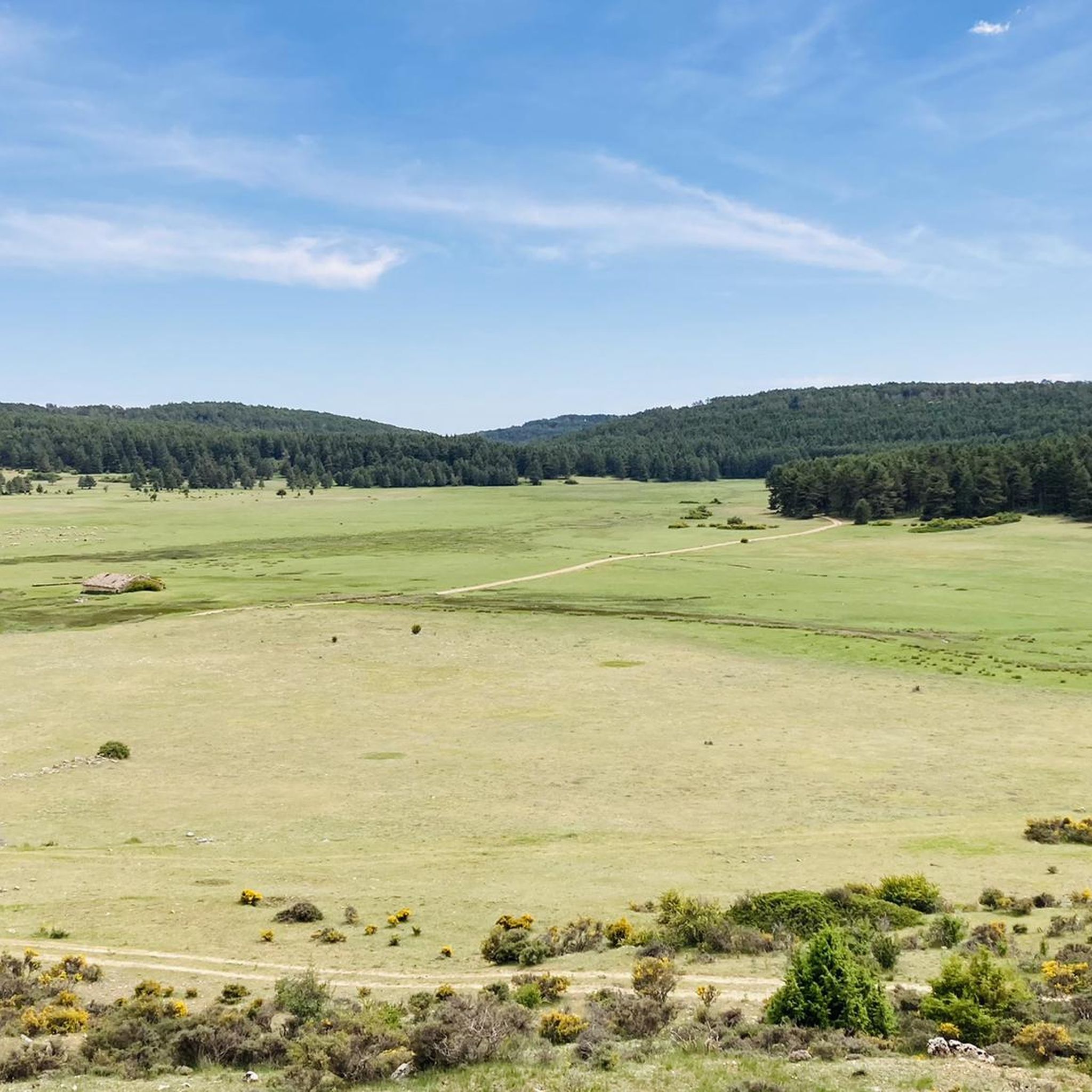
Running Trails around Frías De Albarracín
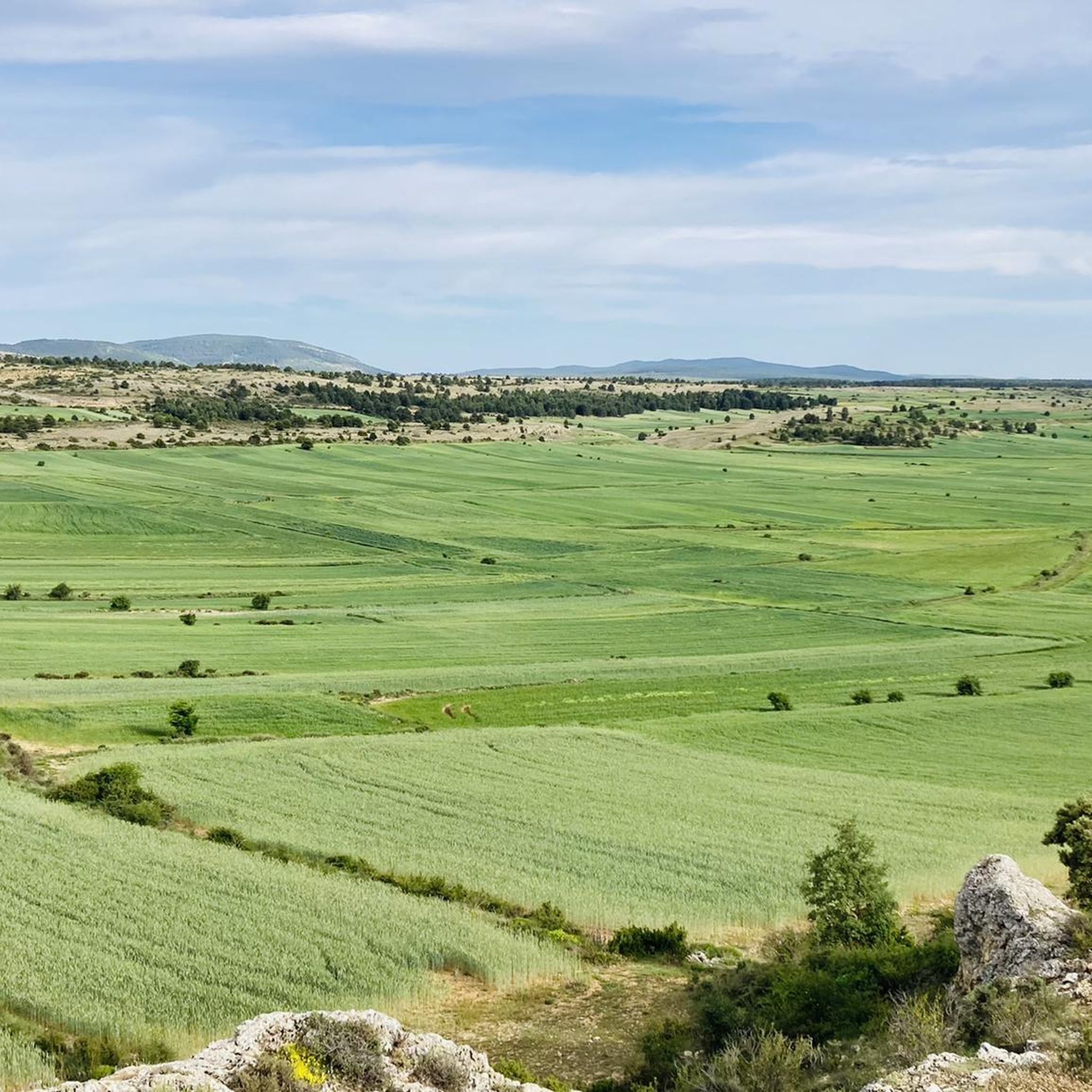
Running Trails around Terriente
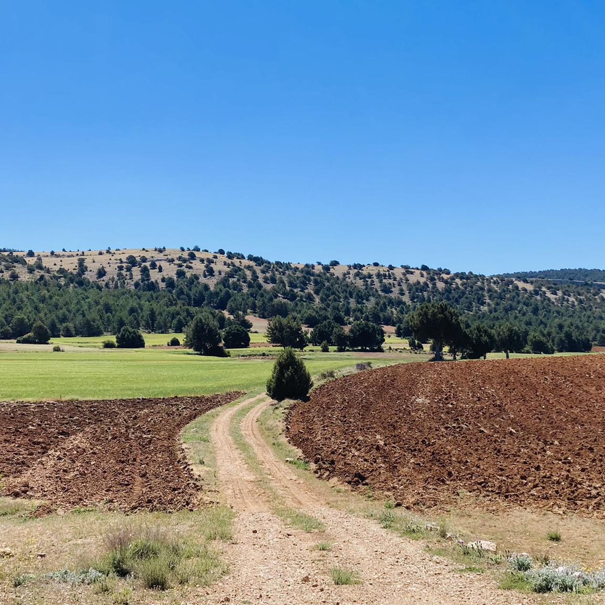
Running Trails around Saldón
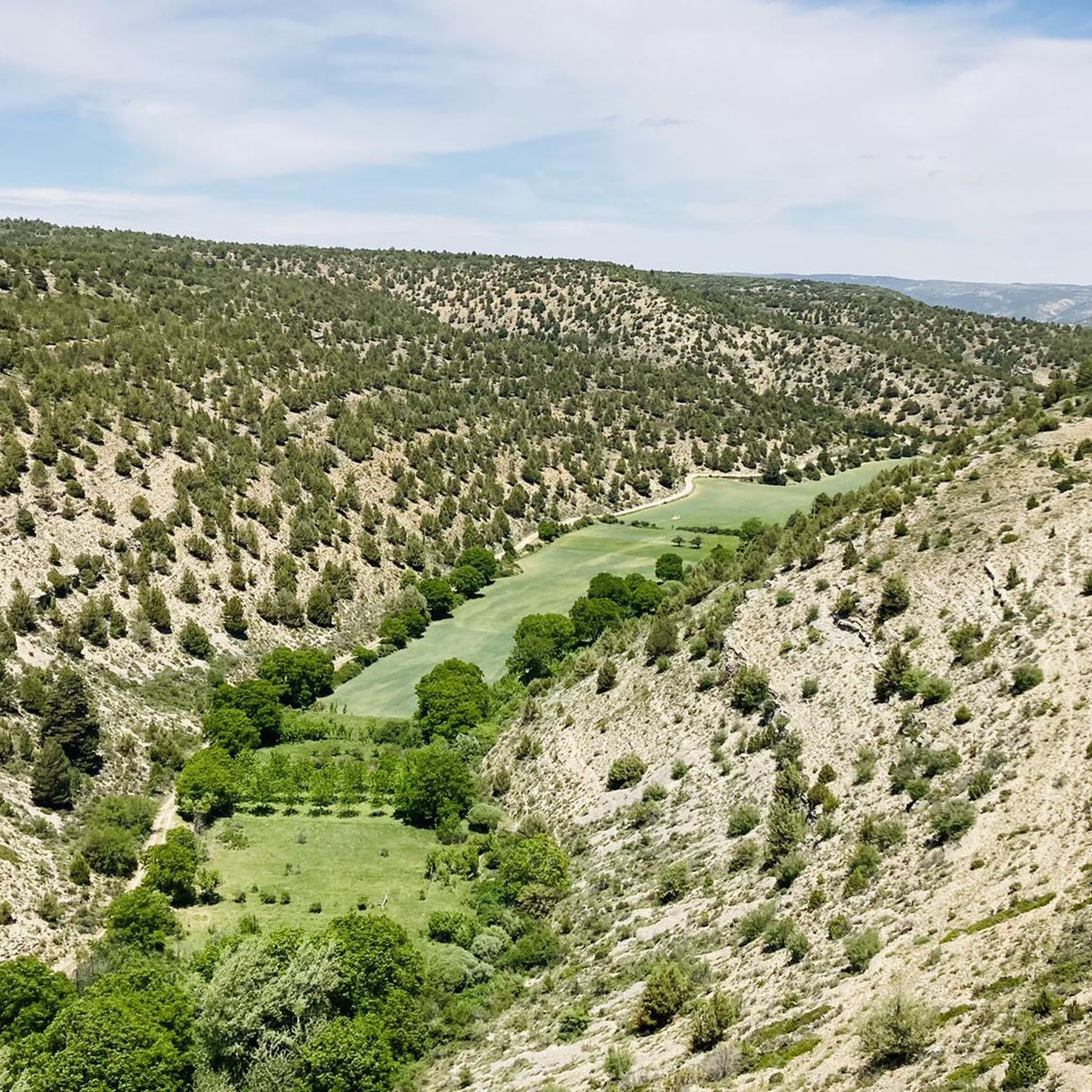
Running Trails around Royuela
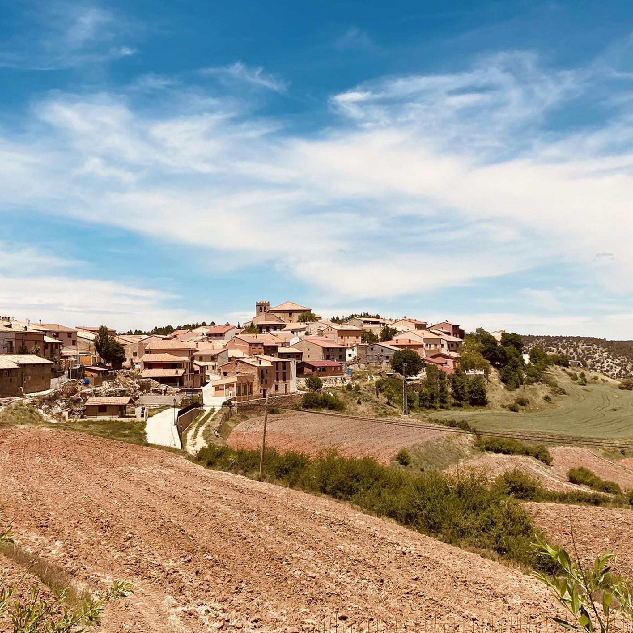
Running Trails around Moscardón
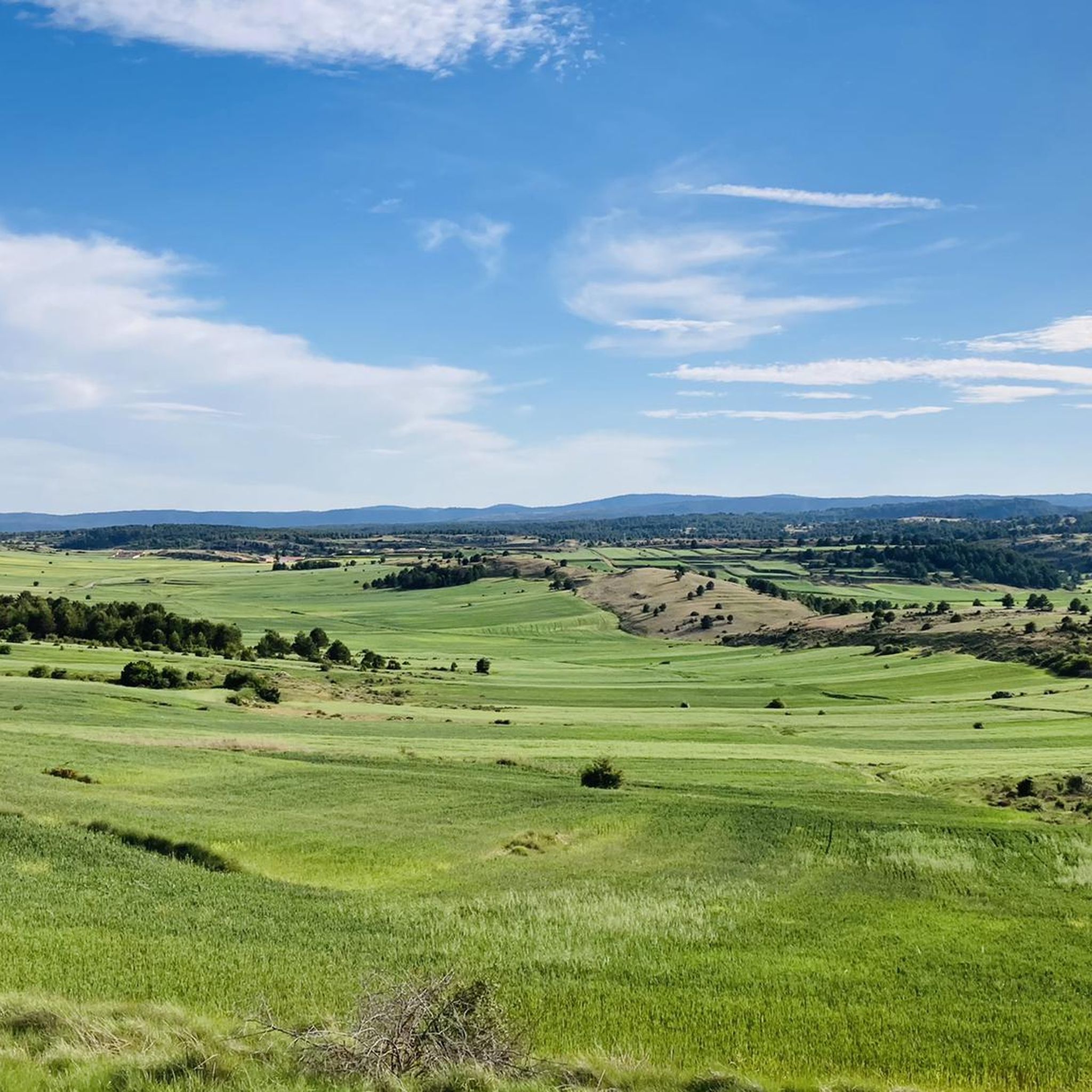
Running Trails around Toril Y Masegoso
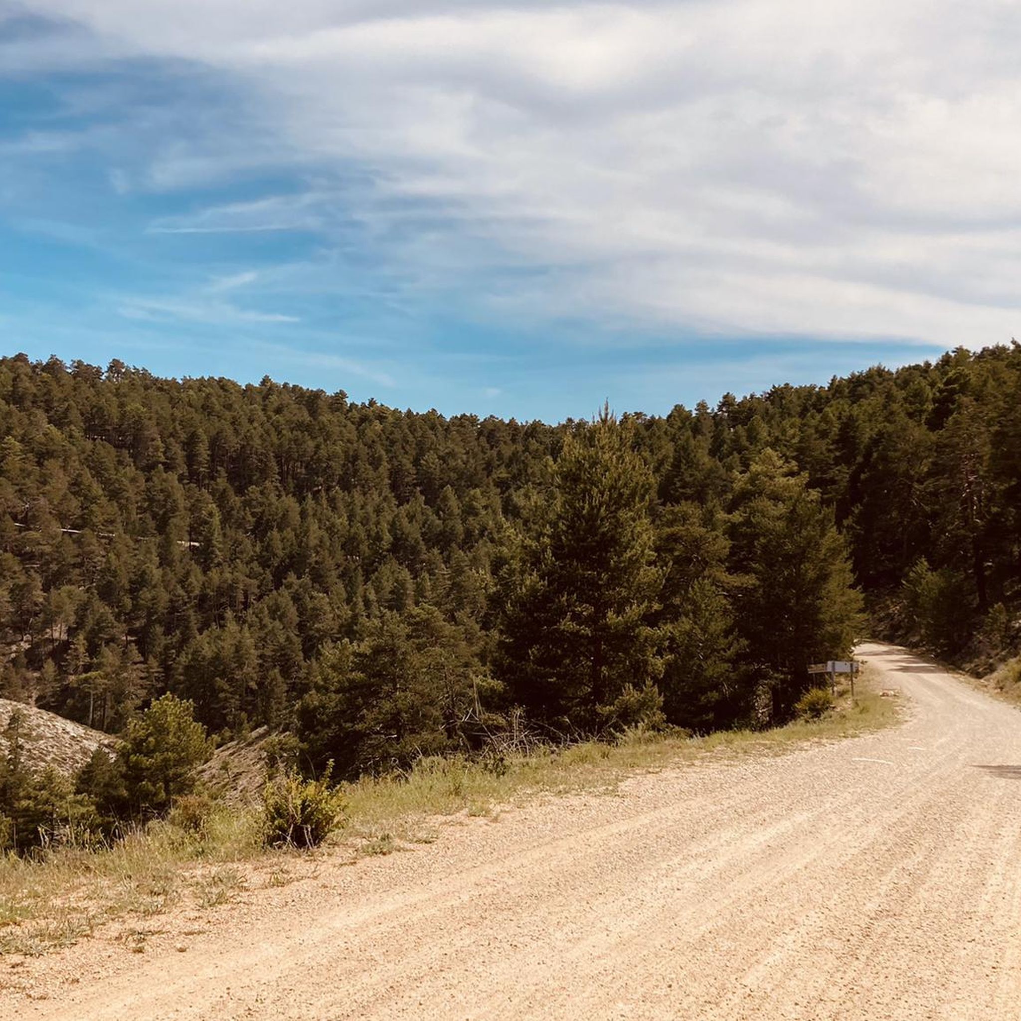
Running Trails around El Vallecillo
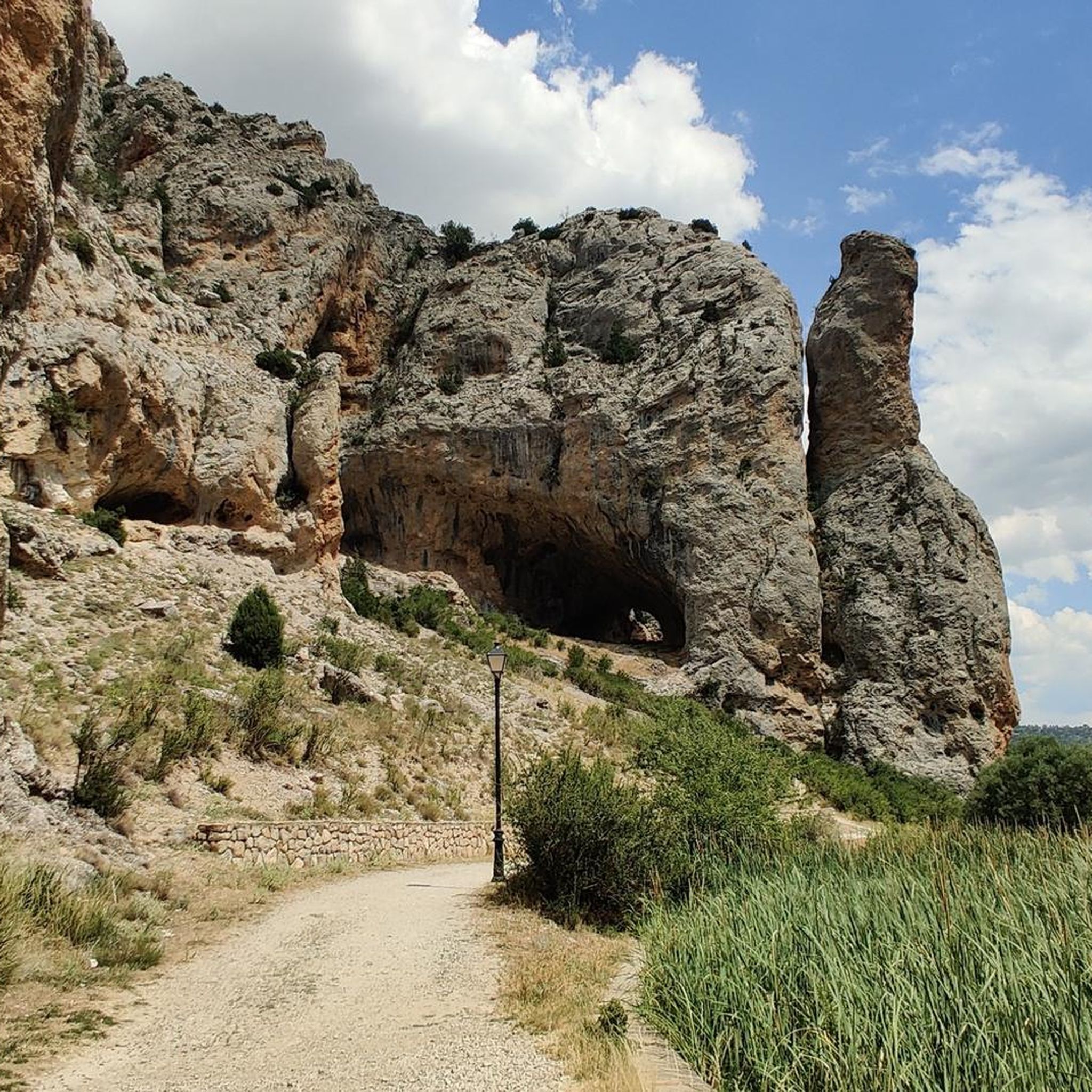
Running Trails around Calomarde
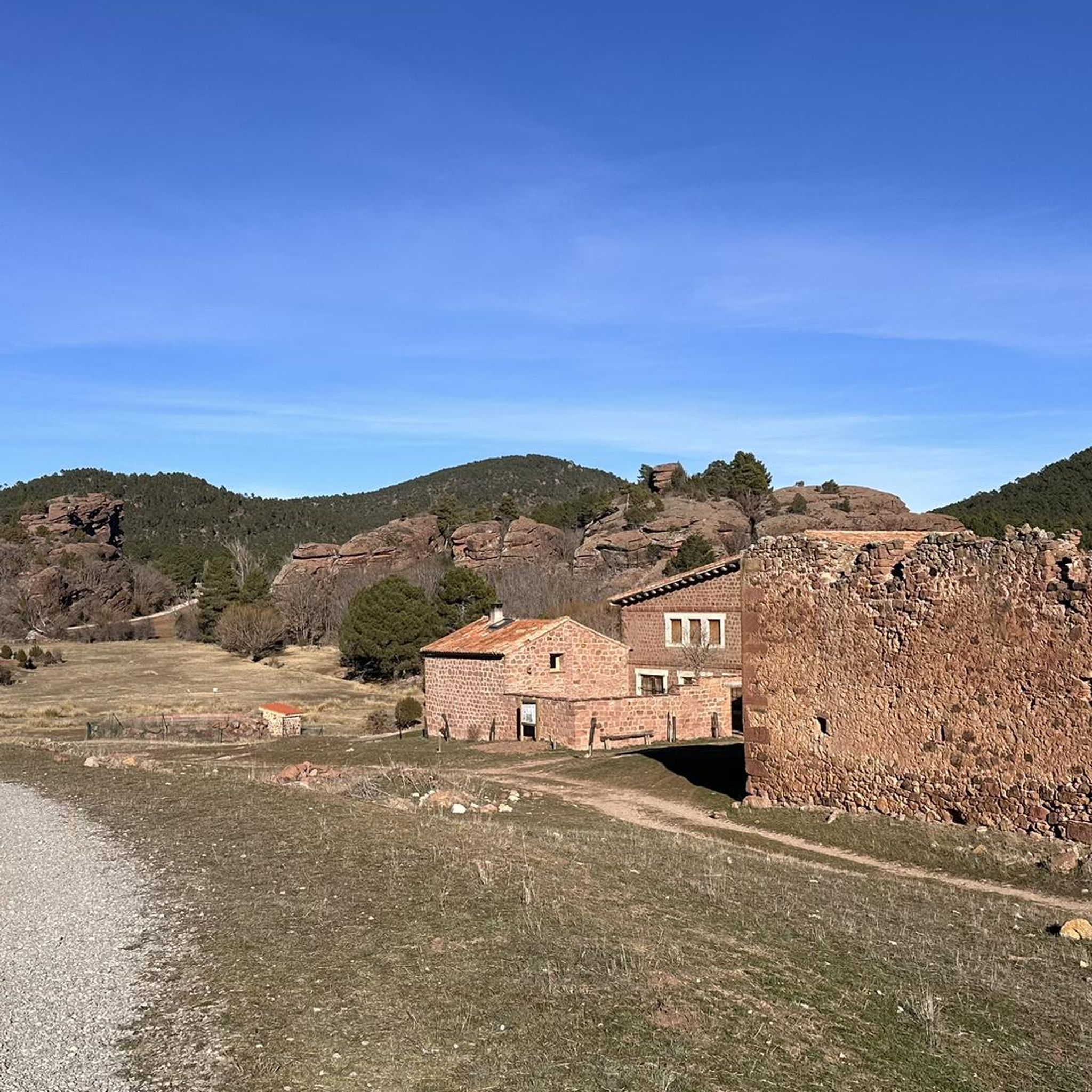
Running Trails around Jabaloyas
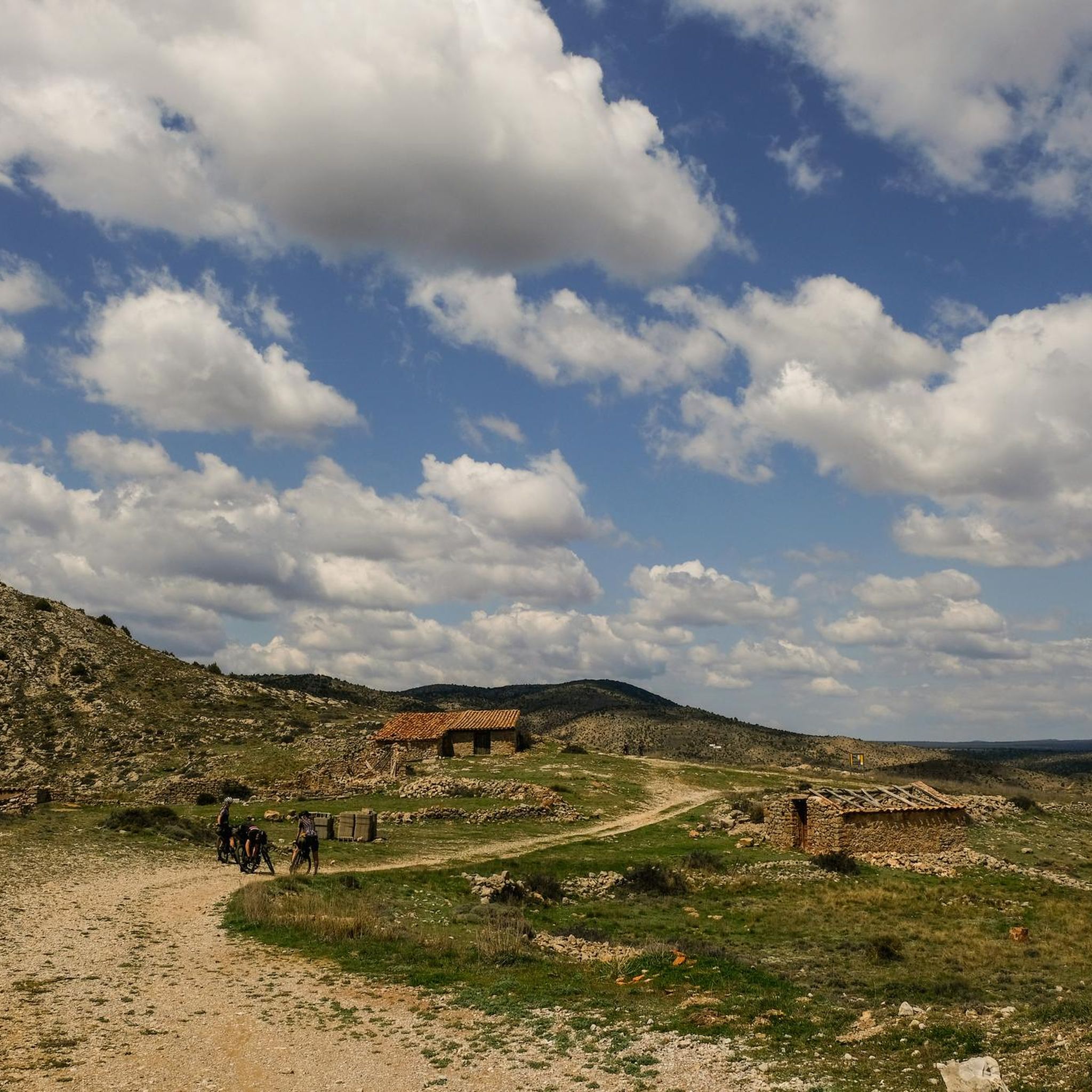
Running Trails around Albarracín
Other adventures around Sierra de Albarracín


Tips from the Community

Ideal place to relax for a while, refill water and contemplate the surrounding nature
0
0

The Enchanted Forest Fountain of Little Witch Brigitta in Bronchales is one of the highlights of the route to this magical corner of the Sierra de Albarracín. It's located on the access road to the Enchanted Forest, about 1.6 km from the town park, just before reaching the fenced area where the magical figures are located.
4
0
The Mirador de la Sierra Alta in Noguera de Albarracín is one of the most spectacular spots in the Sierra de Albarracín, ideal for nature lovers, photographers, and hikers. It is located approximately 1,854 meters above sea level, making it one of the highest points in the area.
4
0
The Peñas Royas Viewpoint is one of the most spectacular spots in the natural surroundings of Albarracín, located within the Pinares de Rodeno Natural Park in the province of Teruel. It is located just a few kilometers from Albarracín's historic center.
4
0
Griegos is a charming village located in the Albarracín mountain range. Griegos is also known for being one of the highest villages in Spain, at 1,601 meters above sea level. It's also a perfect place to enjoy outdoor activities such as horseback riding, hiking, and mountain biking.
25
0
The Cascada de la Herrería is a natural gem located in the Sierra de Albarracín, near the town of El Vallecillo. This beautiful waterfall, also known as the “Hidden Waterfall,” has a drop of approximately 8 meters over the Cabriel River. To reach the waterfall, you can follow a hiking route that begins in El Vallecillo. The route is short, just half a kilometer, and takes you through a varied and picturesque landscape. During the walk, you will also be able to see the natural springs known as the Ojos del Cabriel, which feed the river and the waterfall.
6
0
Griegos is a charming village located in the Serranía de Albarracín. Griegos is also known for being one of the highest villages in Spain, at 1601 meters above sea level. In addition, it is a perfect place to enjoy outdoor activities such as horse riding, hiking and mountain biking.😎🌄🚶♀️🚴🚵
12
0

The access path to the viewpoint has been cemented. This makes access easier for people with mobility problems, but it loses the charm of the mountain path.
1
0
Frequently Asked Questions
What kind of terrain can I expect on the running routes in Sierra de Albarracín?
The Sierra de Albarracín offers a diverse range of terrain for runners. You'll find routes traversing mountain ranges, valleys, and canyons, with elevations reaching nearly 2,000 meters. A significant feature is the distinctive red sandstone formations within lush pine forests, particularly in the Pinares de Rodeno Natural Park. Expect a mix of tracks, paths, and more challenging trails through dense pine, oak, and juniper forests, as well as areas with exposed rock.
Are there any easy or family-friendly running routes in the Sierra de Albarracín?
Yes, there are routes suitable for all levels, including easier options. For instance, the Dornaque to Peña del Hierro Viewpoint Trail is an easy 4.6 km route that takes you through pine forests and past red sandstone formations, leading to the Peña El Hierro Viewpoint. This route is ideal for families or those looking for a less strenuous run.
Can I find circular jogging routes in the Sierra de Albarracín?
Absolutely. Many of the running paths in the region are circular, allowing you to start and end at the same point. A popular choice is the Barranco del Cabrerizo y Mirador de Peñas Royas, an 11.3 km circular trail through the unique Pinares de Rodeno. Another excellent option is the Mirador del Alto de las Peñas – circular from Terriente, which offers varied terrain and panoramic views.
Are there any running routes that feature waterfalls or other water elements?
The Sierra de Albarracín is rich in water features. You can enjoy runs alongside rivers and past beautiful waterfalls. The Ojos del Cabriel and Cascada del Molino de San Pedro route is a moderate 7.5 km path that features scenic water sources and the Cascada de la Herrería waterfall, also known as the “Hidden Waterfall.” The region also boasts impressive spots like the Cascada de Calomarde and tranquil lagoons such as Laguna de Noguera.
What are some notable landmarks or viewpoints I can discover while running in the area?
The Sierra de Albarracín offers numerous points of interest and stunning viewpoints. While running, you might encounter the unique red sandstone formations of Pinares de Rodeno Natural Park, which also holds historical significance with prehistoric Levantine rock paintings. Panoramic vistas can be enjoyed from viewpoints like the Mirador de Peñas Royas and Mirador del Cabrerizo. Additionally, you can explore the charming Albarracín Old Town or the Portal de Molina.
What do other runners say about the jogging routes in Sierra de Albarracín?
The running routes in Sierra de Albarracín are highly regarded by the komoot community, with an average rating of 5.0 stars from numerous reviews. Runners often praise the stunning and varied natural landscapes, the unique red sandstone formations, and the well-maintained trails that cater to different ability levels. Many appreciate the untouched nature and tranquility the region offers.
Are there any long-distance or challenging running routes for experienced trail runners?
Yes, the Sierra de Albarracín provides challenging options for experienced runners, with many routes exceeding 1,200 meters in altitude and some approaching 2,000 meters. For a significant challenge, consider the Bronchales Town Center – Sierra Alta Summit loop from Bronchales, a difficult 29 km route with substantial elevation gain, offering an excellent high-altitude training experience.
What is the best time of year to go jogging in Sierra de Albarracín?
The Sierra de Albarracín is generally pleasant for jogging during spring, early summer, and autumn. These seasons offer milder temperatures and vibrant natural scenery. While the region can be an excellent high-altitude training area, be mindful of higher temperatures in peak summer and potential snow or colder conditions in winter, especially at higher elevations.
Are there any specific running routes that offer views of the Gea valley?
Yes, several viewpoints in the Sierra de Albarracín provide panoramic vistas, including views of the Gea valley. Routes passing through areas like the Mirador de Peñas Royas or Mirador del Cabrerizo are likely to offer these scenic outlooks, allowing you to enjoy the expansive landscapes while you run.
How many jogging routes are available in the Sierra de Albarracín region?
There are over 50 dedicated jogging routes available in the Sierra de Albarracín, catering to a wide range of fitness levels. These include easy paths, moderate trails, and more difficult routes for experienced runners, ensuring there's something for everyone.
Can I find places to rest or take shelter along the running routes?
Yes, the region has some facilities that can be useful for runners. You might find shelters or picnic areas, such as the Forest Shelter and Picnic Area by the Tagus River. There are also various huts and refuges like the La Portera Refuge and Viewpoint or El Collado Refuge, which can offer a place to rest or take a break.
Are there any running routes that pass through areas with rich biodiversity?
The Sierra de Albarracín is known for its well-preserved nature and diverse wildlife. Many running routes, especially those through dense pine, oak, and juniper forests, offer opportunities to observe local fauna. You might spot deer, wild boars, and various bird species, enhancing the natural immersion of your run.
Most popular routes around Sierra de Albarracín
Most popular attractions around Sierra de Albarracín

Get inspired with the komoot mobile app


Didn’t find what you were looking for?
Check out more Running Trails & Routes throughout Sierra de Albarracín below and find the perfect route in your destination.
Explore more
Browse the best Running Trails & Routes in other regions.
