The best MTB trails around Sierra de Albarracín
4.6
(69)
1,230
riders
113
rides
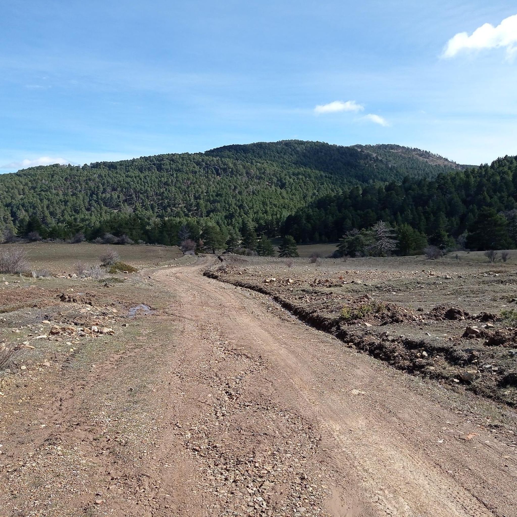
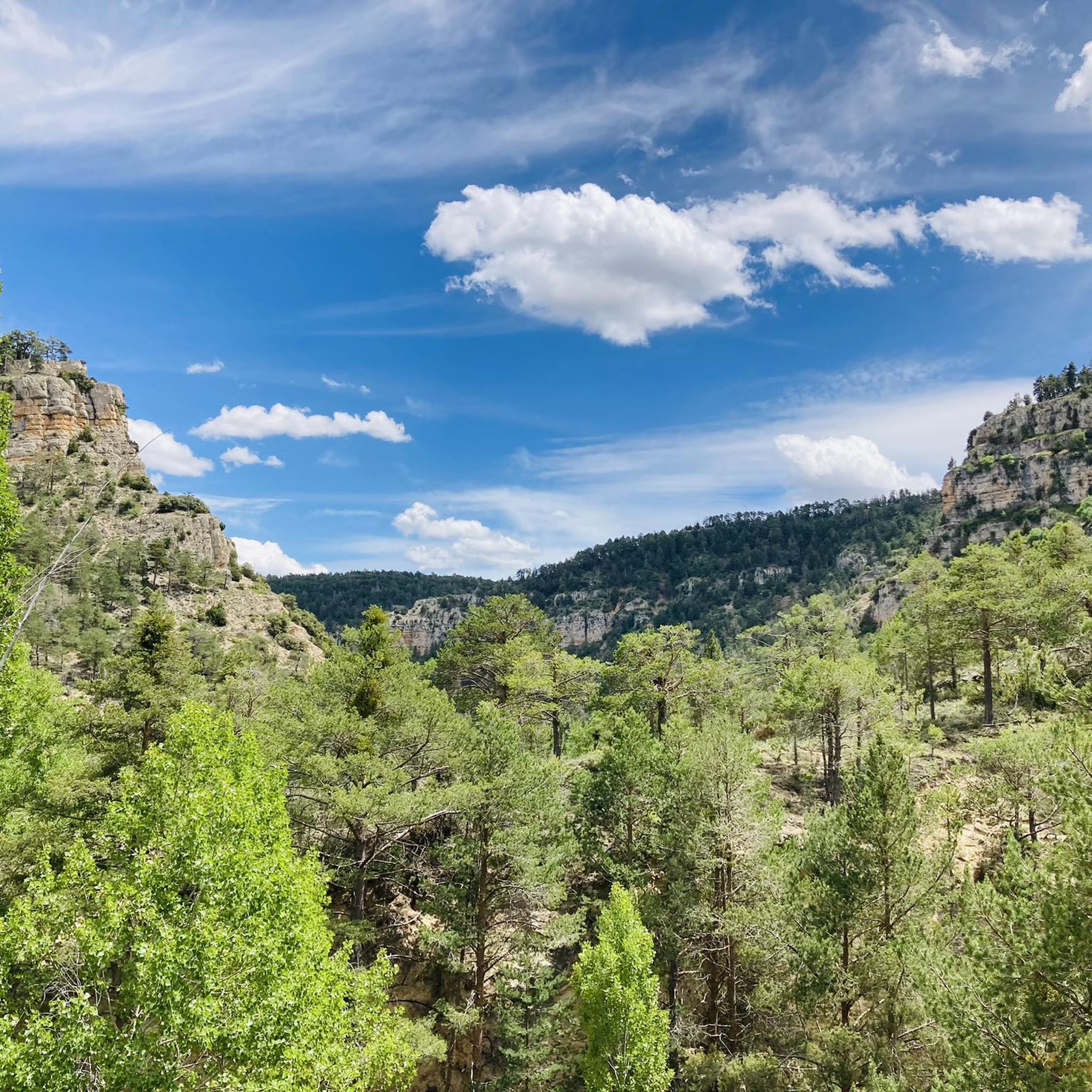
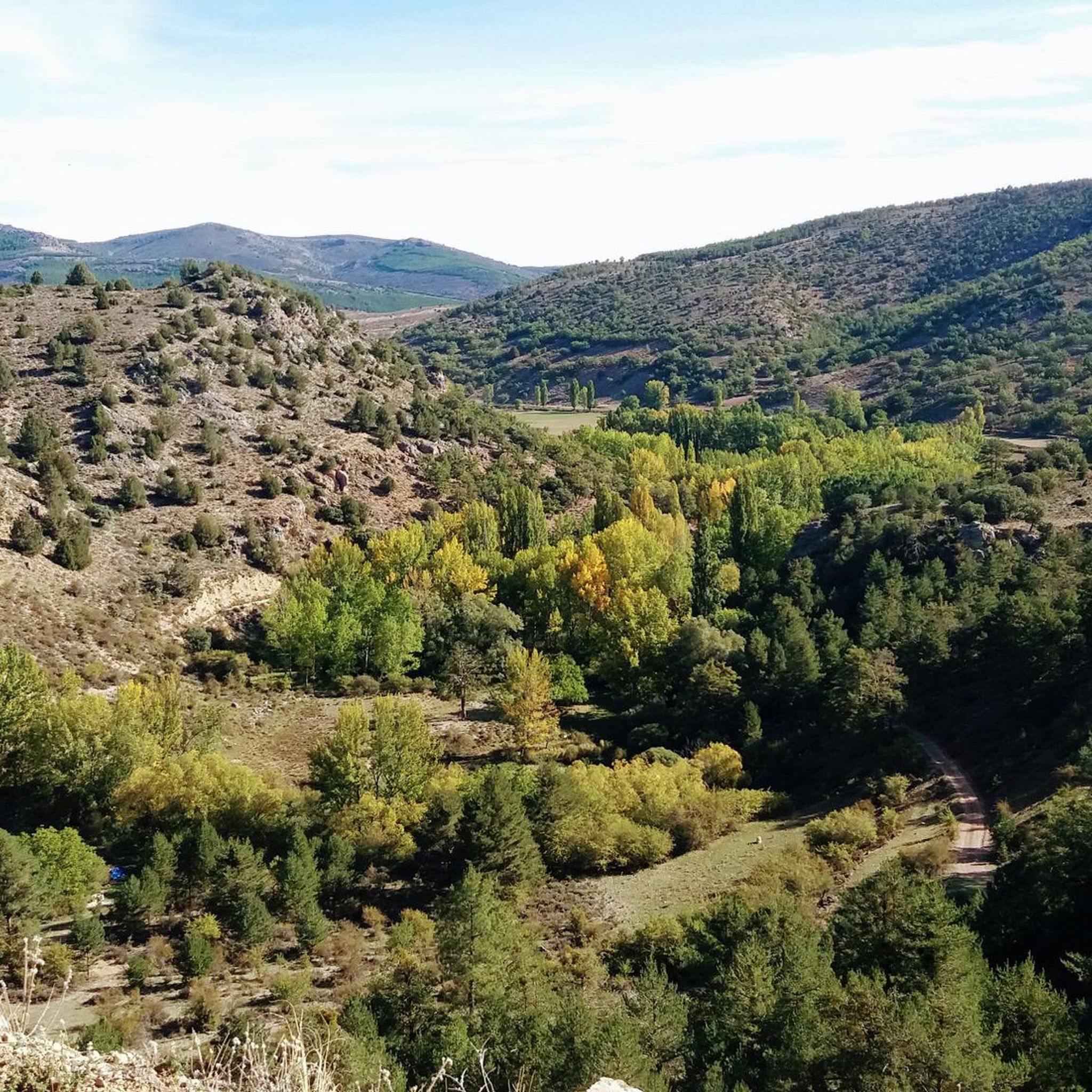
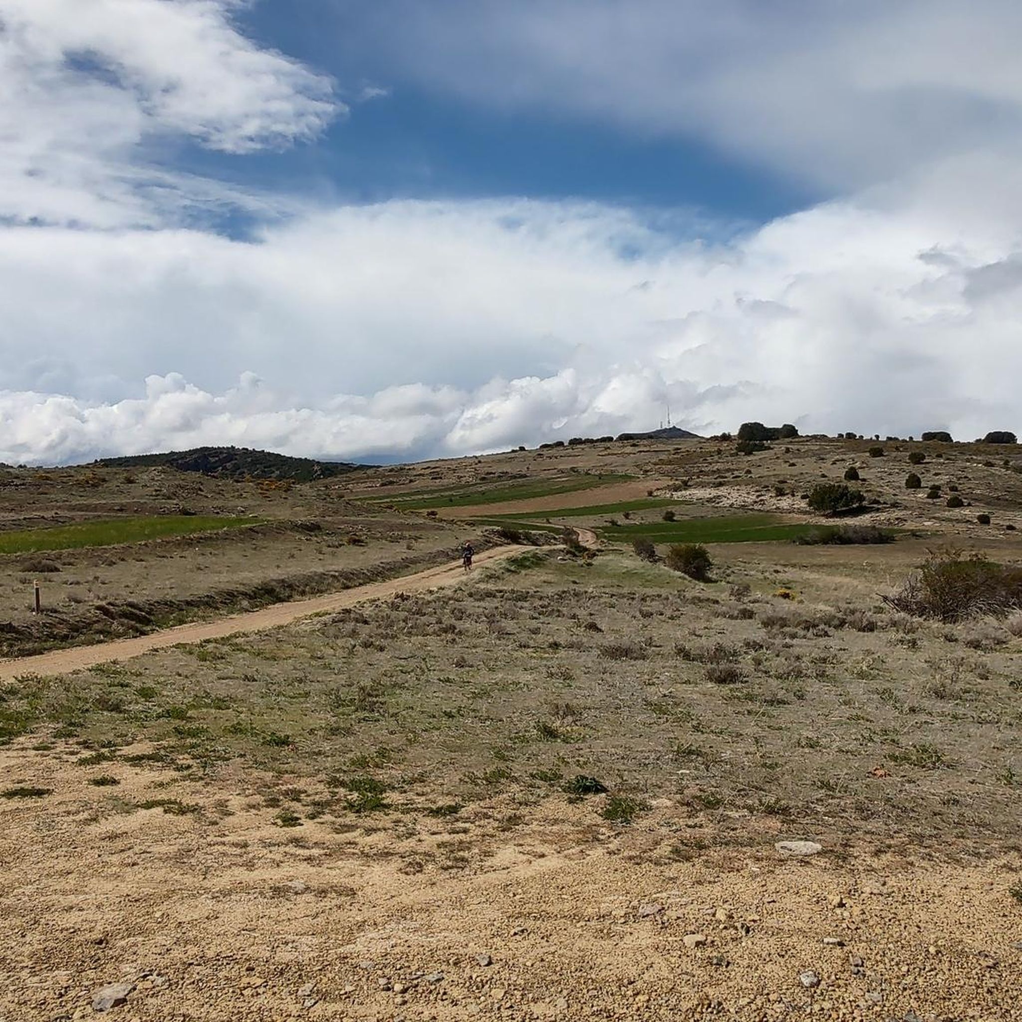
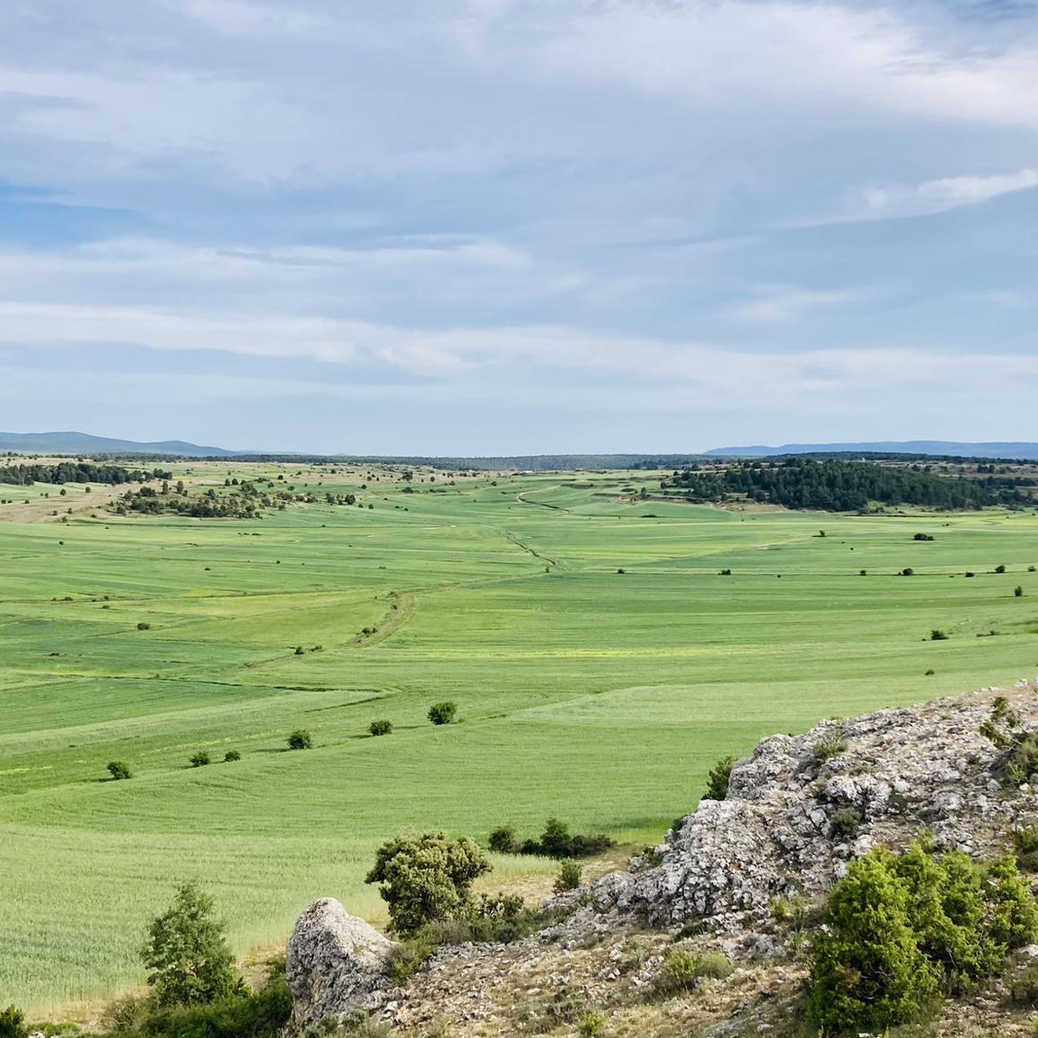
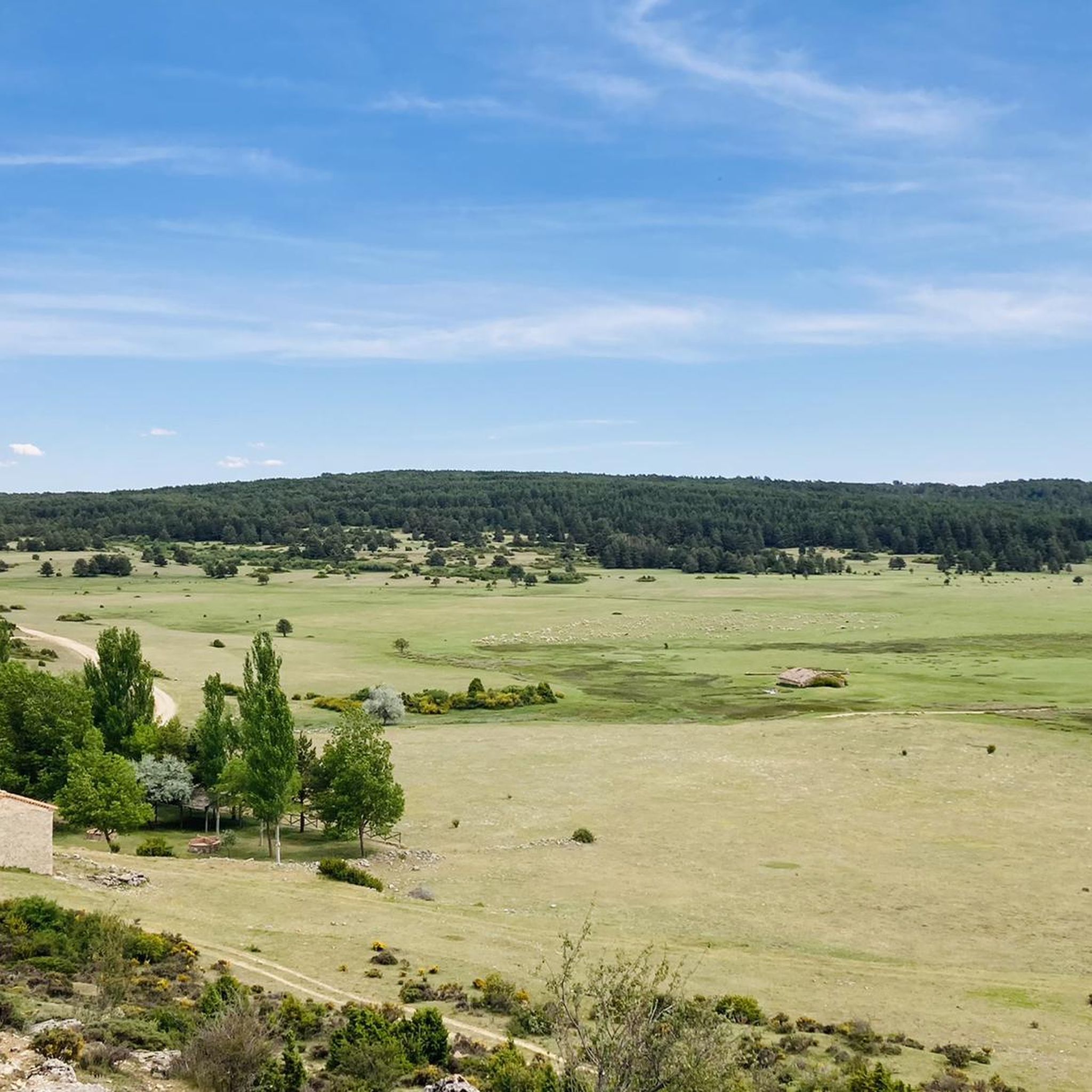
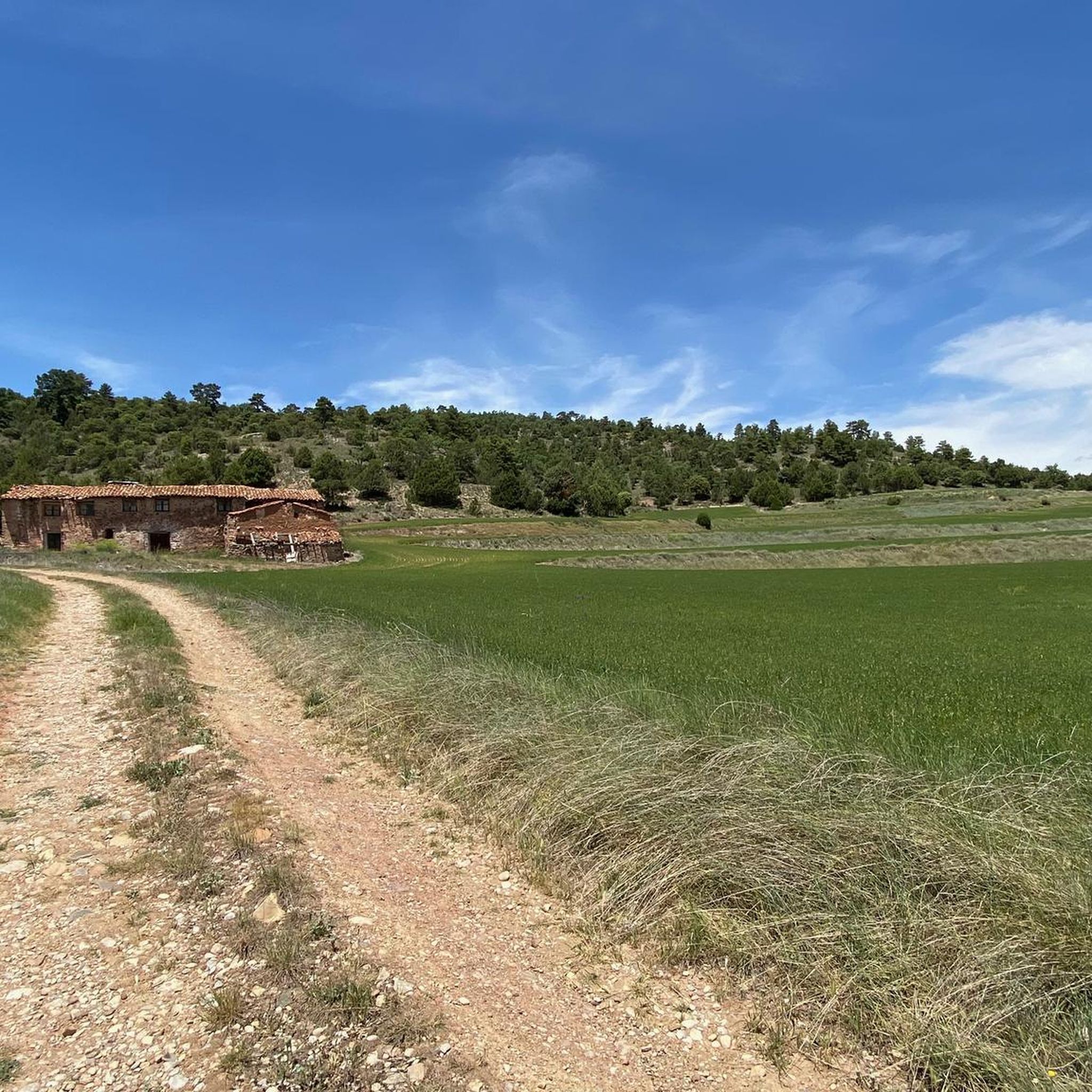
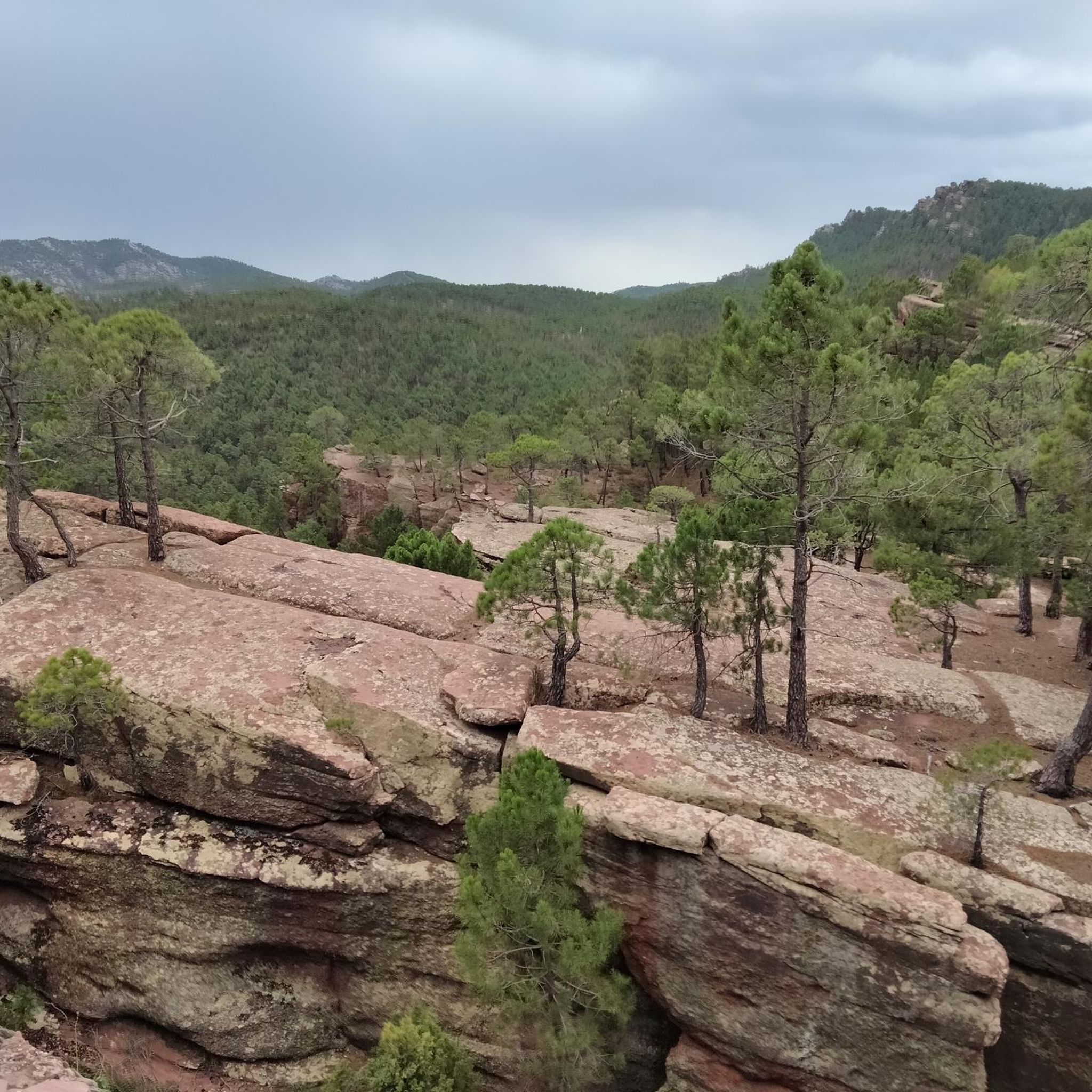
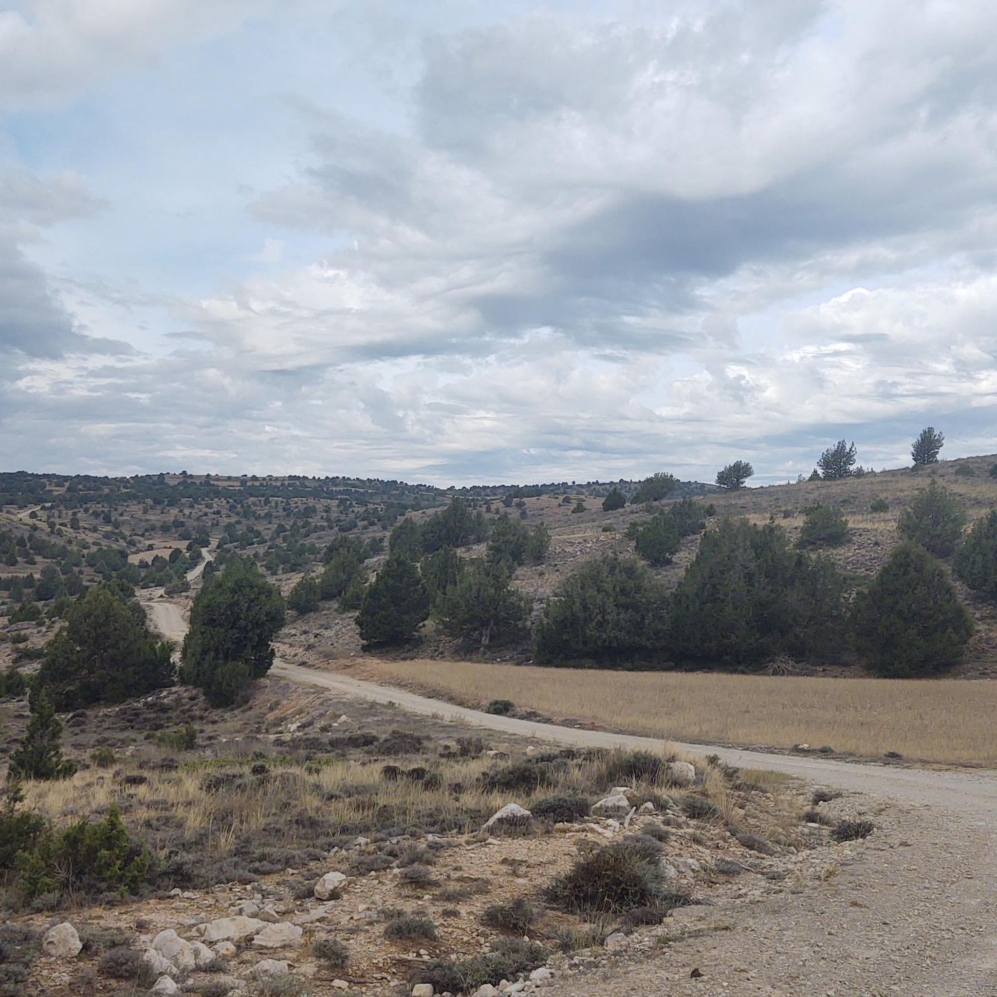
Mountain biking around Sierra de Albarracín offers diverse and rugged natural landscapes, making it an exceptional destination for outdoor activities. The region features extensive pine, oak, and juniper forests, with prominent red sandstone formations, particularly in the Protected Landscape of Los Pinares del Rodeno. The varied terrain includes areas of sandstone, limestone, and calcareous rock, alongside numerous springs and rivers like the source of the Tagus. These MTB routes in Sierra de Albarracín provide a range of challenges across its…
Last updated: June 23, 2026
5.0
(2)
93
riders
35.0km
03:32
810m
810m
Moderate mountain bike ride. Good fitness required. Advanced riding skills necessary.
4.1
(9)
36
riders
23.9km
02:17
570m
570m
Moderate mountain bike ride. Good fitness required. Advanced riding skills necessary.

Sign up for free
3.5
(2)
16
riders
30.0km
03:08
720m
720m
Hard mountain bike ride. Good fitness required. Advanced riding skills necessary. Some portions of the route may require you to push your bike.
5.0
(1)
14
riders
Moderate mountain bike ride. Good fitness required. Advanced riding skills necessary.
5.0
(1)
6
riders
42.1km
04:01
720m
720m
Moderate mountain bike ride. Good fitness required. Advanced riding skills necessary.
5.0
(1)
3
riders
40.5km
03:52
900m
900m
Hard mountain bike ride. Very good fitness required. Advanced riding skills necessary.
76.7km
06:22
990m
990m
Hard mountain bike ride. Very good fitness required. Advanced riding skills necessary.
4.5
(2)
3
riders
26.2km
02:34
550m
550m
Moderate mountain bike ride. Good fitness required. Advanced riding skills necessary.
31.0km
02:53
590m
590m
Moderate mountain bike ride. Good fitness required. Advanced riding skills necessary.
2
riders
29.4km
02:41
640m
640m
Moderate mountain bike ride. Good fitness required. Advanced riding skills necessary.
Get access to more routes and recommendations from other explorers.
Sign up for free
Already have an account?
Our route recommendations are based on thousands of hikes, rides, and runs completed by other people on komoot.
Start today with a free account
Your next adventure awaits.
Login or Signup
Popular around Sierra de Albarracín
Other adventures around Sierra de Albarracín


Tips from the Community

A small puddle that is under nature protection ;-)
0
0

This shelter serves as a resting place and even as a place to spend the night during hikes. The surrounding area features stone tables and benches where you can sit and eat while enjoying the surroundings.
10
0

The official source of water is located at Fuente de García, in the Montes Universales, within the municipality of Frías de Albarracín (Teruel). It is located at an altitude of approximately 1,590 meters, surrounded by pine forests and high mountain meadows. Access is very easy and well signposted. Take the A-1704 highway, which connects Frías de Albarracín with Huélamo (Cuenca). From the highway, a paved detour of approximately 2 km takes you directly to the recreational area and the monument. There is free parking next to the monument.
10
0
Access is very easy and well signposted. Take the A-1704 highway, which connects Frías de Albarracín with Huélamo (Cuenca). From the highway, a paved detour of approximately 2 km takes you directly to the recreational area and the monument. There is free parking next to the monument.
5
0
The official source is located at Fuente de García, in the Montes Universales, within the municipality of Frías de Albarracín (Teruel). It is located at an altitude of approximately 1,590 meters, surrounded by pine forests and high mountain meadows.
5
0
It is a reference to the place where the longest river in Spain originates, stretching over 1,000 km and flowing into neighboring Portugal. These statues symbolize this point in the Albarracín mountain range.
8
0
The Mirador de la Sierra Alta in Noguera de Albarracín is one of the most spectacular spots in the Sierra de Albarracín, ideal for nature lovers, photographers, and hikers. It is located approximately 1,854 meters above sea level, making it one of the highest points in the area.
4
0
The Peñas Royas Viewpoint is one of the most spectacular spots in the natural surroundings of Albarracín, located within the Pinares de Rodeno Natural Park in the province of Teruel. It is located just a few kilometers from Albarracín's historic center.
4
0
Frequently Asked Questions
How many mountain bike trails are available in Sierra de Albarracín?
There are over 110 mountain bike trails in Sierra de Albarracín, offering a wide range of options for different skill levels and preferences.
What kind of terrain can I expect on mountain bike trails in Sierra de Albarracín?
You can expect diverse and rugged natural landscapes. The terrain varies from extensive pine, oak, and juniper forests to areas with unique red sandstone formations, particularly in the Protected Landscape of Los Pinares del Rodeno. You'll also encounter limestone and calcareous rock, as well as river valleys and high-mountain areas.
Are there easy mountain bike trails suitable for beginners in Sierra de Albarracín?
Yes, Sierra de Albarracín offers a few easy mountain bike trails suitable for beginners. While most routes are moderate, there are options to get started and enjoy the scenery at a more relaxed pace.
Are there challenging mountain bike routes for experienced riders?
Absolutely. For experienced riders seeking a challenge, there are over 40 difficult mountain bike routes in Sierra de Albarracín. These trails often feature technical sections and significant elevation changes, such as the Montes Universales — circular desde Bronchales, which includes nearly 900 meters of ascent.
Can I find mountain bike routes that pass by waterfalls in Sierra de Albarracín?
Yes, the region is known for its beautiful waterfalls. You can explore routes like the Ojos del Cabriel, Herrería and San Pedro Waterfalls Loop, which takes you past several impressive water features. Other notable waterfalls include the Herrería Waterfall and the Batida Waterfall (of Calomarde).
Are there mountain bike trails that explore the unique red sandstone formations?
Yes, the red sandstone formations are a defining feature of the region. The Albarracín Cave Paintings Loop and the Pinares de Rodeno and Laguna de Bezas Loop are excellent choices for experiencing these distinctive landscapes, often adorned with ancient rock art.
What natural landmarks can I see while mountain biking in Sierra de Albarracín?
Beyond the red sandstone formations, you can discover numerous springs and water sources, including the source of the Tagus (Tajo) river. The region also features several lagoons like Laguna de Noguera, Laguna de Bezas, and Laguna de Rubiales, which are important habitats. The canyons and gorges of the Guadalaviar river also offer beautiful natural scenery.
Are there circular mountain bike routes in Sierra de Albarracín?
Many of the mountain bike routes in Sierra de Albarracín are circular, allowing you to start and end in the same location. Examples include the Bronchales Sierra Alta — circular por la Sierra de Albarracín and the Birth of the Rio Guadalaviar — circular through the Montes Universales from Griegos.
Are there any cultural or historical sites accessible by mountain bike in the region?
Yes, the Sierra de Albarracín region is rich in history and culture. Routes like the Albarracín Cave Paintings Loop pass by ancient rock art sites. The town of Albarracín itself, with its traditional architecture and medieval squares, is a significant cultural highlight that many routes connect to or pass near.
What do other mountain bikers say about the trails in Sierra de Albarracín?
The mountain bike trails in Sierra de Albarracín are highly rated by the komoot community, with an average score of 4.5 stars from 67 reviews. Over 1,100 mountain bikers have explored the varied terrain, often praising the unique landscapes, from lush forests to technical high-mountain areas, and the sense of peace and solitude the region offers.
What is the best time of year for mountain biking in Sierra de Albarracín?
Sierra de Albarracín offers good mountain biking conditions for much of the year. Spring and autumn generally provide the most pleasant temperatures for riding. Summers can be warm, especially at lower elevations, while winters can bring colder temperatures and snow in higher mountain areas, which might limit access to some trails.
Is it possible to bring my dog on mountain bike trails in Sierra de Albarracín?
While many outdoor areas in Spain are dog-friendly, it's always best to check specific regulations for each trail or protected area within Sierra de Albarracín. Some natural parks or reserves may have rules regarding dogs, especially concerning wildlife protection. Always keep your dog under control and clean up after them.
Most popular routes around Sierra de Albarracín
Most popular attractions around Sierra de Albarracín

Get inspired with the komoot mobile app


Didn’t find what you were looking for?
Check out more MTB trails throughout Sierra de Albarracín below and find the perfect route in your destination.
Explore more
Browse the best MTB trails in other regions.
