The best traffic-free bike rides around Arraute-Charritte
5.0
(1)
18
riders
2
rides
Gravel biking around Arraute-Charritte offers access to a landscape characterized by rolling hills, farmland, and interspersed forests within the Pyrénées-Atlantiques department. The region, part of the broader Basque Country, features a modest elevation range locally, with proximity to more varied topography. Cyclists can explore hidden country roads, flowing gravel tracks, and quiet backroads. The Bidouze river forms part of its northeastern border, contributing to the diverse natural setting.
Best no traffic gravel bike trails around Arraute-Charritte
- The most popular no…
Last updated: July 6, 2026
5.0
(1)
5
riders
83.4km
05:28
920m
920m
Hard gravel ride. Very good fitness required. Mostly paved surfaces. Suitable for all skill levels.
2
riders
45.2km
03:37
1,060m
1,060m
Hard gravel ride. Very good fitness required. Mostly paved surfaces. Suitable for all skill levels.

Sign up for free
3
riders
85.3km
06:13
1,490m
1,490m
Hard gravel ride. Very good fitness required. Mostly paved surfaces. Suitable for all skill levels.
2
riders
34.1km
02:30
560m
560m
Hard gravel ride. Very good fitness required. Mostly paved surfaces. Suitable for all skill levels.
2
riders
25.2km
01:44
390m
390m
Moderate gravel ride. Good fitness required. Mostly paved surfaces. Suitable for all skill levels.
Our route recommendations are based on thousands of hikes, rides, and runs completed by other people on komoot.
Start today with a free account
Your next adventure awaits.
Login or Signup
Popular around Arraute-Charritte
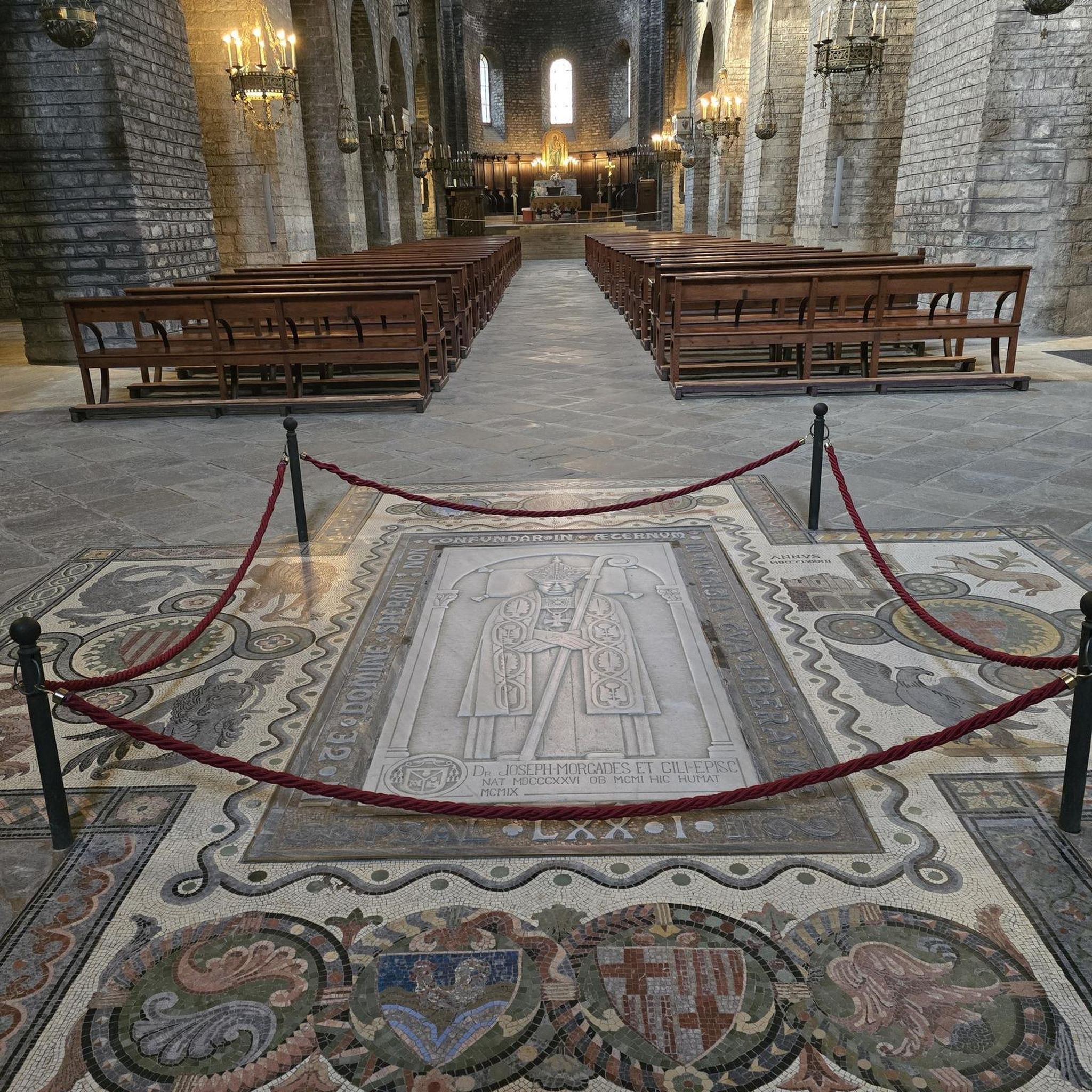
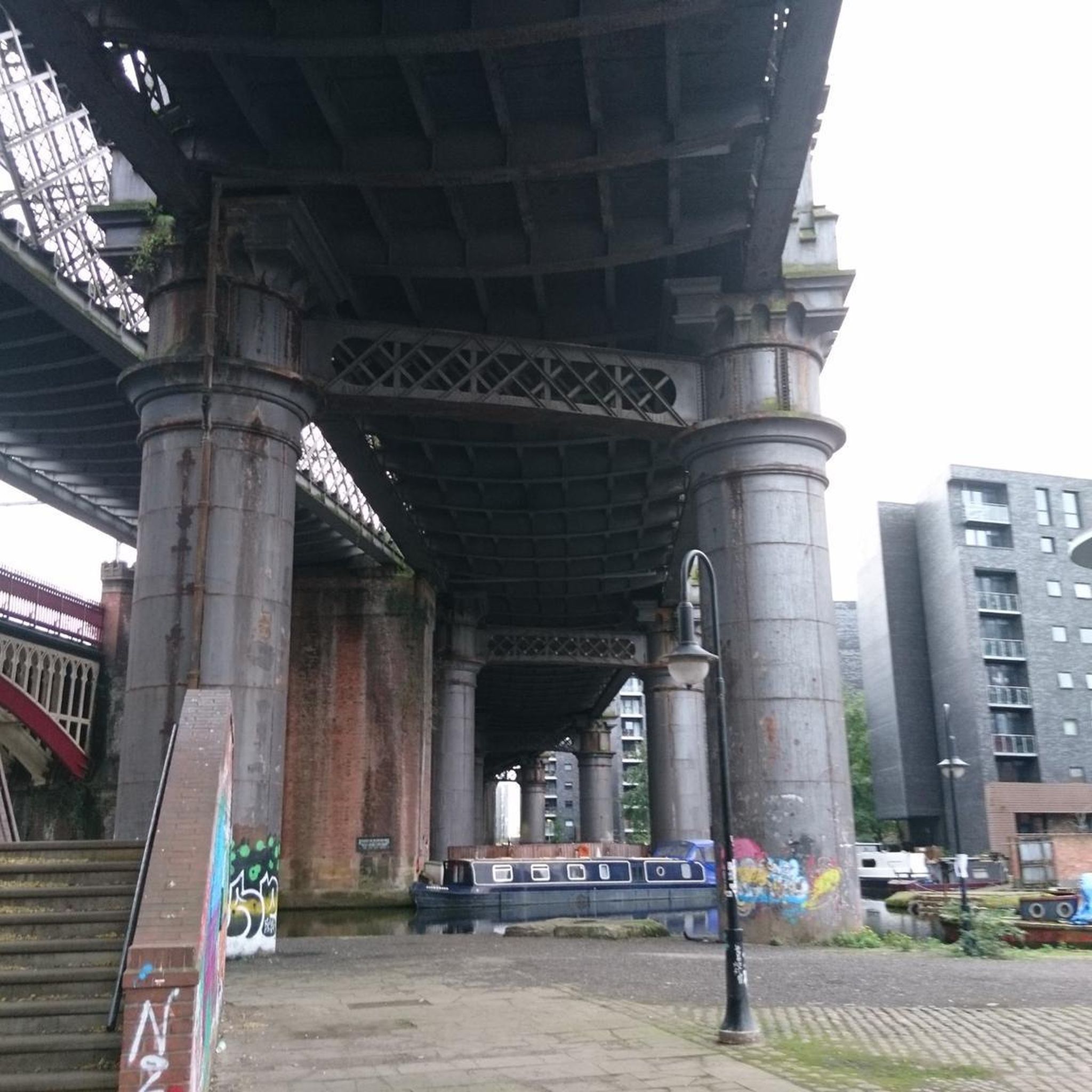
Tips from the Community

Considered the little Béarn Venice, Salies-de-Béarn is mainly known for its saltwater spring. The town reveals an old centre with narrow streets and atypical houses.
0
0

## The tunnel The tunnel, located between the Puyoô and Salies-de-Béarn stations, is one of the significant structures on line n° 662.000 connecting Puyoô to Mauléon. It is a single-track tunnel 848.5 m long and 5.00 m wide between the abutments. The height under the crown is 6.00 m. It is a multi-radius arch. The structure is generally oriented North-South, with a curve of R400 m for the first 250 meters on the North side, then a straight section to the South end. The longitudinal profile has a constant gradient of 0.01 m/m from the North. A central aqueduct equips the structure along its entire route. The maximum cover is 49 m. The tunnel is built in the Campanian flysch (Upper Cretaceous). The construction of the tunnel (1879-1883) was carried out from two headings via shafts approximately 35 m deep, located at PM219 and PM632. The shafts were retained as ventilation shafts. The masonry thicknesses (limestone rubble set in lime mortar) vary from 0.50 m to 1.20 m. The length of the tunnel, initially projected at 400 m, was increased to 787 m following the decision to lower the profile (from 20‰ to 16‰). During construction, ground instabilities encountered during the excavation of access trenches led to a further extension of the structure, which finally reached a length of 848.5 m. Numerous ground instabilities (landslides) caused significant delays in the progress of the work. The tunnel was electrified in 1930 and the overhead line equipment was removed in 1971.
0
0

A really beautiful cycle path on an old railway line. It is completely asphalted and is therefore a wonderful ride and there are one or two bridge highlights to admire along the way.
2
0
Very nice little house made of Lego in a broken corner of the wall
1
0


The small village of Saint-Palais is located at the crossroads of the three Basque provinces of Labourd, Basse Navarre and Soule. Former capital of Navarre, the village has managed to preserve its traditions and its authentic culture.
1
0
Frequently Asked Questions
What kind of terrain can I expect on no-traffic gravel bike trails around Arraute-Charritte?
The region around Arraute-Charritte offers a diverse landscape ideal for gravel biking. You'll find a mix of quiet country roads, flowing gravel tracks, and serene forest paths. While Arraute-Charritte itself has modest elevation, its proximity to the broader Basque Country means you can access routes with rolling hills and more varied topography, providing both leisurely rides and challenging climbs.
Are there any family-friendly or beginner-level no-traffic gravel routes?
While many routes in the immediate vicinity are rated as more challenging, the broader Basque Country, which Arraute-Charritte is part of, features options like the Salies-de-Béarn Greenway. This rehabilitated old railway line offers a pleasant, traffic-free cycling experience, often suitable for families and beginners looking for smoother, dedicated paths.
What are some notable landmarks or attractions I can see along these quiet gravel routes?
Several routes offer scenic points of interest. For example, the Tunnel – Château de Gramont de Bidache loop from Bidache passes by the impressive Gramont Castle in Bidache. Another route, the Saint-Palais – Viellenave bridge and mill loop from Ayherre, features the historic Viellenave bridge and mill. You might also encounter other charming bridges, like the Bridge over the Bidouze in Villemante.
Are there any circular gravel bike routes available?
Yes, many of the gravel routes in the area are designed as loops, allowing you to start and finish at the same point. For instance, the Eglise de Succos | ZBP Divide – Saint-Palais loop from Amendeuix-Oneix and the Kleines Legohaus – Saint-Palais loop from Amendeuix-Oneix are both excellent circular options for exploring the quiet countryside.
What is the best time of year to go gravel biking in Arraute-Charritte?
The region is generally pleasant for gravel biking from spring through autumn. Spring brings lush greenery and comfortable temperatures, while autumn offers beautiful foliage. Summers can be warm, but the forested sections and quiet country roads provide shade. Winter riding is possible, but be prepared for cooler, potentially wetter conditions, especially on unpaved tracks.
What are the typical distances and elevation gains for gravel bike routes in this area?
The no-traffic gravel routes around Arraute-Charritte vary significantly. You can find shorter rides, such as the Kleines Legohaus – Saint-Palais loop from Amendeuix-Oneix, which covers about 25 km with around 390 meters of elevation gain. Longer, more challenging options like the Saint-Palais – Viellenave bridge and mill loop from Ayherre can extend to over 85 km with more than 1300 meters of climbing, offering a full day's adventure.
Are there any routes that offer views of the Pyrenees mountains?
While Arraute-Charritte itself is in a lower-lying area, many routes in the wider region and from nearby vantage points, such as the village of Bardos, offer panoramic views of the majestic Pyrenees mountain range. Keep an eye out for these stunning backdrops as you explore the quiet gravel roads.
What kind of natural features can I expect to encounter on these trails?
The gravel trails often traverse a landscape of farmland interspersed with forests, particularly in the northeastern and northwestern parts of the commune. You'll ride alongside the Bidouze river in some areas and pass through picturesque villages. The region's rural charm means you'll be immersed in nature, with opportunities to enjoy serene woodlands and open countryside.
Are there any specific routes for advanced gravel bikers looking for a challenge?
Yes, several routes are rated as 'difficult' due to their length and significant elevation gain. For instance, the Isturits – Ruins of the Château d'Ayherre loop from Ayherre covers over 45 km with more than 1000 meters of ascent, providing a substantial workout on quiet tracks. These routes are perfect for experienced riders seeking a demanding, traffic-free experience.
Where can I find parking for these gravel bike trails?
Many of the routes are loops that start and end in villages like Bidache or Ayherre. These villages typically offer public parking facilities, often near the starting points of the trails. It's advisable to check local parking options in the specific village you plan to start your ride from.
Most popular routes around Arraute-Charritte
Most popular attractions around Arraute-Charritte

Get inspired with the komoot mobile app


Explore more
Browse the best Gravel rides in other regions.
