The best cycling routes around Arraute-Charritte
4.6
(135)
939
riders
87
rides
Touring cycling routes around Arraute-Charritte traverse a landscape characterized by rolling hills and rural settings in the Pyrénées-Atlantiques department. The area features a network of quiet roads and dedicated bike paths, including sections of the "Voie Verte." Elevations on routes typically range from moderate climbs to more challenging ascents, offering varied terrain for touring cyclists. This region provides opportunities to cycle through agricultural lands, past historic châteaux, and along tranquil river valleys.
Best touring cycling routes around Arraute-Charritte
- The most…
Last updated: July 2, 2026
4.6
(12)
62
riders
87.3km
05:26
670m
670m
Hard bike ride. Very good fitness required. Mostly paved surfaces. Suitable for all skill levels.
4.3
(9)
44
riders
75.4km
04:39
600m
600m
Hard bike ride. Very good fitness required. Mostly paved surfaces. Suitable for all skill levels.

Sign up for free
4
riders
49.7km
03:05
480m
480m
Hard bike ride. Very good fitness required. Mostly paved surfaces. Suitable for all skill levels.
5.0
(1)
6
riders
Hard bike ride. Very good fitness required. Mostly paved surfaces. Suitable for all skill levels.
4.3
(3)
7
riders
Moderate bike ride. Good fitness required. Mostly paved surfaces. Suitable for all skill levels.
Get access to more routes and recommendations from other explorers.
Sign up for free
Already have an account?
Our route recommendations are based on thousands of hikes, rides, and runs completed by other people on komoot.
Start today with a free account
Your next adventure awaits.
Login or Signup

Tips from the Community

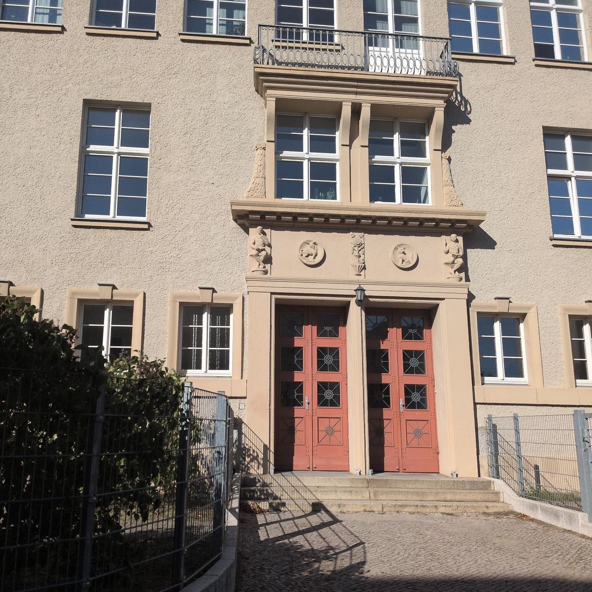
Built between 1250 and 1280 by Gaston VII, Viscount of Béarn, on a rocky outcrop overlooking the gave. Gaston Fébus had the castle reinforced in 1370.
0
0

Considered the little Béarn Venice, Salies-de-Béarn is mainly known for its saltwater spring. The town reveals an old centre with narrow streets and atypical houses.
0
0

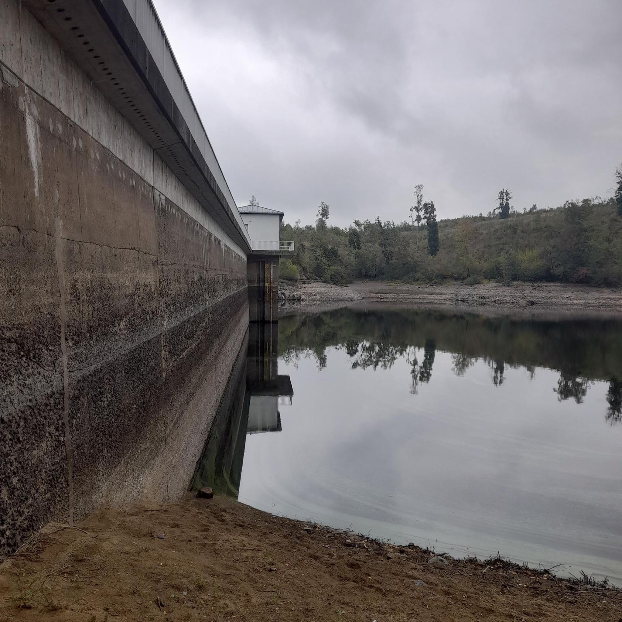
## The tunnel The tunnel, located between the Puyoô and Salies-de-Béarn stations, is one of the significant structures on line n° 662.000 connecting Puyoô to Mauléon. It is a single-track tunnel 848.5 m long and 5.00 m wide between the abutments. The height under the crown is 6.00 m. It is a multi-radius arch. The structure is generally oriented North-South, with a curve of R400 m for the first 250 meters on the North side, then a straight section to the South end. The longitudinal profile has a constant gradient of 0.01 m/m from the North. A central aqueduct equips the structure along its entire route. The maximum cover is 49 m. The tunnel is built in the Campanian flysch (Upper Cretaceous). The construction of the tunnel (1879-1883) was carried out from two headings via shafts approximately 35 m deep, located at PM219 and PM632. The shafts were retained as ventilation shafts. The masonry thicknesses (limestone rubble set in lime mortar) vary from 0.50 m to 1.20 m. The length of the tunnel, initially projected at 400 m, was increased to 787 m following the decision to lower the profile (from 20‰ to 16‰). During construction, ground instabilities encountered during the excavation of access trenches led to a further extension of the structure, which finally reached a length of 848.5 m. Numerous ground instabilities (landslides) caused significant delays in the progress of the work. The tunnel was electrified in 1930 and the overhead line equipment was removed in 1971.
0
0

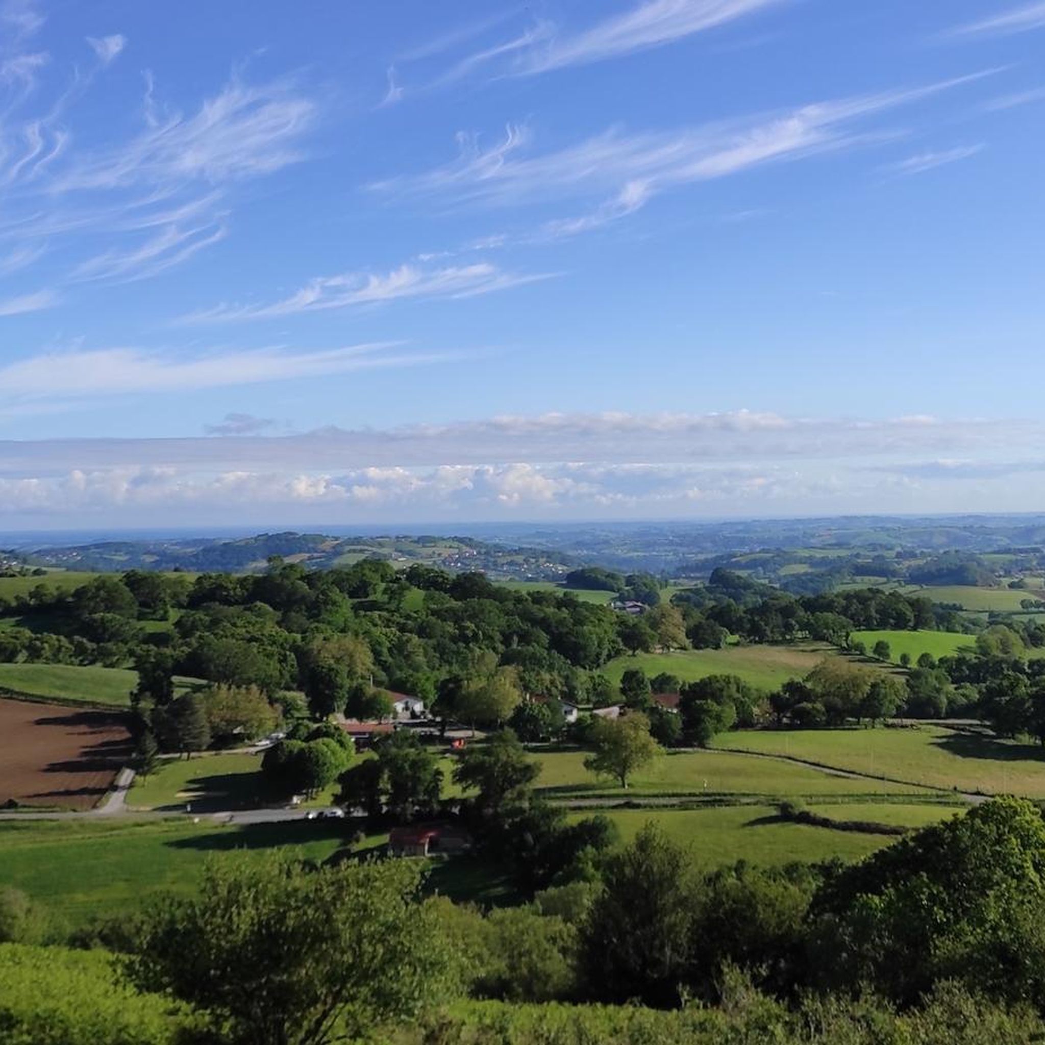
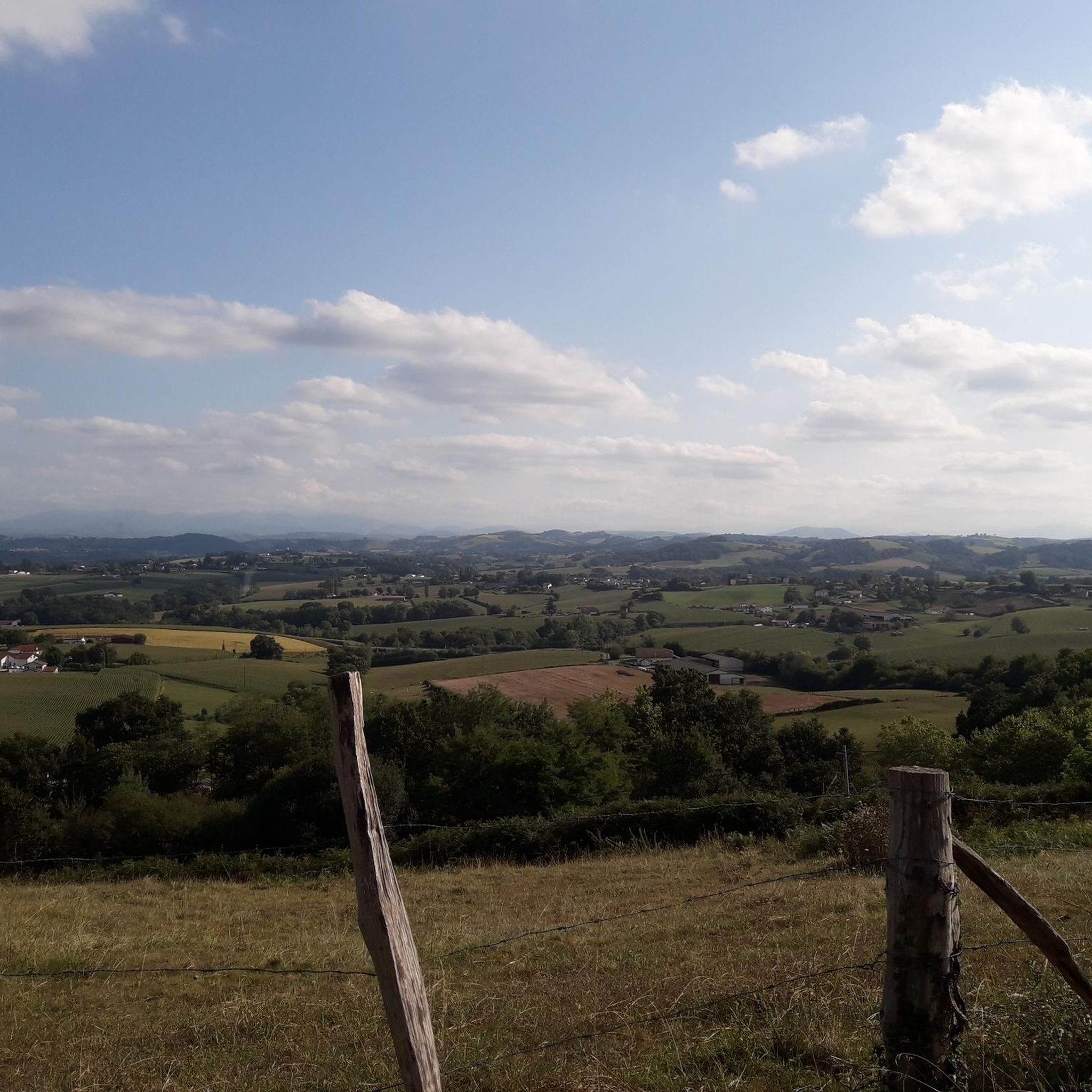
Path leading down from the castle. Beautiful view of the surrounding area.
0
0


Gaston Fébus, Jeanne d'Albret and Henri IV lived there.
1
0


Frequently Asked Questions
How many touring cycling routes are available around Arraute-Charritte?
There are over 75 touring cycling routes around Arraute-Charritte, offering a wide range of options for different skill levels and preferences. This includes 6 easy routes, 32 moderate routes, and 39 difficult routes.
Are there any easy touring cycling routes suitable for beginners or families?
Yes, Arraute-Charritte offers several easy touring cycling routes. While specific 'family-friendly' routes aren't highlighted, routes utilizing the 'Voie Verte' are generally flatter and safer. For example, the Voie Verte – Salies-de-Béarn loop from Saint-Dos is a moderate route that uses a dedicated greenway, making it a good option for those seeking a less strenuous ride.
What kind of elevation can I expect on touring cycling routes in Arraute-Charritte?
The region is characterized by rolling hills, so you can expect varied terrain. Routes typically feature moderate climbs, but some, like the Wonderful, quiet bike path – Château de Gramont de Bidache loop from Battan, include more challenging ascents with over 600 meters of elevation gain. There are also flatter sections, especially on dedicated 'Voie Verte' paths.
Are there any circular touring cycling routes in the area?
Many of the touring cycling routes around Arraute-Charritte are designed as loops, allowing you to start and finish at the same point. Examples include the Château de Gramont de Bidache – wonderful, quiet bike path loop from Arraute-Charritte and the Tunnel – Voie Verte loop from Came.
What are some interesting landmarks or attractions I can see along the touring cycling routes?
The routes often pass by historic sites and natural features. You might encounter the impressive Gramont Castle in Bidache, cycle along the Salies‑de‑Béarn Greenway, or discover charming structures like the Bourg-Neuf Washhouse Fountain. Other routes may lead you past historic bridges such as the Viellenave bridge and mill or the Bridge over the Bidouze in Villemante.
What do other touring cyclists enjoy most about cycling in Arraute-Charritte?
The touring cycling routes in Arraute-Charritte are highly rated by the komoot community, with an average score of 4.6 stars from over 120 reviews. Cyclists frequently praise the quiet roads, the scenic rural landscapes, and the dedicated bike paths that allow for peaceful exploration of the region's agricultural lands and historic châteaux.
Are there any challenging touring cycling routes for experienced riders?
Yes, Arraute-Charritte offers 39 difficult touring cycling routes. These routes typically feature significant elevation gains and longer distances. An example is the Wonderful, quiet bike path – Château de Gramont de Bidache loop from Battan, which covers nearly 88 km with over 670 meters of climbing.
What is the best time of year to go touring cycling in Arraute-Charritte?
The region generally experiences mild weather, making spring and autumn ideal for touring cycling. During these seasons, temperatures are pleasant, and the landscapes are particularly vibrant. Summer can also be enjoyable, but it's advisable to start earlier in the day to avoid the midday heat.
Are there opportunities for scenic viewpoints along the routes?
Given the rolling hills and rural nature of Arraute-Charritte, many routes offer picturesque views of the surrounding countryside, agricultural fields, and river valleys. While specific named viewpoints are not listed, the elevated sections of routes often provide expansive panoramas.
What should I bring for a touring cycling trip in Arraute-Charritte?
For touring cycling in Arraute-Charritte, it's recommended to bring appropriate cycling gear, including a helmet, water bottles, and snacks. Given the varied terrain and potential for longer rides, a repair kit, spare tube, and pump are also advisable. Depending on the season, layers of clothing are useful, and always check the weather forecast before heading out.
Are there cafes or places to stop for refreshments along the touring cycling routes?
While specific cafes are not detailed for every route, the routes often pass through or near small villages and towns where you can find local establishments for refreshments. Planning your route with potential stops in mind, especially in larger towns like Salies-de-Béarn, is recommended.
Is public transport available to access the touring cycling routes in Arraute-Charritte?
Public transport options in rural areas like Arraute-Charritte can be limited. It's generally more convenient to access the routes by car, especially if you are bringing your own touring bicycle. Some routes may start or pass through towns with limited bus services, but checking local schedules in advance is crucial.
Where can I park my car when starting a touring cycling route?
Parking is typically available in the villages and towns where many of the routes begin. Look for designated public parking areas in places like Arraute-Charritte, Battan, Saint-Dos, Labets-Biscay, or Came. Always ensure you park responsibly and check for any local parking regulations.
Most popular routes around Arraute-Charritte
Most popular attractions around Arraute-Charritte

Get inspired with the komoot mobile app


Explore more
Browse the best Cycling routes in other regions.
