The best traffic-free bike rides around Lavigerie
4.5
(86)
1,509
riders
35
rides
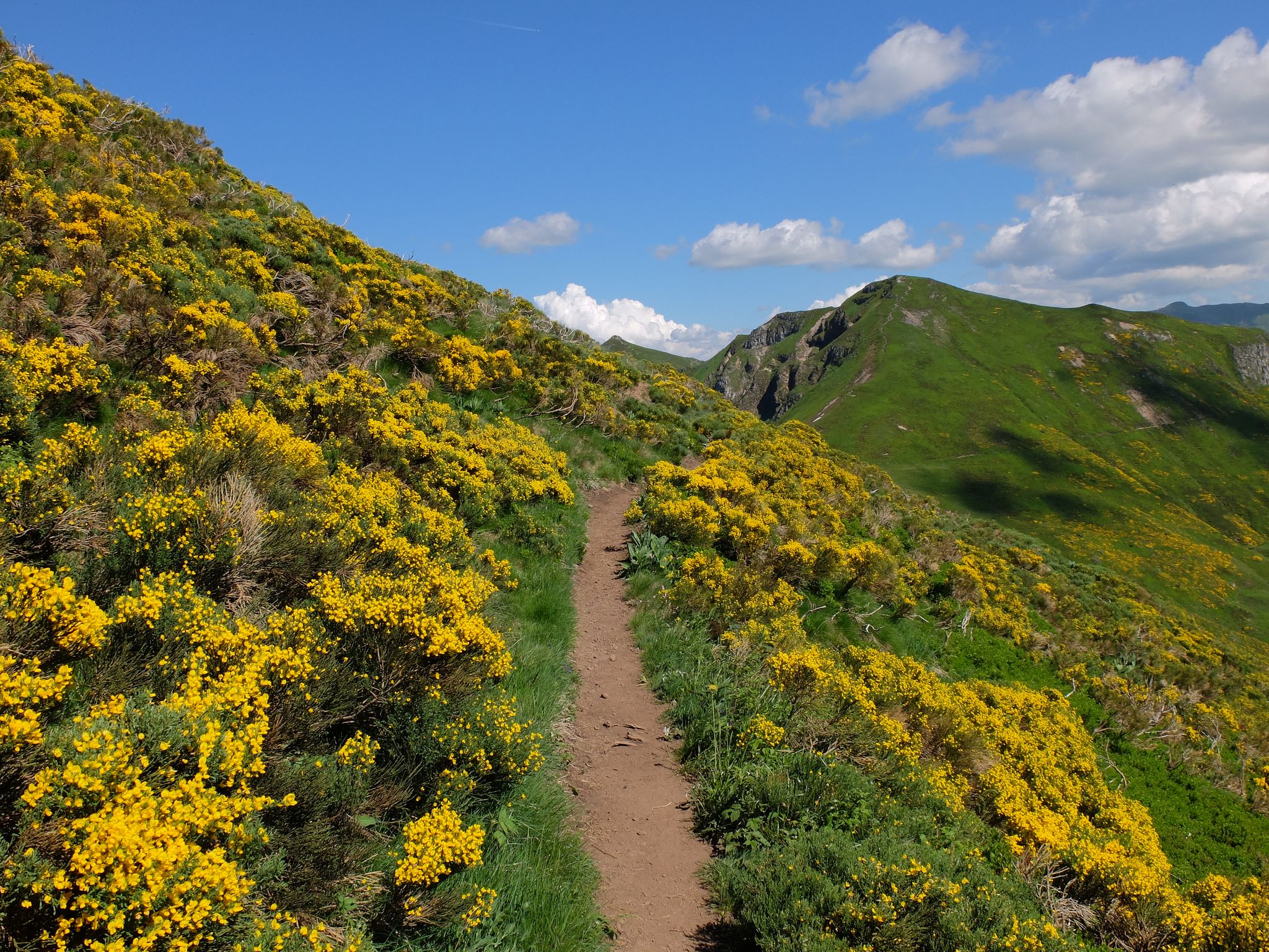
No traffic touring cycling routes around Lavigerie traverse the dramatic landscapes of the Monts du Cantal, a region defined by ancient volcanoes and high-altitude terrain. The area features significant elevation changes, with routes winding through valleys and ascending towards peaks like Puy Mary. Glacial cirques and traditional "burons" dot the landscape, providing a unique backdrop for cycling. The Santoire river also originates nearby, contributing to the diverse natural environment.
Best no traffic touring cycling routes around Lavigerie
- The most popular…
Last updated: July 5, 2026
24
riders
21.0km
02:02
680m
680m
Hard bike ride. Very good fitness required. Mostly paved surfaces. Suitable for all skill levels.
5.0
(1)
16
riders
23.6km
01:57
760m
760m
Hard bike ride. Very good fitness required. Mostly paved surfaces. Suitable for all skill levels.

Sign up for free
15
riders
16.6km
01:42
560m
560m
Hard bike ride. Very good fitness required. Mostly paved surfaces. Suitable for all skill levels.
11
riders
86.4km
06:07
1,760m
1,760m
Hard bike ride. Very good fitness required. Mostly paved surfaces. Suitable for all skill levels.
5.0
(1)
10
riders
19.4km
01:55
520m
520m
Hard bike ride. Very good fitness required. Mostly paved surfaces. Suitable for all skill levels.
Get access to more routes and recommendations from other explorers.
Sign up for free
Already have an account?
Our route recommendations are based on thousands of hikes, rides, and runs completed by other people on komoot.
Start today with a free account
Your next adventure awaits.
Login or Signup
Other adventures around Lavigerie

Tips from the Community

A beautiful, partly shady climb from Claux to the pass. Then the real challenge begins at Puy Mary.
0
0

Picturesque like Collonges la Rouge, Rocamadour or Locronan
0
0
last opportunity to refresh yourself before the climb to the Col de Serre
3
0
Small municipal campsite, pitches are somewhat uneven, but grassy. Decent restroom facilities. There are also a few snacks and drinks available at the reception.
3
0


Rain, visibility 1m, but otherwise great
0
0
The route takes you through incredibly beautiful scenery as you head up the valley.
1
0
Frequently Asked Questions
How many no-traffic touring cycling routes are available around Lavigerie?
There are 36 dedicated no-traffic touring cycling routes around Lavigerie. The majority of these, 27 routes, are classified as difficult, offering a challenging experience for seasoned cyclists. There are also 8 moderate routes and 1 easy route for those seeking a less strenuous ride.
What kind of terrain can I expect on no-traffic touring cycling routes in Lavigerie?
The terrain around Lavigerie is characterized by the dramatic landscapes of the Monts du Cantal, an ancient volcanic range. You can expect significant elevation changes, with routes winding through valleys and ascending towards mountain passes. The region offers a mix of lush valleys and more exposed, higher-altitude sections, providing a constantly changing and visually rewarding experience.
Are there any circular no-traffic touring cycling routes in the Lavigerie area?
Yes, many of the no-traffic touring cycling routes around Lavigerie are designed as loops. For example, the Ancienne route imperial – The descent from Lioran loop from Le Lioran offers a challenging circular ride of over 21 km with significant elevation gain.
What are the best times of year to go touring cycling in Lavigerie?
The best time for touring cycling in Lavigerie is generally from late spring to early autumn (May to October). During these months, the weather is typically more favorable, with warmer temperatures and less chance of snow on higher passes. The mountainous terrain means conditions can change rapidly, so always check the forecast before heading out.
Are there any waterfalls or scenic natural features along the no-traffic cycling routes?
Yes, the region's natural beauty includes several scenic features. The route Conche Waterfall – Start: Vic-sur-Cère loop from Saint-Jacques-des-Blats specifically highlights a waterfall. The area also features glacial cirques and the source of the Santoire river, offering picturesque scenery.
What kind of viewpoints or landmarks can I expect to see while cycling in Lavigerie?
The routes offer stunning panoramic views of the Monts du Cantal. You can expect to see iconic peaks like Puy Mary Summit, Plomb du Cantal, and Puy Peyre-Arse. Additionally, you'll encounter traditional 'burons' – small stone dwellings historically used by cattle farmers – offering a glimpse into the region's pastoral heritage.
Are there any places to stop for refreshments or accommodation along the routes?
While specific cafes or pubs are not listed for every route, the region has a heritage of 'burons,' some of which have been converted into refuges or auberges. For example, the Buron d'Eylac Refuge is a notable stop. It's advisable to carry sufficient supplies, especially on longer or more remote routes, as services may be sparse in the higher mountain areas.
What do other touring cyclists say about the no-traffic routes around Lavigerie?
The no-traffic touring cycling routes around Lavigerie are highly rated by the komoot community, with an average score of 4.8 stars from 89 ratings. Reviewers often praise the challenging ascents, breathtaking views of the volcanic landscapes, and the tranquility of cycling on quiet, scenic roads away from traffic.
Is public transport available to access the starting points of these routes?
Lavigerie is a small commune in a mountainous region, so public transport options might be limited. It's recommended to check local bus schedules or consider driving to the starting points. Some routes, like the Ancienne route imperial loop from Col de Font de Cère, start from well-known passes or villages that may have better access.
Are there options for family-friendly no-traffic cycling routes in Lavigerie?
While the majority of routes are classified as difficult, there is 1 easy route available. The mountainous terrain generally lends itself to more demanding rides. For family-friendly options, it's best to seek out the designated easy route or consider shorter, flatter sections within valleys if available, always checking the route profile beforehand.
Can I bring my dog on these no-traffic touring cycling routes?
The suitability for dogs depends on the specific route and local regulations. While many natural areas in France are dog-friendly, it's important to keep dogs on a leash, especially in areas with livestock or wildlife. Always ensure your dog is fit enough for the distance and elevation, and carry enough water for both of you. Check for any specific restrictions in the Parc Naturel Régional des Volcans d'Auvergne.
Most popular routes around Lavigerie
Most popular attractions around Lavigerie

Get inspired with the komoot mobile app


Explore more
Browse the best Cycling routes in other regions.
