The best cycling routes around Lavigerie
4.5
(86)
1,509
riders
94
rides
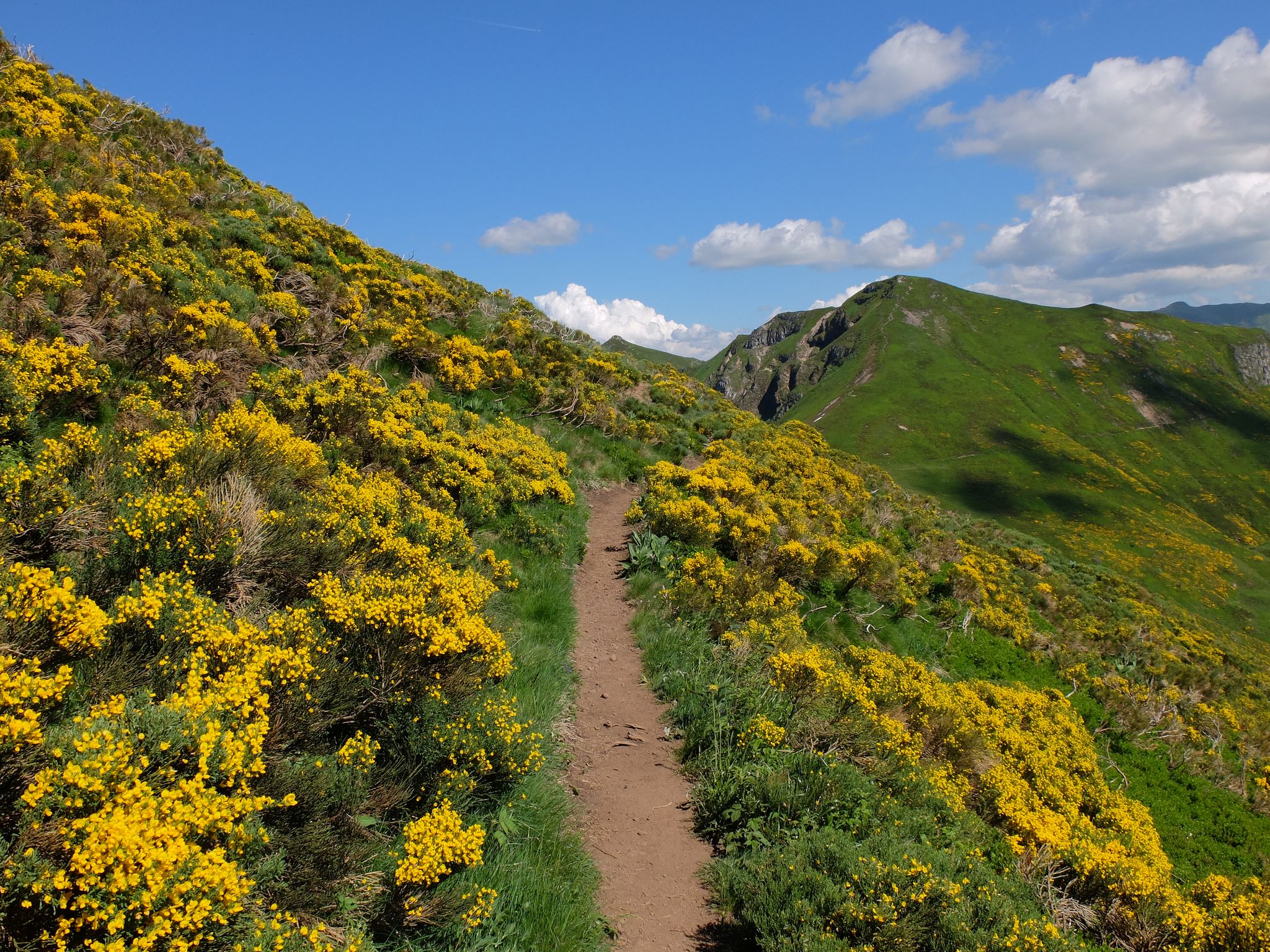
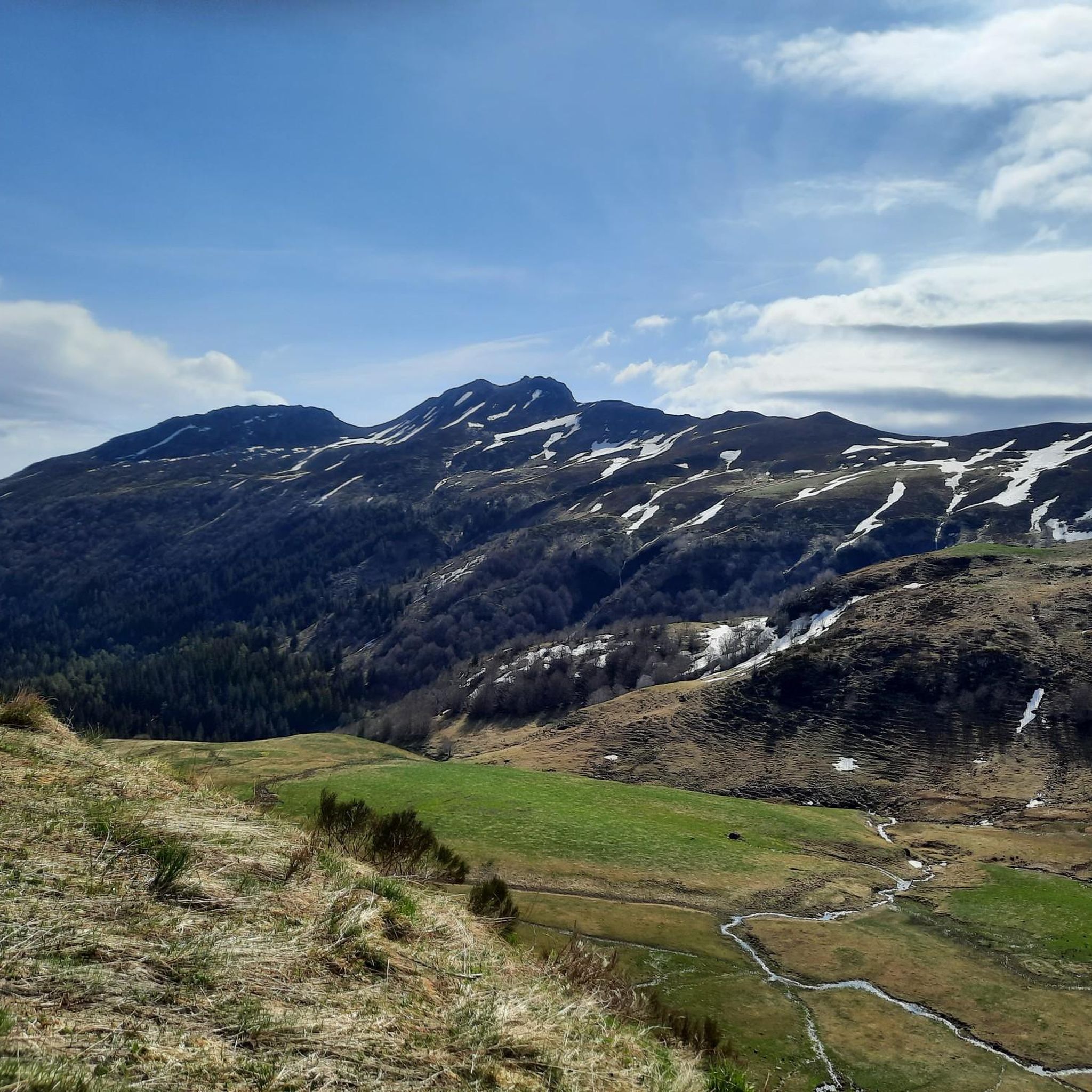
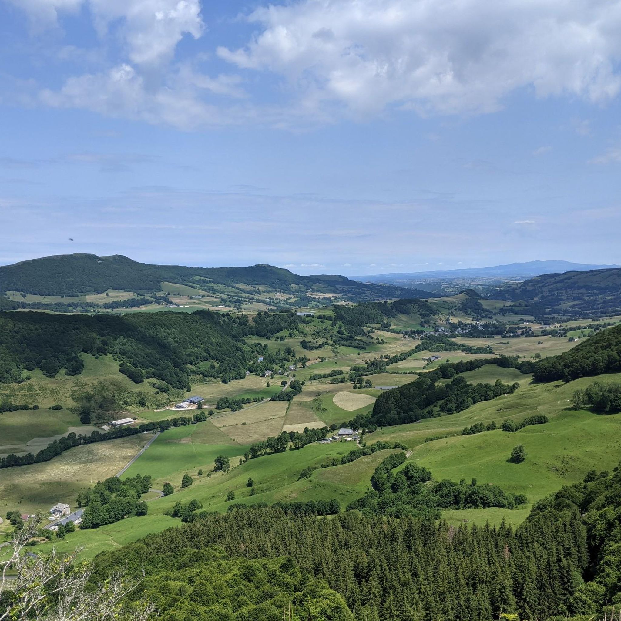
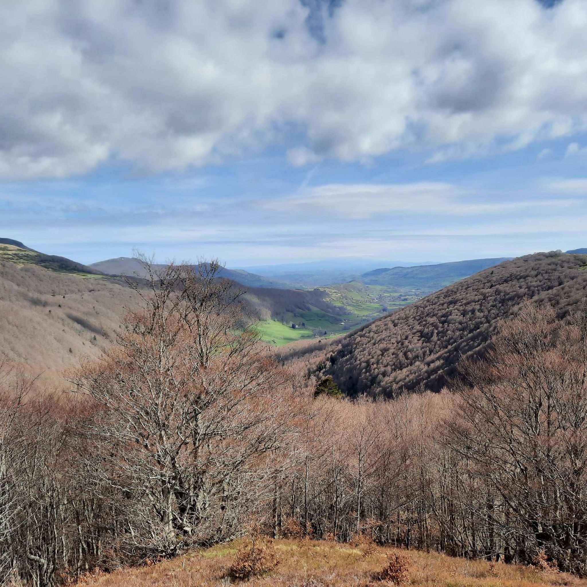
Touring cycling routes around Lavigerie traverse the dramatic volcanic landscapes of the Monts du Cantal, part of the Auvergne Volcanoes Regional Park. This region features high ridges, deep valleys, and plateaus, offering a demanding terrain for cyclists. Serpentine roads wind through gorges and past volcanic formations, providing significant elevation gains. The area is characterized by its ancient stratovolcano, creating a unique and challenging environment for touring cyclists.
Best touring cycling routes around Lavigerie
- The most popular touring cycling route is…
Last updated: June 29, 2026
4.8
(6)
147
riders
64.6km
04:53
1,610m
1,610m
Hard bike ride. Very good fitness required. Mostly paved surfaces. Suitable for all skill levels.
5.0
(1)
73
riders
82.6km
05:54
1,730m
1,730m
Hard bike ride. Very good fitness required. Mostly paved surfaces. Suitable for all skill levels.

Sign up for free
5.0
(3)
52
riders
44.1km
03:15
1,030m
1,030m
Hard bike ride. Very good fitness required. Mostly paved surfaces. Suitable for all skill levels.
1.0
(1)
23
riders
49.7km
03:30
980m
980m
Hard bike ride. Very good fitness required. Mostly paved surfaces. Suitable for all skill levels.
21
riders
21.0km
02:02
680m
680m
Hard bike ride. Very good fitness required. Mostly paved surfaces. Suitable for all skill levels.
Get access to more routes and recommendations from other explorers.
Sign up for free
Already have an account?
Our route recommendations are based on thousands of hikes, rides, and runs completed by other people on komoot.
Start today with a free account
Your next adventure awaits.
Login or Signup

Other adventures around Lavigerie

Tips from the Community

Road to Puy Mary, not so hearty here.
0
0
Descent or ascent to Puy Mary.
0
0
A beautiful, partly shady climb from Claux to the pass. Then the real challenge begins at Puy Mary.
0
0
Beautiful winding driveway, lots of shade, relatively little traffic.
3
0
Small village before the climb to Puy Mary. A bit deserted on Whit Monday.
3
0


The route takes you through incredibly beautiful scenery as you head up the valley.
1
0

This pass is rather easy if we compare it with what awaits us, the Puy Mary
1
0
Frequently Asked Questions
What kind of terrain can I expect on touring cycling routes around Lavigerie?
Touring cycling routes around Lavigerie are characterized by the dramatic volcanic landscapes of the Monts du Cantal. You'll encounter high ridges, deep valleys, and plateaus, with numerous serpentine roads winding between gorges and past volcanic formations. This region is known for its demanding terrain, featuring significant elevation gains and steep gradients, making it serious climbing country.
How many touring cycling routes are available around Lavigerie?
There are nearly 100 touring cycling routes available around Lavigerie, offering a diverse range of experiences. While many routes feature challenging climbs, there are options for various ability levels.
What is the best time of year for touring cycling in Lavigerie?
The optimal time for touring cycling in the Lavigerie region is from mid-May to mid-November. This period offers the most favorable weather conditions, considering the area's altitude and climate.
Are there any easy touring cycling routes for beginners or families?
While the Monts du Cantal region is renowned for its challenging cycling, there are a few easier options. The guide lists 2 routes categorized as easy and 17 as moderate. For example, the Ancienne route imperial loop from Col de Font de Cère is a shorter, difficult route that might be manageable for experienced beginners looking for a taste of the region's climbs.
What are some notable landmarks or viewpoints I can see along the cycling routes?
The routes offer breathtaking views of the volcanic landscape. You can encounter iconic peaks like Puy Mary Summit and Plomb du Cantal. The Pas de Peyrol Pass (1,589 m) is a particularly famous viewpoint and a highlight for many cyclists. Other notable passes include Roland's Breach and Neronne Pass.
Are there any circular touring cycling routes around Lavigerie?
Yes, many of the touring cycling routes around Lavigerie are circular. For instance, the popular Serre Pass – Pas de Peyrol Pass (1,589 m) loop from Dienne and the challenging Mandailles – Jordanne gorges loop from Puy Griou are both circular routes, allowing you to start and end in the same location.
What do other touring cyclists say about the routes in Lavigerie?
The touring cycling routes in Lavigerie are highly rated by the komoot community, with an average score of 4.8 stars from over 80 reviews. More than 2,000 touring cyclists have used komoot to explore the varied and challenging terrain, often praising the stunning volcanic scenery and the quiet, isolated roads.
Are there any particularly challenging routes for experienced touring cyclists?
Lavigerie is known as 'serious climbing country' and offers numerous challenging routes. The Serre Pass – Pas de Peyrol Pass (1,589 m) loop from Dienne, with over 1500 meters of elevation gain, is a prime example. Another demanding option is the Serre Pass – Pas de Peyrol Pass (1,589 m) loop from Col de Serre, which also features significant climbs through high mountain passes.
Can I find traditional burons along the cycling routes?
Yes, as you cycle through the Monts du Cantal, you may spot traditional burons. These small stone dwellings, once used by cattle farmers for cheese-making, are scattered throughout the mountains. Some are visible from the road, offering a glimpse into the region's cultural heritage.
Where can I find more information about the Cantal region for my cycling trip?
For more general information about cycling breaks in Cantal, including routes that have been part of the Tour de France, you can visit the Haute Terres Tourisme website: hautesterrestourisme.fr. For details on the village of Lavigerie itself, you can check: hautesterrestourisme.fr.
What is the typical elevation gain on touring routes in Lavigerie?
The touring routes in Lavigerie are known for significant elevation gains due to the volcanic landscape. For example, the Serre Pass – Pas de Peyrol Pass (1,589 m) loop from Pas de Peyrol involves over 1000 meters of ascent, while other routes can feature up to 1500 meters or more, making them quite demanding.
Most popular routes around Lavigerie
Most popular attractions around Lavigerie

Get inspired with the komoot mobile app


Explore more
Browse the best Cycling routes in other regions.
