The best mountain hikes around Lavigerie
5.0
(8)
17
hikers
3
hikes
Mountaineering around Lavigerie, France, provides access to the rugged Monts du Cantal, a region defined by ancient volcanic peaks and expansive mountainous terrain. Situated at an elevation of 1094 meters, Lavigerie serves as a starting point for ascents to prominent summits like Puy Mary and Plomb du Cantal. The landscape features deep glacial cirques, high-altitude pastures, and rocky ridges, offering diverse challenges for mountaineers. This area is characterized by varied terrain, from narrow paths to more exposed high-mountain routes.
Best…
Last updated: July 1, 2026
5.0
(4)
6
hikers
20.8km
07:42
1,030m
1,030m
Hard mountaineering route. Very good fitness required. Sure-footedness, sturdy shoes and alpine experience required.
5.0
(1)
5
hikers
11.5km
04:43
690m
690m
Hard mountaineering route. Good fitness required. Sure-footedness, sturdy shoes and alpine experience required.

Sign up for free
5.0
(1)
3
hikers
6.55km
02:35
370m
370m
Hard mountaineering route. Good fitness required. Sure-footedness, sturdy shoes and alpine experience required.
5.0
(2)
3
hikers
4.03km
01:18
170m
170m
Moderate mountaineering route. Great for any fitness level. Mostly accessible paths. Sure-footedness required.
Our route recommendations are based on thousands of hikes, rides, and runs completed by other people on komoot.
Start today with a free account
Your next adventure awaits.
Login or Signup
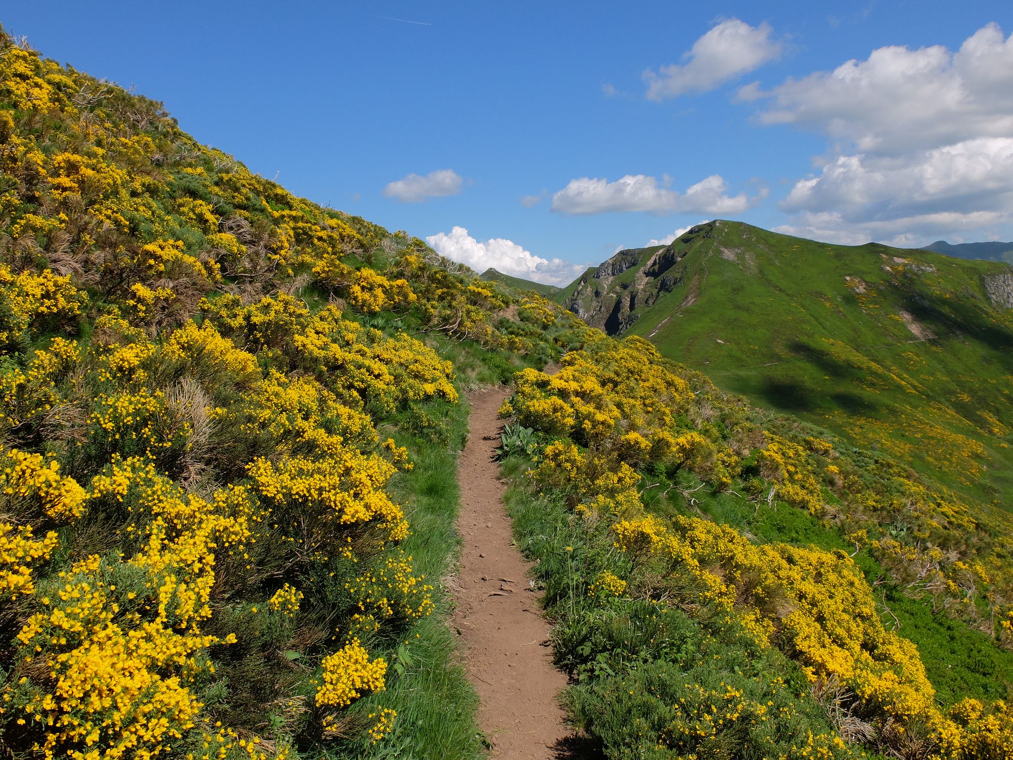
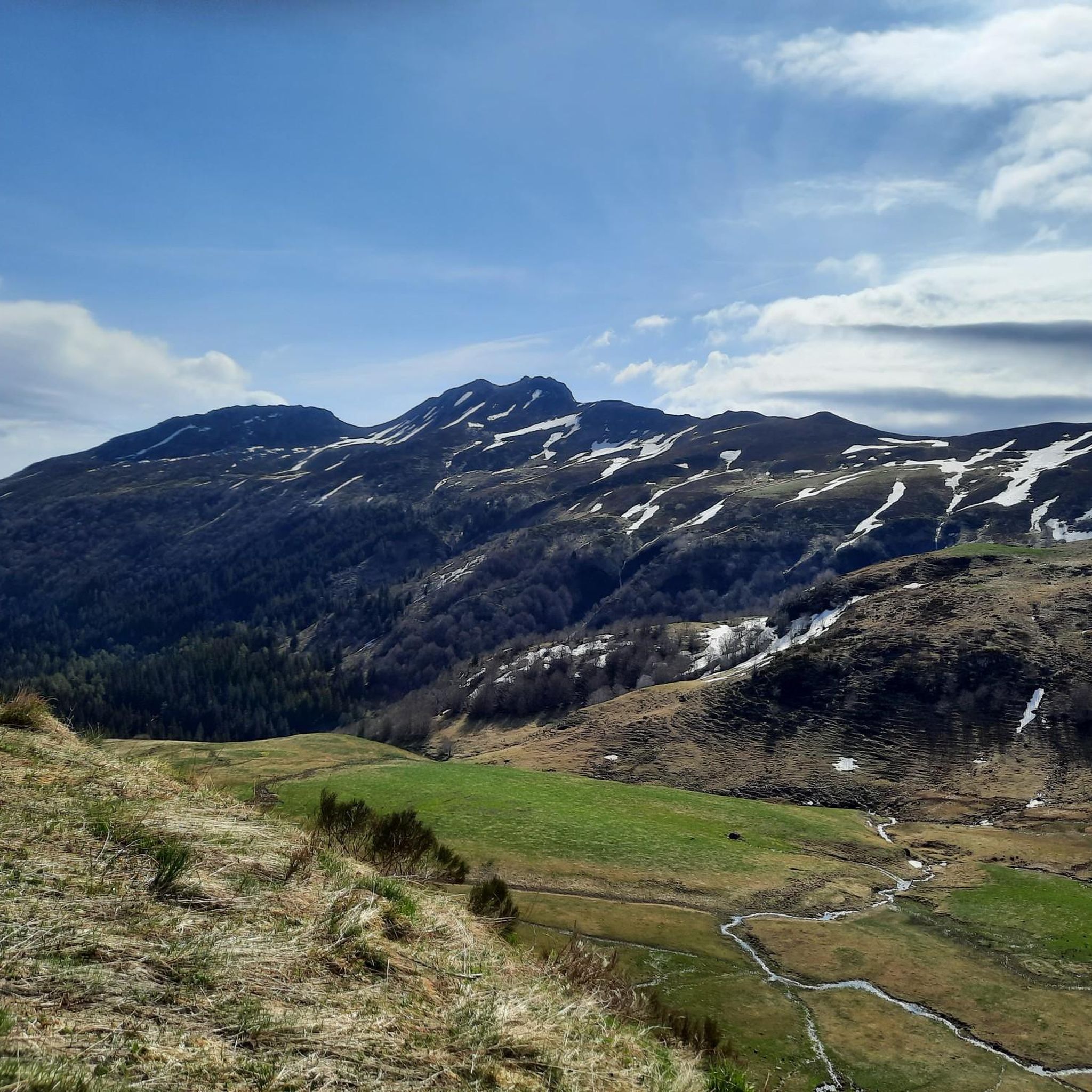
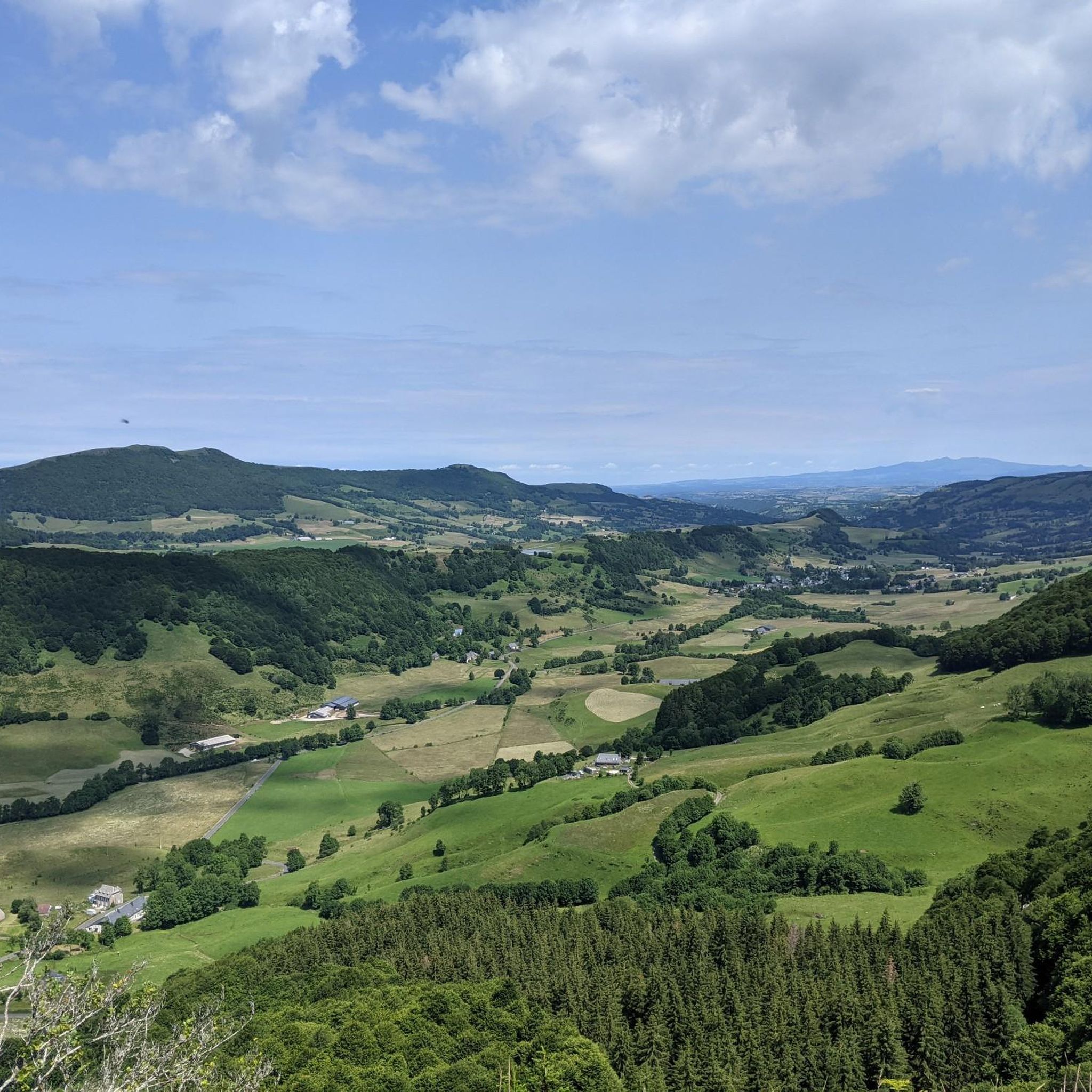
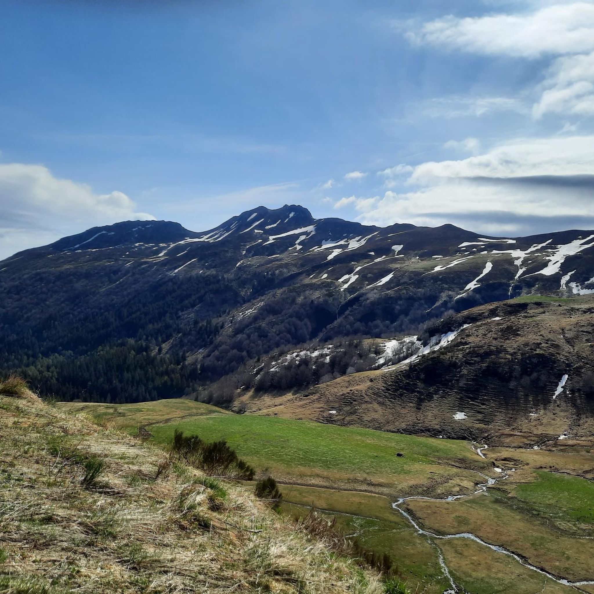
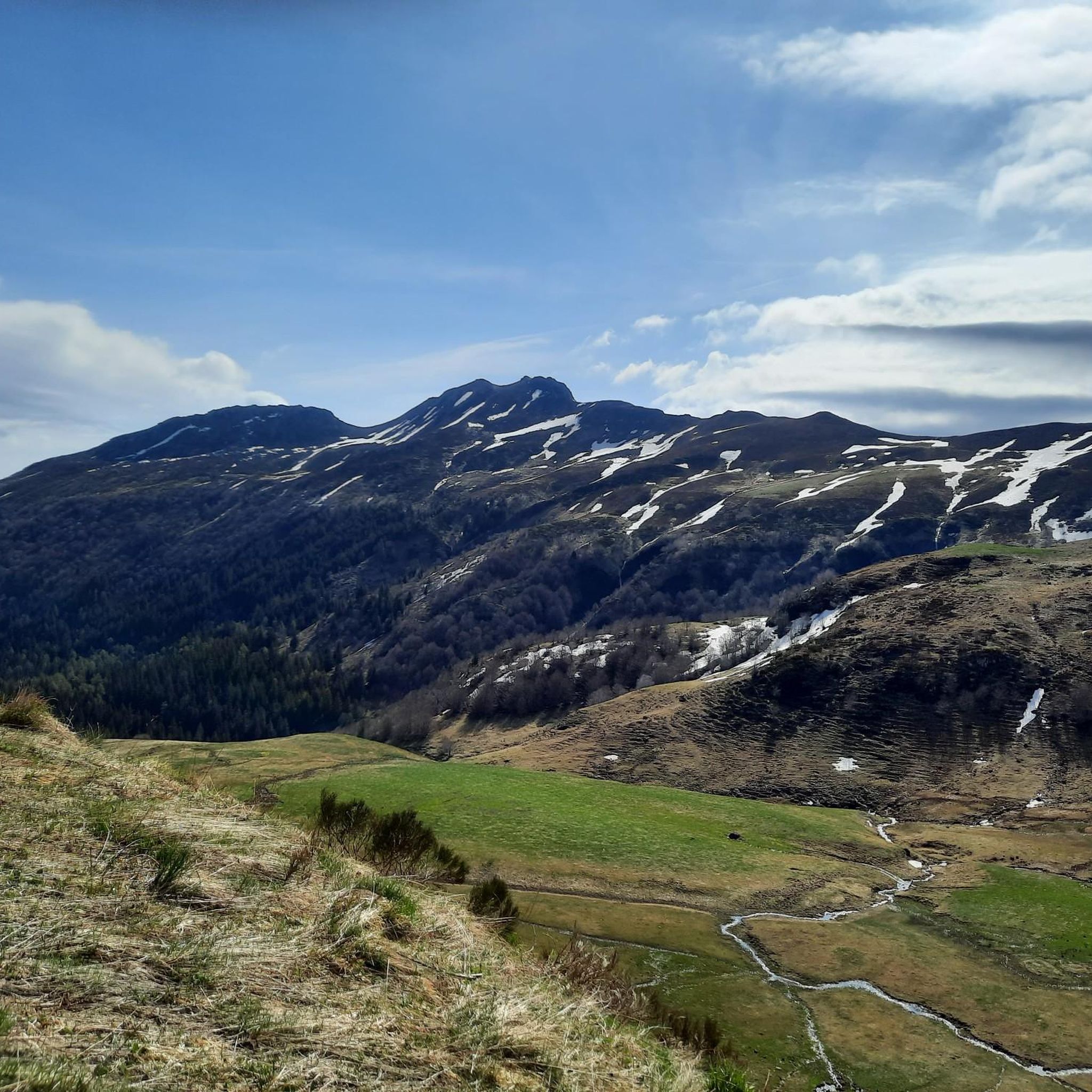
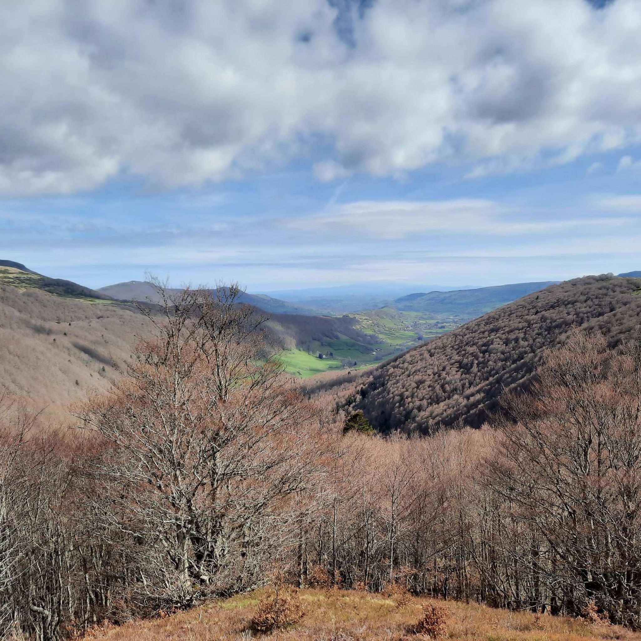
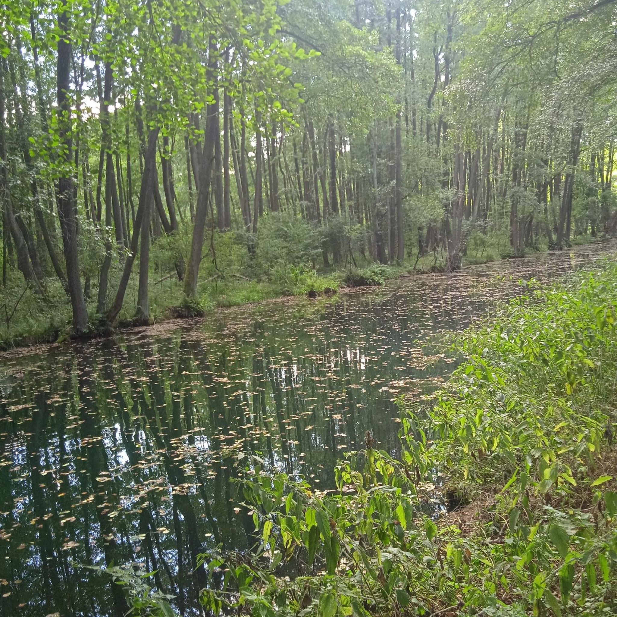
Other adventures around Lavigerie

Tips from the Community

Superb and eating at the buron moved
0
0

magnificent hike along the waterfalls. calm
0
0

A magnificent site where the panoramas are breathtaking!!!
0
0

The Rolland Breach was mildly challenging for this 72yo when dry. Descending in the wet would need good grippy footwear. There is an alternative GR400 track bypass
0
0

Here begin the characteristic steps that allow access to the Puy Mary. The result is a beautiful perspective of this emblematic summit of the Cantal mountains.
1
0

nice climb and good visibility over the valley
0
0
Frequently Asked Questions
What is the typical difficulty level for mountaineering routes around Lavigerie?
Mountaineering around Lavigerie primarily offers routes for experienced mountaineers, with 8 out of 9 listed tours being classified as difficult. There is one moderate route available, but no easy routes are specifically designated for mountaineering in this guide. The terrain is characterized by rugged volcanic peaks and extensive ridge lines, offering significant challenges.
Are there any circular mountaineering routes available near Lavigerie?
Yes, several mountaineering routes around Lavigerie are circular. For example, you can explore the Plomb du Cantal, 1,855 m – Vue sur la mer de nuages 🏔️⛅🏔️ loop from Col de Prat-de-Bouc, which is a moderate 8.4-mile (13.5 km) trail. Another challenging option is the Puy Chavaroche – Redondet Pass loop from Mandailles, covering 7.1 miles (11.5 km).
What kind of landscapes can I expect to see while mountaineering in the Monts du Cantal near Lavigerie?
The Monts du Cantal, accessible from Lavigerie, feature ancient volcanic peaks, deep glacial cirques like Eylac, and high-altitude pastures. You'll encounter varied terrain, from rocky ridges to expansive mountainous areas. The region is known for its dramatic scenery, including prominent summits such as Puy Mary and Plomb du Cantal.
What are some notable peaks or summits I can reach from Lavigerie?
Lavigerie is an excellent starting point for ascents to iconic peaks. You can reach Puy Mary Summit, a prominent peak in the region. Another significant summit is Plomb du Cantal. Other highly recommended peaks in the area include Puy de Niermont and Les Fours de Peyre Arse, offering diverse routes and breathtaking views.
Are there any interesting historical or cultural sites to see along the mountaineering trails?
Yes, the region is rich in rural heritage. You might encounter traditional stone mountain dwellings known as burons. These huts were historically used by Cantalien cattle farmers for cheesemaking. Some, like the buron d'Eylac, have been repurposed, while the buron du Col de Cabre, dating back to 1721, is noted as the oldest in the massif. Many are visible from trails or require a short hike to discover.
What do other mountaineers say about the routes around Lavigerie?
The mountaineering routes in Lavigerie are highly rated by the komoot community, with an average score of 5.0 stars from more than 10 reviews. Mountaineers often praise the challenging terrain, the stunning panoramic views of the Cantal massif, and the unique volcanic landscapes.
Is it possible to combine mountaineering with other outdoor activities in Lavigerie?
Absolutely. While Lavigerie is a prime spot for mountaineering, the varied terrain also supports other activities. During winter, when higher passes close, the area transforms into a 'white paradise' suitable for snowshoeing. Cross-country skiing is also available nearby, and downhill skiing is accessible within 28 km.
What is the best time of year for mountaineering in Lavigerie?
The Monts du Cantal offer opportunities throughout the year. Summer provides access to narrow, winding roads and high-mountain routes. However, during winter, the area becomes ideal for snowshoeing as roads to higher passes like Col de Serre close, transforming the landscape into a snowy wonderland. Always check local conditions and weather forecasts before heading out.
Are there any specific passes or viewpoints worth visiting during a mountaineering trip?
Definitely. The Pas de Peyrol Pass (1,589 m) is a significant landmark and a popular starting point for tours like the Pas de Peyrol Pass (1,589 m) – Puy Mary Summit loop from Puy Mary. Other notable passes include Roland's Breach, Neronne Pass, Cabre Pass, and Pertus Pass, all offering unique perspectives of the Monts du Cantal.
How many mountaineering routes are covered in this guide for Lavigerie?
This guide features 9 distinct mountaineering routes around Lavigerie, providing a range of challenging options for exploring the Monts du Cantal.
What is the longest mountaineering route mentioned in this guide?
The longest mountaineering route in this guide is the Ridge line – Puy Mary Summit loop from Mandailles, which spans approximately 12.9 miles (20.8 km) and involves over 1000 meters of elevation gain.
Where does the Santoire river originate, and can I see it during a hike?
The Santoire river originates in the Haut Val, which Lavigerie overlooks. While specific routes in this guide may not directly follow its source, the river contributes to the picturesque scenery of the region, and you may encounter it or its tributaries during your exploration of the surrounding valleys.
Most popular routes around Lavigerie
Most popular attractions around Lavigerie

Get inspired with the komoot mobile app


Explore more
Browse the best Mountain Hikes & Routes in other regions.
