The best traffic-free bike rides around Plougonvelin
4.1
(29)
162
riders
27
rides
No traffic gravel bike trails around Plougonvelin offer a diverse landscape for cycling, characterized by a dramatic coastline with cliffs and white sand beaches, alongside varied inland terrain. The region features a mix of coastal paths, unpaved segments, and small roads, providing varied conditions for gravel biking. Elevations range from sea level to 85 meters within the commune, contributing to diverse route profiles. This area provides access to natural features such as the Pointe Saint-Mathieu and the Iroise Marine Park.
…Last updated: July 5, 2026
4.6
(5)
33
riders
40.1km
02:35
460m
460m
Hard gravel ride. Very good fitness required. You may need to push your bike for some segments of this route.
3.7
(3)
14
riders
30.7km
01:46
190m
190m
Moderate gravel ride. Good fitness required. Mostly paved surfaces. Suitable for all skill levels.

Sign up for free
3.3
(3)
13
riders
56.9km
03:59
580m
580m
Hard gravel ride. Very good fitness required. Mostly paved surfaces. Suitable for all skill levels.
5.0
(2)
13
riders
24.0km
01:39
300m
310m
Hard gravel ride. Good fitness required. You may need to push your bike for some segments of this route.
4.0
(1)
17
riders
52.7km
03:02
370m
370m
Moderate gravel ride. Good fitness required. Mostly paved surfaces. Suitable for all skill levels.
Get access to more routes and recommendations from other explorers.
Sign up for free
Already have an account?
Our route recommendations are based on thousands of hikes, rides, and runs completed by other people on komoot.
Start today with a free account
Your next adventure awaits.
Login or Signup
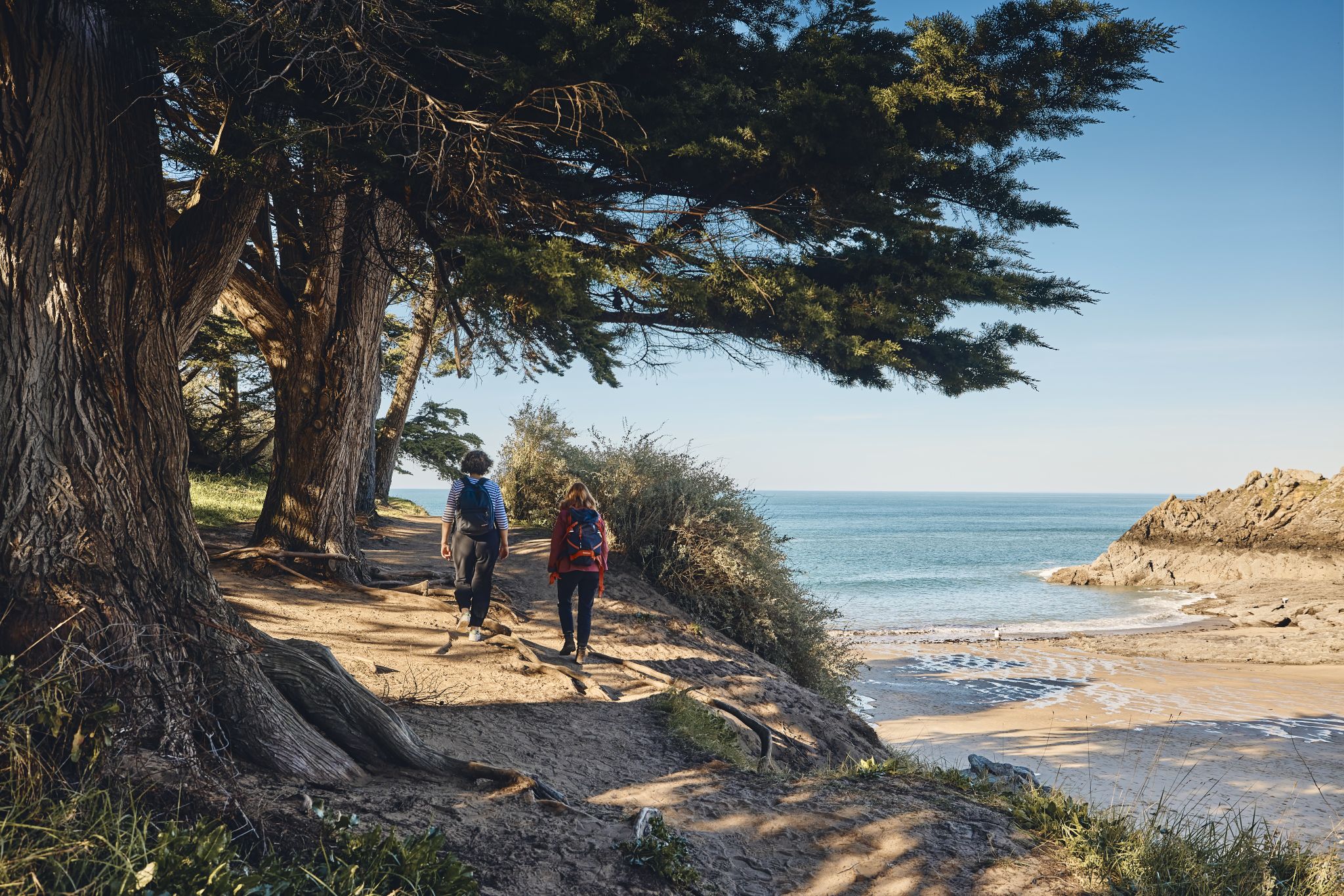
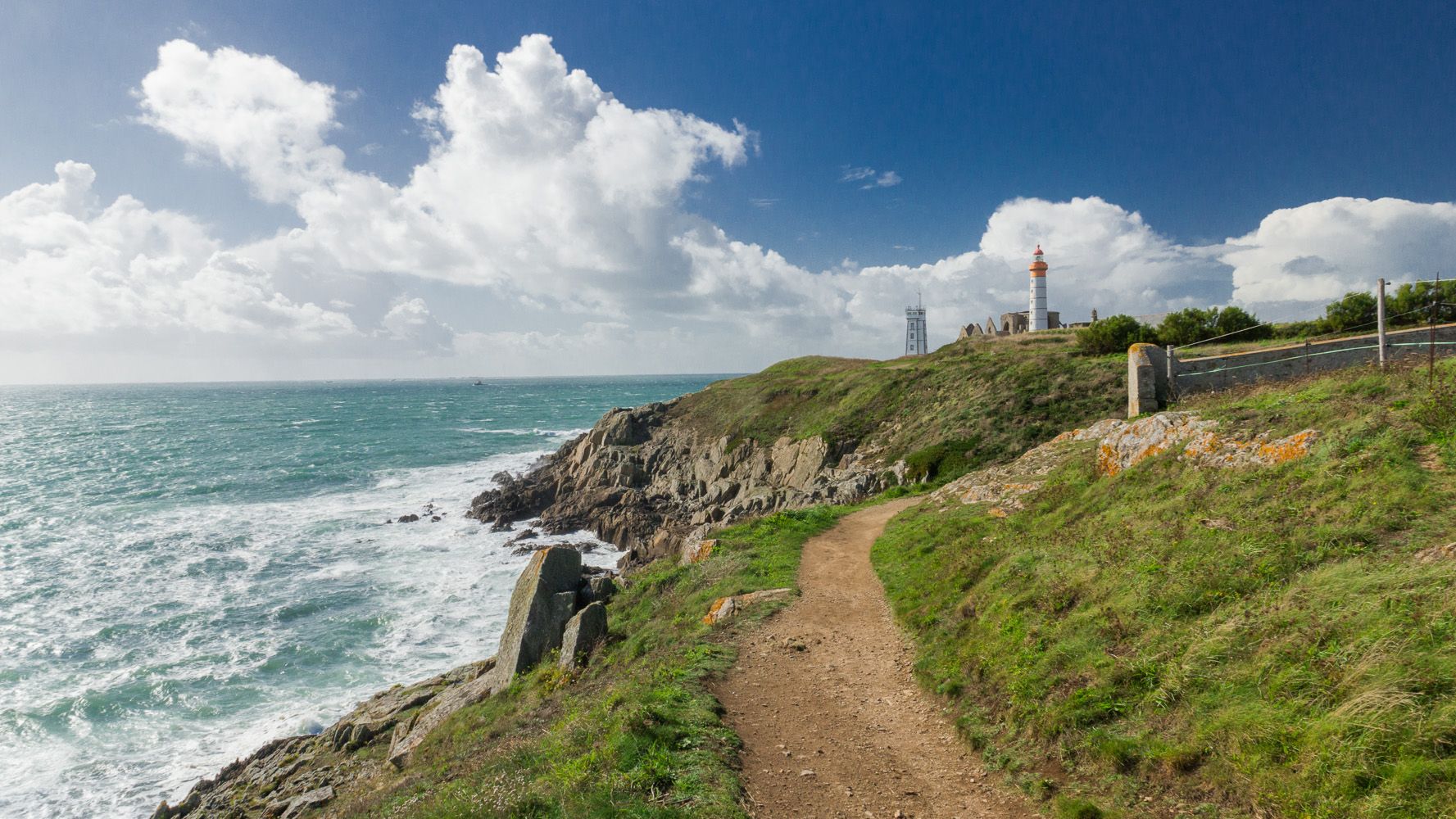
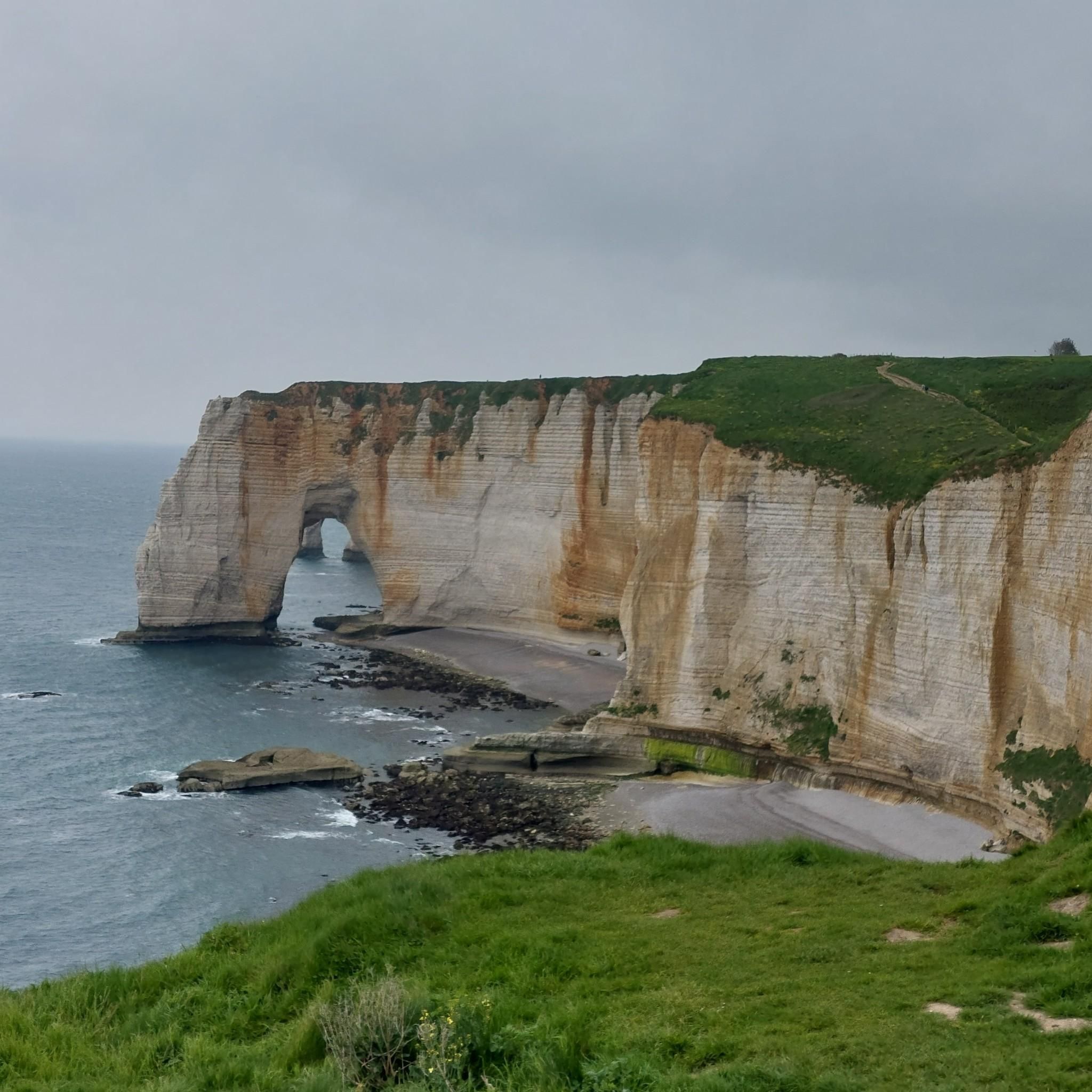



Tips from the Community

Phare de Saint-Mathieu is the name of a lighthouse in the village of Saint-Mathieu on the Saint-Mathieu Point in Plougonvelin in the Finistère department. It was built on the site of the former Saint-Mathieu Abbey. Its theoretical range is 29 nautical miles, which is approximately 55 kilometers. Together with the Kermorvan lighthouse, it indicates the Passage du Four (Chenal du Four), an important north-south passage from or to the Iroise Sea, which runs between the mainland and the island of Ouessant, thus saving about two days of travel time. In conjunction with the Portzic lighthouse, it illuminates the entrance to the Bay of Brest. The lighthouse has been listed as a French Historic Monument since May 23, 2011. It is open to the public. Just west of the lighthouse is the Sémaphore de la Pointe Saint-Mathieu.
1
0

Here you can take a short or long break overlooking a small lake. You could even lie down comfortably.
0
0

very beautiful place and accessible for beginners
0
0


Very pleasant space and great gravel trails.
0
0

Very quiet natural area where you can observe many species of migratory birds. A tour along the paths surrounding the site lets you discover the meadows, the bodies of water and the bocage.
0
0


Tree that prevents rolling near the mill
0
0
Frequently Asked Questions
How many traffic-free gravel bike trails are available in Plougonvelin?
There are over 20 traffic-free gravel bike trails around Plougonvelin, ranging from easy to difficult. This includes 3 easy routes, 14 moderate, and 5 difficult options, ensuring a suitable ride for various skill levels.
What kind of terrain can I expect on the gravel bike trails in Plougonvelin?
Plougonvelin's gravel trails offer a diverse experience, blending dramatic coastal paths with quieter inland lanes. You'll encounter unpaved segments, small roads, and varied elevations, from sea level to 85 meters, providing a true gravel biking adventure. The region is known for its blend of cliffs, white sand beaches, and wild coves.
What natural features and viewpoints can I discover along the routes?
Many routes offer stunning natural beauty. You can expect panoramic views from prominent headlands like the Corsen Point, dramatic cliffs, and serene beaches such as Anse de Pen Hat. The region is part of the Iroise Marine Park, offering preserved nature and biodiversity.
Are there historical sites or landmarks accessible from the gravel trails?
Yes, Plougonvelin is rich in history. You can cycle near iconic sites like the Fort Bertheaume, a historic fort built on an islet, or the ruins of a 6th-century abbey and the majestic lighthouse at Pointe Saint-Mathieu. The Kerloas Menhir is another notable historical site nearby.
Are there any easy, traffic-free gravel routes suitable for beginners?
Yes, there are several easy, traffic-free routes perfect for beginners. For example, the "Bodonou natural area – Etang bodonou loop from Kerallan" (view route) offers a moderate challenge over 30 km with manageable elevation, ideal for those starting out.
Can I find circular gravel bike routes without traffic in Plougonvelin?
Absolutely. Many of the gravel routes in Plougonvelin are designed as loops, allowing you to start and finish at the same point without retracing your steps. An example is the "Portez Beach – Trégana Beach loop from Plouzané" (view route), which offers a substantial circular ride.
Is parking available near the starting points of these gravel trails?
Yes, parking is generally available in and around Plougonvelin, especially near popular coastal access points and villages. It's advisable to check specific starting points for designated parking areas, often found close to beaches or historical sites.
What is the best time of year for gravel biking in Plougonvelin?
The best time for gravel biking in Plougonvelin is typically from spring through early autumn (April to October). During these months, the weather is generally milder and more stable, making for pleasant riding conditions along the coast and inland trails. The vibrant natural scenery is also at its peak.
Are there family-friendly no-traffic gravel routes in the area?
While many routes offer varied terrain, some sections of the coastal paths and quieter inland lanes are suitable for families. Look for routes described as 'easy' or 'moderate' with less significant elevation changes. Always check the route details for distance and difficulty to ensure it matches your family's capabilities.
Are dogs allowed on the gravel bike trails in Plougonvelin?
Generally, dogs are permitted on many public trails in Brittany, including gravel paths, but it's crucial to keep them on a leash, especially in natural areas, protected zones, and near livestock. Always respect local signage and regulations regarding pets.
What do other gravel bikers enjoy most about gravel biking in Plougonvelin?
The area is highly rated by the komoot community, with an average score of 4.01 stars. Reviewers often praise the stunning coastal views, the variety of terrain that keeps rides interesting, and the sense of tranquility found on the traffic-free paths. The blend of natural beauty and historical landmarks is also a frequently highlighted aspect.
Can I access these gravel trails using public transport?
Public transport options in Plougonvelin and surrounding areas can be limited, especially for reaching specific trailheads. While some bus services connect larger towns, accessing more remote gravel paths might require a car. It's best to check local bus schedules if you plan to rely on public transport.
Most popular routes around Plougonvelin
Most popular attractions around Plougonvelin

Get inspired with the komoot mobile app


Explore more
Browse the best Gravel rides in other regions.
