The best traffic-free bike rides around Nurieux-Volognat
4.5
(2)
20
riders
4
rides
No traffic gravel bike trails around Nurieux-Volognat are situated within the Jura Mountains, offering a diverse landscape for cycling. The region features varied elevations, from plateaus to hills, and is characterized by the Ain River, which carves impressive gorges. Glacial lakes like Lake Nantua and Lake Coiselet also contribute to the scenic environment, providing opportunities for rides along their banks.
Best no traffic gravel bike trails around Nurieux-Volognat
- The most popular no traffic gravel bike trail is Lake Nantua –…
Last updated: July 3, 2026
4.5
(2)
13
riders
39.8km
02:48
760m
760m
Hard gravel ride. Very good fitness required. You may need to push your bike for some segments of this route.
3
riders
34.0km
02:31
660m
660m
Hard gravel ride. Very good fitness required. You may need to push your bike for some segments of this route.

Sign up for free
2
riders
Hard gravel ride. Very good fitness required. Mostly paved surfaces. Suitable for all skill levels.
2
riders
40.7km
02:52
770m
770m
Hard gravel ride. Very good fitness required. Mostly paved surfaces. Suitable for all skill levels.
Our route recommendations are based on thousands of hikes, rides, and runs completed by other people on komoot.
Start today with a free account
Your next adventure awaits.
Login or Signup
Popular around Nurieux-Volognat

Tips from the Community

The ruin is very beautiful, panels indicate the history of the site, very instructive! Calm and relaxing, the site offers a magnificent setting and allows for nice picnic breaks!
0
0

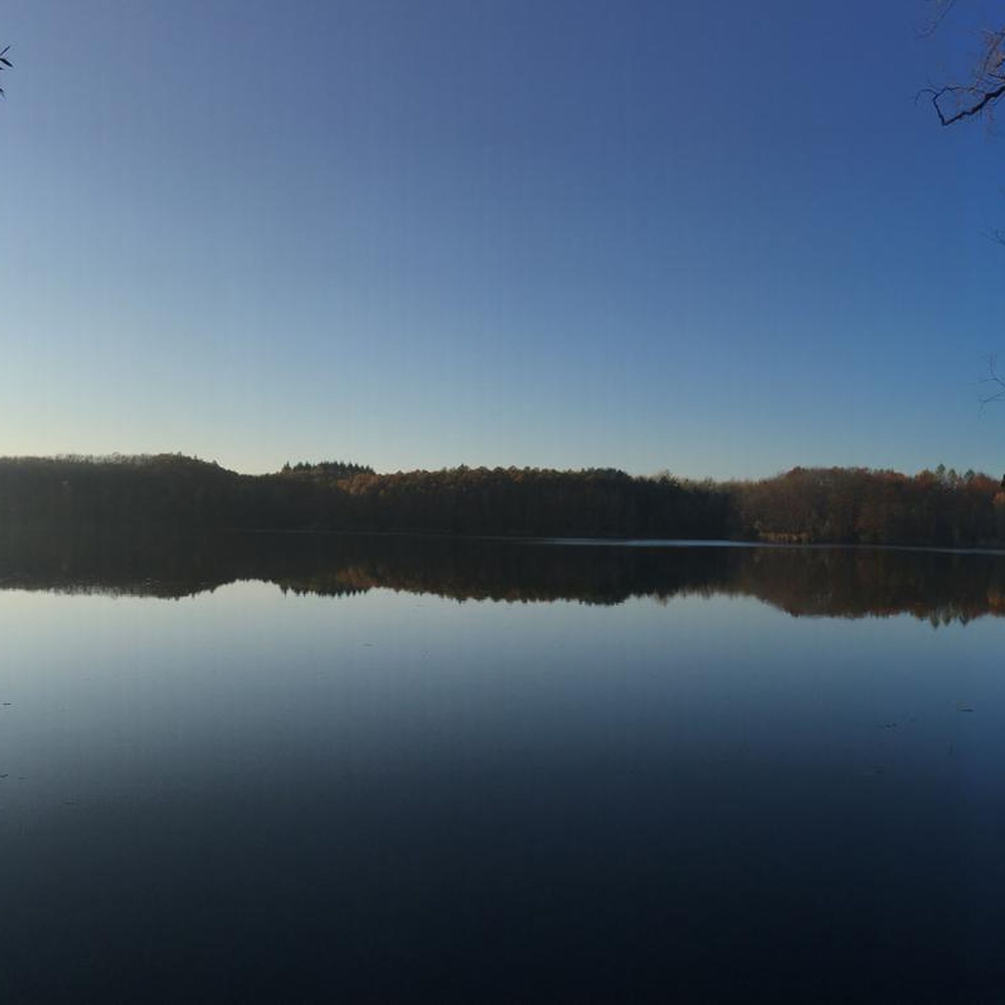
The Lac de Nantua is a superb body of water of 141 hectares. In the heart of the Jura, it offers an ideal setting for practicing a multitude of sports. It is even possible to swim in its waters.
1
0
The Peney viewpoint overlooks Lake Sylans, on which it offers a beautiful view. Classified since 1909, one can distinguish on its banks the ruins of the old ice factories which commercialized the ice extracted from the lake until 1917. The passage is located at the level of the tunnel of the same name.
0
0
The Marron ponds are named after a family from Brénod, it is not a reference to the color of the water. Only one of them remains filled with water all year round. This one served as a water reserve and fishing spot for the monks of the Meyriat abbey. In spring, a multitude of water lilies cover the surface.
0
0

Lavoir de Aromas and its water point with an old communal fire-fighting engine. Church of Saint-André nearby. Aromas and its seven hamlets were part of the fief of the castle of Montdidier, the ruins of which can still be seen today. The village of Aromas is dominated by the hill of Cuquelu, on which stands a beautiful statue of the Virgin dating from the mid-19th century. In front of the church stands a calvary cross protected and classified by decree of November 24, 1906. The villages of Aromas, Villeneuve les Charnod, Faverges, Burigna and Ceffia have a covered washhouse. The commune of Ceffia was attached in 1974. The commune of Burigna was attached in 1823. The commune of l'Hôpital was attached in 1823 with its hamlets of Marsonnas and Marcia. Villeneuve les Charnod and Faverges were attached in 2017. https://www.terredemeraude.fr/aromas/
0
0
Beautiful, simple, easy walk; lots of traffic noise on the "road" section, a bit of a shame, but the color of the water is magical
1
0

Unfortunately I was unlucky with the weather, but even as I drove past the place looked very nice, lots of grass and a place to swim.
0
0

Frequently Asked Questions
How many no-traffic gravel bike trails are available around Nurieux-Volognat?
Our guide features 4 challenging no-traffic gravel bike trails around Nurieux-Volognat. These routes are designed to keep you away from cars, offering a serene cycling experience through the region's diverse landscapes.
What kind of terrain can I expect on these no-traffic gravel routes?
The no-traffic gravel routes around Nurieux-Volognat traverse a varied landscape, from the picturesque banks of glacial lakes like Lake Nantua to the plateaus and valleys of the Jura Mountains. You'll encounter a mix of dirt tracks, forest paths, and quiet paved sections, ensuring a true gravel biking adventure with minimal vehicle interaction.
Are there any scenic viewpoints or natural attractions along the no-traffic gravel trails?
Absolutely! Many routes offer stunning views. For instance, the Lake Nantua – View of Lake Nantua loop from Nantua provides breathtaking vistas of the lake. You might also pass by impressive natural features like the Ain River gorges or even the Cascade de la Pisse Vache, depending on your chosen route.
What historical landmarks or points of interest can I explore near these gravel routes?
The region is rich in history. You could encounter the impressive Cize-Bolozon Viaduct, a remarkable 19th-century structure spanning the Ain River. The Chartreuse de Sélignac (former Charterhouse of Val-Saint-Martin de Sélignac) is also a significant historical site that some routes pass close to, such as the Quiet little road loop from Chartreuse du Val-Saint-Martin de Sélignac.
Are the no-traffic gravel bike trails around Nurieux-Volognat suitable for families or beginners?
The trails listed in this guide are generally rated as difficult due to their length and elevation gain. For example, the Lake Nantua – Lac de Nantua loop from Brion - Montréal-la-Cluse covers nearly 45 km with almost 700m of ascent. While they are traffic-free, beginners or families with young children might find them quite challenging. It's best to assess your fitness level before attempting these routes.
Can I bring my dog on these no-traffic gravel bike trails?
Generally, dogs are welcome on many outdoor trails in the Nurieux-Volognat area, especially on forest paths and quiet roads. However, it's always advisable to keep them on a leash, particularly in nature reserves or agricultural areas, and to check local regulations for specific sections of your chosen route to ensure a pleasant experience for everyone.
What is the best time of year to go gravel biking in Nurieux-Volognat?
The spring and autumn months typically offer the most pleasant conditions for gravel biking in Nurieux-Volognat, with milder temperatures and beautiful scenery. Summer can also be enjoyable, but be prepared for warmer weather, especially in the valleys. Winter riding is possible, but some higher elevation paths might be muddy or covered in snow, so checking local conditions is recommended.
Are there any circular no-traffic gravel bike routes available?
Yes, all the no-traffic gravel bike routes featured in this guide are circular, allowing you to start and end at the same point. This makes planning your ride and parking much more convenient. Examples include the Lake Nantua – Lac de Nantua loop from Brion - Montréal-la-Cluse and the Lake Nantua – View of Lake Nantua loop from Nantua.
Where can I find parking for these no-traffic gravel bike trails?
Parking is generally available in the towns and villages where these routes start, such as Brion - Montréal-la-Cluse or Nantua. For routes like the Quiet little road loop from Chartreuse du Val-Saint-Martin de Sélignac, you can often find parking near the Chartreuse itself or in nearby hamlets, providing direct access to the trailheads.
Are there any cafes or places to eat near the no-traffic gravel trails?
Yes, the towns and villages along or near these routes, particularly around Lake Nantua, offer various options for refreshments and meals. You'll find cafes, restaurants, and bakeries where you can refuel before or after your ride, especially in larger hubs like Nantua.
What do other gravel bikers enjoy most about the no-traffic trails in Nurieux-Volognat?
The area is highly rated by the komoot community, with an average score of 5.0 stars. Reviewers often praise the tranquility of the routes, the stunning natural beauty of the lakes and mountains, and the satisfaction of exploring diverse terrain away from vehicle traffic. The challenging ascents and rewarding views are frequently highlighted as key attractions.
Most popular routes around Nurieux-Volognat
Most popular attractions around Nurieux-Volognat

Get inspired with the komoot mobile app


Explore more
Browse the best Gravel rides in other regions.
