The best cycling routes around Nurieux-Volognat
4.4
(201)
2,099
riders
156
rides
Touring cycling around Nurieux-Volognat offers diverse landscapes within the Ain department and Auvergne Rhône-Alpes region of France. The area is characterized by the Jura massif, featuring varied terrain with forests, plateaus, and valleys. Cyclists can explore routes alongside the Ain and Oignin rivers, as well as around glacial lakes such as Lake Nantua, Lake Samognat, and Lake Coiselet. This region provides a mix of paved roads and car-free dirt tracks, catering to different cycling preferences.
Best touring cycling routes around…
Last updated: June 28, 2026
3.8
(4)
124
riders
Moderate bike ride. Good fitness required. Mostly paved surfaces. Suitable for all skill levels.
5.0
(1)
37
riders
39.7km
02:40
580m
580m
Hard bike ride. Very good fitness required. Mostly paved surfaces. Suitable for all skill levels.

Sign up for free
19
riders
56.4km
03:49
890m
890m
Hard bike ride. Very good fitness required. Mostly paved surfaces. Suitable for all skill levels.
4.7
(3)
20
riders
56.4km
03:44
790m
790m
Hard bike ride. Very good fitness required. Mostly paved surfaces. Suitable for all skill levels.
19
riders
41.1km
02:49
680m
680m
Hard bike ride. Very good fitness required. Mostly paved surfaces. Suitable for all skill levels.
Get access to more routes and recommendations from other explorers.
Sign up for free
Already have an account?
Our route recommendations are based on thousands of hikes, rides, and runs completed by other people on komoot.
Start today with a free account
Your next adventure awaits.
Login or Signup
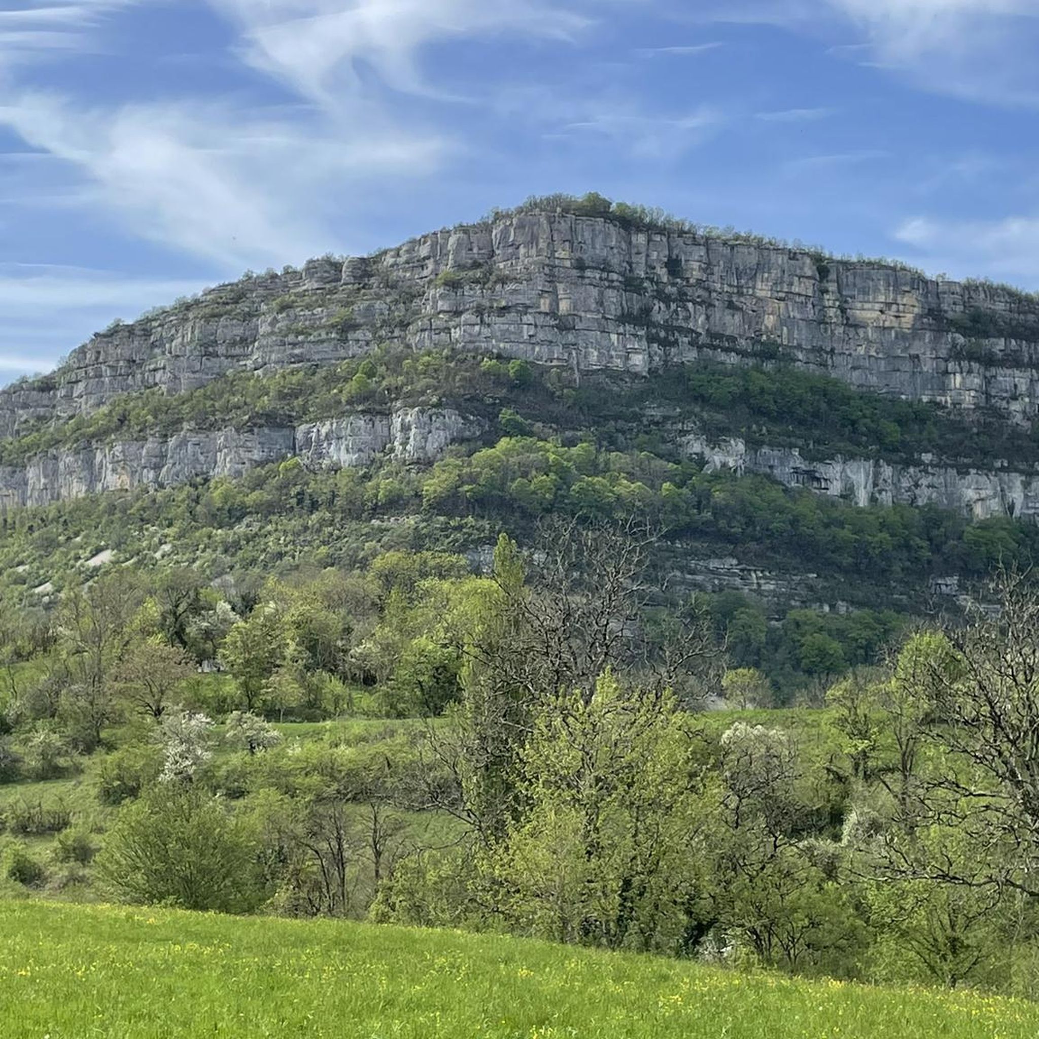
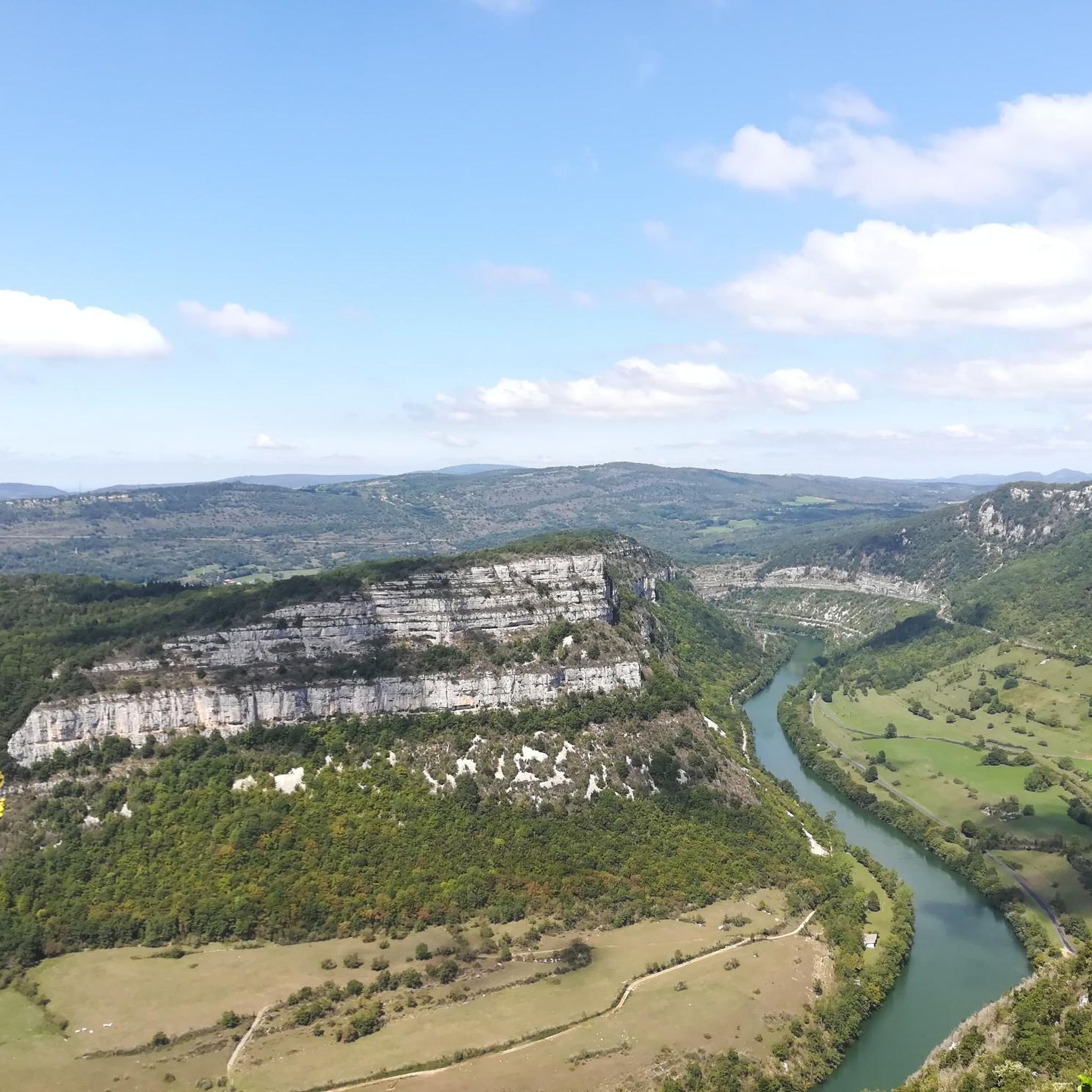
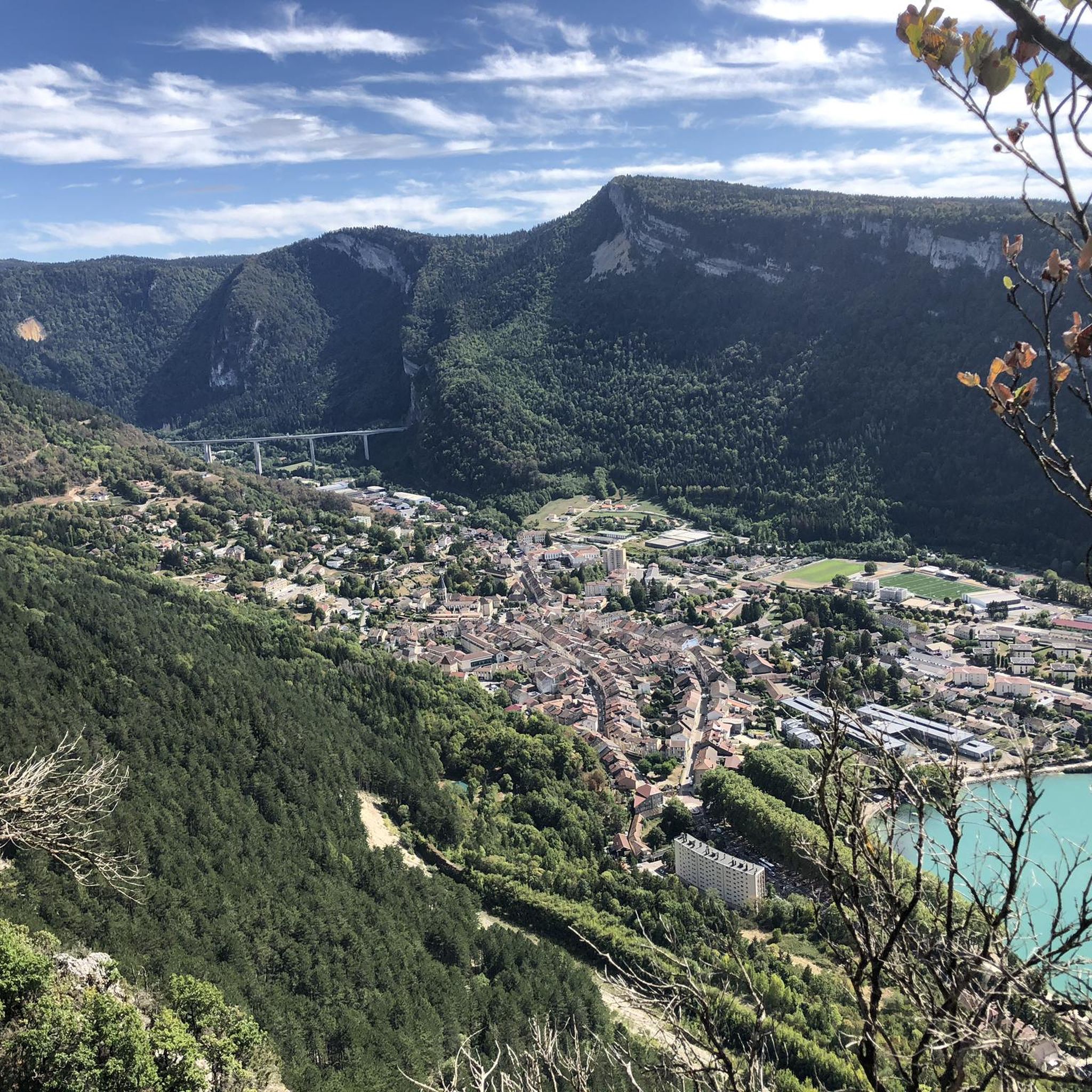
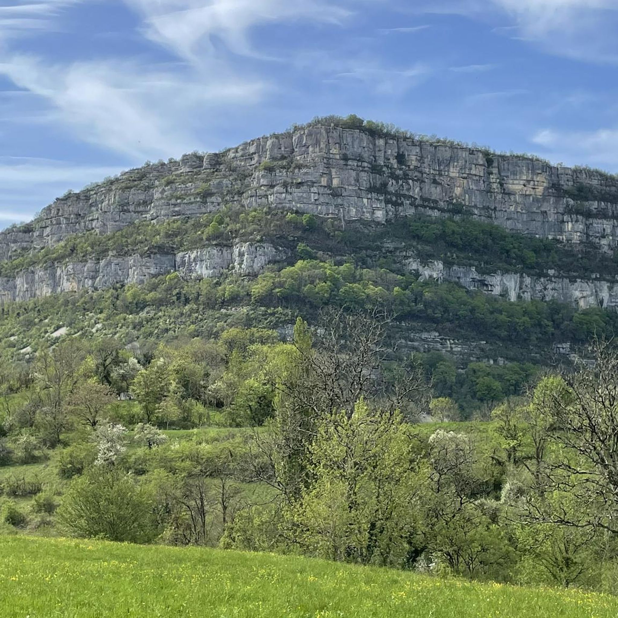

Tips from the Community

The Lac de Nantua is a superb body of water of 141 hectares. In the heart of the Jura, it offers an ideal setting for practicing a multitude of sports. It is even possible to swim in its waters.
1
0
The Marron ponds are named after a family from Brénod, it is not a reference to the color of the water. Only one of them remains filled with water all year round. This one served as a water reserve and fishing spot for the monks of the Meyriat abbey. In spring, a multitude of water lilies cover the surface.
0
0

Beautiful, simple, easy walk; lots of traffic noise on the "road" section, a bit of a shame, but the color of the water is magical
1
0

The Col de Bérentin connects the Valserine Valley to the Retord Plateau, passing through the beautiful Jura forests. Its ascent is gradual and the road is little traveled.
0
0

Description Comté cheeses are made here every morning using traditional techniques. To see Comté being made from the viewing gallery, arrive before 10:30 a.m. Opening Hours From January 2nd to December 31st Open Mondays from 8:30 a.m. to 12:00 p.m. Tuesday, Wednesday, Thursday, Friday, and Saturday from 8:30 a.m. to 12:00 p.m. and from 2:00 p.m. to 6:30 p.m. Sundays from 8:30 a.m. to 12:00 p.m. Exceptionally closed on May 1st and December 25th. Annual closures on May 1st and December 25th.
0
0

Unfortunately I was unlucky with the weather, but even as I drove past the place looked very nice, lots of grass and a place to swim.
0
0

Frequently Asked Questions
How many touring cycling routes are available around Nurieux-Volognat?
There are over 160 touring cycling routes available around Nurieux-Volognat. These routes cater to various skill levels, with options ranging from easy riverside paths to challenging climbs in the Jura massif.
What kind of terrain can I expect on touring cycling routes in Nurieux-Volognat?
Touring cyclists in Nurieux-Volognat can expect a diverse landscape. Routes often traverse the varied terrain of the Jura massif, featuring forests, plateaus, and valleys. You'll also find pleasant cycling along the Ain and Oignin rivers, as well as around glacial lakes like Lake Nantua, Lake Samognat, and Lake Coiselet. The area offers a mix of paved roads and car-free dirt tracks.
What are the difficulty levels of touring cycling routes in Nurieux-Volognat?
The routes around Nurieux-Volognat offer a wide range of difficulty levels. You'll find approximately 20 easy routes, 46 moderate routes, and 97 difficult routes. This variety ensures options for beginners seeking gentle rides and experienced cyclists looking for challenging ascents.
What do other touring cyclists enjoy most about cycling in Nurieux-Volognat?
The touring cycling routes in Nurieux-Volognat are highly rated by the komoot community, with an average score of 4.4 stars from over 200 reviews. Cyclists often praise the region's diverse landscapes, the scenic beauty of the lakes and rivers, and the variety of routes that cater to different abilities.
Are there any family-friendly touring cycling routes in Nurieux-Volognat?
Yes, Nurieux-Volognat offers several family-friendly touring cycling options. Many of the 20 easy routes are suitable for families, often following quiet roads alongside rivers or around the tranquil glacial lakes, providing a safe and enjoyable experience away from heavy traffic.
Are there any circular touring cycling routes in Nurieux-Volognat?
Yes, many touring cycling routes in Nurieux-Volognat are designed as loops. For example, the difficult route Lac de Nantua – Lac de Nantua loop from Brion - Montréal-la-Cluse offers a challenging circuit around Lake Nantua. There are numerous other circular options to explore the region's diverse landscapes.
What interesting landmarks or attractions can I see along the touring cycling routes?
As you cycle, you can encounter several notable landmarks and natural features. The impressive Cize-Bolozon Viaduct is a striking railway bridge over the Ain river. You can also visit historical sites like the former charterhouse of Chartreuse de Sélignac. For natural beauty, the Lake Nantua is a highlight, and the Jarbonnet Rocks offer magnificent views.
Are there any routes that feature waterfalls?
Yes, the region around Nurieux-Volognat features natural attractions including waterfalls. You can find the Cascade de la Pisse Vache, which can be incorporated into your touring cycling adventures for a refreshing stop.
What is the best season for touring cycling in Nurieux-Volognat?
The best season for touring cycling in Nurieux-Volognat is generally spring through autumn. During these months, the weather is typically mild and pleasant, making for ideal cycling conditions. While winter cycling is possible, some higher elevation routes might be affected by snow or colder temperatures.
Are there options for advanced touring cyclists looking for a challenge?
Absolutely. Nurieux-Volognat is home to nearly 100 difficult touring cycling routes, many of which feature significant elevation gain as they traverse the Jura massif. Routes like Cycle path along Lake Nantua – Camping at Lake Nantua loop from Nurieux offer substantial climbs and distances for experienced riders.
Can I find cafes or pubs along the cycling routes in Nurieux-Volognat?
Yes, the region is well-equipped to cater to cyclists. Many towns and villages along the routes, especially those near the lakes or rivers, offer cafes, restaurants, and accommodation options where you can refuel and rest during your tour.
Is public transport available to access the cycling routes?
While specific public transport details for accessing every trailhead are not provided, the Auvergne Rhône-Alpes region generally has a focus on cycling infrastructure. It's advisable to check local bus or train services for connections to key towns like Nurieux-Volognat or Brion - Montréal-la-Cluse, which serve as starting points for many routes.
Are there any less crowded touring cycling routes in Nurieux-Volognat?
To find less crowded routes, consider exploring some of the numerous paths away from the most popular lakeside loops. The region offers many quiet roads along the Ain and Oignin rivers, as well as car-free dirt tracks that provide serene cycling experiences. The sheer number of available routes (over 160) means you can often find peaceful alternatives.
Most popular routes around Nurieux-Volognat
Most popular attractions around Nurieux-Volognat

Get inspired with the komoot mobile app


Explore more
Browse the best Cycling routes in other regions.
