The best road cycling routes in Maryland
4.5
(544)
17,550
riders
1,715
rides
Road cycling routes in Maryland offer a diverse landscape, ranging from the Appalachian Mountains in the west to the coastal plains and the Chesapeake Bay on the east. The state features varied terrain, including forested valleys, rolling hills, and flat coastal paths. This geographical diversity provides a wide array of road cycling experiences across its distinct regions.
Best road cycling routes in Maryland
- The most popular road cycling route is Airport loop — Cantonsville, an 11.1 miles (17.9 km) trail that takes 54 minutes to complete. This easy route offers a straightforward ride through a suburban area.
- Another top favourite among local road cyclists is Chesapeake and Ohio Canal Trail & Seneca Road loop — Bethesda, an easy 20.6 miles (33.2 km) path. This route combines a historic canal towpath with scenic road sections near the Potomac River.
- Local road cyclists also love the Patuxent Research Refuge loop — Green Belt, a 24.3 miles (39.1 km) trail leading through natural refuge lands, often completed in about 1 hour 37 minutes.
- Road cycling in Maryland is defined by its coastal plains, forested areas, and gently rolling hills, with routes available for various fitness levels. The network offers options for different ability levels, from easy, flat rides to more challenging routes with elevation changes.
- The routes in Maryland are highly rated by the komoot community with an average score of 4.5 stars from over 460 reviews. More than 16,000 road cyclists have used komoot to explore Maryland's varied terrain.
Last updated: August 31, 2026
4.7
(10)
171
riders
17.9km
00:54
90m
90m
Embark on an easy road cycling journey along the BWI Trail, a paved loop spanning 11.1 miles (17.9 km) with a gentle elevation gain of 300 feet (92 metres). This route offers a unique blend of scenery, from green spaces and wooded sections to glimpses of a horse farm. You can complete this ride in about 54 minutes, making it an ideal choice for a quick and accessible outing where you might even catch sight of aircraft taking off and landing.
Accessing the BWI Trail is straightforward, with multiple entry points available. Ample parking can be found at locations such as the Thomas A. Dixon, Jr. Aircraft Observation Area, providing a convenient starting point for your ride. If you prefer public transport, the Linthicum Light Rail Station offers another easy way to reach the trail and begin your road cycling adventure.
The BWI Trail stands out for its direct views of aviation activity, particularly from the Thomas A. Dixon, Jr. Aircraft Observation Area, which adds an interesting dimension to your ride. You can also discover local history along the way by spotting the historic Benson-Hammond House. For those looking to extend their journey, the trail connects to the Baltimore & Annapolis (B&A) Trail via the John Overstreet Connector Trail, opening up options for longer rides.
4.0
(3)
84
riders
33.2km
01:31
170m
170m
For an easy road cycling experience near Washington D.C., the MacArthur Boulevard and Capital Crescent Trail Loop offers a pleasant journey. This 20.6-mile (33.2 km) route, with a gentle 547 feet (167 metres) of elevation gain, typically takes about 1 hour and 30 minutes to complete. As you cycle, you'll pass through shaded, wooded sections and enjoy picturesque views of the Potomac River and the C&O Canal, providing a refreshing escape from city life.
Planning your ride is straightforward, as the Capital Crescent Trail section features a well-maintained asphalt surface, perfect for road bikes. You can find convenient parking at various points along the route, including the Angler's Inn parking lot. Be aware that this popular trail is frequently used by both commuters and recreational cyclists, especially during weekdays and on weekends, so expect company on your ride.
One of the route's notable features is the historic Dalecarlia Tunnel, a brick structure dating back to 1910, which you will encounter along the Capital Crescent Trail. Beyond its natural beauty, the loop also guides you through upscale neighborhoods and past charming shops in areas like Cabin John and Glen Echo, adding a touch of local character to your ride.

Sign up for free
3.6
(5)
38
riders
39.1km
01:37
260m
260m
Embark on an easy road cycling adventure through the Patuxent Research Refuge loop, a route that spans 24.3 miles (39.1 km) with a gentle elevation gain of 862 feet (263 metres). You can expect to complete this journey in about 1 hour and 37 minutes, making it ideal for a refreshing ride. As you pedal, you will pass through diverse landscapes of forests, meadows, and wetlands, offering a tranquil atmosphere. Keep an eye out for local wildlife like deer and turtles, especially around the picturesque views near Cash Lake. The route provides a pleasant experience for cyclists looking for a relaxed outing.
Before you set out on the Patuxent Research Refuge loop, be aware of the varied terrain. While much of the route is paved and suitable for road bikes, certain segments in the North Tract consist of unpaved, compacted former tank roads. These sections might be challenging for traditional road bikes and could require a gravel or mountain bike. However, the paved, one-way entrance road to the Visitor Center on the South Tract and Wildlife Way in the North Tract are both suitable for street tires.
This refuge is a significant ecological area, encompassing 12,800 acres and serving as a vital habitat for over 1,100 plant species. It is also a haven for abundant wildlife, including various birds, deer, turtles, and snakes. The refuge is particularly notable for its migratory bird populations, which are especially plentiful during the spring and fall seasons. This makes the Patuxent Research Refuge loop a unique destination for nature observation while enjoying your ride.
5.0
(1)
61
riders
90.9km
03:25
30m
30m
This segment of Delaware Bicycle Route 1 offers a delightful road cycling experience, tracing the scenic coastal areas of southern Delaware. You'll pedal past the historic Fenwick Island Lighthouse, enjoy expansive views over Assawoman Bay, and cross the impressive Charles W. Cullen Bridge. The terrain is largely flat and paved, making it a pleasant ride for those looking to soak in the coastal atmosphere without significant climbs.
To make the most of your ride, consider starting early, especially during warmer months, as parking in coastal towns like Ocean City can become scarce. Spring and fall offer the most comfortable temperatures and fewer crowds, providing a more relaxed journey. Always be mindful of traffic, particularly in developed areas, as some parts of the route share roads with vehicles.
This 56.5-mile (90.9 km) route, with a minimal 106 feet (32 metres) of elevation gain, is rated moderate and typically takes around 3 hours and 25 minutes to complete. It's a fantastic option for cyclists seeking a relatively easy, long-distance ride through diverse landscapes, showcasing the natural beauty and charming towns of Delaware's coastline.
4.6
(13)
25
riders
22.0km
00:59
230m
230m
The Loch Raven Reservoir loop offers a delightful road cycling experience, tracing the shores of the expansive 1,600-acre reservoir. You'll pedal along well-paved roads, enjoying peaceful views of the water and the surrounding Loch Raven Wildlife Area, where oaks and wild roses line the route. Keep an eye out for local wildlife, including bald eagles and osprey, adding to the natural charm of this easy 13.7-mile (22.0 km) ride.
Planning your visit is straightforward, though weekend riders should note the special car-free section of Loch Raven Drive. A 1.7-mile segment is closed to vehicles on Saturdays and Sundays, creating a safer and more enjoyable environment for cyclists. This makes weekend mornings an ideal time to tackle the loop, which typically takes about 59 minutes to complete with its gentle 743 feet (226 metres) of elevation gain.
This popular bike loop around Loch Raven Reservoir is a standout for its combination of accessible terrain and scenic beauty, making it suitable for nearly any fitness level. The reservoir itself is a crucial drinking water source for Baltimore, lending a sense of importance to the tranquil landscape. It's a fantastic option for those seeking a relaxing ride with picturesque viewpoints and a chance to connect with nature.
38
riders
46.5km
02:25
660m
660m
Prepare for a demanding road cycling experience on the Gambrill State Park loop, a moderate route covering 28.9 miles (46.5 km) with a significant 2150 feet (655 metres) of elevation gain. This ride, estimated to take 2 hours and 25 minutes, challenges you with steep gradients as you ascend Catoctin Mountain. The road winds through shaded wooded areas, offering a pleasant environment even during rigorous sections. You will be rewarded with panoramic vistas from the park's three stone overlooks at High Knob, including the Frederick Overlook.
This route is considered challenging due to its steep climbs and descents, so ensure you have good fitness before you start. The park provides an excellent starting point for exploring the extensive network of scenic road routes throughout Frederick County. After your ride, you can easily access local amenities such as breweries or dining options in nearby Frederick City.
The Gambrill State Park loop takes you up Catoctin Mountain, offering a unique perspective of the region's landscape. The park's well-known stone overlooks are a highlight, providing expansive views that make the effort worthwhile. This area is a hub for road cyclists, connecting you to many other routes if you wish to extend your adventure beyond this loop.
5.0
(1)
42
riders
75.7km
03:08
20m
20m
The IRONMAN Loop offers a unique road cycling experience, contrasting sharply with the hilly IRONMAN courses often found elsewhere. This route is exceptionally flat, allowing you to focus on speed and endurance as you glide through the scenic landscapes of Maryland's Eastern Shore. You'll pass by the historic Harriet Tubman State Park and the expansive Blackwater Wildlife Refuge, providing natural and cultural points of interest along your ride. It's a fantastic option for cyclists who appreciate a consistent, uninterrupted pace over varied terrain, making it a favorite for those training or simply enjoying a fast, smooth ride.
Planning your visit to this IRONMAN Loop road cycling route is straightforward, as it's accessible from Cambridge, Maryland. While specific parking information isn't detailed, public parking is generally available in the area. Given the route's length of 47.1 miles (75.7 km) and an estimated duration of 3 hours and 8 minutes, ensure you carry enough water, especially during warmer seasons. An early morning start is often recommended to take advantage of cooler temperatures and potentially less traffic, enhancing your enjoyment of this moderate ride.
This particular IRONMAN Loop stands out for its minimal elevation gain of only 57 feet (17 metres), making it one of the flattest IRONMAN-associated routes you'll encounter. The area around Cambridge, Maryland, is rich in natural beauty, with the Blackwater Wildlife Refuge being a prime example of the region's ecological significance. The route's design caters to road cyclists seeking a fast, efficient workout or a leisurely long-distance ride without the challenge of significant climbs, making it a distinct choice among IRONMAN Loop road cycling options.
1.0
(1)
23
riders
93.6km
04:13
450m
450m
The Baltimore & Annapolis and BWI Trail Loop offers a fascinating road cycling experience, transitioning from the shaded, wooded paths of the B&A Trail to the unique, open vistas around Baltimore/Washington International Airport. You'll enjoy smooth, paved surfaces for much of the 58.2-mile (93.6 km) journey, passing through suburban neighborhoods and natural areas before circling the airport, where you can spot planes from the Thomas A. Dixon, Jr. Aircraft Observation Area. This moderate route, with 1486 feet (453 metres) of elevation gain, provides a diverse ride that keeps things interesting.
Planning your ride on the Baltimore & Annapolis Trail Loop is relatively easy, with numerous access points and amenities. Parking is available at various locations along both trails, and you'll find restrooms and picnic spots, such as at the Earleigh Heights Ranger Station. The route is generally well-maintained and suitable for most road cyclists, though some sections of the BWI Trail have gradual hills and occasional bumpy pavement. To get a good feel for the entire loop, allow for the estimated 4 hours and 13 minutes of cycling time.
This combined loop is notable for its historical significance as a rail-trail and its unique connection to a major airport, being the only airport in the U.S. with a trail fully encircling it. The B&A Trail features historical markers detailing its past, and you can even find a Planet Walk with scale models of the solar system. It's a great option for those looking for a longer road cycling route that blends natural beauty, local history, and a touch of aviation excitement.
5.0
(2)
25
riders
60.3km
02:34
370m
370m
Embark on the North County Bridge Sampler, a moderate road cycling route that guides you through the scenic Maryland countryside. This 37.5 miles (60.3 km) journey features a total elevation gain of 1223 feet (373 metres), offering a good workout that you can complete in about 2 hours and 34 minutes. As you pedal, you will encounter charming historic covered bridges, such as the Roddy Road Covered Bridge, which serve as picturesque landmarks along the way.
When planning your ride, you can typically find parking and access points near the start of the route in the Thurmont area. The trail is mostly on well-paved surfaces, making for a smooth road cycling experience. However, be aware that some segments might be unpaved, which could add a bit of challenge to your ride.
What truly sets this route apart is its unique blend of history and outdoor activity, highlighted by the mid-19th century covered bridges. These structures are not just crossings; they are historical anchors that give the ride a distinct character. The North County Bridge Sampler offers a chance to connect with the past while enjoying a rewarding day on your racebike.
4.0
(1)
26
riders
46.9km
01:47
30m
30m
Embark on an easy racebike journey along the Saint Michaels to Oxford loop, a picturesque route that winds through Talbot County's scenic countryside. You will cover 29.1 miles (46.9 km) with a minimal elevation gain of just 101 feet (31 metres), making it a relaxed ride suitable for most cyclists. Expect to spend around 1 hour and 47 minutes pedaling through charming towns like St. Michaels and Oxford, enjoying lovely vistas of the Miles River and the Tred Avon River. The flat terrain and beautiful waterfronts create a serene atmosphere, perfect for a leisurely outing.
When planning your visit, be aware that while much of the route follows quiet country roads, certain sections, such as along MD 33 and MD 333, can experience heavier traffic. These busier segments often provide wide shoulders for safety, but always remain vigilant. Additionally, exercise caution if you ride on Royal Oak Road between Bellevue and MD 33, as it is known to be narrow with deep ditches. Starting your ride earlier in the day can help you avoid peak traffic times.
This loop offers a unique experience by incorporating the historic Oxford-Bellevue Ferry, providing a peaceful interlude and distinct scenic viewpoints across the water. The journey through Talbot County showcases a rich tapestry of historic towns and natural beauty, making it a popular choice for road cyclists in the Mid-Atlantic region. It's an excellent way to explore the local charm and waterways, offering a different perspective than purely inland routes.
Get access to more routes and recommendations from other explorers.
Sign up for free
Already have an account?
Our route recommendations are based on thousands of hikes, rides, and runs completed by other people on komoot.
Start today with a free account
Your next adventure awaits.
Login or Signup
Popular around Maryland
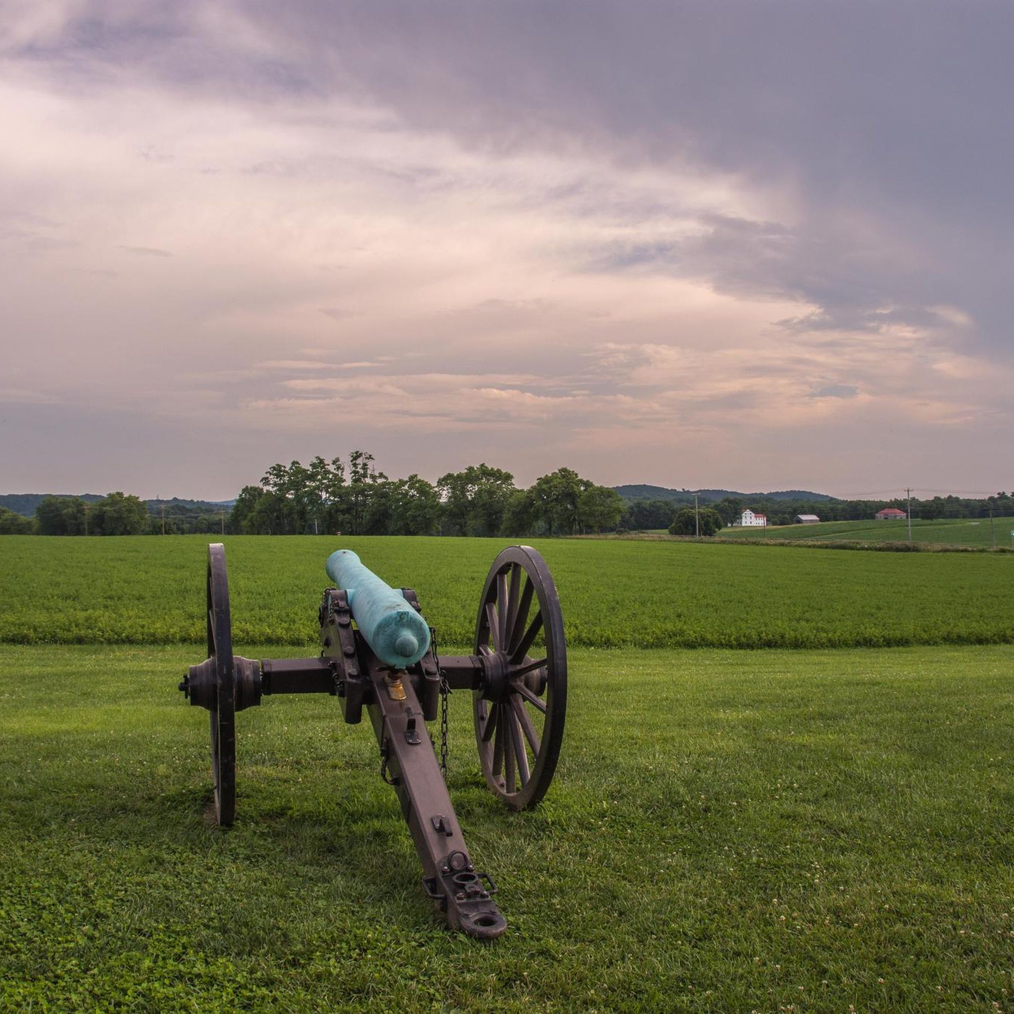
Road Cycling Routes in Frederick County
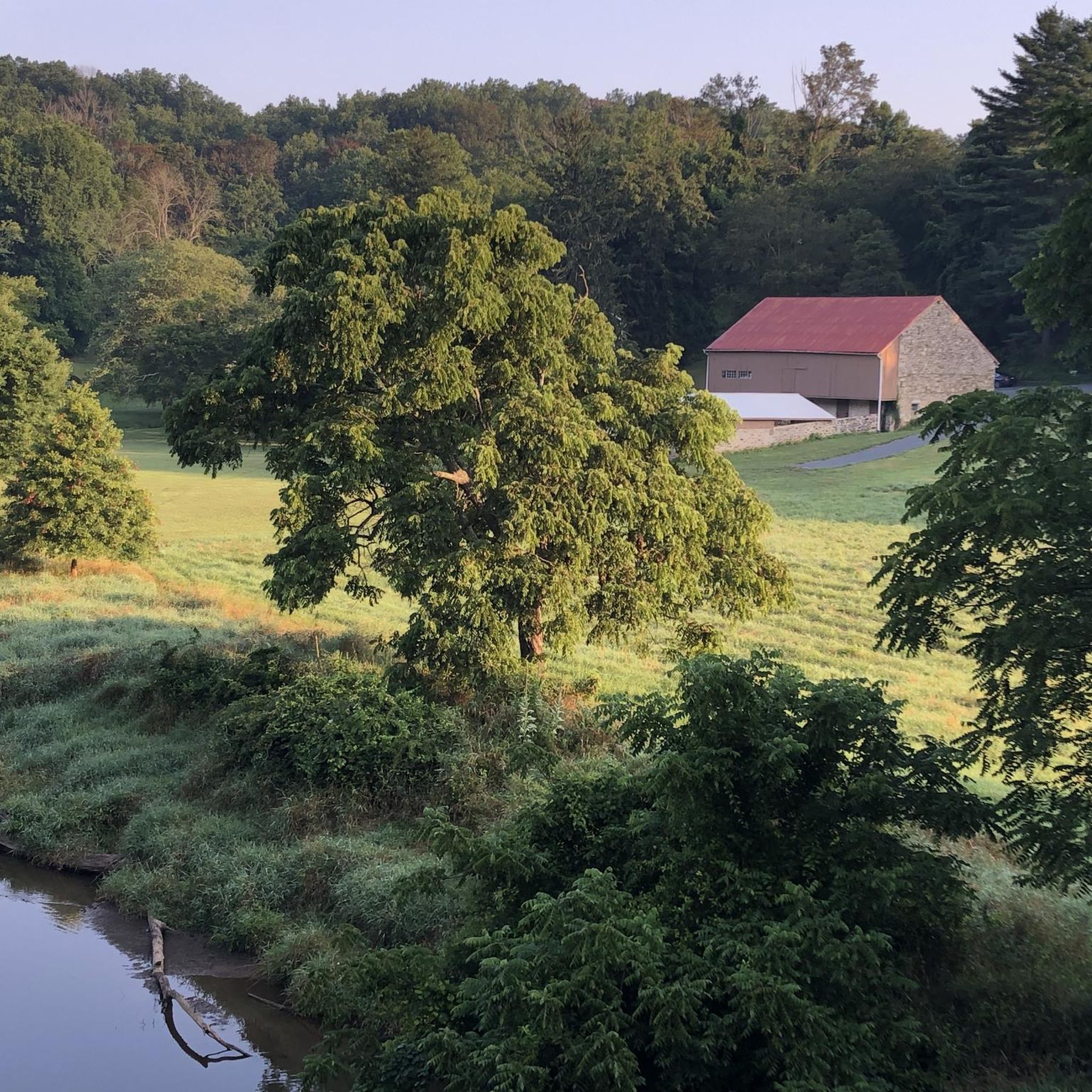
Road Cycling Routes in Baltimore County
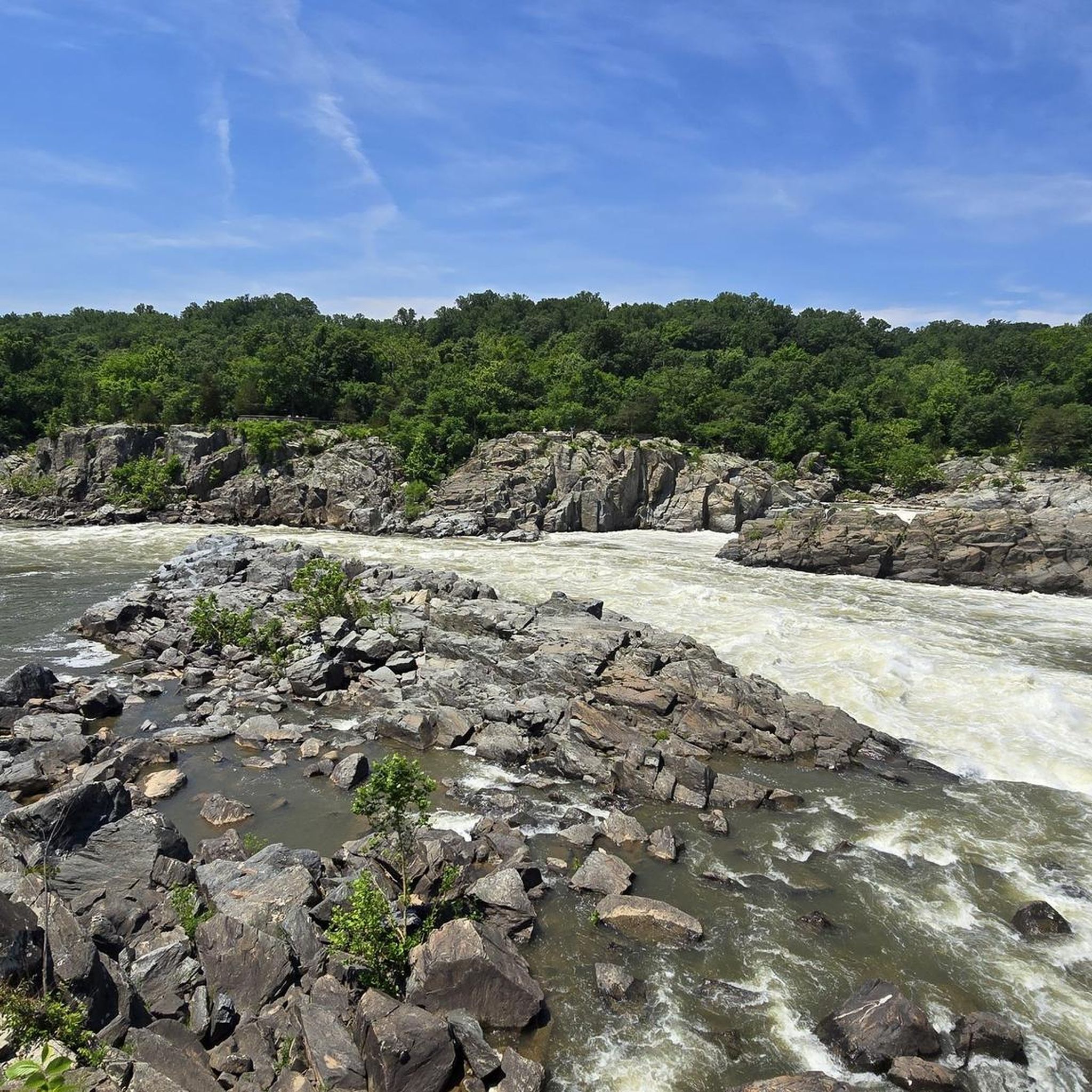
Road Cycling Routes in Montgomery County
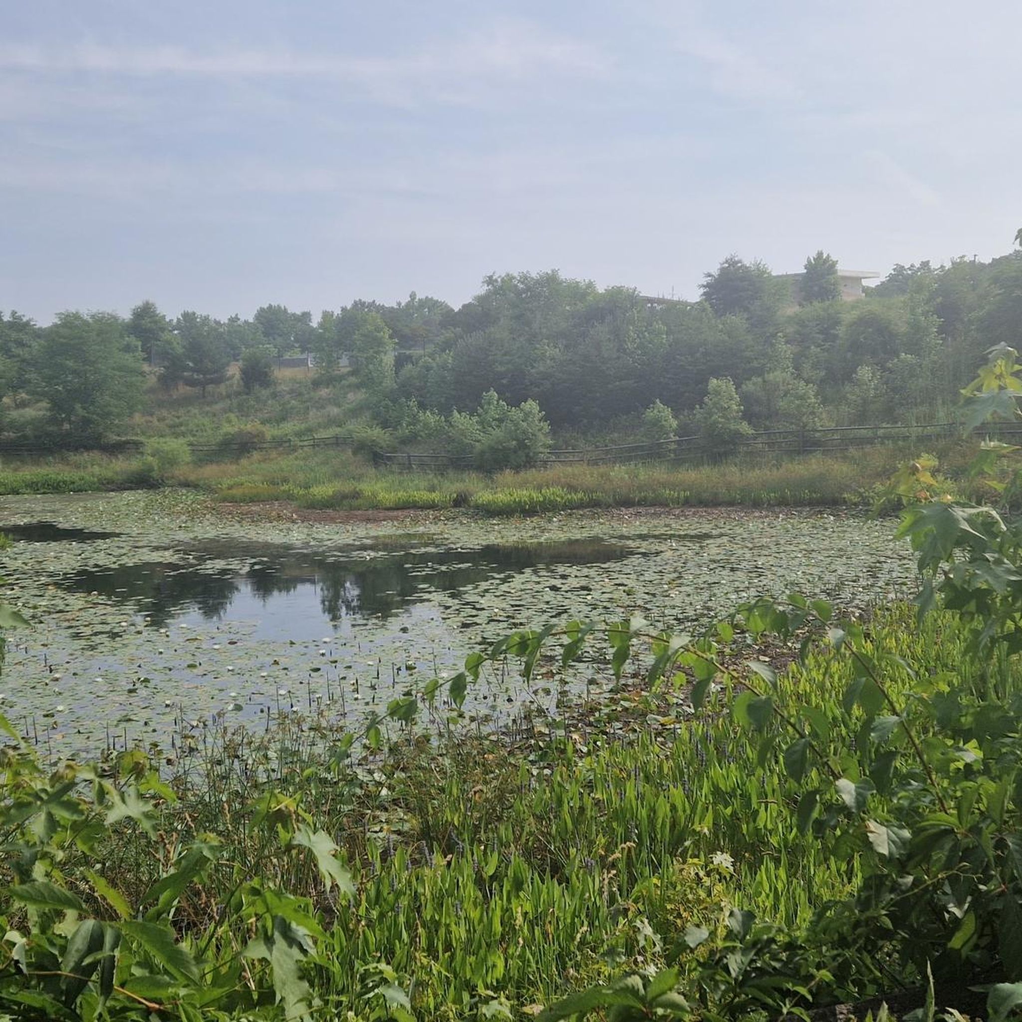
Road Cycling Routes in Anne Arundel County
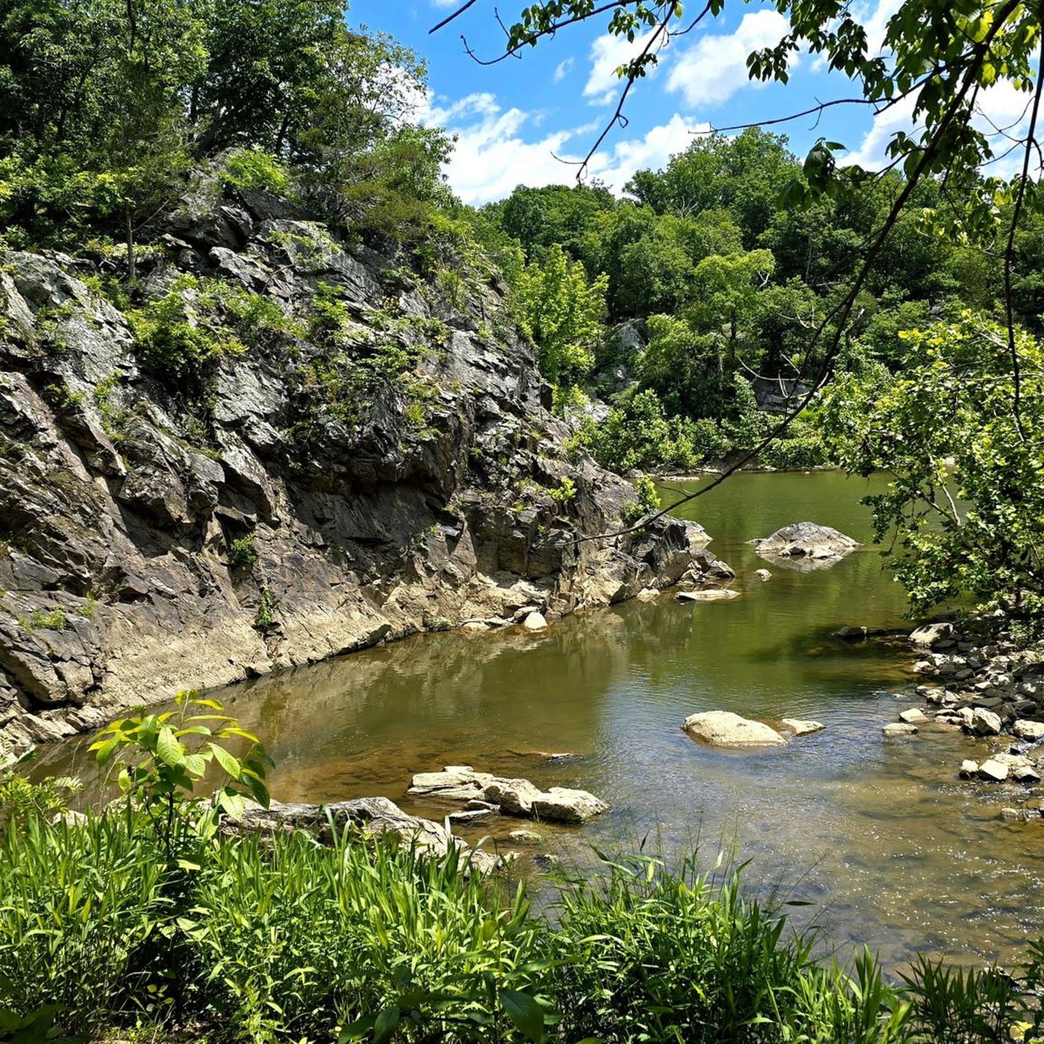
Road Cycling Routes in Queen Anne's County
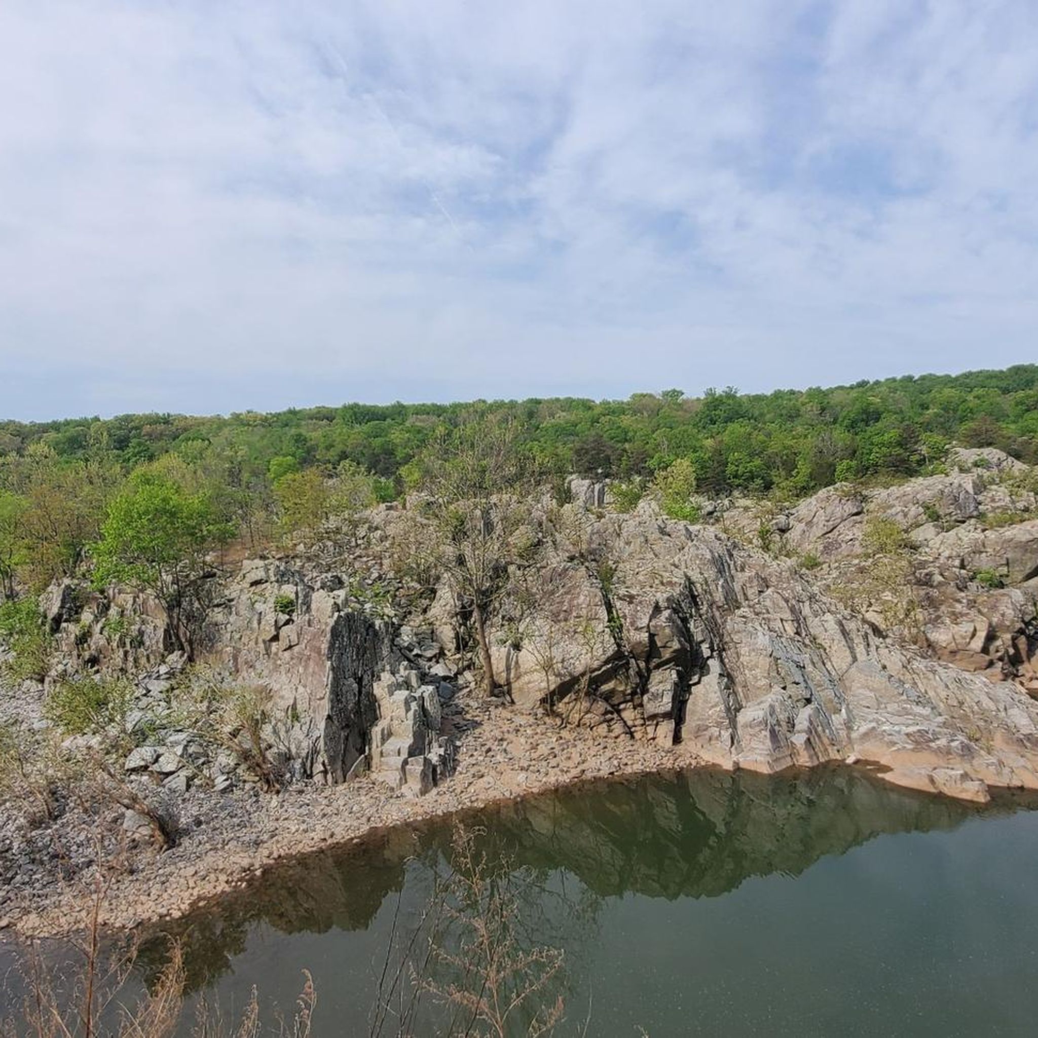
Road Cycling Routes in Harford County
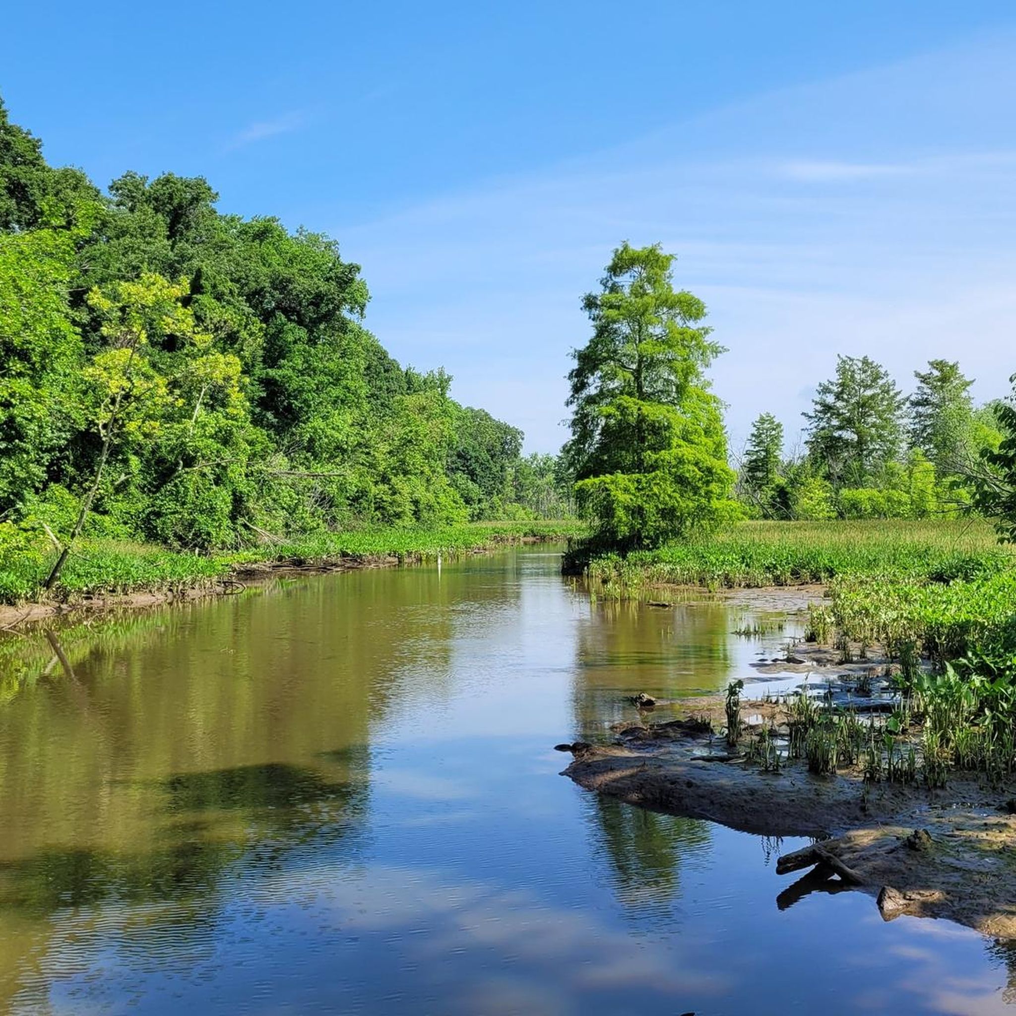
Road Cycling Routes in Prince George's County
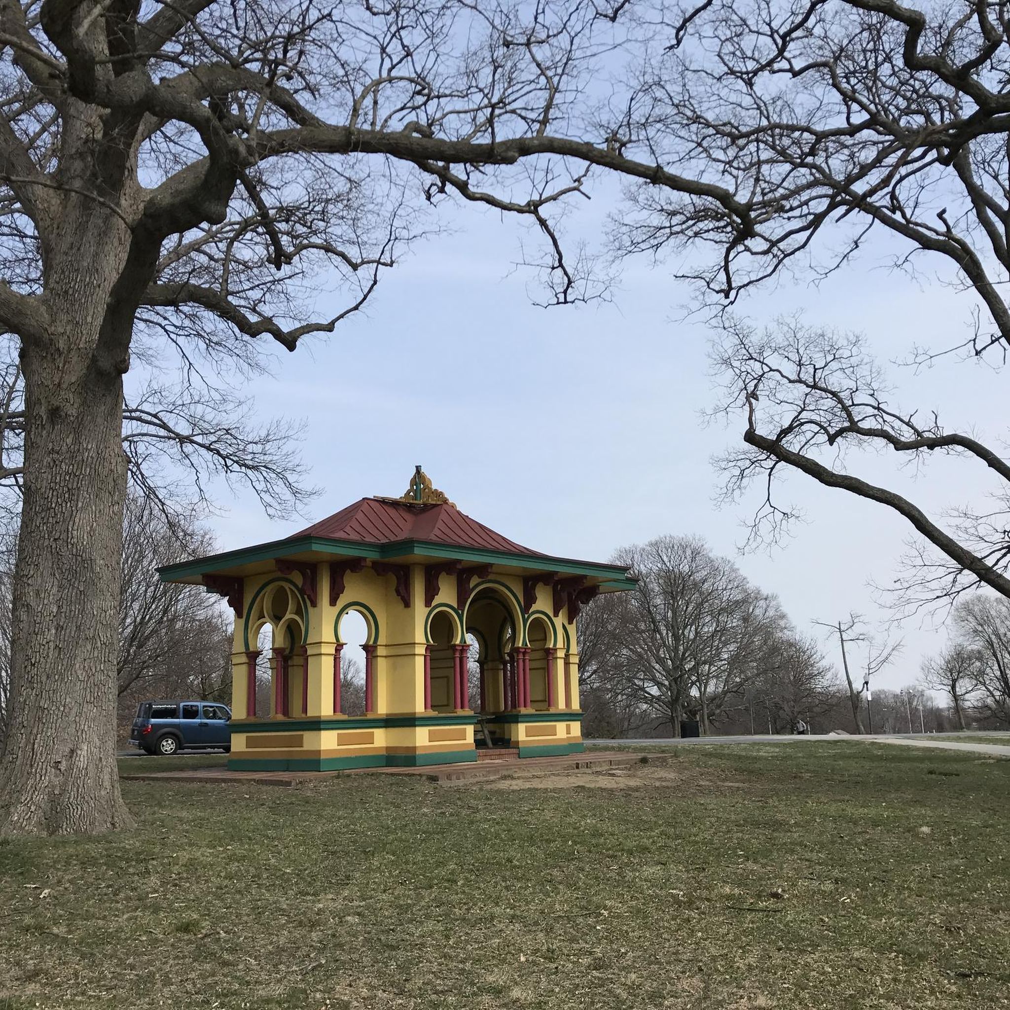
Road Cycling Routes in Baltimore city
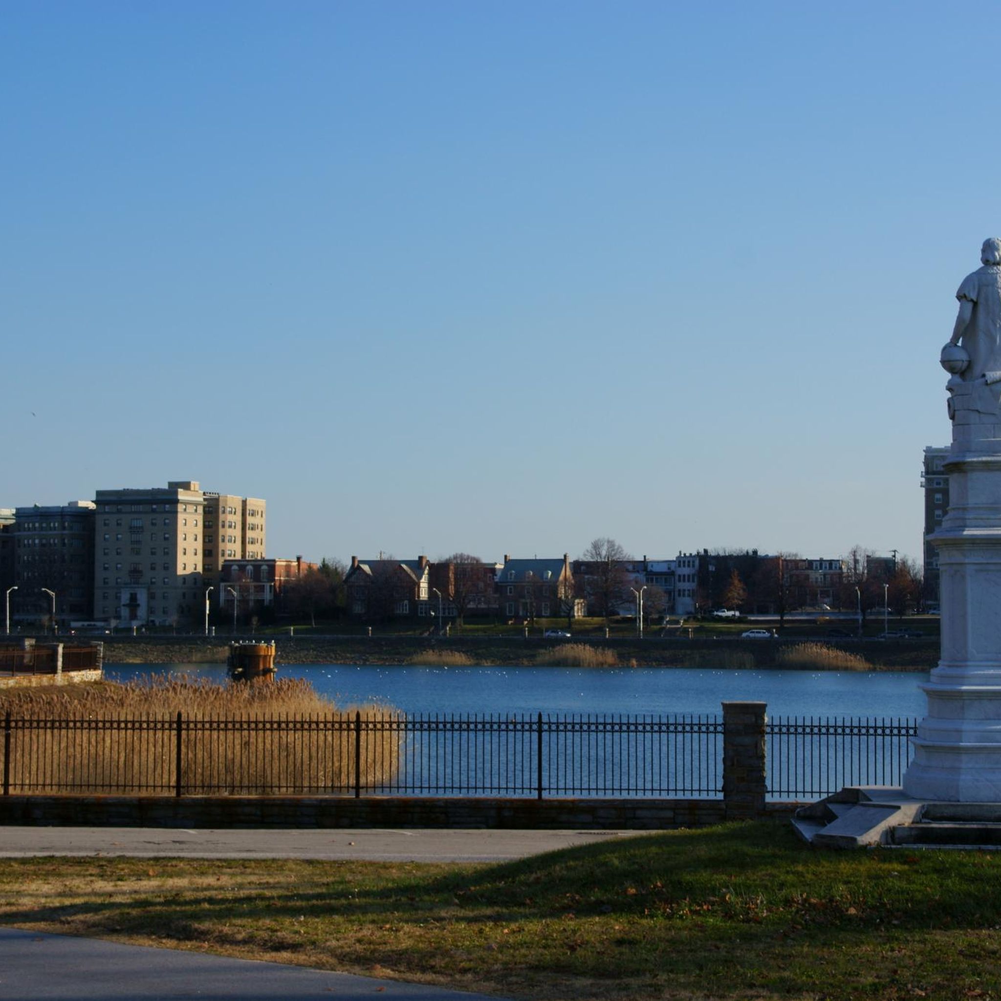
Road Cycling Routes around Baltimore
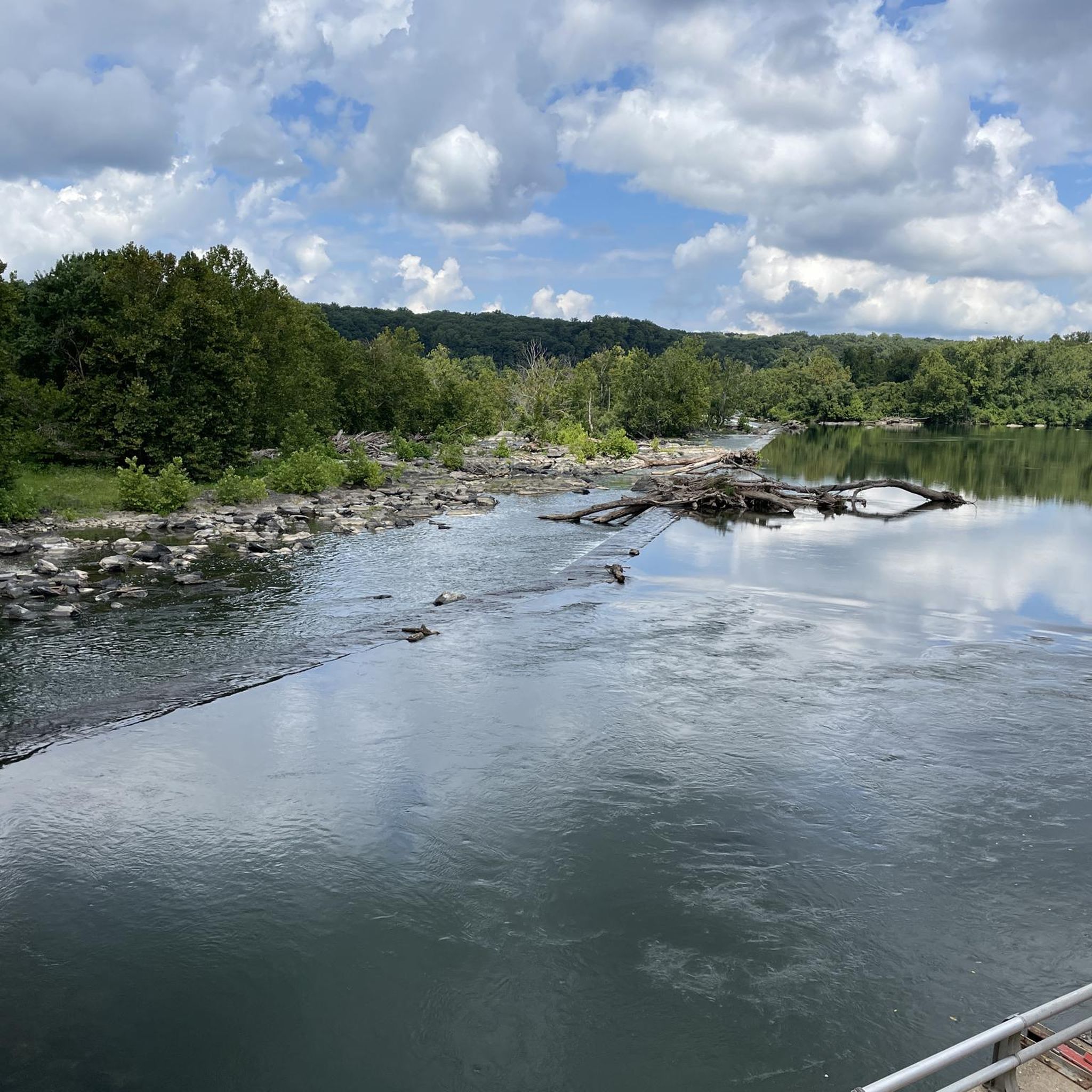
Road Cycling Routes in Howard County
Other adventures in Maryland


Tips from the Community


The Maryland State House in Annapolis is the oldest U.S. legislative building still in active use for legislative purposes. Construction began in 1772 and took until 1797 to complete. Its striking feature is its large wooden dome—built entirely without nails. The U.S. Congress of the Confederation met here between 1783 and 1784. Today, the building is located on the grounds of Fort Williams Park and is managed by the State House Trust.
0
0


The lower parking lot near the Potomac River is a popular spot for kayakers and provides the best access to Billy Goat Trail sections A and B. There are restrooms and a water refill fountain. It fills up quickly on weekends and holidays, often by 7 a.m., so arriving early is recommended to secure a spot.
1
0
Buddy Attick Lake Park offers a flat trail encircling the Greenbelt Lake, giving visitors the opportunity to observe wildlife such as great blue herons, songbirds, turtles, foxes, and squirrels. The park features a playground, a recycling center, restrooms, and well-maintained facilities. This park is a popular spot for watching fireworks on the Fourth of July.
1
0

The BWI Trail is an 11-mile asphalt trail that encircles the BWI Airport. It was designed with commuters in mind, but it also makes for a great recreational outing.
0
0
Great observation area to watch the planes land and take off from BWI Airport.
1
0
Loch Raven Reservoir is a 1,600-acre reservoir and provides drinking water for the City of Baltimore. The area is a popular spot for hiking, rowing, paddleboarding, bird watching, and horseback riding.
0
0
Frequently Asked Questions
What types of terrain can I expect on road cycling routes in Maryland?
Maryland offers a diverse range of road cycling terrain. You'll find everything from the flat, coastal plains and gentle rolling hills of the Eastern Shore to more challenging routes with significant elevation changes in the Appalachian Mountains in the west. Many routes also feature forested valleys and paths alongside the Chesapeake Bay and its tributaries.
Are there road cycling routes suitable for beginners or families in Maryland?
Yes, Maryland has many easy and family-friendly road cycling options. Routes like the Airport loop — Cantonsville offer straightforward rides through suburban areas. The state also features dedicated paved trails like the Baltimore & Annapolis Trail and the BWI Trail, which are generally flat and well-suited for all skill levels.
What are some scenic landmarks or points of interest I can see while road cycling in Maryland?
Maryland's routes often pass by beautiful natural and historical sites. You can cycle near the historic Chesapeake & Ohio Canal, or explore areas with stunning views like those found near Great Falls Overlook and the Great Falls of the Potomac River. Other routes might take you through natural refuges or along the picturesque coastline.
Are there any long-distance road cycling routes in Maryland?
For longer rides, Maryland offers routes that can be combined or are inherently long. The Annapolis to Baltimore loop via Baltimore & Annapolis Trail is a substantial ride, and the Western Maryland Rail Trail can be combined with sections of the C&O Canal Towpath for extended adventures.
What do other road cyclists enjoy most about road cycling in Maryland?
The road cycling routes in Maryland are highly rated by the komoot community, with an average score of 4.5 stars from over 460 reviews. Cyclists frequently praise the varied terrain, from coastal rides to routes with elevation changes, and the opportunity to explore both natural landscapes and historic areas.
Are there road cycling routes that are loops or circular in Maryland?
Yes, many road cycling routes in Maryland are designed as loops, offering convenient starting and ending points. Examples include the Chesapeake and Ohio Canal Trail & Seneca Road loop — Bethesda, the Patuxent Research Refuge loop — Green Belt, and the Loch Raven Reservoir loop — Towson.
Can I find road cycling routes with significant elevation gain in Maryland?
Absolutely. While many routes are relatively flat, Maryland also offers more challenging rides with notable elevation changes, particularly in the western part of the state. For instance, the Gambrill State Park loop — Frederick features over 650 meters of ascent, providing a good workout for experienced cyclists.
Are there road cycling routes near the coast or with water views in Maryland?
Maryland's extensive coastline and Chesapeake Bay region provide excellent opportunities for coastal cycling. The Ocean City coastal ride offers flat, scenic views of the Atlantic, while routes like Cambridge to Blackwater – Taylors Island explore the unique landscapes of the Eastern Shore.
What is the best time of year for road cycling in Maryland?
Maryland offers good cycling conditions across multiple seasons. Spring and fall generally provide the most pleasant temperatures and beautiful scenery, with blooming flowers or vibrant autumn foliage. Summer can be warm, especially in coastal areas, but early mornings are often ideal. Winter cycling is possible, particularly on paved trails, though conditions can vary.
Are there road cycling routes that pass through historic towns or offer cultural experiences?
Yes, Maryland's rich history is often intertwined with its cycling routes. The Baltimore & Annapolis Trail follows an old railroad route with historical markers, and the Chesapeake & Ohio Canal Towpath is a historic trail stretching 184 miles. Routes like the Saint Michaels to Oxford loop take you through charming historic towns on the Eastern Shore.
How many road cycling routes are available in Maryland?
There are over 1,700 road cycling routes available in Maryland on komoot, catering to various fitness levels and preferences. This includes over 500 easy routes, more than 1,000 moderate routes, and over 170 difficult routes for experienced cyclists.
Most popular routes in Maryland
Most popular attractions in Maryland

Get inspired with the komoot mobile app


Didn’t find what you were looking for?
Check out more Road cycling routes throughout Maryland below and find the perfect route in your destination.
Explore more
Browse the best Road cycling routes in other regions.
