The best traffic-free bike rides around Bourg-Argental
4.6
(177)
2,610
riders
18
rides
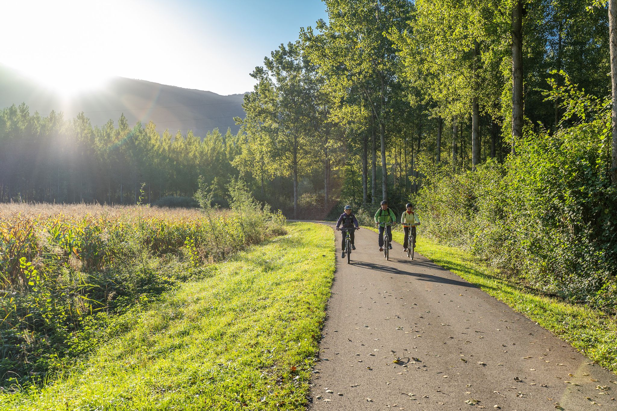
No traffic road cycling routes around Bourg-Argental are situated within the Pilat Natural Regional Park in the Auvergne-Rhône-Alpes region of France. The area features a diverse landscape characterized by significant forest cover and extensive meadows, with Bourg-Argental itself positioned at the confluence of three rivers. The terrain includes challenging mountain passes and varied elevations, offering a range of ascents for road cyclists. This setting provides an environment with quiet roads and scenic natural features.
Best no traffic road cycling routes…
Last updated: July 3, 2026
4.5
(2)
18
riders
38.5km
02:03
670m
670m
Moderate road ride. Good fitness required. Mostly well-paved surfaces and easy to ride.
4.8
(4)
13
riders
17.7km
00:53
260m
250m
Easy road ride. Great for any fitness level. Mostly well-paved surfaces and easy to ride.

Sign up for free
4.7
(6)
82
riders
53.8km
02:40
820m
820m
Moderate road ride. Good fitness required. Mostly well-paved surfaces and easy to ride.
4.8
(4)
21
riders
35.1km
01:54
700m
700m
Moderate road ride. Good fitness required. Mostly well-paved surfaces and easy to ride.
1.0
(1)
18
riders
20.4km
00:56
260m
260m
Easy road ride. Great for any fitness level. Mostly well-paved surfaces and easy to ride.
Get access to more routes and recommendations from other explorers.
Sign up for free
Already have an account?
Our route recommendations are based on thousands of hikes, rides, and runs completed by other people on komoot.
Start today with a free account
Your next adventure awaits.
Login or Signup




Tips from the Community

This picnic area offers a superb view of Bourg-Argental.
0
0

Climbed from Serrières, passing through the vineyards to avoid the main road. A real pleasure to climb, the road is not very busy.
0
0

This former shelter, located along the Via Fluvia, is enjoying a new lease of life thanks to the determination of the local heritage conservation association. It makes a lovely rest area; there's even a beautiful waterfall right across the street, and easy access to the river.
0
0

Built in 1858 to supply Annonay with drinking water, the Ternay dam now offers a pleasant shaded place where walkers and runners meet.
0
0

Magnificent winding road on the edge of the canyon.
0
0

Super nice route by bike. Tarred throughout and therefore also great for racing cyclists! Coming from Annonay, you first drive briefly on the normal road and turn off it before it leads uphill again (and becomes multi-lane). Then comes this stretch that doesn't want to end and looks like a little paradise: the stream called below, trees, birds, shady passages, no traffic, gentle gradient, .... Can certainly also be driven uphill very well. Be sure to plan!
1
1

The Col du Fayet is 9.68m long with a total drop of 470m. The average gradient is 4.86% with maximum gradients of 7.1%.
1
0
A large viaduct of an old railway which came from Firminy and went to Saint-Rambert d'Albon.
0
0
Frequently Asked Questions
How many no-traffic road cycling routes are available around Bourg-Argental?
There are 15 dedicated no-traffic road cycling routes around Bourg-Argental listed on komoot, offering a variety of distances and difficulty levels to explore the Pilat Natural Regional Park.
Are there any easy, traffic-free road cycling routes suitable for beginners or families?
Yes, Bourg-Argental offers several easy, traffic-free routes. For a gentle introduction, consider the Fayet Loop, which is just under 18 km with a manageable 260 meters of elevation gain. The region is known for its quiet roads, making it ideal for a relaxed ride.
What are the best seasons for no-traffic road cycling in Bourg-Argental?
The best seasons for no-traffic road cycling in Bourg-Argental are generally spring, summer, and early autumn. During these months, the weather is most favorable, and the natural landscapes of the Pilat Natural Regional Park are at their most vibrant. Summer offers long daylight hours, while spring and autumn provide cooler temperatures and beautiful foliage.
Are there any circular no-traffic road cycling routes in the area?
Many of the no-traffic road cycling routes around Bourg-Argental are circular, allowing you to start and finish at the same point. An example is the Col du Fayet (611 m) – Col du Fayet loop from Saint-Clair, a moderate 45.6 km ride with scenic views.
What kind of landscapes can I expect on these traffic-free routes?
The routes traverse the diverse landscapes of the Pilat Natural Regional Park, characterized by significant forest cover and extensive meadows. You'll experience varied topography, including ascents to mountain passes and descents into valleys, often with impressive panoramic views. The region is also at the confluence of three rivers, adding to its natural beauty.
What are some challenging traffic-free road cycling routes for experienced riders?
For experienced riders seeking a challenge, the region offers routes with significant elevation gains. While specific 'difficult' no-traffic routes are fewer, many moderate routes like the Tour of the Cance Valley from Annonany (38.5 km with 669m elevation) provide a good workout. The 'great passes of Pilat' are locally renowned for their demanding climbs on quiet roads.
What attractions or viewpoints can I find along the no-traffic road cycling routes?
Many routes offer access to stunning viewpoints and natural landmarks. You might pass by areas with views of prominent summits like Crêt de l'Œillon or Crêt de la Perdrix, which provide panoramic vistas of the Rhône valley and, on clear days, even the Mont-Blanc range. The geological formation of The Three Teeth also offers incredible views of the Pilat ridges.
Are there any routes that pass by lakes or water bodies?
Yes, some routes will take you near water bodies. For example, the Col du Fayet – Ternay Dam and Lake loop from Annonay specifically includes Lac du Ternay, a popular spot in the region. The Gorges de la Loire are also nearby, offering scenic views and opportunities for other water-based activities.
What do other road cyclists say about the no-traffic routes in Bourg-Argental?
The no-traffic road cycling routes around Bourg-Argental are highly rated by the komoot community, with an average score of 4.66 stars from 78 ratings. Reviewers often praise the exceptional natural environment, the quiet roads, and the impressive panoramas encountered during ascents.
Where can I find more information about the cycling infrastructure in the Pilat Natural Regional Park?
The Monts du Pilat have been recognized by the French Cycling Federation (FFC) as a designated cycling territory, featuring eight diverse routes. For more details on the broader cycling offerings and infrastructure in the region, you can visit the official Pilat Tourisme website: pilat-tourisme.fr.
Are there any routes that start from specific towns or villages near Bourg-Argental?
Yes, many routes are designed to start from various points within the region. For instance, you can find routes departing from Annonay, Saint-Clair, or Vanosc. The Roadbike loop from Vanosc is a moderate 35 km route that begins and ends in Vanosc, offering a convenient starting point.
Most popular routes around Bourg-Argental
Most popular attractions around Bourg-Argental

Get inspired with the komoot mobile app


Explore more
Browse the best Road cycling routes in other regions.
