The best cycling routes around Bourg-Argental
4.7
(205)
2,517
riders
22
rides
Touring cycling around Bourg-Argental offers diverse landscapes within the Pilat Natural Regional Park. The region is characterized by a dynamic terrain with altitudes ranging from 450 to 1003 meters, featuring extensive prairies and dense forests. Three rivers—the Déôme, the Riotet, and the Argental—converge here, contributing to varied geography. Cyclists can navigate routes that include challenging ascents over mountain passes like Col de l'Œillon and Col de la République, as well as scenic paths along river valleys.
Best touring cycling routes…
Last updated: July 1, 2026
5.0
(4)
40
riders
34.0km
02:08
400m
400m
Moderate bike ride. Good fitness required. Mostly paved surfaces. Suitable for all skill levels.
5.0
(1)
12
riders
50.4km
03:38
1,040m
1,040m
Hard bike ride. Very good fitness required. Mostly paved surfaces. Suitable for all skill levels.

Sign up for free
13
riders
32.4km
03:19
1,100m
1,100m
Hard bike ride. Very good fitness required. Mostly paved surfaces. Suitable for all skill levels.
5.0
(1)
19
riders
24.5km
01:34
310m
310m
Moderate bike ride. Good fitness required. Mostly paved surfaces. Suitable for all skill levels.
5.0
(1)
11
riders
Hard bike ride. Very good fitness required. Mostly paved surfaces. Suitable for all skill levels.
Get access to more routes and recommendations from other explorers.
Sign up for free
Already have an account?
Our route recommendations are based on thousands of hikes, rides, and runs completed by other people on komoot.
Start today with a free account
Your next adventure awaits.
Login or Signup
Popular around Bourg-Argental




Tips from the Community

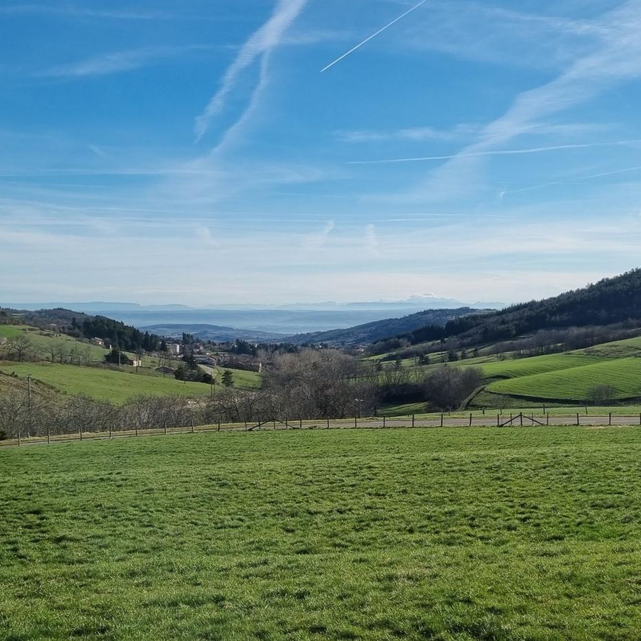
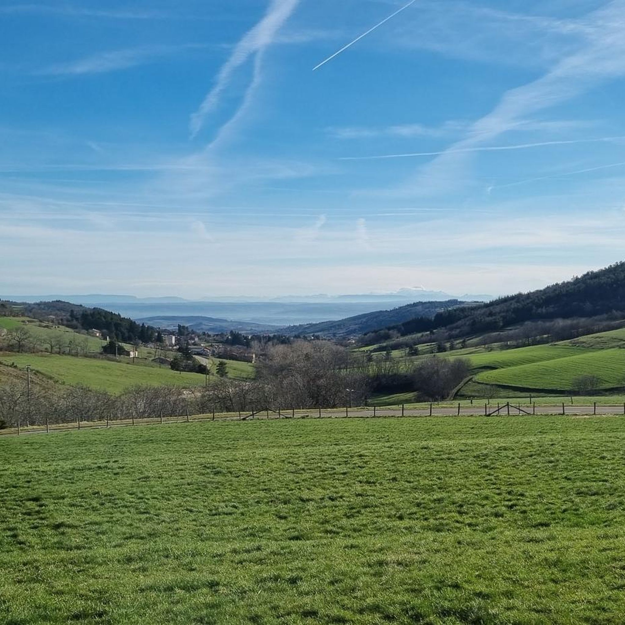
This picnic area offers a superb view of Bourg-Argental.
0
0

What a pain in the ass!
0
0

Climbed from Serrières, passing through the vineyards to avoid the main road. A real pleasure to climb, the road is not very busy.
0
0

This former shelter, located along the Via Fluvia, is enjoying a new lease of life thanks to the determination of the local heritage conservation association. It makes a lovely rest area; there's even a beautiful waterfall right across the street, and easy access to the river.
0
0
Due to land constraints, the Via Fluvia has no choice but to follow a gradient of approximately 18% on this section. Nicely landscaped, it nonetheless remains a pleasant little climb that lasts only a very short time.
2
0

Built in 1858 to supply Annonay with drinking water, the Ternay dam now offers a pleasant shaded place where walkers and runners meet.
0
0

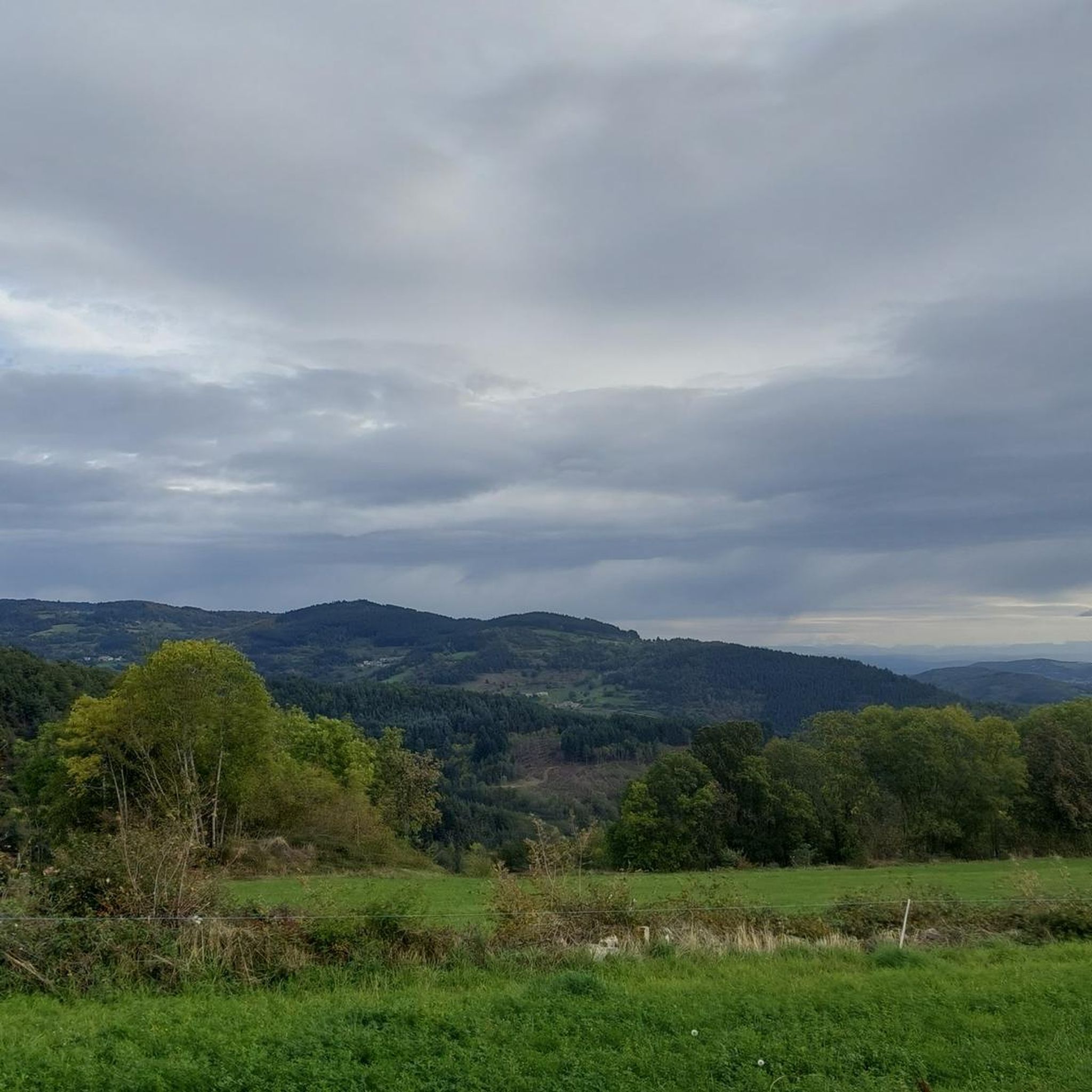
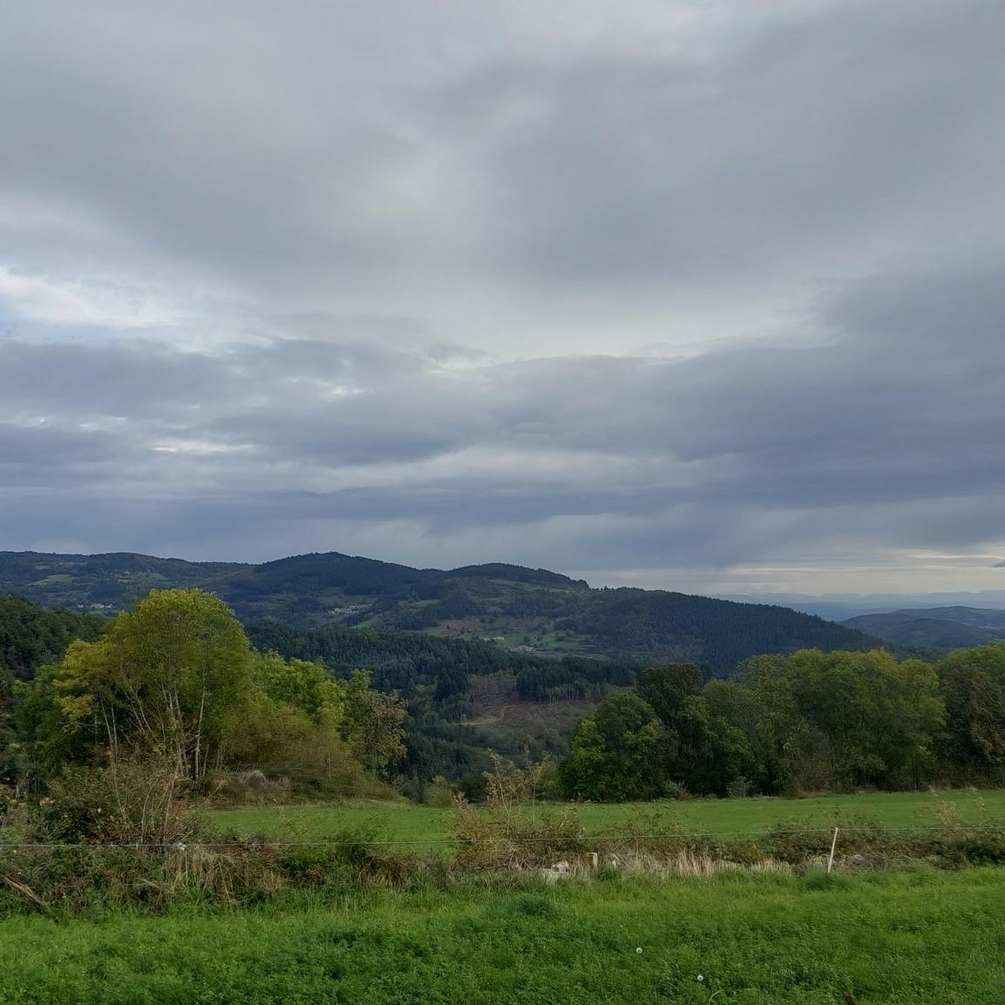
Magnificent panoramas of the Alps, the Rhône valley, Pilat and the Monts du Vivarais, almost a 360°!
2
0
The Via Fluvia is a cycle route of more than 80 km developed and secured through the Loire, Haute-Loire and Ardèche. Recognizable by the diversity of its landscapes, this route, which follows an old railway line, is accessible to as many people as possible (bicycles, pedestrians, scooters, etc.).
0
0
Frequently Asked Questions
How many touring cycling routes are available around Bourg-Argental?
There are over 20 touring cycling routes mapped on komoot around Bourg-Argental, offering a variety of experiences for different skill levels. You'll find options ranging from moderate loops to challenging climbs through the region's mountainous terrain.
What kind of terrain and difficulty can I expect on touring cycling routes in Bourg-Argental?
The routes around Bourg-Argental are primarily characterized by high-altitude landscapes, dense forests, and green meadows. You can expect significant elevation changes, with many routes featuring challenging mountain passes like the Col de la République and Col du Tracol. While most routes are rated difficult, there are also moderate and a few easier options available.
Are there any easy or family-friendly touring cycling routes in Bourg-Argental?
While many routes in Bourg-Argental are challenging, there are some more accessible options. For a moderate experience, consider the Ternay Dam Loop – Ternay Dam and Lake loop from Bourg-Argental, which offers scenic views around the tranquil Ternay Dam. For families, it's best to look for routes with less elevation gain and well-paved surfaces, often found around the dam or specific sections of the Via Fluvia.
What are some notable landmarks or viewpoints I can see while cycling around Bourg-Argental?
The region offers stunning natural viewpoints and historical landmarks. You can cycle past the tranquil Ternay Dam and Lake, or challenge yourself to reach mountain passes like the Col de la République and Col du Tracol, which offer expansive views. For panoramic vistas, consider routes that pass near Crêt de l'Œillon or The Three Teeth. The historic Chapel and Cross of Argental are also significant local sights.
Are there any circular touring cycling routes in the Bourg-Argental area?
Yes, many of the touring cycling routes around Bourg-Argental are designed as loops, allowing you to start and end in the same location. Examples include the Papeterie d'Annonay – Viaduc de Pupil loop from Bourg-Argental and the Col du Tracol – Col de la République loop from Bourg-Argental, which takes you through significant mountain passes.
What is the best time of year to go touring cycling in Bourg-Argental?
The spring and summer months are generally ideal for touring cycling in Bourg-Argental, when the green meadows are vibrant with flowers and the weather is most favorable for high-altitude cycling. Autumn can also be beautiful with changing foliage, but be prepared for cooler temperatures, especially at higher elevations. Winter cycling might be challenging due to snow and ice on mountain passes.
What do other touring cyclists enjoy most about cycling in Bourg-Argental?
The touring cycling routes in Bourg-Argental are highly rated by the komoot community, with an average score of 4.7 stars. Cyclists often praise the diverse landscapes, the challenge of the mountain passes, and the stunning panoramic views, especially from peaks like Crêt de l'Œillon. The mix of dense forests and open meadows also contributes to a rewarding experience.
Are there any specific long-distance cycling routes that pass through Bourg-Argental?
Yes, the Via Fluvia, a dedicated cycle route, connects Riotord to Bourg-Argental. This route partially follows a former railway line and includes a significant climb to the Col du Tracol, offering high-altitude scenery and amenities in Bourg-Argental itself.
Where can I find amenities like shops, restaurants, or accommodation in Bourg-Argental?
Bourg-Argental itself serves as a convenient base for touring cyclists, offering various amenities. You'll find shops, restaurants, and accommodation options within the town, making it easy to resupply or rest after your rides. The local Tourist Office, housed in the historic La Maison du Châtelet, can also provide information.
Are there any routes that offer significant climbs or are particularly challenging?
Absolutely. Bourg-Argental is known for its challenging ascents. The southern ascent of the Col de la République from Bourg-Argental is a historically significant climb featured in the Tour de France, known for its consistent gradients. The Col de l'Œillon is also classified as 'out of category' from the Rhône banks, offering superb 360-degree panoramas, especially when extended to Crêt de l'Œillon.
What are the typical distances for touring cycling routes around Bourg-Argental?
The touring cycling routes around Bourg-Argental vary in length. You can find routes ranging from around 22 km (13.8 miles) for a moderate loop like the Saint-Blaise Church – Bourg-Argental mountain bike circuit loop from Bourg-Argental, up to over 50 km (31.3 miles) for more challenging tours such as the Col du Tracol – Col de la République loop from Bourg-Argental.
Most popular routes around Bourg-Argental
Most popular attractions around Bourg-Argental

Get inspired with the komoot mobile app


Explore more
Browse the best Cycling routes in other regions.
