The best running trails around Bourg-Argental
4.5
(159)
4,832
runners
241
runs
Jogging routes around Bourg-Argental are situated within the Pilat Natural Regional Park, offering a diverse natural environment for runners. The region features picturesque landscapes, including the notable Lac du Ternay and deeply incised valleys, providing varied terrain. Its location at the confluence of three rivers contributes to a mix of running surfaces, from easy paths to more challenging trails with significant elevation gains. This area is characterized by a blend of natural features and historical sites, making for scenic and…
Last updated: July 1, 2026
24
runners
13.6km
01:26
160m
160m
Moderate run. Good fitness required. Mostly paved surfaces. Suitable for all skill levels.
10
runners
Hard run. Very good fitness required. Mostly paved surfaces. Suitable for all skill levels.

Sign up for free
9
runners
9.56km
01:12
280m
280m
Moderate run. Good fitness required. Mostly paved surfaces. Suitable for all skill levels.
3
runners
Hard run. Very good fitness required. Mostly paved surfaces. Suitable for all skill levels.
5
runners
6.17km
00:49
240m
240m
Moderate run. Good fitness required. Mostly paved surfaces. Suitable for all skill levels.
Get access to more routes and recommendations from other explorers.
Sign up for free
Already have an account?
Our route recommendations are based on thousands of hikes, rides, and runs completed by other people on komoot.
Start today with a free account
Your next adventure awaits.
Login or Signup
Popular around Bourg-Argental




Tips from the Community

A massive, stone-built base supports the "Croix de Chirole," a symbol commemorating the crucifixion and resurrection of Jesus Christ, crowning the summit plateau. The two wooden beams of this small sacred monument clearly show the effects of wind and weather. The large body of the crucified Christ, however, whose light color clearly stands out against the background of the dark beams, appears to have been relatively recently restored or perhaps even renewed.
0
0

This former shelter, located along the Via Fluvia, is enjoying a new lease of life thanks to the determination of the local heritage conservation association. It makes a lovely rest area; there's even a beautiful waterfall right across the street, and easy access to the river.
0
0

A pleasant path of about 4 kilometers, called the "Chemin de Ronde", lined with Cedars of Lebanon and a few sequoias, goes around this 30-hectare lake.
0
0
Built in 1858 to supply Annonay with drinking water, the Ternay dam now offers a pleasant shaded place where walkers and runners meet.
0
0

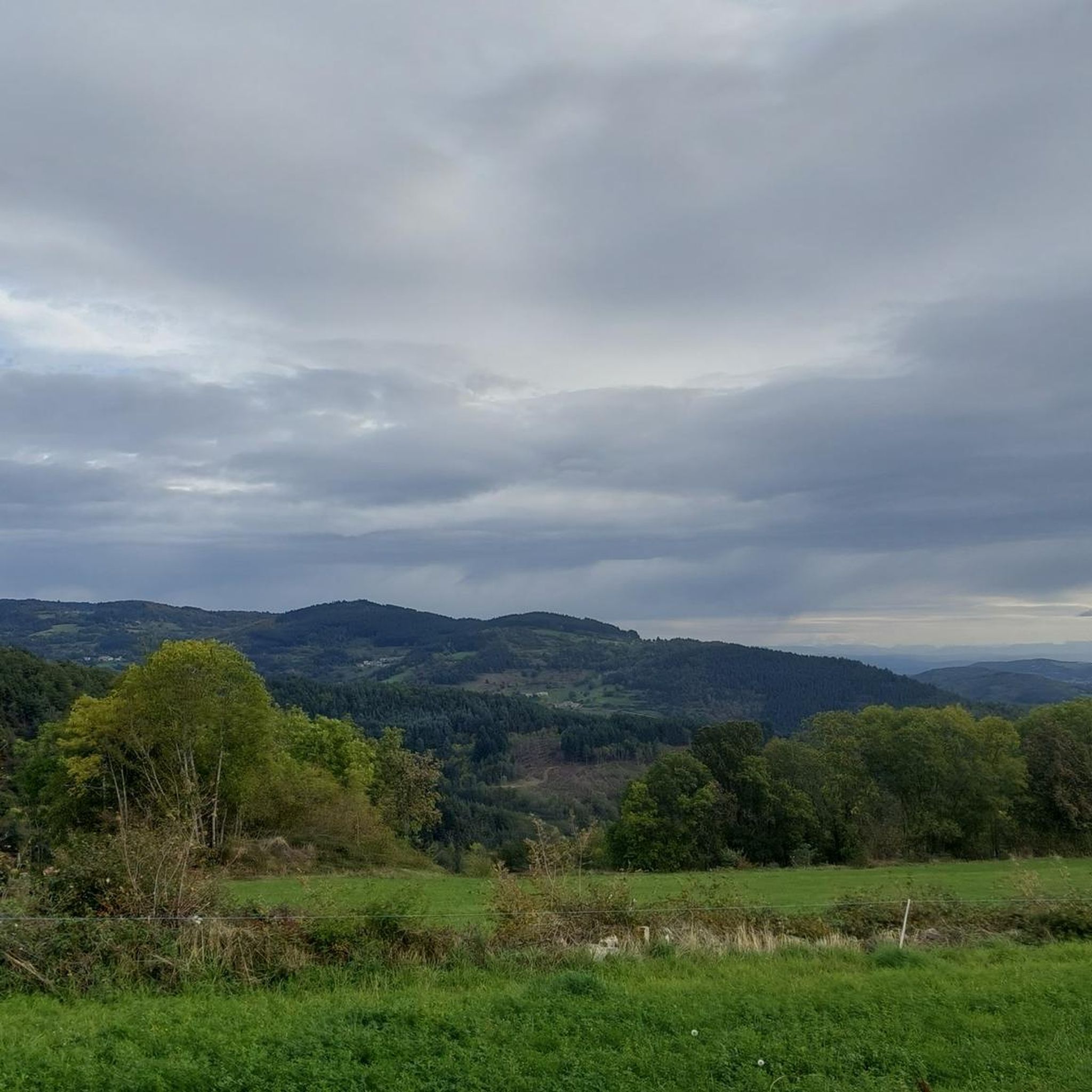
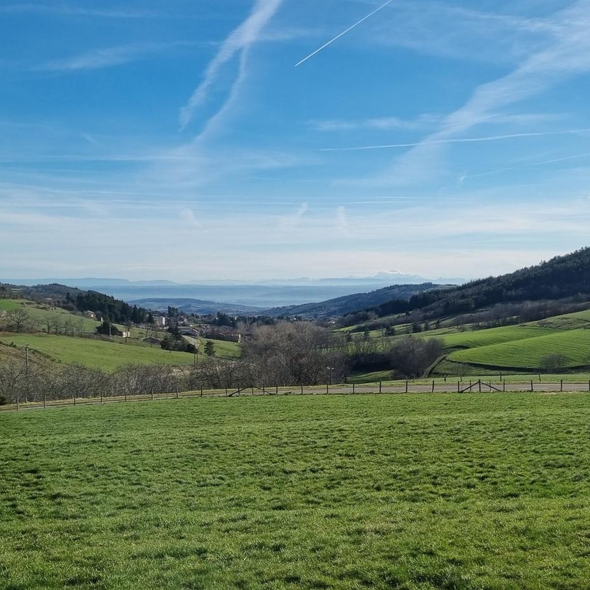
From its 915 meters, you can see through three valleys, the central massif and the Alps. Stunning panoramas.
3
0

The Saint-André church was built in 844 initially. It was the subject of successive additions until 1840, when it was classified as a historical monument. Its portal is both imposing and graceful. If you are lucky, you can listen to his magnificent organ behind the altar.
0
0

Frequently Asked Questions
How many running routes are available around Bourg-Argental?
Bourg-Argental offers a wide variety of running opportunities, with over 230 routes available. These range from easy, flat paths to more challenging trails with significant elevation changes, catering to all fitness levels.
What kind of terrain can I expect on the jogging trails in Bourg-Argental?
The terrain around Bourg-Argental is quite diverse, reflecting its location within the Pilat Natural Regional Park. You'll find everything from shaded, relatively flat paths around Lac du Ternay to more rugged trails with notable elevation gains as you explore the deeply incised valleys and hills of the region.
Are there any easy or beginner-friendly running routes in the area?
Yes, there are several easy running routes perfect for beginners or a relaxed jog. A popular choice is the Lac du Ternay — loop, which is about 3.8 km (2.4 miles) and offers a shaded, scenic path around the lake, lined with cedars and sequoias.
What are some notable natural features or landmarks to see while running?
While running in Bourg-Argental, you can enjoy several natural and historical landmarks. The most prominent is Lac du Ternay and its historic Ternay Dam, built in 1858. The Pilat Natural Regional Park itself offers extensive natural beauty. For those seeking higher views, highlights like Col de l'Œillon (1233 m) or Crêt de l'Œillon provide stunning vistas.
Are there any circular running routes available?
Many of the running routes in Bourg-Argental are circular, allowing you to start and finish in the same location. The Lac du Ternay — loop is a prime example, offering a pleasant circuit around the lake. Another option is the Running loop from Bourg-Argental, which explores the local terrain directly from the commune.
What do other runners say about the trails in Bourg-Argental?
The running routes in Bourg-Argental are highly regarded by the komoot community, holding an average rating of 4.4 out of 5 stars from over 160 reviews. Runners frequently praise the diverse terrain, the scenic beauty of Lac du Ternay, and the varied landscapes of the Pilat Natural Regional Park.
Are there any challenging running routes for experienced runners?
Absolutely. For experienced runners seeking a challenge, there are numerous difficult routes with significant elevation gains. An example is the Ternay Dam Loop – Ternay Dam and Lake loop from Saint-Julien-Molin-Molette, which covers about 12.4 km (7.7 miles) and includes substantial ascents and descents.
Can I find running routes that start directly from Bourg-Argental?
Yes, you can find routes that begin right from the commune. The Running loop from Bourg-Argental is a moderate 7.8 km (4.8 miles) path that allows you to explore the diverse local terrain without needing to travel far to the trailhead.
What is the best time of year to go running in Bourg-Argental?
Bourg-Argental offers pleasant running conditions throughout much of the year. Spring and autumn provide mild temperatures and beautiful scenery. Summer is also enjoyable, especially on shaded routes like those around Lac du Ternay. Winter running is possible, though some higher elevation trails might be affected by snow or ice.
Are there any places to eat or drink near the running trails?
While specific cafes or restaurants directly on every trail are not guaranteed, Bourg-Argental itself offers dining options. Additionally, the La Jasserie Refuge is a pub located in the broader Pilat Natural Regional Park, which might be accessible from some longer routes.
Are there any routes that offer views of the Pilat Natural Regional Park?
Many routes in and around Bourg-Argental provide excellent views of the Pilat Natural Regional Park. Trails with higher elevation, such as those leading towards summits like Crêt de la Perdrix or The Three Teeth, will offer panoramic vistas of the park's diverse landscapes.
Most popular routes around Bourg-Argental
Most popular attractions around Bourg-Argental

Get inspired with the komoot mobile app


Explore more
Browse the best Running Trails & Routes in other regions.
