The best hikes from bus stations around Mid Sussex
4.6
(2381)
14,105
hikers
500
hikes
Bus station hiking trails around Mid Sussex offer access to diverse landscapes, including parts of the South Downs National Park and the High Weald National Landscape. The region features rolling chalk hills, ancient woodlands, and river valleys such as the Ouse. Notable natural features include Devil's Dyke, a prominent dry valley, and Ditchling Beacon, the highest point in East Sussex. This varied terrain provides a range of hiking experiences for different abilities.
Best bus station hiking trails around Mid Sussex
…Last updated: June 30, 2026
4.4
(29)
110
hikers
4.04km
01:14
140m
140m
Embark on the Devil's Dyke loop, an easy hike spanning 2.5 miles (4.0 km) with a gentle elevation gain of 468 feet (143 metres). You can comfortably complete this route…
4.7
(12)
61
hikers
13.0km
03:40
270m
270m
Embark on the Fulking loop from Devil's Dyke, a moderate hiking adventure that covers 8.0 miles (13.0 km) and involves an elevation gain of 891 feet (272 metres). You can…

Sign up for free
4.7
(14)
46
hikers
14.7km
04:06
280m
280m
Embark on the Thundersbarrow Hill loop from Devil's Dyke, a moderate 9.1-mile (14.7 km) hike that typically takes around 4 hours and 6 minutes to complete. You will climb about…
3.8
(8)
28
hikers
Moderate hike. Good fitness required. Easily-accessible paths. Suitable for all skill levels.
4.3
(4)
12
hikers
10.6km
02:55
170m
170m
This moderate 6.6-mile hike from Balcombe explores the High Weald, featuring ancient woodlands, riverside paths, and the iconic Ouse Valley
Get access to more routes and recommendations from other explorers.
Sign up for free
Already have an account?
Our route recommendations are based on thousands of hikes, rides, and runs completed by other people on komoot.
Start today with a free account
Your next adventure awaits.
Login or Signup
Popular around Mid Sussex

Hikes from bus stations around Poynings
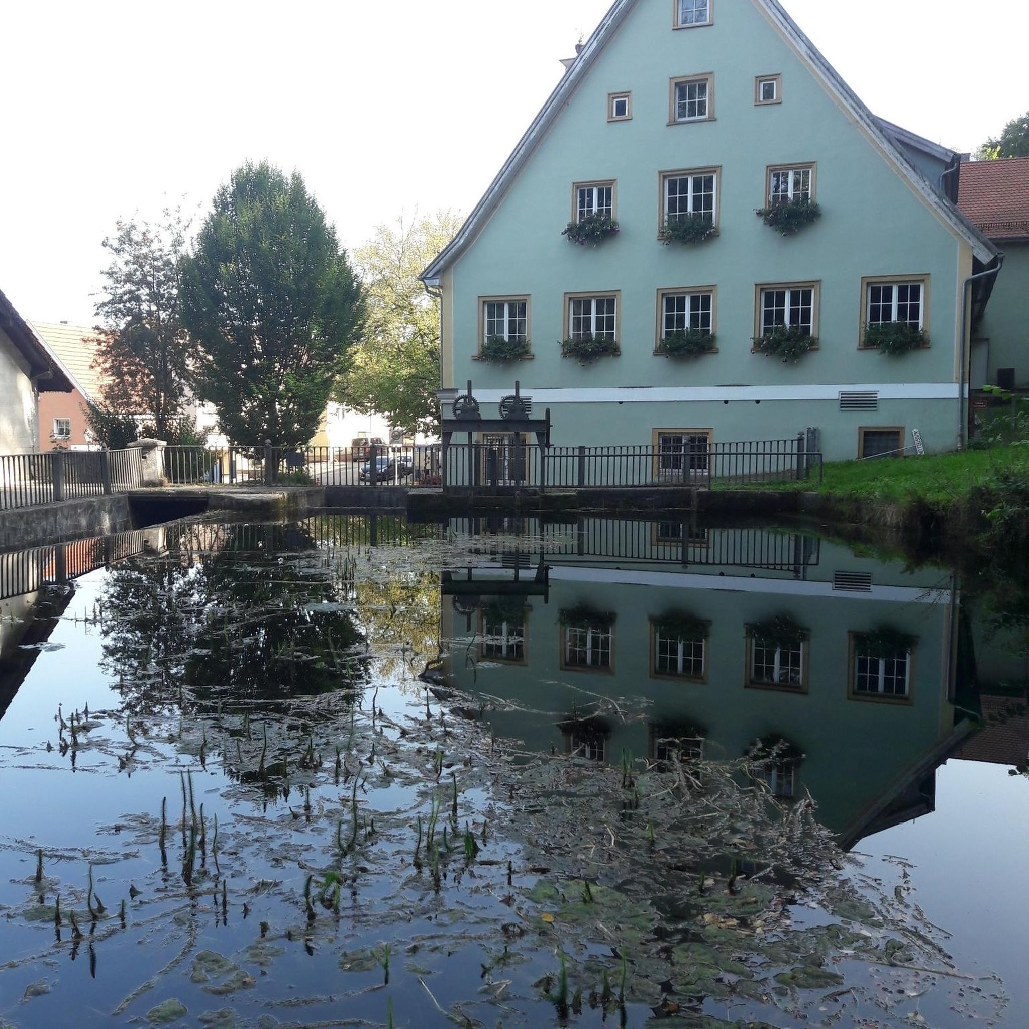
Hikes from bus stations around Pyecombe
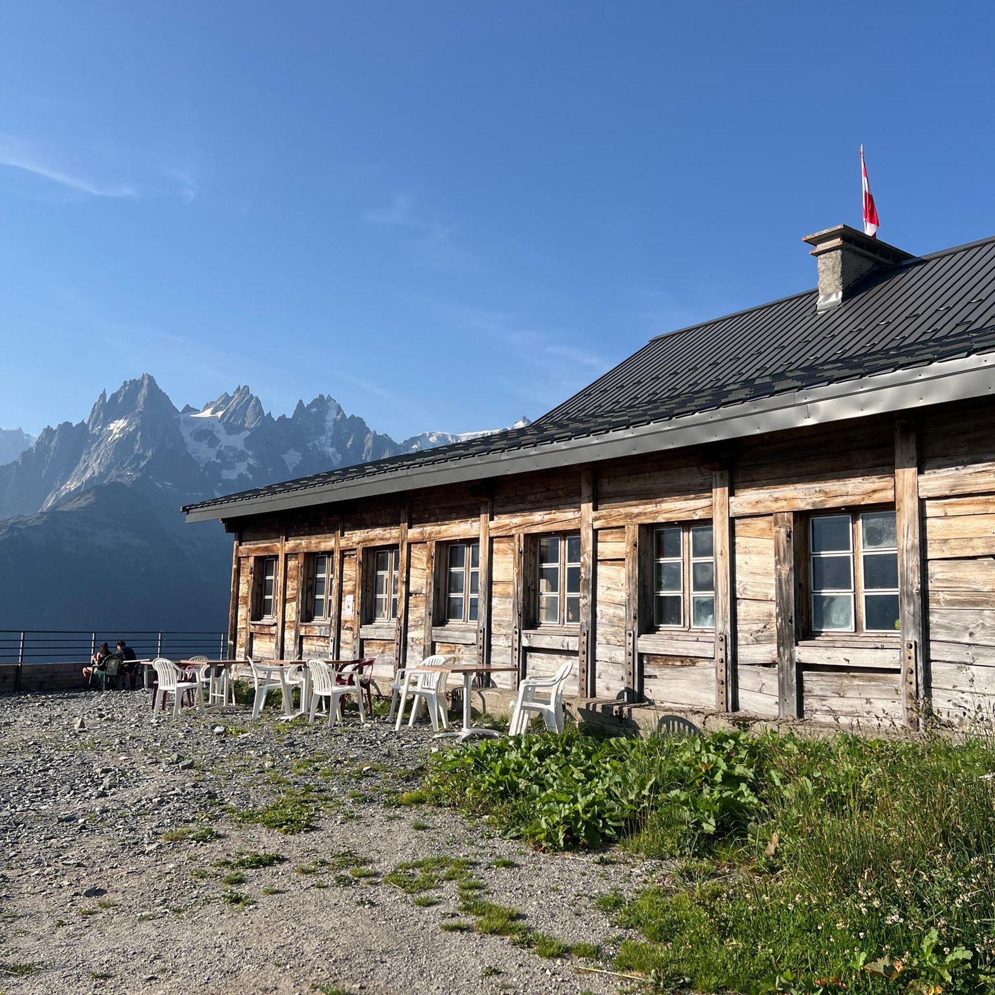
Hikes from bus stations around Slaugham

Hikes from bus stations around East Grinstead

Hikes from bus stations around Haywards Heath
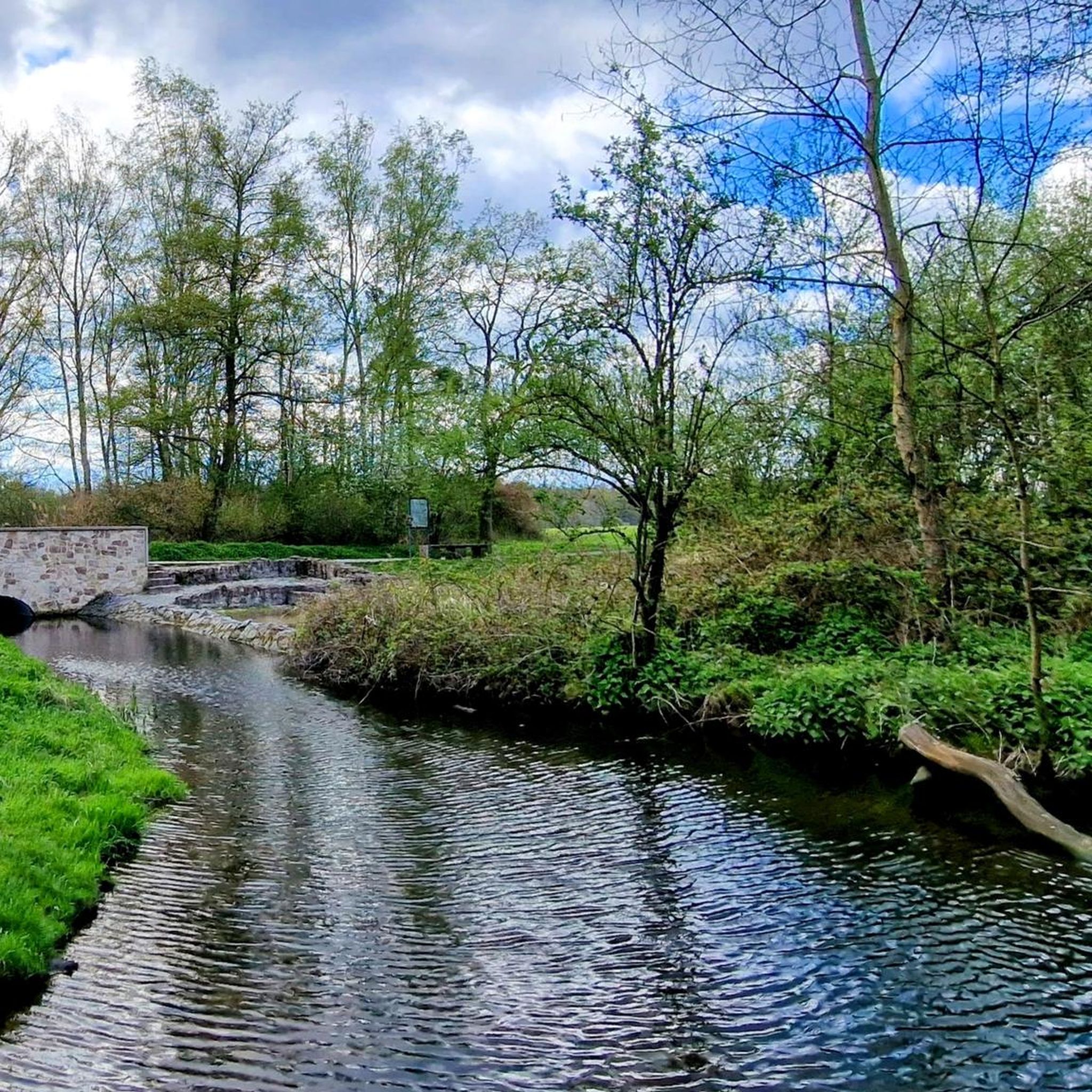
Hikes from bus stations around Worth
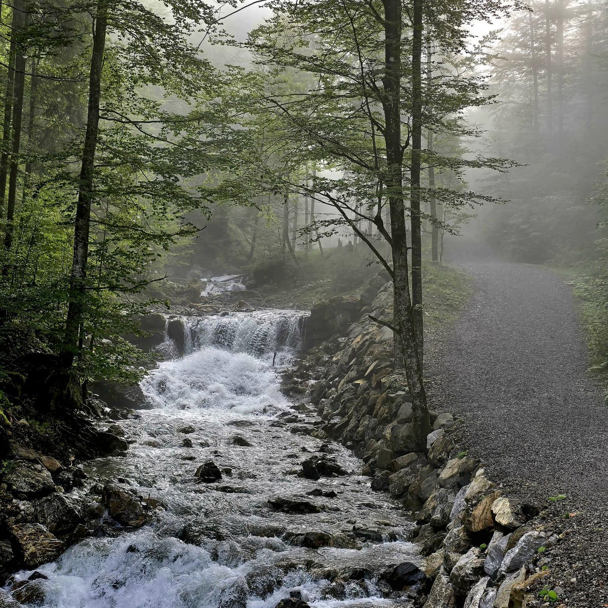
Hikes from bus stations around Ardingly
Hikes from bus stations around West Hoathly

Hikes from bus stations around Balcombe Forest
Hikes from bus stations around Burgess Hill
Other adventures around Mid Sussex


Tips from the Community

Devil’s Dyke is the largest chalk land dry combe in Britain and an area of great beauty. It is a V-shaped valley that has the South Downs Way traversing it immediately south of its location. It also has a multivallate Iron Age hill fort adjacent to it to the west, where on some high ground there is a trig pint that sits on the southern rampart of the fort. At just over 710 feet high (217 m), it is not very high, but the views out over Adder Bottom and the South Downs towards the coast are superb.
2
0
This is a beautiful spot, there is a trig point that is placed on one of the ramparts of the actual Iron Age hillfort here. It is very popular with walkers, and families. The valley bowl is also particularly beautiful.
1
0
Nice trig point placed on one of the actual ramparts of an Iron Age hillfort.
0
0
There are nice views down over beautiful South Downs countryside to be had from here.
0
0

At one end of Pilstye Wood, you'll see this stone outcrop where you can perfectly observe the roots of a tree that grew in a very challenging location.
1
0
Very close to Lake Hart, you'll find this small wooden footbridge that crosses the River Ouse in a beautiful, lush environment.
0
0
A 'Sixpath' or a crossing of six footpaths sits on the Monarch's Way high above Shoreham On Sea. It literally joins and provides access to all of the local hiking routes. With commanding views you can see far out over the South Downs National Park and out into the English Channel. There is even a bench to enjoy it from. Apart from that it's not a bad spot!
1
0
A beautiful walking section on a pristine bridleway with gorgeous views on a sunny day.
0
0
Frequently Asked Questions
How many bus-accessible hiking trails are available in Mid Sussex?
Mid Sussex offers a wide variety of hiking trails accessible by bus, with over 490 routes to explore. These range from easy strolls to more challenging day hikes, catering to different fitness levels and interests.
What are some popular landmarks I can visit on bus-accessible hikes in Mid Sussex?
Many bus-accessible routes lead to iconic Mid Sussex landmarks. You can explore the dramatic Devil's Dyke, known for its panoramic views, or discover the historic Wolstonbury Hill. The region also features the stunning Ouse Valley Viaduct, often incorporated into routes around Ardingly Reservoir, and the scenic Ditchling Beacon, offering some of the finest views in southern England.
Are there any easy bus-accessible hiking routes suitable for beginners?
Yes, Mid Sussex has numerous easy routes perfect for beginners. For example, the Devil's Dyke loop is an easy 4 km hike offering stunning views without significant elevation gain. Many other gentle trails can be found around the Ardingly Reservoir or within the ancient woodlands of the High Weald.
Can I find circular hiking routes that start and end at a bus stop?
Absolutely. Many of the trails in Mid Sussex are designed as circular routes, making them ideal for public transport users. These often begin and end near bus stops, allowing for convenient exploration of areas like the South Downs National Park or the Ouse Valley.
What is the best time of year to go hiking in Mid Sussex?
Mid Sussex offers beautiful hiking experiences year-round. Spring brings vibrant wildflowers to areas like Ditchling Beacon and ancient woodlands. Summer is perfect for long days on the South Downs Way. Autumn showcases stunning foliage in the High Weald, while winter offers crisp, clear views, especially from higher points like Devil's Dyke. Always check local conditions, as some paths can be muddy after rain.
Are the bus-accessible trails in Mid Sussex dog-friendly?
Most trails in Mid Sussex are dog-friendly, especially those within the South Downs National Park and the High Weald. However, it's always recommended to keep dogs under control, particularly near livestock or in nature reserves. Specific routes like the Fulking loop from Devil's Dyke are popular with dog walkers.
Are there family-friendly hiking options accessible by bus?
Yes, Mid Sussex provides many family-friendly options. Shorter, less strenuous routes are available, often with points of interest like the Ardingly Reservoir's Kingfisher Trail or sections of the 'About the Place' walking trails. These trails are generally well-maintained and offer engaging scenery for all ages.
Where can I find refreshments or accommodation near bus-accessible trails?
Many villages and towns in Mid Sussex, such as Lindfield, Balcombe, and Poynings, are well-served by bus routes and offer pubs, cafes, and accommodation options. For instance, after a hike around Devil's Dyke, you can find amenities in nearby Poynings. The area around Ardingly Reservoir also has facilities.
What do other hikers enjoy most about hiking in Mid Sussex?
The Mid Sussex region is highly rated by the komoot community, with an average score of 4.58 stars. Reviewers often praise the diverse landscapes, from the sweeping chalk hills of the South Downs to the ancient woodlands of the High Weald, and the accessibility of these beautiful trails via public transport.
Are there any challenging bus-accessible hikes for experienced hikers?
For those seeking a challenge, Mid Sussex offers several moderate to difficult routes. The Thundersbarrow Hill loop from Devils Dyke, for example, is a longer route with more significant elevation changes, providing a rewarding experience through the South Downs National Park.
Can I combine a hike with exploring historic sites or viewpoints?
Definitely. Mid Sussex is rich in history and stunning viewpoints. Routes often pass by historic windmills like Jack and Jill, or offer breathtaking vistas from locations such as Devil's Dyke Trig Point or Keymer Post Viewpoint. The medieval character of the High Weald also provides a historical backdrop to many walks.
Most popular routes around Mid Sussex
Most popular attractions around Mid Sussex

Get inspired with the komoot mobile app


Didn’t find what you were looking for?
Check out more Hikes throughout Mid Sussex below and find the perfect route in your destination.
Explore more
Browse the best Hikes in other regions.
