The best hikes from bus stations in Sölktäler
4.6
(5513)
29,381
hikers
31
hikes
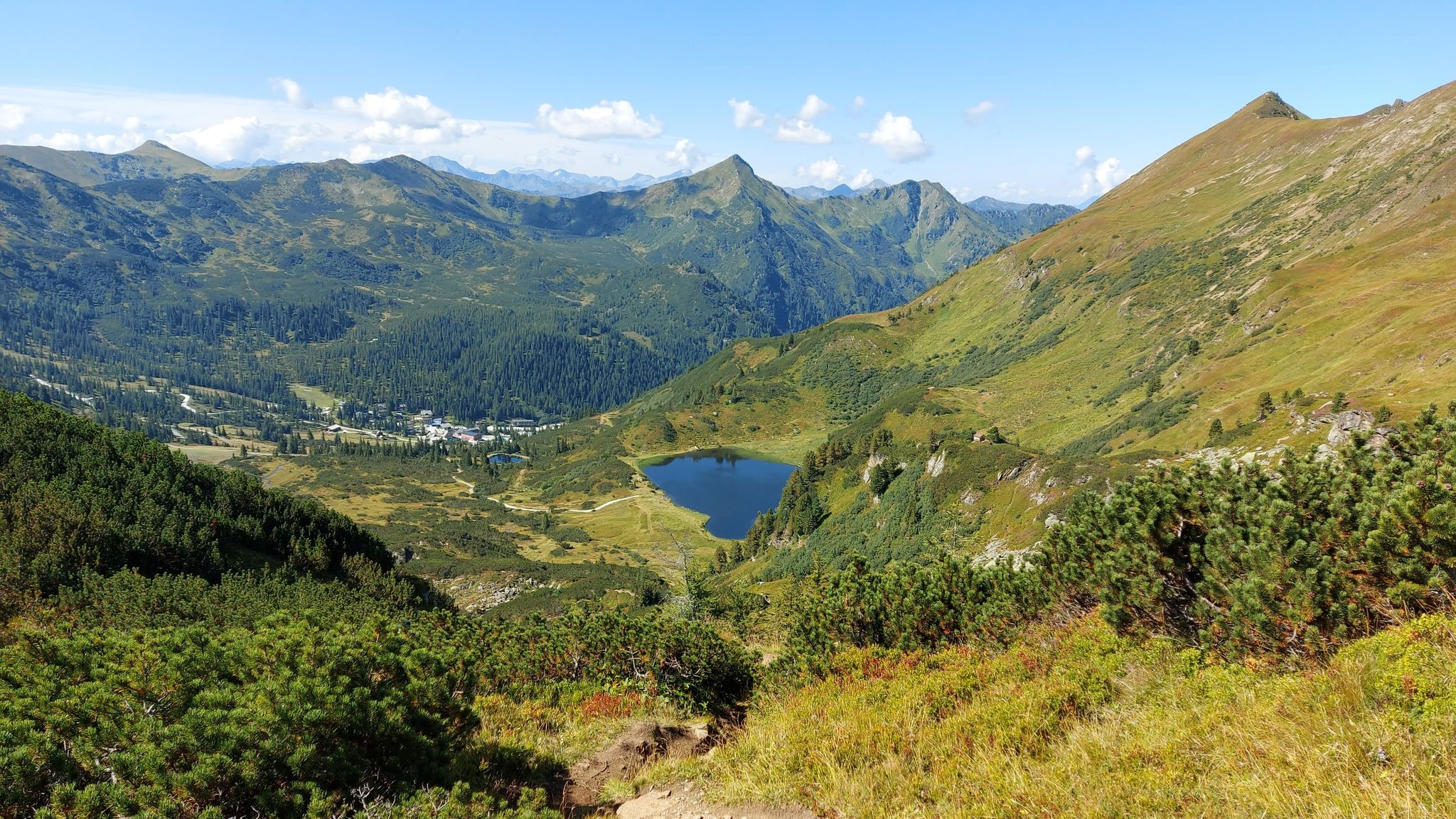
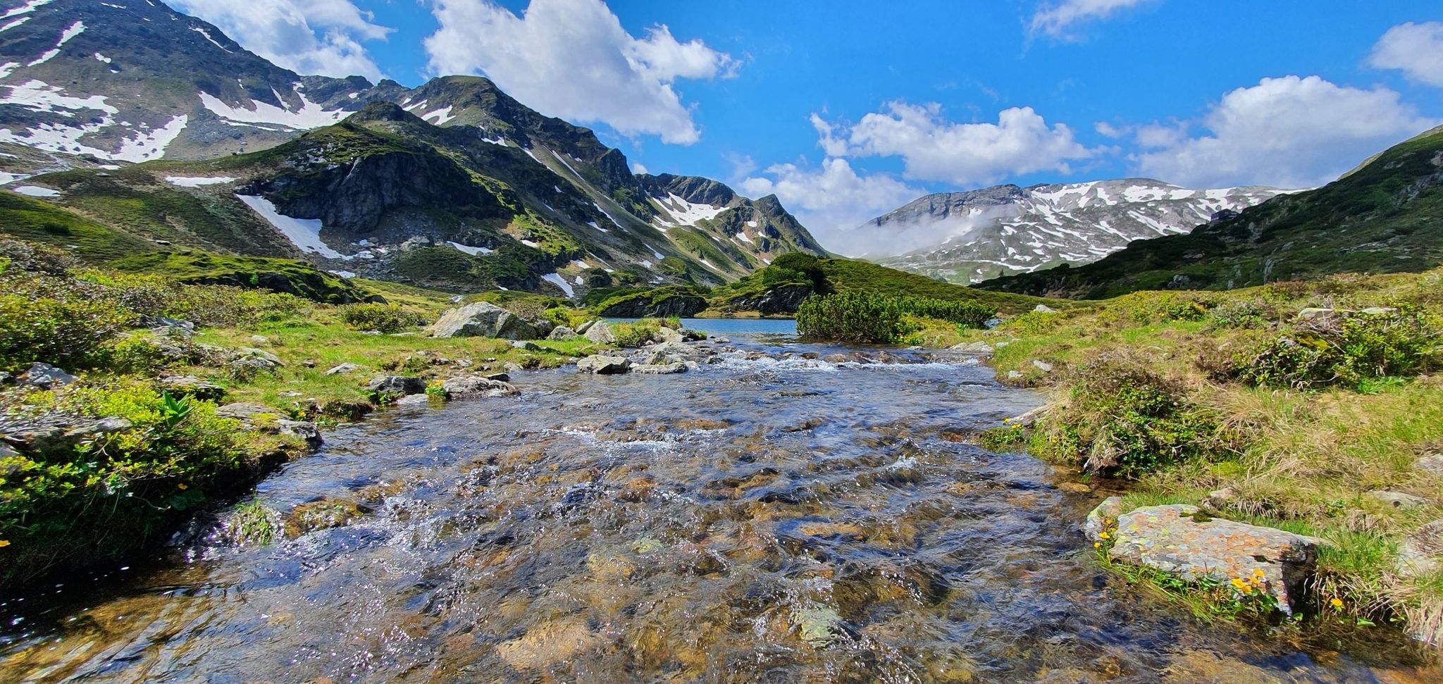
Bus station hiking trails in Sölktäler offer access to a diverse alpine landscape within the Niedere Tauern region of Upper Styria, Austria. The area features pristine alpine pastures, numerous clear mountain lakes like Schwarzensee, and wild mountain streams. Valleys lead to peaks reaching up to 2,684 meters above sea level, shaped by both natural geology and centuries of traditional alpine farming. The presence of Sölker marble contributes to a rich and varied flora.
Best bus station hiking trails in Sölktäler
…Last updated: May 18, 2026
4.9
(202)
888
hikers
11.6km
03:22
280m
280m
Moderate hike. Good fitness required. Easily-accessible paths. Suitable for all skill levels.
4.3
(4)
33
hikers
7.75km
02:32
380m
380m
Moderate hike. Good fitness required. Easily-accessible paths. Suitable for all skill levels.

Sign up for free
5.0
(2)
11
hikers
17.1km
07:28
1,280m
1,280m
Hard hike. Very good fitness required. Mostly accessible paths. Sure-footedness required.
4.9
(95)
444
hikers
8.25km
02:15
120m
120m
Moderate hike. Good fitness required. Easily-accessible paths. Suitable for all skill levels.
4.9
(59)
198
hikers
7.75km
02:14
130m
130m
Moderate hike. Good fitness required. Mostly accessible paths. Sure-footedness required.
Get access to more routes and recommendations from other explorers.
Sign up for free
Already have an account?
Our route recommendations are based on thousands of hikes, rides, and runs completed by other people on komoot.
Start today with a free account
Your next adventure awaits.
Login or Signup
Popular around Sölktäler

Central Alps Trail Eastern Section – Discover Austria
Austria's Salt Trail – On old paths through Styria
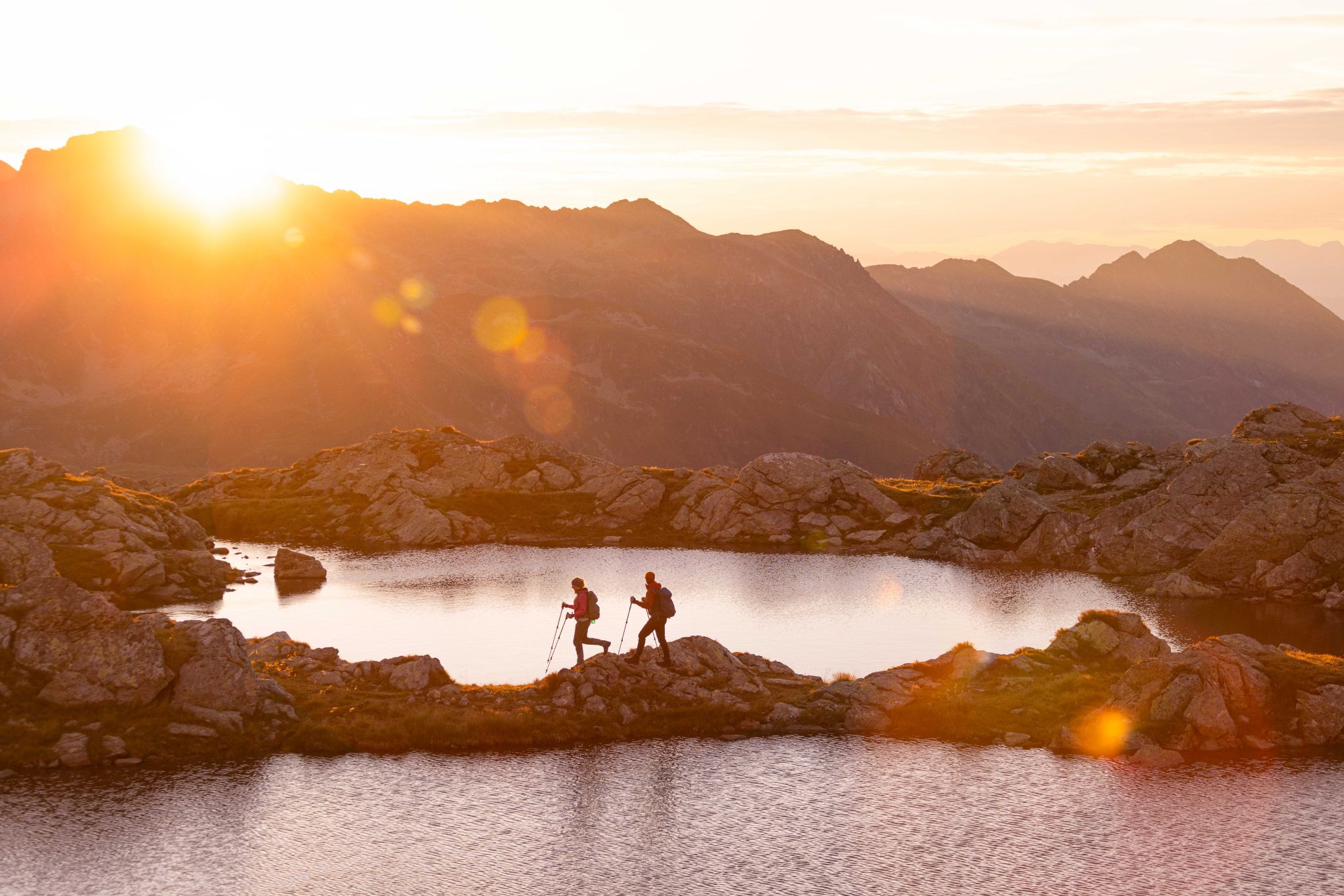
Schladminger Tauern High Altitude Trail – 7 days of great hiking in Austria
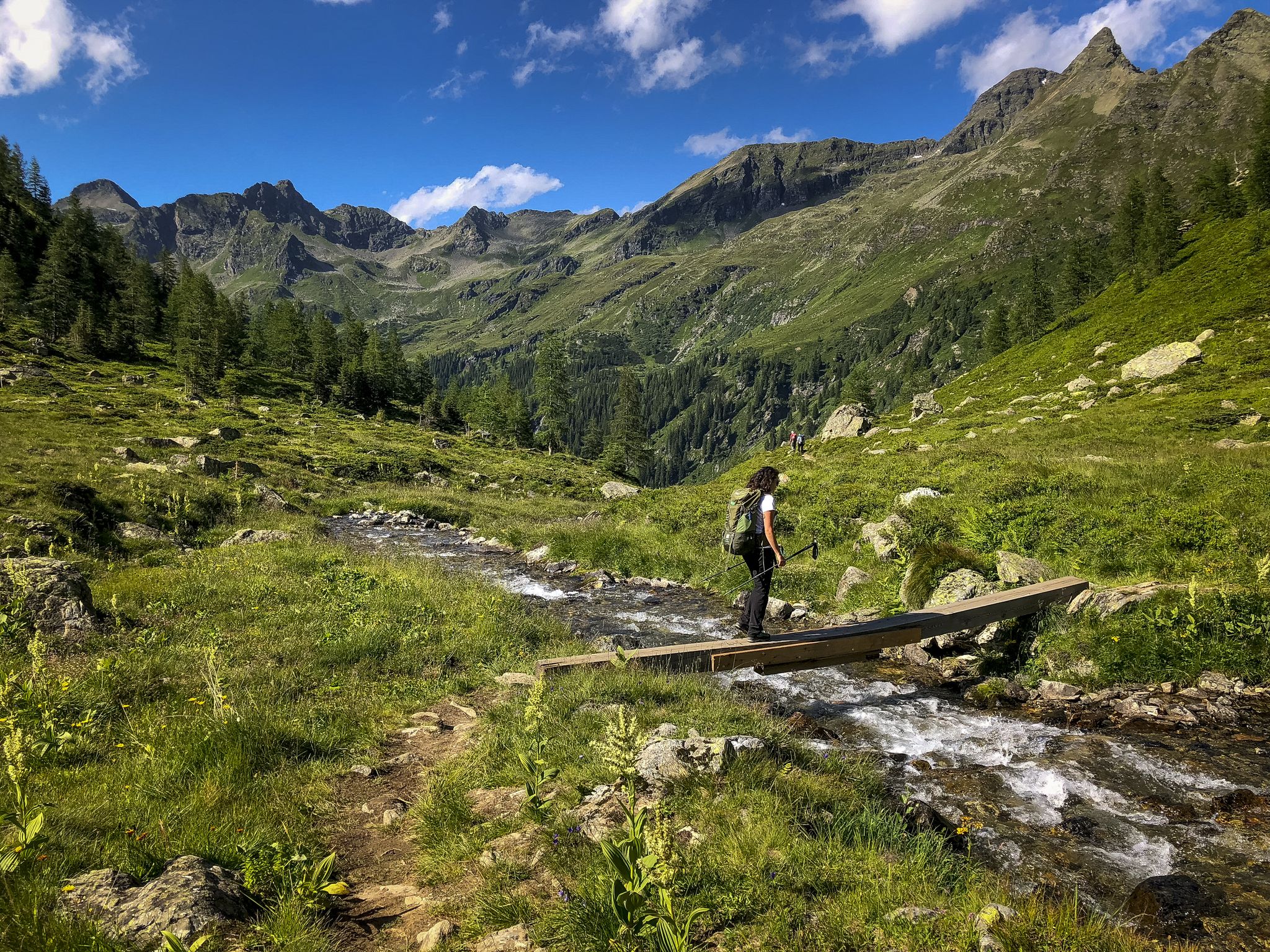
Huts, lakes, streams and panoramas on the Schladminger Tauern High Trail
Discover Styria in Austria – Hiking the 'From Glacier to Wine' southern route
Other adventures in Sölktäler


Tips from the Community


Impressive beautiful valley
0
0
Old lime kiln, right on the path, with a bench next to it.
0
0
Built in 1639 and served as a schoolhouse, among other things.
1
0
Simple guesthouse with good food and friendly service 👍
1
0
Very beautiful village church
1
0

A summit with great views that can be easily reached from the Schönwetterhütte. It is on the way to Gumpeneck.
1
0
Very nice service! Here you can get cheese made on site. Highly recommended!
1
0
Frequently Asked Questions
How many bus station hiking trails are available in Sölktäler?
There are over 30 hiking trails in Sölktäler that are easily accessible from bus stations, offering a wide range of experiences from easy strolls to challenging summit ascents.
Are there easy bus-accessible hikes suitable for families or beginners?
Yes, Sölktäler offers several easy bus-accessible routes perfect for families and beginners. A great option is the Trail to Putzentalalm and Schwarzensee, which leads to a beautiful mountain lake and offers moderate elevation gain. Another family-friendly choice is the To the Kockhut in the Almdorf Tuchmoaralm, providing a pleasant walk through traditional alpine pastures.
Can I bring my dog on these bus-accessible trails?
Many trails in Sölktäler are dog-friendly, but it's essential to keep your dog on a leash, especially in alpine pasture areas where livestock graze. Always carry water for your dog and be mindful of local regulations, particularly within the Nature Park boundaries. Some huts may not allow dogs inside, so check beforehand if you plan to stop.
Are there any circular routes accessible by bus in Sölktäler?
Yes, there are several circular routes that start and end near bus stops. For example, the Schwarzensee – Schwarzensee Creek loop from Breitlahnalm offers a scenic round trip around the picturesque Schwarzensee. Another option is the Bräualm – View of Dürrmoos Waterfall loop from Sankt Nikolai im Sölktal, which includes a stunning waterfall.
What natural features or landmarks can I expect to see along these bus-accessible hikes?
Sölktäler is rich in natural beauty. Many bus-accessible routes lead to stunning features like the clear waters of Schwarzensee Creek and the impressive Dürrmoos Waterfall. You'll also encounter expansive alpine pastures, wild mountain streams, and potentially reach viewpoints offering panoramic vistas of peaks like Gumpeneck Summit or Deneck, 2,433 m.
What kind of terrain should I expect on bus-accessible hikes in Sölktäler?
The terrain varies significantly. You can expect well-maintained forest paths and gravel tracks on easier routes, while moderate and difficult trails often involve rocky sections, steeper ascents, and alpine meadows. The region's unique Sölker marble geology contributes to a diverse flora, making for interesting landscapes.
Are there mountain huts or places to eat along these bus-accessible routes?
Yes, many bus-accessible trails lead to or pass by traditional mountain huts where you can enjoy regional cuisine and refreshments. Notable huts include Putzentalalm, Harmeralm, and Breitlahnhütte. These huts often provide a welcome break and a taste of local hospitality.
What is the best time of year to do these bus station hikes?
The best time for hiking in Sölktäler is generally from late spring (May/June) to early autumn (September/October). During these months, the weather is usually stable, trails are clear of snow, and the alpine flora is in full bloom. Summer offers warmer temperatures, while autumn provides stunning fall colors.
Are there any challenging bus-accessible hikes for experienced hikers?
Absolutely. For experienced hikers seeking a challenge, the Gumpeneck Summit Loop is a demanding route with significant elevation gain, offering spectacular views from the summit. These more difficult trails often lead to higher alpine regions and require good physical condition and appropriate gear.
What do other hikers say about the bus-accessible trails in Sölktäler?
The bus-accessible trails in Sölktäler are highly rated by the komoot community, with an average score of 4.56 stars from over 5,500 ratings. Reviewers often praise the tranquility, the pristine natural beauty, the well-maintained paths, and the stunning mountain and lake views.
How can I find bus timetables or information about public transport in Sölktäler?
Public transport in Sölktäler, especially during the summer season, is well-organized to serve hikers. It's advisable to check the local bus timetables, often available at tourist information centers or online, to plan your bus connections to and from trailheads. The Styria SummerCard can also offer benefits for public transport use in the region.
Are there any specific permits required for hiking in Sölktäler Nature Park?
Generally, no specific permits are required for day hiking on marked trails within the Sölktäler Nature Park. However, always respect local regulations, stay on marked paths, and be mindful of protected areas and wildlife. If you plan to stay overnight in a hut, reservations are often recommended.
Most popular routes in Sölktäler
Most popular attractions in Sölktäler

Get inspired with the komoot mobile app


Explore more
Browse the best Hikes in other regions.
