The best hikes from bus stations around Meller Berge
4.5
(6946)
23,778
hikers
437
hikes
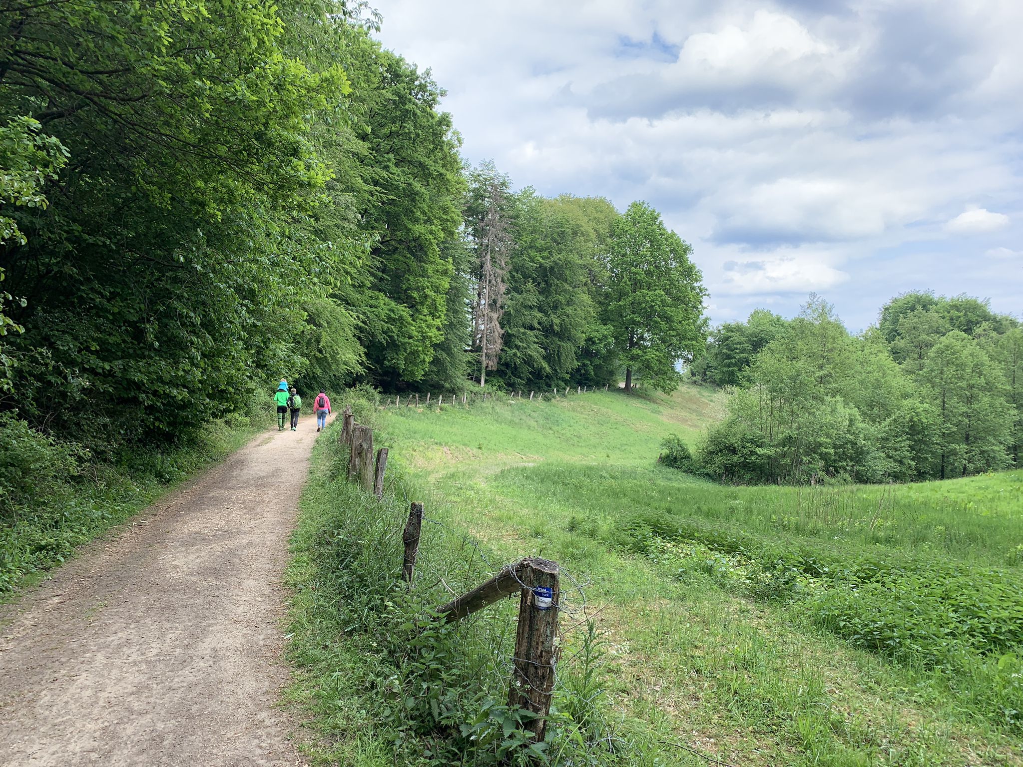
Bus station hiking trails around Meller Berge navigate a landscape characterized by gently rolling hills, reaching approximately 220 meters above sea level. The region features a contiguous forest covering about 8 km², forming part of the "Wiehen Hills and Northern Osnabrück Uplands" protected area. Notable natural features include the Zwickenbach Valley, which offers a "wild-romantic" setting with a small stream. This area is also recognized within the UNESCO Global Geopark TERRA.vita Natur- und Geopark.
Best bus station hiking trails around…
Last updated: July 13, 2026
4.8
(8)
48
hikers
6.98km
01:56
120m
120m
Easy hike. Great for any fitness level. Easily-accessible paths. Suitable for all skill levels.
4.7
(11)
26
hikers
Moderate hike. Good fitness required. Mostly accessible paths. Sure-footedness required.

Sign up for free
4.8
(16)
65
hikers
Moderate hike. Good fitness required. Easily-accessible paths. Suitable for all skill levels.
4.3
(9)
43
hikers
5.31km
01:29
100m
100m
Easy hike. Great for any fitness level. Easily-accessible paths. Suitable for all skill levels.
5
hikers
Moderate hike. Good fitness required. Easily-accessible paths. Suitable for all skill levels.
Get access to more routes and recommendations from other explorers.
Sign up for free
Already have an account?
Our route recommendations are based on thousands of hikes, rides, and runs completed by other people on komoot.
Start today with a free account
Your next adventure awaits.
Login or Signup
Popular around Meller Berge
Other adventures around Meller Berge

Tips from the Community

I'm urgently looking for Svenja Schick from Melle. Does anyone know her old, rusty Mercedes? Please contact me with any details: 0175 5560782. Thanks, Berni.
0
0

Delicious honey can be bought along the way
0
0

Also great as a night hike with a good lamp.
0
0

General Lucius D. Clay resided here in 1945.
0
0

We followed a trail marked on Komoot. However, parts of it were really only accessible to "mountain rescuers." Fortunately, at least it was dry. In the rain, it would be impassable.
0
0

A stop at the Weberhaus restaurant is highly recommended. Great atmosphere. Delicious food. Absolutely top notch.
0
0


Unfortunately, there is no view at the moment. The trees have grown big.
0
0
Frequently Asked Questions
How many hiking trails are accessible from bus stations in Meller Berge?
The Meller Berge region offers over 400 hiking trails that are conveniently accessible from bus stations. These routes cater to various fitness levels, with approximately 260 easy, 160 moderate, and a few challenging options available.
What kind of terrain and difficulty can I expect on bus-accessible hikes in Meller Berge?
You can expect a diverse landscape of gently rolling hills, extensive forests, and idyllic small river courses. Most bus-accessible routes in Meller Berge are classified as easy to moderate, making them suitable for a wide range of hikers. The region is part of the UNESCO Global Geopark TERRA.vita, highlighting its natural beauty and geological significance.
Are there family-friendly hiking trails accessible by bus in Meller Berge?
Yes, many routes in the Meller Berge are well-suited for families. The gently rolling hills and varied landscapes provide engaging walks without being overly strenuous. For example, the Drei Türme Weg Junction – Eickener Egge loop from Melle is an easy, shorter option that families might enjoy.
Can I bring my dog on hikes accessible by bus in Meller Berge?
Most hiking trails in Meller Berge are dog-friendly, allowing you to enjoy the natural surroundings with your canine companion. However, if you plan to visit the Diedrichsburg Wildlife Park, be aware that there might be restrictions on bringing dogs inside, especially given the semi-wild wild boar population. Always keep dogs on a leash and respect local wildlife.
Are there any circular hiking routes that start and end at a bus station?
Yes, many of the bus-accessible trails in Meller Berge are designed as circular routes, offering convenient starting and ending points near public transport. An example is the Ottoshöhe Observation Tower – Diedrichsburg loop from Melle, which provides a scenic round trip.
What landmarks or viewpoints can I see along these bus-accessible trails?
The Meller Berge are known for their panoramic viewpoints and historical sites. You can visit the Ottoshöhe Observation Tower or the Climate Tower Melle-Buer (Friedenshöhe Observation Tower) for extensive vistas. The Diedrichsburg castle is another notable attraction. Many routes, like the Diedrichsburg – Ottoshöhe Observation Tower loop from Quellenstraße, connect these points of interest.
Are there any nature trails or special natural features to explore?
Absolutely. The Zwickenbach Valley Nature Trail is a highlight, offering a 'wild-romantic' setting where the Zwickenbach stream accompanies parts of the path. This area is part of the UNESCO Global Geopark TERRA.vita, emphasizing its unique natural importance.
What do other hikers enjoy most about hiking in Meller Berge?
The Meller Berge region is highly rated by the komoot community, with an average score of 4.5 stars. Reviewers often praise the diverse and gently rolling landscapes, the well-maintained trails, and the accessibility of many routes by public transport. The panoramic views from observation towers and the serene atmosphere of the forests are frequently highlighted.
Are there shorter, easy walks accessible from bus stops for beginners?
Yes, there are several shorter and easier routes perfect for beginners or those looking for a relaxed stroll. For instance, the Ottoshöhe Observation Tower – Eickener Egge loop from Melle is an easy option, covering just over 5 kilometers with moderate elevation gain, making it very approachable.
Can I find routes that offer views of the wider region, like Osnabrück or Bielefeld?
Yes, the observation towers in Meller Berge are specifically designed to provide expansive views. From the Ottoshöhe Observation Tower or the Climate Tower Melle-Buer, on clear days, you can often see as far as Osnabrück, Bielefeld, the Porta Westfalica, and even the Ibbenbüren power station. Routes like the Drei Türme Weg Junction – View of the Melle Hills and surroundings loop from Eicken-Bruche offer excellent opportunities for these vistas.
Most popular routes around Meller Berge
Most popular attractions around Meller Berge

Get inspired with the komoot mobile app


Explore more
Browse the best Hikes in other regions.
