The best running trails around Meller Berge
4.3
(376)
4,361
runners
505
runs
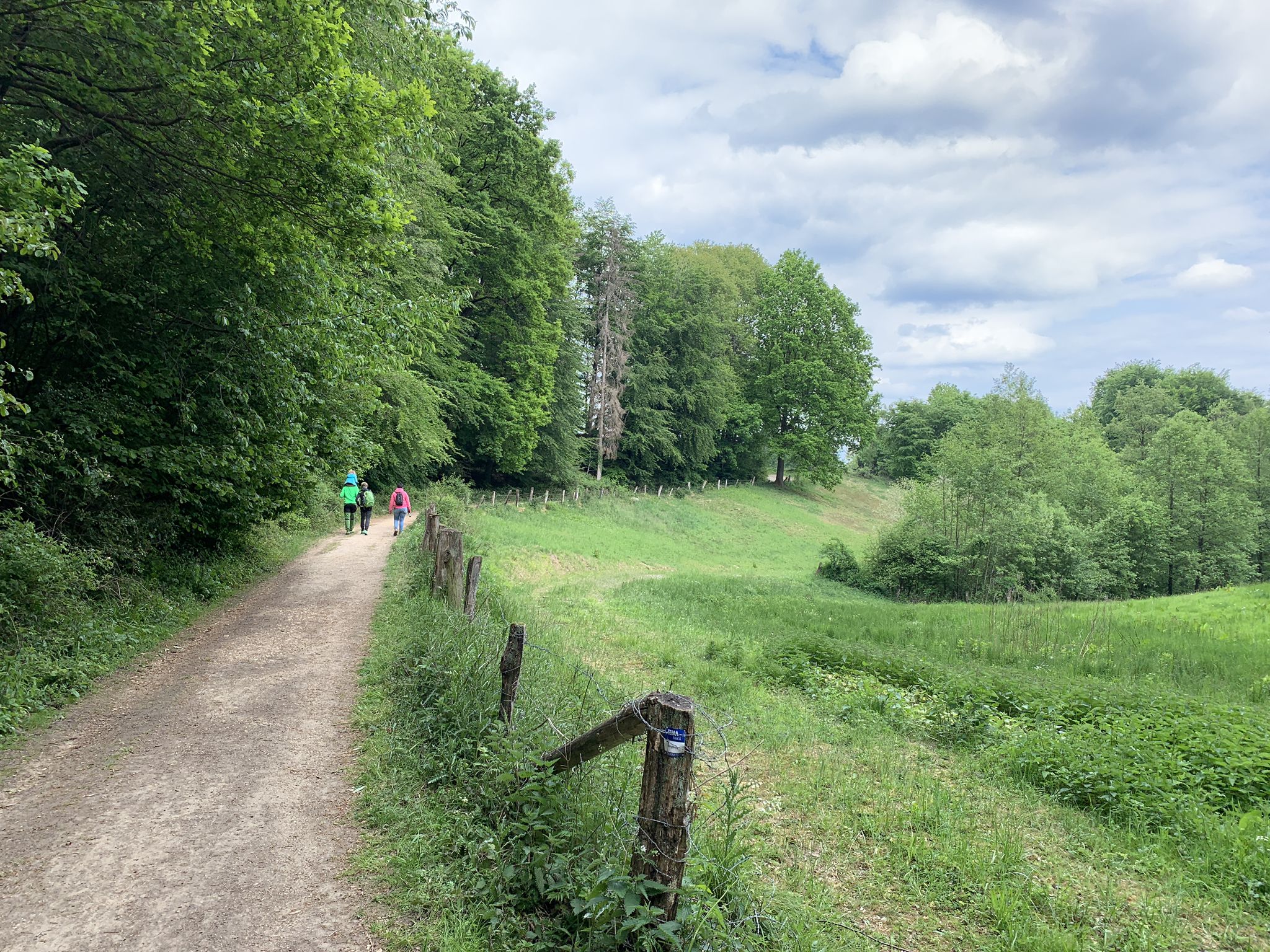
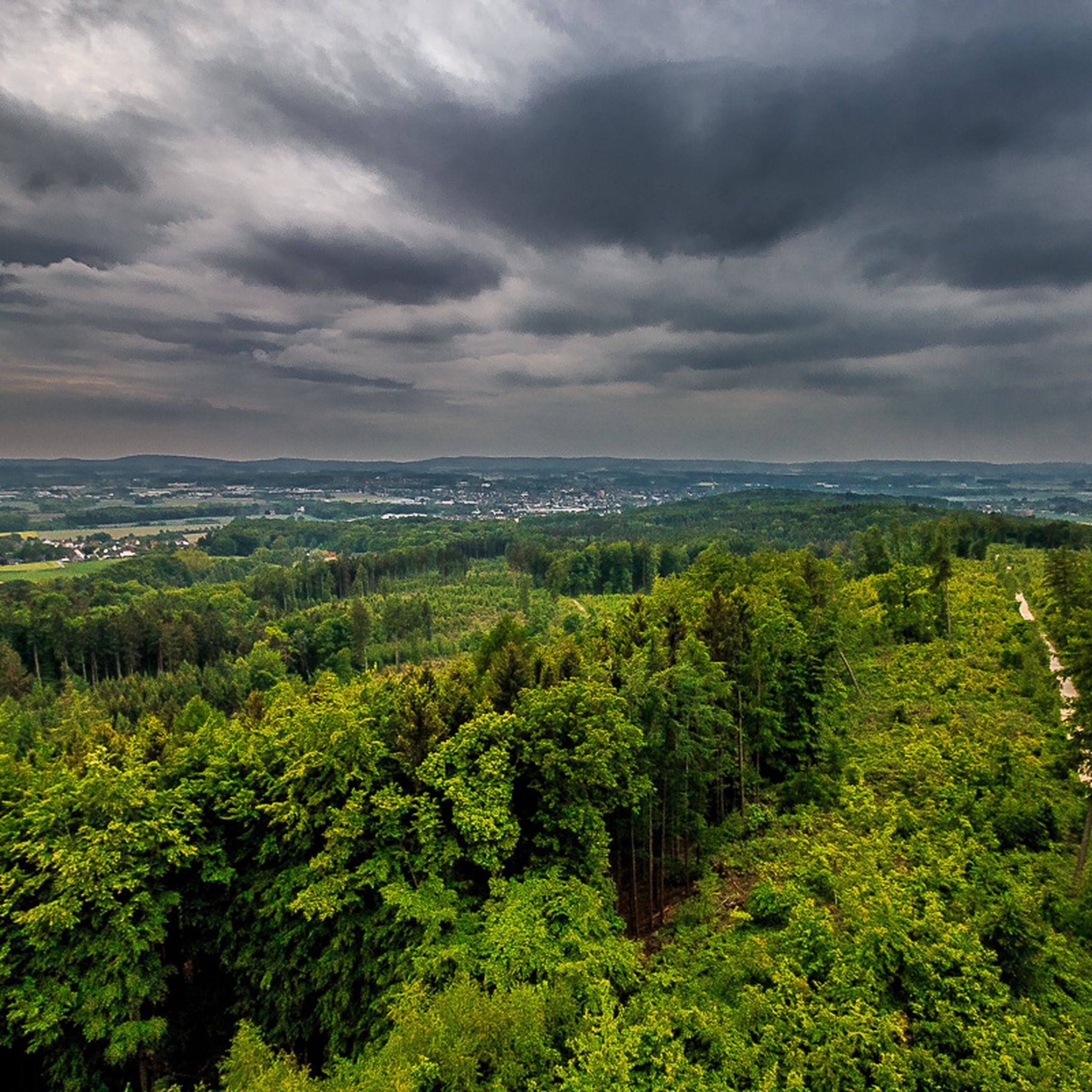
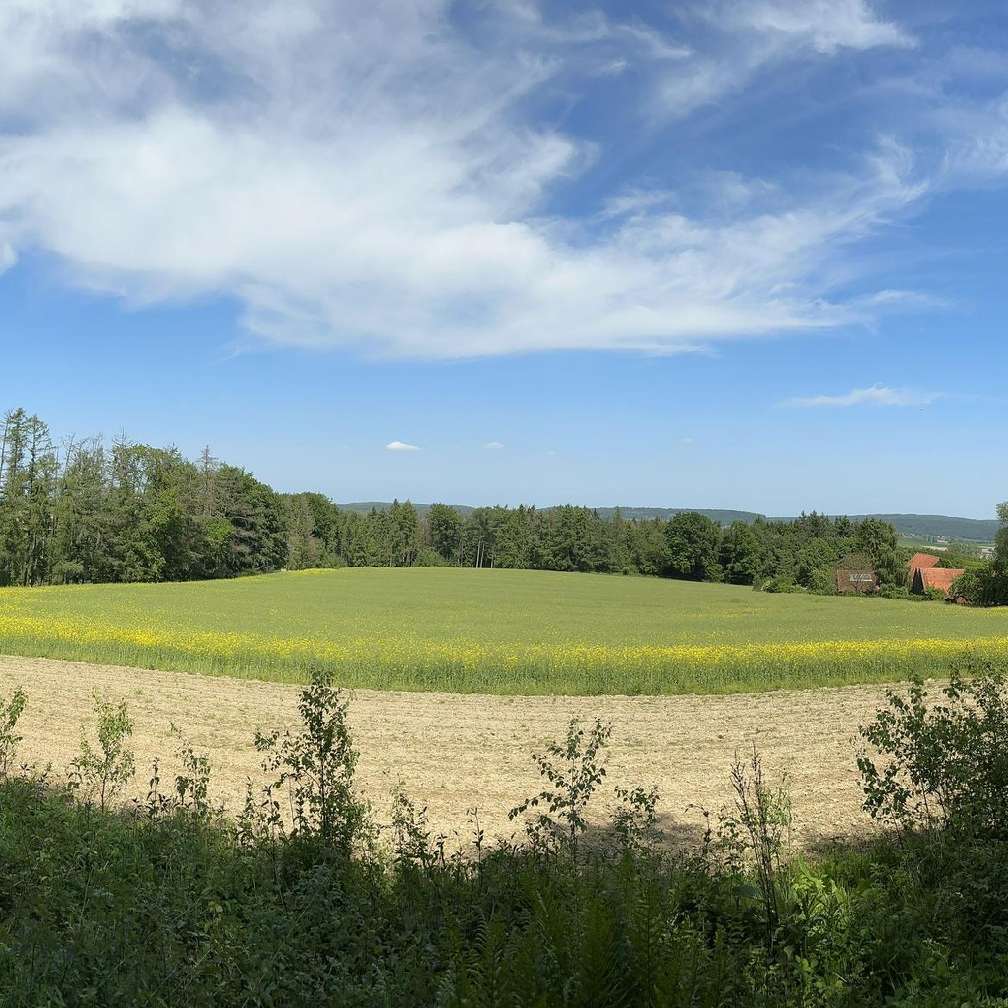
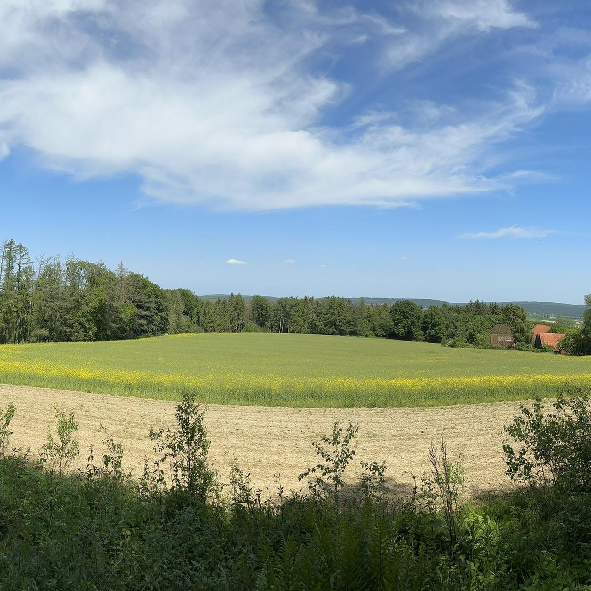
Jogging around Meller Berge offers varied terrain within the Osnabrück Uplands, characterized by constant ups and downs and extensive forested areas. This small hill range, part of the TERRA.vita Nature Park, provides a dynamic landscape for runners. The region features a maximum elevation of approximately 220 meters above sea level, with numerous paths winding through its natural beauty. Runners can explore diverse routes, from gentle forest trails to more challenging hilly sections.
Best jogging routes around Meller Berge
- The most…
Last updated: July 5, 2026
5.0
(7)
143
runners
Moderate run. Good fitness required. Mostly paved surfaces. Suitable for all skill levels.
4.8
(5)
38
runners
Moderate run. Good fitness required. Mostly paved surfaces. Suitable for all skill levels.

Sign up for free
38
runners
11.5km
01:13
30m
30m
Moderate run. Good fitness required. Mostly paved surfaces. Suitable for all skill levels.
5.0
(1)
37
runners
10.3km
01:09
160m
160m
Moderate run. Good fitness required. Mostly paved surfaces. Suitable for all skill levels.
4.0
(3)
30
runners
16.3km
01:45
130m
130m
Hard run. Very good fitness required. Mostly paved surfaces. Suitable for all skill levels.
Get access to more routes and recommendations from other explorers.
Sign up for free
Already have an account?
Our route recommendations are based on thousands of hikes, rides, and runs completed by other people on komoot.
Start today with a free account
Your next adventure awaits.
Login or Signup
Other adventures around Meller Berge

Tips from the Community

A very beautiful path along the Else. On the other side of the river is the Grönegaupark. Many trees have been planted here for and by newlyweds.
0
0

The old mill of Gesmold Castle used to be here.
0
0
You can park for free at Melle train station to start your bike tour here.
0
0
The Mausoleum of Gesmold Castle is located at the northern end of an axis through the Tiergarten, which continues through the wooded area with Jagdstern to the boundary wall on the Am Wulberg road. The coat of arms above the door with the year 1739 refers to Philipp Maximilian von Hammerstein, presumably as the builder. In 2022, the Lower Saxony Society for the Preservation of Historical Gardens supported the restoration.
0
0
The list of architectural monuments in Hilter am Teutoburger Wald includes all architectural monuments of the Lower Saxony municipality of Hilter am Teutoburger Wald with the localities Hilter with Natrup as well as Allendorf, Borgloh-Wellendorf, Ebbendorf, Eppendorf, Hankenberge and Uphöfen. The source of the architectural monuments is the Denkmalatlas Niedersachsen. The list is current as of December 11, 2024. The Denkmalatlas is not yet complete in this area and will be further expanded in the future.
0
0
A planet trail is an educational trail where a scaled-down model of the solar system is realized along the hiking route. Usually, the planets and the sun are set up or displayed on panels along the route to scale in size and distance. With the frequently used "planetary scale" of 1:1 billion (sun has a diameter of 1.4 m, earth 13 mm), the outermost planet Neptune is almost 4.5 kilometers away from the sun. If the dwarf planet Pluto, which was considered a full-fledged planet until 2006, is included, the planet trail extends over almost 6 kilometers. The nearest star, Proxima Centauri, would then be over 40,000 km away, which corresponds to the Earth's circumference. There are usually information boards about the sun and planets with data on size, composition and orbit. The planets themselves are represented in various ways: as spheres made of metal, stone, wood or glass, as discs, hollows or reliefs, often also as photos on display boards, supplemented by a small circle in the correct scale.
0
0

🪵🥾🌲Since the walking stick is now located very close to the Else Water Trail and the Peace Garden, you can easily see it during a walk through Grönenberg Park. It's a popular photo subject, especially because of its impressive size compared to a normal walking stick.
1
0
⚙️ The Waterwheel How it Works: It is an undershot waterwheel. This means the wheel is immersed in the flowing water of the Else River and is driven by the force of the current.
1
0
Frequently Asked Questions
How many running routes are available in the Meller Berge region?
The Meller Berge area offers a wide selection of running routes, with over 460 trails documented on komoot. These routes cater to various fitness levels, ranging from easy forest paths to more challenging hilly sections.
What kind of terrain can I expect when running in Meller Berge?
Runners in Meller Berge will encounter varied terrain characterized by constant ups and downs within the Osnabrück Uplands. The region features extensive forested areas and a maximum elevation of approximately 220 meters above sea level, providing a dynamic landscape with both gentle and challenging sections.
Are there any easy running routes suitable for beginners or a relaxed jog?
Yes, Meller Berge has routes suitable for all levels. For an easier run, consider trails like the Weberhaus Melle Restaurant – Uranus – Planet Trail Melle loop from Wanderparkplatz "Weberhaus". This route is approximately 4.6 km long and features a moderate elevation gain, making it ideal for a relaxed jog.
What are some interesting sights or landmarks I can see along the running trails?
Many running routes in Meller Berge pass by notable attractions. You can enjoy panoramic views from the Ottoshöhe Observation Tower or the Climate Tower Melle-Buer (Friedenshöhe Observation Tower). Historic sites like Diedrichsburg and the scenic Zwickenbach Valley Nature Trail are also integrated into various routes, offering a blend of nature and culture.
Are there circular running routes in Meller Berge?
Absolutely. Many of the running trails in Meller Berge are circular, allowing you to start and finish at the same point. An example is the popular View of Melle loop from Melle, which is 10.3 km long and takes you through forested areas with panoramic views.
Is Meller Berge suitable for family-friendly running or jogging with a stroller?
While many trails have varied terrain, some sections within the Meller Berge, particularly those in the Zwickenbachtal or around the Diedrichsburg Wildlife Park, offer wider, less challenging paths that might be suitable for families. For stroller accessibility, look for routes described as 'easy' or with minimal elevation changes, though specific stroller-friendly routes should be checked individually for suitability.
Can I bring my dog on the running trails in Meller Berge?
Yes, Meller Berge is generally dog-friendly, and many runners enjoy bringing their dogs along. However, as parts of the area are within nature reserves and the Diedrichsburg Wildlife Park, it's advisable to keep dogs on a leash to protect wildlife and ensure a pleasant experience for all trail users.
Where can I park my car when visiting Meller Berge for a run?
There are several parking options available near the trailheads in Meller Berge. Popular starting points often have designated parking areas, such as the Wanderparkplatz "Weberhaus" or parking near Friedenshöhe in Melle-Buer, which provide convenient access to the running routes.
How can I reach the running trails in Meller Berge using public transport?
Public transport options are available to reach Meller Berge. You can often find bus connections to Melle and its surrounding areas. For specific trailheads like Wanderparkplatz "Weberhaus" or the Friedenshöhe parking area, it's best to check local bus schedules for routes that serve these locations.
What is the best time of year to go running in Meller Berge?
Meller Berge offers enjoyable running conditions throughout the year. Spring and autumn provide pleasant temperatures and vibrant scenery. Summer runs benefit from the extensive shaded forest paths, while winter can offer unique, crisp conditions, though some trails might be muddy or icy depending on the weather.
What do other runners say about the trails in Meller Berge?
The running routes in Meller Berge are highly regarded by the komoot community, boasting an average rating of 4.3 stars from over 300 reviews. Runners frequently praise the diverse and hilly terrain, the extensive forested areas providing shade, and the well-maintained paths that offer a refreshing natural environment.
Are there any longer running routes for endurance training?
For those looking for longer runs, Meller Berge offers several options. The Gesmold Castle – Melle Old Town loop from Melle is a challenging 19.3 km route, ideal for endurance training, featuring varied landscapes and historical points of interest.
Most popular routes around Meller Berge
Most popular attractions around Meller Berge

Get inspired with the komoot mobile app


Explore more
Browse the best Running Trails & Routes in other regions.
