The best hikes from bus stations around Schliersee
4.6
(43136)
249,416
hikers
11
hikes
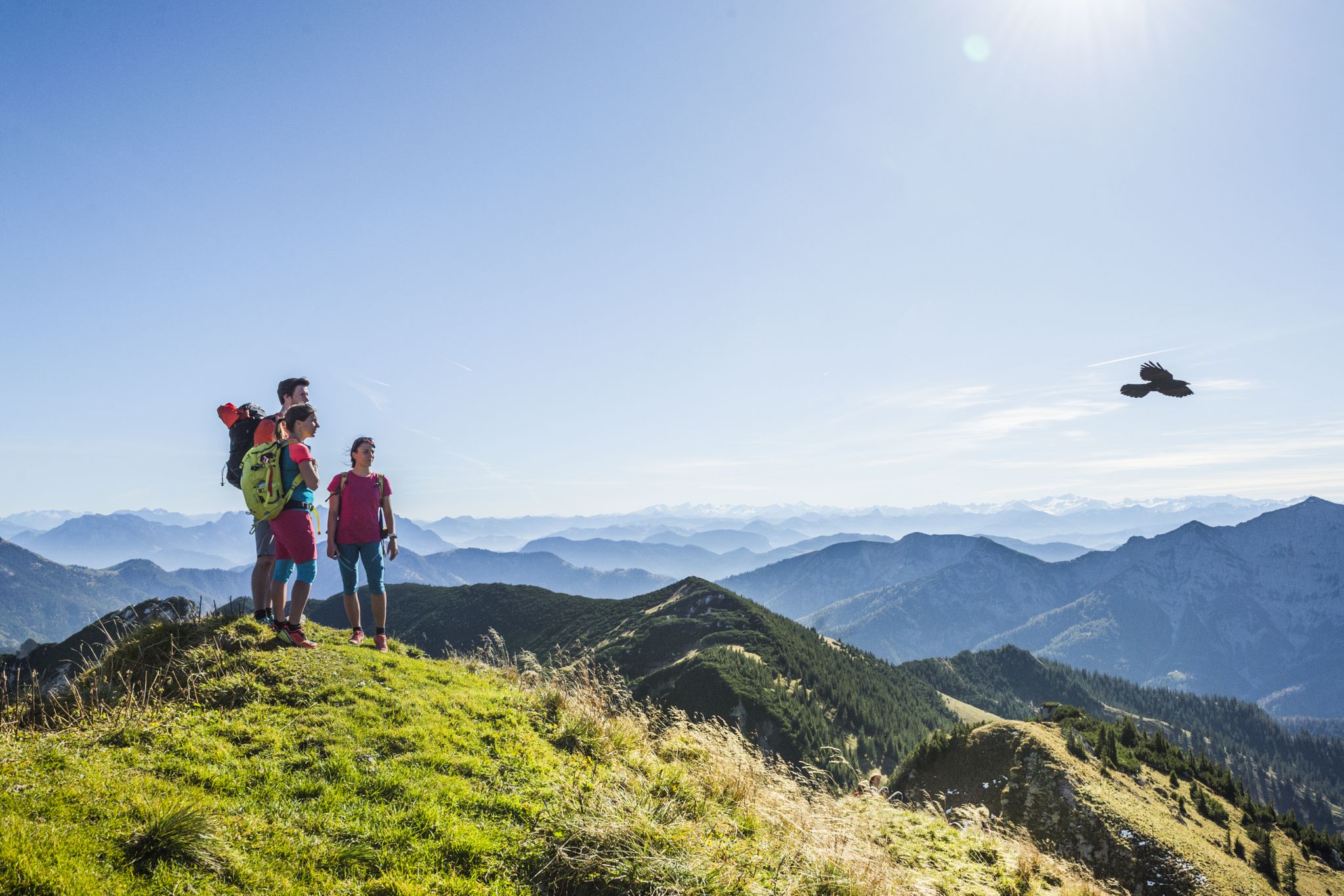
Bus station hiking trails around Schliersee offer access to a diverse landscape in the Bavarian Alps, characterized by the clear waters of Lake Schliersee and Spitzingsee. The region features prominent peaks of the Mangfallgebirge mountains, dense forests, and expansive alpine meadows. Hikers can explore varied terrain, from lakeside paths to more challenging mountain ascents, with natural features like waterfalls contributing to the scenic environment.
Best bus station hiking trails around Schliersee
- The most popular bus station hiking route is Josefsthal…
Last updated: June 29, 2026
4.6
(177)
733
hikers
10.7km
03:07
260m
260m
Moderate hike. Good fitness required. Easily-accessible paths. Suitable for all skill levels.
4.6
(79)
288
hikers
16.8km
04:35
230m
230m
Moderate hike. Good fitness required. Mostly accessible paths. Sure-footedness required.

Sign up for free
4.8
(4)
32
hikers
8.37km
02:36
320m
320m
Moderate hike. Good fitness required. Easily-accessible paths. Suitable for all skill levels.
4.3
(3)
10
hikers
6.53km
01:48
100m
100m
Easy hike. Great for any fitness level. Easily-accessible paths. Suitable for all skill levels.
4.3
(3)
7
hikers
Easy hike. Great for any fitness level. Easily-accessible paths. Suitable for all skill levels.
Get access to more routes and recommendations from other explorers.
Sign up for free
Already have an account?
Our route recommendations are based on thousands of hikes, rides, and runs completed by other people on komoot.
Start today with a free account
Your next adventure awaits.
Login or Signup
Popular around Schliersee
Other adventures around Schliersee

Tips from the Community

Magnificent view of the Schliersee during a wonderful sunset.
0
0

Beautiful path and stunning lake view...what more could you want? 😊
4
0

Nice walking path along the lake
0
0


Great view of the lake from the south shore
0
0

Picturesque stream with a small waterfall.
0
0
Frequently Asked Questions
How many bus station hiking trails are available in Schliersee?
There are 13 bus station hiking trails available around Schliersee, offering a variety of options for different skill levels. You'll find 6 easy, 5 moderate, and 2 difficult routes to explore.
Are there any easy, family-friendly hikes accessible by bus in Schliersee?
Yes, Schliersee offers several easy, family-friendly hikes accessible by bus. A popular choice is the Lake Schliersee – Lake Schliersee loop from Schliersee, which is approximately 6.5 km long and offers stunning mountain views. The region is known for its stroller-friendly paths around the lake and interactive trails like the Tree Adventure Trail.
Can I find trails with waterfalls that are accessible from a bus station?
Absolutely. The Josefsthal Waterfalls – View of Lake Schliersee loop from Schliersee is a challenging 21.6 km route that takes you past the beautiful Josefsthal Waterfalls, a popular spot for cooling off in summer. For a shorter, easier option, consider the Scenic view of Schliersee – Leitner Graben Waterfalls loop from Schliersee, which is 5.5 km long and also features waterfalls.
What kind of views can I expect on these bus-accessible hikes?
The bus-accessible hikes in Schliersee offer diverse and picturesque views. You can expect panoramic vistas of Lake Schliersee and Spitzingsee, surrounded by the peaks of the Mangfallgebirge mountains. Trails often traverse dense forests and expansive alpine meadows, providing a rich natural environment. Routes like the View of Schliersee – View of the Schliersee loop from Schliersee specifically highlight the scenic beauty of the lake.
Are there any circular routes starting from bus stations?
Many of the bus-accessible routes in Schliersee are circular, allowing you to return to your starting point without retracing your steps. For example, the Lake Schliersee – Lake Schliersee loop from Schliersee is a popular easy circular trail around the lake itself. The Josefsthal Waterfalls – View of Lake Schliersee loop from Schliersee is a longer, more difficult circular option.
What do other hikers say about the bus station trails in Schliersee?
The bus station trails in Schliersee are highly regarded by the komoot community, with an average rating of 4.6 out of 5 stars from over 39,000 reviews. Hikers frequently praise the well-maintained paths, the stunning lake and mountain views, and the convenience of accessing trails directly from public transport.
Are there any historical landmarks or points of interest along the bus-accessible trails?
While the primary focus is natural beauty, some trails may offer glimpses of historical elements. For instance, the region includes the Hohenwaldeck Castle Ruins Loop, which provides historical insight. You'll also find various highlights around Lake Schliersee, such as boathouses and facilities like the Kneipp facility and barefoot path.
What is the best time of year to hike these bus-accessible trails?
The Schliersee region is appealing for hiking throughout much of the year. Spring and autumn offer pleasant temperatures and vibrant scenery, with fewer crowds. Summer is ideal for enjoying the lakes and waterfalls, though trails can be busier. While some routes are accessible in winter, it's essential to check weather conditions and trail status, as higher elevations may have snow and require appropriate gear.
Are there any amenities like cafes or restaurants near the bus-accessible hiking trails?
Yes, especially around Lake Schliersee and in the main town, you'll find numerous spots for refreshment. The circular trail around Lake Schliersee, for example, offers many opportunities for snacks and drinks. The region is well-equipped with cafes, pubs, and restaurants to enjoy before or after your hike.
Are dogs allowed on the bus station hiking trails in Schliersee?
Generally, dogs are welcome on hiking trails in the Schliersee region. However, it's always advisable to keep them on a leash, especially in nature protection areas, near livestock, or in crowded sections. Specific rules may apply to certain trails or public transport, so check local signage or transport provider guidelines if you plan to bring your dog on the bus.
What are the elevation gains like on these trails?
The elevation gains vary significantly across the bus-accessible trails. Easy routes, such as the Lake Schliersee loop, have modest gains of around 100 meters. Moderate trails, like the View of Schliersee loop, can involve around 320 meters of ascent. The more difficult routes, such as the 21.6 km Josefsthal Waterfalls loop, feature an elevation gain of approximately 260 meters, spread over a longer distance.
Most popular routes around Schliersee
Most popular attractions around Schliersee

Get inspired with the komoot mobile app


Explore more
Browse the best Hikes in other regions.
