The best hikes from bus stations around Réserve naturelle des Hauts Plateaux du Vercors
4.5
(4146)
35,917
hikers
268
hikes
Bus station hiking trails around Réserve naturelle des Hauts Plateaux du Vercors offer access to a vast, protected wilderness characterized by dramatic limestone cliffs, high plateaus, and deep gorges. The region features diverse landscapes, including dense forests, mountain pastures, and significant geological formations. As the largest land-based nature reserve in metropolitan France, it provides an immersive experience away from urban development, with trails catering to various skill levels.
Best bus station hiking trails around Réserve naturelle des Hauts Plateaux du…
Last updated: July 12, 2026
4.7
(14)
116
hikers
16.4km
07:03
1,000m
1,000m
Hard hike. Very good fitness required. Sure-footedness, sturdy shoes and alpine experience required.
5.0
(1)
48
hikers
14.1km
06:25
960m
960m
Hard hike. Very good fitness required. Sure-footedness, sturdy shoes and alpine experience required.

Sign up for free
5.0
(2)
24
hikers
21.7km
09:33
1,450m
1,450m
Hard hike. Very good fitness required. Sure-footedness, sturdy shoes and alpine experience required.
5.0
(2)
25
hikers
15.1km
04:45
560m
560m
Moderate hike. Good fitness required. Mostly accessible paths. Sure-footedness required.
4.7
(3)
6
hikers
4.94km
01:25
120m
120m
Easy hike. Great for any fitness level. Easily-accessible paths. Suitable for all skill levels.
Get access to more routes and recommendations from other explorers.
Sign up for free
Already have an account?
Our route recommendations are based on thousands of hikes, rides, and runs completed by other people on komoot.
Start today with a free account
Your next adventure awaits.
Login or Signup
Popular around Réserve naturelle des Hauts Plateaux du Vercors


Other adventures around Réserve naturelle des Hauts Plateaux du Vercors


Tips from the Community

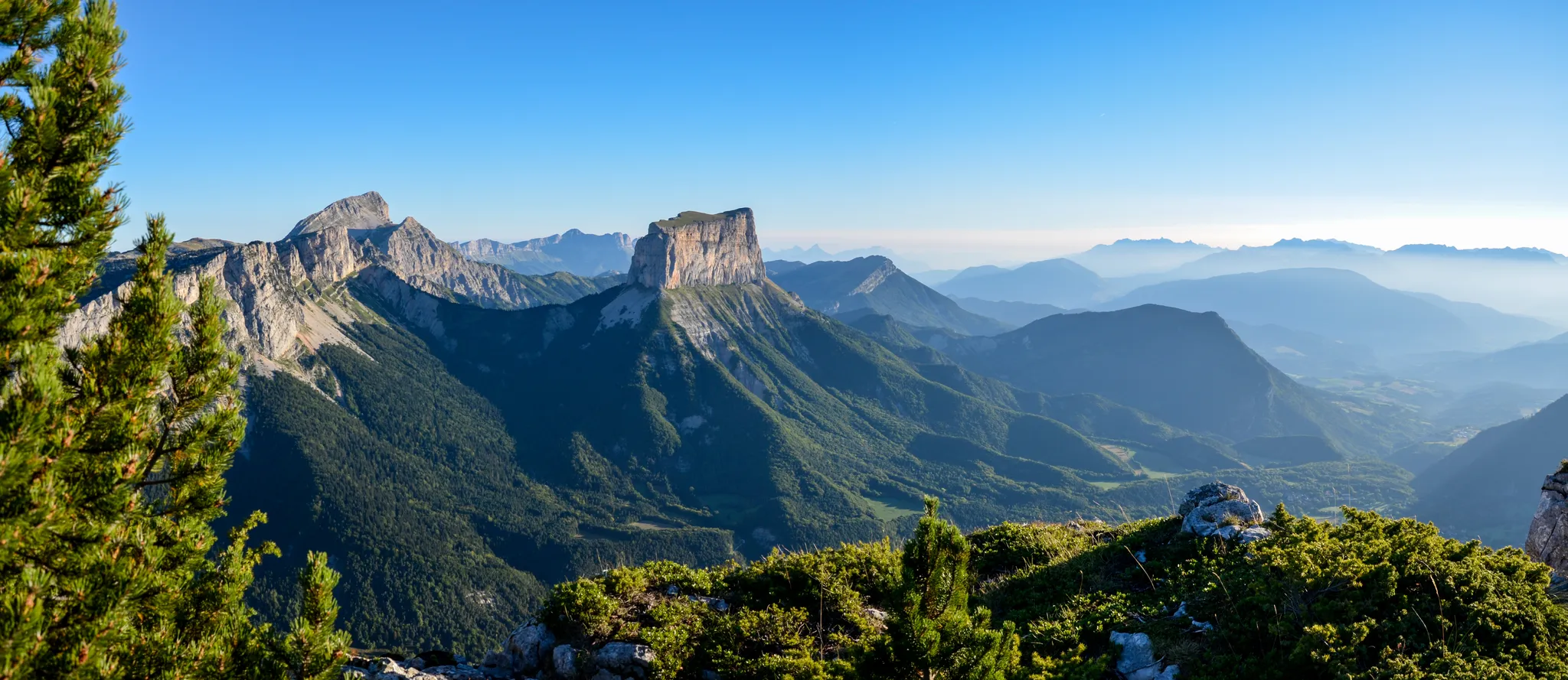
It is an iconic mountain of the Vercors. It is the cradle of mountaineering. This mountain was climbed using wooden ladders.
0
0

As pretty at the top as at the bottom, lots of ways to get to the top, accessible for all levels (not technical but lots of elevation gain depending on your starting point) but it's worth it!
1
0

On the way back, pick up cheese and yogurt from the laiterie!
0
0
Easy trail with breathtaking panoramas! Suitable for children.
0
0

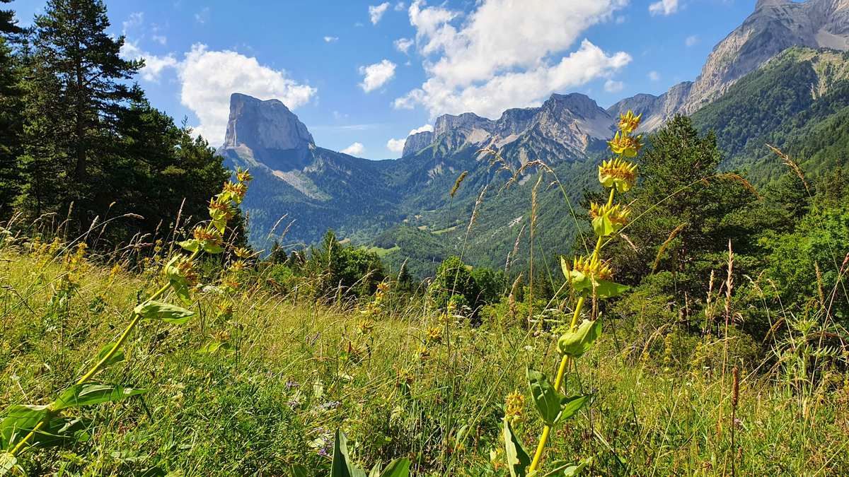
Beautiful chapel with Mont Aiguille in the background.
0
0

A magnificent setting under Mont-Aiguille.
0
0
Frequently Asked Questions
How many bus-accessible hiking trails are available in Réserve naturelle des Hauts Plateaux du Vercors?
There are over 250 hiking trails in the Réserve naturelle des Hauts Plateaux du Vercors that are accessible by bus, offering a wide range of options for all skill levels. This includes approximately 45 easy routes, 140 moderate routes, and 67 difficult routes.
What kind of landscapes can I expect to see on these bus-accessible trails?
The trails accessible by bus in the Réserve naturelle des Hauts Plateaux du Vercors traverse a diverse and dramatic landscape. You'll encounter vast, untamed wilderness, impressive limestone cliffs, deep gorges, and high plateaus. The region is known for its green valleys, mountain pastures, and dense forests, providing an immersive natural experience.
Are there any family-friendly bus-accessible hikes in the Vercors region?
Yes, there are several family-friendly options. For an easier walk with scenic views, consider the View of Mont Aiguille loop from Donnière. This route is approximately 5 km long with minimal elevation gain, making it suitable for families looking for a pleasant outing.
Can I bring my dog on the bus-accessible hiking trails?
While the Vercors region is generally dog-friendly, the Réserve naturelle des Hauts Plateaux du Vercors itself has strict regulations to protect its unique biodiversity. Dogs are generally not permitted within the core reserve, even on a leash. Always check specific trail regulations before heading out, as rules can vary for areas immediately surrounding the reserve. It's best to confirm with local tourist information or park authorities.
What are some notable natural features or landmarks I can see along these routes?
Many bus-accessible routes offer views of iconic natural features. The distinctive Grand Veymont, the highest point in the Vercors, is often visible. You might also encounter the impressive Pas de l'Aiguille Memorial, which is part of the Pas de l'Aiguille Memorial – Aupet Pass loop from Donnière. The region is also home to diverse flora and fauna, including marmots, chamois, and golden eagles.
Are there any circular routes accessible by bus?
Yes, many of the bus-accessible trails are circular, allowing you to start and end at the same point without needing to retrace your steps. An example is the View of Mont Aiguille – Aupet Pass loop from Donnière, which offers stunning vistas and returns you to your starting point.
What is the best time of year to hike from bus stations in the Vercors?
The best time for hiking in the Réserve naturelle des Hauts Plateaux du Vercors is typically from late spring to early autumn (May to October). During these months, the weather is generally milder, and trails are clear of snow. Spring brings vibrant wildflowers, while autumn offers beautiful foliage. Winter hiking is possible but requires specific equipment and experience due to snow and ice.
What do other hikers enjoy most about the bus-accessible trails in this region?
The area is highly rated by the komoot community, with an average score of 4.55 stars. Reviewers often praise the unparalleled sense of wilderness, the dramatic topography, and the opportunity for an immersive experience away from urban life. The extensive network of trails and the stunning views, particularly of Mont Aiguille, are frequently highlighted.
Are there any cafes or places to eat near the bus stops for these trails?
While the core of the Réserve naturelle des Hauts Plateaux du Vercors is a wilderness area with no permanent settlements, villages and towns surrounding the reserve often have amenities. For routes starting from places like Donnière, you'll find cafes and small eateries in nearby villages. It's always a good idea to check local opening hours, especially outside of peak season, and to carry sufficient water and snacks for your hike.
Do I need any special permits or reservations to hike in the Réserve naturelle des Hauts Plateaux du Vercors?
Generally, no specific hiking permits are required for day hikes in the Réserve naturelle des Hauts Plateaux du Vercors. However, as a protected area, certain activities like bivouacking have specific rules (e.g., no fires, no dogs). It's always recommended to consult the official website of the Vercors Regional Natural Park for the most up-to-date regulations before your visit. You can find more information on the broader region at drome-tourism.com.
Are there any moderate bus-accessible hikes that offer great views?
Absolutely. The Beautiful view – View of Mont Aiguille loop from Donnière is a moderate route that provides excellent panoramic views, including the iconic Mont Aiguille. It covers about 14 km with a moderate elevation gain, making it a rewarding option for those seeking a bit more challenge than an easy trail.
Most popular routes around Réserve naturelle des Hauts Plateaux du Vercors
Most popular attractions around Réserve naturelle des Hauts Plateaux du Vercors

Get inspired with the komoot mobile app


Explore more
Browse the best Hikes in other regions.
