Réserve naturelle des Hauts Plateaux du Vercors
Réserve naturelle des Hauts Plateaux du Vercors
The best cycling routes around Réserve naturelle des Hauts Plateaux du Vercors
4.4
(811)
11,758
riders
299
rides
Touring cycling routes around Réserve naturelle des Hauts Plateaux du Vercors traverse an expansive protected natural environment characterized by high plateaus, deep forests, and imposing limestone cliffs. Altitudes range significantly, with the highest point being Grand Veymont at 2,341 meters. The terrain includes extensive alpine pastures and the largest mountain pine forest in the limestone Alps. This region offers a challenging yet rewarding experience for touring cyclists.
Best touring cycling routes around Réserve naturelle des Hauts Plateaux du Vercors
- The…
Last updated: July 1, 2026
5.0
(1)
21
riders
Hard bike ride. Very good fitness required. Mostly paved surfaces. Suitable for all skill levels.
5.0
(2)
19
riders
34.8km
03:21
1,250m
1,250m
Hard bike ride. Very good fitness required. You may need to push your bike for some segments of this route.

Sign up for free
32
riders
29.1km
01:58
510m
510m
Hard bike ride. Very good fitness required. Mostly paved surfaces. Suitable for all skill levels.
20
riders
45.3km
04:17
1,200m
1,200m
Hard bike ride. Very good fitness required. You may need to push your bike for some segments of this route.
3.0
(1)
11
riders
46.2km
03:08
760m
760m
Hard bike ride. Very good fitness required. Mostly paved surfaces. Suitable for all skill levels.
Get access to more routes and recommendations from other explorers.
Sign up for free
Already have an account?
Our route recommendations are based on thousands of hikes, rides, and runs completed by other people on komoot.
Start today with a free account
Your next adventure awaits.
Login or Signup
Popular around Réserve naturelle des Hauts Plateaux du Vercors
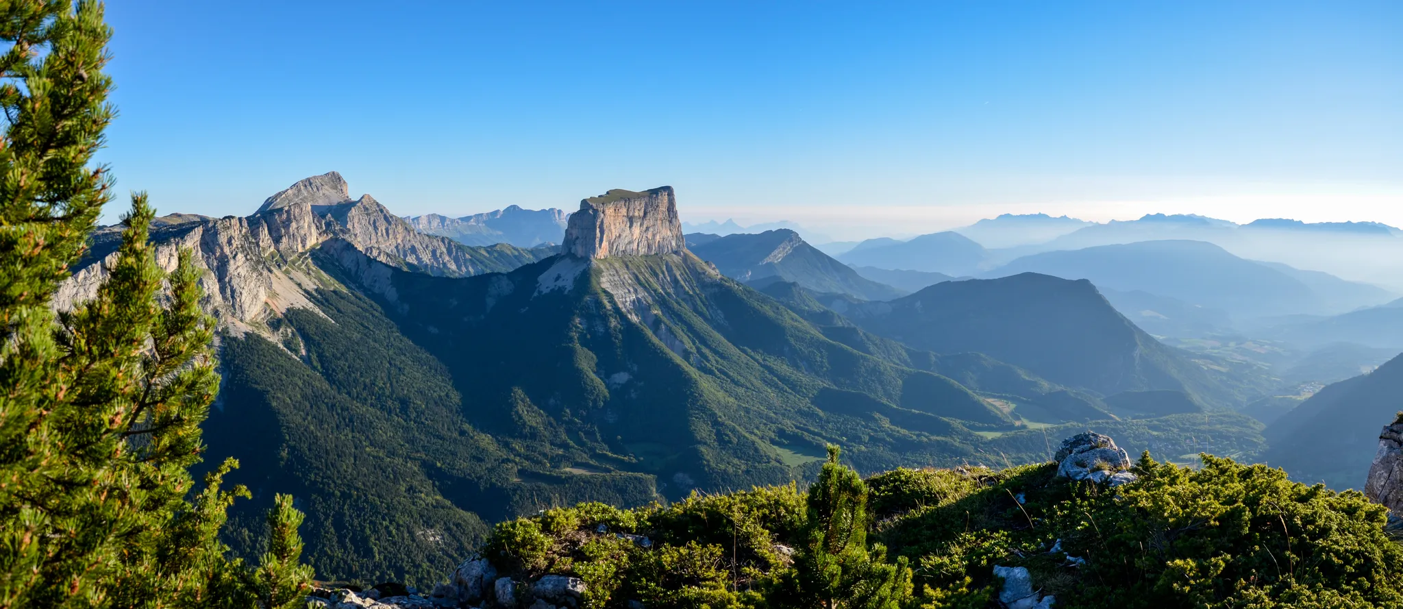
Grand Tour of the Vercors – first section

Écrins, Belledonne and Vercors – HexaTrek, Hautes-Alpes

France — two weeks of hiking at its best!
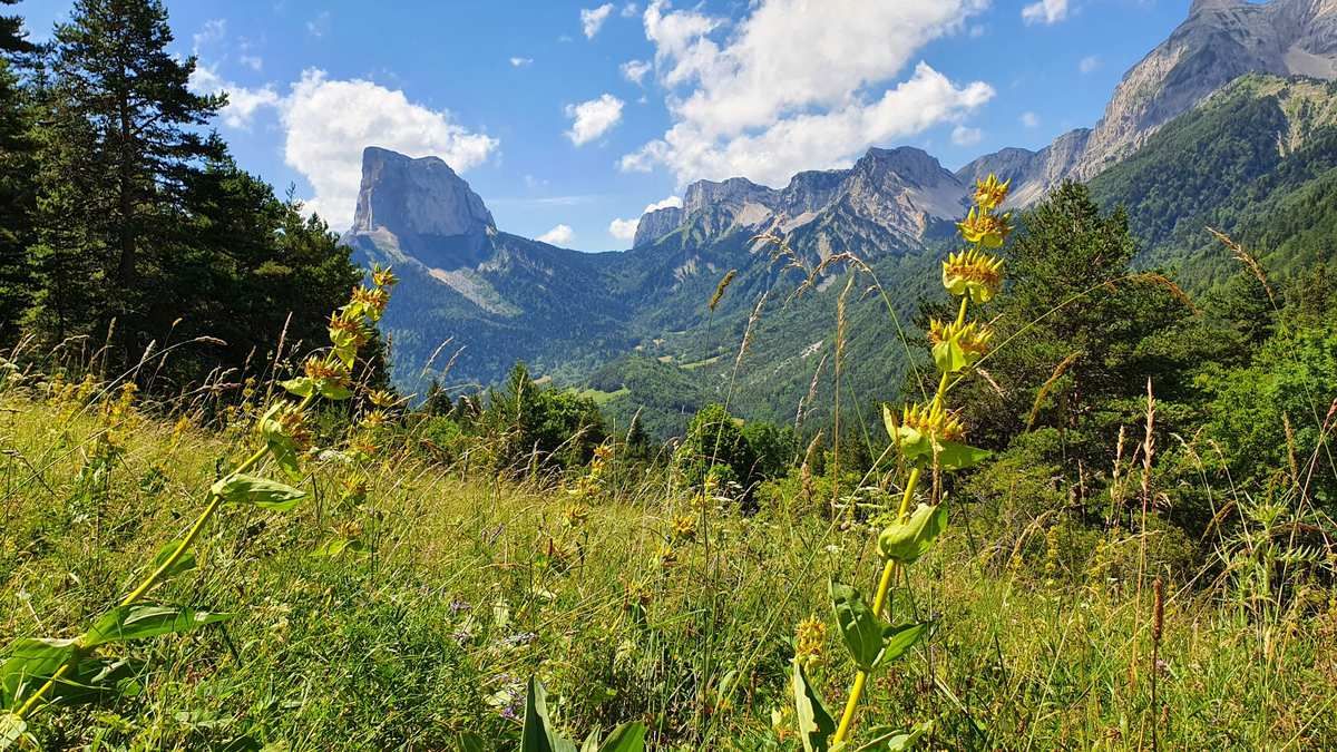
High altitude adventure — hiking across the high plateaus of the Vercors
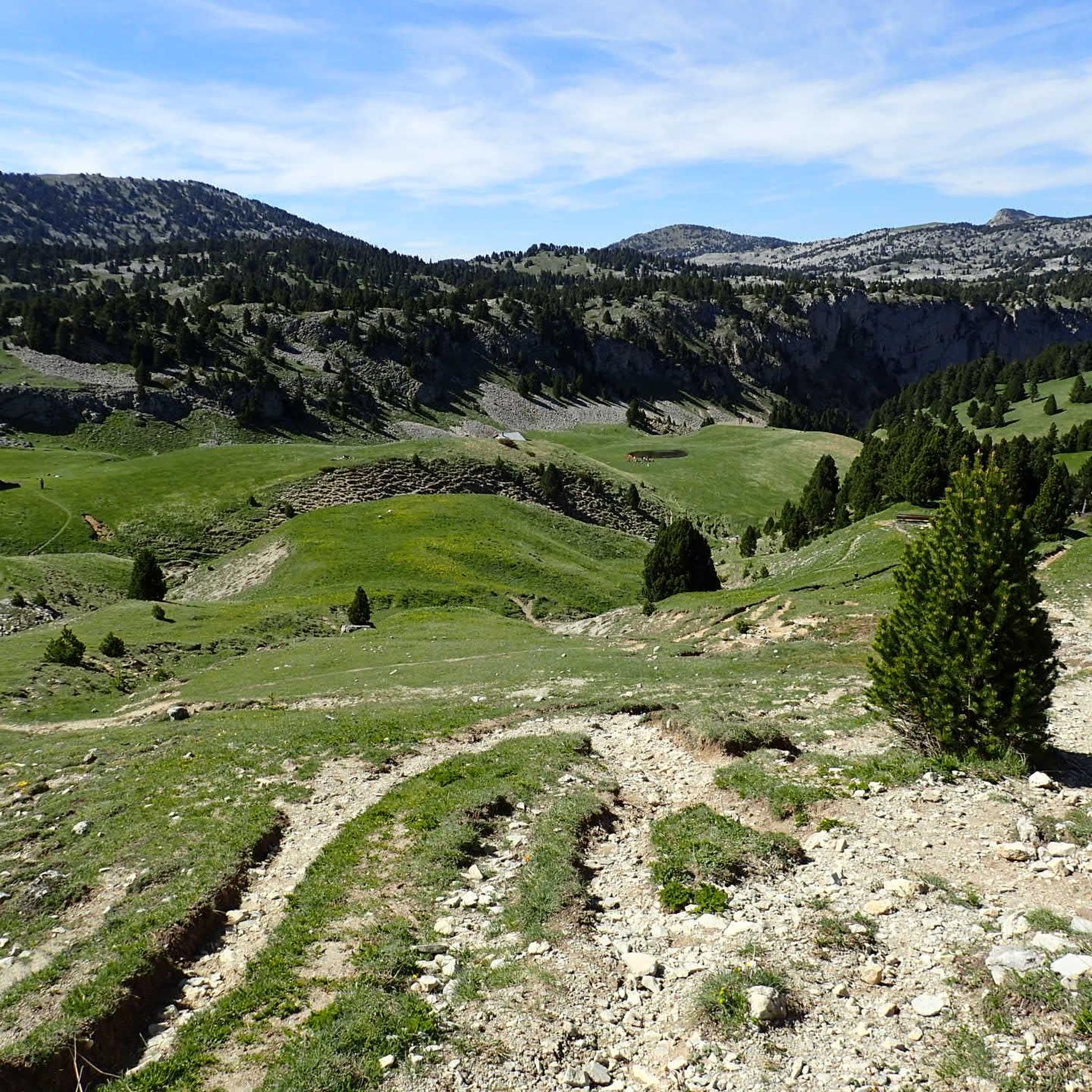
Road Cycling Routes around Réserve naturelle des Hauts Plateaux du Vercors
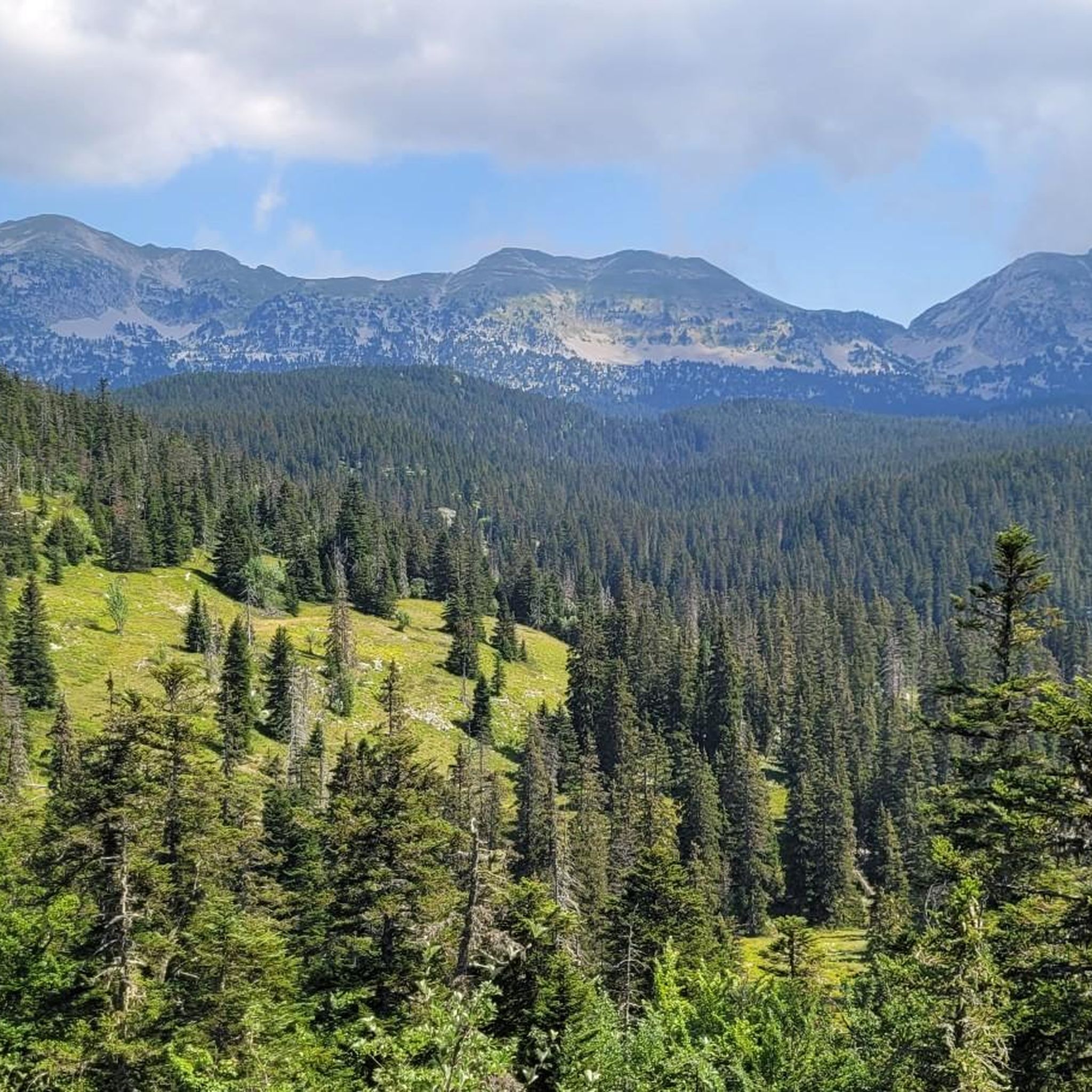
Hiking around Réserve naturelle des Hauts Plateaux du Vercors
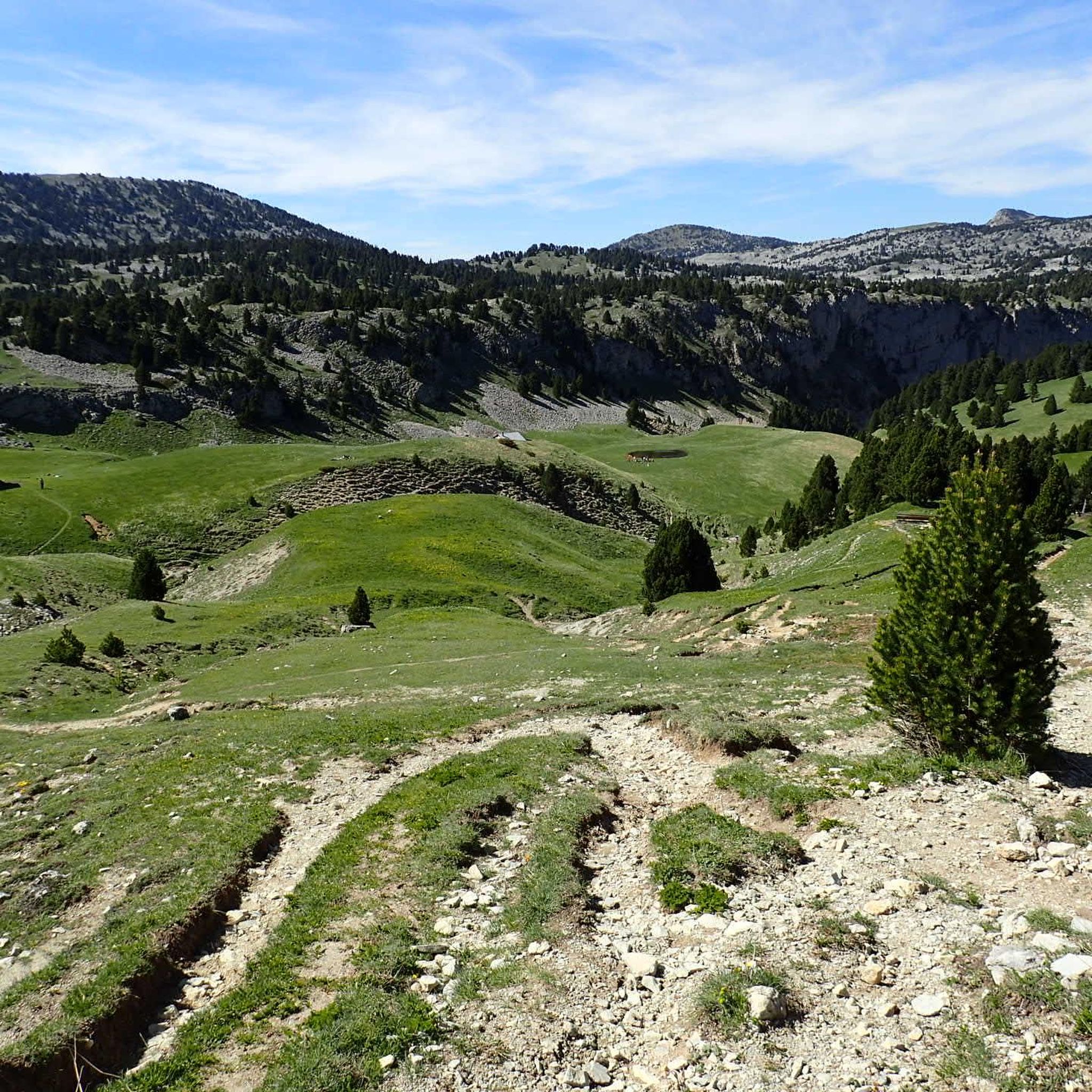
MTB Trails around Réserve naturelle des Hauts Plateaux du Vercors
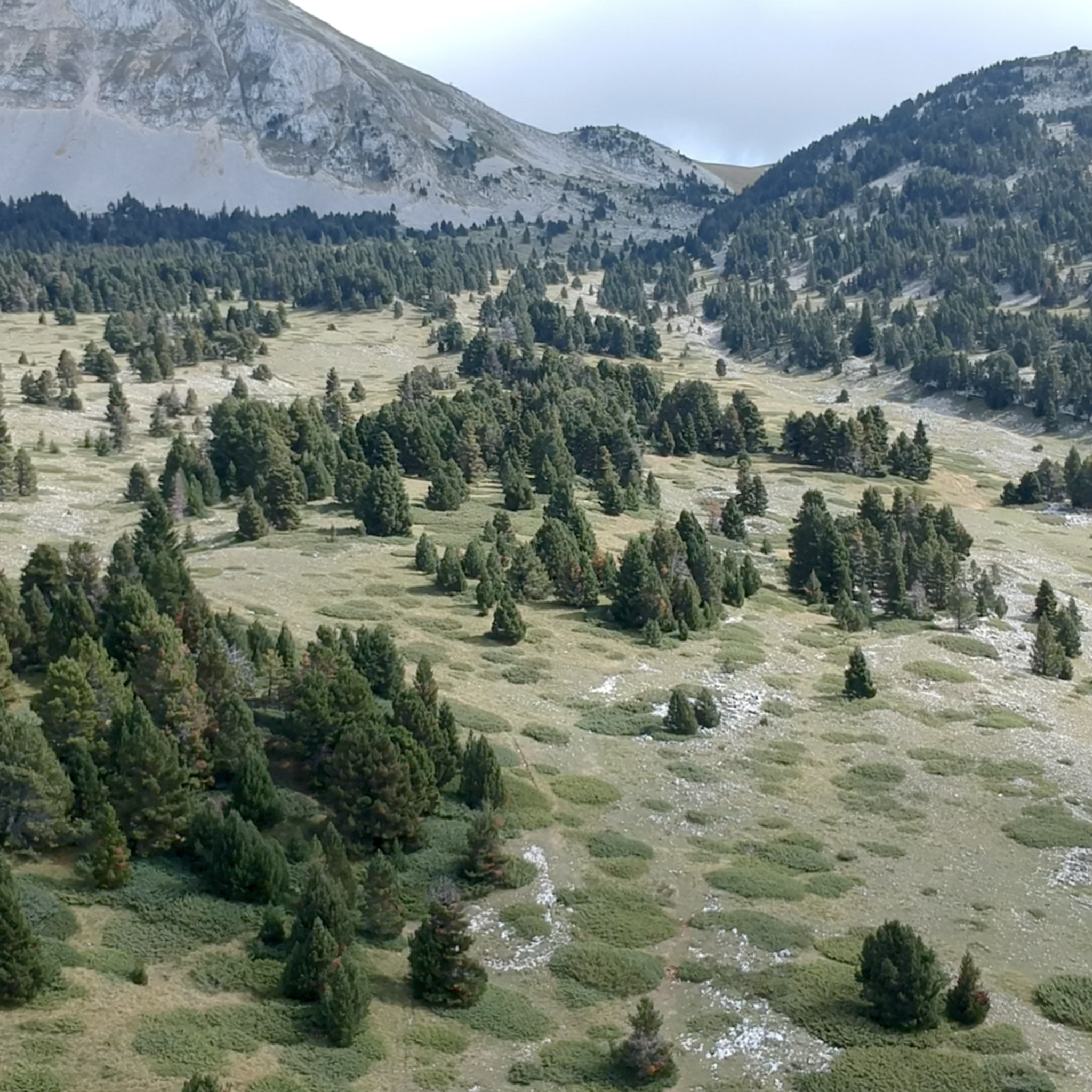
Running Trails around Réserve naturelle des Hauts Plateaux du Vercors

Gravel biking around Réserve naturelle des Hauts Plateaux du Vercors
Mountain Hikes around Réserve naturelle des Hauts Plateaux du Vercors
Other adventures around Réserve naturelle des Hauts Plateaux du Vercors


Tips from the Community

Camping Belle Roche in the heart of Trièves is a 3-star campsite located in Lalley, Isère, in the heart of the Trièves region, between the Vercors and the Écrins massif.
8
0

Spectacular view at the junction with the Route des Aiguilles leading onto a track overlooking the gorge.
0
0

A lovely little quiet place with a Vival and one of my favorite campsites. Everything is top-notch, and the owners are incredibly friendly. A spectacular area for cycling and hiking. A completely underrated region with hardly any traffic.
0
0

magnificent little walk to do
0
0
the gateway to the southern Vercors, magnificent
0
0
magnificent pass with a thousand colors
0
0
Magnificent Col de Rousset by mountain bike or on foot, hundreds of possible rides
0
0
A beautiful page of history
1
0
Frequently Asked Questions
How many touring cycling routes are available in Réserve naturelle des Hauts Plateaux du Vercors?
There are over 300 touring cycling routes available in the Réserve naturelle des Hauts Plateaux du Vercors, offering a wide range of options for different skill levels and preferences. You'll find everything from short, easy loops to challenging multi-day adventures.
What are the general difficulty levels for touring cycling in the Réserve naturelle des Hauts Plateaux du Vercors?
The Réserve naturelle des Hauts Plateaux du Vercors offers a diverse range of touring cycling routes. Approximately 34 routes are considered easy, 88 are moderate, and 182 are difficult. This means you can find paths suitable for a relaxed ride or a demanding challenge, often characterized by significant elevation changes and varied terrain.
Are there any easy touring cycling routes suitable for beginners or families?
Yes, there are several easy touring cycling routes. For instance, the View of Mont Aiguille – Chichilianne loop from Richardière is an easy 3.3-mile (5.4 km) path with minimal elevation change, offering beautiful views of Mont Aiguille. This route is a good option for those seeking a less strenuous ride.
What kind of landscapes can I expect to see while touring cycling in the Réserve naturelle des Hauts Plateaux du Vercors?
The region is defined by dramatic limestone formations, expansive alpine meadows, and dense mountain pine forests. You'll encounter high plateaus, deep forests, and imposing cliffs, with altitudes reaching up to 2,341 meters at Grand Veymont. The scenery is continuously changing, offering breathtaking views from ridge lines and glimpses of iconic formations like Mont Aiguille.
What are some notable natural features or viewpoints along the touring cycling routes?
The reserve boasts several impressive natural features. You can cycle past areas offering views of Grand Veymont, the highest point of the Vercors massif, or the striking Pié Ferré (Le Dôme). The Pas des Chattons also offers a notable viewpoint. The region's unique topography, with its high plateaus and cliffs, provides numerous scenic vistas.
What is the best time of year for touring cycling in the Réserve naturelle des Hauts Plateaux du Vercors?
The best time for touring cycling is generally during the warmer months, from late spring to early autumn. This avoids the snow and ice that can make higher altitude routes impassable. The region's alpine pastures and forests are particularly vibrant during these seasons, offering pleasant cycling conditions and opportunities to spot wildlife.
Are there any multi-day touring cycling options or challenging routes for experienced cyclists?
Yes, the Réserve naturelle des Hauts Plateaux du Vercors offers challenging routes suitable for experienced cyclists, including sections of the Grandes Traversées du Vercors (GTV) mountain biking network. These routes can be technical and require a high degree of autonomy, with unguarded huts available for basic shelter. An example of a difficult route is the Pré Peyret Hut – Roman Road of Vercors loop from Grotte de la Luire, which covers over 45 km with significant elevation gain.
What kind of wildlife might I encounter while cycling in the reserve?
The reserve is a meeting point for Alpine and Mediterranean species, offering exceptional biodiversity. Cyclists might spot marmots, chamois, ibex, golden eagles, and black grouse. The rich flora also includes around a thousand species, such as wild tulips, edelweiss, gentians, and globe flowers, adding to the natural beauty of the rides.
Are there any circular touring cycling routes in the area?
Yes, many touring cycling routes in the Réserve naturelle des Hauts Plateaux du Vercors are designed as loops, allowing you to start and end at the same point. Examples include the MONT AIGUILLE TAG – Trézanne loop from Chichilianne, a challenging 21.5-mile (34.6 km) route, and the easier View of Mont Aiguille – Chichilianne loop from Richardière.
What do other touring cyclists say about their experience in Réserve naturelle des Hauts Plateaux du Vercors?
The touring cycling routes in Réserve naturelle des Hauts Plateaux du Vercors are highly rated by the komoot community, with an average score of 4.5 stars from over 700 reviews. Cyclists often praise the immense and wild landscapes, the sense of disconnection from urban life, and the continuously changing, breathtaking views.
Are there any specific regulations or permits required for cycling within the Réserve naturelle des Hauts Plateaux du Vercors?
The Réserve naturelle des Hauts Plateaux du Vercors is a protected natural environment. While general touring cycling is permitted on designated routes, specific mountain biking variations, such as parts of the GTV, may have restrictions or require adherence to specific guidelines. It's always advisable to check local regulations for the most up-to-date information, especially regarding access to the core reserve area which is free from roads and permanent habitation.
Where can I find parking for touring cycling routes in the Réserve naturelle des Hauts Plateaux du Vercors?
Many touring cycling routes start from villages or access points around the perimeter of the reserve, such as Chichilianne or Richardière, where parking facilities are typically available. For routes venturing deeper into the reserve, specific starting points may have limited parking, so it's recommended to check the route details on komoot for suggested parking locations.
Most popular routes around Réserve naturelle des Hauts Plateaux du Vercors
Most popular attractions around Réserve naturelle des Hauts Plateaux du Vercors

Get inspired with the komoot mobile app


Explore more
Browse the best Cycling routes in other regions.
