The best hikes from bus stations around Parc Ela
4.7
(10432)
87,107
hikers
236
hikes
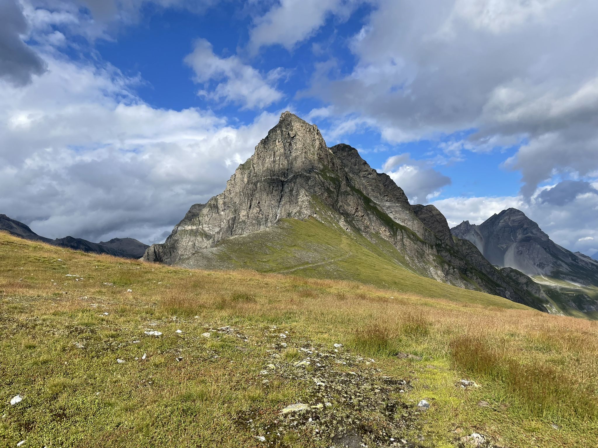
Bus station hiking trails around Parc Ela offer access to Switzerland's largest nature park, characterized by a diverse topography ranging from low-lying areas to high alpine peaks. The region features rugged gorges, pristine pine forests, alpine meadows, and mountain lakes. Historic alpine passes like Albula, Julier, and Septimer shape the cultural landscape, providing varied hiking experiences.
Best bus station hiking trails around Parc Ela
- The most popular bus station hiking route is Viaduct hike in Filisur, a 7.8 miles…
Last updated: May 16, 2026
4.7
(62)
263
hikers
12.6km
03:57
340m
340m
Moderate hike. Good fitness required. Mostly accessible paths. Sure-footedness required.
4.3
(6)
62
hikers
6.91km
01:55
130m
130m
Easy hike. Great for any fitness level. Easily-accessible paths. Suitable for all skill levels.

Sign up for free
4.5
(8)
64
hikers
4.94km
01:25
120m
120m
Easy hike. Great for any fitness level. Easily-accessible paths. Suitable for all skill levels.
5.0
(1)
18
hikers
10.7km
05:06
900m
900m
Hard hike. Very good fitness required. Mostly accessible paths. Sure-footedness required.
4.9
(29)
241
hikers
17.8km
07:59
1,130m
1,110m
Hard hike. Very good fitness required. Sure-footedness, sturdy shoes and alpine experience required.
Get access to more routes and recommendations from other explorers.
Sign up for free
Already have an account?
Our route recommendations are based on thousands of hikes, rides, and runs completed by other people on komoot.
Start today with a free account
Your next adventure awaits.
Login or Signup
Popular around Parc Ela

Alpine Passes Trail – hiking 700km across Switzerland
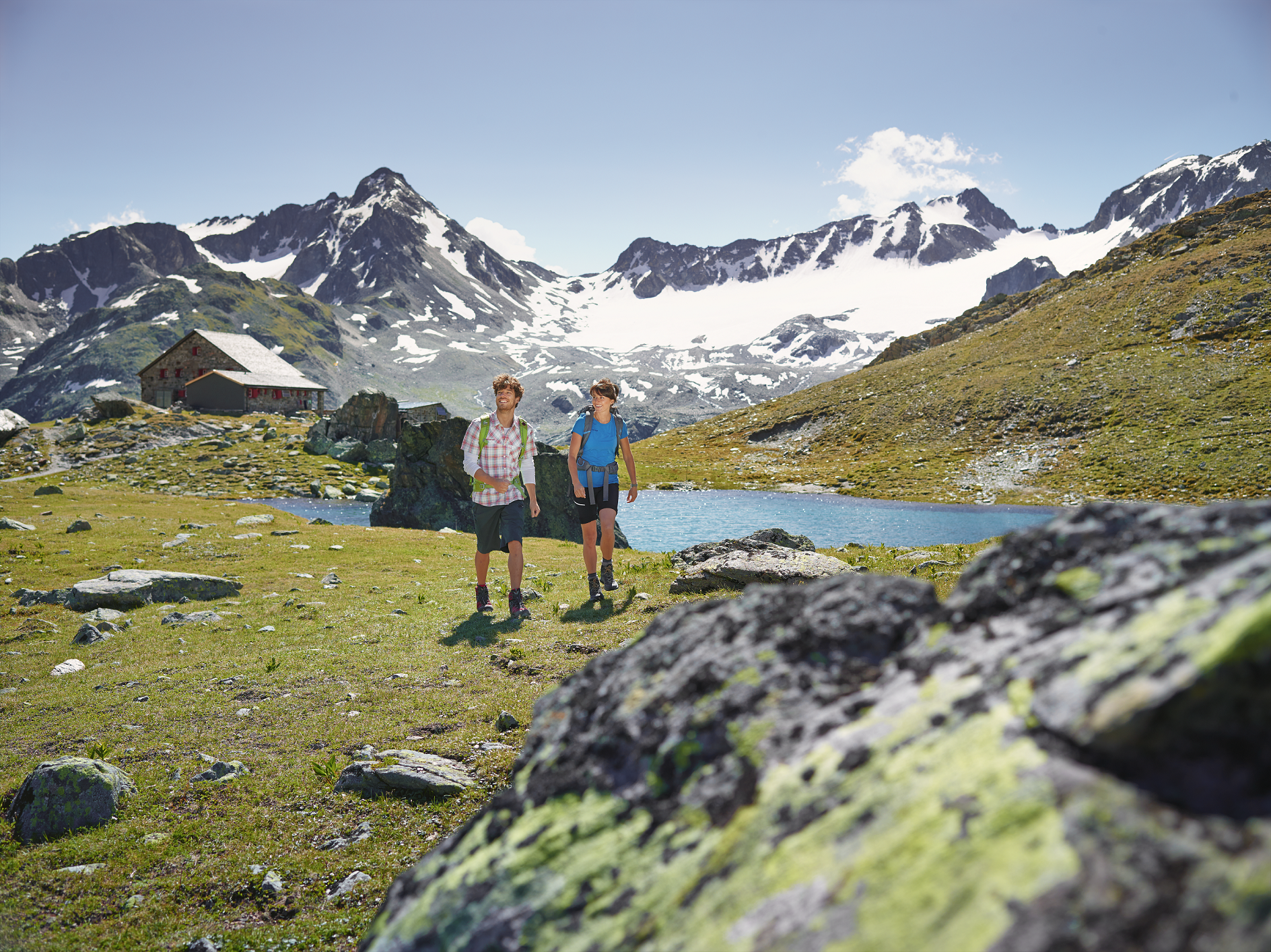
Kesch-Trek – A four-day hut adventure in Davos Klosters
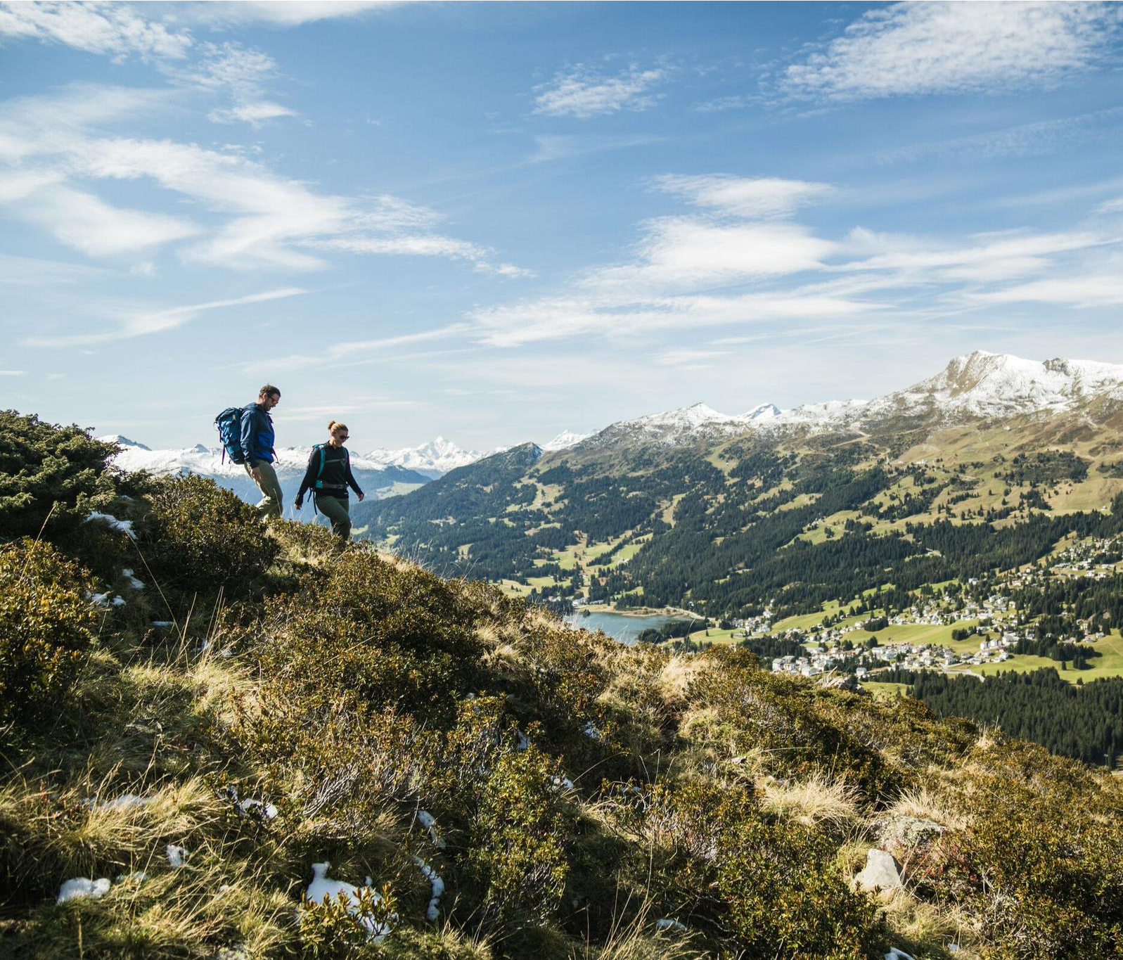
Diverse natural beauty – autumn hiking in Lenzerheide
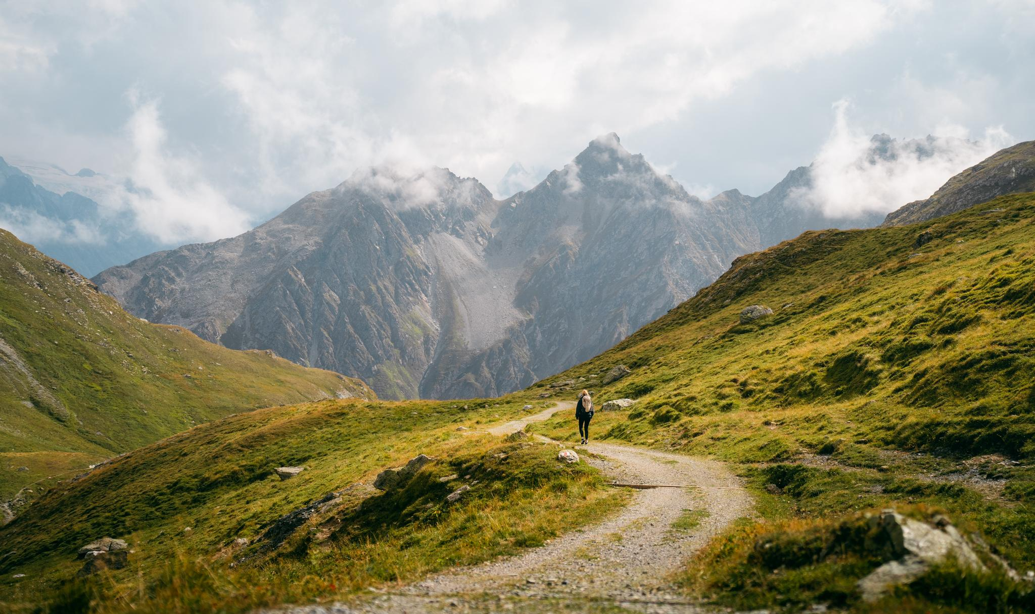
Quiet villages, proud passes, impressive history – the Via Sett
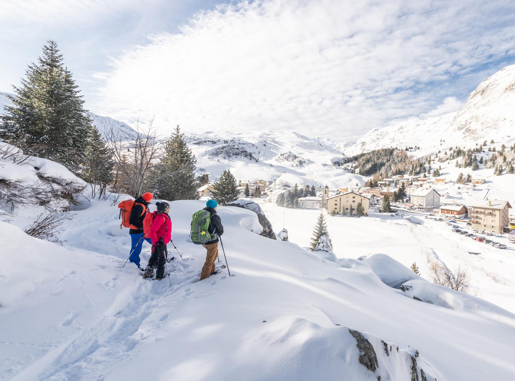
Snowshoe Safari – snowshoe trails through Graubünden
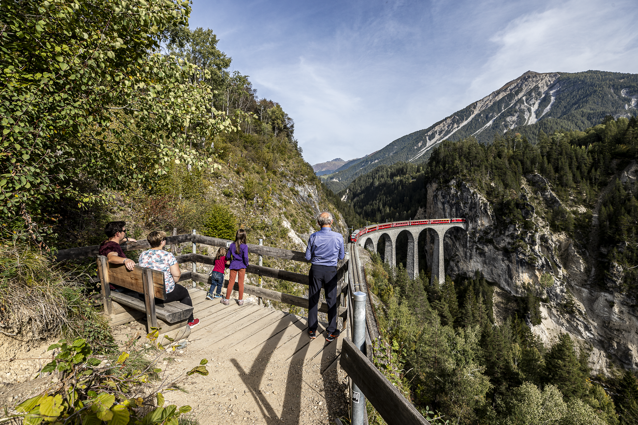
Historic railways and joyous hiking in the Landwasser World
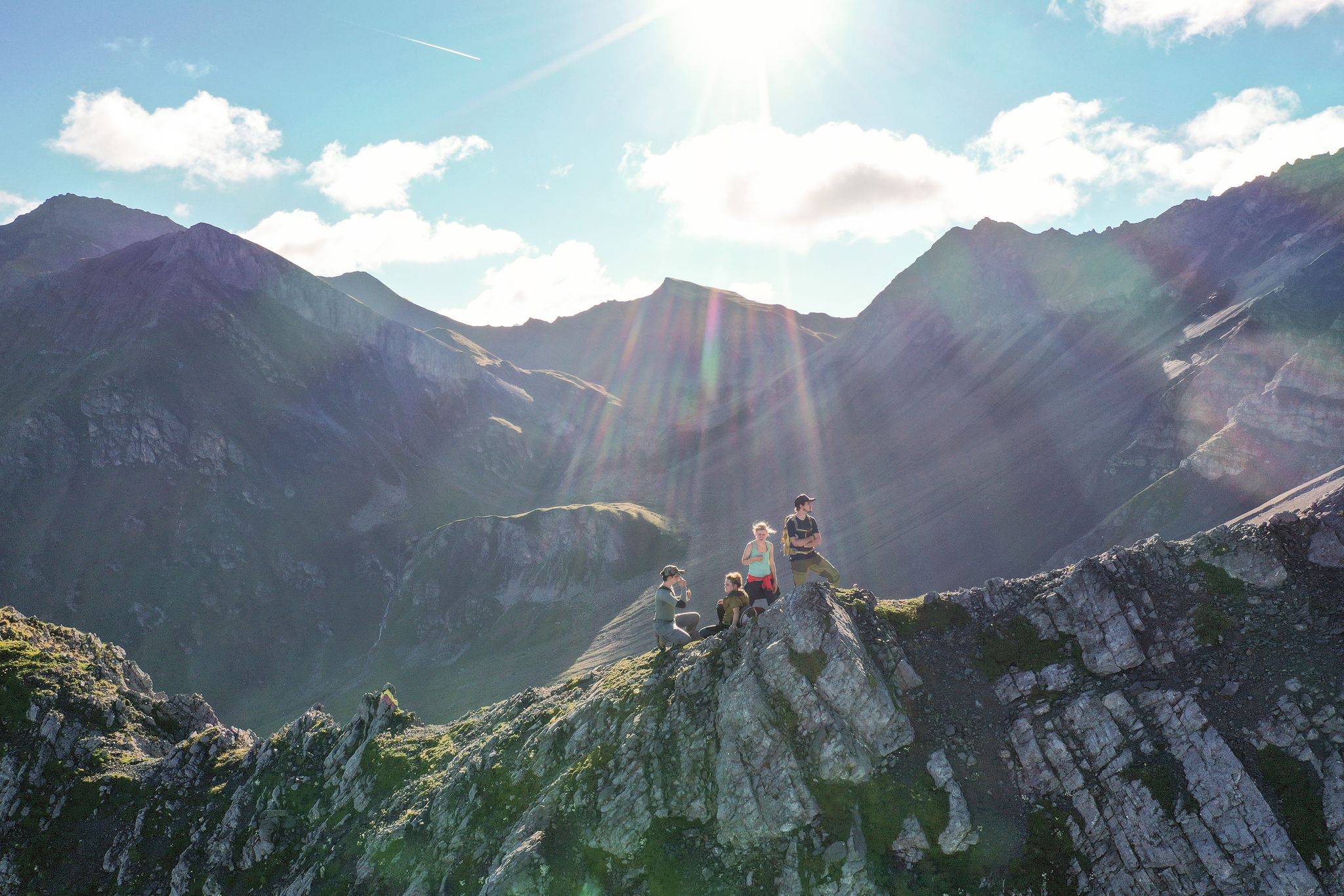
Satisfy your wanderlust in the Lenzerheide region
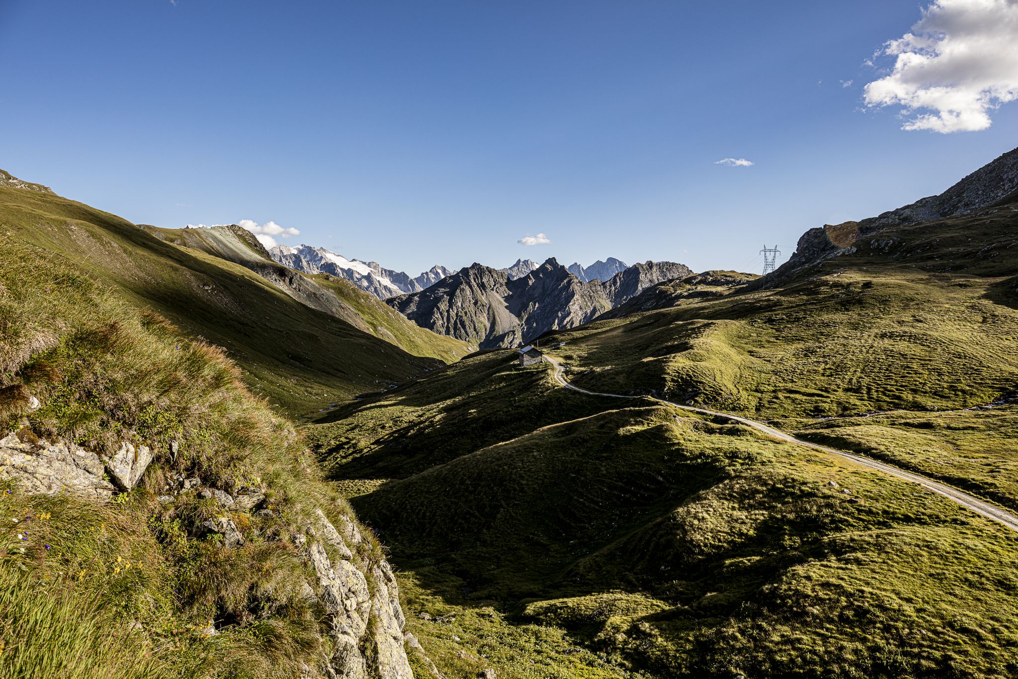
Parc Ela Trek – 17 days of trekking in the heart of Europe
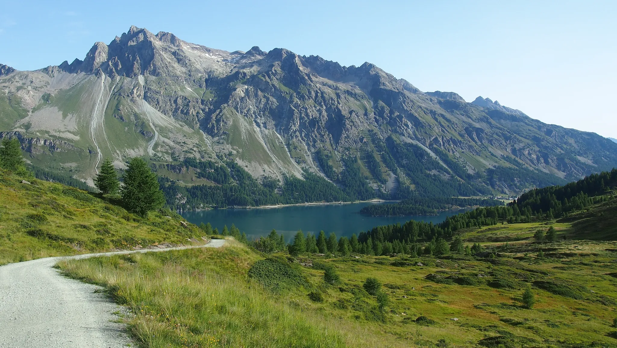
The Colors of Engadin - Senda Segantini
Spectacular nature park in Graubünden – Val Surses to Safiental
Other adventures around Parc Ela


Tips from the Community

not only for this view is it a super great tour
0
0

Landwasser Viaduct / Built 1901–02 The Landwasser Viaduct, built in 1901–02, is a masonry arch bridge, built in a curve, with a length of 136 m, a height of 65 m and spans of 20 m. It is one of the most elegant bridge constructions of the RhB. Text / Source: Bergün Filisur Tourismus AG Gästeinformation, Veja Stazion 11, Bergün/Bravuogn https://www.berguen-filisur.graubuenden.ch/de/landwasserviadukt
15
0
The Landwasser Viaduct of the Rhaetian Railway A must-see for all railway enthusiasts – beauty and boldness combined. With its 65m high, tapering pillars, the viaduct is one of the most elegant bridge constructions in Graubünden and the most photographed work of art of the Rhaetian Railway. The largest and at the same time most spectacular structure on the 63-kilometer-long Albula line between Thusis and St. Moritz. The Albula and Bernina lines of the Rhaetian Railway have been part of the Unesco World Heritage since mid-July 2008, and are only the third railway line worldwide to do so. The construction of the three main pillars of the viaduct in 1901/1902 was an architectural masterpiece, as they were built without scaffolding using two cranes. After 106 years, the masonry and the track trough were repaired for the first time. The natural stone viaduct made of calcdolomite is 142 meters long and leads in a sweeping curve over the wild Landwasser valley directly into a tunnel, the entrance of which is located on the vertically falling rock face. From the village of Filisur, a footpath leads in half an hour to a beautiful viewpoint from which the viaduct can be admired (and photographed). The path continues either down to the river, under the viaduct into the gorge, or at the fork in the path to the viewpoint, continuing for two hours to the Wiesenv iaduct. This can also be crossed on a footpath and thus becomes a special experience with a deep view. Text / Source: Bergün Filisur Tourismus AG, Veja Stazion 11, Bergün / Bravuogn https://www.myswitzerland.com/de-ch/erlebnisse/landwasserviadukt-der-rhb/
15
0
Landwasser Viaduct (near Filisur station) Landwasser Viaduct is a 65-meter-high and long railway bridge. Its pillars majestically rise 65 meters high: The Landwasser Viaduct on the Albula Line, which allows the Rhaetian Railway to cross the roaring Landwasser river over a length of 141.7 meters. In a large curve, the viaduct leads directly into a steep rock face. This breathtaking structure is today the most photographed subject on the Rhaetian Railway line. But the origin story of the viaduct is also amazing: The Greek-Swiss engineer Alexander Acatos (1873-1950) was entrusted with the construction of the viaduct. He was also the one who later planned the expansion of Zurich Main Station for the SBB. Under Acatos's guidance, the five limestone pillars with six semi-circular arches, each with a span of 20 meters, were built starting in March 1901. For cost reasons, a new construction technique was developed for the building: The pillars were built without external scaffolding. Instead, iron frameworks were embedded in the three longest pillars and adjusted in height with each construction progress. The three iron frameworks were connected with crossbeams, to which electric construction cranes could be mounted. These lifted the necessary building materials to the respective pillar height. To connect the stones of the pillars, a mixture of calcareous mortar and sand was used. The mortar came from a factory in Unterterzen on Lake Walen and was transported to the emerging Landwasser Viaduct via a construction railway laid on the future track with a 0.75-meter gauge. After only about one and a half years of construction, the Landwasser Viaduct was completed in October 1902. The building substance has since proven to be resilient: The Landwasser Viaduct only had to be slightly repaired in 2009. Today, the Landwasser Viaduct is still the landmark of the Rhaetian Railway and, as an imposing structure, invites passengers, tourists, and locals to take photos. Text / Source: Rhaetian Railway AG, Bahnhofstrasse 25, CH - 7001 Chur https://www.rhb.ch/de/blog/weltbekannt-der-landwasserviadukt
15
0
Landwasserviadukt „142 meters long and 65 meters high bridge piers“ The 142-meter-long Landwasserviadukt is the landmark of the Rhaetian Railway. The viaduct leads in a beautiful curve across the Landwasser Valley directly into the rugged rock face into the Landwasser Tunnel. The hallmark of the Landwasserviadukt are the six closely spaced, 65-meter-high bridge piers with a span of only 20 meters. „Built 1901–02“ Text / Source: Rhätische Bahn AG, Bahnhofstrasse 25, Chur https://tickets.rhb.ch/de/products/landwasserviadukt
15
0

Brilliant training ground for the biathletes
0
0

Scasaluir lies on the southern slope of Piz Linard. The hiking trail is a dead end here, but that doesn't make it any less worthwhile. The landscape is uniquely beautiful, and the steep climb offers magnificent views.
0
0
The parish church of St. Mary is beautifully situated on a green hill outside the village center of Lantsch/Lenz. It was first documented in 831 and has been expanded several times over the centuries. While its exterior appearance is rather simple, the interior boasts intricate murals. The church is closed, but can be visited by appointment with the church's attendant.
0
0
Frequently Asked Questions
How many bus-accessible hiking trails are there in Parc Ela?
Parc Ela offers a vast network of over 230 hiking routes that are accessible by bus, catering to various skill levels and interests. This includes approximately 70 easy trails, 120 moderate routes, and nearly 50 more challenging options.
What kind of landscapes can I expect on bus-accessible hikes in Parc Ela?
Bus-accessible hikes in Parc Ela traverse a remarkably diverse landscape. You can expect to see everything from gentle hedgerow landscapes and flowering dry grasslands to rugged gorges like the Zügenschlucht, pristine pine forests, and high alpine meadows. Many routes offer views of crystal-clear lakes, such as Lai da Palpuogna, and the grandeur of surrounding peaks.
Are there easy bus-accessible hikes suitable for beginners or families?
Yes, Parc Ela has many easy bus-accessible trails perfect for beginners and families. For instance, the To the Crap la Tretscha viewpoint (748) route offers a relatively short and gentle climb to a scenic spot. The region also features themed trails like the Nutcracker Trail above Bergün, which are designed to be engaging for younger hikers.
Are there circular bus-accessible routes in Parc Ela?
Absolutely. Many bus-accessible routes in Parc Ela are designed as circular walks, allowing you to start and end at the same bus stop. An example is the Lantsch Bual loop, which offers a pleasant, easy hike through varied terrain.
What interesting sights or landmarks can I see along bus-accessible routes in Parc Ela?
Parc Ela's bus-accessible trails often lead past significant natural and cultural landmarks. You can explore impressive natural features like the Zügenschlucht gorge, or discover historic alpine passes such as the Julier Pass and Albula Pass. Many routes also pass through charming, authentic villages like Bergün and Filisur, offering glimpses into Rhaeto-Romanic culture.
How can I experience the UNESCO World Heritage Albula Railway on a bus-accessible hike?
You can combine bus travel with a hike along the Albula Railway Adventure Trail. This trail follows the historic railway line, a UNESCO World Heritage Site, offering stunning views of impressive viaducts and spiral tunnels. The Viaduct hike in Filisur is an excellent example of a bus-accessible route that allows you to experience this engineering marvel up close.
Are there any huts or places to eat along the bus-accessible trails?
Yes, several bus-accessible trails have huts or restaurants nearby where you can stop for refreshments or a meal. For instance, the Kesch Hut (SAC) is a well-known mountain hut in the region, and you might find smaller eateries like Gässalibeizli Jenisberg along certain routes. It's always a good idea to check opening times in advance.
Can I bring my dog on bus-accessible trails in Parc Ela?
Generally, dogs are welcome on hiking trails in Parc Ela, provided they are kept on a leash, especially in nature protection areas and near livestock. When using public transport, specific rules may apply regarding muzzles or tickets for dogs, so it's advisable to check with the bus operator beforehand.
What is the best time of year for bus-accessible hiking in Parc Ela?
The best time for bus-accessible hiking in Parc Ela is typically from late spring to early autumn (May to October). During these months, trails are generally free of snow, alpine meadows are in bloom, and the weather is most favorable. High-altitude routes, especially those near passes, might still have snow patches in early summer.
What do other hikers enjoy the most about hiking in Parc Ela?
The komoot community highly rates the hiking experiences in Parc Ela, with an average score of 4.7 stars. Reviewers often praise the region's stunning natural diversity, from dramatic gorges to serene alpine lakes, and the well-maintained trails. The ability to access many trailheads via public transport is also frequently highlighted as a major convenience.
Are there any challenging bus-accessible hikes for experienced hikers?
Yes, experienced hikers can find challenging bus-accessible routes in Parc Ela. These often involve significant elevation gain and longer distances. An example is the demanding Insider tip: Lantsch – Scasaluir route, which offers a strenuous climb and rewarding views. Another option is the Lai da Palpuogna – Fuorcla Crap Alv loop from Albulapass, which is a difficult full-day tour.
Most popular routes around Parc Ela
Most popular attractions around Parc Ela

Get inspired with the komoot mobile app


Explore more
Browse the best Hikes in other regions.
