The best mountain hikes around Parc Ela
5.0
(44)
440
hikers
44
hikes
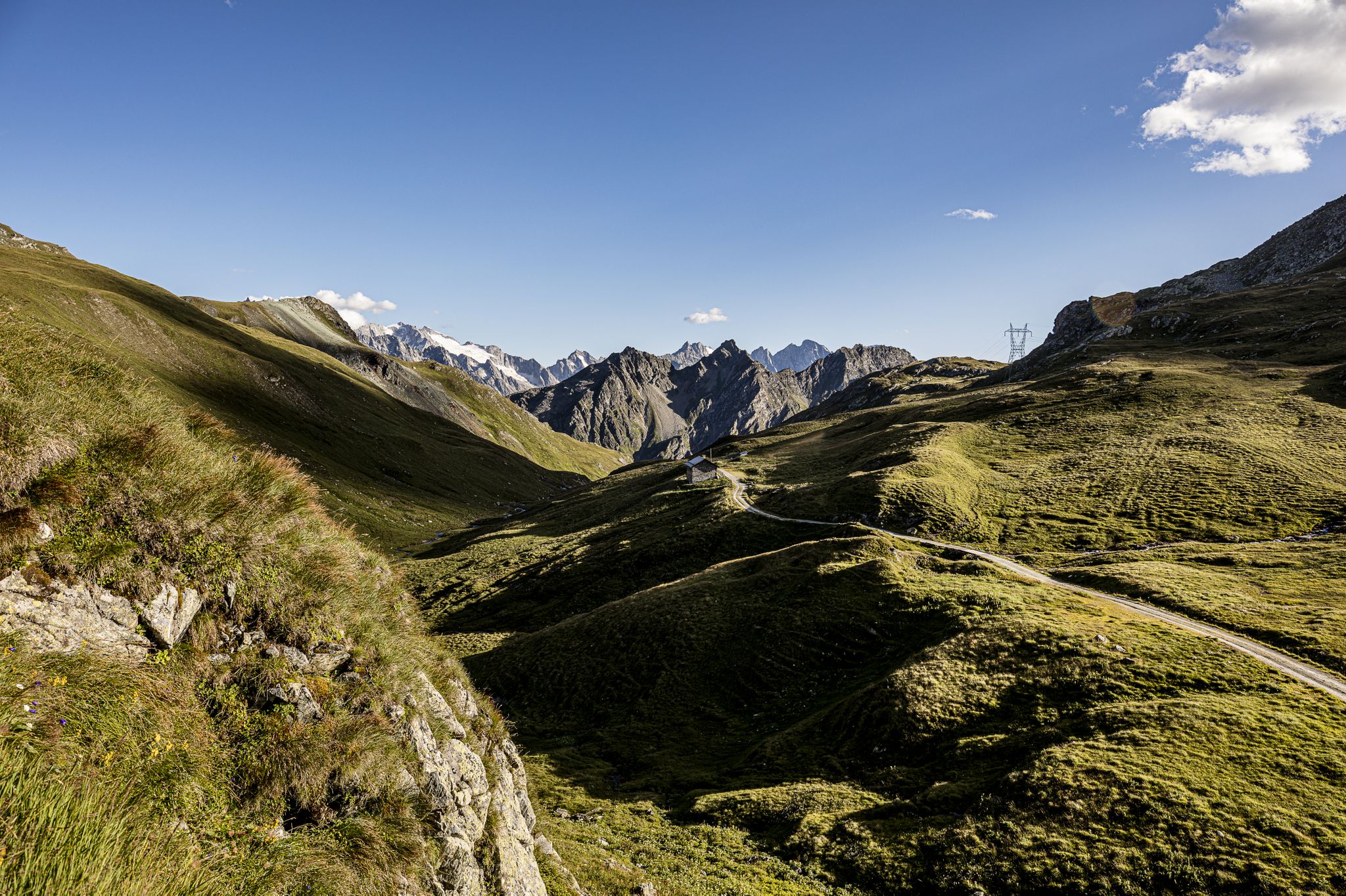
Mountaineering routes around Parc Ela traverse Switzerland's largest nature park, characterized by rugged mountain terrain, steep summits, and high-alpine environments. The landscape features rock, scree, and high meadows, alongside glaciers and mountain lakes. Significant peaks like Piz Kesch, at 3418 meters, offer challenging ascents for experienced mountaineers. This diverse region provides extensive trails for demanding expeditions.
Best mountaineering routes around Parc Ela
- The most popular mountaineering route is Igl Compass Summit – Pass d'Alvra loop from Preda, a 10.1…
Last updated: September 26, 2026
5.0
(2)
9
hikers
16.5km
07:45
1,180m
1,180m
Hard mountaineering route. Very good fitness required. Sure-footedness, sturdy shoes and alpine experience required.
6
hikers
15.7km
06:28
930m
930m
Hard mountaineering route. Very good fitness required. Mostly accessible paths. Sure-footedness required.

3
hikers
14.8km
06:12
960m
960m
Hard mountaineering route. Very good fitness required. Sure-footedness, sturdy shoes and alpine experience required.
5.0
(2)
11
hikers
8.49km
04:30
660m
660m
Hard mountaineering route. Good fitness required. Sure-footedness, sturdy shoes and alpine experience required.
5.0
(2)
8
hikers
15.5km
07:28
1,170m
1,170m
Hard mountaineering route. Very good fitness required. Sure-footedness, sturdy shoes and alpine experience required.
Get access to more routes and recommendations from other explorers.
Already have an account?
Our route recommendations are based on thousands of hikes, rides, and runs completed by other people on komoot.
Start today with a free account
Your next adventure awaits.
Popular around Parc Ela

Alpine Passes Trail – hiking 700km across Switzerland
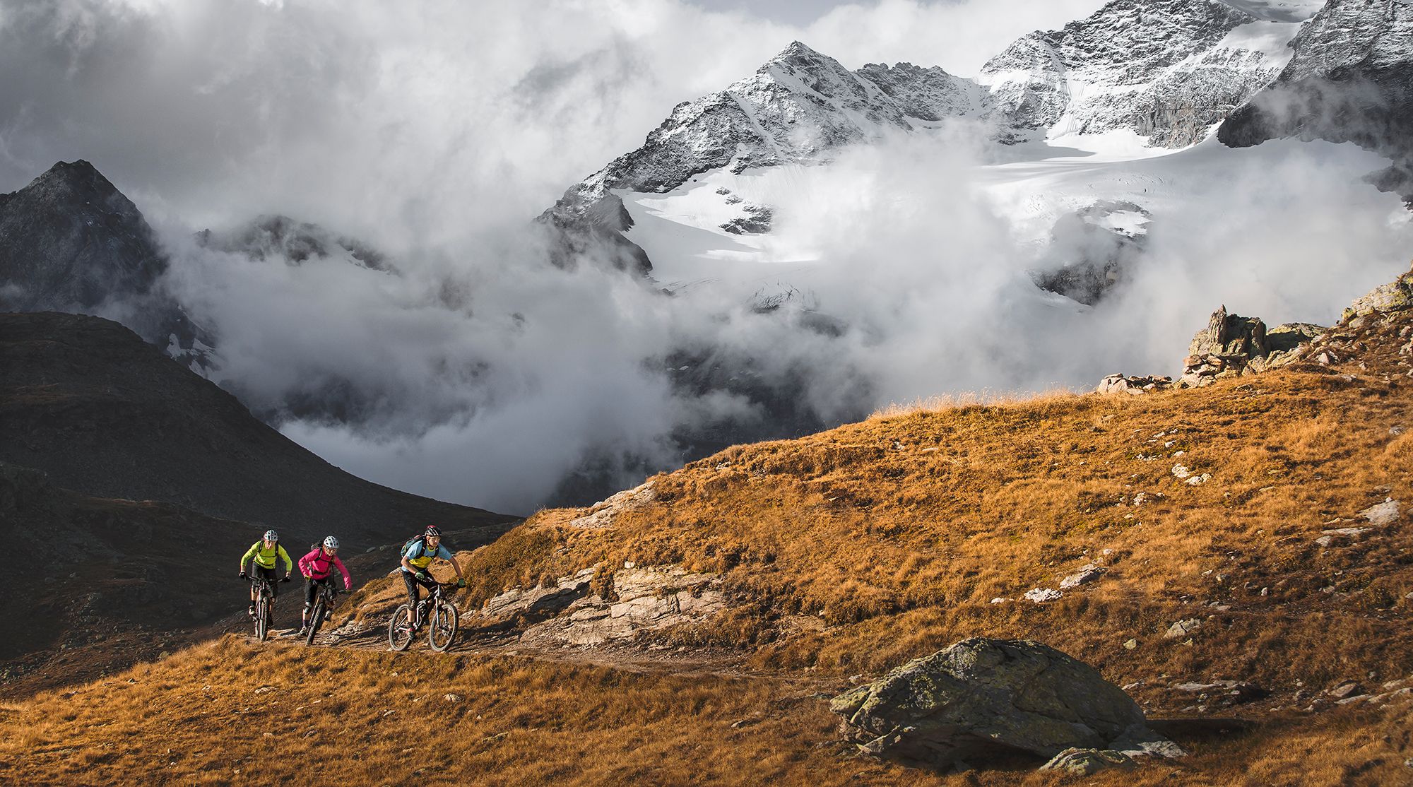
Great heights from Chur to Tirano with your mountain bike & post bus
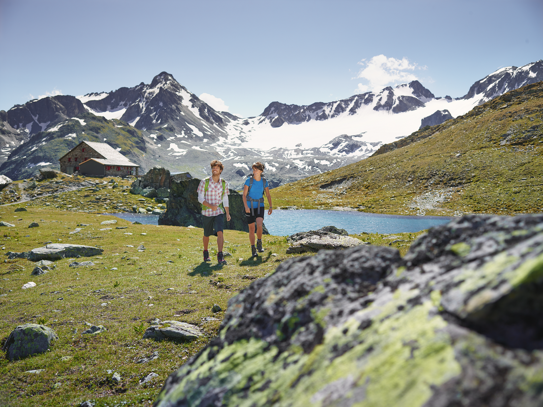
Kesch-Trek – A four-day hut adventure in Davos Klosters
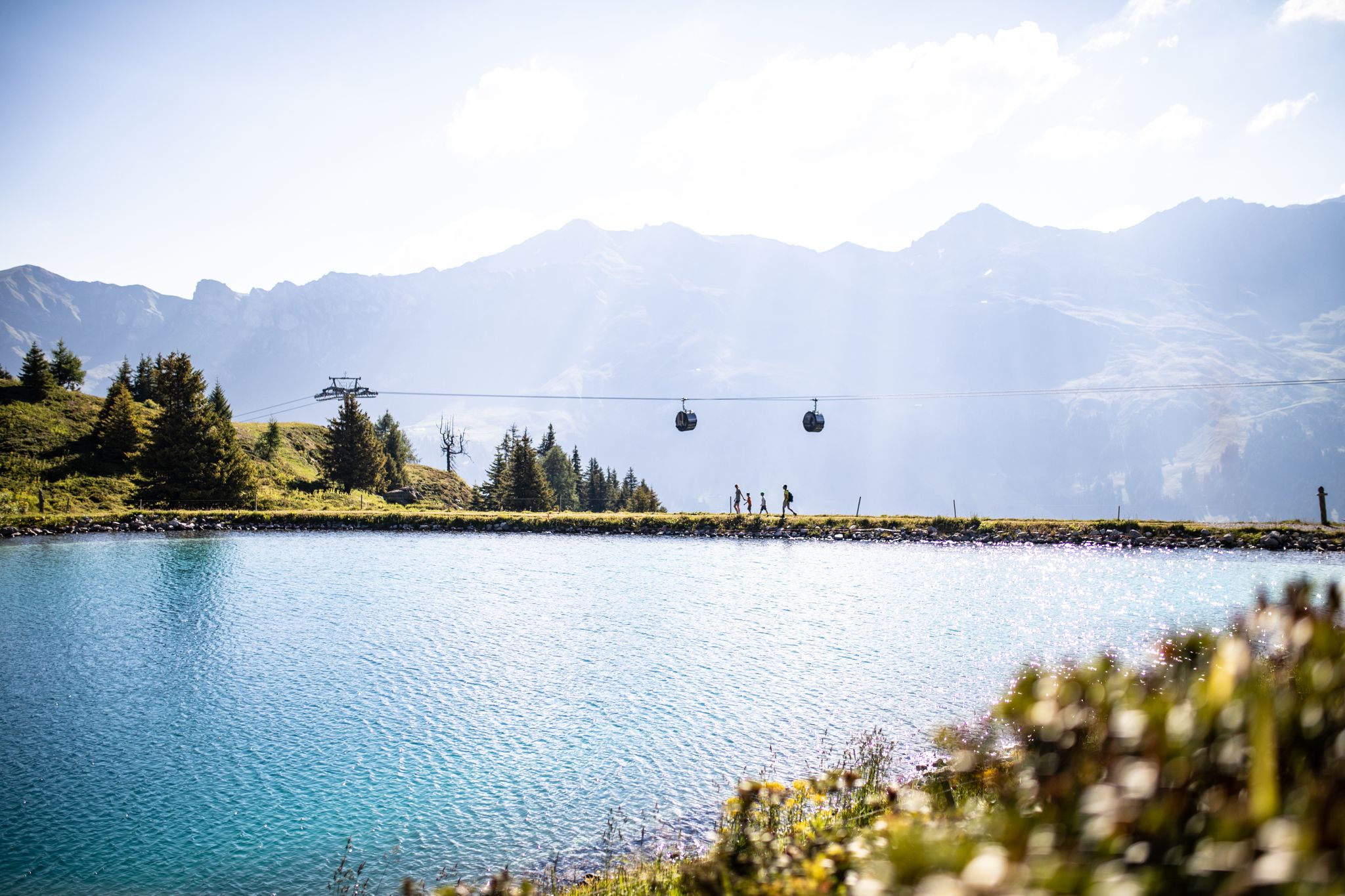
From the peaks to the cool waters – Coolcation Lenzerheide
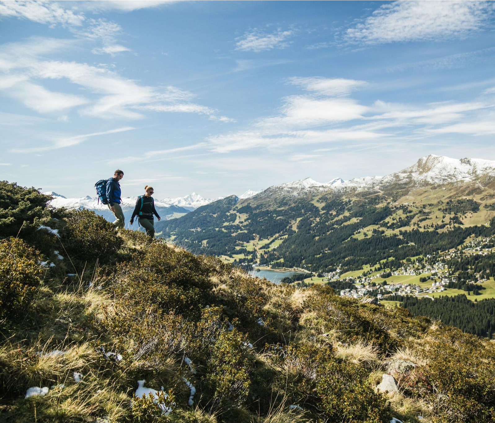
Diverse natural beauty – autumn hiking in Lenzerheide
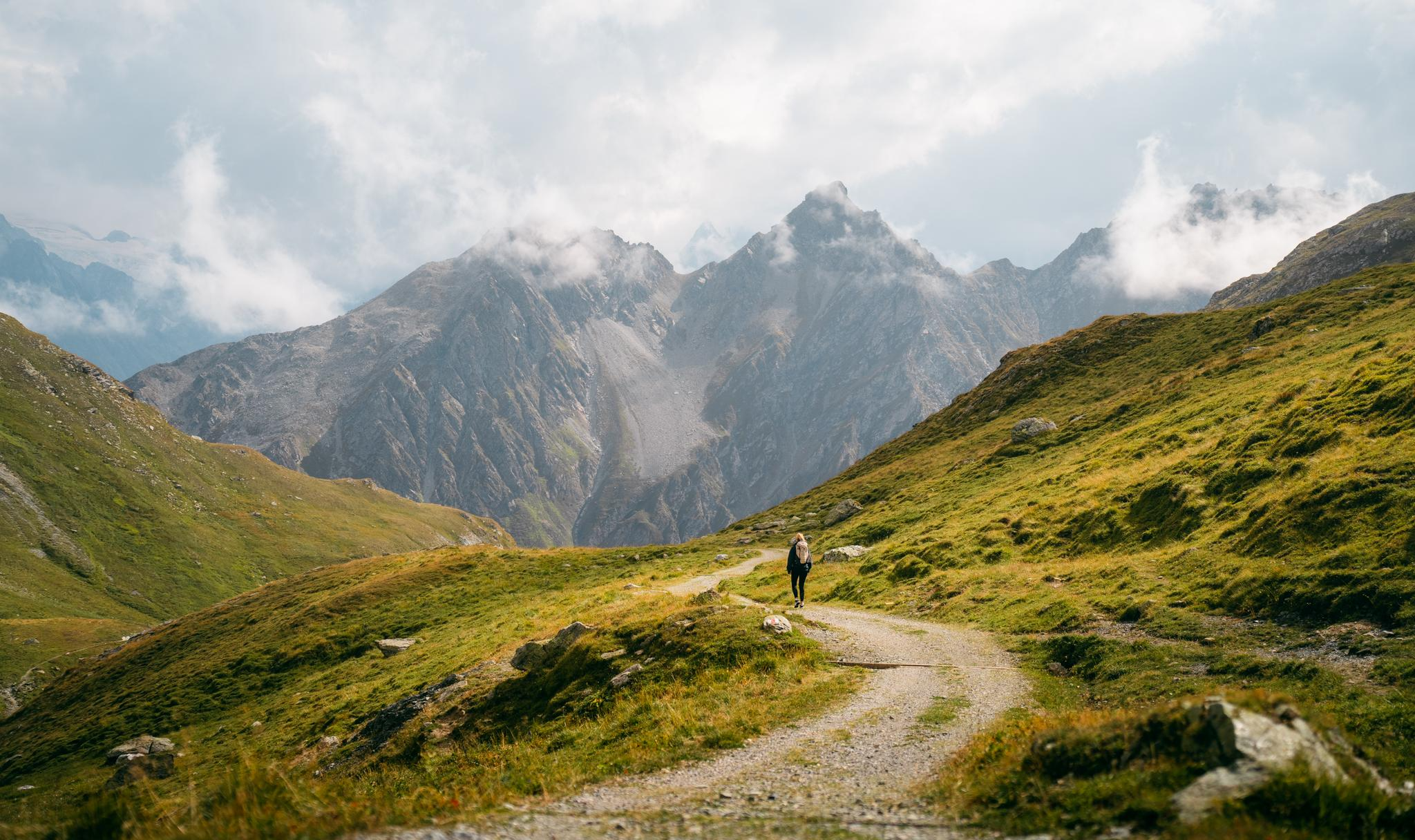
Quiet villages, proud passes, impressive history – the Via Sett
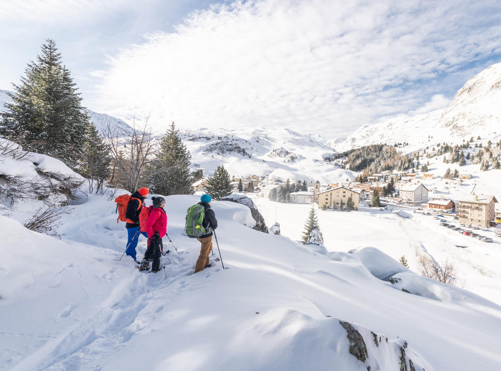
Snowshoe Safari – snowshoe trails through Graubünden
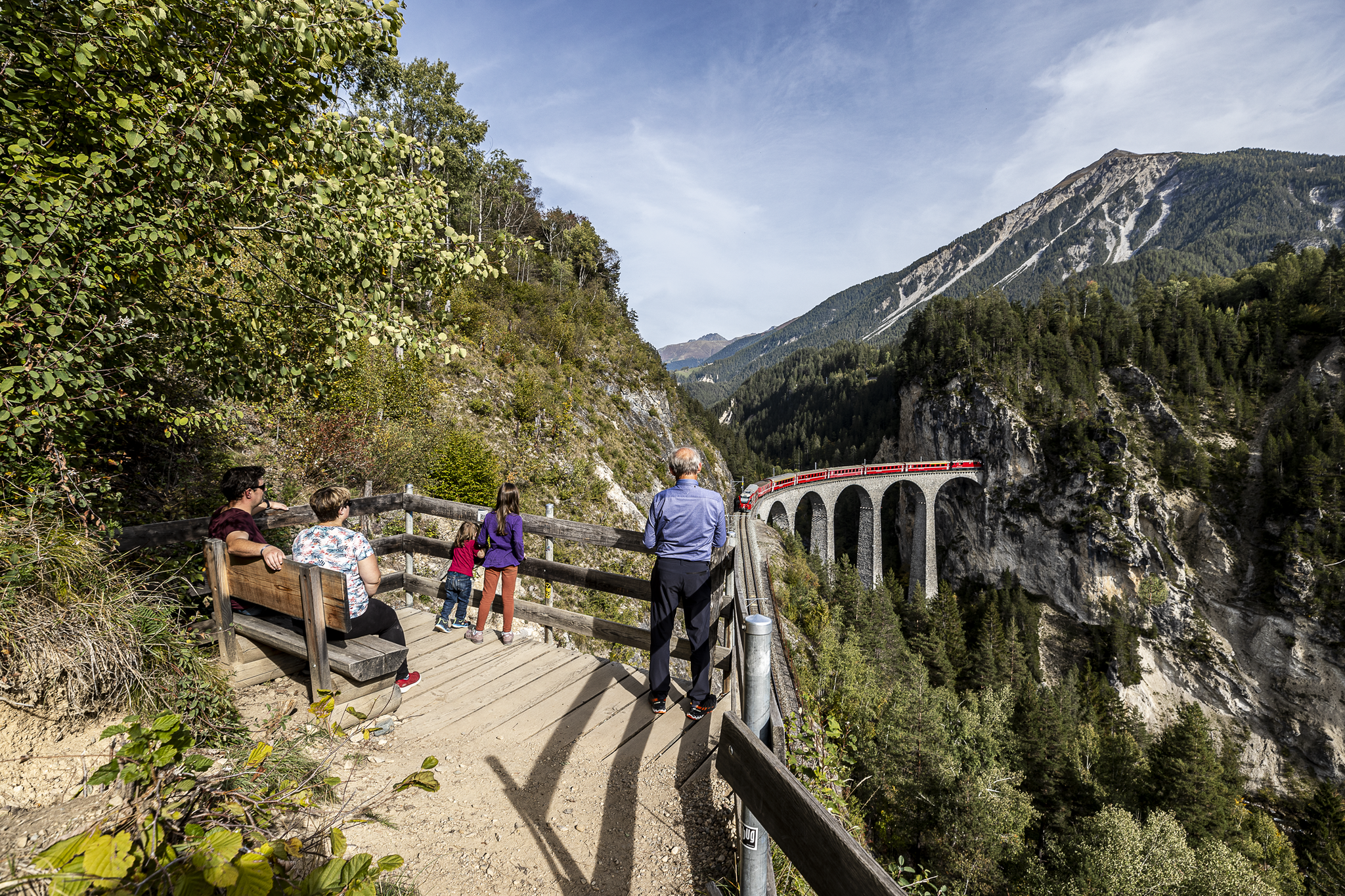
Historic railways and joyous hiking in the Landwasser World
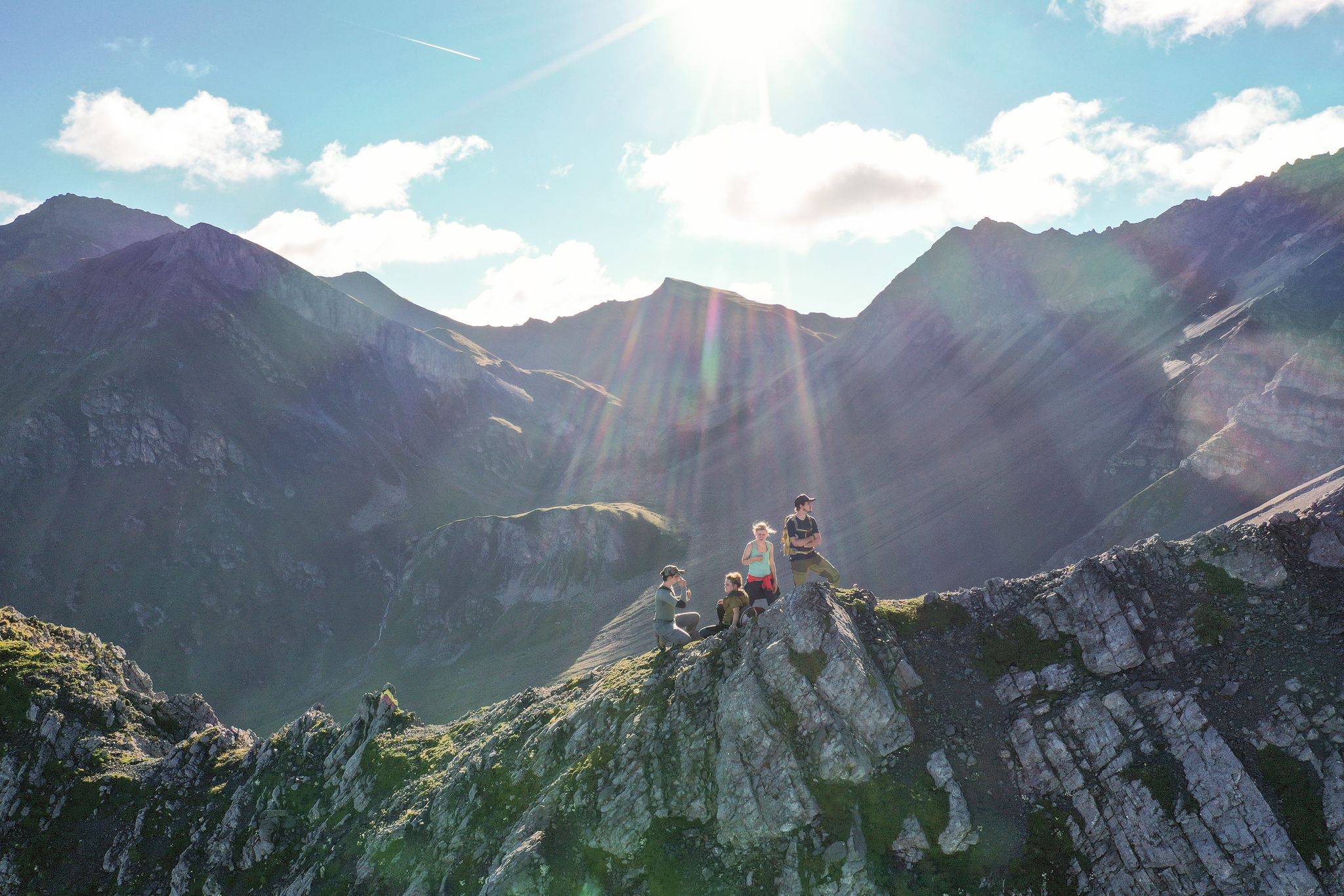
Satisfy your wanderlust in the Lenzerheide region
Parc Ela Trek – 17 days of trekking in the heart of Europe
Other adventures around Parc Ela


Tips from the Community


Bivio - Access to the Septimer and Julier Alpine Passes Bivio (German, and officially Stalla until 1902, Romansh Beiva). It lies at the foot of the Julier and Septimer Alpine Passes. Bivio is, along with Tarvisio and Luwin, the only officially Italian-speaking village north of the Alpine watershed and is considered the one in Switzerland with the greatest linguistic diversity. Bivio is located in the middle of one of Switzerland's most beautiful holiday regions: at 1,769 metres, with direct access to the Septimer and Julier Alpine Passes. Historic paths lead through the highest village in Surses – here the Romans already transported their goods. Today, holidaymakers enjoy the Alpine landscape in summer with its magnificent views, healthy climate and the play of colours of rich green and colourful flora. In addition, there are diverse opportunities for families and other guests. After all, Bivio is located in the middle of Parc Ela, Switzerland's largest nature park. This is appreciated by children eager for experiences and bike holidaymakers just as much as by all those who find relaxation on extensive hikes in the Alps. Text / Source: Graubünden Ferien, Alexanderstrasse 24, Chur https://www.graubuenden.ch/de/ausflugsziele/bivio
13
0
Bivio at 1769 m above sea level. The name Bivio means “fork in the road” and is inextricably linked with the two Roman passes, Septimer and Julier. The village of 260 inhabitants probably has the strangest linguistic situation in all of Europe, so judges a prominent scholar about Bivio, the highest village in Surses. Text / Source: Switzerland Tourism https://www.myswitzerland.com/de-ch/reiseziele/bivio/
13
0


It's always a highlight for young and old to build stone towers together along the way.
0
0

Albula Pass, a beautiful road up from Tiefencastel, with several tough sections before Bergün, and very little traffic! Full of great places to stop for a snack, the road climbs parallel to a railway line that occasionally shows itself from the road, offering great views.
1
0

The term "Chamanna digl Kesch" comes from Romansh, more specifically from the Putèr or Surmiran dialects spoken in the Graubünden region. "Chamanna digl Kesch" means "Kesch Hut" or "Kesch Hut."
1
0
Frequently Asked Questions
How many mountaineering routes are available in Parc Ela?
Parc Ela offers a diverse network of over 50 dedicated mountaineering routes. These range from moderate to difficult, providing options for various skill levels to explore Switzerland's largest nature park.
What kind of terrain should I expect on mountaineering routes in Parc Ela?
Mountaineering in Parc Ela means navigating rugged mountain terrain, characterized by rock, scree, and high meadows. You'll encounter steep mountain summits, high-alpine environments, and picturesque mountain lakes. Many routes demand sturdy footwear, surefootedness, and a head for heights.
Are there any circular mountaineering routes in Parc Ela?
Yes, Parc Ela features several circular routes. For example, the Igl Compass Summit – Pass d'Alvra loop from Preda is a challenging 16.3 km circular trail, and the Kesch Hut (SAC) – Lai da Ravais-ch Sur loop from Chants offers a 16.0 km loop through high-alpine landscapes.
What are some notable natural features or landmarks I might see on a mountaineering tour?
Parc Ela is rich in natural beauty. You might encounter stunning alpine lakes like Lai da Palpuogna or the Lais da Flix (Flix Lakes). The region also features impressive mountain passes such as the Julier Pass, offering historical and scenic interest.
Are there any waterfalls along the mountaineering routes in Parc Ela?
While the primary focus of mountaineering routes is often high-alpine terrain, the broader Parc Ela region is home to beautiful waterfalls. You can find impressive cascades like the Schaftobel Waterfall and the Brückentobelbach waterfalls at Bärentritt, often accessible via nearby trails or as points of interest.
What do other mountaineers enjoy most about Parc Ela?
The komoot community highly rates mountaineering in Parc Ela, with an average score of 5.0 stars from over 40 reviews. Mountaineers frequently praise the region for its 'genuine feeling of the wild' and 'big alpine views without the crowds,' offering a truly authentic mountain adventure away from more commercialized areas.
Are there any easier mountaineering routes for beginners in Parc Ela?
While many routes in Parc Ela are classified as difficult, there are also moderate options available. For instance, the Igl Compass Summit – Hospice at the Albula Pass loop from Piz Üertsch is a challenging but shorter route that could be a good introduction to the region's terrain for those with some experience.
What is the best time of year for mountaineering in Parc Ela?
The best time for mountaineering in Parc Ela is typically during the warmer months, from late spring to early autumn (June to September), when trails are generally free of snow and weather conditions are more stable. Always check local weather forecasts and trail conditions before heading out, as high-alpine environments can change rapidly.
Is public transport available to reach the trailheads in Parc Ela?
Yes, public transport is often a viable option for reaching various points within Parc Ela. The region is well-connected by local bus services, which can take you to villages like Preda or Bivio, serving as starting points for routes such as the Stallerberg loop from Bivio. It's advisable to check specific timetables for your chosen trailhead.
Are there opportunities for advanced mountaineers seeking a significant challenge?
Absolutely. Parc Ela is known for its 'serious mountain country' and 'long, honest trails.' Peaks like Piz Kesch, the highest point at 3418 meters, offer significant challenges. Routes such as the Igl Compass Summit – Lai da Palpuogna loop from Albulapass involve substantial elevation gain and are designed for experienced mountaineers.
Can I find places to eat or stay near the mountaineering routes?
Yes, the Parc Ela region integrates intact Romanesque villages and offers various amenities. You'll find cafes, restaurants, and accommodation options in villages like Preda and Bivio, which are often starting points or accessible from mountaineering routes. These provide convenient spots to refuel and rest.
What kind of wildlife might I encounter while mountaineering in Parc Ela?
Parc Ela is home to classic alpine animals. While mountaineering, you might have the chance to observe ibex, chamois, marmots, and various raptors in their natural high-alpine habitat. Maintaining a respectful distance and observing quietly will enhance your chances of a sighting.
Most popular routes around Parc Ela
Most popular attractions around Parc Ela

Get inspired with the komoot mobile app


Explore more
Browse the best Mountain Hikes & Routes in other regions.
