The best hikes from bus stations around Harzer Bachtäler
4.6
(8182)
28,449
hikers
29
hikes
Bus station hiking trails around Harzer Bachtäler traverse a landscape characterized by forested hills, deep stream valleys, and open meadows. The region features a network of paths that follow the course of various streams, offering varied terrain for hikers. Elevations are generally moderate, with gentle ascents and descents through the wooded areas.
Best bus station hiking trails around Harzer Bachtäler
- The most popular bus station hiking route is Sorge Border Museum – Mountain Meadows Hohegeiß loop from Sorge, a…
Last updated: June 28, 2026
4.5
(21)
89
hikers
8.10km
02:41
390m
390m
Moderate hike. Good fitness required. Easily-accessible paths. Suitable for all skill levels.
4.7
(145)
425
hikers
4.92km
01:20
70m
70m
Easy hike. Great for any fitness level. Easily-accessible paths. Suitable for all skill levels.

Sign up for free
4.7
(15)
39
hikers
9.45km
02:38
190m
190m
Moderate hike. Good fitness required. Easily-accessible paths. Suitable for all skill levels.
4.8
(19)
48
hikers
9.99km
02:45
160m
160m
Moderate hike. Good fitness required. Mostly accessible paths. Sure-footedness required.
4.5
(6)
27
hikers
7.64km
02:15
220m
220m
Moderate hike. Good fitness required. Easily-accessible paths. Suitable for all skill levels.
Get access to more routes and recommendations from other explorers.
Sign up for free
Already have an account?
Our route recommendations are based on thousands of hikes, rides, and runs completed by other people on komoot.
Start today with a free account
Your next adventure awaits.
Login or Signup
Popular around Harzer Bachtäler


Tips from the Community

You can also see the Brocken. Great bench.
0
0

very demanding with the bike. if possible, do not ride
0
0

What a beautifully carved wooden bench, it is located on the Harzer Höhenvieh trail. Just sit on the bench and enjoy the view, have fun ;-)
0
0

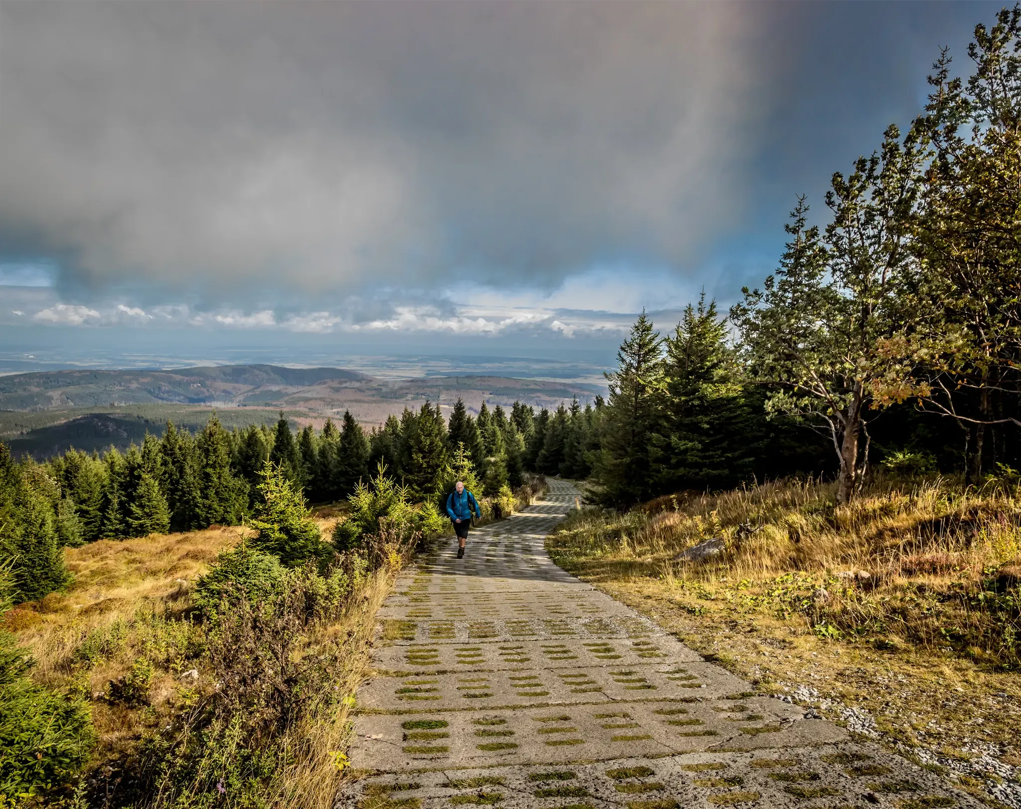
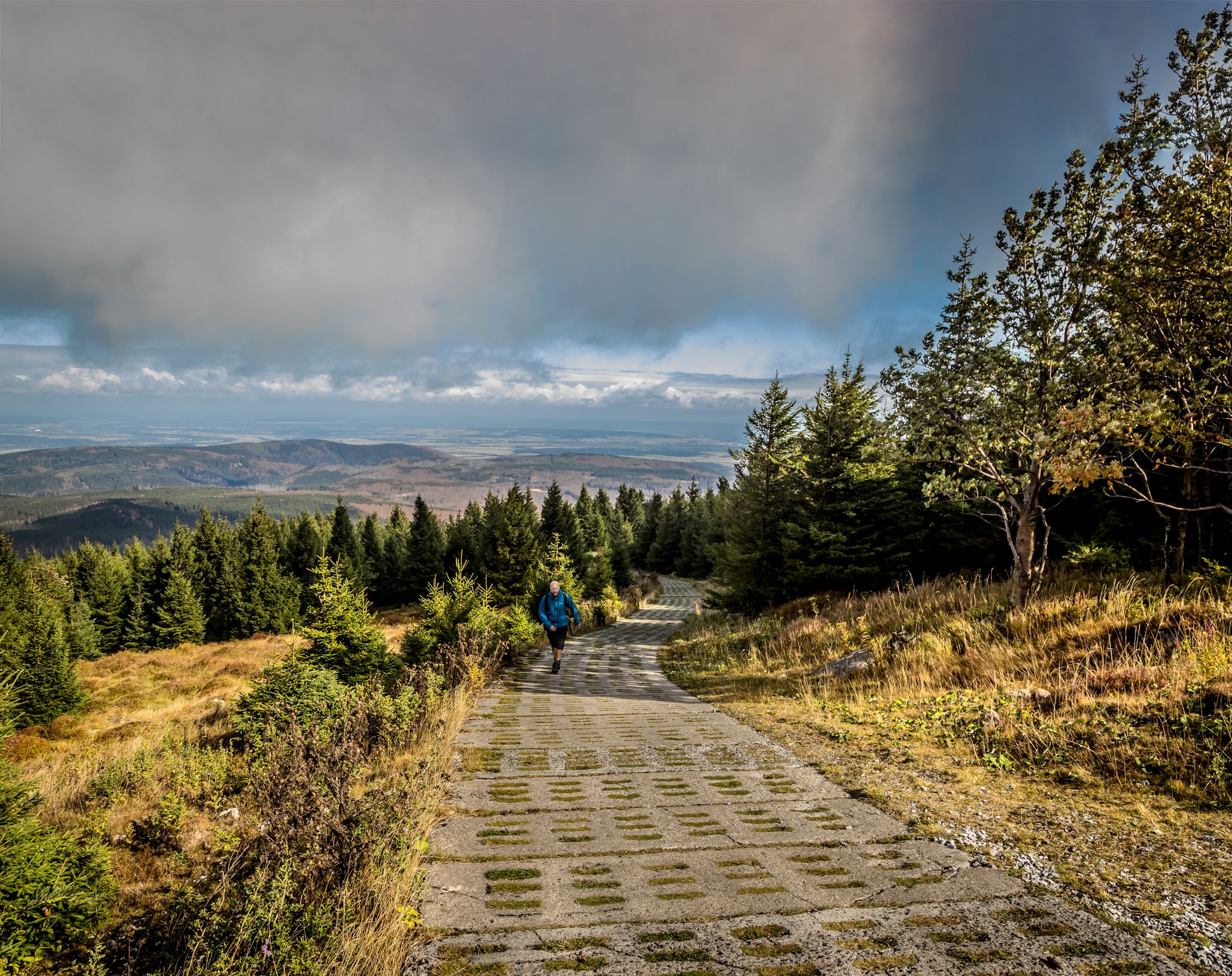
Very steep but special path upwards towards the Wurmberg. You climb quickly and also quickly enjoy particularly beautiful views over the rest of the Harz.
3
0

The short ascent to Kapitelsberg is nevertheless not without its challenges.
1
0

Going uphill, the path feels increasingly steep
1
0

The tower offers an impressive view, and the service is also excellent.
3
0

beautiful view
1
0
Frequently Asked Questions
How many bus-accessible hiking trails are available in the Harzer Bachtäler region?
There are 29 hiking trails in the Harzer Bachtäler region that are easily accessible by bus. These routes offer a variety of experiences, from easy strolls to more challenging treks.
Are there easy hiking routes from bus stations suitable for beginners or families?
Yes, the Harzer Bachtäler offers 10 easy routes accessible by bus, perfect for beginners or families. An excellent option is the Sorge Border Museum – Sorge Border Museum loop from Sorge, which is just under 5 km long and features minimal elevation gain.
What kind of natural attractions can I expect to see along bus-accessible trails?
Many trails lead through the scenic Harzer Bachtäler nature reserve. You can explore areas like the Valley trail in the Harzer Bachtäler nature reserve, offering glimpses of the region's unique flora and fauna. The area is characterized by its charming stream valleys and dense forests.
Are there any historical landmarks or points of interest near the bus station trails?
Absolutely. The region is rich in history, particularly related to the former inner-German border. You can visit the Border Museum Sorge or walk along sections of the Kolonnenweg (Green Belt) – Former Border Patrol Road. The Harzer Wandernadel Stamp 18 – Grenzweg (Border Trail) at Kaffeehorst is also a popular stop for hikers.
Are the bus-accessible hiking trails in Harzer Bachtäler suitable for dogs?
The Harzer Bachtäler region is generally very dog-friendly, with many trails winding through forests and open landscapes. Always keep your dog on a leash, especially in nature reserves and near wildlife. Most bus services in the Harz allow dogs, often for a small fee, but it's always best to check with the specific bus operator beforehand.
What is the best time of year to hike these bus-accessible trails?
The Harzer Bachtäler is beautiful year-round. Spring brings blooming wildflowers, summer offers lush green forests, and autumn transforms the landscape with vibrant colors. Even in winter, with appropriate gear, some trails are accessible, offering a serene, snow-covered experience. Always check local weather conditions before heading out.
Are there any circular routes that start and end at a bus stop?
Yes, many routes are designed as circular walks for convenience. For example, the Sorge Border Museum – Mountain Meadows Hohegeiß loop from Sorge is a moderate 15.6 km circular hike that begins and ends near a bus stop in Sorge.
What do other hikers enjoy most about the bus-accessible trails in Harzer Bachtäler?
The trails in Harzer Bachtäler are highly rated by the komoot community, with an average score of 4.6 out of 5 stars. Hikers frequently praise the well-maintained paths, the peaceful forest atmosphere, and the historical insights offered by the former border region. The convenience of public transport access is also a big plus for many.
Are there any longer, more challenging bus-accessible hikes?
For those seeking a longer challenge, the Sorge Border Museum – Sorge Border Museum loop from Tanne is a moderate 12 km route with varied terrain, starting from Tanne. There are 17 moderate and 2 difficult routes in total accessible by bus for more experienced hikers.
Can I find refreshments or places to rest along the bus-accessible routes?
While many routes traverse natural areas, you'll often find small towns or villages near bus stops that offer cafes, restaurants, or guesthouses. Some trails also pass by huts, such as the Charcoal Burner's Hut Sorge, where you might find a place to rest or enjoy a packed lunch.
Are there any trails that offer good viewpoints or panoramic vistas?
Many trails in the Harz mountains offer stunning views. The View of Wurmberg – Wurmberg Summit loop from Braunlage, for instance, provides excellent vistas, including towards the Wurmberg summit, the highest peak in Lower Saxony. Look for routes that ascend to higher elevations for the best panoramic experiences.
Most popular routes around Harzer Bachtäler
Most popular attractions around Harzer Bachtäler

Get inspired with the komoot mobile app


Explore more
Browse the best Hikes in other regions.
