Easy hikes and walks around Harzer Bachtäler
4.6
(9356)
30,427
hikers
56
hikes
Easy hiking trails around Harzer Bachtäler traverse a nature reserve within the Harz Mountains, characterized by diverse natural landscapes and a network of stream valleys. The region features widely branched, near-natural flowing water systems, including the Warme Bode and Rappbode, flanked by various forest types such as alder, spruce, and riparian forests. Altitudes range from approximately 450 to 750 meters, encompassing steep V-shaped valleys, flatter trough valleys, and moist mountain meadows.
Best easy hiking trails around Harzer Bachtäler
- The most…
Last updated: October 4, 2026
4.7
(161)
525
hikers
4.27km
01:30
240m
240m
Easy hike. Great for any fitness level. Easily-accessible paths. Suitable for all skill levels.
5.0
(4)
30
hikers
Easy hike. Great for any fitness level. Easily-accessible paths. Suitable for all skill levels.

4.7
(44)
182
hikers
3.18km
01:05
170m
170m
Easy hike. Great for any fitness level. Easily-accessible paths. Suitable for all skill levels.
4.6
(154)
424
hikers
4.92km
01:20
70m
70m
Easy hike. Great for any fitness level. Easily-accessible paths. Suitable for all skill levels.
4.8
(15)
65
hikers
7.13km
01:59
140m
140m
Easy hike. Great for any fitness level. Easily-accessible paths. Suitable for all skill levels.
Get access to more routes and recommendations from other explorers.
Already have an account?
Our route recommendations are based on thousands of hikes, rides, and runs completed by other people on komoot.
Start today with a free account
Your next adventure awaits.
Popular around Harzer Bachtäler


Tips from the Community

Highly recommended for children, you can climb wonderfully
0
0

Unfortunately, the HWN special stamp Jägermeister is no longer available here. Due to constant vandalism, it was removed. According to the internet, you can apparently pick it up in Wernigerode.
0
0

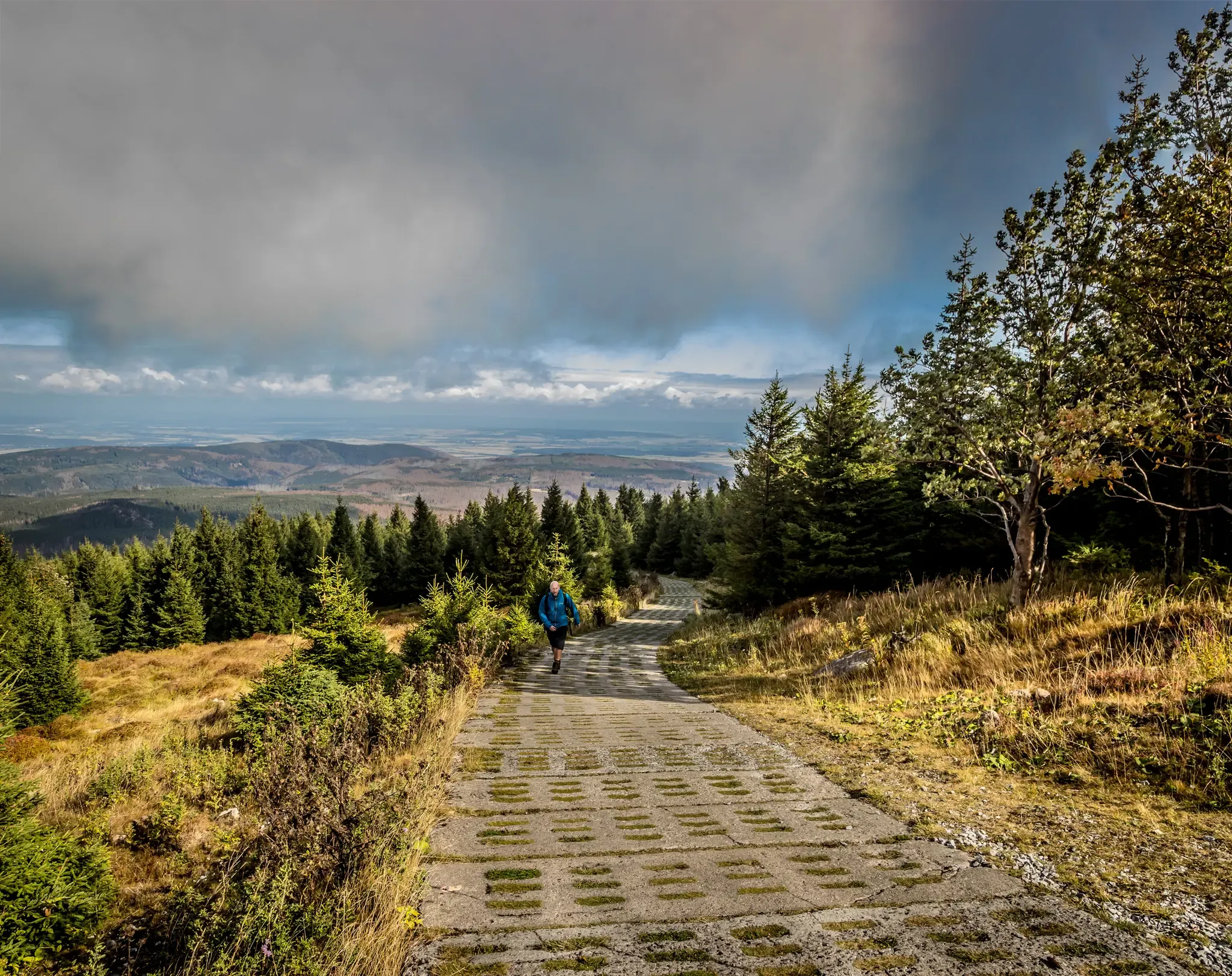
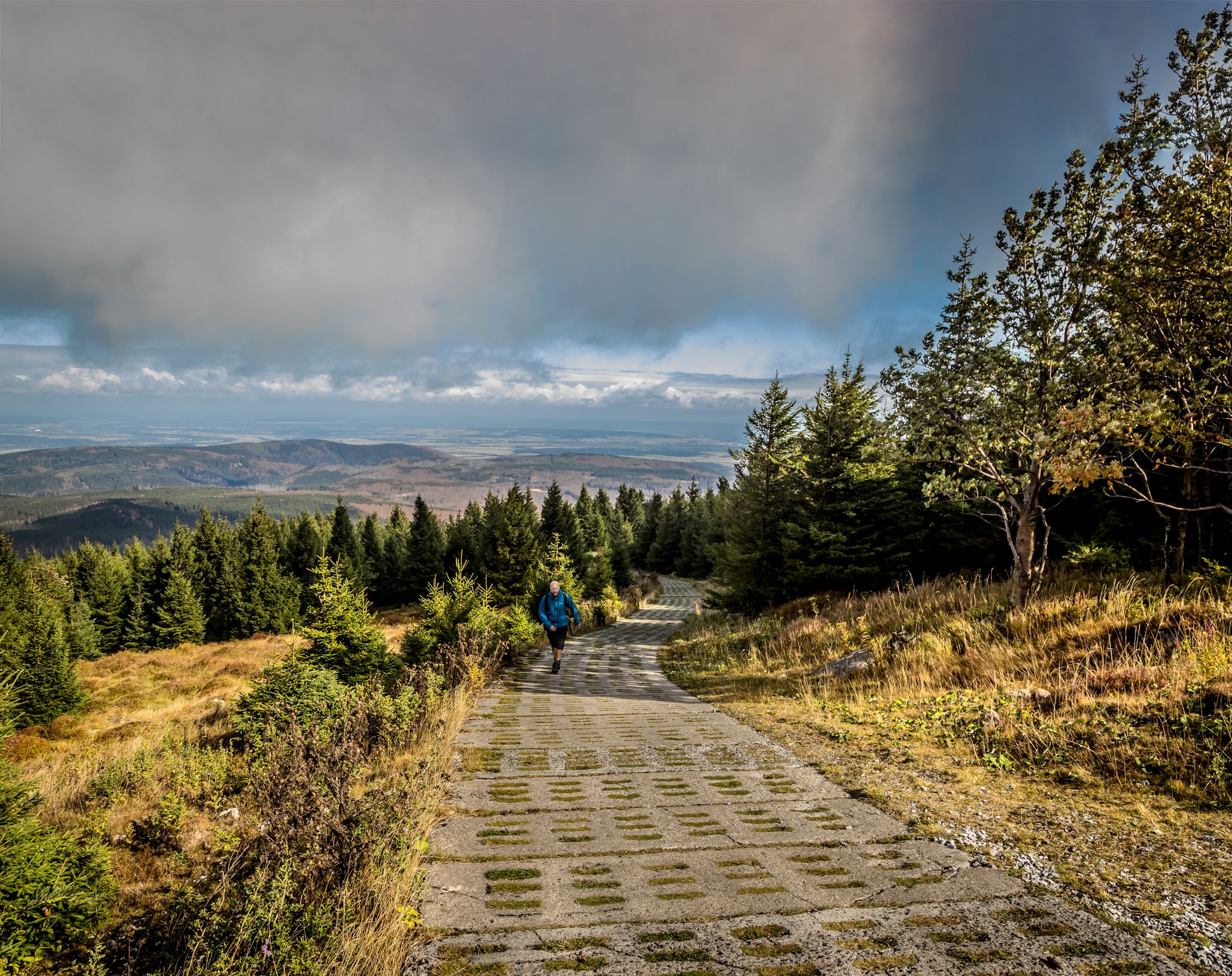
Very steep but special path upwards towards the Wurmberg. You climb quickly and also quickly enjoy particularly beautiful views over the rest of the Harz.
3
0

You should be in good shape!
0
0

Going uphill, the path feels increasingly steep
2
0

One thing is clear: the view here is truly beautiful.
1
0

The tower offers an impressive view, and the service is also excellent.
3
0

Mouse cliffs can be easily climbed.
0
0
Frequently Asked Questions
How many easy hiking trails are available in Harzer Bachtäler?
The Harzer Bachtäler region offers a wide selection of hiking opportunities, with over 60 routes in total. Among these, 29 are specifically categorized as easy, making them suitable for leisurely strolls and shorter excursions.
What kind of natural features can I expect to see on easy hikes in Harzer Bachtäler?
Easy hikes in Harzer Bachtäler will immerse you in a landscape defined by extensive, near-natural stream systems like the Warme Bode and Rappbode. You'll encounter diverse forest types, including alder and spruce, as well as rich mountain meadows. The area is also known for its important spring areas and moors, contributing to its unique biodiversity.
Are there any family-friendly easy hikes in Harzer Bachtäler?
Yes, many of the easy trails in Harzer Bachtäler are ideal for families. The gentle terrain and well-maintained paths make them suitable for all ages. For example, the Crossings of the Warm Bode River – Warm Bode Stream loop from Harzer Bachtäler is a short, easy route that follows the dynamic stream valleys, perfect for a family outing.
Can I bring my dog on the easy hiking trails in Harzer Bachtäler?
Generally, dogs are welcome on the hiking trails in Harzer Bachtäler. However, it's always recommended to keep your dog on a leash, especially in nature reserve areas, to protect local wildlife and ensure a pleasant experience for all hikers. Always check local signage for any specific restrictions.
Are there any circular easy walks in Harzer Bachtäler?
Yes, Harzer Bachtäler features several enjoyable circular routes that are categorized as easy. A popular option is the Sorge Border Museum – Sorge Border Museum loop from Harzer Bachtäler, which offers a pleasant 4.1 km walk with historical insights.
What are some interesting landmarks or attractions near the easy hiking trails?
Along and near the easy trails, you can discover several points of interest. The Border Museum Sorge provides historical context, while the German-German Border Monument Brehmke marks a significant historical site. You might also encounter a Harzer Wandernadel Stamp 18, part of the popular hiking badge system.
What do other hikers enjoy most about the easy trails in Harzer Bachtäler?
The easy trails in Harzer Bachtäler are highly rated by the komoot community, with an average score of 4.6 stars from over 8,900 reviews. Hikers often praise the tranquil beauty of the stream valleys, the diverse forest scenery, and the well-maintained paths that make for a relaxing and accessible outdoor experience.
Is there parking available for easy hikes in Harzer Bachtäler?
Yes, parking is generally available at various starting points for hikes in and around Harzer Bachtäler. For instance, the Ring of Remembrance Parking Area is one such location that provides convenient access to trails.
Are there any easy trails that offer good viewpoints?
While the Harzer Bachtäler is primarily known for its valley landscapes, some easy trails offer glimpses of wider views. The Wurmberg Summit – View from Wurmberg loop from Kramershai, for example, provides views from the vicinity of Wurmberg, the highest peak in Lower Saxony, on an easy 5.3 km path.
What is the best time of year for easy hiking in Harzer Bachtäler?
Harzer Bachtäler is beautiful year-round, but spring and autumn are particularly popular for easy hiking. In spring, the meadows burst with wildflowers like Arnika and Globe-flower, while autumn offers stunning foliage. Summer provides lush greenery, and even winter can be magical for a crisp walk, though some paths might be icy or snowy.
Are there any easy trails that follow the Bremke stream?
Yes, the Bremke is one of the numerous tributaries that define the Harzer Bachtäler. You can explore its beauty on routes like the Wooden Bridge Over the Bremke – View of Schierke loop from Kramershai, an easy 3.1 km trail that allows you to experience this dynamic stream valley.
Are there any easy trails with historical significance?
Absolutely. The Harzer Bachtäler region, particularly near the former inner-German border, offers trails with historical context. The Sorge Border Museum – Sorge Border Museum loop from Harzer Bachtäler is an excellent example, providing insights into the region's past near the former border.
Most popular routes around Harzer Bachtäler
Most popular attractions around Harzer Bachtäler

Get inspired with the komoot mobile app


Explore more
Browse the best Hikes in other regions.
