The best mountain hikes around Harzer Bachtäler
4.9
(90)
350
hikers
45
hikes
Mountaineering routes around Harzer Bachtäler traverse a region characterized by rugged natural features and diverse landscapes within the broader Harz Mountains. The terrain includes deep river valleys, such as the legendary Bode Valley with its impressive rock formations, and significant elevation changes leading to forestless hilltops. Deciduous and coniferous forests, wild rivers, and mountain meadows define the varied ecosystems, offering challenging ascents and descents.
Best mountaineering routes around Harzer Bachtäler
- The most popular mountaineering route is Wurmberg Summit – Große…
Last updated: September 29, 2026
5.0
(1)
4
hikers
4.66km
01:36
250m
250m
Easy mountaineering route. Great for any fitness level. Easily-accessible paths. Suitable for all skill levels.
3
hikers
Easy mountaineering route. Great for any fitness level. Easily-accessible paths. Suitable for all skill levels.

4.9
(23)
87
hikers
12.7km
04:10
530m
530m
Moderate mountaineering route. Good fitness required. Mostly accessible paths. Sure-footedness required.
4.9
(7)
28
hikers
16.6km
05:04
520m
520m
Hard mountaineering route. Very good fitness required. Mostly accessible paths. Sure-footedness required.
5.0
(2)
4
hikers
14.9km
04:53
530m
530m
Hard mountaineering route. Good fitness required. Sure-footedness, sturdy shoes and alpine experience required.
Get access to more routes and recommendations from other explorers.
Already have an account?
Our route recommendations are based on thousands of hikes, rides, and runs completed by other people on komoot.
Start today with a free account
Your next adventure awaits.
Popular around Harzer Bachtäler
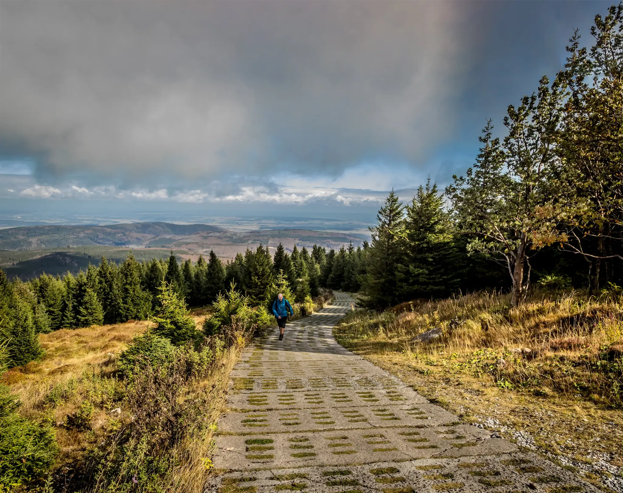
Reunited mountains – hiking along the Harz Border Trail
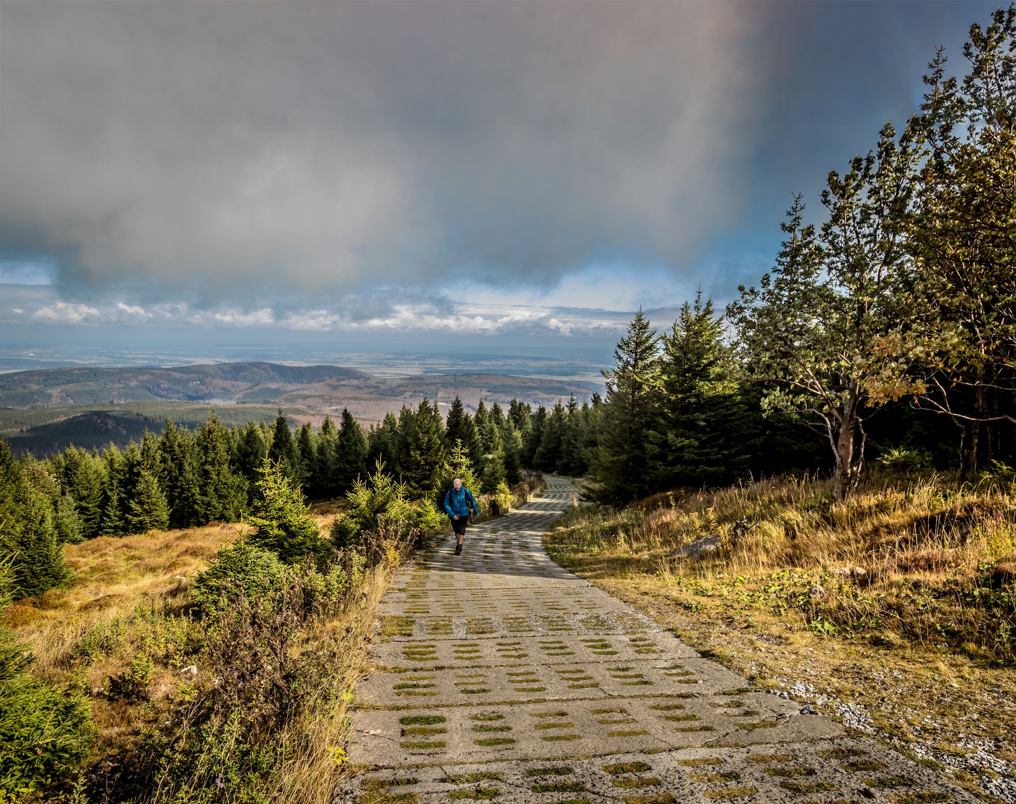
Reunited mountains – hiking along the Harz Border Trail
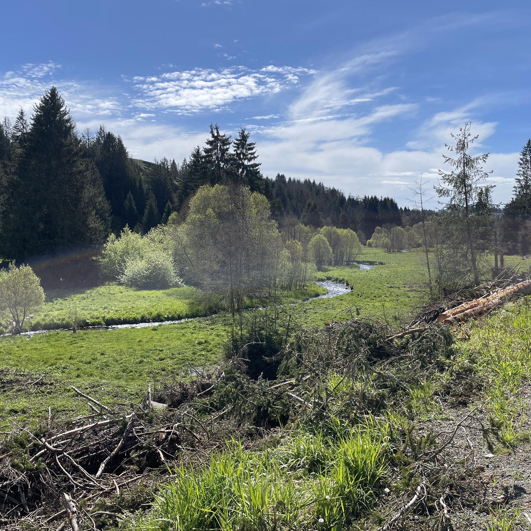
Hiking around Harzer Bachtäler
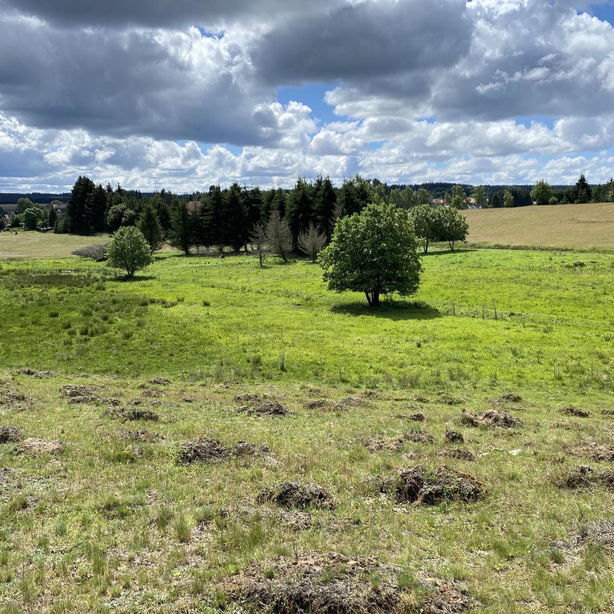
MTB Trails around Harzer Bachtäler
Road Cycling Routes around Harzer Bachtäler
Gravel biking around Harzer Bachtäler
Running Trails around Harzer Bachtäler
Cycling around Harzer Bachtäler


Tips from the Community

If you want it to be more strenuous, you can also use the adjacent serpentine path.
0
0

😎The artificially dammed pond originally served as a water reservoir for the first plant on site – the peat processing plant. The impounded water of the young Wormke was used to wash the excavated peat for further processing and supplied the necessary water power for the workflows. Later, the glassworks also used this water supply.
0
0


The tower offers an impressive view, and the service is also excellent.
3
0
There's no longer a ski lift here on the Wurmberg, but the judge's house is still there. 🤔 #Wurmberg #Skilift #Judge's House #Memories #Winter
0
0

Braunlage Wurmberg mountain station
0
0

The Trudenstein is worth a trip and is rewarded with great views when the weather is nice.
15
0
Frequently Asked Questions
How many mountaineering routes are available in Harzer Bachtäler?
There are nearly 50 mountaineering routes available in the Harzer Bachtäler region. These routes offer a diverse range of experiences, from easier ascents to more demanding trails, catering to various skill levels.
What makes mountaineering in Harzer Bachtäler unique?
Mountaineering in Harzer Bachtäler is unique due to its rugged natural features, including deep river valleys like the legendary Bode Valley with its impressive rock formations, and significant elevation changes. The region boasts a remarkable variety of landscapes, from deciduous and coniferous forests to wild rivers and mountain meadows, all within a relatively small area, providing challenging ascents and descents.
Are there options for beginners or less experienced mountaineers?
Yes, the Harzer Bachtäler region offers several routes suitable for beginners. For instance, the Wurmberg Summit – Große Wurmbergschanze Stairs loop from Kramershai is an easy 4.5 km trail offering views towards the Wurmberg summit. Another accessible option is the Braunlage Bike Park on the Wurmberg – Wurmberg Summit loop from Kramershai, which is 4.6 km and ascends through forested areas to panoramic vistas.
Can I find challenging mountaineering routes in the Harzer Bachtäler region?
Absolutely. The Harzer Bachtäler region features 18 difficult mountaineering routes for those seeking a greater challenge. Trails like the Eckerlochsteig Trail – Brocken Railway Station loop from Schierke, spanning over 16 km, offer significant elevation changes and demanding terrain. The Bode Valley itself is known for its 'not entirely harmless hiking adventure,' requiring caution and sure-footedness on steep, root-rich paths.
What is the best time of year for mountaineering in Harzer Bachtäler?
The Harzer Bachtäler region is suitable for outdoor activities year-round. While summer offers ideal conditions for hiking and mountaineering, the region is also equipped for winter pursuits like winter hiking and snowshoeing, allowing for exploration of its mountainous terrain in a different light. Always check local weather conditions before heading out.
Are there any interesting landmarks or viewpoints to discover along the routes?
Yes, the region is rich in landmarks and viewpoints. You can explore the Harzer Wandernadel Stamp 18 – Grenzweg (Border Trail) at Kaffeehorst, or visit the German-German Border Monument Brehmke. The Bode Valley offers iconic viewpoints such as Hexentanzplatz and Rosstrappe, providing expansive panoramas. The Wolfswarte also offers breathtaking views, including a full view of the Brocken, the highest peak in Northern Germany.
What natural features can I expect to see while mountaineering here?
You'll encounter a diverse range of natural features, including the dramatic rock formations of the Bode Valley, dense deciduous and coniferous forests, wild rivers, and gentle mountain meadows. The region is known for its varied ecosystems and significant elevation changes. You might also come across unique geological formations like the Devil's Wall, with its notable 'Grandfather Rock'.
What do other mountaineers enjoy most about the routes in Harzer Bachtäler?
The routes in Harzer Bachtäler are highly rated by the komoot community, with an average score of 5.0 stars from over 80 reviews. Mountaineers often praise the varied terrain, from deep river valleys to impressive rock formations, and the challenging ascents and descents that define the region's unique mountaineering experience.
Are there any circular mountaineering routes available?
Many routes in Harzer Bachtäler are designed as loops, offering a convenient way to experience the landscape. Examples include the easy Wurmberg Summit – Große Wurmbergschanze Stairs loop from Kramershai and the more challenging Eckerlochstieg Trail – Brocken Railway Station loop from Schierke, which leads through varied forest and mountain terrain.
Are the mountaineering routes in Harzer Bachtäler suitable for families?
While some routes are challenging, there are easier options that families can enjoy. The region's diverse trail network includes paths with less strenuous ascents, particularly those categorized as 'easy'. Always check the route's difficulty and length to ensure it matches your family's capabilities. The varied landscapes offer plenty to keep younger adventurers engaged.
Can I bring my dog on the mountaineering trails?
Generally, the Harz Mountains are very dog-friendly, and many trails welcome well-behaved dogs. However, it's always advisable to check specific trail regulations, especially within nature reserves or national park areas, as some may require dogs to be on a leash. Ensure your dog is fit enough for the chosen route and carry enough water for both of you.
Are there places to eat or stay near the mountaineering trails?
The Harz Mountains region, including areas around Harzer Bachtäler, has numerous towns and villages that offer various accommodation options, from hotels to guesthouses, as well as cafes and pubs. Towns like Benneckenstein, Elend, and Königshütte are good starting points to find amenities after your mountaineering adventure.
Most popular routes around Harzer Bachtäler
Most popular attractions around Harzer Bachtäler

Get inspired with the komoot mobile app


Explore more
Browse the best Mountain Hikes & Routes in other regions.
