The best traffic-free bike rides in the Bitterroot Range
5.0
(1)
97
riders
11
rides
Gravel biking in the Bitterroot Range offers extensive trail systems through dramatic landscapes. The region is characterized by rugged granite peaks, deeply carved canyons, and U-shaped valleys, providing varied terrain for gravel cyclists. Vast wilderness areas feature dense forests of pine, fir, and spruce, ensuring a sense of solitude on many routes. The Bitterroot Valley itself, bordered by mountain ranges, presents a scenic contrast with its abundant waterways and diverse ecosystems.
Best no traffic gravel bike trails in the Bitterroot…
Last updated: June 28, 2026
11
riders
27.7km
02:25
470m
470m
Hard gravel ride. Very good fitness required. Mostly paved surfaces. Suitable for all skill levels.
17
riders
29.7km
01:56
340m
340m
The Kim Williams Trail – Clark Fork River loop from Hellgate High School offers a delightful gravel biking experience, tracing the scenic Clark Fork River through varied landscapes. You'll pedal…

Sign up for free
5
riders
92.6km
08:31
1,260m
1,260m
Hard gravel ride. Very good fitness required. Mostly paved surfaces. Suitable for all skill levels.
15
riders
30.8km
01:57
230m
230m
Moderate gravel ride. Good fitness required. Mostly paved surfaces. Suitable for all skill levels.
8
riders
50.3km
03:36
840m
840m
Hard gravel ride. Very good fitness required. Mostly paved surfaces. Suitable for all skill levels.
Get access to more routes and recommendations from other explorers.
Sign up for free
Already have an account?
Our route recommendations are based on thousands of hikes, rides, and runs completed by other people on komoot.
Start today with a free account
Your next adventure awaits.
Login or Signup

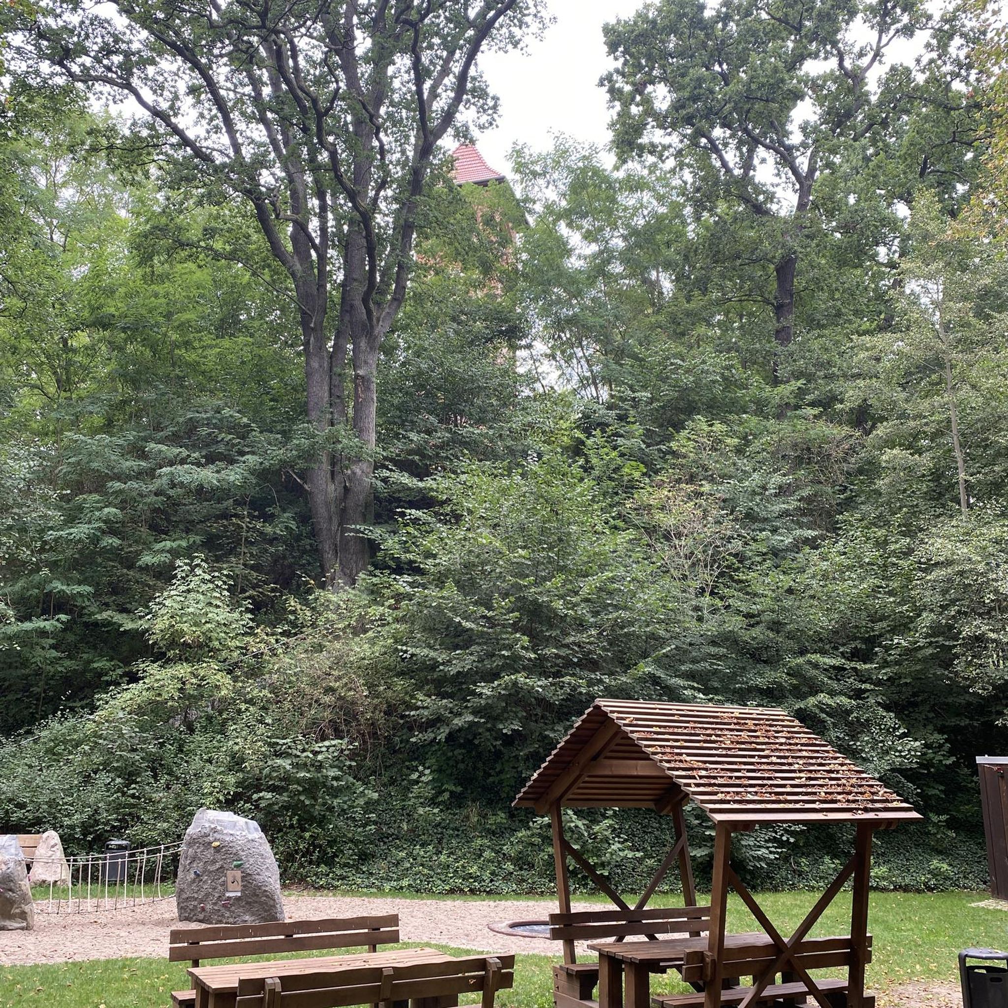

Other adventures in the Bitterroot Range

Tips from the Community

The Beartracks Bridge is a four-lane bridge over the Clark Fork River in downtown Missoula. It was constructed in 1962 and recently renovated to improve pedestrian safety. The bridge now has dedicated bike lanes and widened sidewalks.
0
0

Jacob's Island is a dog park on the banks of Clark Fork River. The park is 6-acres and the river works as a beautiful natural barrier for the dogs. It also offers a series of paved and unpaved trails, benches, picnic tables and dog-waste bags.
0
0

This small beach area, mostly a marina, provides a unique view of boats docked on the beautiful waters of Lake Coeur d'Alene, surrounded by picturesque alpine mountains.
0
0
Jacob's Island is a dog park on the banks of Clark Fork River. The park is 6 acres and the river works as a beautiful natural barrier for the dogs. It also offers a series of paved and unpaved trails, benches, picnic tables and dog-waste bags.
0
0

Nestled in the northern Rockies, the city is known as the "Garden City" for its lush surroundings as well as trout fishing. The city is home to the University of Montana, founded in 1893.
0
0
Fernan Saddle offers stunning vistas and wooded areas. Take Forest Road 268, a paved two-lane road that leads right to the saddle where you'll find the start of several trails, and this is where the pavement concludes, giving way to a gravel road.
0
0
The Idaho Panhandle National Forests, a stunning tapestry of land and water. The diverse wildlife includes elk, deer, grizzly bears, wolves, and caribou.
0
0

Coeur d'Alene Parkway State Park is along the same path as part of the North Idaho Centennial Trail. The path boasts smaller parks, overlooks, and beaches with access from the main non-motorized, paved trail. The path is super popular among walkers, runners, and cyclists.
0
0
Frequently Asked Questions
How many no-traffic gravel bike trails are available in the Bitterroot Range?
This guide features 10 carefully selected no-traffic gravel bike routes in the Bitterroot Range. These routes offer a mix of moderate and difficult challenges, ensuring a rewarding experience for various skill levels.
What kind of terrain can I expect on these no-traffic gravel bike trails?
The Bitterroot Range offers diverse terrain, from climbs through the foothills to long descents with panoramic views. You'll encounter continuous backcountry gravel roads, particularly in areas like the Rye Creek Drainage, providing 360-degree mountain and valley vistas. Expect a mix of well-maintained gravel and quiet backroads, with elevations varying from lower valleys to higher mountain passes.
Are there any family-friendly no-traffic gravel biking options in the Bitterroot Range?
While many routes in this guide are rated moderate to difficult, the Bitterroot Valley itself offers quieter sections that can be suitable for families. For a moderate option, consider the Kim Williams Trail – Jacob's Island loop from Hellgate High School, which covers 27.3 km with a manageable elevation gain. Always assess the route's difficulty and your family's experience level before heading out.
Can I bring my dog on these gravel bike trails?
Many trails in the Bitterroot Range, especially those on forest service roads or in designated recreation areas, are dog-friendly. However, regulations can vary, particularly within wilderness areas or specific parks. Always check local signage and guidelines for the specific route you plan to ride to ensure dogs are permitted and if they need to be on a leash. For example, the Clark Fork River – Rattlesnake Trail loop might offer sections suitable for well-behaved, leashed dogs.
What are some scenic highlights or landmarks I can see along these routes?
The Bitterroot Range is rich in natural beauty. Along these no-traffic gravel routes, you can expect stunning views of rugged peaks, vast forests, and abundant waterways. Specific highlights include the scenic Lake Coeur d'Alene, which you can experience on the Silver Beach Marina – View of Lake Coeur d'Alene loop. Other points of interest include Higgens Point and the Tubbs Hill Main Trail, offering picturesque vistas.
Are there any circular no-traffic gravel bike routes available?
Yes, several routes in this guide are designed as loops, allowing you to start and end at the same point without retracing your path. Examples include the challenging Ninemile Road loop from Longpre Dam, which covers over 92 km, and the more moderate Kim Williams Trail – Jacob's Island loop from Hellgate High School.
What is the best time of year for gravel biking in the Bitterroot Range?
The best time for gravel biking in the Bitterroot Range is typically from late spring through early autumn (May to October). During these months, trails are generally free of snow, and the weather is more favorable. Spring offers lush greenery and wildflowers, while autumn provides vibrant fall foliage. Always check local weather conditions and trail status before planning your ride, especially at higher elevations where snow can linger.
What should I bring for a gravel biking trip in the Bitterroot Range?
Given the varied terrain and potential for remote sections, it's essential to be prepared. We recommend carrying plenty of water, snacks, a repair kit (including spare tubes, pump, and multi-tool), navigation tools (like a fully charged phone with offline maps), appropriate layers of clothing for changing weather, sun protection, and a first-aid kit. For longer rides, consider a headlamp and extra battery packs for electronics.
Are there any easy no-traffic gravel bike routes for beginners?
While this guide primarily features moderate to difficult routes, the Clark Fork River – Rattlesnake Trail loop from Hellgate High School is a moderate option that might be suitable for beginners looking for a bit of a challenge, covering 31.3 km with a relatively lower elevation gain compared to others. It's always wise for beginners to start with shorter distances and less elevation to build confidence.
What do other gravel bikers enjoy most about these routes in the Bitterroot Range?
The komoot community highly rates the gravel biking experience in the Bitterroot Range, with an average score of 5.0 stars. Reviewers often praise the stunning natural beauty, the sense of solitude on the no-traffic routes, and the rewarding challenges offered by the diverse terrain. The opportunity to explore vast wilderness areas and enjoy panoramic mountain views is frequently highlighted.
Where can I find parking for these no-traffic gravel bike trails?
Many of the routes listed in this guide originate from accessible points like Hellgate High School or Longpre Dam, which typically offer parking facilities. For routes like the Kim Williams Trail – Deer Creek Sneak Trail loop, starting points often have designated parking areas. It's always recommended to check specific trailhead information or local regulations regarding parking before your ride.
Are there opportunities for longer bikepacking trips on no-traffic gravel roads?
The Bitterroot Range, with its extensive network of gravel roads and quiet backcountry routes, is an excellent region for bikepacking. While individual routes in this guide are day trips, the region's interconnected gravel roads, such as those mentioned in the 'Bitterroot Connector' and the 'Bitterroot 300k loop', suggest ample opportunities to link multiple routes for multi-day, no-traffic bikepacking adventures through forests and mountains.
Most popular routes in the Bitterroot Range
Most popular attractions in the Bitterroot Range

Get inspired with the komoot mobile app


Explore more
Browse the best Gravel rides in other regions.
