The best running trails in the Bitterroot Range
4.9
(7)
466
runners
32
runs
Jogging in the Bitterroot Range offers diverse running experiences across a rugged mountain landscape. This region, part of the northern Rocky Mountains, features extensive forests, river valleys, and varied terrain suitable for trail running. Runners can find paths ranging from gentle riverside routes to more challenging ascents through forested slopes. The area provides a natural setting for outdoor activity, with trails often following waterways or winding through dense woodlands.
Best jogging routes in the Bitterroot Range
- The most popular jogging…
Last updated: August 21, 2026
61
runners
11.9km
01:15
60m
60m
Moderate run. Good fitness required. Mostly paved surfaces. Suitable for all skill levels.
4.8
(5)
54
runners
Hard run. Very good fitness required. Mostly paved surfaces. Suitable for all skill levels.

Sign up for free
28
runners
Moderate run. Good fitness required. Mostly paved surfaces. Suitable for all skill levels.
21
runners
8.17km
00:51
30m
30m
Moderate run. Good fitness required. Mostly paved surfaces. Suitable for all skill levels.
5.0
(1)
18
runners
9.68km
01:00
40m
40m
Moderate run. Good fitness required. Mostly paved surfaces. Suitable for all skill levels.
17
runners
17.3km
01:51
160m
160m
Hard run. Very good fitness required. Mostly paved surfaces. Suitable for all skill levels.
13
runners
7.73km
00:48
40m
40m
Moderate run. Good fitness required. Mostly paved surfaces. Suitable for all skill levels.
12
runners
Moderate run. Good fitness required. Mostly paved surfaces. Suitable for all skill levels.
10
runners
8.05km
00:57
120m
120m
Moderate run. Good fitness required. Mostly paved surfaces. Suitable for all skill levels.
8
runners
4.42km
00:27
20m
20m
Easy run. Great for any fitness level. Mostly paved surfaces. Suitable for all skill levels.
Get access to more routes and recommendations from other explorers.
Sign up for free
Already have an account?
Our route recommendations are based on thousands of hikes, rides, and runs completed by other people on komoot.
Start today with a free account
Your next adventure awaits.
Login or Signup

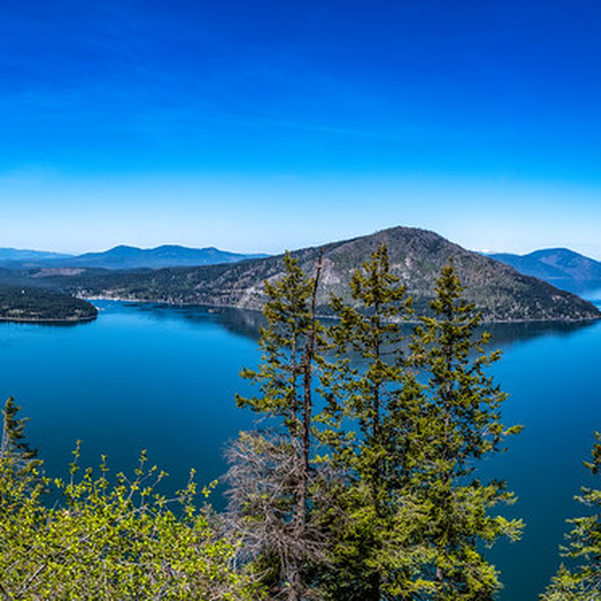

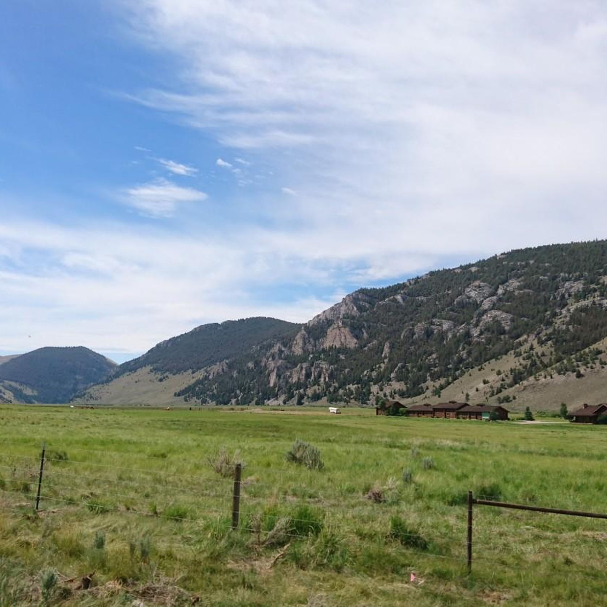

Other adventures in the Bitterroot Range

Tips from the Community

Sanders Beach in Coeur d’Alene, Idaho, is a serene lakeside retreat nestled between Tubbs Hill and the Coeur d’Alene Resort Golf Course. Known for its soft sand, clear waters, and peaceful atmosphere, it's a favorite among locals seeking a quieter alternative to the busier downtown beaches. Our Town CDA MapQuest The surrounding neighborhood features a mix of historic cottages, mid-century homes, and upscale residences, all within walking distance of downtown Coeur d’Alene and the scenic Tubbs Hill trail. Public access points at 11th and 15th Streets make it easy to enjoy paddleboarding, swimming, or simply relaxing with views of Lake Coeur d’Alene.
0
0
Downtown Coeur d’Alene blends small-town charm with lakefront views, offering a walkable mix of local shops, cafes, and art galleries. In summer, the area buzzes with activity thanks to outdoor events, water sports, and the scenic Tubbs Hill trail just steps from Main Street.
0
0
The Tubbs Hill Main Trail is a 2.2-mile interpretive loop in Coeur d'Alene, Idaho, offering hikers scenic views of Lake Coeur d'Alene and access to woodland habitats and historical points of interest. This easy-to-moderate trail, which takes about 52 minutes to complete, is a popular destination for both locals and visitors seeking a nature experience close to downtown.
0
0

Ride along the North Idaho Centennial Trail for an optional total of 23 miles from the Idaho/Washington state line to Higgins Point, located six miles east of Coeur d'Alene. This paved trail is for walkers, joggers, and cyclists, and it connects to the Spokane River Centennial Trail, which leads to Nine Mile Falls. To protect the trail, users must adhere to regulations, including keeping to the right, yielding to pedestrians, and leashing pets. Enjoy this scenic section between downtown Coeur d'Alene and Lake Coeur d'Alene.
2
0

Here, the lake turns into the river, and you can follow the Spokane River for several miles. This river meanders 111 miles from Lake Coeur d’Alene, Idaho, to Lake Roosevelt, which is part of the mighty Columbia River.
0
0

There are a few different trails at Tubbs Hill Park, and by far the most popular is the Tubbs Hill Main Trail, which is a loop trail that circles around the perimeter of the park. The trail has a bunch of rolling hills with lots of coastline views and a fair bit of tree-cover.
1
0

This small beach area, mostly a marina, provides a unique view of boats docked on the beautiful waters of Lake Coeur d'Alene, surrounded by picturesque alpine mountains.
0
0
This part of the trail hits an intersection with a few other paths and passes by some underpasses with graffiti. A lot of the trails in the area are utilized as commuter trails and have walkers, runners, and bike riders using the paths.
0
0
Frequently Asked Questions
How many running routes are available in the Bitterroot Range?
The Bitterroot Range offers a wide selection of running experiences, with over 25 routes documented on komoot. These range from easy riverside paths to more challenging mountain trails.
Are there easy running routes suitable for beginners in the Bitterroot Range?
Yes, the Bitterroot Range has several easy running routes perfect for beginners or those looking for a relaxed pace. For instance, the Running loop from Coeur d'Alene is an easy 3-mile (4.8 km) path, and the Lake Coeur d'Alene – North Idaho Centennial Trail loop from Coeur d'Alene is another easy option at 2.6 miles (4.2 km).
What are some longer distance running trails in the Bitterroot Mountains?
For runners seeking a longer challenge, the Bitterroot Mountains offer routes like the Silver Beach Marina loop from Coeur d'Alene, which is a difficult 9.8 miles (15.8 km) path. Another great option is the North Idaho Centennial Trail – Lake Coeur d'Alene loop from Coeur d'Alene, covering 7.5 miles (12.0 km).
Are there any loop running trails in the Bitterroot Mountains?
Many of the running routes in the Bitterroot Mountains are convenient loops. Examples include the popular North Idaho Centennial Trail – Spokane River loop from Coeur d'Alene, a 5.1-mile (8.2 km) loop, and the Tubbs Hill Main Trail loop from Coeur d'Alene, which is a shorter 2.3-mile (3.7 km) loop.
What kind of scenic views can I expect on running routes in the Bitterroot Range?
The Bitterroot Range offers stunning scenic views, particularly along its many lake and river trails. Routes often feature expansive vistas of Lake Coeur d'Alene, dense forests, and the rugged mountain landscape. The Silver Beach Marina – View of Lake Coeur d'Alene loop from Coeur d'Alene is a great example for panoramic lake views.
What do other runners enjoy most about the trails in the Bitterroot Range?
The running trails in the Bitterroot Range are highly rated by the komoot community, with an average score of 4.8 stars. Runners frequently praise the diverse terrain, from gentle riverside paths to challenging mountain ascents, and the natural beauty of the region's forests and waterways.
Are there family-friendly running trails in the Bitterroot Valley?
Yes, the Bitterroot Valley offers several routes suitable for families. Look for trails with easier difficulty ratings and shorter distances. The Running loop from Maclay Flats is an easy 1.8-mile (2.9 km) option that could be suitable for a family outing.
What are some points of interest or landmarks I can see along running routes in the Bitterroot Range?
Many running routes in the Bitterroot Range pass by notable attractions. You can enjoy views of Lake Coeur d'Alene, explore Coeur d'Alene City Park and Beach, or experience the scenic North Idaho Centennial Trail. The Tubbs Hill Main Trail also offers beautiful natural surroundings.
When is the best time of year for running in the Bitterroot Range?
The best time for running in the Bitterroot Range is typically from late spring through early autumn (May to October), when the weather is mild and trails are clear of snow. Summer offers warm temperatures, while spring and fall provide cooler conditions and vibrant scenery.
Are there running trails in the Bitterroot Mountains that are less crowded?
To find less crowded running trails, consider exploring routes slightly off the main tourist hubs or venturing out during off-peak hours. Trails further into the national forests or wilderness areas, such as the Pulaski Tunnel Overlook loop from Wallace, might offer more solitude compared to popular lakeside paths.
Are there any running routes near Fernan Lake Village?
Yes, there are running routes accessible from Fernan Lake Village. An example is the Silver Beach Marina – View of Lake Coeur d'Alene loop from Fernan Lake Village, which is a moderate 4.9-mile (7.9 km) route offering views of the lake.
Most popular routes in the Bitterroot Range
Most popular attractions in the Bitterroot Range

Get inspired with the komoot mobile app


Explore more
Browse the best Running Trails & Routes in other regions.
