The best hikes from bus stations in Louth
4.6
(389)
2,915
hikers
37
hikes
Hiking in Louth offers a diverse landscape for outdoor activities, characterized by the dramatic Cooley Mountains, the scenic coastline along Carlingford Lough, and tranquil woodlands such as Ravensdale Forest. The region features a blend of challenging mountain trails, coastal paths, and gentler forest walks. Elevations range from sea-level routes to significant ascents in the Cooley Mountains, providing varied terrain for hikers.
Best bus station hiking trails in Louth
- The most popular bus station hiking route is Slieve Foye & Barnevave…
Last updated: May 20, 2026
4.8
(6)
33
hikers
15.4km
05:26
780m
780m
Hard hike. Very good fitness required. Mostly accessible paths. Sure-footedness required.
4.3
(12)
87
hikers
Moderate hike. Good fitness required. Easily-accessible paths. Suitable for all skill levels.

Sign up for free
4.0
(3)
17
hikers
15.6km
04:35
450m
450m
Moderate hike. Good fitness required. Easily-accessible paths. Suitable for all skill levels.
5.0
(5)
20
hikers
8.63km
02:31
240m
240m
Moderate hike. Good fitness required. Easily-accessible paths. Suitable for all skill levels.
11
hikers
5.53km
01:26
30m
30m
Easy hike. Great for any fitness level. Easily-accessible paths. Suitable for all skill levels.
Get access to more routes and recommendations from other explorers.
Sign up for free
Already have an account?
Our route recommendations are based on thousands of hikes, rides, and runs completed by other people on komoot.
Start today with a free account
Your next adventure awaits.
Login or Signup
Popular around Louth
Hikes from bus stations around The Municipal District of Dundalk

Hikes from bus stations around Drogheda

Hikes from bus stations around Ardee
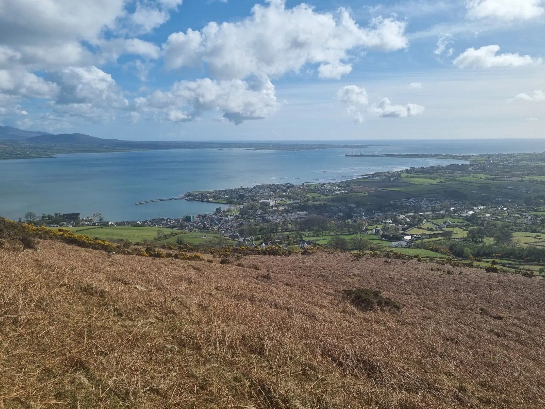
Táin Way – exploring the Cooley Peninsula

Between waves and peaks — to the best views in Ireland
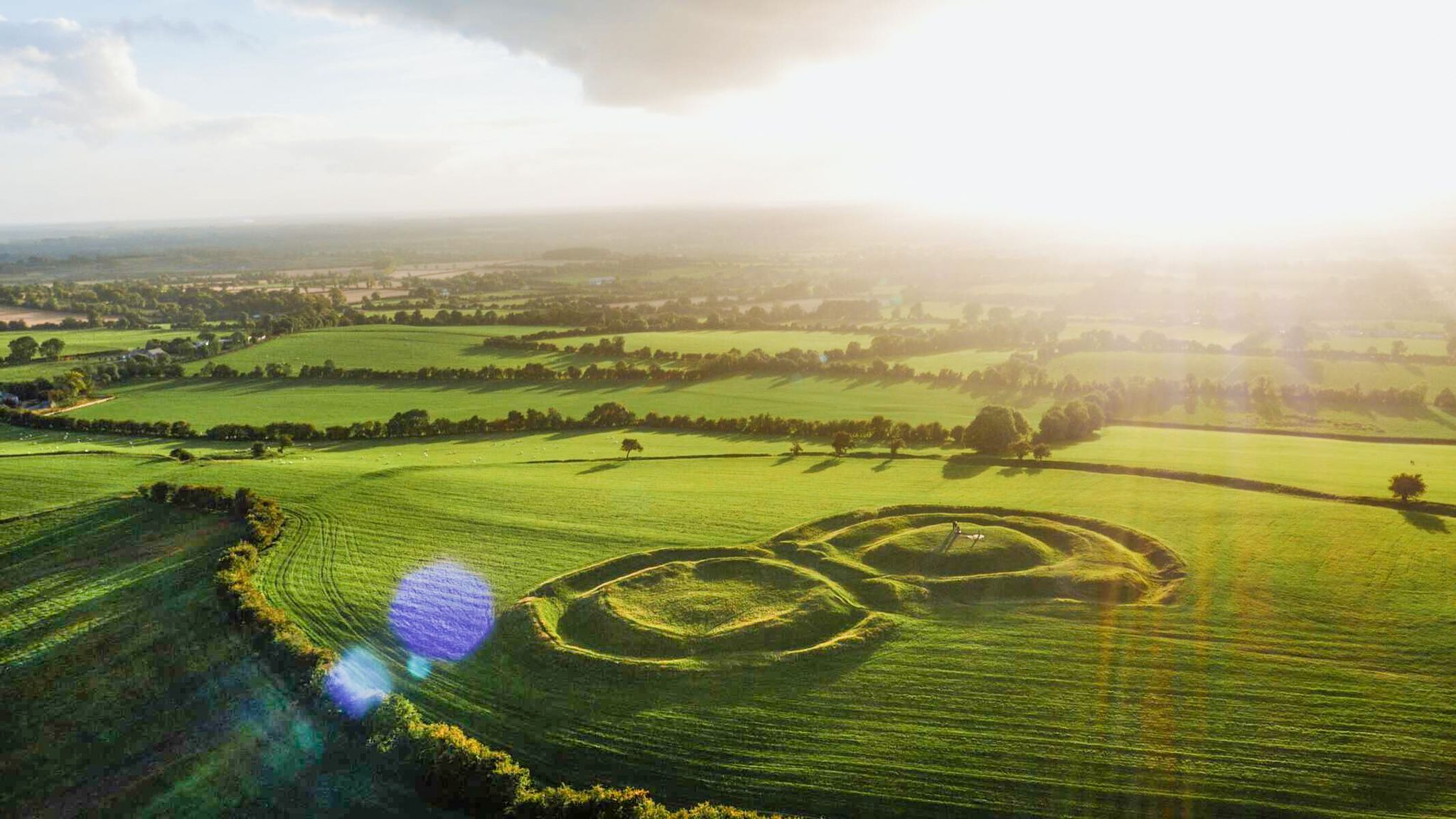
The magical east of Ireland – ancient places, scenic lakes and rocky mountains


Tips from the Community

The setting is done with great attention to detail, and it almost feels like a quick picnic in the mountains when you sit down at the rustic tables and look into the distance. The patterned cups and saucers give the place a cozy touch and make the whole thing that little bit more special. The view of the surrounding hills and the relaxed atmosphere invite you to take a short break - perfect for resting your legs and just taking a breather. The coffee house is not only friendly to cyclists, but even offers bike rental for the Ring of Gullion. Handy if you need an extra boost for the next stage! The surroundings are green and spacious, a nice mix of Irish idyll and relaxed hospitality. The owners seem to take the attention to detail seriously, which is reflected in the little things like the decorative elements and the cozy atmosphere.
1
0
Cycling through the Ring of Gullion, you'll always come across places where you just have to stop. The views up here are special - not spectacular in the usual sense, but rather calming and expansive. I took a short break and let my gaze wander over the wide valley. From the heights you can see the green landscape of Northern Ireland stretching gently into the distance. The quiet hills and scattered farms seem peaceful and remind you that sometimes it's the simple things that make a place special. With the trailer for the kids, it was nice to take a quick breather and enjoy the little break. The routes here offer enough variety so that you can really pedal and then roll comfortably again. Sometimes the wind is a bit stronger, but that's part of it if you want to experience nature to the fullest. A little tip: the viewpoints aren't always immediately visible, but if you have a good feeling for beautiful places, you'll find them all by yourself. A short stop and the moment is yours – and of course the vast landscape that lies at your feet
2
0
In the middle of the forest, you suddenly find yourself standing in front of a bizarre stone creature - the "witch". She looks as if she has just risen from the mossy ground, with a mischievous smile and deep, expressive wrinkles on her face. This artfully designed stone is one of those unexpected encounters that transform the forest into a small adventure land. When you explore this magical place surrounded by old trees and whispering leaves, it almost seems as if the witch is greeting you with a wink. Here you can linger for a moment, enjoy the silence and let your imagination run wild - who knows what stories this forest still has to tell?
1
0
On the way through the Giant's Lair you will be immersed in Irish legends. As soon as you pass under the artistically carved archway, a magical world opens up in which the story of Finn McCool comes to life. The path leads you and the whole family through four chapters that bring the world of legend to life with lovingly designed stations. For the little ones it is an exciting treasure hunt - at every bend there are new clues waiting for them, which they eagerly discover. While they run ahead to find the next adventure, there is enough time for you to enjoy the lush nature. The dense trees, the mosses and the ancient carvings make you forget everyday life. You are in the middle of a story that unfolds further with every step.
1
0

Cycle with caution, one way system in place for this small section
0
0
Enjoy the many view points to stop and take in the landscape
2
0

Here it is worth climbing the mountain
0
2

Wikipedia (Slieve Foy (Irish: Sliabh Feá), 2023-12-02): https://en.m.wikipedia.org/wiki/Slieve_Foy Wikipedia (Lists of mountains in Ireland, 2023-12-02): https://en.m.wikipedia.org/wiki/Lists_of_mountains_in_Ireland MountainViews.ie (Slieve Foye, 2023-12-02): https://mountainviews.ie/summit/298/ TheIrishRoadtrip (“A Guide To The Slieve Foye Loop: Trail, Parking + Handy Info”, 2023-12-02): https://www.theirishroadtrip.com/slieve-foye-loop/
2
1
Frequently Asked Questions
How many bus station hiking trails are available in Louth?
There are over 30 hiking trails in Louth that are easily accessible from bus stations. These routes cater to various fitness levels, with 19 easy, 12 moderate, and 2 difficult options.
Are there any challenging bus-accessible hikes in Louth?
Yes, for experienced hikers seeking a challenge, the Slieve Foye & Barnevave loop from Carlingford is a difficult 15.4 km route with significant elevation gain. This trail offers stunning views of Carlingford Lough and the surrounding mountains.
What kind of scenery can I expect on bus-accessible hikes in Louth?
Louth's bus-accessible trails offer a diverse range of scenery, from the dramatic peaks of the Cooley Mountains to tranquil woodlands and scenic coastal paths along Carlingford Lough. You can expect panoramic views, lush forests, and picturesque water features.
Are there any easy, family-friendly bus station hikes in Louth?
Yes, there are several easy options perfect for families. The Hiking loop from Townley Hall is an easy 5.5 km route, ideal for a relaxed outing. Many coastal paths, like sections of the Carlingford Greenway, are also suitable for families and offer beautiful views.
What do other hikers say about the bus station trails in Louth?
The bus station hiking trails in Louth are highly regarded by the komoot community, with an average rating of 4.6 out of 5 stars from over 360 reviews. Hikers often praise the diverse landscapes, well-maintained paths, and the convenience of public transport access to such scenic routes.
Can I find circular routes that start and end near bus stations?
Many of the trails in Louth, including those accessible by bus, are designed as circular routes, allowing you to return to your starting point without needing additional transport. For example, the Slieve Foye & Barnevave loop from Carlingford is a popular circular option.
Are there any historical landmarks or points of interest along these routes?
Yes, Louth is rich in history. Along various routes, you might encounter historical sites such as Carlingford, which boasts Carlingford Castle. Other notable attractions include Monasterboice High Crosses and Round Tower, and Castle Roche, offering glimpses into the region's past.
Which bus-accessible trails offer the best viewpoints?
For breathtaking views, consider routes in the Cooley Mountains. The Slieve Foye & Barnevave loop from Carlingford provides sweeping vistas of Carlingford Lough and the Mourne Mountains. Trails around Slieve Foye Summit and Barnavave Summit are particularly rewarding for panoramic scenery.
Are there any moderate bus-accessible hikes for a full day out?
Absolutely. Routes like the Giant's Lair – View of Slieve Gullion loop from Meigh, at 15.6 km, or the Slieve Gullion Summit – Calliagh Beara Lough loop from Ring of Gullion AONB, at 13.3 km, are moderate options that can fill a good portion of your day with varied terrain and scenic beauty.
What types of natural features can I explore on Louth's bus station trails?
Louth's landscape is incredibly varied. You can explore the dramatic peaks of the Cooley Mountains, the serene woodlands of areas like Ravensdale Forest, and the picturesque coastal paths along Carlingford Lough and the Clogherhead Cliff Walk. These trails often feature streams, loughs, and diverse flora and fauna.
Are there any shorter, moderate bus-accessible hikes?
Yes, if you're looking for a moderate hike that's not too long, the View of Slieve Gullion loop from St Patrick's Church is an excellent choice. This 8.6 km route offers a good workout with rewarding views without requiring a full day's commitment.
Most popular routes in Louth
Most popular attractions in Louth

Get inspired with the komoot mobile app


Didn’t find what you were looking for?
Check out more Hikes throughout Louth below and find the perfect route in your destination.
Explore more
Browse the best Hikes in other regions.
