The best walks and hikes in Louth
4.5
(394)
2,979
hikers
76
hikes
Hiking in Louth, located in Ireland, offers diverse outdoor experiences across varied landscapes. The region is characterized by the dramatic Cooley Mountains, which include Slieve Foye, its highest peak. Coastal paths along Carlingford Lough provide scenic walks, while areas like Ravensdale Forest feature tranquil woodlands and streams. This combination of mountain, forest, and coastal terrain provides a range of hiking opportunities.
Best hiking trails in Louth
- The most popular hiking route is Ravensdale Forest loop, a 4.5 miles (7.3 km) trail that takes 2 hours 15 minutes to complete. This moderate route winds through lush woodlands and past peaceful streams.
- Another top favourite among local hikers is Slieve Foye & Barnevave loop from Carlingford, a difficult 9.6 miles (15.4 km) path. This trail offers strenuous climbs with panoramic views of Carlingford Lough and the surrounding mountains.
- Local hikers also love the Táin Way, a 14.9 miles (24.0 km) trail leading through the Cooley Mountains and along Carlingford Lough, often completed in about 7 hours 5 minutes.
- Hiking in Louth is defined by the Cooley Mountains, coastal paths along Carlingford Lough, and dense woodlands. The network offers options for various ability levels, from leisurely strolls to challenging mountain ascents.
- The routes in Louth are highly rated by the komoot community with an average score of 4.5 stars from over 140 reviews. More than 890 hikers have used komoot to explore Louth's varied terrain.
Last updated: August 26, 2026
4.4
(25)
70
hikers
7.34km
02:15
270m
270m
Moderate hike. Good fitness required. Easily-accessible paths. Suitable for all skill levels.
4.5
(12)
63
hikers
25.6km
06:45
230m
230m
Hard hike. Very good fitness required. Easily-accessible paths. Suitable for all skill levels.

Sign up for free
4.8
(9)
39
hikers
15.4km
05:26
780m
780m
Hard hike. Very good fitness required. Mostly accessible paths. Sure-footedness required.
3.6
(8)
32
hikers
12.7km
03:51
430m
430m
Moderate hike. Good fitness required. Easily-accessible paths. Suitable for all skill levels.
4.9
(7)
27
hikers
16.8km
05:31
620m
620m
Hard hike. Very good fitness required. Mostly accessible paths. Sure-footedness required.
4.3
(4)
42
hikers
8.89km
02:17
40m
40m
Moderate hike. Good fitness required. Easily-accessible paths. Suitable for all skill levels.
5.0
(2)
27
hikers
Moderate hike. Good fitness required. Easily-accessible paths. Suitable for all skill levels.
5.0
(6)
25
hikers
9.67km
03:35
530m
530m
Moderate hike. Good fitness required. Mostly accessible paths. Sure-footedness required.
11
hikers
5.27km
02:15
440m
440m
Moderate hike. Good fitness required. Easily-accessible paths. Suitable for all skill levels.
7
hikers
7.31km
01:58
100m
100m
Easy hike. Great for any fitness level. Easily-accessible paths. Suitable for all skill levels.
Get access to more routes and recommendations from other explorers.
Sign up for free
Already have an account?
Our route recommendations are based on thousands of hikes, rides, and runs completed by other people on komoot.
Start today with a free account
Your next adventure awaits.
Login or Signup
Popular around Louth
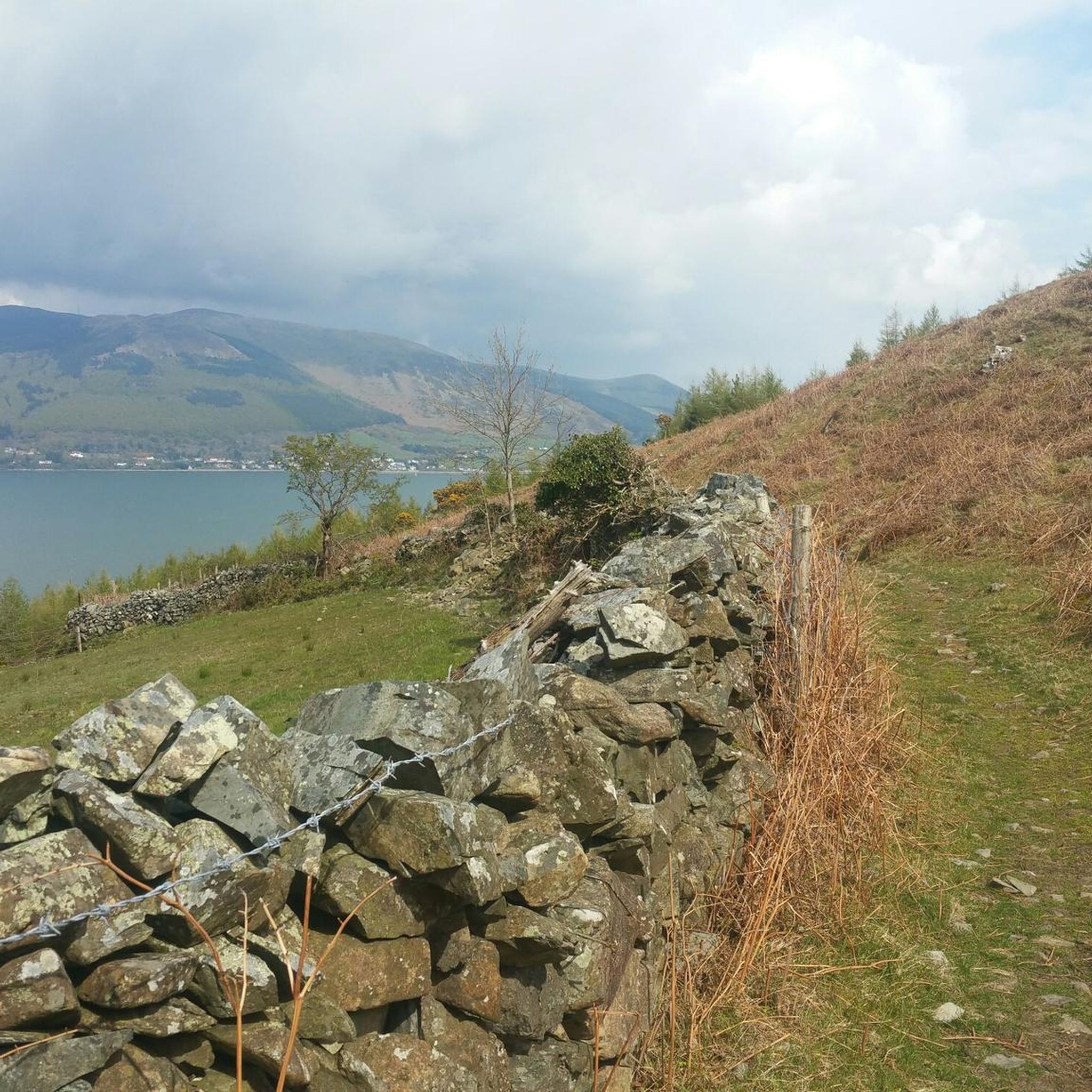
Hiking around The Municipal District of Dundalk
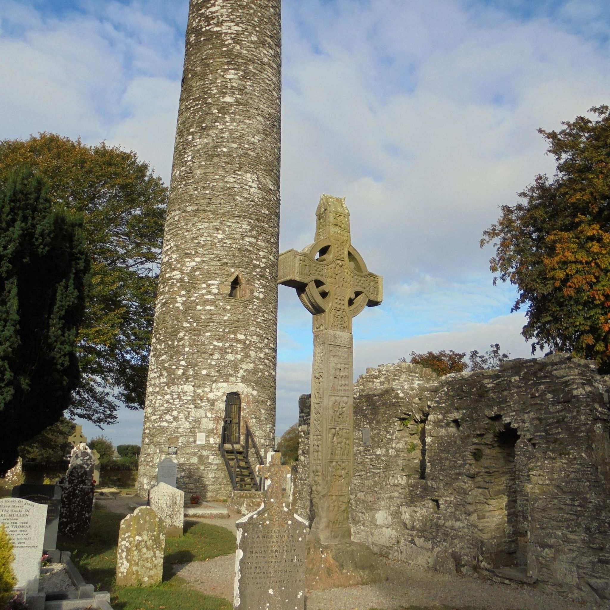
Hiking around Drogheda
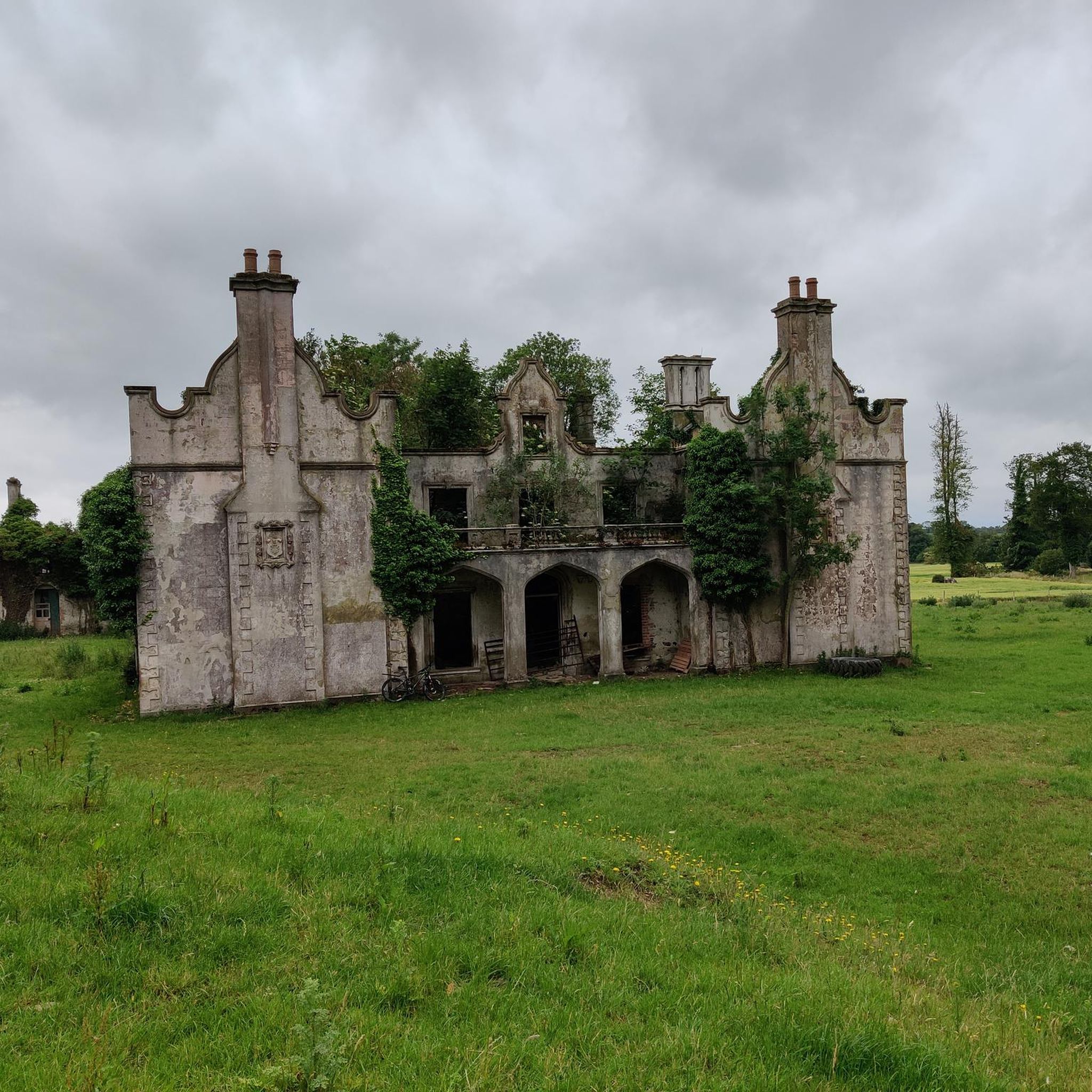
Hiking around Ardee
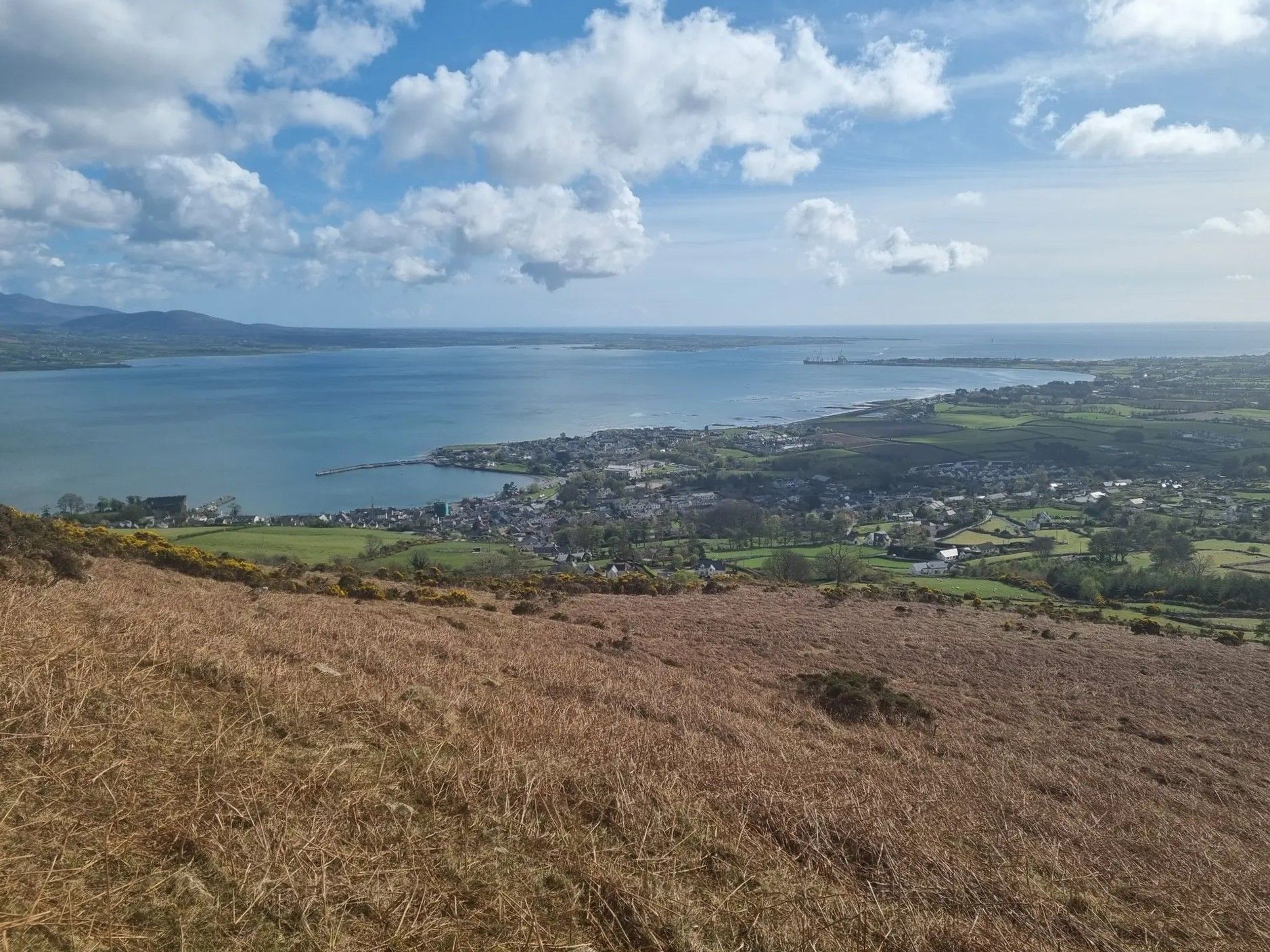
Táin Way – exploring the Cooley Peninsula

Between waves and peaks — to the best views in Ireland
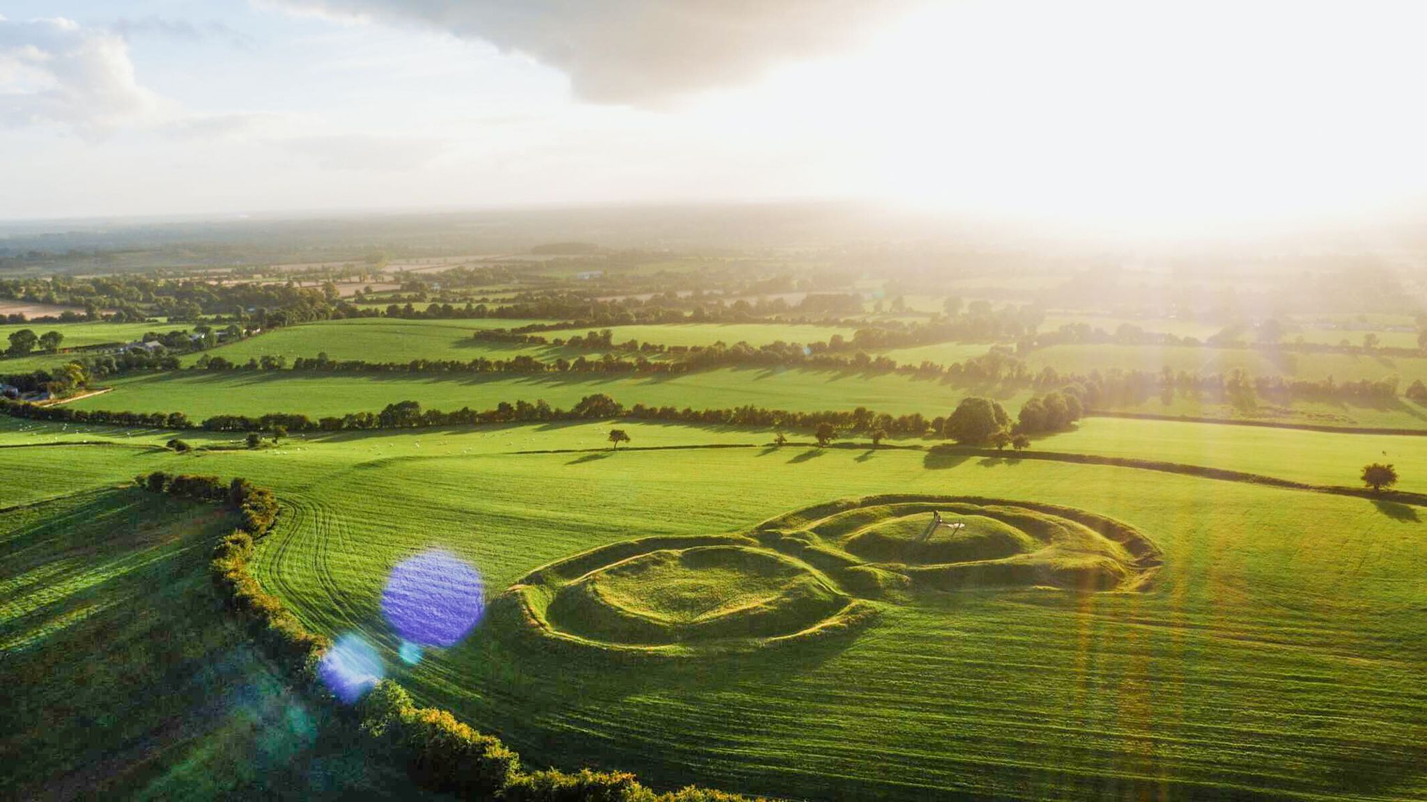
The magical east of Ireland – ancient places, scenic lakes and rocky mountains
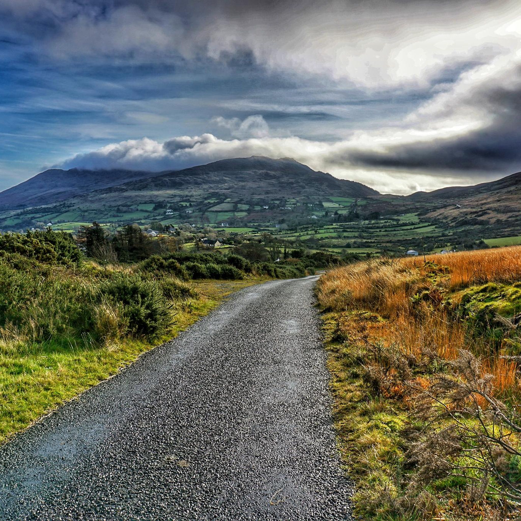
Road Cycling Routes in Louth
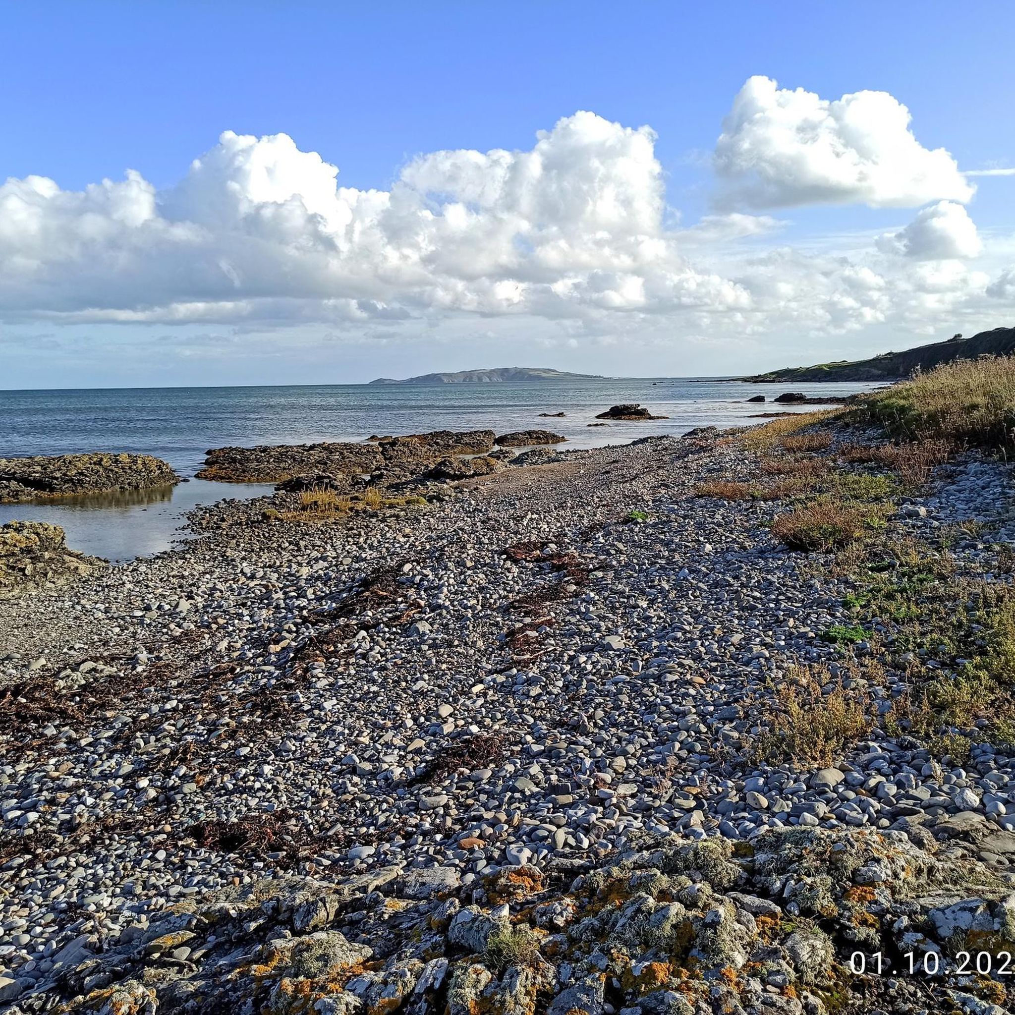
Running Trails in Louth
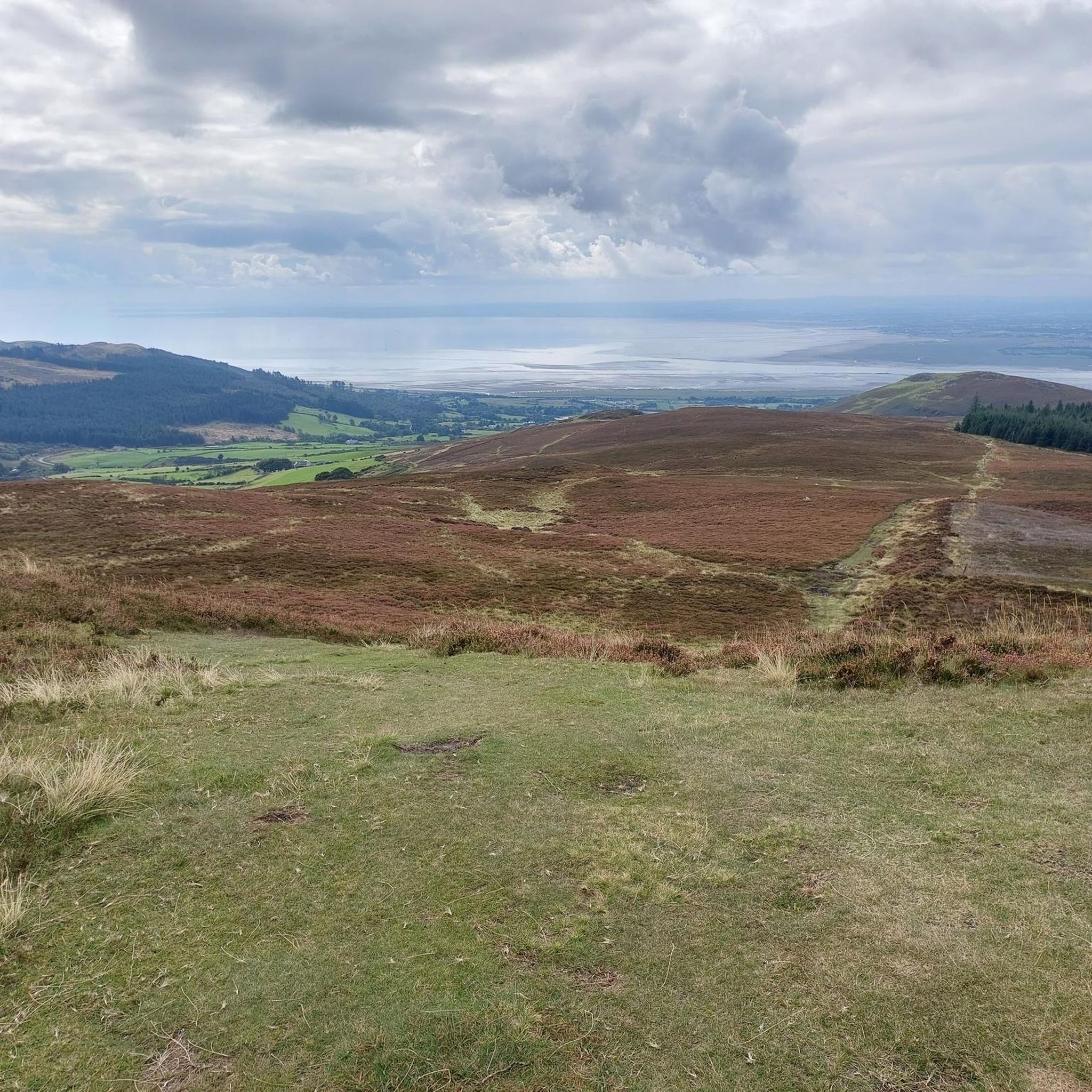
Cycling in Louth
MTB Trails in Louth


Tips from the Community

The Boyne River Greenway takes you on a relaxing journey through Ireland's history. This beautifully crafted trail follows the winding River Boyne from the vibrant quays of Drogheda to the historic fields of Oldbridge. You'll cycle through a landscape of lush woodlands and rolling riverbanks, far from traffic. Along the way, you'll pass information boards that tell the story of the legendary Battle of the Boyne. Whether you come for the nature, the fresh air, or the unique heritage of the Boyne Valley; this green artery offers a relaxing and inspiring experience for every cyclist.
6
0

The Eagles Rock is a 528 metre (1,732 ft) top at the northern end of the Slieve Foye ridge. It makes a great vantage point and picnic stop when walking the ridge from Carlingford. There are great views back along the ridge and over the beautiful Carlingford Lough.
0
0

Take time to enjoy the peaceful stretch of the Boyne River Greenway as it follows the gentle curves of the River Boyne through the historic town of Drogheda. This scenic route also forms part of the Boyne Valley Camino, adding a sense of pilgrimage and heritage to your journey.
1
0
Take a moment to follow the skyline across the River Boyne, where St Peter's Church, St Mary's Church, St Laurence's Church, and St James's Church rise gently above the town. Each church has its own distinct silhouette – from slender spires to sturdier towers. The grouping of these landmarks reflect Drogheda’s historic character. It's worth pausing to take a photo from this side of the river.
0
0

Great view of the famous River Boyne from the Townley Hall Woods walking path. In Irish mythology, it is claimed that the river was created by the queen and goddess Boann. Another legend says that the Boyne is the river where Fionn mac Cumhaill captured the Salmon of Knowledge.
0
0
Townley Hall Wood was part of Townley Hall Estate which was owned by the Balfour family. The Balfours built Townley Hall House (not open to the public) together with this little lodge and entrance gate. A nearby car park makes this a great place to start your walk from. Enjoy the Brú na Bóinne archaeological site and the Battle of the Boyne site.
0
0
The northwest top of Slieve Foye is a little lower at 535 m (1,755 ft), but the ridge is fun and you can combine the two summits and make a great loop.
0
0

Druid’s Circle, Clermont Estate: this small oval stone circle above the Flurry River, marked as both “Standing Stone” and “Druids Circle” on old maps, was likely uncovered in 1840 by Lord Clermont. Though some believe it’s prehistoric, others argue it may be 19th-century landscaping. Its irregular layout and re-set stones cast doubt on its authenticity. Still, it’s a scenic and mysterious woodland stop.
1
0
Frequently Asked Questions
What kind of terrain can I expect when hiking in Louth?
Louth offers a diverse range of hiking terrain. You'll find dramatic mountain landscapes in the Cooley Mountains, including strenuous climbs up Slieve Foye. There are also scenic coastal paths along Carlingford Lough and tranquil woodland trails in areas like Ravensdale Forest. The region's varied geography provides options from gentle strolls to challenging mountain ascents.
Are there hiking options for beginners or families in Louth?
Yes, Louth has several trails suitable for beginners and families. For a pleasant woodland experience, consider the Ravensdale Forest loop, which is a moderate 4.5 miles (7.3 km) route. The Carlingford Greenway also offers a relatively flat walk along the lough shore, perfect for a leisurely outing.
What are some of the more challenging hikes in Louth?
For those seeking a challenge, the Cooley Mountains offer strenuous routes. The Slieve Foye & Barnevave loop from Carlingford is a difficult 9.6 miles (15.4 km) path with significant elevation gain and panoramic views. Another demanding option is the Táin Way, a 14.9 miles (24.0 km) trail through the Cooley Mountains and along Carlingford Lough.
How long do hikes in Louth typically take?
Hike durations in Louth vary widely depending on the trail and your pace. Shorter, easier routes like the Ravensdale Forest loop can take around 2 hours 15 minutes. More challenging and longer trails, such as the Táin Way, might require up to 7 hours 5 minutes to complete.
What interesting landmarks or attractions can I see along the hiking trails in Louth?
Many trails in Louth offer access to historical sites and natural beauty. You can reach the Slieve Foye Summit for incredible views, explore the charming town of Carlingford, or visit the ancient Druids' Circle in Ravensdale Forest. Other notable sites include Long Woman's Grave Memorial and Clermont Carn Summit.
Are there any circular hiking routes in Louth?
Yes, Louth features several excellent circular routes. The Ravensdale Forest loop is a popular option. For a more demanding circular hike, consider the Slieve Foye & Barnevave loop from Carlingford, which offers stunning mountain and lough views.
What is the best time of year to go hiking in Louth?
The best time for hiking in Louth is generally from spring through autumn (April to October) when the weather is milder and daylight hours are longer. Summer offers the warmest temperatures, but spring and autumn provide beautiful scenery with fewer crowds. Always check local weather forecasts before heading out, especially for mountain trails.
Are there any dog-friendly hiking trails in Louth?
Many trails in Louth are dog-friendly, particularly those in forest areas like Ravensdale Forest and coastal paths. However, it's always recommended to keep dogs on a leash, especially in areas with livestock or wildlife, and to check specific trail regulations before your visit. Always clean up after your pet.
Is public transport available to access hiking trails in Louth?
Public transport options to access specific trailheads in Louth can be limited, especially for more remote mountain routes. However, towns like Carlingford, which serve as starting points for several popular hikes, are generally accessible by bus services. Planning your journey in advance and checking local bus schedules is advisable.
Are there good parking facilities near the hiking trails in Louth?
Many popular trailheads in Louth, such as those for Ravensdale Forest and routes starting from Carlingford, offer designated parking areas. While some smaller, more rural trails might have limited parking, main attractions usually provide adequate facilities. It's always a good idea to check parking availability for your chosen route beforehand.
What do other hikers enjoy the most about hiking in Louth?
The hiking experience in Louth is highly rated by the komoot community, with an average score of 4.5 stars from over 140 reviews. Hikers often praise the diverse landscapes, from the dramatic Cooley Mountains to the tranquil coastal paths and lush forests. The stunning views of Carlingford Lough and the surrounding countryside are frequently highlighted as a major draw.
Most popular routes in Louth
Most popular attractions in Louth

Get inspired with the komoot mobile app


Didn’t find what you were looking for?
Check out more Hikes throughout Louth below and find the perfect route in your destination.
Explore more
Browse the best Hikes in other regions.
