The best MTB trails in Louth
4.2
(20)
488
riders
11
rides
Mountain biking in Louth offers diverse terrain across rugged mountains, picturesque coastlines, and lush forests. The region is characterized by the dramatic Cooley Mountains, which provide challenging climbs and remote cross-country trails. Riders can also explore routes along the scenic Carlingford Lough and through the peaceful woodlands of Ravensdale Forest Park. This varied landscape ensures a range of mountain biking experiences for different skill levels.
Best mountain bike trails in Louth
- The most popular mountain bike trail is Carlingford — Cooley Mountains loop, a 14.2 miles (22.9 km) trail that takes 2 hours 48 minutes to complete. This difficult route features demanding climbs and offers panoramic views.
- Another top favourite among local mountain bikers is Jenkinstown, a moderate 7.4 miles (11.9 km) path. This route provides a flowy ride through varied terrain.
- Local mountain bikers also love the Long Woman's Grave Memorial – Carlingford loop from The Lumpers, a 28.6 miles (46.1 km) trail leading through the Cooley Mountains, often completed in about 4 hours 42 minutes.
- Mountain biking in Louth is defined by rugged mountain trails, coastal paths along Carlingford Lough, and forest routes. The network offers options for beginners to advanced riders, with trails ranging from easy to difficult.
- The routes in Louth are highly rated by the komoot community with an average score of 4.4 stars from over 10 reviews. More than 500 mountain bikers have used komoot to explore Louth's varied terrain.
Last updated: August 31, 2026
22.9km
02:48
870m
870m
Hard mountain bike ride. Good fitness required. Advanced riding skills necessary. Some portions of the route may require you to push your bike.
11.9km
01:13
310m
310m
Moderate mountain bike ride. Good fitness required. Suitable for all skill levels.

Sign up for free
44
riders
45.9km
04:41
1,420m
1,420m
Hard mountain bike ride. Very good fitness required. Suitable for all skill levels.
3.0
(2)
32
riders
20.4km
01:47
400m
400m
Moderate mountain bike ride. Good fitness required. Suitable for all skill levels.
40
riders
12.0km
01:11
300m
300m
Moderate mountain bike ride. Good fitness required. Suitable for all skill levels.
5
riders
28.2km
02:34
720m
720m
Moderate mountain bike ride. Good fitness required. Suitable for all skill levels.
6
riders
41.3km
03:55
1,170m
1,170m
Hard mountain bike ride. Very good fitness required. Suitable for all skill levels.
6
riders
47.5km
04:10
1,160m
1,160m
Hard mountain bike ride. Very good fitness required. Suitable for all skill levels.
9
riders
17.1km
01:34
470m
470m
Moderate mountain bike ride. Good fitness required. Suitable for all skill levels.
Moderate mountain bike ride. Good fitness required. Suitable for all skill levels.
Our route recommendations are based on thousands of hikes, rides, and runs completed by other people on komoot.
Start today with a free account
Your next adventure awaits.
Login or Signup
Popular around Louth
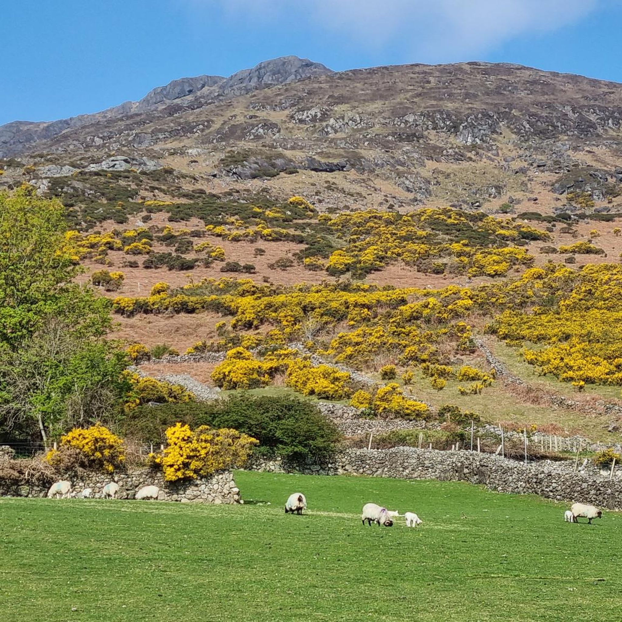
MTB Trails around The Municipal District of Dundalk
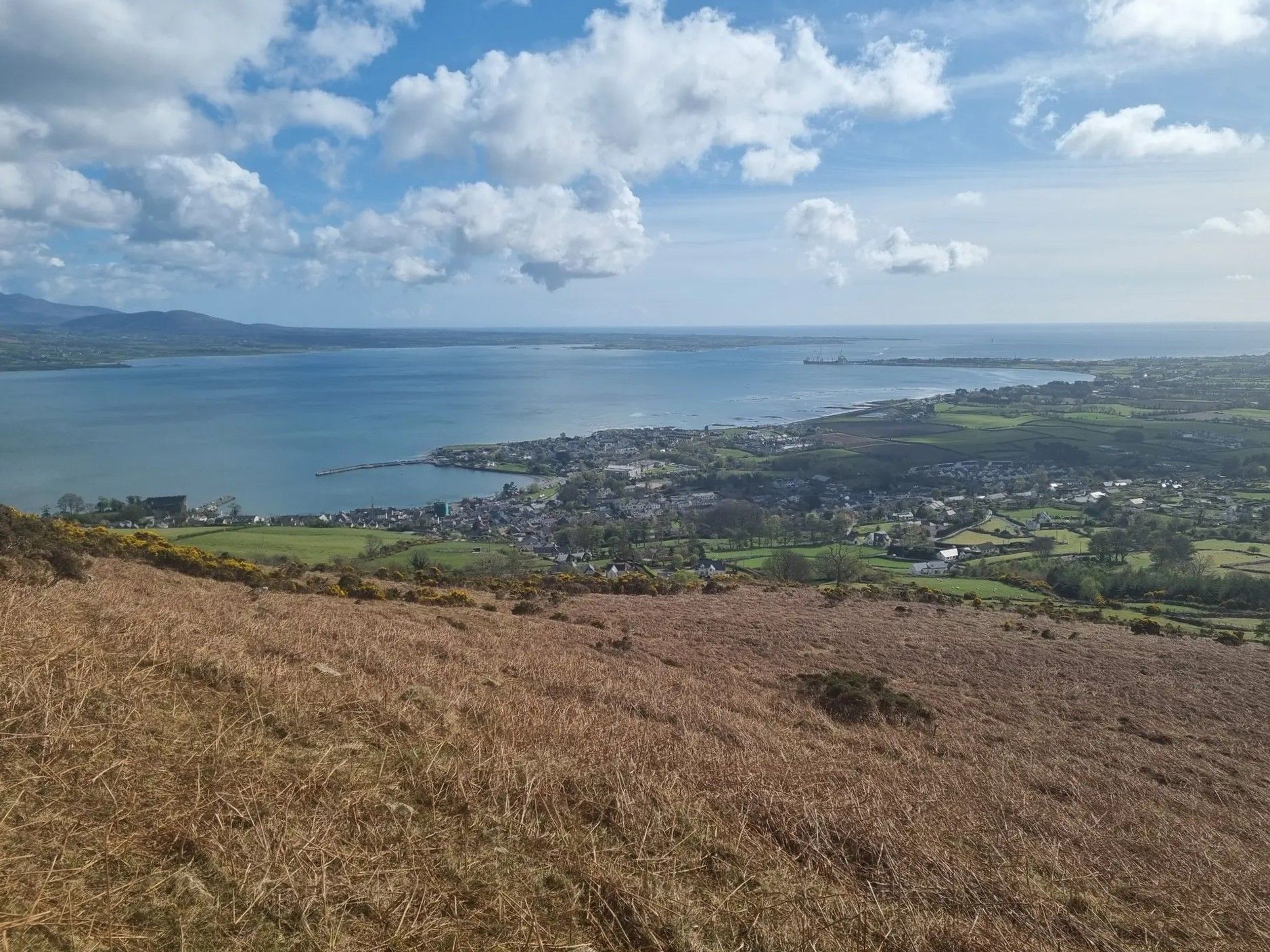
Táin Way – exploring the Cooley Peninsula

Between waves and peaks — to the best views in Ireland
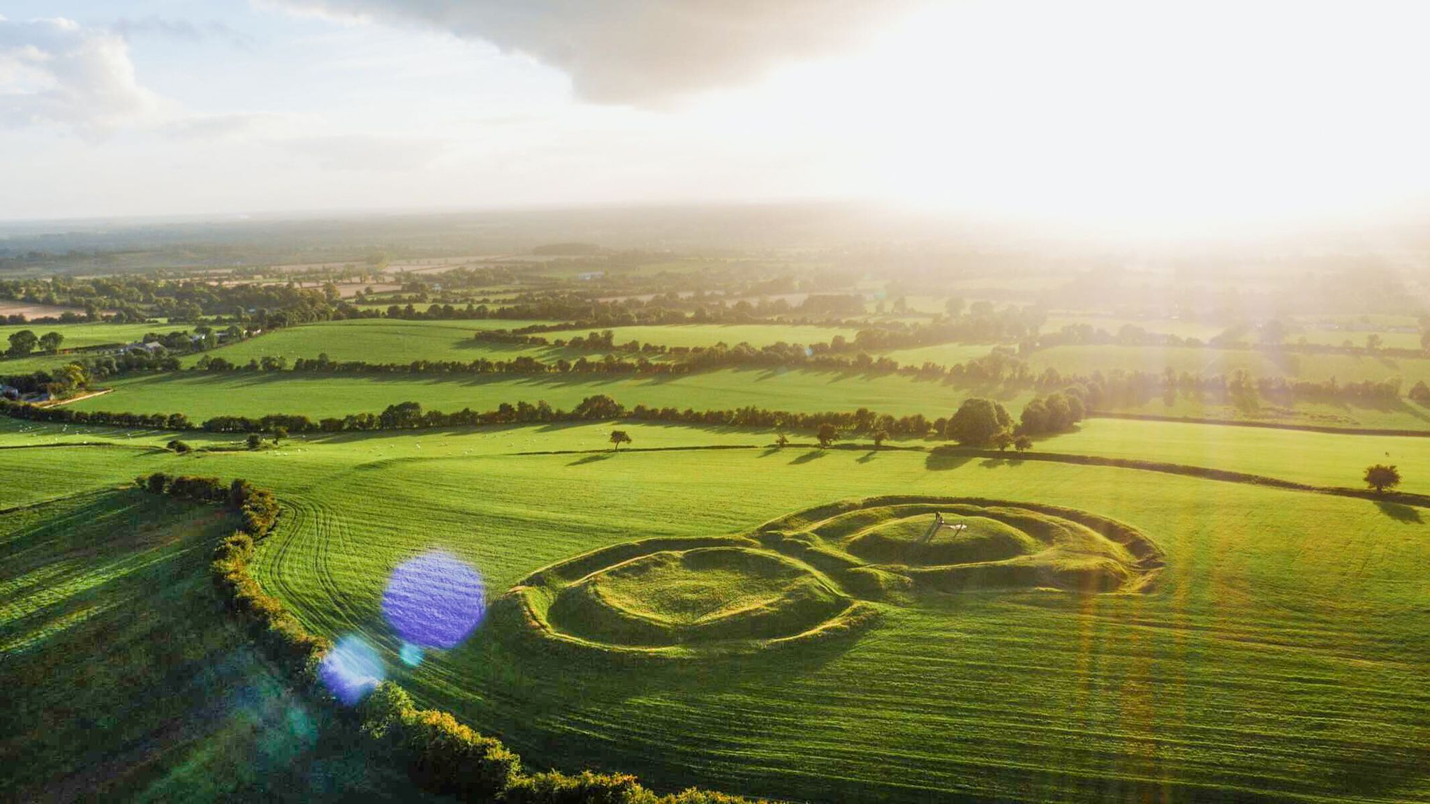
The magical east of Ireland – ancient places, scenic lakes and rocky mountains
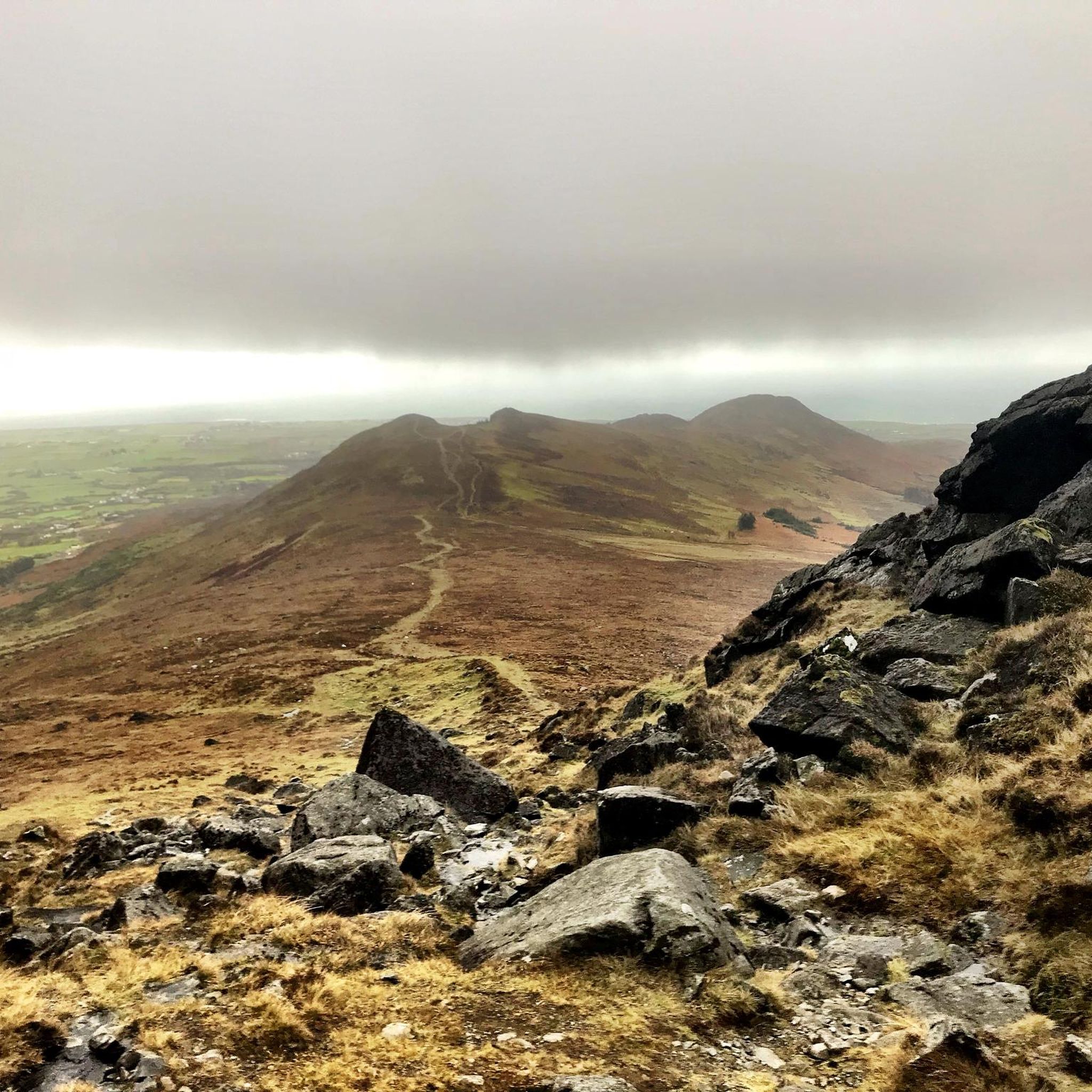
Hiking in Louth
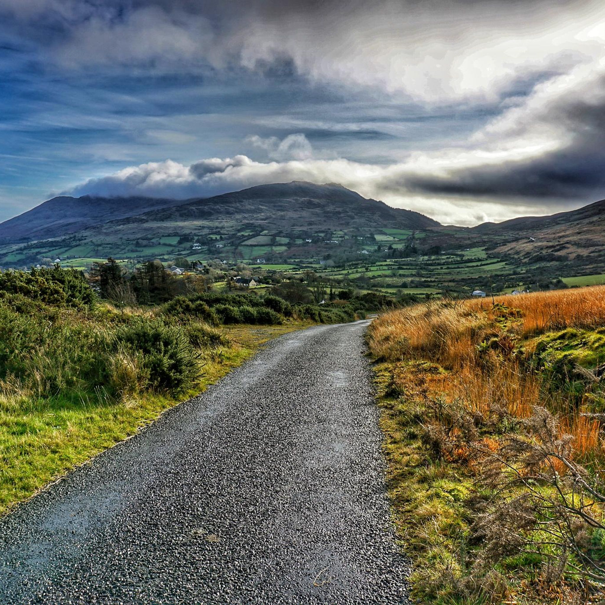
Road Cycling Routes in Louth
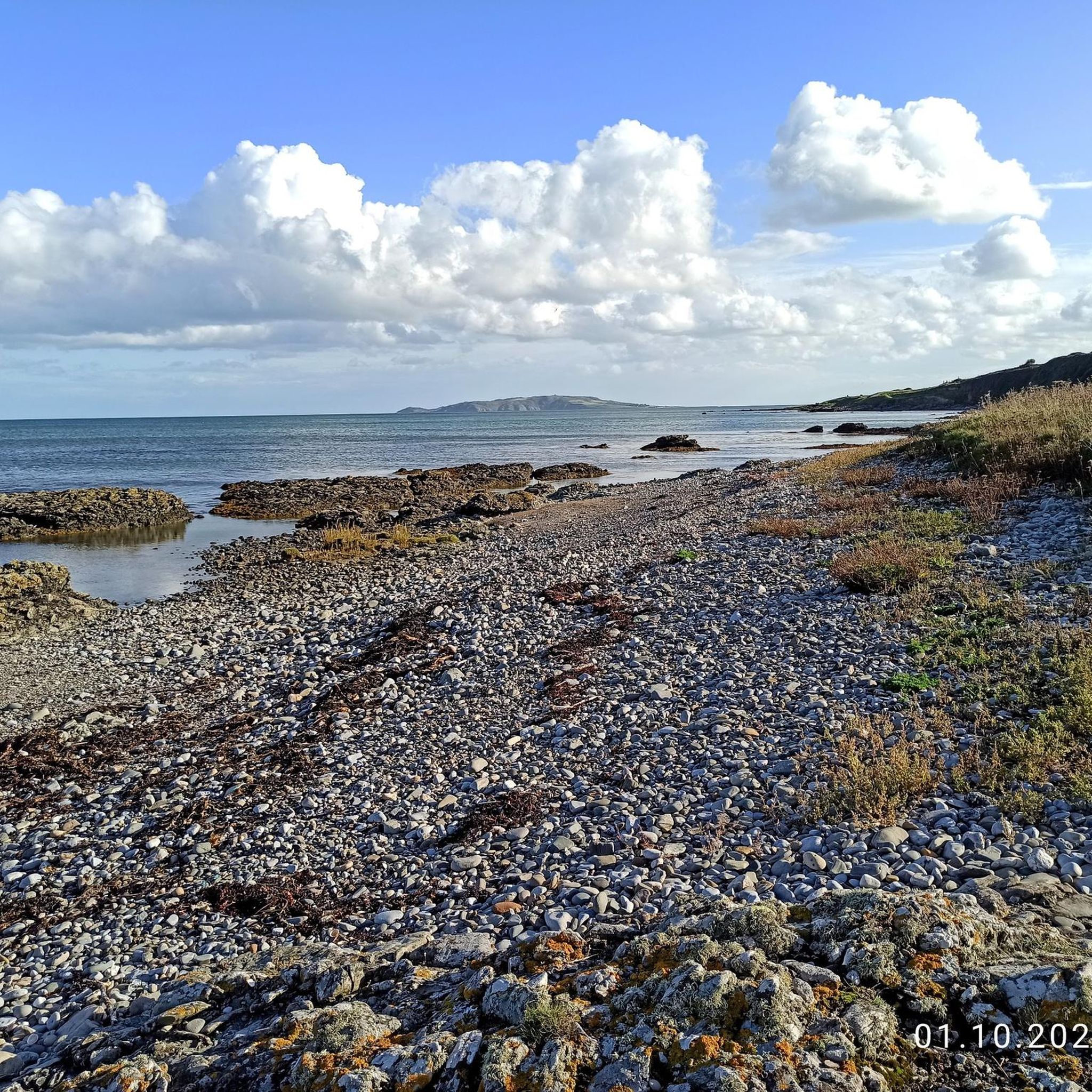
Running Trails in Louth
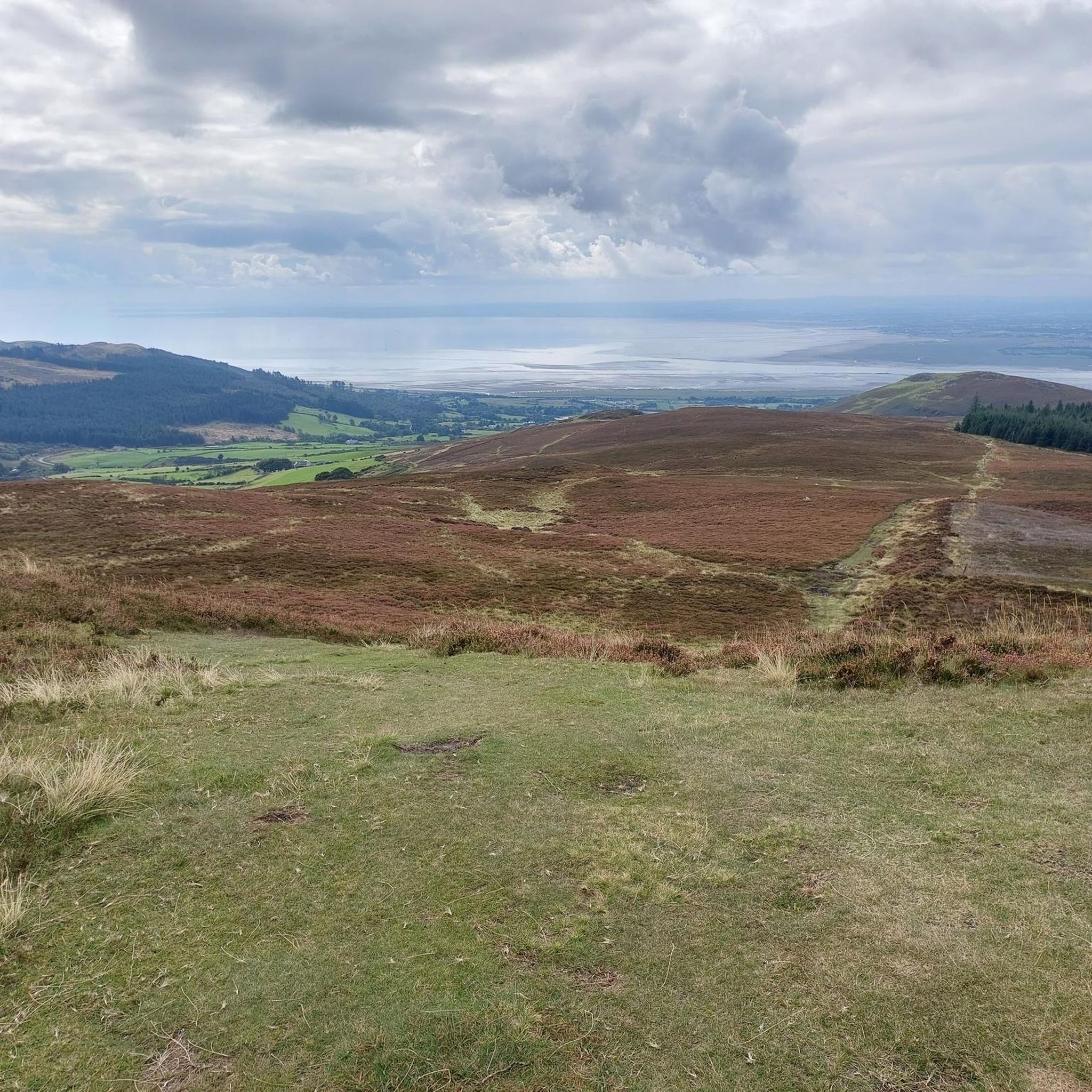
Cycling in Louth

Gravel biking in Louth


Tips from the Community

Taaffes Castle (2026-08-07): https://taaffescastle.com/ TRIPADVISOR (Taaffes Castle Bar, 2026-08-07): https://www.tripadvisor.ie/Restaurant_Review-g315880-d2223151-Reviews-Taaffes_Castle_Bar-Carlingford_Cooley_Peninsula_County_Louth.html
1
0

This charming seaside town overlooks the Mourne Mountains, whose silhouette rises along the coast of Northern Ireland. Carlingford is very lively at weekends thanks to its many pubs and restaurants, which attract visitors from the north, and is famous for its oysters. The village has several historical sights, such as the small King John's Castle, with its romantic silhouette overlooking the sea, and Taaffe's Castle, a former 16th-century merchant's house located a little further from the quay.
6
0
The Tholsel is undoubtedly one of the most unique structures in the heart of Carlingford. This medieval city gate, originally built in the 15th century, is the only remaining gate from the original town wall and served for centuries as the ceremonial and administrative entrance to the town.
6
2

This is a spectacular viewpoint just to the north of Clermont Carn's true summit, which is somewhat less attractive due to its transmission site. The summit is also home to an ancient burial site. Looking north, you can see into Northern Ireland and across towards the Mourne Mountains.
1
0

Carnavaddy isn't quite an official mountain at 475 m (1,558 ft), but it's a prominent mountain and commands great views down the peninsula and out to sea. It can be walked from either side and is often combined with Clermont Carn to the north to make an excellent mountain day.
0
0

The highest bar in County Louth along the Táin Way. A traditional Irish pub that offers a cozy interior with a warming fire and excellent food. A favourite amongst locals and hikers!
0
0
Taaffe's Castle is a fortified merchant's house dating from the early 16th century, built by the wealthy Taaffe family, who later became the Earls of Carlingford. Situated near the old harbour, the building originally served as a trading post on the ground floor with residential floors above. The architecture displays typical defensive features such as machicolations, narrow loopholes, spiral staircases, and multi-level garderobes. [curiousireland.ie], [castles.nl], [carlingfor...centre.com] The main structure is a four-storey rectangular tower, later extended with a 16th-century northern extension. Its location and construction clearly demonstrate Carlingford's importance as a thriving trading town during that period. After the 17th century, it fell into disuse, and eventually fell into disuse. Today, it forms part of a pub complex and remains a striking example of medieval urban defensive architecture in Carlingford.
6
1
Frequently Asked Questions
How many mountain bike trails are available in Louth?
Louth features over 10 mountain bike trails, offering a diverse range of experiences across its rugged mountains, scenic coastlines, and peaceful forests. These routes are highly rated by the komoot community, with an average score of 4.4 stars.
Are there mountain bike trails suitable for beginners in Louth?
Yes, Louth offers trails for all skill levels. While many routes provide a challenge, there are options suitable for beginners. For example, the region includes trails with moderate difficulty like Jenkinstown, which offers a flowy ride through varied terrain.
What kind of terrain can I expect on mountain bike trails in Louth?
You can expect a varied terrain in Louth. The Cooley Mountains offer rugged, open mountain cross-country (XC) trails with challenging climbs and thrilling descents. Ravensdale Forest Park provides trails through peaceful woodlands, often featuring fast, flowy sections with berms, rock gardens, roots, and kickers. Trails along Carlingford Lough offer coastal views.
Are there any long-distance mountain bike routes in Louth?
Yes, Louth has several longer mountain bike routes for those looking for an extended ride. One such option is the Long Woman's Grave Memorial – Carlingford loop from The Lumpers, which spans over 46 km and typically takes around 4 hours 42 minutes to complete through the Cooley Mountains.
Can I find circular mountain bike routes in Louth?
Many of Louth's mountain bike trails are designed as loops, allowing you to start and finish at the same point. Examples include the challenging Carlingford — Cooley Mountains loop and the moderate Ruins in Ravensdale Forest – Faux Dolmen of Anaverna loop from The Lumpers.
What are some notable landmarks or viewpoints along the mountain bike trails in Louth?
Louth's trails offer access to stunning natural and historical landmarks. In the Cooley Mountains, you can find panoramic views from peaks like Slieve Foye Summit. Coastal routes often provide views of Carlingford Lough and even Northern Ireland. Historical sites such as Carlingford Castle are also accessible near some trails.
Are there family-friendly mountain biking options in Louth?
While many trails in Louth are geared towards moderate to advanced riders, some areas like Ravensdale Forest Park offer more accessible sections. The Carlingford Lough Greenway is also a popular, flatter linear pathway suitable for families, though it's more of a cycling path than a technical mountain bike trail.
What do other mountain bikers say about the trails in Louth?
The mountain bike trails in Louth are highly regarded by the komoot community, with an average rating of 4.4 stars from over 10 reviews. Riders often praise the diverse terrain, from challenging mountain climbs to flowy forest sections, and the spectacular scenery, particularly around the Cooley Mountains and Carlingford Lough.
Are there mountain bike trails in Louth that offer views of Northern Ireland?
Yes, some mountain bike trails in Louth, particularly those on the Cooley Peninsula and around Carlingford Lough, offer stunning views across the lough towards Northern Ireland. An example of such a route is the Carlingford – View of Northern Ireland loop from Grange.
What is the best time of year to go mountain biking in Louth?
Louth's mountain biking trails can be enjoyed year-round, but conditions vary. Spring and autumn often provide pleasant temperatures and vibrant scenery. During winter, some higher or more technical trails might be more challenging due to wet or icy conditions. Always check local weather forecasts before heading out.
Are there any trails in Ravensdale Forest Park for mountain biking?
Yes, Ravensdale Forest Park is a popular spot for mountain biking in Louth. It features trails known for being fast and flowy, with sections that include berms, rock gardens, and roots. Routes like the Ruins in Ravensdale Forest – Ravensdale Creek loop from The Lumpers offer a good experience in this area.
Where can I find challenging mountain bike trails in Louth?
For advanced riders seeking a challenge, the Cooley Mountains are the primary destination. Trails here feature significant climbs and technical sections. Routes such as the The Tholsel, Carlingford – Carlingford loop from The Lumpers are rated as difficult, involving substantial elevation gain and demanding riding skills.
Most popular routes in Louth
Most popular attractions in Louth

Get inspired with the komoot mobile app


Didn’t find what you were looking for?
Check out more MTB trails throughout Louth below and find the perfect route in your destination.
Explore more
Browse the best MTB trails in other regions.
