The best hikes from bus stations in Plessur
4.6
(2245)
17,472
hikers
232
hikes
Bus station hiking trails in Plessur offer access to a diverse alpine landscape in the eastern Swiss Alps. The region is characterized by dramatic mountain chains, including the Plessur Alps, and deep valleys such as the Schanfigg Valley, through which the Plessur River flows. Hikers encounter mixed and coniferous forests, vast alpine pastures, and high-altitude terrain with peaks like Aroser Rothorn. The area provides a rich natural environment for outdoor activities, with trails accessible directly from public transport hubs.
Best…
Last updated: August 21, 2026
4.9
(40)
212
hikers
6.99km
02:26
320m
320m
Moderate hike. Good fitness required. Mostly accessible paths. Sure-footedness required.
4.9
(12)
90
hikers
16.9km
06:16
1,000m
1,090m
Hard hike. Very good fitness required. Sure-footedness, sturdy shoes and alpine experience required.

Sign up for free
5.0
(2)
24
hikers
16.3km
06:22
1,480m
160m
Hard hike. Very good fitness required. Sure-footedness, sturdy shoes and alpine experience required.
5.0
(2)
32
hikers
1.98km
00:35
100m
0m
Easy hike. Great for any fitness level. Easily-accessible paths. Suitable for all skill levels.
4.8
(70)
469
hikers
9.94km
03:03
360m
360m
Moderate hike. Good fitness required. Easily-accessible paths. Suitable for all skill levels.
Get access to more routes and recommendations from other explorers.
Sign up for free
Already have an account?
Our route recommendations are based on thousands of hikes, rides, and runs completed by other people on komoot.
Start today with a free account
Your next adventure awaits.
Login or Signup
Popular around Plessur
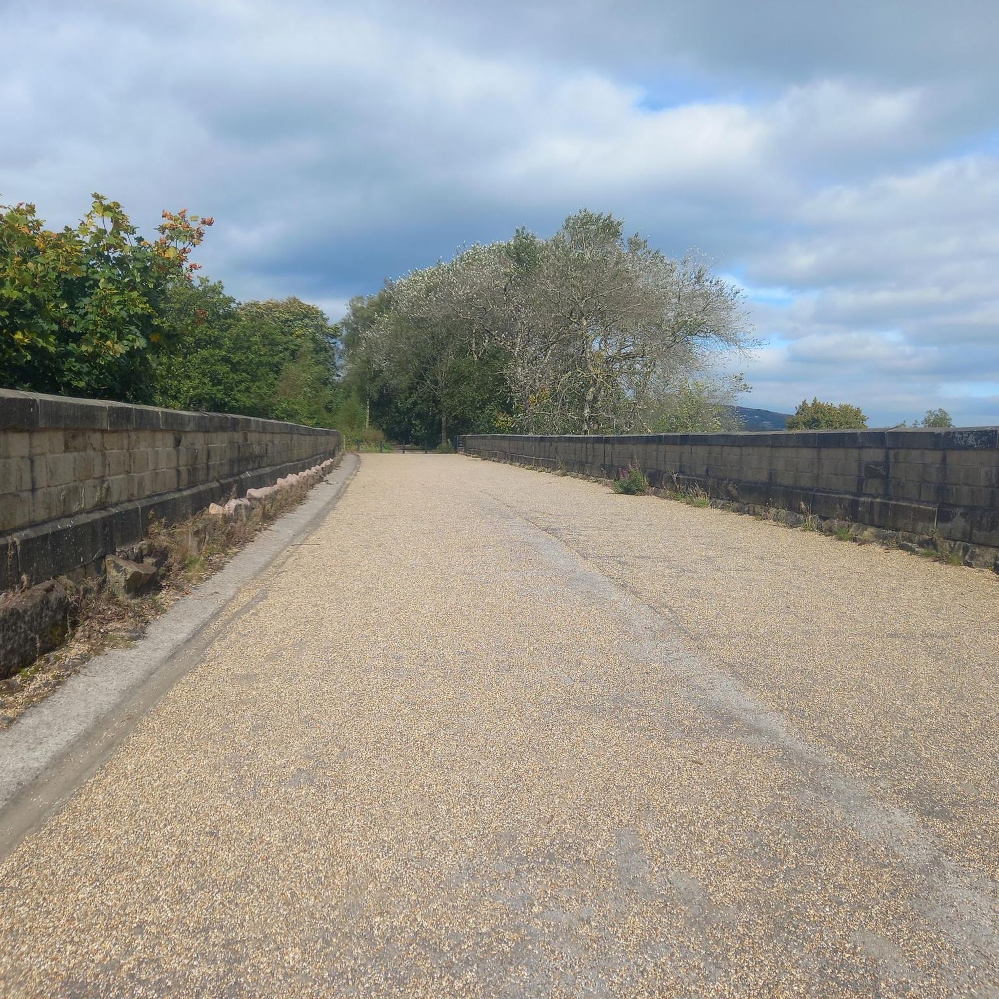
Hikes from bus stations around Arosa

Alpine Passes Trail in Switzerland – 34 stages of pure mountain fun
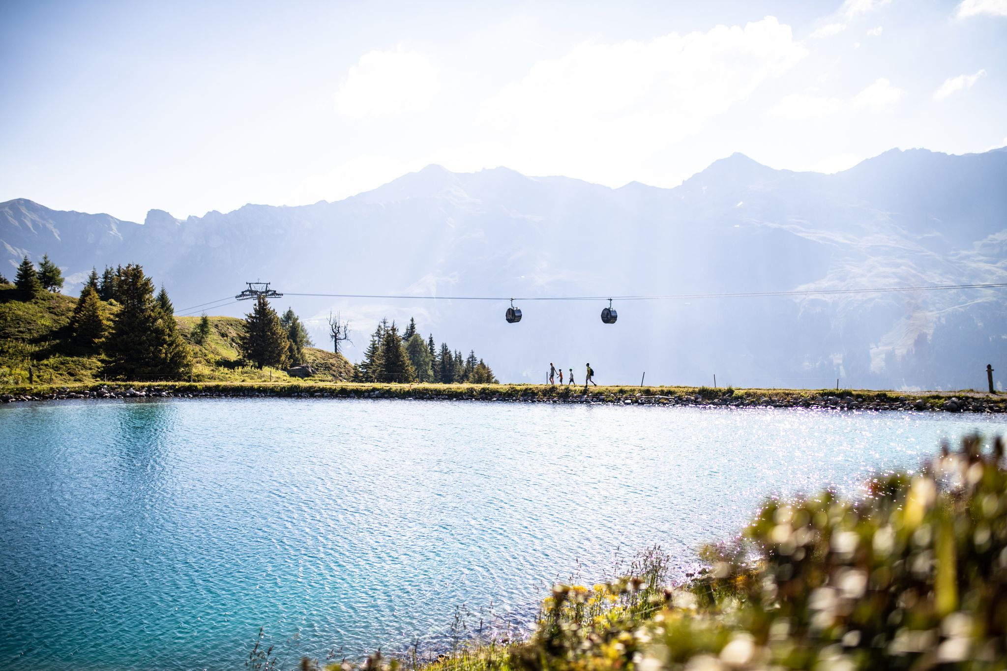
From the peaks to the cool waters – Coolcation Lenzerheide
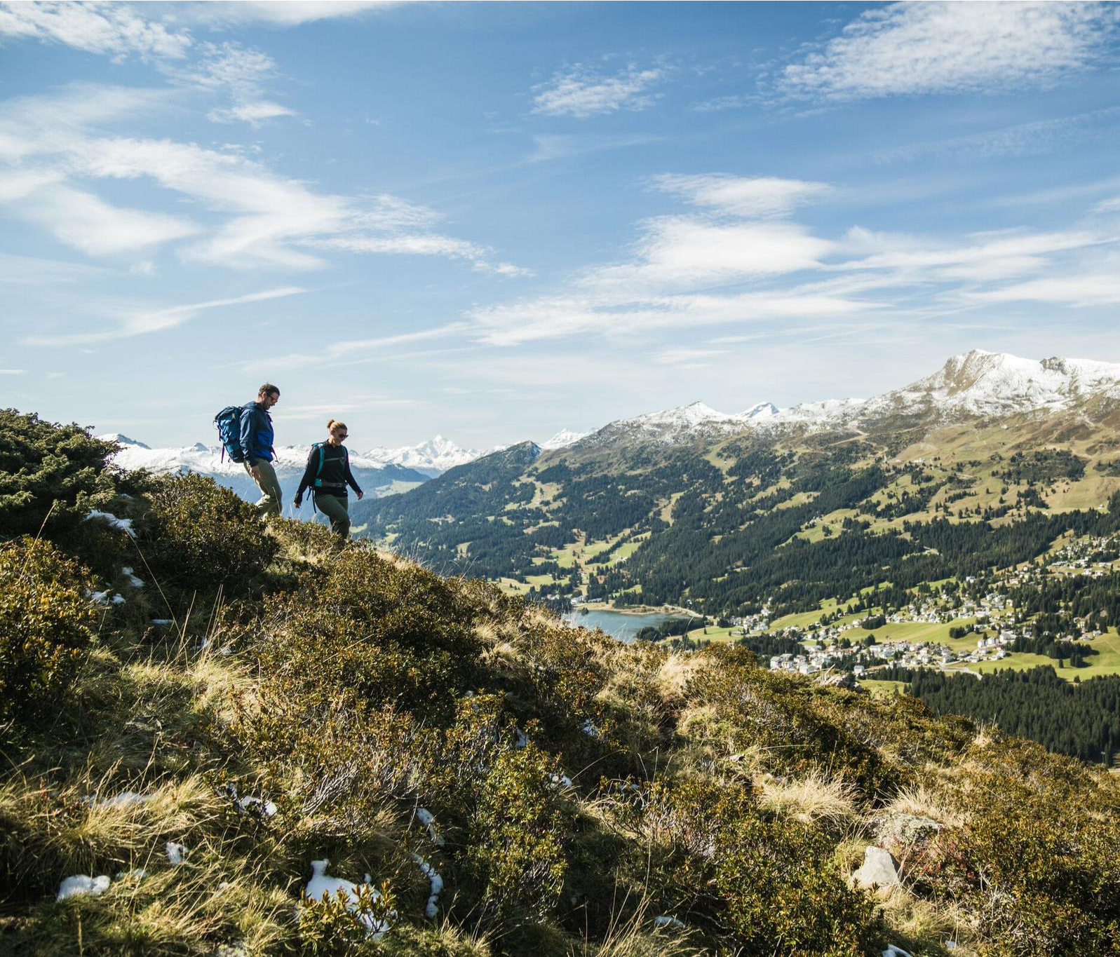
Diverse natural beauty – autumn hiking in Lenzerheide
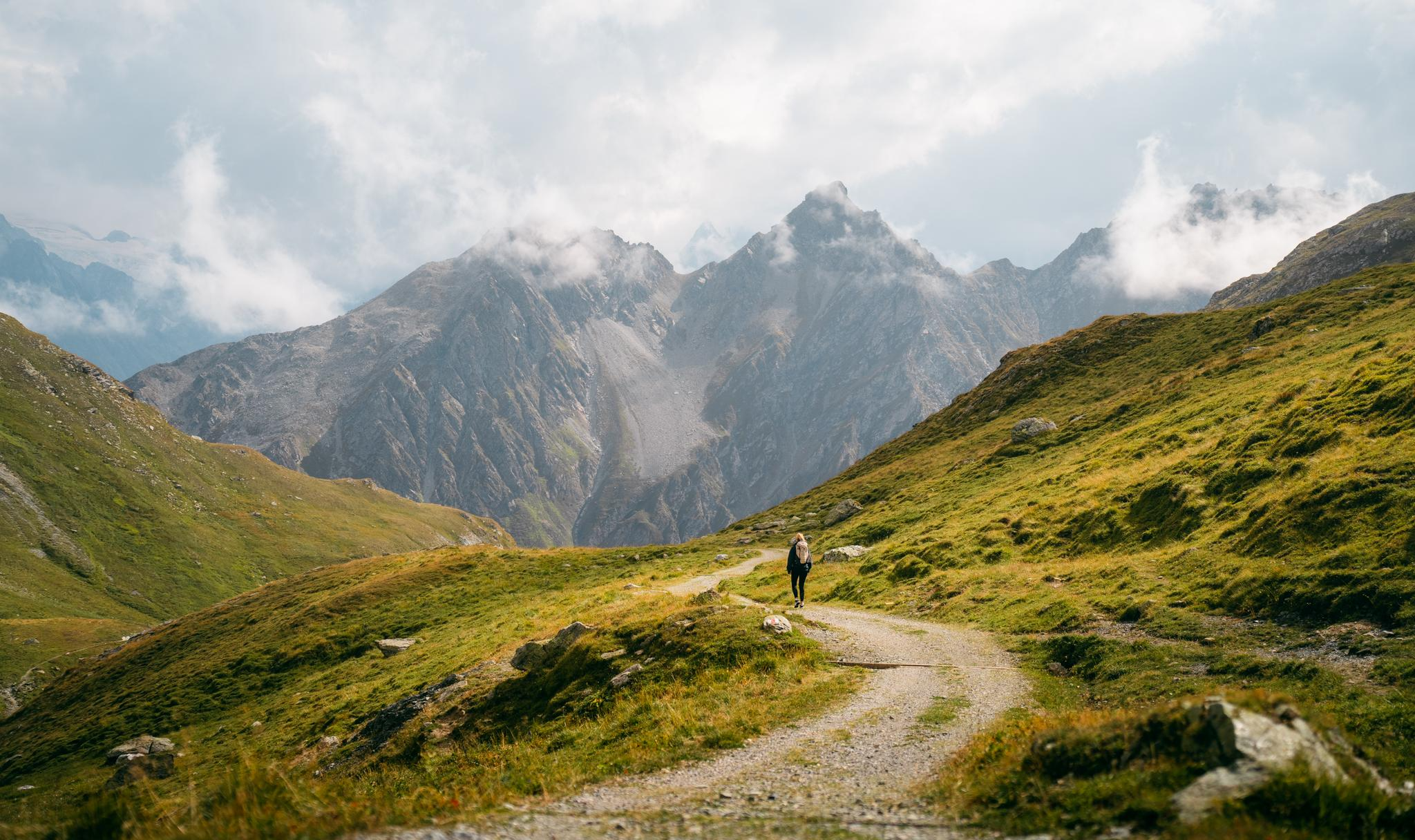
Quiet villages, proud passes, impressive history – the Via Sett
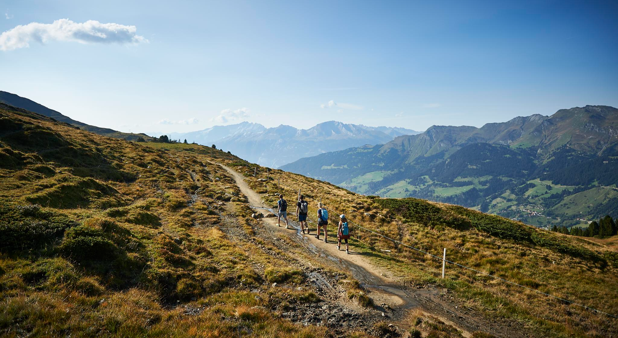
The favourite routes of the locals - hiking around Arosa
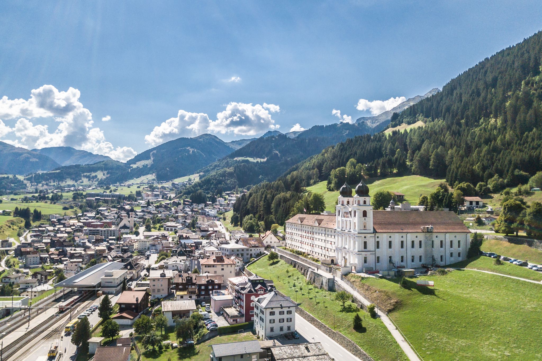
Between water, rock and forest - Grischun Cultura Surselva
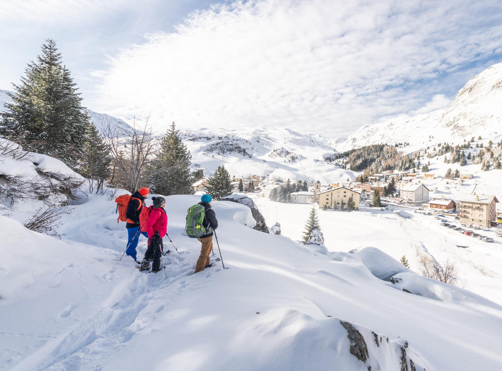
Snowshoe Safari – snowshoe trails through Graubünden
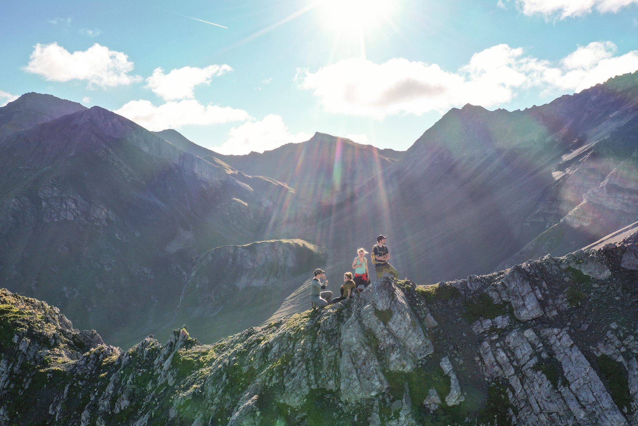
Satisfy your wanderlust in the Lenzerheide region
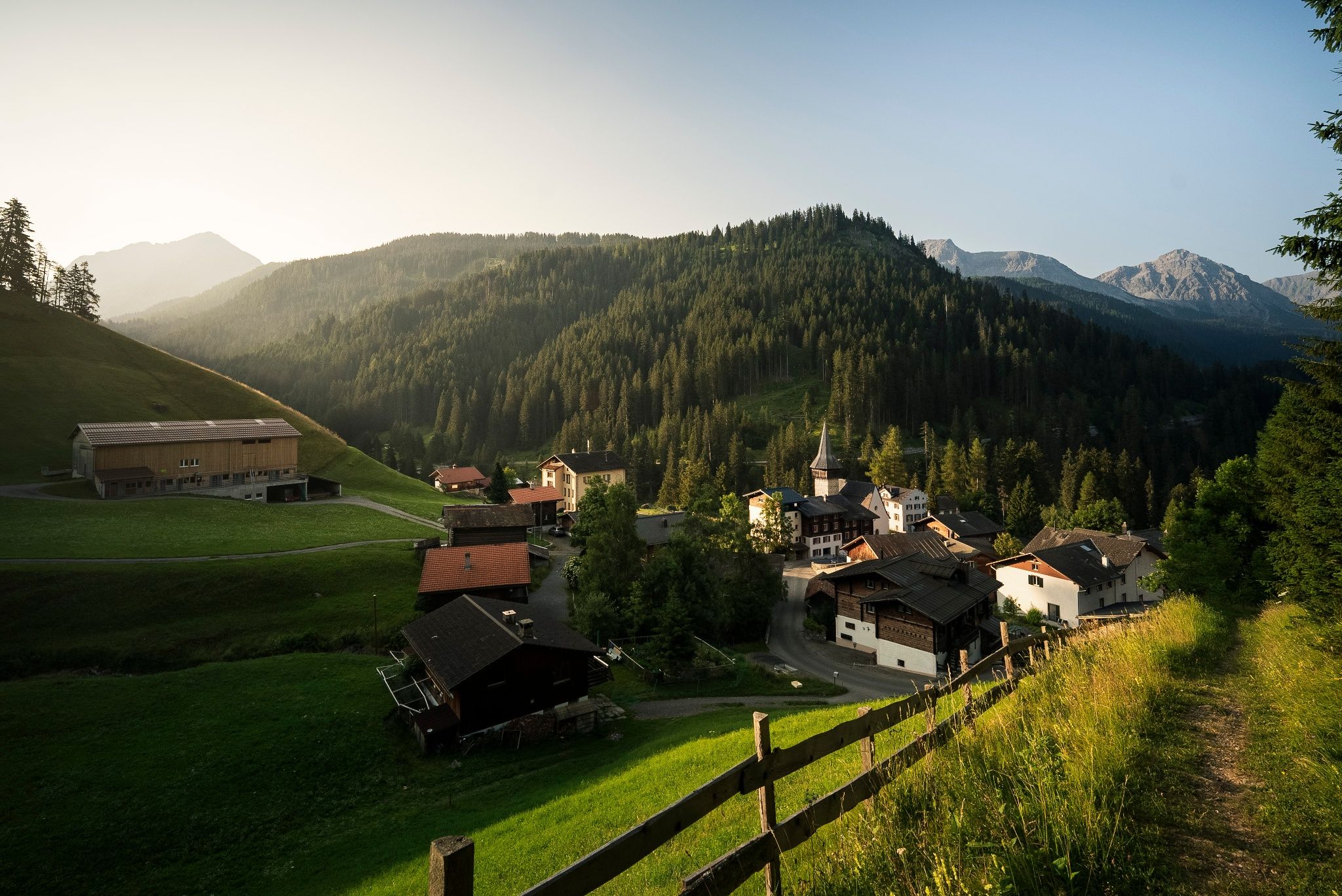
Village to village in the footsteps of the Walser – Schanfigger village trail
Other adventures in Plessur


Tips from the Community


Winter hiking with a gigantic panoramic view
1
0

I have no idea how animal-friendly this whole thing is. But the trail is certainly a highlight, especially for a hike with children. Squirrels, titmice, and nutcrackers come here to collect their nuts directly from your hand.
0
0
Beautiful waterfall right on the Eichhörnliweg.
6
0

nice connection from Dark side of the Moon to Alplisee
0
0

At the Churer Joch, at an altitude of around 2,000 meters, you can enjoy a magnificent view of the valley all the way to Chur and, of course, the peaks behind you. There's also a mountain restaurant, the Jochalp. It will be open Tuesday to Sunday in summer 2025, starting July 9. It's the last place to stop for refreshments on the way toward the Parpaner Schwarzhorn or Rothorn, so if it's open, sit down, enjoy the view, and take a break.
2
0
The Stelli Ridge leads from the Stelli summit past the Malakoff and on to the Parpaner Schwarzhorn. The trail is marked white-red-white, meaning it's a mountain hiking trail that requires good fitness and surefootedness. The view of the vast mountain landscape is best enjoyed while standing or sitting.
0
0
Frequently Asked Questions
How many hiking trails are accessible from bus stations in Plessur?
Plessur offers a wide selection of routes accessible by public transport. You can find over 230 hiking trails that start conveniently from bus stations, catering to various skill levels and preferences.
Are there easy hiking trails suitable for beginners or families starting from bus stations?
Yes, Plessur has many easy trails perfect for beginners or families. For instance, the Eichhörnliweg Arosa is a short, delightful walk known for its gentle terrain and opportunities to spot squirrels. Overall, there are over 120 easy routes available.
Can I find challenging or advanced hikes from bus stations in Plessur?
Absolutely. For experienced hikers seeking a challenge, Plessur offers over 25 difficult routes accessible by bus. Consider the demanding Arosa – Ramozhütte SAC – Arosa tour, which features significant elevation gain and stunning alpine scenery. Another challenging option is the Parpan – Joch – Rothorn route, leading to high summits.
Are there circular hiking routes available from bus stations?
Yes, many routes are designed as circular walks, allowing you to start and end at the same bus station without needing to retrace your steps. A popular moderate circular option is the Scheidegg – Rot Tritt viewpoint loop from Arosa, offering panoramic views.
What kind of scenery and natural features can I expect on these bus station hikes?
Plessur's bus station hikes immerse you in diverse landscapes, from mixed and coniferous forests to vast alpine pastures and dramatic mountain chains like the Plessur Alps. You can expect picturesque valleys such as the Schanfigg Valley, and unique geological formations like the Arosa Dolomites. Many trails offer breathtaking views of peaks like Aroser Rothorn and Lenzerhorn.
Are the bus station hiking trails in Plessur dog-friendly?
Many trails in Plessur are suitable for hiking with dogs, but it's always recommended to check specific route details for any restrictions or requirements. Generally, dogs are welcome on most public paths, especially if kept on a leash and waste is properly disposed of. Always be mindful of livestock on alpine pastures.
What are some notable landmarks or attractions I can see along these routes?
Along the bus station accessible trails, you can discover several points of interest. Highlights include the historic Dreibündenstein Monument, the impressive Weisshorn Summit (accessible via strenuous hikes or cable car), and the scenic Strela Pass. Many routes also pass by beautiful mountain lakes like those on the Two lakes hike to Älplisee and Schwellisee.
Are there mountain huts or places to stop for refreshments along the bus station trails?
Yes, several routes pass by welcoming mountain huts where you can rest and enjoy refreshments. Notable options include the Ochsenalp Mountain Hut and the Hörnli Hut, both popular destinations for hikers. These provide excellent opportunities to refuel during your hike.
What is the best season for hiking from bus stations in Plessur?
The best season for hiking in Plessur is generally from late spring to early autumn (May to October), when trails are clear of snow and the alpine flora is in full bloom. Summer offers warm weather and long daylight hours, while autumn provides stunning fall colors. Always check local conditions before heading out, especially in shoulder seasons.
Is winter hiking possible from bus stations in Plessur?
Yes, Plessur is also a popular winter destination. Many ski resorts like Arosa and Davos transform their slopes into scenic winter hiking trails. While some higher alpine routes may be inaccessible, lower elevation paths and designated winter hiking trails remain open and offer a unique experience in the snow-covered landscape. Always check trail conditions and avalanche warnings during winter.
How do other hikers rate the bus station trails in Plessur?
The hiking trails in Plessur are highly regarded by the komoot community, boasting an impressive average rating of 4.6 out of 5 stars from over 1,900 reviews. Hikers frequently praise the region's stunning natural beauty, well-maintained paths, and the convenience of public transport access to trailheads.
Most popular routes in Plessur
Most popular attractions in Plessur

Get inspired with the komoot mobile app


Didn’t find what you were looking for?
Check out more Hikes throughout Plessur below and find the perfect route in your destination.
Explore more
Browse the best Hikes in other regions.
