The best hikes from bus stations around Bühlertal
4.6
(4221)
17,346
hikers
119
hikes
Bus station hiking trails around Bühlertal are situated in the Northern Black Forest, characterized by dense forests, rolling hills, and picturesque valleys. The region features extensive vineyards, offering views over the Rhine Valley and towards the Vosges mountains. Notable natural features include the Gertelbach Waterfalls and the Hornisgrinde, the highest mountain in the northern Black Forest. The landscape provides diverse terrain for hikers, from river valleys to higher elevations.
Best bus station hiking trails around Bühlertal
- The most popular bus…
Last updated: May 15, 2026
4.8
(942)
3,554
hikers
9.69km
03:18
400m
400m
Moderate hike. Good fitness required. Mostly accessible paths. Sure-footedness required.
4.8
(341)
1,426
hikers
Easy hike. Great for any fitness level. Easily-accessible paths. Suitable for all skill levels.

Sign up for free
4.3
(19)
60
hikers
5.50km
01:37
110m
110m
Hard hike. Great for any fitness level. Sure-footedness, sturdy shoes and alpine experience required.
4.8
(220)
773
hikers
4.95km
01:53
280m
280m
Moderate hike. Great for any fitness level. Mostly accessible paths. Sure-footedness required.
4.3
(66)
258
hikers
Moderate hike. Good fitness required. Mostly accessible paths. Sure-footedness required.
Get access to more routes and recommendations from other explorers.
Sign up for free
Already have an account?
Our route recommendations are based on thousands of hikes, rides, and runs completed by other people on komoot.
Start today with a free account
Your next adventure awaits.
Login or Signup
Popular around Bühlertal
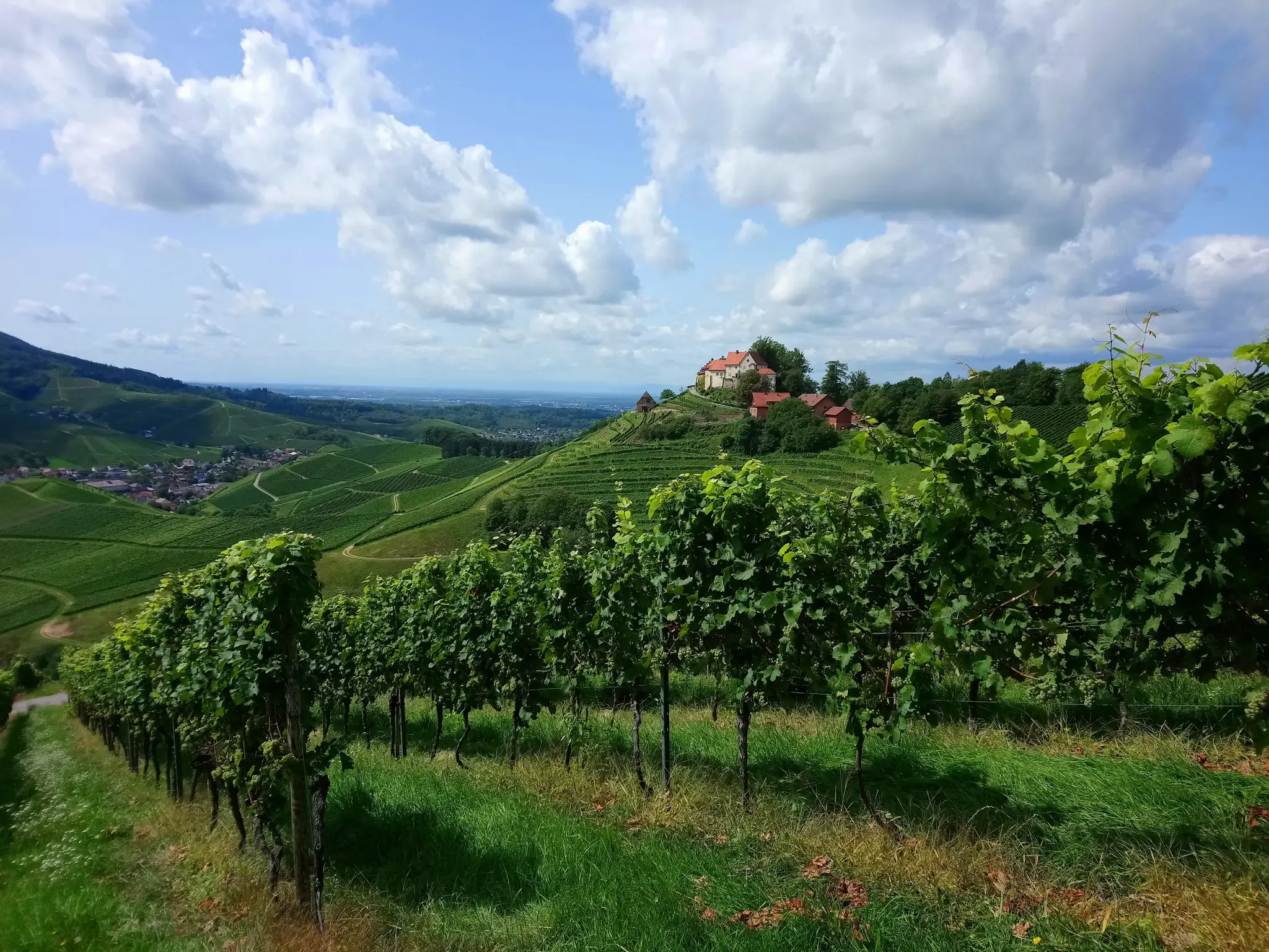
Ortenau Wine Trail – A glass of red and white, please
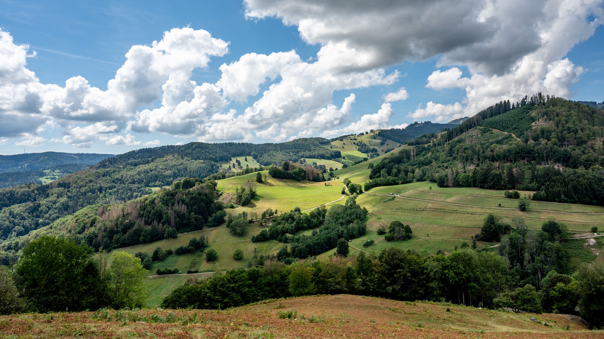
The National Natural Landscapes in Baden-Württemberg
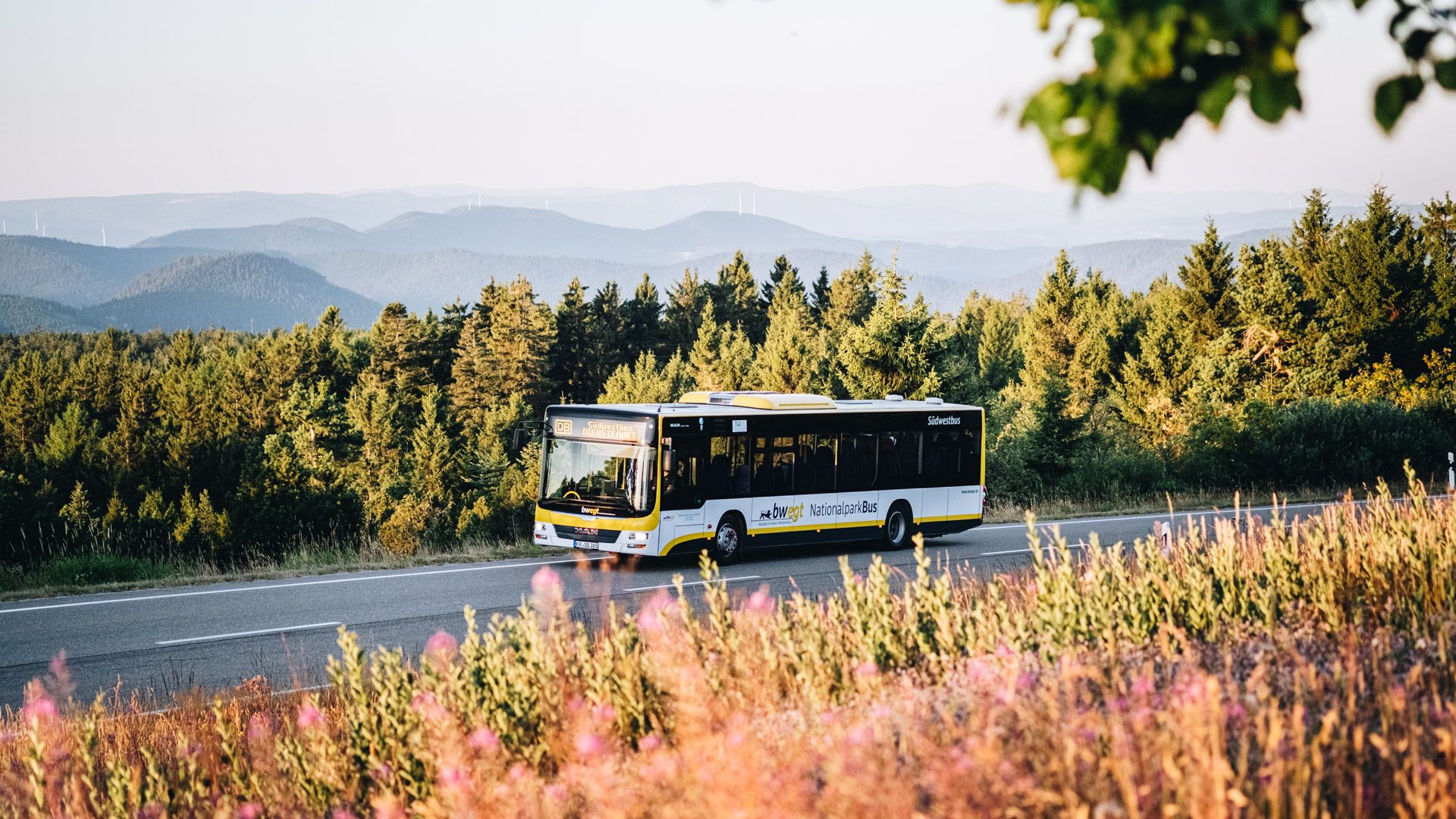
Pure nature: discover the Black Forest by bus and train
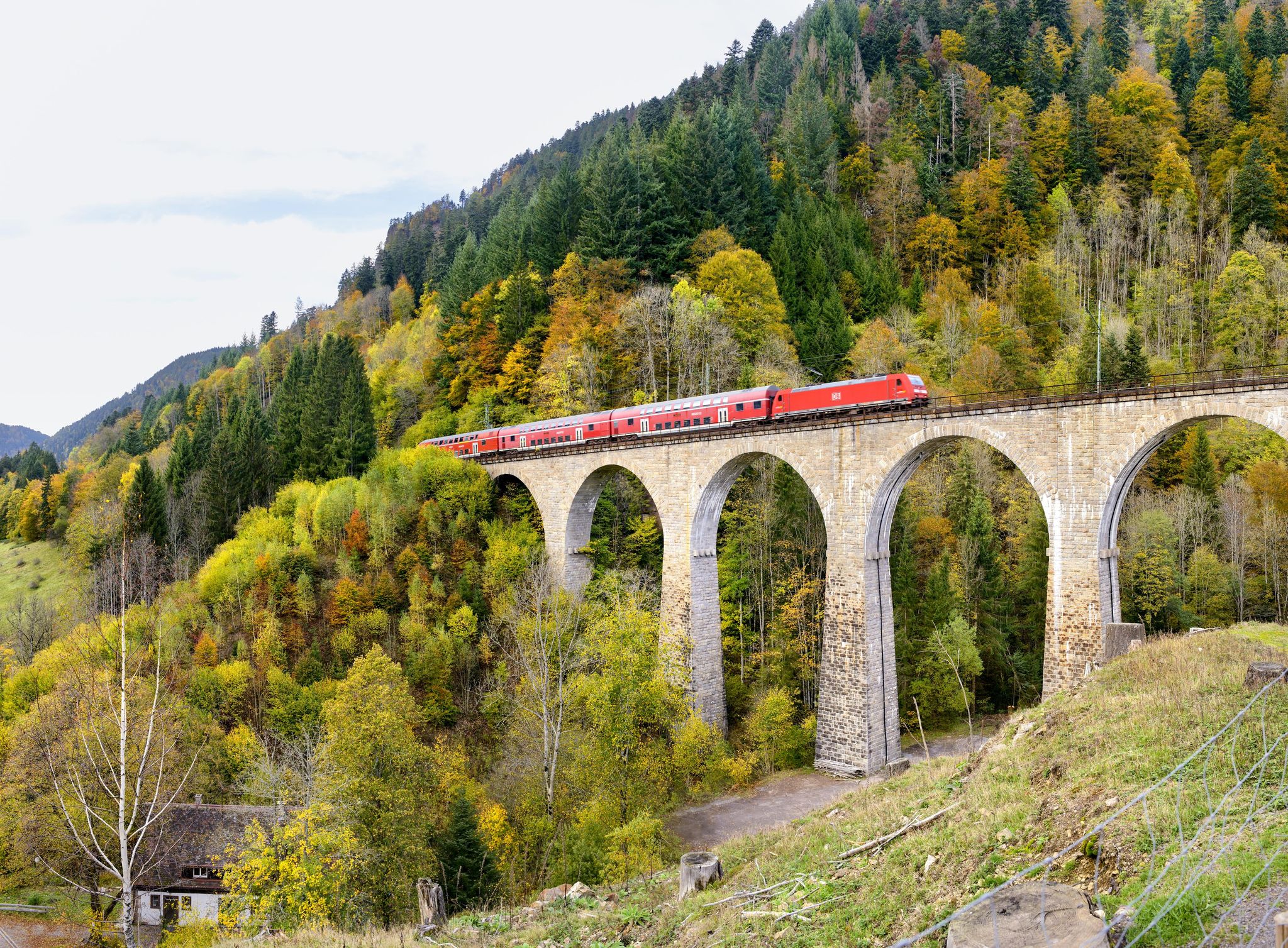
Into the countryside by bus and train – hiking in Germany’s large protected areas
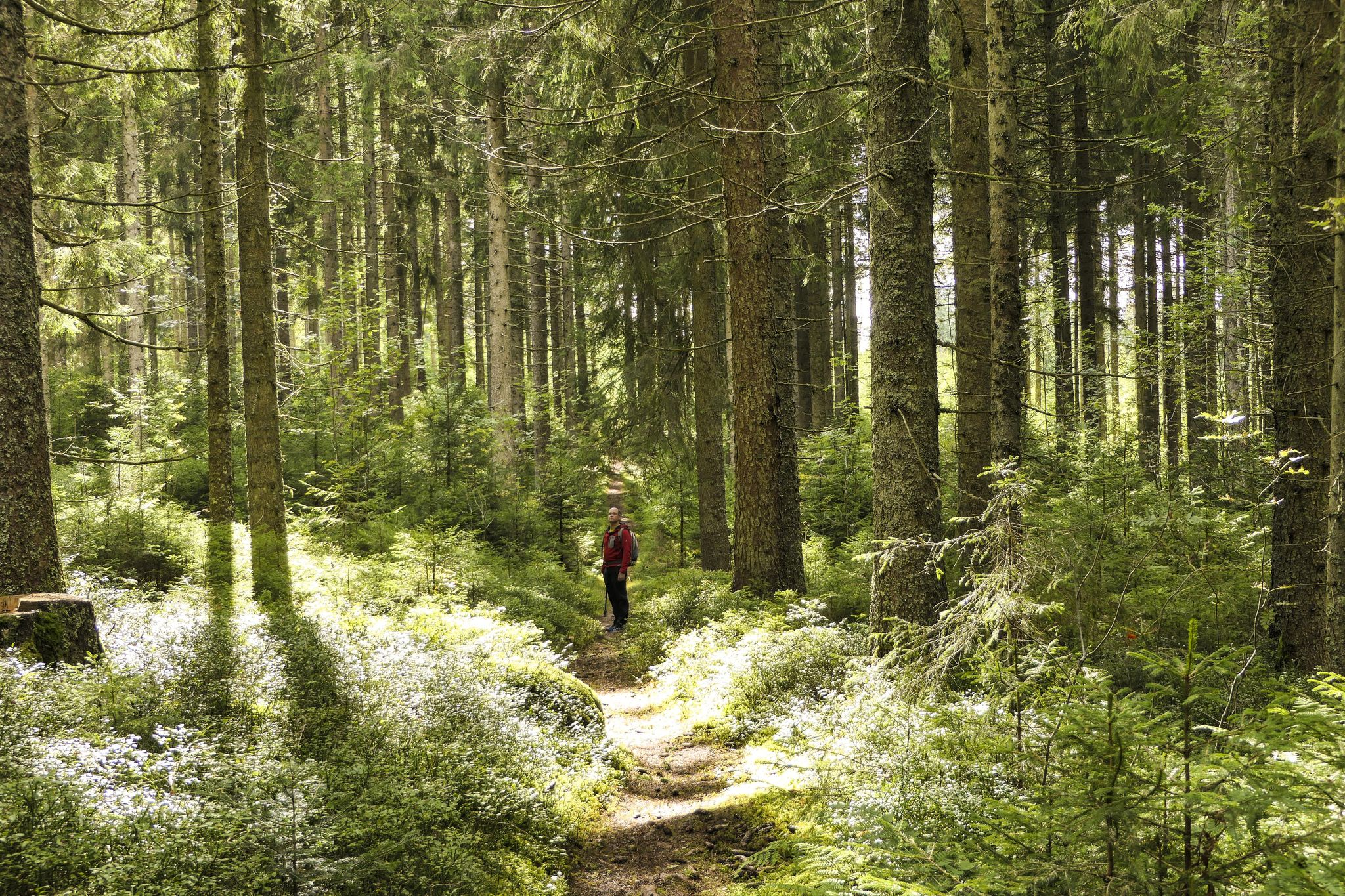
Discover 10 special protected natural areas in Germany’s Baden–Württemberg
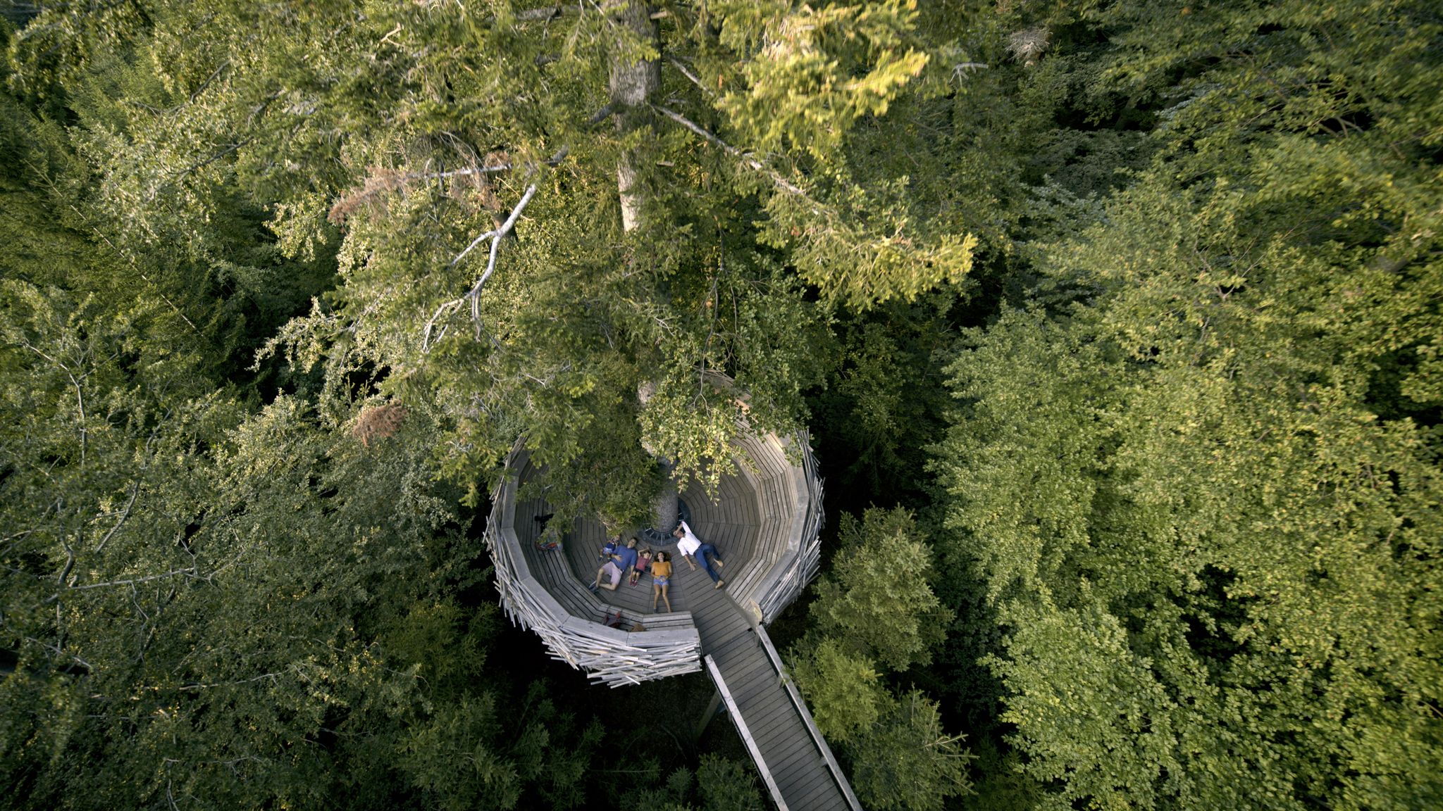
On the road in the Black Forest National Park
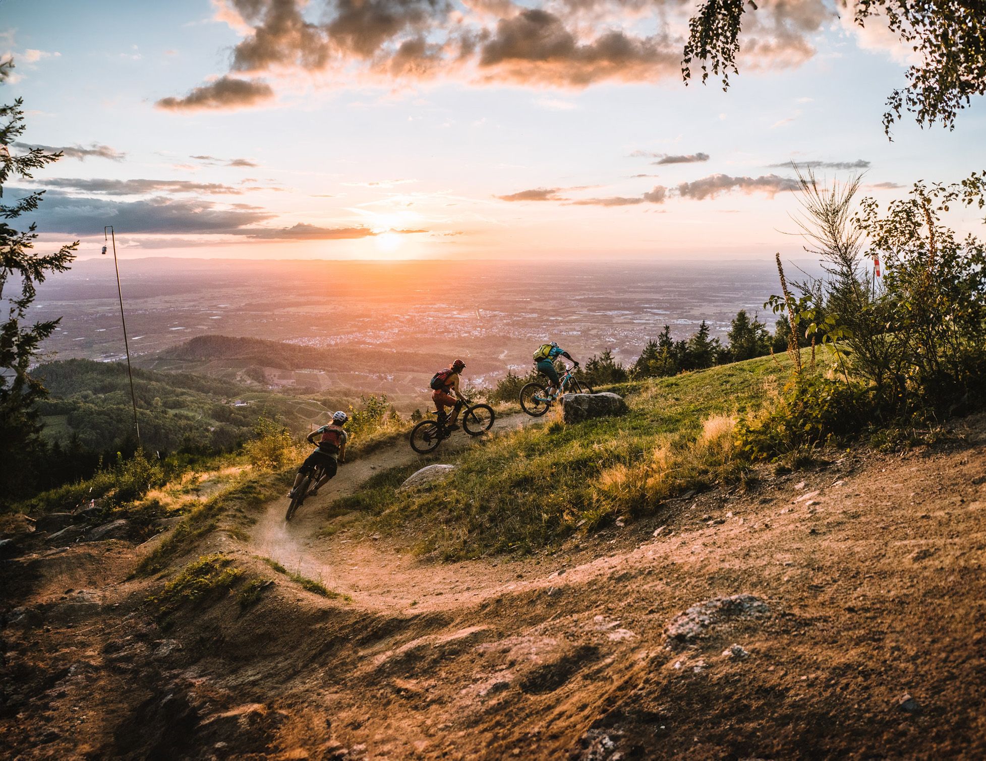
Discover the Black Forest on flowy trails

Lichterglanz und Winterwanderzauber – Advent im Schwarzwald
Other adventures around Bühlertal


Tips from the Community

Moss-covered rocks here and there amidst wonderful little waterfalls!
0
0


Very informative with lots of information about lynxes and their habitat.
0
0

"Back" trail from the waterfalls, ideal for a leisurely return.
1
0
With the rain we had that day, we had to be careful when crossing the wooden bridges.
3
0
One of the many bridges to cross along the way.
3
0

It's worth a visit.
2
0

Beautifully designed rest area with two groups of tables that invite you to have a snack... in summer the trees provide shade
1
0
Frequently Asked Questions
How many bus-accessible hiking trails are available around Bühlertal?
There are over 120 hiking routes around Bühlertal that are easily accessible by bus. These trails offer a diverse range of experiences, from easy strolls to more challenging ascents, all starting conveniently from local bus stops.
What kind of landscapes can I expect on bus-accessible hikes in Bühlertal?
Hikes accessible by bus in Bühlertal traverse a rich variety of landscapes. You'll find dense Black Forest woodlands, picturesque vineyards with views over the Rhine Valley, and romantic gorges featuring impressive waterfalls. The region's position between the Black Forest and the Rhine Valley ensures stunning and varied scenery.
Are there any easy, family-friendly hikes accessible by bus in Bühlertal?
Yes, Bühlertal offers several easy and family-friendly options. For instance, the Black Forest National Park: Lynx Trail is an easy route that allows families to explore the natural beauty of the area without significant elevation changes. Many trails are suitable for various fitness levels.
Can I find circular hiking routes starting from bus stops in Bühlertal?
Absolutely! Many of the bus-accessible trails in Bühlertal are circular, allowing you to start and end your hike at the same bus stop. A popular option is the Gertelbach loop near Bühlertal, which takes you through forests and past the famous waterfalls.
Are there any waterfalls along the bus-accessible hiking trails?
Yes, the Bühlertal region is renowned for its waterfalls. The Gertelbach Waterfalls are a prominent natural highlight, with paths including stairs and footbridges offering varied perspectives. The Gertelbach Waterfall – Gertelbach Waterfalls loop from Wiedenfelsen is a great example of a route that features these cascades.
What are some notable viewpoints or attractions I can see on these hikes?
Many bus-accessible hikes lead to stunning viewpoints and attractions. You can enjoy panoramic views from the View from the Ritterplatte or the Brennte Schrofen viewpoint. The historic Windeck Castle ruins also offer fantastic vistas over the town and surrounding landscape.
Is Bühlertal suitable for dog-friendly hiking from bus stations?
Bühlertal is generally very dog-friendly, with many trails welcoming well-behaved dogs on a leash. The diverse terrain, from forest paths to open vineyards, provides plenty of sniffing opportunities for your canine companion. Always check local regulations for specific areas, especially in nature reserves.
What is the best time of year to go hiking from bus stations in Bühlertal?
Bühlertal offers excellent hiking opportunities year-round. Spring brings blooming meadows, summer provides pleasant warmth, autumn showcases vibrant colors, and winter offers clear distant views. Each season presents a unique charm, making it a great destination for hiking at any time.
Are there any challenging or difficult bus-accessible routes for experienced hikers?
For experienced hikers seeking a challenge, routes like the Wilderness trail — adventure after the storm offer a more difficult experience. While not a via ferrata, the Karlsruher Grat is a notable rock formation that provides spectacular views and requires sure-footedness for those looking for a more adventurous scramble.
What do other hikers say about the bus-accessible trails in Bühlertal?
The bus-accessible trails in Bühlertal are highly rated by the komoot community, with an average score of 4.57 stars. Hikers often praise the region for its diverse scenery, well-maintained paths, and the convenience of public transport access, making it easy to explore the stunning Black Forest and vineyard landscapes.
Are there any specific trails that highlight the vineyards of Bühlertal?
Yes, the region's vineyards are a significant feature. While not a specific route in the provided data, the Bühlertal Wine Trail is a well-known option that allows you to combine hiking with exploring the local wine culture, often offering stunning views over the cultivated landscape and the Rhine Valley.
Most popular routes around Bühlertal
Most popular attractions around Bühlertal

Get inspired with the komoot mobile app


Explore more
Browse the best Hikes in other regions.
